
Search for another town




Free U.S. delivery 7 to 10 days after you order
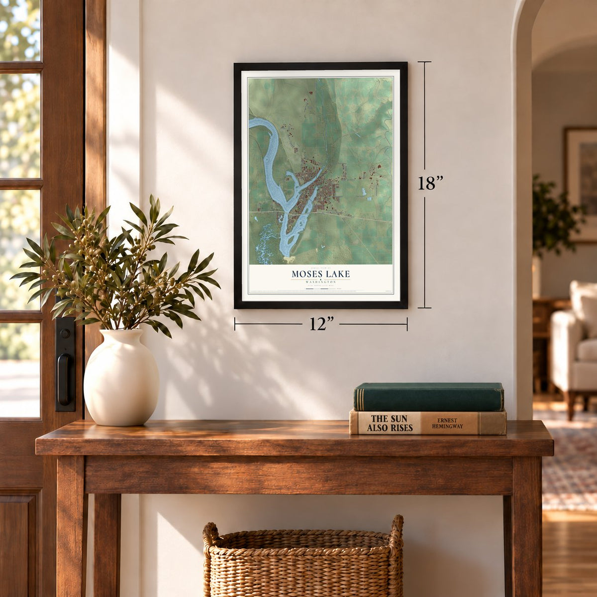
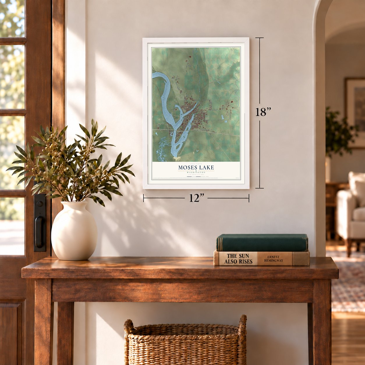
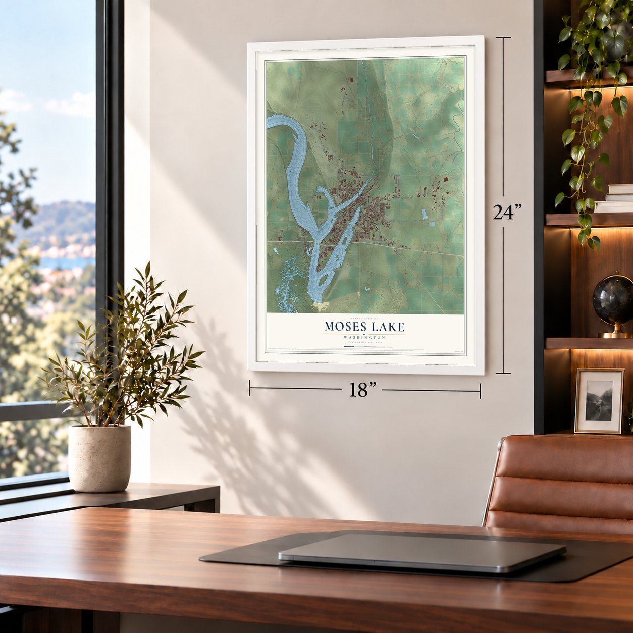
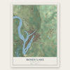
Moses Lake, Washington Map Art
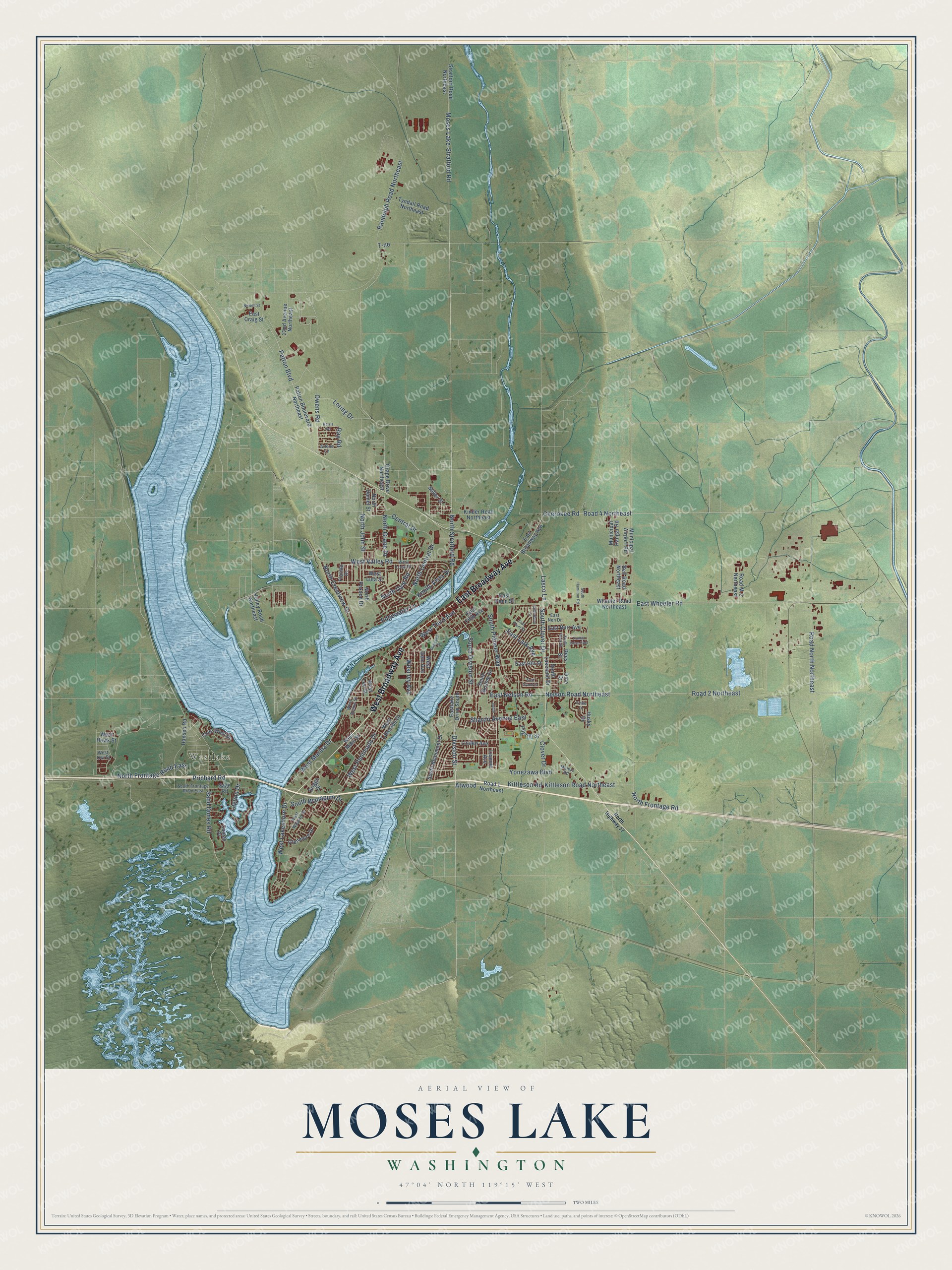
A new map of Moses Lake, Washington, made in 2026 and printed to order on thick archival matte paper.
12" x 18" Archival Matte Print
A Map of Home. A Work of Art.
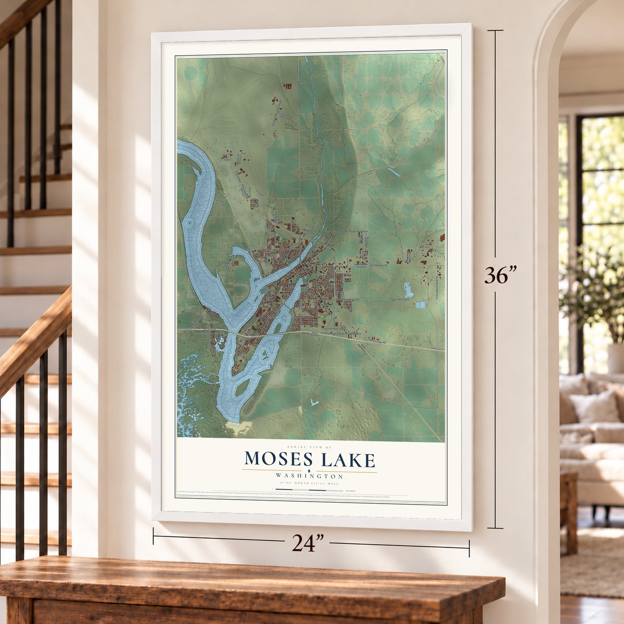
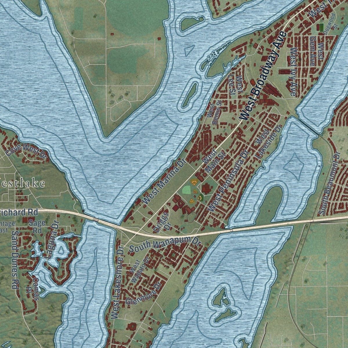
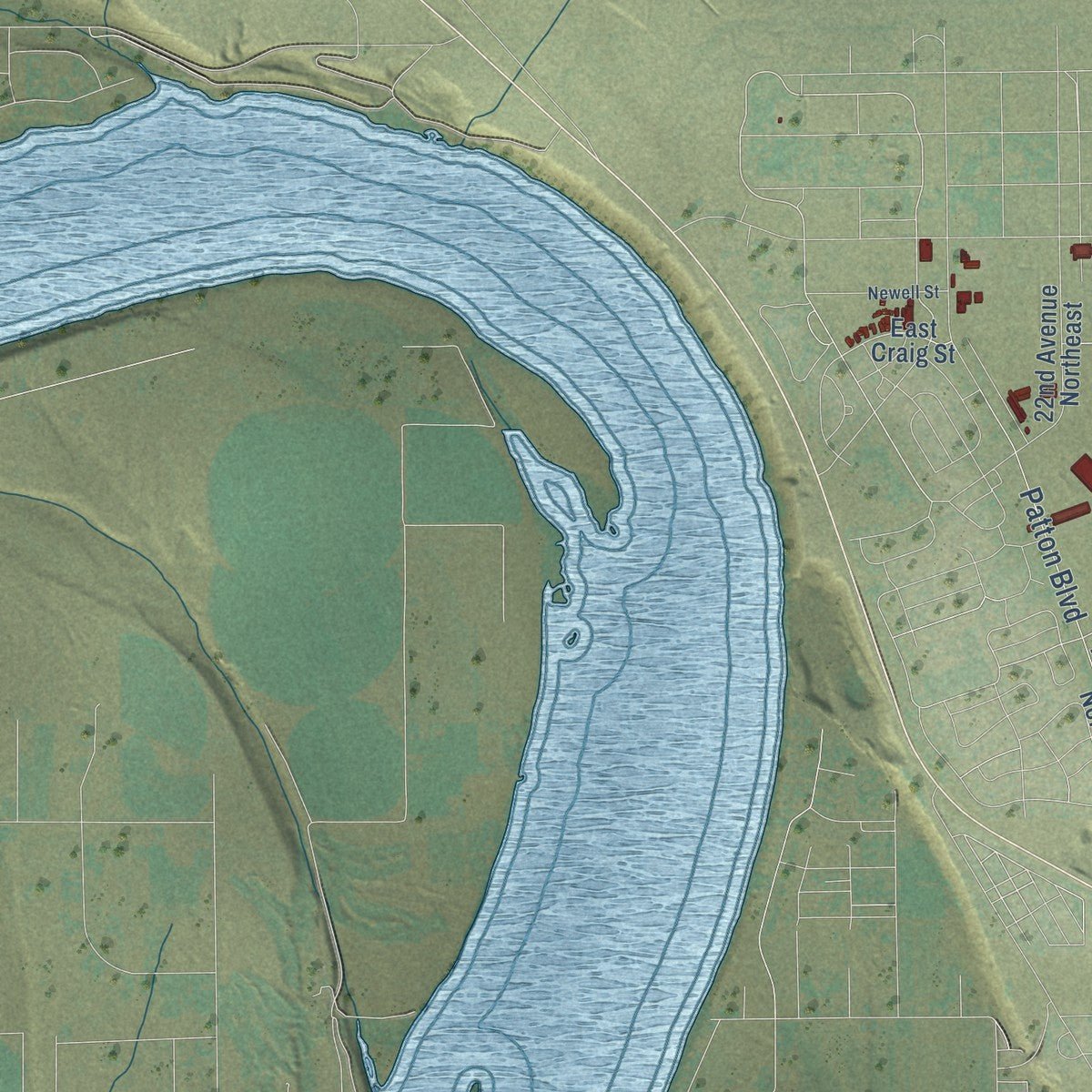
Explore Moses Lake, Washington from a whole new perspective. Created using aerial imagery and detailed geographic data, this map captures Moses Lake building by building, with labeled streets, familiar landmarks, and shaded topographical relief that highlights the natural contours of the landscape.
Combining modern data with the timeless character of a vintage atlas, this map is just as interesting up close as it is beautiful on the wall. Whether you grew up in Moses Lake, spent memorable years there, or call it home today, this unique map is a great way to celebrate a place that means something to you. Zoom in on the preview to look for your street, and then order a print to put your memories on the wall.
Three ways to hang it
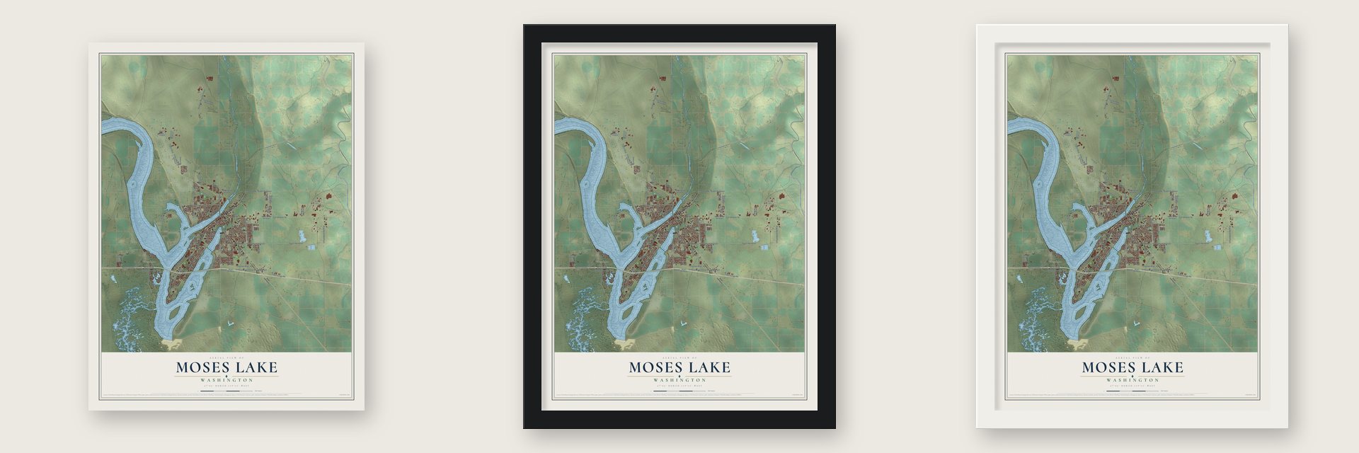
Unframed archival matte, a black wood frame or a white wood frame.
Up close
Geography Worth Displaying
This map was created using accurate cartographic data and authoritative geographic sources, including the U.S. Geological Survey and the Census Bureau. The map brings together terrain, waterways, roads, and building detail. The majority of the streets are labeled, houses are accurately depicted, and the topography is derived from government sources. Combining local data with carefully composed color and shading leads to this beautifully detailed Moses Lake artwork for your wall.
Rather than simply showing street outlines, we’ve included as many of the street names as we could reasonably fit on the map while keeping their names legible. Zoom in on the high resolution preview to see exactly what’s on the map. We truly set out to create a statement piece for anyone who loves Moses Lake. So whether it’s for you, or a gift for someone you love, we hope this map of Moses Lake brings back fond memories.
Read the story behind this map of Moses Lake, Washington from 2026.
About Moses Lake, Washington
Moses Lake is a city of 25,146 people in Grant County, in central Washington. For centuries Indians dug camas roots and gathered bird eggs beside the shallow lake. Settlers named it for Chief Moses (1829-1899), who had camped on its shores since he was a boy. By the 1880s settlers had spread along the shore, and Moses' band had to look for eggs at lakes farther away.
In 1910 a cluster of houses and farm buildings called Neppel grew up here, named for a settler's hometown in Germany. Around 1911 its farmers dammed the lake's outlet in the sand dunes and began pumping water to thousands of acres of apple orchards. Drought, low prices and the Great Depression killed the orchards in the early 1930s, but U.S. Highway 10 then brought travelers through town. In September 1938 voters chose to incorporate as Moses Lake, 71 to 41, and the town of 302 people became official on September 15, 1938.
“If you didn’t make $50,000 that year in Moses Lake, you were a bum”
- An air base in 1942During World War II, Moses Lake Army Air Base opened north of town, where clear skies and high cloud ceilings suited training, first for pilots of P-38s and then for B-17 Flying Fortress crews. Mothballed after the war, it reopened in 1948 as an Air Force base with more than 1,000 people. In 1950 it became Larson Air Force Base, after Yakima fighter pilot Major Donald A. Larson, who was killed over Nazi Germany.
- Japan Air Lines since 1968When the base closed, its last commander, Col. Clyde Owen, became director of the new Grant County International Airport. He heard from Boeing contacts that Japan Air Lines wanted a new place to train pilots after noise complaints in Hawaii. In 1968 the airline made the airport its main training site for Boeing 747s, and it was still training pilots there in 2007.
- Two potato crops in 1940In the 1940s farmers drew new irrigation water from the Columbia River and from the lake. They found that potatoes suited the soil and climate, and some of them harvested two crops in 1940. When the Columbia Basin Project began delivering water in the mid-1950s, farms grew by thousands of acres and added corn, onions, carrots and sugar beets.
- A college on 144 acresBig Bend Community College opened on September 12, 1962, with about 300 students. Classes met at Moses Lake High School while its own buildings went up on 144 acres of sagebrush flats. After Larson closed, the college took over 159 acres of the old base, and by 1975 its whole campus had moved there.
- Adam East's collectionAdam East (1871-1956) searched old sites across the Columbia River Basin for tribal and archeological artifacts. He refused offers to buy them because he wanted them kept in the region. The community began building a museum for them in 1956, and East died before it was dedicated in 1958. The collection is housed at the Moses Lake Museum and Art Center.
Find your street
Names on the Moses Lake map
Every name below is printed on this map. Look for your street, your school, the park where you played, or the pond down the road.
Places and landmarks1
- Westlake
Streets and roads113
- West Broadway Avenue
- East Broadway Avenue
- South Division Street
- Sand Dunes Road
- Atwood
- Division Street
- East Wheeler Road
- Owens Road
- Prichard Road
- Laguna Drive
- Sharon Avenue East
- West Peninsula Drive
- West Valley Road
- Patton Boulevard
- East Nelson Road
- North John Street
- Knolls Vista Drive
- Randolph Road Northeast
- West Marina Drive
- Road North Northeast
- South Pioneer Way
- Moses Lake-Stratford Road
- North Frontage Road East
- Cherokee Road
- Road 4 Northeast
- Yonezawa Boulevard
- North Grape Drive
- West Lakeshore Drive
- South Clover Drive
- Central Drive
Show all 113 streets
- North Crestview Drive
- Kittleson Road Northeast
- North Stratford Road
- North Central Drive
- West Third Avenue
- Loring Drive
- Clover Drive
- Road 2 Northeast
- Nelson Road Northeast
- South Wanapum Drive
- North Frontage Road
- West Ivy Avenue
- North Dale Road
- Kittleson Road
- Edgewater Lane
- Lasco Lane
- East Lark Avenue
- 7-ne
- Ray Road
- Eastlake Drive South
- East Fifth Avenue
- Valley Road Northeast
- Cove West Drive
- East Penn Street
- East Craig Street
- West Lakeside Drive
- Stratford Road Northeast
- Patton Boulevard Northeast
- North Paxson Drive
- Tyndall Road Northeast
- South Lakeland Drive
- East Hill Street
- Hansen Road
- South Beaumont Drive
- South Skyline Drive
- Kinder Road Northeast
- Road 1 Northeast
- 22nd Avenue Northeast
- Linden Avenue
- Sage Road
- Wheeler Road Northeast
- Municipal Hangar Road
- Camas Place
- Glenmore Drive
- Municipal Airport Road
- Grape Drive Northeast
- Bell Road Northeast
- West Lee Street
- East Burr Avenue
- Pilgrim Street
- June Drive
- Road M.2 Northeast
- Leanne Avenue
- North Daniel Street
- Driggs Drive
- Miller Street
- West Hawk Street
- West Luta Street
- West Gem Avenue
- West Main Street
- Florida Drive
- Husky Drive
- Rees Street
- South Frontage Road East
- West Loop Drive
- West Wapato Drive
- Maiers Road
- Arlene Lane
- West Bemis Street
- East Nen Drive
- West Owl Street
- North Highway 17
- Dogwood Street
- Truman Drive East
- South Rees Street
- South Hamilton Road
- Harris Road
- Canterbury Lane
- Newell Street
- East Grand Drive
- East Plum Street
- Judith
- Pirate Lane
Names are listed as they appear on the printed map. Zoom into the product photos to find them.
The art of mapping a place
How This Map Was Made
Real places. Remarkable detail. Discover the layers that turn geographic data into a map of home.

The view from above
Aerial imagery reveals the character of the land: woodland, open fields, and the patterns of a place.

The shape of the land
Elevation data brings hills, valleys, and subtle changes in the landscape into view.

The details of home
Roads, waterways, and building footprints come together to make the map feel unmistakably local.

Geography becomes art
Considered color, shading, and typography bring the layers together in a map made for your wall.


Process illustrated with Mendon, Massachusetts. Aerial imagery: USDA NAIP. Terrain: USGS 3D Elevation Program. Map details and finished artwork: KNOWOL.
The Details
About This Print
Choose an archival matte print, or a black or white Ayous wood frame. The archival matte print is unframed.
Select your size and finish above to see the matching product image and price.
Materials & Craftsmanship
A contemporary map with the character of a classic atlas, printed on archival matte paper. Optional frames are made from Ayous wood.
Your printed map does not include the watermark shown in the full-map preview.
Shipping & Delivery
Free shipping within the United States. Every print is made to order in the USA.
Buying a gift? Add a note in your cart and we'll include it. We never put prices in the package.
Prints ship within 2 to 3 business days. Allow 7 to 10 days total from ordering for delivery. Timing may vary during holidays or periods of high order volume.
Read our shipping policy.
Returns and damaged prints
Each print is made to order. Change-of-mind refunds are not available after production.
If your print arrives damaged, misprinted or incorrect, contact support@knowol.com within 30 days of receiving it. Include your order number, photos and a description of the issue.
Read our full refund and replacement policy. For questions about your order, email support@knowol.com.
Find your town
Looking for another city?
Find a map of home in our Washington collection, or any town in the country.
Nearby
Maps of towns near Moses Lake
Know someone from one of these towns? Their map makes a great gift.
 Cascade Valley
, Washington
From $39.99See the map
 Wheeler
, Washington
From $39.99See the map
 Moses Lake North
, Washington
From $39.99See the map
More maps nearby: Marine View, Warden, Ephrata, Lakeview and Soap Lake.