
Search for another town



Free U.S. delivery 7 to 10 days after you order
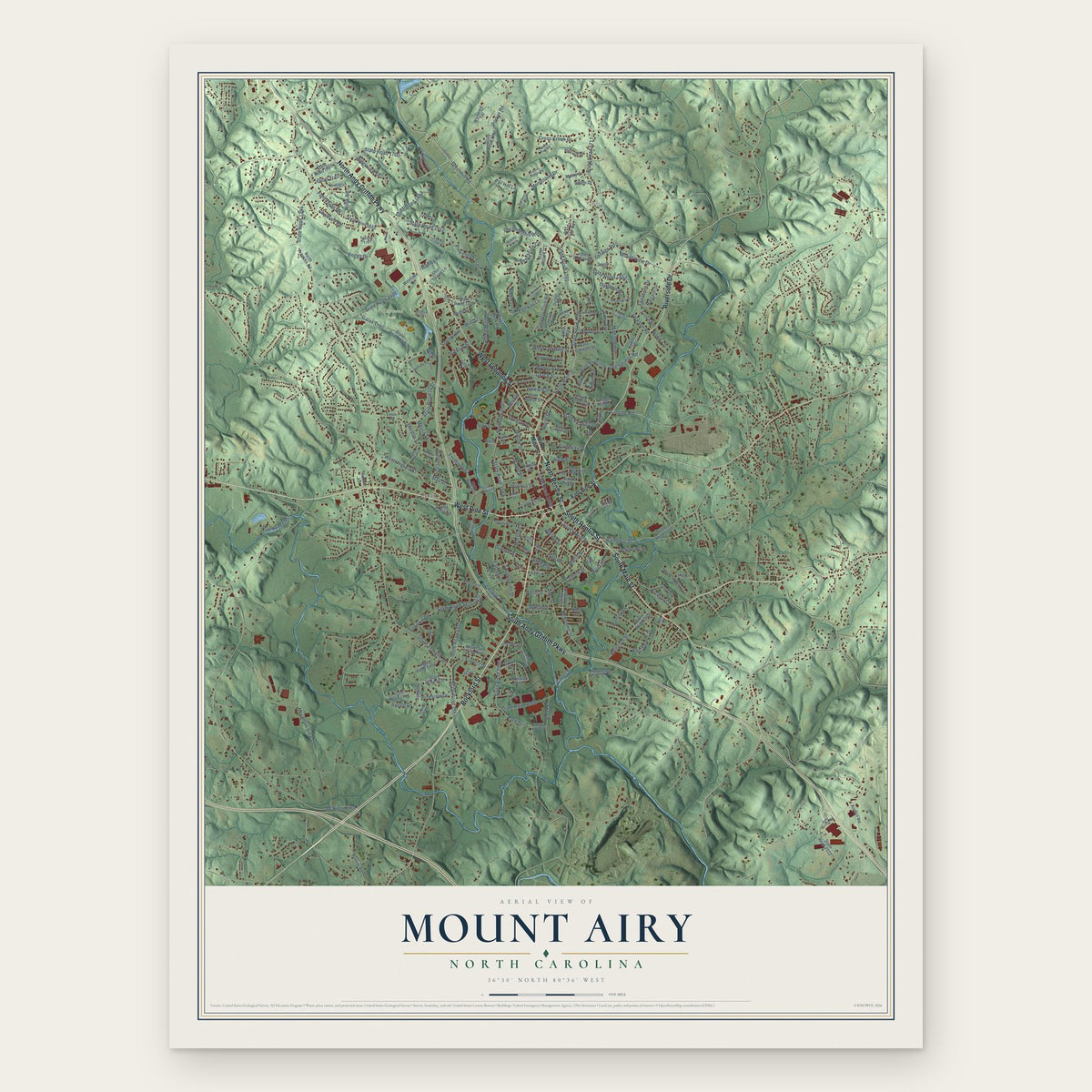
Mount Airy, North Carolina Map Art
Building by building, with labeled streets and shaded relief.
12" x 18" Archival Matte Print
A Map of Home. A Work of Art.
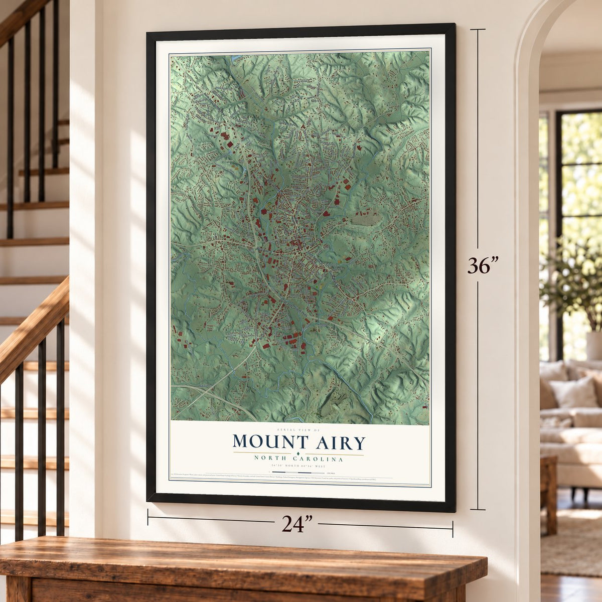
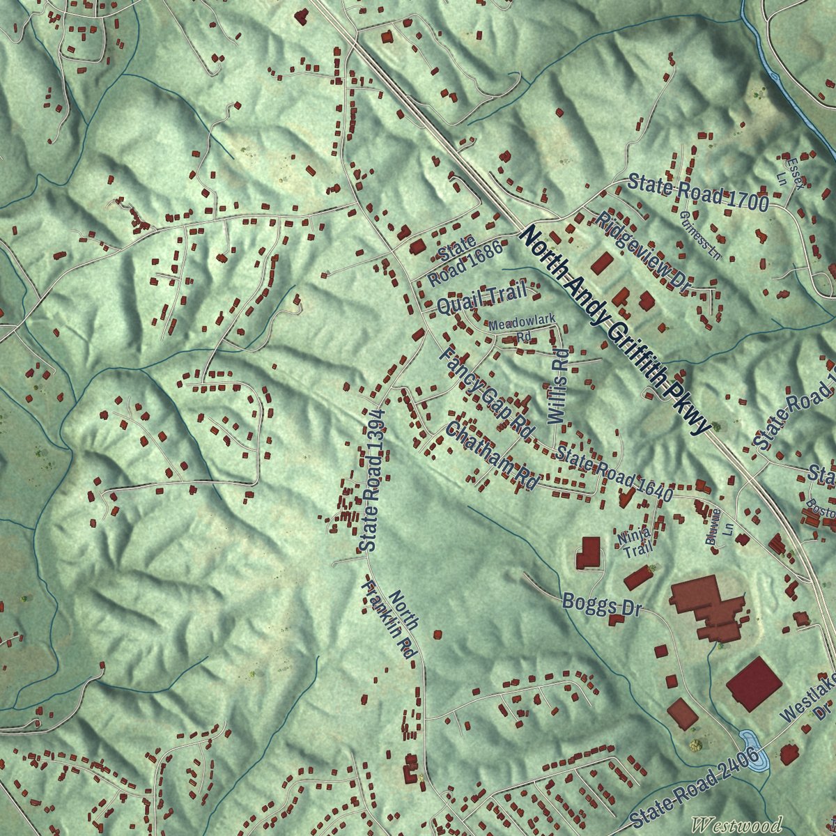
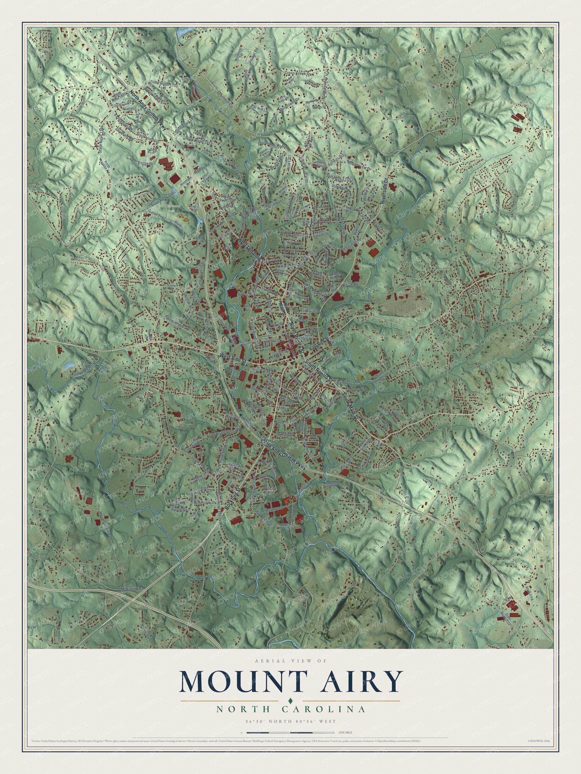
Explore Mount Airy, North Carolina from a whole new perspective. Created using aerial imagery and detailed geographic data, this map captures Mount Airy building by building, with labeled streets, familiar landmarks, and shaded topographical relief that highlights the natural contours of the landscape.
Combining modern data with the timeless character of a vintage atlas, this map is just as interesting up close as it is beautiful on the wall. Whether you grew up in Mount Airy, spent memorable years there, or call it home today, this unique map is a great way to celebrate a place that means something to you. Zoom in on the preview to look for your street, and then order a print to put your memories on the wall.
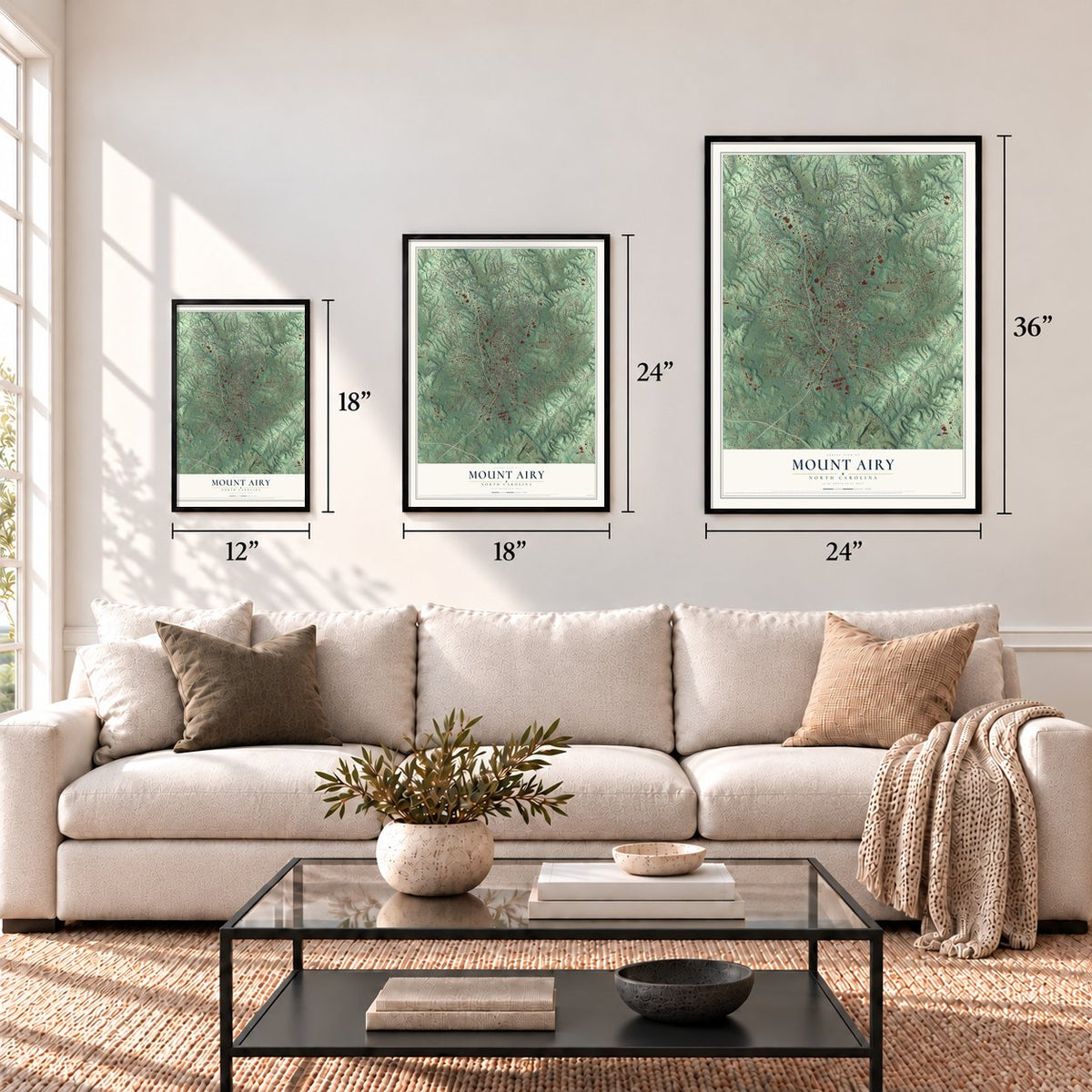
Three ways to hang it
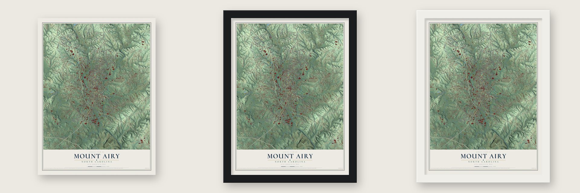
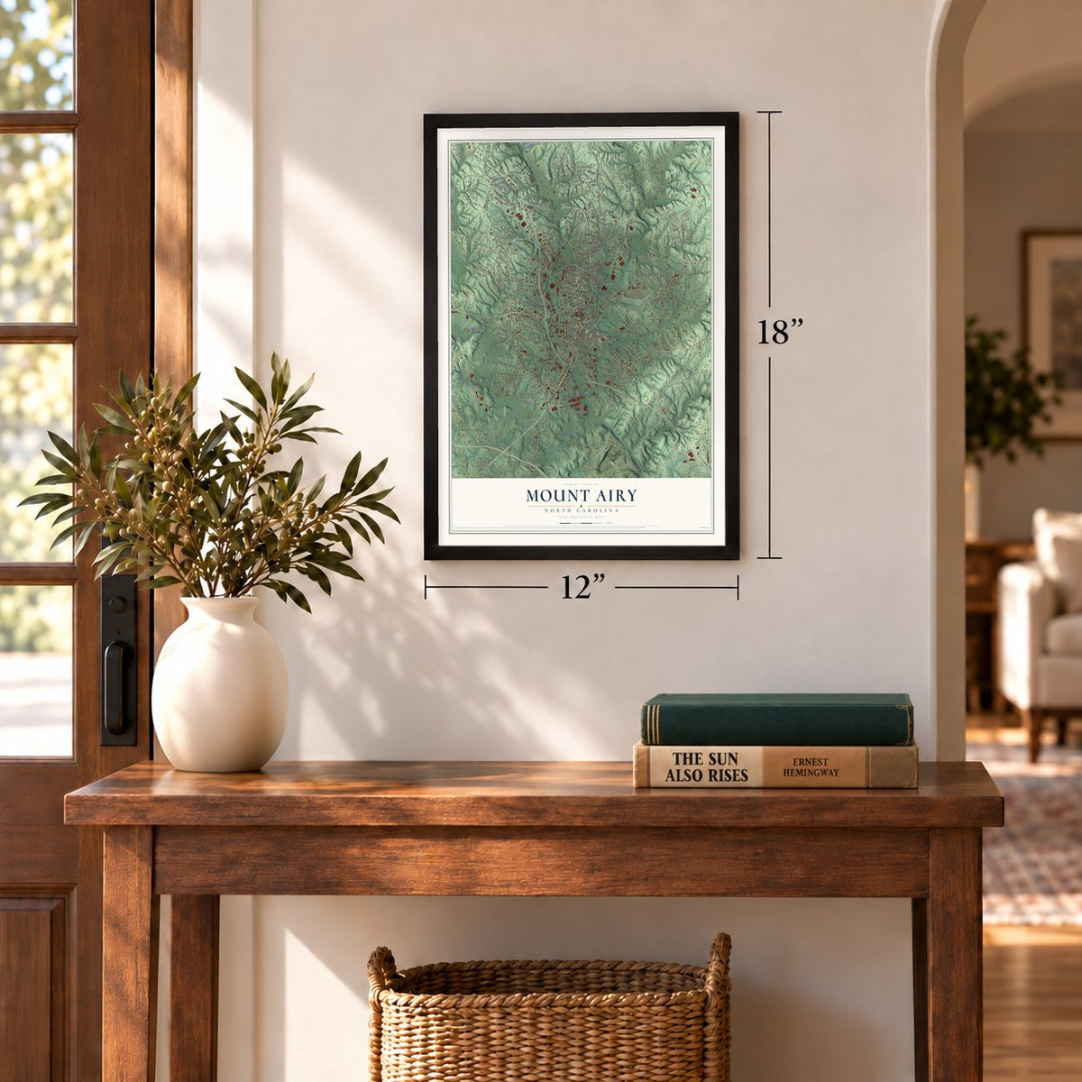
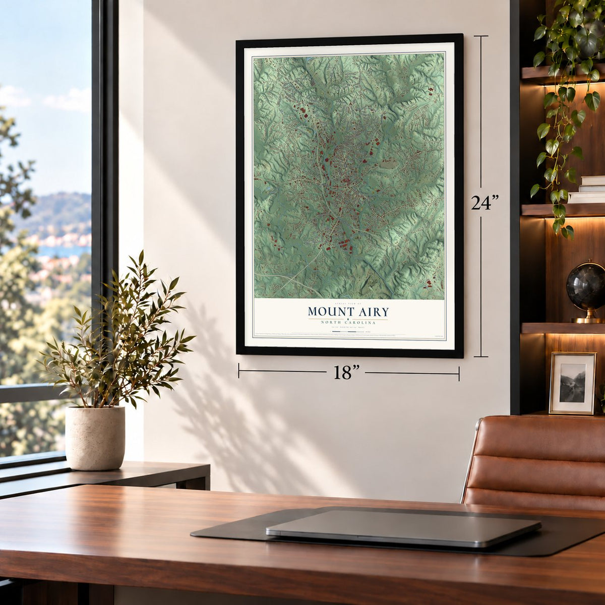
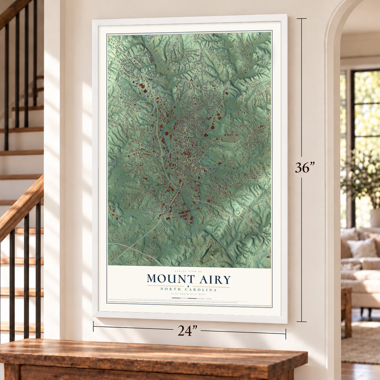
Unframed archival matte, a black wood frame or a white wood frame.
Up close
Geography Worth Displaying
This map was created using accurate cartographic data and authoritative geographic sources, including the U.S. Geological Survey and the Census Bureau. The map brings together terrain, waterways, roads, and building detail. The majority of the streets are labeled, houses are accurately depicted, and the topography is derived from government sources. Combining local data with carefully composed color and shading leads to this beautifully detailed Mount Airy artwork for your wall.
Rather than simply showing street outlines, we’ve included as many of the street names as we could reasonably fit on the map while keeping their names legible. Zoom in on the high resolution preview to see exactly what’s on the map. We truly set out to create a statement piece for anyone who loves Mount Airy. So whether it’s for you, or a gift for someone you love, we hope this map of Mount Airy brings back fond memories.
Read the story behind this map of Mount Airy, North Carolina from 2026.
Find your street
Names on the Mount Airy map
Every name below is printed on this map. Look for your street, your school, the park where you played, or the pond down the road.
Places and landmarks3
- Toast
- Westwood Park
- Salem
Streets and roads230
- Rockford Street
- West Pine Street
- South Main Street
- South Renfro Street
- North Renfro Street
- North Andy Griffith Parkway
- South Andy Griffith Parkway
- Riverside Drive
- West Lebanon Street
- Greenhill Road
- North Main Street
- State Road 1668
- State Road 1700
- State Road 1708
- Newsome Street
- State Road 1394
- State Road 1701
- Mountain View Lane
- State Road 1371
- Forrest Drive
- North South Street
- State Road 1669
- State Road 1717
- Fancy Gap Road
- State Road 1912
- State Road 1637
- Worth Street
- Country Club Road
- State Road 2000
- Cross Creek Drive
Show all 230 streets
- Montclaire Drive
- Carter Street
- Galax Trail
- Pine Creek Trail
- Park Drive
- Springs Road
- Pineview Drive
- Jackson Road
- State Road 1853
- West Virginia Street
- Linville Road
- Willow Street
- South South Street
- Allred Mill Road
- Hamburg Street
- State Road 1365
- Snowhill Drive
- Parker Road
- State Road 1370
- Old Springs Road
- Boggs Drive
- State Road 2406
- Spring Street
- State Road 1366
- Hickory Street
- South Franklin Road
- Arlington Street
- Hay Street
- Grace Street
- Sunset Drive
- East Devon Drive
- Frederick Street
- Pittman Street
- Robin Road
- Beechtree Circle
- Orchard Street
- Marshall Street
- Madison Avenue
- Hadley Road
- Gordon Street
- State Road 1843
- Chatham Road
- Fairway Lane
- Galloway Street
- Oaklawn Road
- Mount View Drive
- Factory Street
- McKinney Road
- Burnley Lane
- Wrenn Avenue
- Woltz Street
- Franklin Street
- West Oakdale Street
- Penn Street
- Elizabeth Drive
- Merita Street
- Maple Street
- Ridgeview Drive
- Gravely Street
- Old Greenhill Road
- State Road 1730
- Hylton Street
- Arch Street
- Durham Street
- North Street
- Howard Street
- Virginia Street
- Apollo Drive
- London Lane
- Bluff Street
- Willis Road
- Creed Street
- Quail Trail
- Starlite Road
- Culbert Street
- Par Hill Lane
- Hale Street
- Boyle Lane
- Aims Avenue
- May Street
- Witt Street
- East Pine Street
- New Street
- State Road 1844
- North Franklin Road
- Wards Gap Road
- State Road 1640
- State Road 1648
- State Road 1446
- State Road 1727
- State Road 1706
- State Road 1759
- State Road 1702
- State Road 1726
- Westlake Drive
- State Road 1863
- Brooklen Avenue
- State Road 1711
- Knollwood Drive
- Austin Drive
- Granite Street
- Old Toast Road
- Elks Drive
- East Oak Street
- Reeves Drive
- Taylor Street
- Mountain View Road
- Circle Drive
- Surry Avenue
- State Road 1393
- Meadow Stone Lane
- Banner Street
- Jones School Road
- Cynthia Drive
- Foxcroft Drive
- State Road 1686
- Price Street
- State Road 1497
- State Road 1437
- Fairview Avenue
- West Poplar Street
- Short Towne Lane
- Wyncrest Terrace
- Mitchell Street
- Inman Circle
- Dyson Place
- Myers Drive
- Fulton Avenue
- Margaret Drive
- State Road 2012
- East Oakdale Street
- Henri Street
- Plantation Place Lane
- Nelson Hill Road
- Bunker Road
- Airport Road
- Rawley Avenue
- Tate Street
- Grove Lane
- Salem Drive
- Kodiak Lane
- Paige Street
- Sydnor Street
- Ruritan Lane
- River Walk Road
- West Street
- Anna Way
- Folly Farms Circle
- Welch Road
- Fowler Road
- State Road 1871
- State Road 1376
- Wastewater Treatment Road
- State Road 2250
- Lovill Street
- Valleydale Drive
- Laurel Creek Drive
- East Lebanon Street
- Square Street
- Camelia Court
- Broad Street
- Burgundy Road
- Laurel Ridge Place
- Woodland Drive
- Jackson Street
- Clubview Drive
- Marion Street
- Lovill Circle
- State Street
- Quail Run Road
- State Road 2006
- Barberry Place
- Angel Street
- Kyle Street
- Depot Street
- Apollo Court
- Ninja Trail
- Lakemont Trail
- East Haymore Street
- State Road 1670
- State Road 1636
- East Independence Boulevard
- Brookberry Road
- Greystone Lane
- East Wilson Street
- Holly Springs Road
- North Pointe Boulevard
- Hunting Hill Drive
- Hadley Street
- Meadowlark Road
- Boston Circle
- Carolina Court
- Guiness Lane
- Monarch Court
- Barbara Avenue
- Tumbling Rock Drive
- Essex Lane
- Andrews Street
- Bluvue Lane
- North Hills Drive
Names are listed as they appear on the printed map. Zoom into the product photos to find them.
About Mount Airy, North Carolina
Mount Airy is a city of 10,676 people in Surry County, on the Ararat River about 3 miles south of the Virginia line. The Cheraw people lived here before English, Scotch-Irish and German families settled the area in the 1750s. After the French and Indian War the settlement grew as a stagecoach stop on the road between Winston-Salem and Galax, Virginia, and it took its name from a plantation nearby.
The town was incorporated in 1885 and grew quickly on two local resources, granite and tobacco. By the early 20th century it had also become a center for textile and furniture mills, though global competition and automation later cut into those trades. When the city adopted its seal in 1977, it chose to show all four: furniture, textiles, tobacco and granite.
“On a raid through western North Carolina Gen. Stoneman's U.S. cavalry passed through Mount Airy, April 2-3, 1865.”
- A record granite quarryThe granite under Mount Airy gave rise to the North Carolina Granite Corporation, whose quarry is the largest open-face granite quarry anywhere in the world. Stone cut here built the Arlington Memorial Bridge, and it also went into the Wright Brothers National Memorial.
- Andy Griffith's hometownAndy Griffith was born in Mount Airy, and many believe it was the model for Mayberry. The town built on that link with Mayberry Days, held the last weekend of September, which drew 30,000 people in 2009 and 90,000 for the show's 50th anniversary in 2010. Emmett Forrest opened the Andy Griffith Museum in 2009, half a mile from the house where Griffith grew up.
- On the radio since 1948Station WPAQ, one of the few still playing bluegrass and old-time music, has broadcast its live Merry-Go-Round show from the Downtown Cinema Theatre since 1948. The fiddler Tommy Jarrell made his home here, and the Round Peak style of old-time music began just west of town. The Mount Airy Fiddlers Convention started in 1972 and gathers each June, on that month's opening weekend, at Veterans Memorial Park.
- Autumn Leaves every OctoberEach October, on the month's second weekend, more than 200,000 people come into the city for the Autumn Leaves Festival. Vendors line the streets selling food and other goods, and musicians play on a festival stage.
Keep exploring North Carolina
Mount Airy is one of 952 North Carolina towns we've mapped. Every dot on the map is a print of its own.
The search covers every state, North Carolina first.
Near Mount Airy
Order 2 or more town maps and save 10%. Shown in the size and finish you picked above, so they hang as a set.
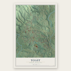
- Toast 12" x 18" / Archival Matte Print $39.99
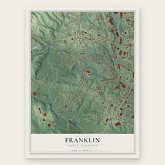
- Franklin 12" x 18" / Archival Matte Print $39.99
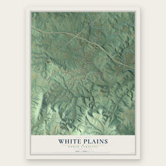
- White Plains 12" x 18" / Archival Matte Print $39.99
More maps nearby: Westfield, Dobson, Pilot Mountain, Copeland and Lowgap.
The art of mapping a place
How This Map Was Made
Real places. Remarkable detail. Discover the layers that turn geographic data into a map of home.

The view from above
Aerial imagery reveals the character of the land: woodland, open fields, and the patterns of a place.

The shape of the land
Elevation data brings hills, valleys, and subtle changes in the landscape into view.

The details of home
Roads, waterways, and building footprints come together to make the map feel unmistakably local.

Geography becomes art
Considered color, shading, and typography bring the layers together in a map made for your wall.


Process illustrated with Mendon, Massachusetts. Aerial imagery: USDA NAIP. Terrain: USGS 3D Elevation Program. Map details and finished artwork: KNOWOL.
The Details
About This Print
Choose an archival matte print, or a black or white Ayous wood frame. The archival matte print is unframed.
Select your size and finish above to see the matching product image and price.
Materials & Craftsmanship
A contemporary map with the character of a classic atlas, printed on archival matte paper. Optional frames are made from Ayous wood.
Your printed map does not include the watermark shown in the full-map preview.
Shipping & Delivery
Free shipping within the United States. Every print is made to order in the USA.
Buying a gift? Add a note in your cart and we'll include it. We never put prices in the package.
Prints ship within 2 to 3 business days. Allow 7 to 10 days total from ordering for delivery. Timing may vary during holidays or periods of high order volume.
Read our shipping policy.
Returns and damaged prints
Each print is made to order. Change-of-mind refunds are not available after production.
If your print arrives damaged, misprinted or incorrect, contact support@knowol.com within 30 days of receiving it. Include your order number, photos and a description of the issue.
Read our full refund and replacement policy. For questions about your order, email support@knowol.com.