
Search for another town





Free U.S. delivery 7 to 10 days after you order
Nacogdoches, Texas Map Art
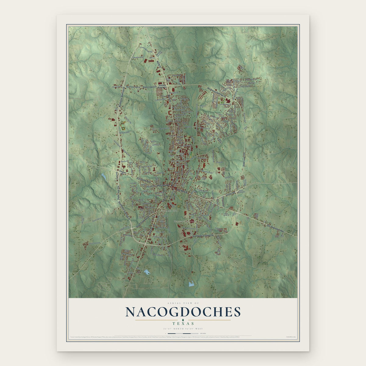
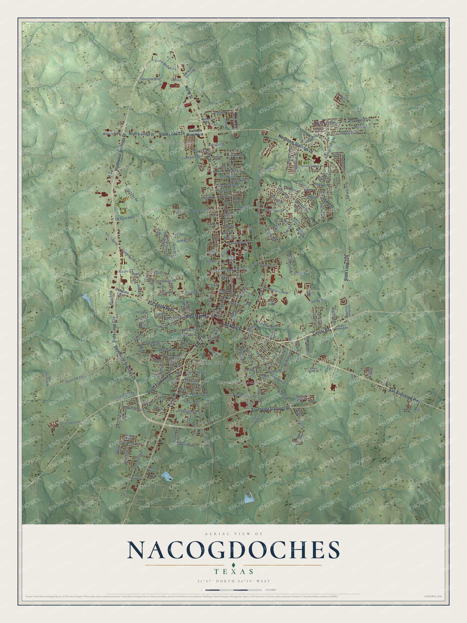
A new map of Nacogdoches, Texas, made in 2026 and printed to order on thick archival matte paper.
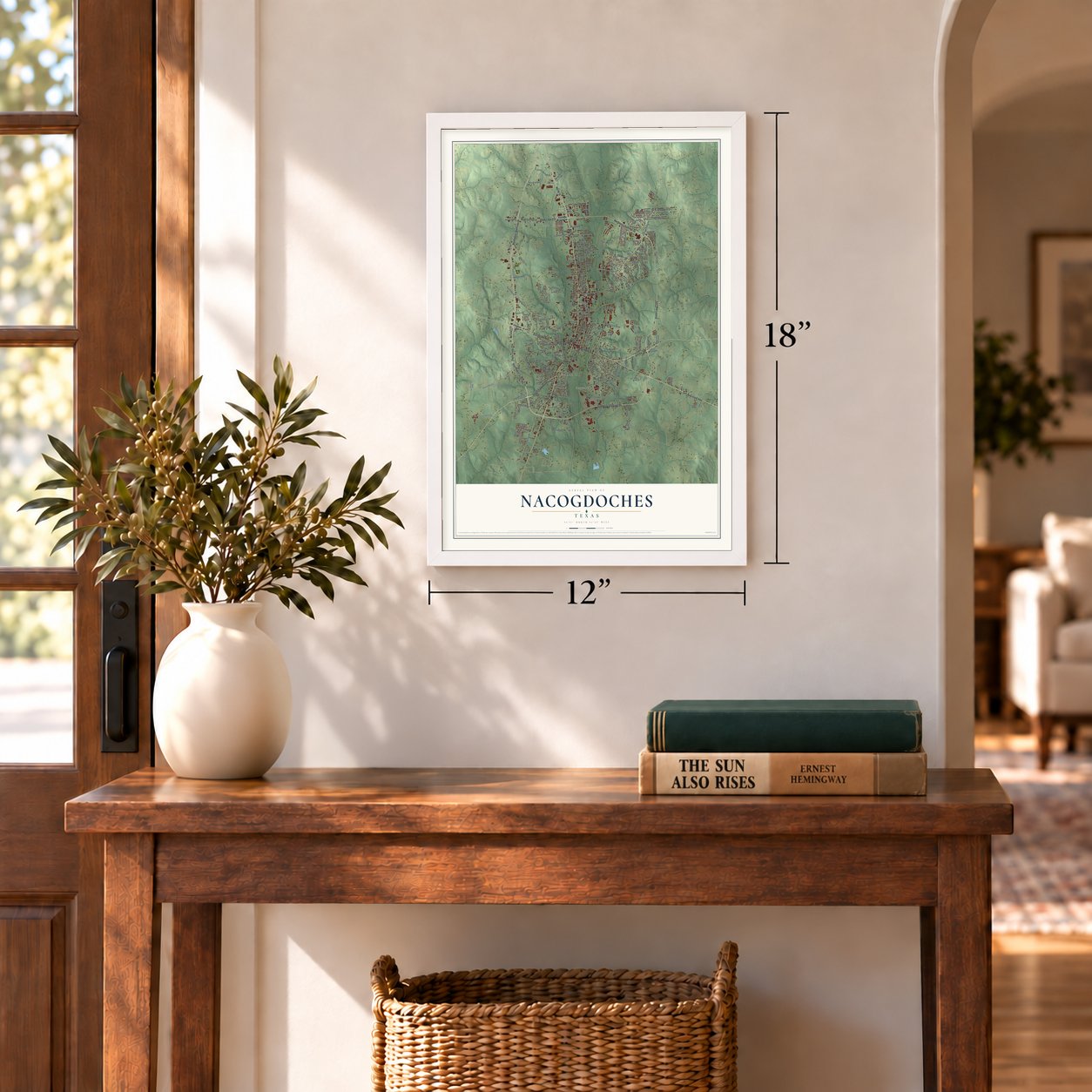
12" x 18" Archival Matte Print
A Map of Home. A Work of Art.
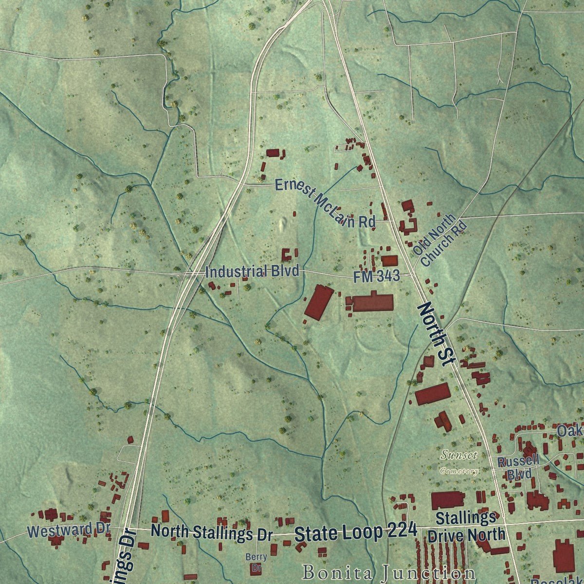
This beautifully detailed map of Nacogdoches, Texas was created in 2026 using aerial imagery combined with modern topographical, census, street and landmark data. It's a modern aerial view of Nacogdoches in Nacogdoches County, Texas, that combines modern data with a vintage aesthetic. Zoom in on the preview and look for your block.
Three ways to hang it
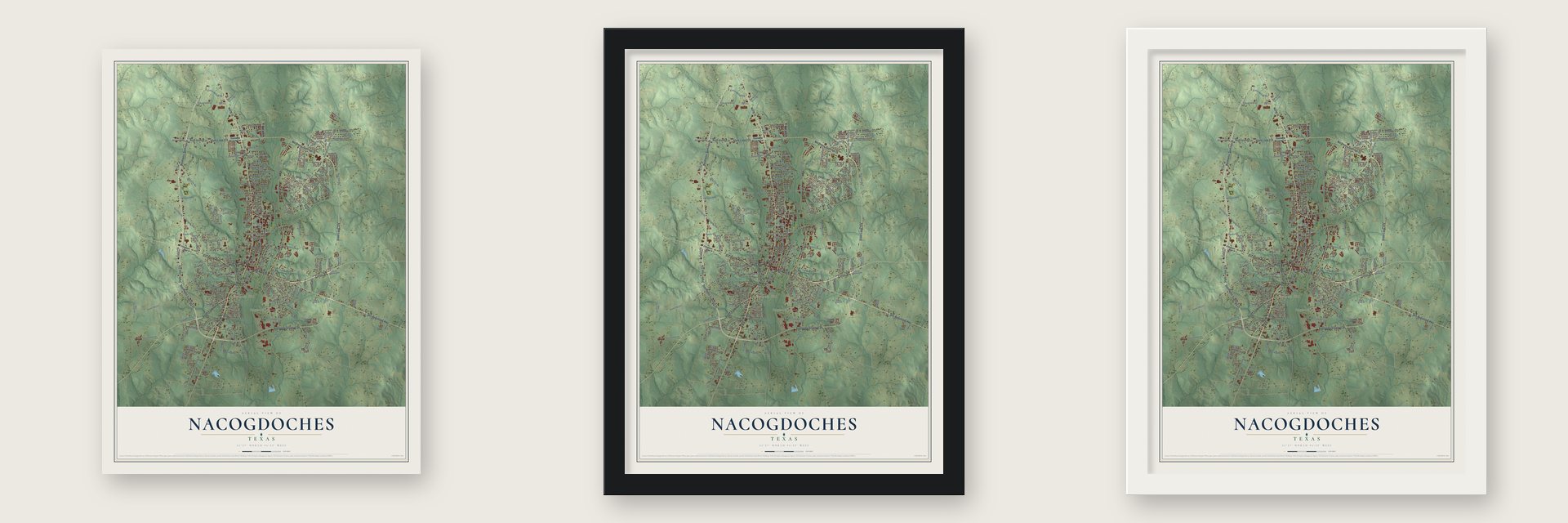
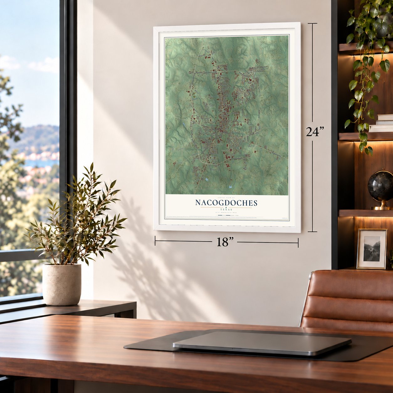
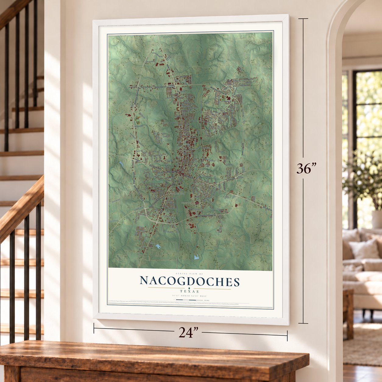
Unframed archival matte, a black wood frame or a white wood frame.
Up close
Real geography. Art worth displaying.
This map was created using accurate cartographic data and authoritative geographic sources, including the U.S. Geological Survey and the Census Bureau. The map brings together terrain, waterways, roads, and building detail. The majority of the streets are labeled, houses are accurately depicted, and the topography is derived from government sources. Combining local data with carefully composed color and shading leads to this beautifully detailed Nacogdoches artwork for your wall.
Rather than simply showing street outlines, we’ve included as many of the street names as we could reasonably fit on the map while keeping their names legible. Zoom in on the high resolution preview to see exactly what’s on the map. We truly set out to create a statement piece for anyone who loves Nacogdoches. So whether it’s for you, or a gift for someone you love, we hope this map of Nacogdoches brings back fond memories.
Read the story behind this map of Nacogdoches, Texas from 2026.

About Nacogdoches, Texas
In East Texas, Nacogdoches serves as the seat of its namesake county. Its history encompasses a Caddo settlement, a Spanish mission, and designation as a Spanish pueblo in 1779. Today, Stephen F. Austin State University and numerous historic buildings remain prominent parts of the community.
- Caddo OriginsThe city occupies or stands near Nevantin, once the principal village of the Caddo-speaking Nacogdoche people.
- Spanish PuebloAntonio Gil Y'Barbo led settlers back in 1779, when Spain designated Nacogdoches as a pueblo.
- Nine FlagsNacogdoches claims nine historical flags, including those associated with the Magee-Gutierrez Republic, Long Republic, and Fredonian Rebellion.
- University CityStephen F. Austin State University is located in Nacogdoches and specializes in forestry and agriculture.
- 2020 PopulationThe 2020 census recorded 32,147 residents in Nacogdoches.
Find your street
Names on the Nacogdoches map
Every name below is printed on this map. Look for your street, your school, the park where you played, or the pond down the road.
Places and landmarks6
- Bonita Junction
- Fredonia Hill
- Hayward Junction
- Orton Hill
- Sunset Cemetery
- Pioneer Park
Streets and roads263
- East Main Street
- Southwest Stallings Drive
- South Street
- Center Road
- South Fredonia Street
- El Camino Real
- West Main Street
- Southeast Stallings Drive
- San Augustine Highway
- State Loop 224
- Northwest Stallings Drive
- North Street
- Northeast Stallings Drive
- First Street
- Railroad Street
- Rayburn Drive
- Martha Street
- Press Road
- Westward Drive
- West Seale Street
- Vista Drive
- Shawnee Street
- Industrial Boulevard
- John Street
- Appleby Sand Road
- East Starr Avenue
- Ridgebrook Drive
- FM 2609
- North University Drive
- North FM 1275
Show all 263 streets
- Old Tyler Road
- Pearl Street
- FM 1275
- FM 1878
- Raguet Street
- Park Street
- FM 2259
- South FM 225
- Old Lufkin Road
- Durst Street
- West Austin Street
- East Austin Street
- Colonial Drive
- Virginia Avenue
- FM 225
- Woden Road
- Tom Maroney Drive
- Powers Street
- North Pecan Street
- Tanglewood Circle
- North Mound Street
- FM 343
- Post Oak Road
- Harris Street
- Ritchie Street
- Gasaway Road
- Tower Road
- West Cox Street
- FM 1411
- Looneyville Road
- Martinsville Street
- Old Post Oak Road
- Oakview Drive
- East College Street
- Waterford Drive
- Mockingbird Lane
- Mystic Lane
- Orton Street
- Bennett Clark Road
- North Fredonia Street
- Ridgewood Drive
- Ernest McLain Road
- FM Road 2609
- Crisp Road
- Belle Pointe Drive
- Wells Street
- Hunter Street
- East Parker Road
- Lenwood Drive
- Dolph Street
- Banita Street
- Cardinal Street
- East Lane Drive
- Lock Street
- Burk Street
- Creekbend Boulevard
- Sandy Lane
- Kenbrook Drive
- Hayter Street
- Perry Drive
- Oak Creek Drive
- Logansport Street
- Wilson Drive
- Sweetgum Street
- Victoria Drive
- Clarice Street
- Bostwick Street
- Red Oak Drive
- Willow Oak Street
- King Street
- Old Spanish Road
- Tudor Drive
- FM 2863
- Lake Street
- East Oak Lane
- Pinecrest Drive
- Muckleroy Street
- Skyline Drive
- Lampkin Street
- Rho Street
- Crestwood Street
- Jeffries Street
- Roselake Drive
- Wildwood Drive
- Cotton Street
- Stewart Street
- Sarah Anne Street
- Hayward Street
- Northway Drive
- Cleaver Street
- Shelton Drive
- Jordan Street
- Sheffield Drive
- Zeno Street
- Hasley Street
- Lilly Street
- Rusk Street
- Davis Street
- Lloyd Street
- Klein Street
- Reedy Street
- Sandia Street
- Lewis Street
- Terry Street
- Douglass Road
- North Stallings Drive
- Stallings Drive North
- Old North Church Road
- Maroney Drive
- Russell Boulevard
- North Sanders Street
- Chimney Rock Lane
- Summer Hill Circle
- Griffith Boulevard
- Northwood Circle
- Millard Drive
- John Richardson Road
- Lake Forest Drive
- Dogwood Street
- Laurel Lane
- Old Shady Grove Road
- Warren Drive
- Spokane Street
- Humphrey Road
- Terry Crawford Drive
- Ej Campbell Boulevard
- Kings Row Drive
- North Lanana Street
- Western Oak Street
- Stadium Drive
- Dois Christian Road
- Esther Boulevard
- Bailey Avenue
- Pruitt Hill Drive
- Bluff Oak Street
- Sand Ridge Road
- Walnut Drive
- Burrows Street
- Lady Elaine Drive
- Brookhollow Drive
- Liles Boulevard
- Live Oak Drive
- Glen Hollow Drive
- Upper Melrose Road
- Apple Boulevard
- Canyon Street
- Sunset Avenue
- Elm Street
- Garner Street
- Markham Street
- Norma Street
- Ellington Street
- Scarlet Oak Street
- Quail Ridge Drive
- Cecil Jones Street
- Joyce Avenue
- Marilyn Street
- Karle Street
- Pat Street
- Redwood Drive
- Sharon Street
- Ashbury Lane
- FM 507
- Boney Street
- Lee Lane
- Home Avenue
- Mark Street
- Pitman Street
- Bowie Street
- Alders Street
- Tara Lane
- Pettit Street
- Egret Drive
- Hope Lane
- Lynn Street
- Park Place
- Eric Drive
- FM 314
- Lake Park Street
- Logan Circle
- Texas Street
- South Rayburn Drive
- Broadmoor Boulevard
- South Church Street
- Baxter Lane
- Medowview Drive
- Briargrove Drive
- Old Line Drive
- East Lakewood Street
- West Lakewood Street
- Colony Creek Drive
- Warr Circle
- Mackechney Street
- George Street
- Third Street
- Swann Drive
- Lady Diane Drive
- West Spradley Street
- Plaza Drive
- Wade Street
- Linda Lane
- Princess Lane
- Queens Row
- Patti Ann Street
- Shirley Street
- Guy Street
- South University Drive
- Martin Luther King Junior Boulevard
- Bremond Street
- Clark Boulevard
- New Press Road
- Spring Valley Drive
- Carole Street
- Chevy Chase Drive
- Cooper Street
- Terracewood Drive
- Cariker Street
- Beverly Drive
- West Starr Avenue
- Kourtney Lane
- Highway 1878
- Ferndale Street
- Carolyn Street
- Michael Street
- Dorr Creek Street
- Paluxy Street
- Lydia Street
- Justice Road
- Mary's Drive
- Wright Drive
- Forest Lane
- Curl Street
- Berry Drive
Names are listed as they appear on the printed map. Zoom into the product photos to find them.
The art of mapping a place
How This Map Was Made
Real places. Remarkable detail. Discover the layers that turn geographic data into a map of home.

The view from above
Aerial imagery reveals the character of the land: woodland, open fields, and the patterns of a place.

The shape of the land
Elevation data brings hills, valleys, and subtle changes in the landscape into view.

The details of home
Roads, waterways, and building footprints come together to make the map feel unmistakably local.

Geography becomes art
Considered color, shading, and typography bring the layers together in a map made for your wall.


Process illustrated with Mendon, Massachusetts. Aerial imagery: USDA NAIP. Terrain: USGS 3D Elevation Program. Map details and finished artwork: KNOWOL.
The Details
About This Print
Choose an archival matte print, or a black or white Ayous wood frame. The archival matte print is unframed.
Select your size and finish above to see the matching product image and price.
Materials & Craftsmanship
A contemporary map with the character of a classic atlas, printed on archival matte paper. Optional frames are made from Ayous wood.
Your printed map does not include the watermark shown in the full-map preview.
Shipping & Delivery
Free shipping within the United States. Every print is made to order in the USA.
Buying a gift? Add a note in your cart and we'll include it. We never put prices in the package.
Prints ship within 2 to 3 business days. Allow 7 to 10 days total from ordering for delivery. Timing may vary during holidays or periods of high order volume.
Read our shipping policy.
Returns and damaged prints
Each print is made to order. Change-of-mind refunds are not available after production.
If your print arrives damaged, misprinted or incorrect, contact support@knowol.com within 30 days of receiving it. Include your order number, photos and a description of the issue.
Read our full refund and replacement policy. For questions about your order, email support@knowol.com.
Find your town
Looking for another city?
Find a map of home in our Texas collection.
Nearby
Maps of towns near Nacogdoches
Know someone from one of these towns? Their map makes a great gift.
 Redfield
, Texas
From $39.99See the map
 Appleby
, Texas
From $39.99See the map
 Redland
, Texas
From $39.99See the map
More maps nearby: Garrison, Cushing, Wells, Chireno and Lufkin.