
Search for another town




Free U.S. delivery 7 to 10 days after you order
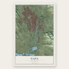
Napa, California Map Art
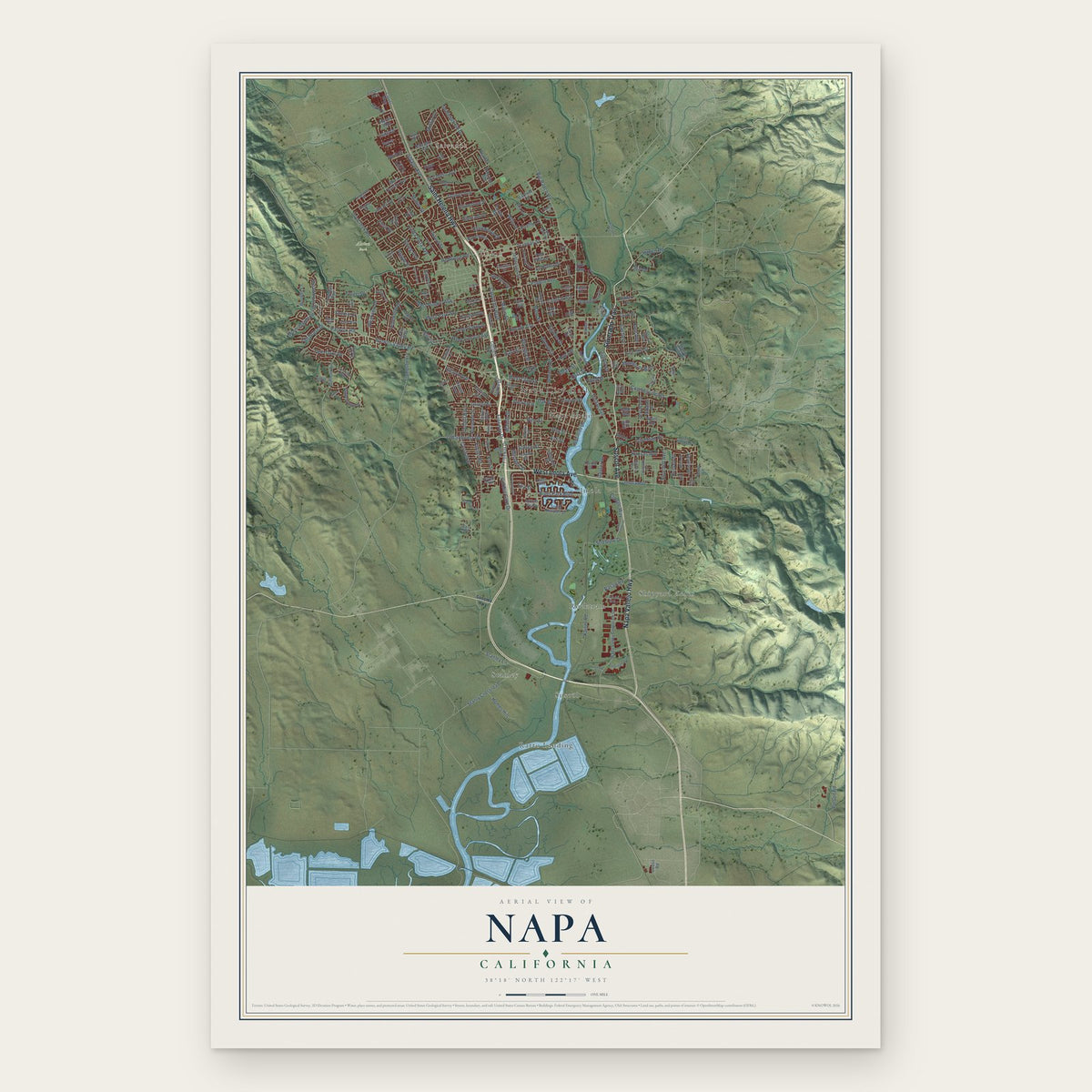
A new map of Napa, California, made in 2026 and printed to order on thick archival matte paper.
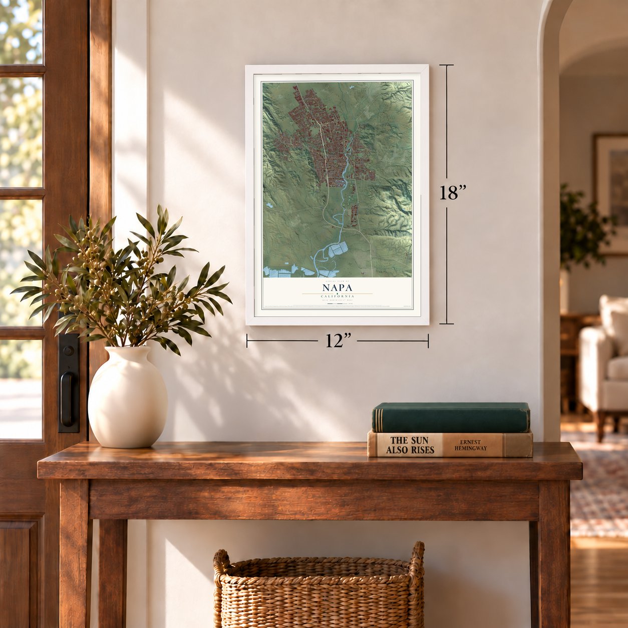
12" x 18" Archival Matte Print
A Map of Home. A Work of Art.
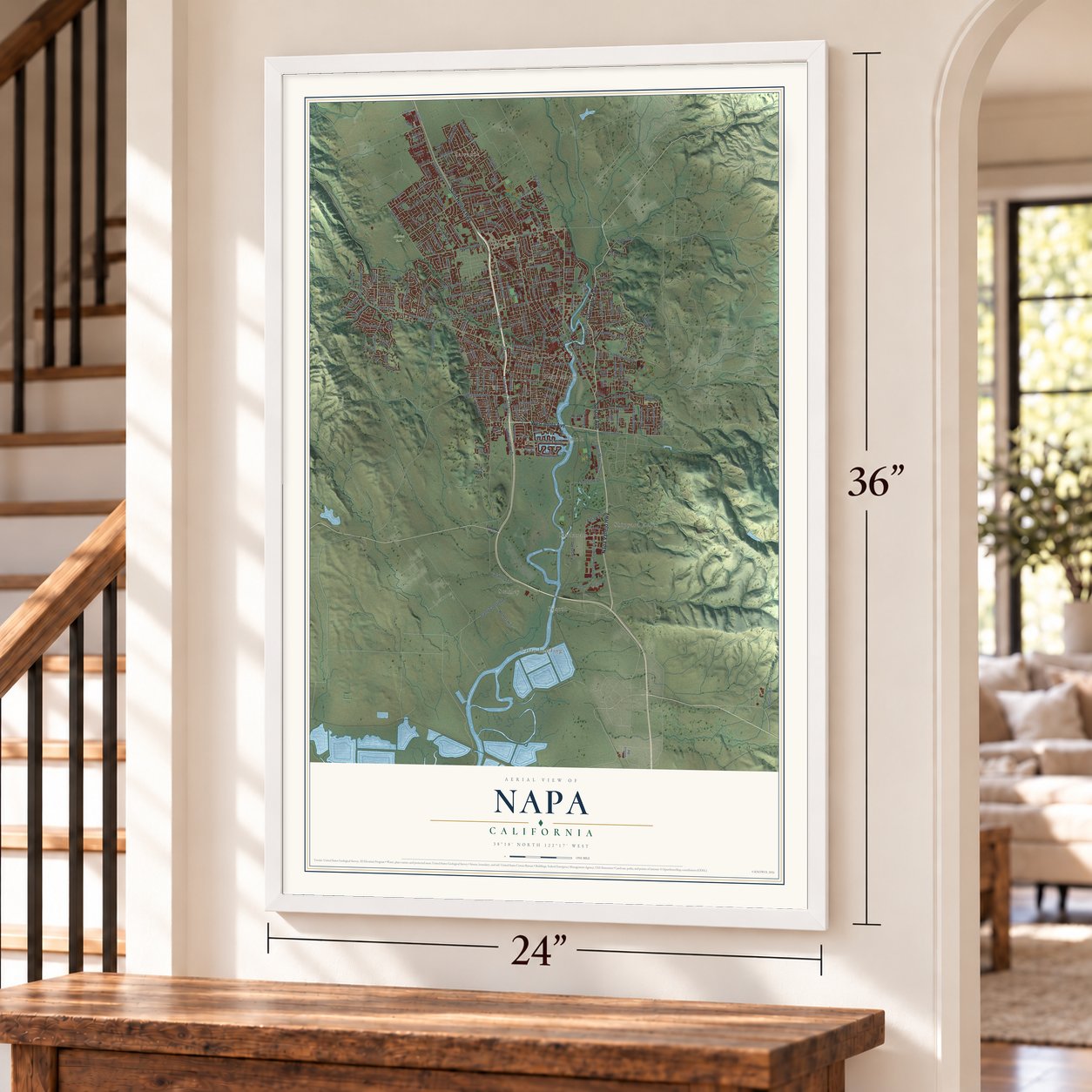
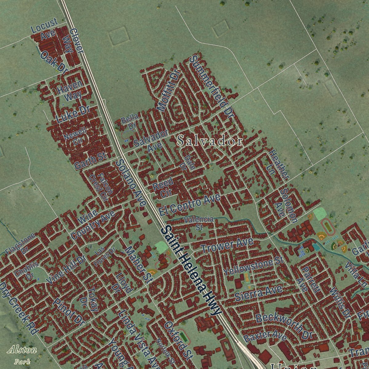
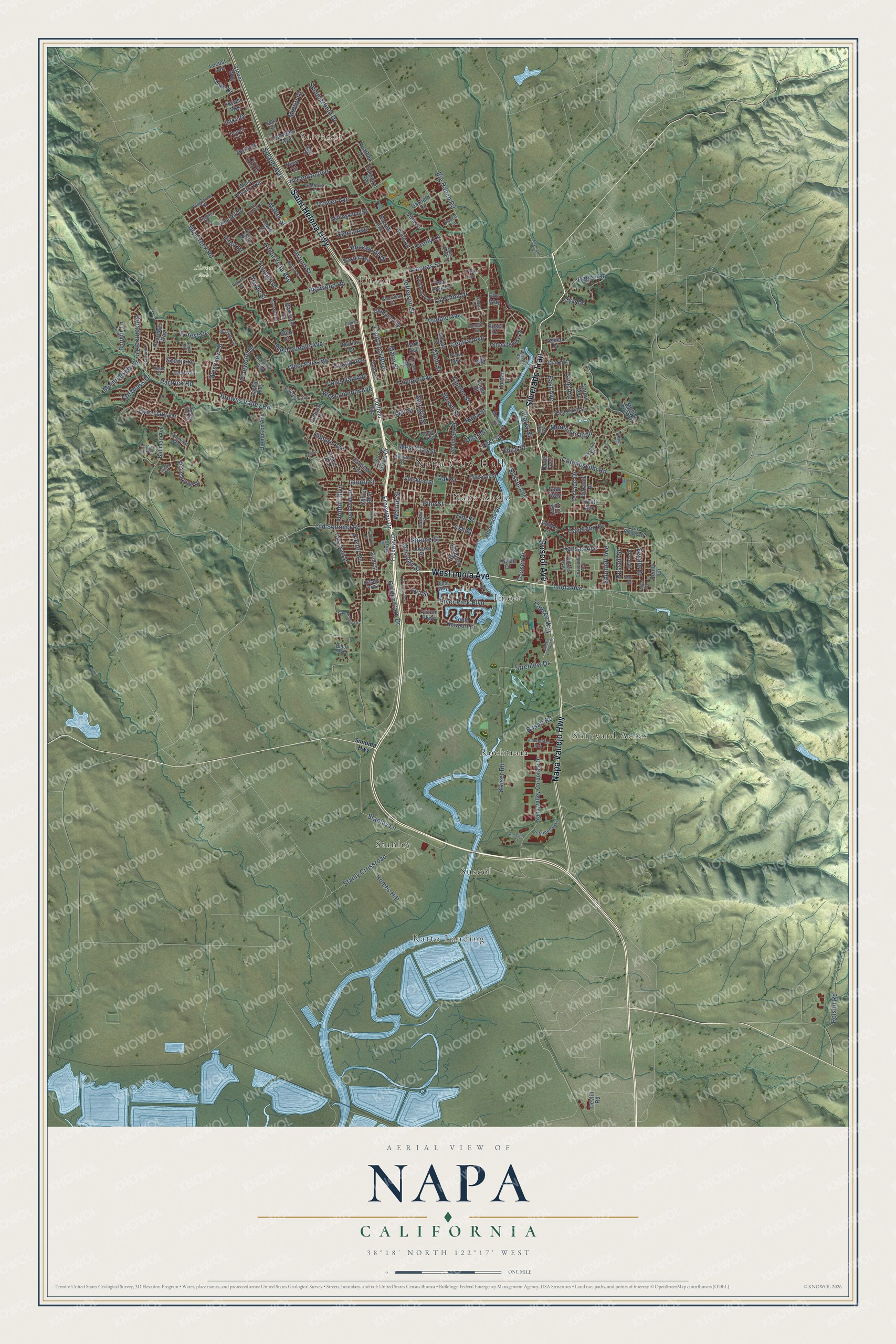
Explore Napa, California from a whole new perspective. Created using aerial imagery and detailed geographic data, this map captures Napa building by building, with labeled streets, familiar landmarks, and shaded topographical relief that highlights the natural contours of the landscape.
Combining modern data with the timeless character of a vintage atlas, this map is just as interesting up close as it is beautiful on the wall. Whether you grew up in Napa, spent memorable years there, or call it home today, this unique map is a great way to celebrate a place that means something to you. Zoom in on the preview to look for your street, and then order a print to put your memories on the wall.
Three ways to hang it
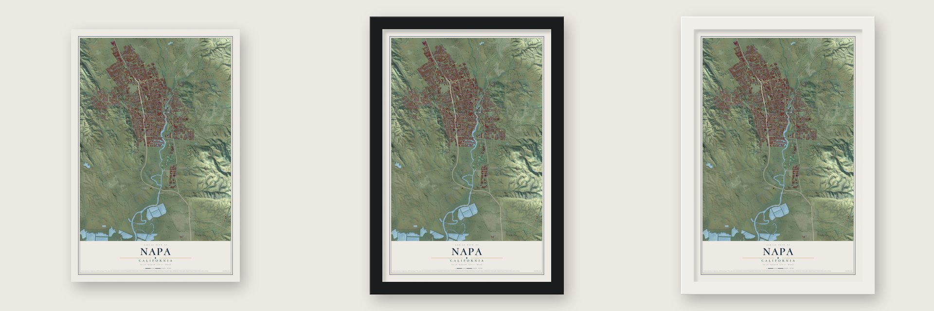
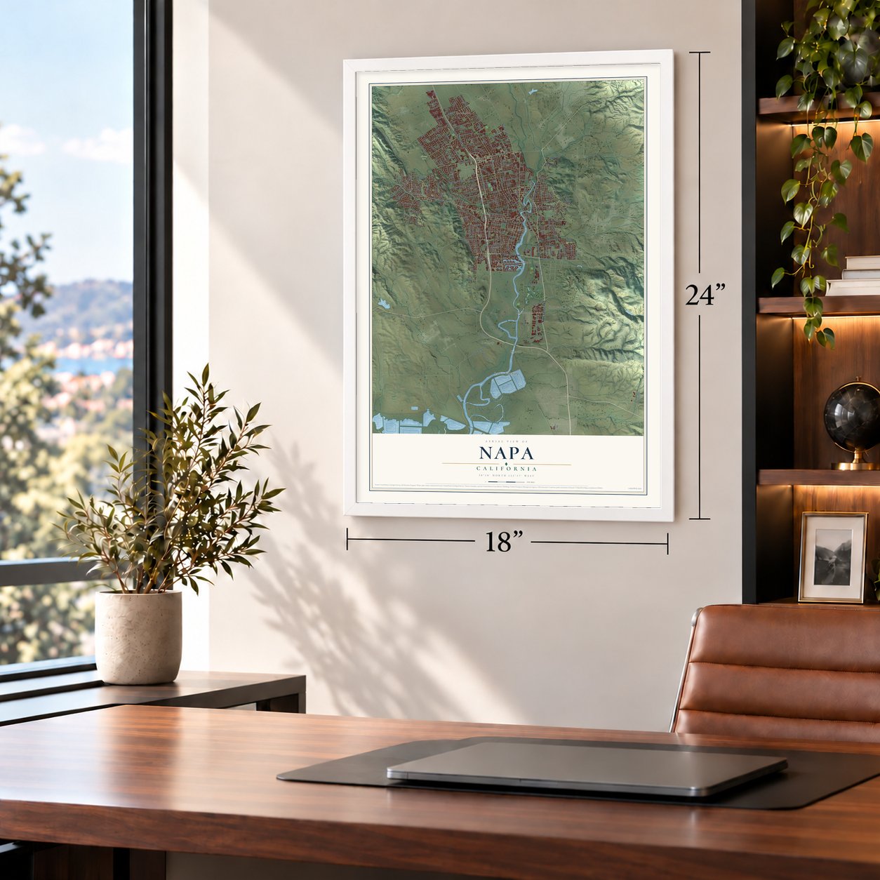
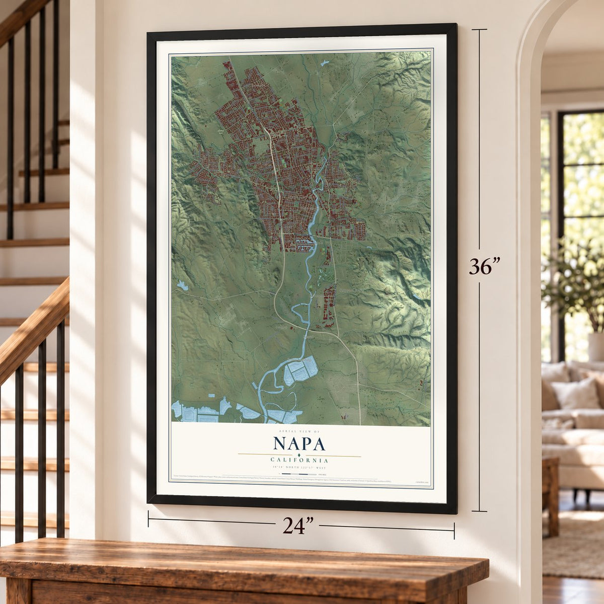
Unframed archival matte, a black wood frame or a white wood frame.
Up close
Geography Worth Displaying
This map was created using accurate cartographic data and authoritative geographic sources, including the U.S. Geological Survey and the Census Bureau. The map brings together terrain, waterways, roads, and building detail. The majority of the streets are labeled, houses are accurately depicted, and the topography is derived from government sources. Combining local data with carefully composed color and shading leads to this beautifully detailed Napa artwork for your wall.
Rather than simply showing street outlines, we’ve included as many of the street names as we could reasonably fit on the map while keeping their names legible. Zoom in on the high resolution preview to see exactly what’s on the map. We truly set out to create a statement piece for anyone who loves Napa. So whether it’s for you, or a gift for someone you love, we hope this map of Napa brings back fond memories.
Read the story behind this map of Napa, California from 2026.
About Napa, California
Napa is a city of 79,246 people and the county seat of Napa County, on the Napa River. Nathan Coombs founded it in 1847 on land he got from Nicolas Higuera, who held the Mexican grant called Rancho Entre Napa. General Mariano Guadalupe Vallejo had paid for a survey of a town farther down the river at Soscol Landing, where riverboats could turn around. The town site was laid out on the Coombs land instead.
The river carried the young town's trade. The Susana is the first ship known to have sailed it, in 1842, and in 1850 the Dolphin became the first steamer to carry passengers up to Napa. By the mid-1850s an ordinary afternoon might see 100 saddle horses tied along Main Street, while sawmills sent timber by river to Benicia and San Francisco. Napa was incorporated on March 23, 1872, and became the City of Napa in 1874.
“The pioneer winemaker of this world-famous region, Krug made the first commercial wine in Napa County at Napa in 1858.”
- Napa leather, 1875F. A. Sawyer opened the Sawyer Tanning Company in Napa in 1869, and his father, B. F. Sawyer, joined him a year later. It grew into the largest tannery west of the Mississippi River. In 1875 Emanuel Manasse, who worked there, invented the soft leather that the world still calls Napa leather.
- The loudspeaker, 1915Edwin Pridham and Peter L. Jensen were trying to build a better telephone receiver in their workshop in Napa. In 1915 they came up with the moving-coil loudspeaker instead. Two years later, in 1917, the pair founded the Magnavox Company.
- Pinafore opens the Opera HouseThe Napa Opera House opened on February 13, 1880, with Gilbert and Sullivan's HMS Pinafore, and it drew big crowds. Its popularity later faded, and the hall stood closed for many years. It joined the National Register in 1973 and came back to life in the 1980s.
- A Chinese settlementWorkers from coastal villages in China's Canton province came to the county's quicksilver mines in the 1860s. They built their own settlement in Napa early in that decade. From the 1880s to the early 1900s it was home to more than 300 people.
Find your street
Names on the Napa map
Every name below is printed on this map. Look for your street, your school, the park where you played, or the pond down the road.
Places and landmarks11
- Napa City Hall
- Salvador
- Alston Park
- Imola
- Napa Abajo
- Ratto Landing
- Rocktram
- Shipyard Acres
- Stanley
- Suscol
- Union
Streets and roads228
- West Imola Avenue
- Soscol Avenue
- Silverado Trail
- Saint Helena Highway
- Napa Vallejo Highway
- Imola Avenue
- Old Sonoma Road
- First Street
- California Boulevard
- Browns Valley Road
- Freeway Drive
- College Way
- Firefly Lane
- Jefferson Street
- Solano Avenue
- Linda Vista Avenue
- Laurel Street
- Main Street
- Trower Avenue
- Redwood Road
- Kaiser Road
- Brown Street
- Stanley Lane
- Montecito Boulevard
- Lincoln Avenue
- Pine Street
- Third Street
- Trancas Street
- West Pueblo Avenue
- Pueblo Avenue
Show all 228 streets
- Elm Street
- Twin Oaks Drive
- Yajome Street
- Foster Road
- Coombsville Road
- East Avenue
- Partrick Road
- Oak Street
- Dry Creek Road
- Big Ranch Road
- Scenic Drive
- Shurtleff Avenue
- Streblow Drive
- Central Avenue
- Stanly Crossroad
- West Park Avenue
- Kilburn Avenue
- El Centro Avenue
- Golden Gate Drive
- Kansas Avenue
- Lone Oak Avenue
- Sierra Avenue
- Westview Drive
- West Clay Street
- Broadmoor Drive
- Marin Street
- Seville Drive
- Cayetano Drive
- Oxford Street
- Basalt Road
- Beckworth Drive
- Young Avenue
- Terrace Drive
- West Lincoln Avenue
- River Park Boulevard
- Spruce Street
- Maher Street
- La Homa Drive
- Summerfield Drive
- Homes Hill
- Georgia Street
- Pinewood Drive
- Walnut Street
- East Street
- Hagen Road
- Morningside Drive
- Tall Grass Drive
- Moffitt Drive
- Euclid Avenue
- Foothill Boulevard
- Ash Street
- Juarez Street
- Eva Street
- Luke Drive
- Polson Road
- King Avenue
- Pinot Drive
- Minahen Street
- Pearl Street
- Napa Street
- Gasser Drive
- Oak Drive
- Russell Street
- Forest Drive
- Argyle Street
- South Freeway Drive
- Pear Tree Lane
- Reed Circle
- Napa Valley Corporate Drive
- Seminary Street
- Wine Country Avenue
- Salvador Avenue
- Buhman Avenue
- Villa Lane
- Adrian Street
- Monte Vista Drive
- Stonehouse Drive
- Baywood Lane
- Riverside Drive
- Hemlock Street
- Casswall Street
- Park Avenue
- Willis Drive
- Stonebridge Drive
- Vine Hill Drive
- Thompson Avenue
- Baxter Avenue
- Roosevelt Street
- South Newport Drive
- Ashlar Drive
- Yellowstone Street
- Garfield Lane
- Tokay Drive
- Dewitt Avenue
- Stadium Avenue
- Factory Stores Drive
- Stockton Street
- Harrison Avenue
- East First Street
- Clover Way
- Borrette Lane
- Coffield Avenue
- Clark Street
- Locust Street
- Larkin Way
- Wyatt Avenue
- Morlan Drive
- Birkdale Drive
- Division Street
- Lloyd Drive
- Sage Way
- Garth Street
- Sproul Avenue
- Locust Avenue
- Parrett Avenue
- Foxridge Way
- Jordan Lane
- Haven Way
- Solomon Avenue
- Collier Boulevard
- Atrium Parkway
- Heather Lane
- Devlin Road
- Tanen Street
- Hartle Court
- Penny Lane
- Hudson Lane
- Kent Street
- Syar Drive
- Davis Avenue
- Costa Drive
- Adobe Lane
- Glen Court
- Elks Way
- Erin Way
- Paul Avenue
- Ida Street
- Sonoma Highway
- Newell Circle
- Second Street
- Falcon Crest Circle
- Trefethen Way
- Village Parkway
- Brittany Circle
- Wilkins Avenue
- Crestview Way
- McKinstry Street
- Piedmont Avenue
- Valle Verde Drive
- Round Hill Circle
- Coronado Avenue
- Kingston Avenue
- Los Robles Drive
- Valencia Street
- Chablis Drive
- Pascale Place
- Sheridan Drive
- Dale Drive
- Hilton Avenue
- Ellen Way
- Cabot Way
- Flagstone Drive
- Maria Drive
- Hartson Street
- Butte Street
- Jenkins Avenue
- Joseph Court
- Ranch Lane
- Cedar Avenue
- Kerns Court
- Bella Drive
- Greenbach Street
- James Diemer Drive
- Patton Avenue
- Marina Drive
- Canterbury Drive
- Evans Avenue
- Norfolk Street
- Kennedy Way
- Patricia Drive
- Harvard Lane
- Ridgetop Way
- Enterprise Way
- Las Flores Drive
- Leaning Oak Drive
- Mac Leod Street
- Hickory Street
- Muir Street
- Underhill Drive
- Delpha Drive
- Anselmo Court
- El Nido Drive
- Trotter Lane
- Laurel Lane
- Regal Drive
- Swiss Court
- Pike Drive
- Pear Tree
Names are listed as they appear on the printed map. Zoom into the product photos to find them.
The art of mapping a place
How This Map Was Made
Real places. Remarkable detail. Discover the layers that turn geographic data into a map of home.

The view from above
Aerial imagery reveals the character of the land: woodland, open fields, and the patterns of a place.

The shape of the land
Elevation data brings hills, valleys, and subtle changes in the landscape into view.

The details of home
Roads, waterways, and building footprints come together to make the map feel unmistakably local.

Geography becomes art
Considered color, shading, and typography bring the layers together in a map made for your wall.


Process illustrated with Mendon, Massachusetts. Aerial imagery: USDA NAIP. Terrain: USGS 3D Elevation Program. Map details and finished artwork: KNOWOL.
The Details
About This Print
Choose an archival matte print, or a black or white Ayous wood frame. The archival matte print is unframed.
Select your size and finish above to see the matching product image and price.
Materials & Craftsmanship
A contemporary map with the character of a classic atlas, printed on archival matte paper. Optional frames are made from Ayous wood.
Your printed map does not include the watermark shown in the full-map preview.
Shipping & Delivery
Free shipping within the United States. Every print is made to order in the USA.
Buying a gift? Add a note in your cart and we'll include it. We never put prices in the package.
Prints ship within 2 to 3 business days. Allow 7 to 10 days total from ordering for delivery. Timing may vary during holidays or periods of high order volume.
Read our shipping policy.
Returns and damaged prints
Each print is made to order. Change-of-mind refunds are not available after production.
If your print arrives damaged, misprinted or incorrect, contact support@knowol.com within 30 days of receiving it. Include your order number, photos and a description of the issue.
Read our full refund and replacement policy. For questions about your order, email support@knowol.com.
Find your town
Looking for another city?
Find a map of home in our California collection, or any town in the country.
Nearby
Maps of towns near Napa
Know someone from one of these towns? Their map makes a great gift.
 Silverado Resort
, California
From $39.99See the map
 Yountville
, California
From $39.99See the map
 Green Valley
, Solano County, California
From $39.99See the map
More maps nearby: American Canyon, Sonoma, Boyes Hot Springs, Fetters Hot Springs-Agua Caliente and El Verano.