
Search for another town

Free U.S. delivery 7 to 10 days after you order
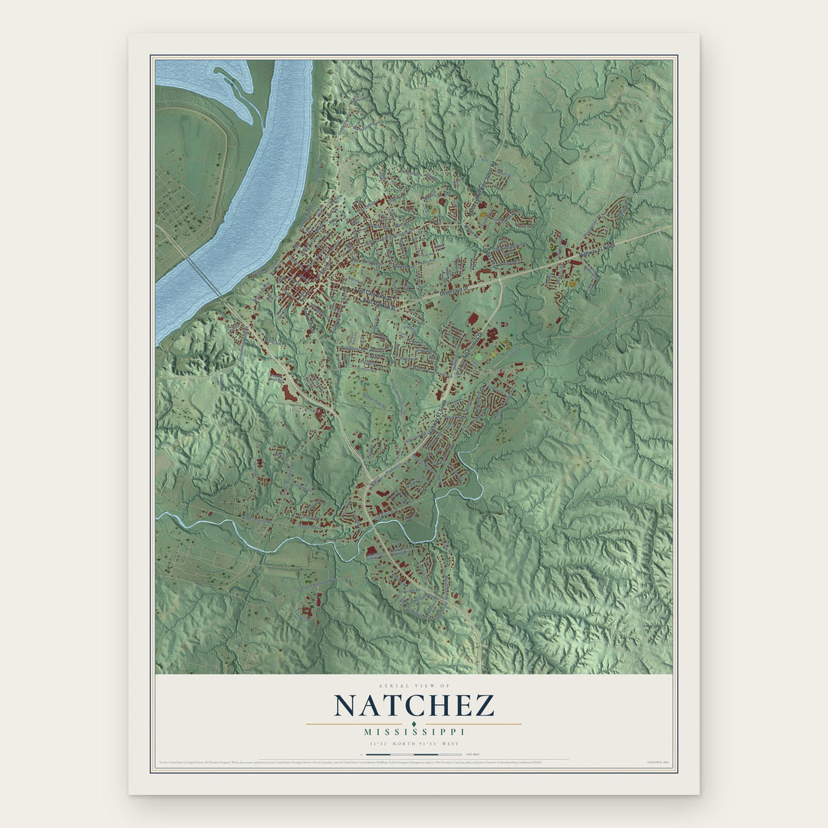
Natchez, Mississippi Map Art
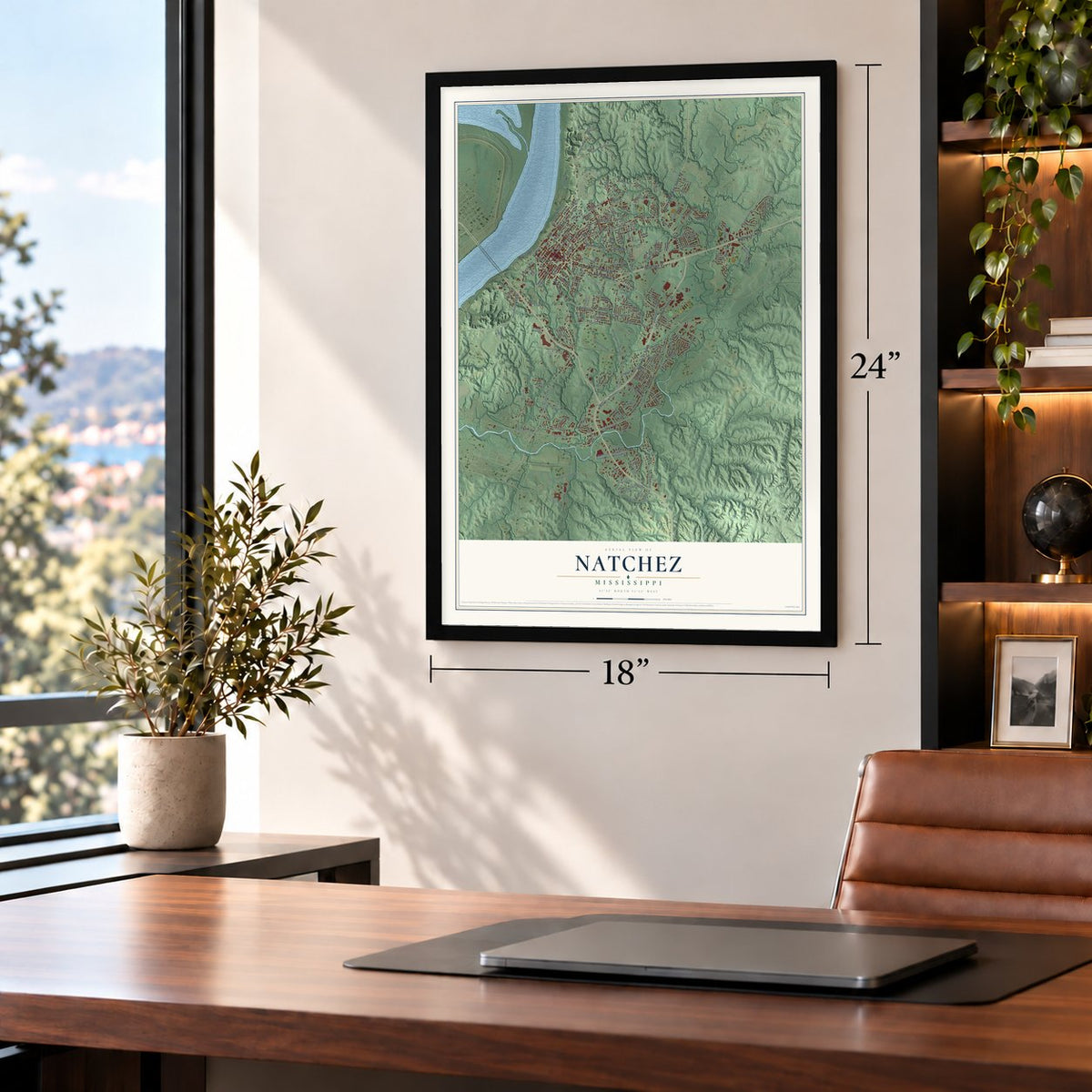
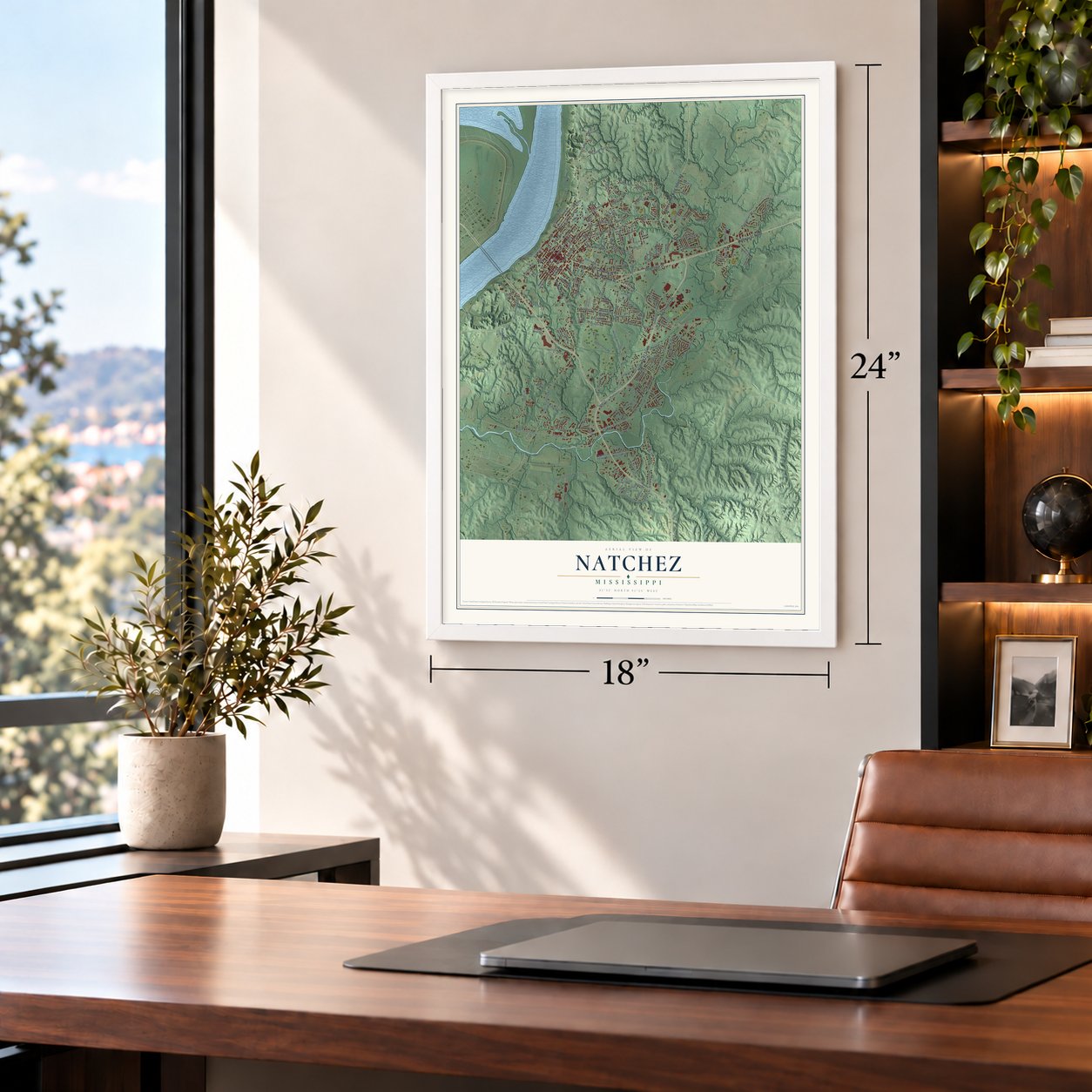
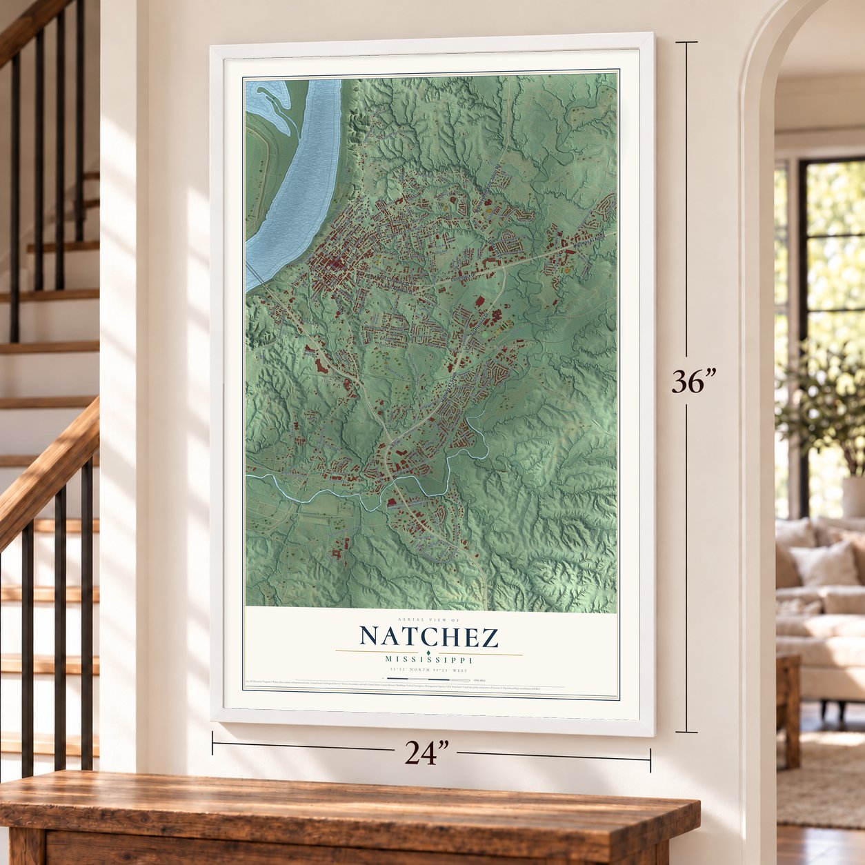
A new map of Natchez, Mississippi, made in 2026 and printed to order on thick archival matte paper.
12" x 18" Archival Matte Print
A Map of Home. A Work of Art.
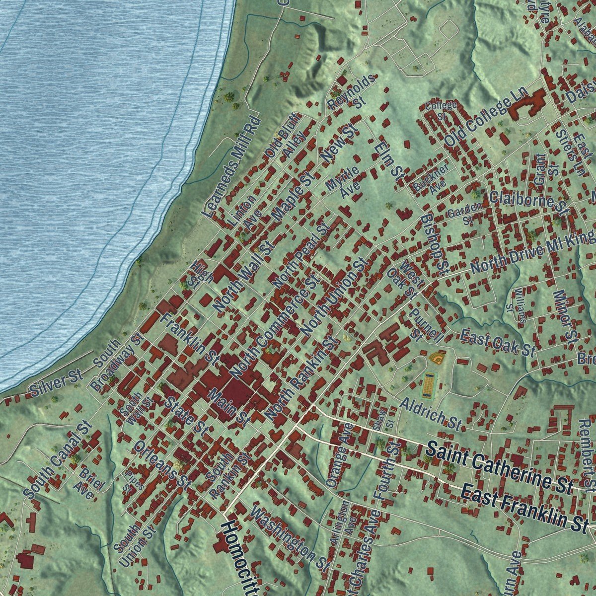
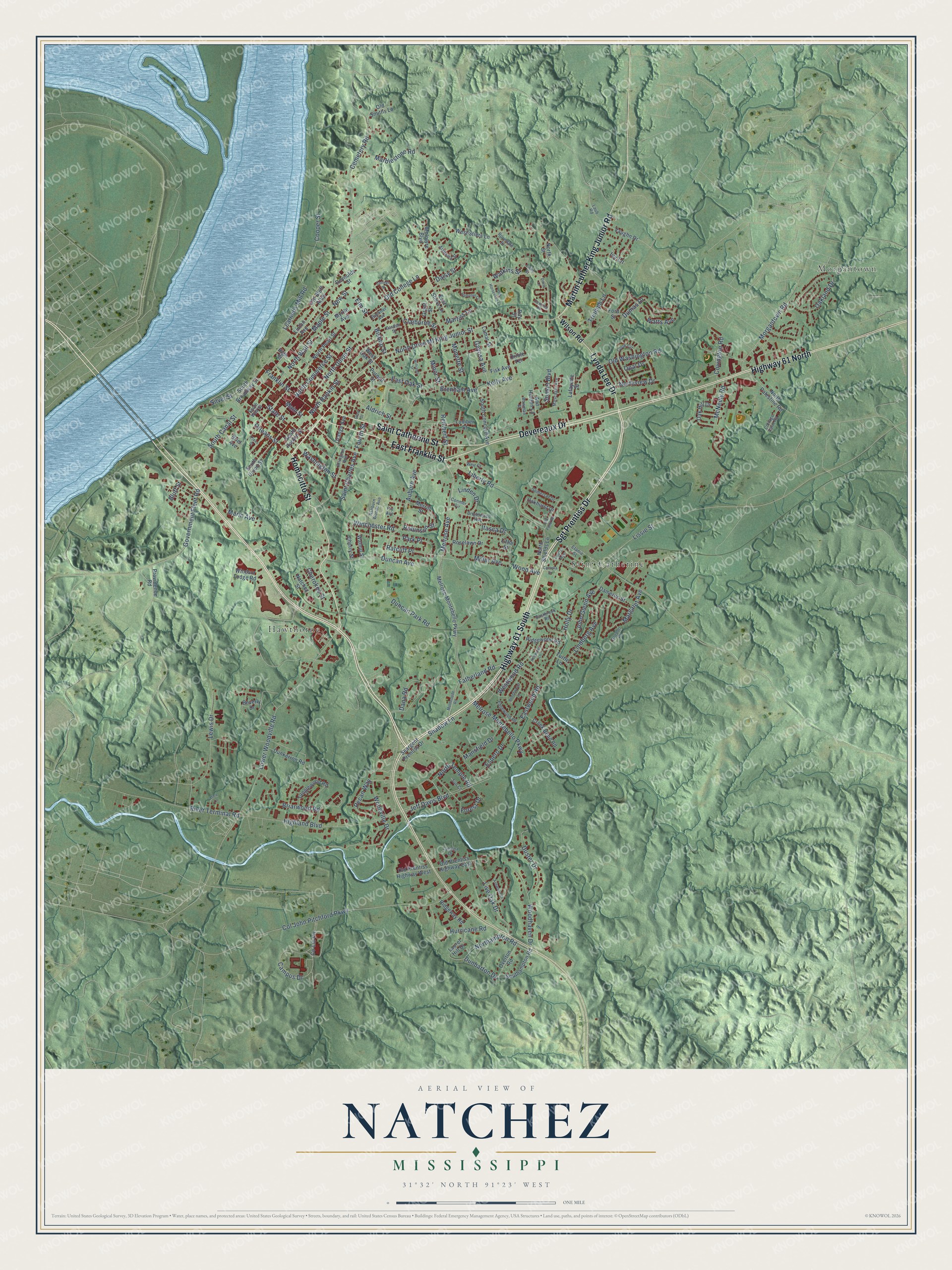
Explore Natchez, Mississippi from a whole new perspective. Created using aerial imagery and detailed geographic data, this map captures Natchez building by building, with labeled streets, familiar landmarks, and shaded topographical relief that highlights the natural contours of the landscape.
Combining modern data with the timeless character of a vintage atlas, this map is just as interesting up close as it is beautiful on the wall. Whether you grew up in Natchez, spent memorable years there, or call it home today, this unique map is a great way to celebrate a place that means something to you. Zoom in on the preview to look for your street, and then order a print to put your memories on the wall.
Three ways to hang it
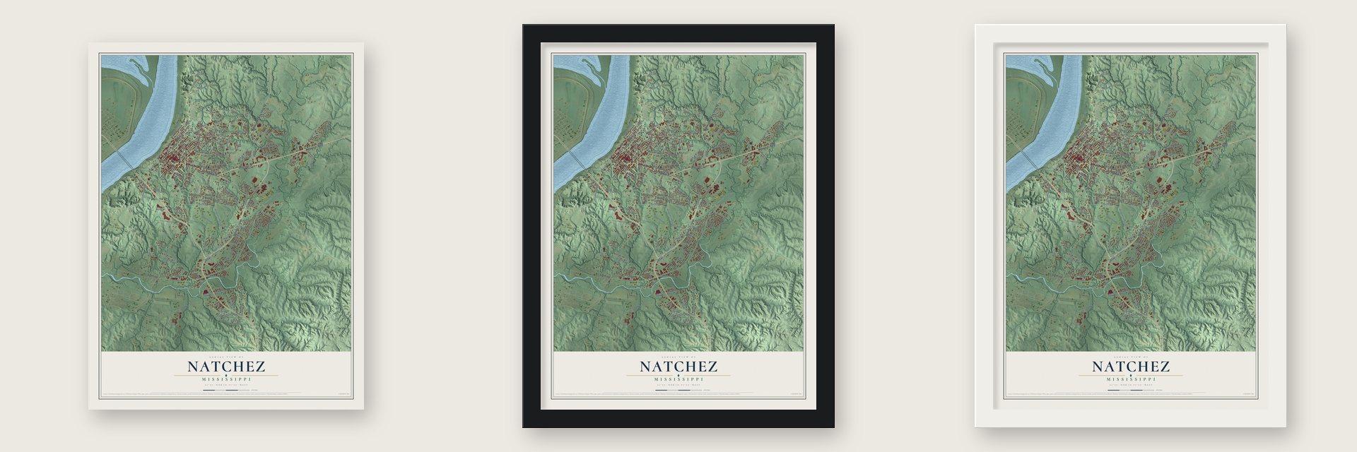
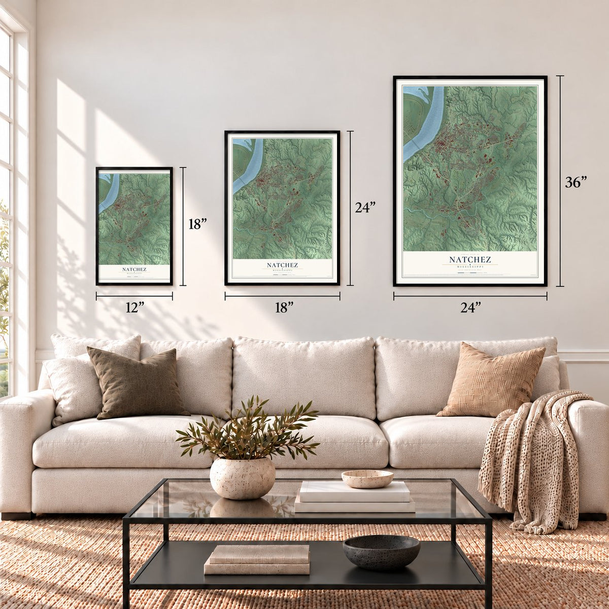
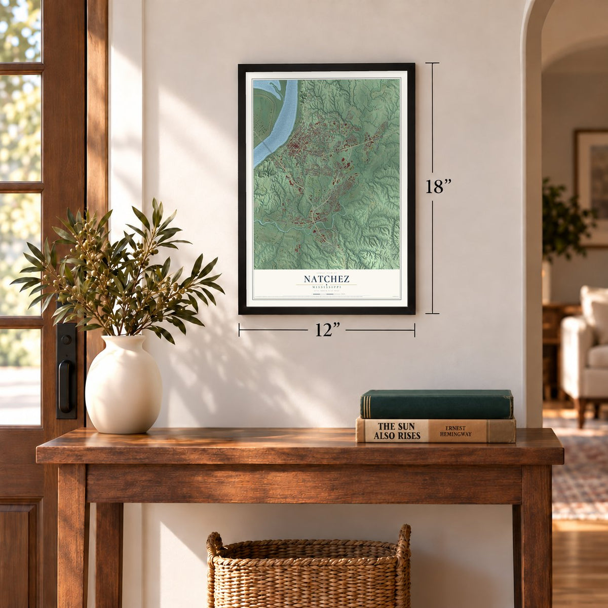
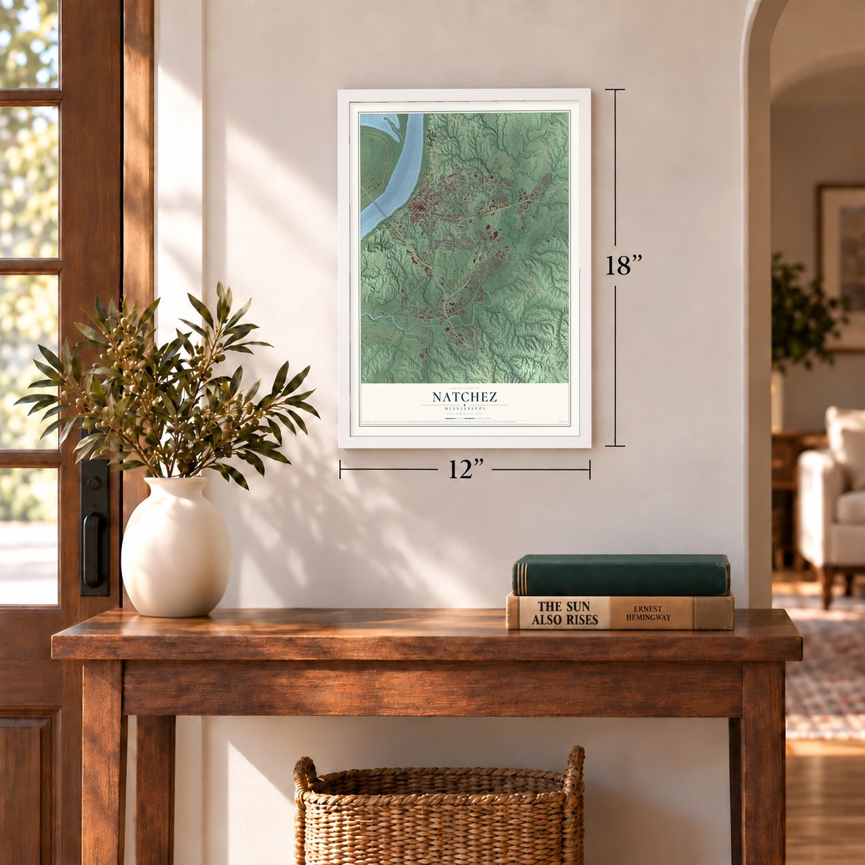
Unframed archival matte, a black wood frame or a white wood frame.
Up close
Geography Worth Displaying
This map was created using accurate cartographic data and authoritative geographic sources, including the U.S. Geological Survey and the Census Bureau. The map brings together terrain, waterways, roads, and building detail. The majority of the streets are labeled, houses are accurately depicted, and the topography is derived from government sources. Combining local data with carefully composed color and shading leads to this beautifully detailed Natchez artwork for your wall.
Rather than simply showing street outlines, we’ve included as many of the street names as we could reasonably fit on the map while keeping their names legible. Zoom in on the high resolution preview to see exactly what’s on the map. We truly set out to create a statement piece for anyone who loves Natchez. So whether it’s for you, or a gift for someone you love, we hope this map of Natchez brings back fond memories.
Read the story behind this map of Natchez, Mississippi from 2026.
About Natchez, Mississippi
Natchez is a city of 14,520 people and the county seat of Adams County, set on a bluff above the Mississippi River across from Vidalia, Louisiana. It takes its name from the Natchez people, whose ancestors lived in the area from the 8th century AD. French colonists founded the settlement in 1716 and built Fort Rosalie as their seat of government and their soldiers' post. Trade between the two peoples turned to conflict, and in 1729 the Natchez attacked the fort and killed more than 200 of its 750 residents.
France gave the territory to Great Britain in 1763, and Spanish forces took Natchez from British troops in 1779. Spanish governor Manuel Gayoso de Lemos, who held authority here from 1789 to 1798, laid out a plan of avenues for the city. In 1797 Major Andrew Ellicott camped on the town's highest ridge and raised the first American flag over it. Natchez then became the seat of government for the new Mississippi Territory, and later for the state itself. As a cotton port and the southern end of the Natchez Trace, it was still Mississippi's largest city in 1860, with 6,612 people.
“The area called Natchez Under-the-Hill became a temporary home for many steamboat workers, travelers, and gamblers.”
- Mississippi's first bankMany of the state's firsts started in Natchez. The Ker School, Mississippi's first academy, opened here in 1801. A year later the publisher Andrew Marschalk, remembered as the Father of Mississippi Journalism, started the Mississippi Gazette in town. The Bank of Mississippi, the state's first bank, opened its doors in Natchez in 1809.
- The Barber of NatchezKnown as the Barber of Natchez, William Johnson was the best-known free African American in Adams County. He owned several businesses in the city and kept a diary that records everyday life in Natchez. His home still stands and is on the National Register as the William Johnson House.
- The tornado of 1840In 1840 a tornado tore through Natchez, killing 317 people and injuring 109. No tornado in U.S. history but one has killed more people. The true toll may be higher, because the South did not count the deaths of enslaved people at that time.
- Spared in the Civil WarConfederate forces gave up Natchez in September 1862 without a fight, so the city escaped the destruction that hit much of the South, and its economy recovered quickly after the war. Robert H. Wood was the city's mayor from 1870 to 1871. Just five African Americans led a city as mayor during Reconstruction, and Wood was one of them, among the earliest Black mayors in the nation.
Find your street
Names on the Natchez map
Every name below is printed on this map. Look for your street, your school, the park where you played, or the pond down the road.
Places and landmarks3
- Hawthorne
- Morgantown
- Saint Catherine
Streets and roads202
- East Franklin Street
- Martin Luther King Junior Road
- Saint Catherine Street
- Sgt Prentiss Drive
- Homocitto Street
- Devereaux Drive
- Highway 61 South
- Highway 61 North
- Lynda Lee Drive
- Melrose Avenue
- North Drive Ml King Junior Street
- Main Street
- Orleans Street
- Liberty Road
- Live Oak Drive
- Lower Woodville Road
- North Union Street
- North Wall Street
- Bluff Street
- Brenham Avenue
- Eastwood Road
- Dunbarton Drive
- State Street
- Briarwood Road
- Duncan Park Road
- Dana Road
- Kelly Avenue
- Jeff Davis Boulevard
- Old Washington Road
- Highland Boulevard
Show all 202 streets
- River Terminal Road
- Col John Pitchford Parkway
- Cemetery Road
- Campus Drive
- Auburn Avenue
- Washington Street
- South Canal Street
- Oakland Drive
- Maple Street
- Dumas Drive
- Shadow Lane
- Watkins Street
- Government Fleet Road
- North Rankin Street
- Lindberg Avenue
- Duncan Avenue
- Learneds Mill Road
- Park Place
- Lewis Drive
- Marblestone Road
- North Commerce Street
- Hurricane Road
- Lissie Street
- Triumph Lane
- Winchester Road
- Fatherland Road
- Aldrich Street
- Morgantown Road
- Pecan Way
- Margaret Avenue
- Watts Avenue
- East Oak Street
- Woodhaven Drive
- Franklin Street
- Melrose Montebello Parkway
- Mansfield Drive
- Duster Drive
- Woodville Drive
- Northampton Road
- Westwood Road
- Miller Avenue
- Linden Drive
- Marin Avenue
- Cooper Street
- Itasca Drive
- Holly Drive
- Covington Road
- Elm Street
- Gayosa Avenue
- Ratcliff Place
- North Temple Road
- Saint Charles Avenue
- Espero Drive
- Silver Street
- Minor Street
- Old College Lane
- John Glenn Avenue
- Northview Drive
- McNeely Road
- Fourth Street
- Claiborne Street
- Cherokee Street
- Daisy Street
- Martins Lane
- Robinson Street
- Monette Street
- Sunset Boulevard
- Ivy Lane
- Wood Avenue
- Rembert Street
- New Street
- Bishop Street
- Forest Drive
- Opal Drive
- Wilson Road
- Melrose-Montebello Parkway
- Old Prentiss Highway East
- Oak Hill Drive
- South Broadway Street
- Vaughn Drive
- Lumber Street
- South Concord Avenue
- West Stiers Lane
- North Pearl Street
- West Oak Street
- South Union Street
- High Street
- Roselawn Drive
- Oakhurst Drive
- Dunkerron Road
- North Palestine Road
- Linton Avenue
- Laurel Hill Drive
- South Rankin Street
- Seargent Prentiss Drive
- Southampton Road
- Ridgeway Road
- Tanglewood Road
- Creek Bend Road
- North Shields Lane
- Windsor Lodge Road
- Overton Road
- Old Prentiss Highway West
- Ford Street
- Dameron Street
- Beverly Drive
- Fisk Avenue
- Old Smiths Lane
- East Stiers Lane
- Ridgewood Road
- Providence Road
- Myrtle Avenue
- Ann Holden Lane
- McIntyre Boulevard
- Purnell Street
- Orange Avenue
- Grant Street
- Briel Avenue
- Merrill Street
- Reynolds Street
- Lafayette Street
- Walnut Street
- Co-Lin Circle
- Cherry Street
- Old Bluff Alley
- Lamar Street
- Natchez Street
- North Street
- Turtle Lane
- Oriole Terrace
- Little Street
- Ray Street
- South Wall Street
- Arlington Avenue
- Ashburn Woods Avenue
- Eastbrook Road
- Laurel Avenue
- Catalpa Drive
- Conmer Circle
- Edgewood Road
- Cook Circle
- Mascagni Avenue
- Cottage Farm Road
- Somerset Drive
- Alabama Street
- Garden Street
- Brightwood Avenue
- Gordon Place
- Laub Road
- Buckner Avenue
- Bowman Street
- Roundale Street
- Weir Court
- Etania Street
- Sun Court
- Laird Street
- Fry Avenue
- Motherlode Road
- College Street
- Williams Street
- Old Pond Road
- Old Horseshoe Lane
- Hampton Court
- Kenwood Lane
- Camelia Drive
- Beechwood Lane
- Ashwood Drive
- Alice Lane
- Downing Road
- Shaw Street
- Pipes Street
- Davis Lane
Names are listed as they appear on the printed map. Zoom into the product photos to find them.
The art of mapping a place
How This Map Was Made
Real places. Remarkable detail. Discover the layers that turn geographic data into a map of home.

The view from above
Aerial imagery reveals the character of the land: woodland, open fields, and the patterns of a place.

The shape of the land
Elevation data brings hills, valleys, and subtle changes in the landscape into view.

The details of home
Roads, waterways, and building footprints come together to make the map feel unmistakably local.

Geography becomes art
Considered color, shading, and typography bring the layers together in a map made for your wall.


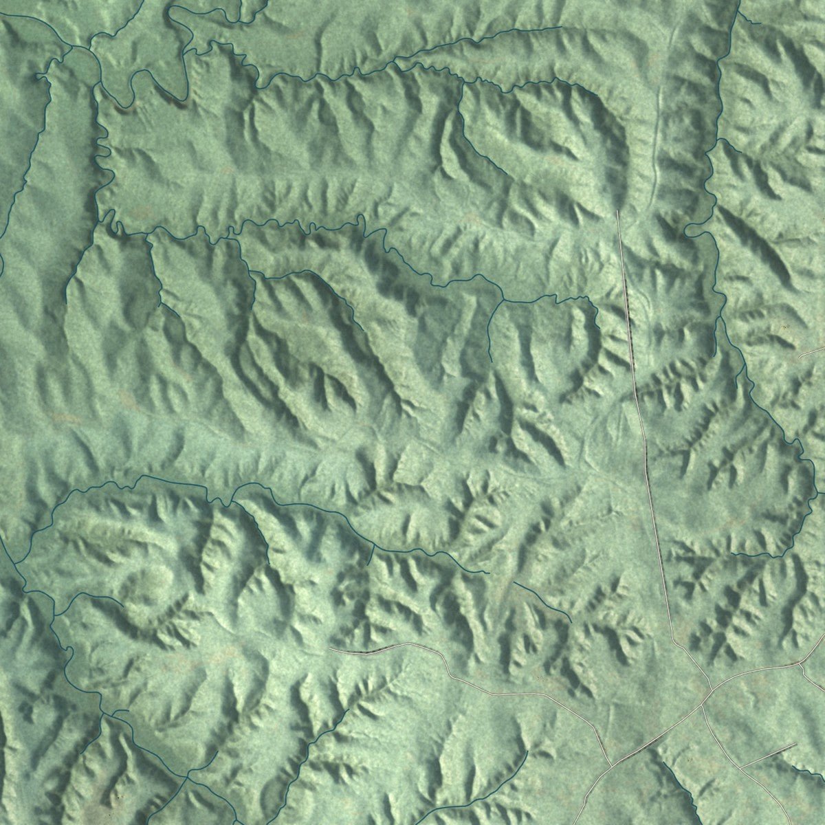
Process illustrated with Mendon, Massachusetts. Aerial imagery: USDA NAIP. Terrain: USGS 3D Elevation Program. Map details and finished artwork: KNOWOL.
The Details
About This Print
Choose an archival matte print, or a black or white Ayous wood frame. The archival matte print is unframed.
Select your size and finish above to see the matching product image and price.
Materials & Craftsmanship
A contemporary map with the character of a classic atlas, printed on archival matte paper. Optional frames are made from Ayous wood.
Your printed map does not include the watermark shown in the full-map preview.
Shipping & Delivery
Free shipping within the United States. Every print is made to order in the USA.
Buying a gift? Add a note in your cart and we'll include it. We never put prices in the package.
Prints ship within 2 to 3 business days. Allow 7 to 10 days total from ordering for delivery. Timing may vary during holidays or periods of high order volume.
Read our shipping policy.
Returns and damaged prints
Each print is made to order. Change-of-mind refunds are not available after production.
If your print arrives damaged, misprinted or incorrect, contact support@knowol.com within 30 days of receiving it. Include your order number, photos and a description of the issue.
Read our full refund and replacement policy. For questions about your order, email support@knowol.com.
Find your town
Looking for another city?
Find a map of home in our Mississippi collection, or any town in the country.
Nearby
Maps of towns near Natchez
Know someone from one of these towns? Their map makes a great gift.
 Morgantown
, Mississippi
From $39.99See the map
 Cloverdale
, Mississippi
From $39.99See the map
 Roxie
Roxie, Mississippi
From $39.99See the map
More maps nearby: Fayette, Crosby, Alcorn State University, Meadville and Woodville.