
Search for another town


Free U.S. delivery 7 to 10 days after you order
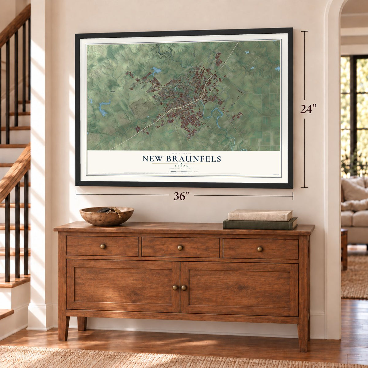
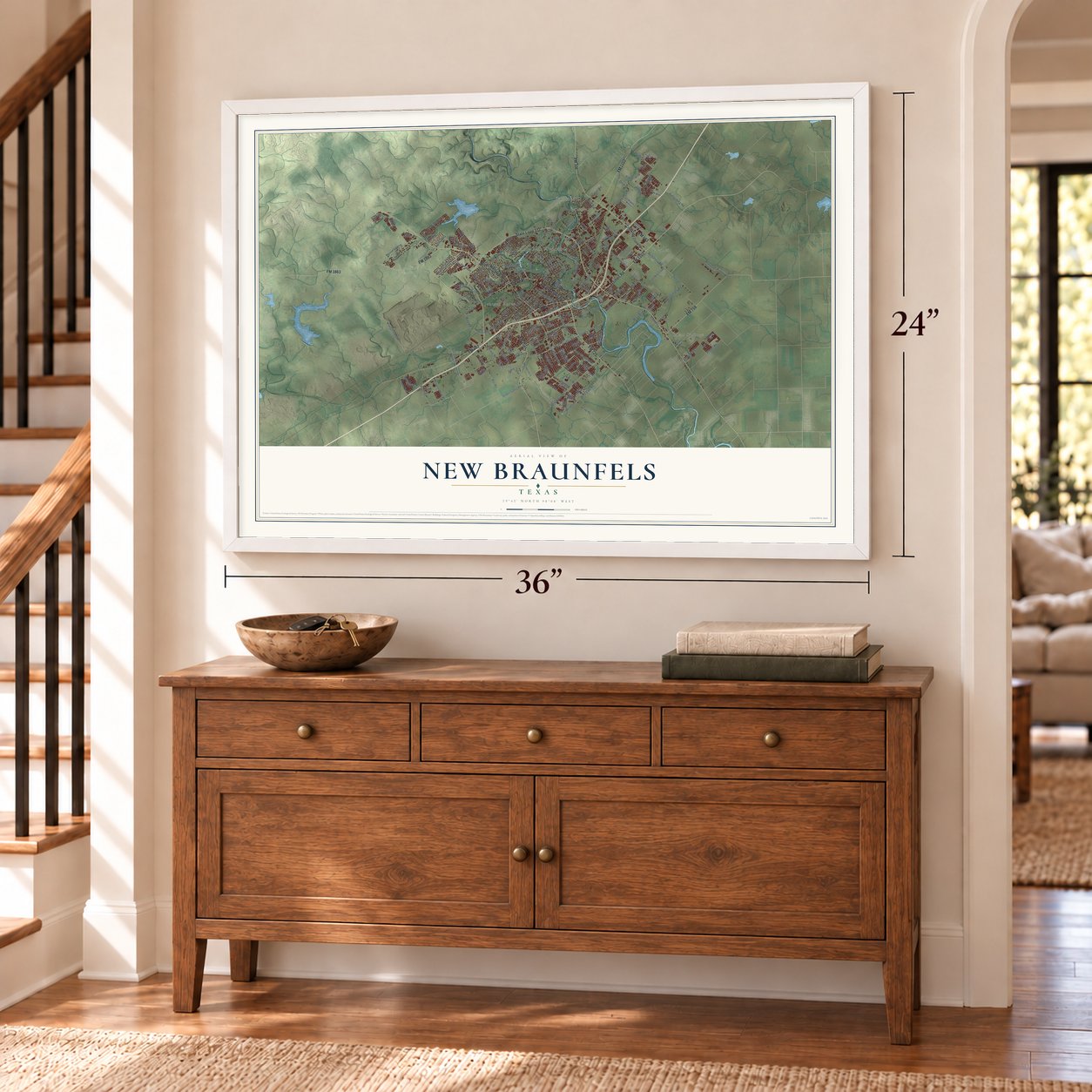
New Braunfels, Texas Map Art
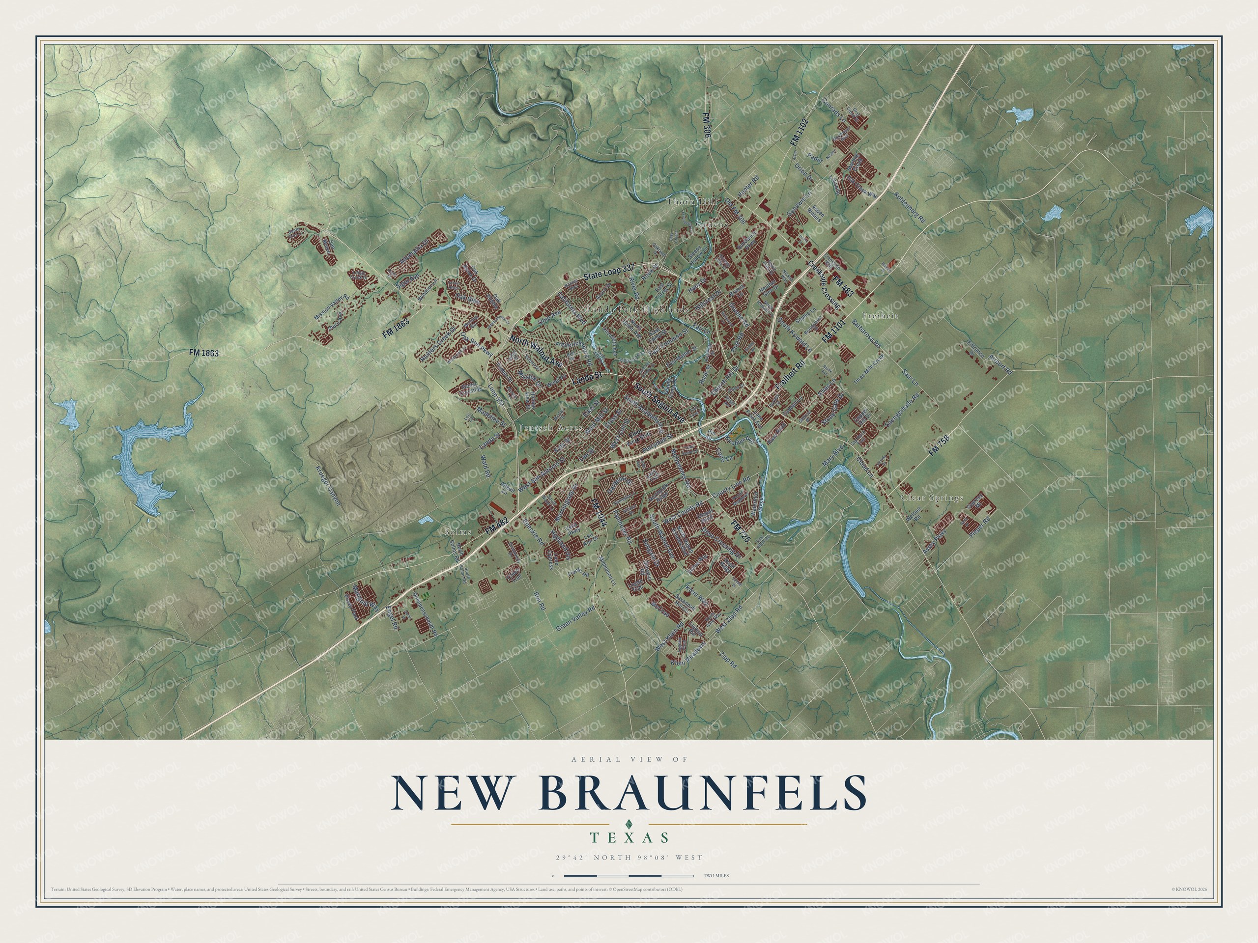
Building by building, with labeled streets and shaded relief.
12" x 18" Archival Matte Print
A Map of Home. A Work of Art.
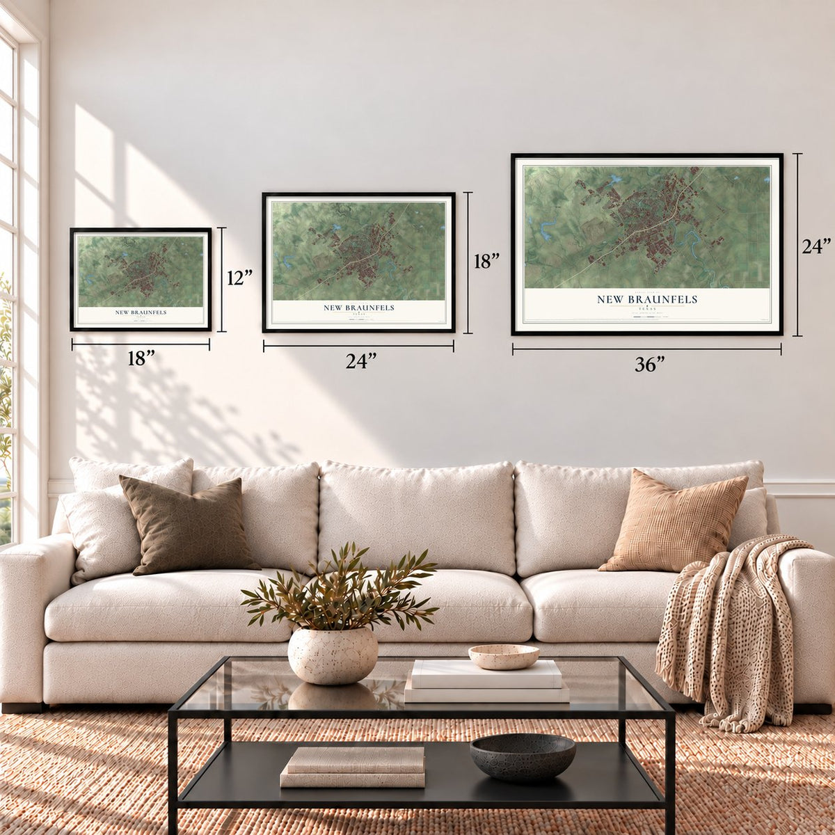
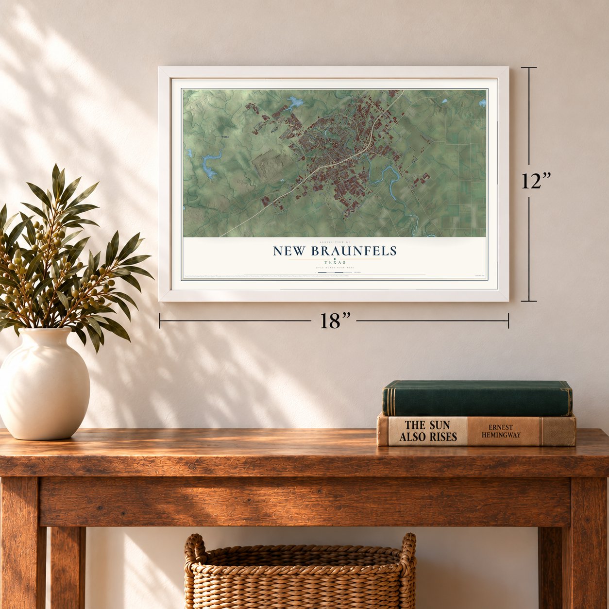
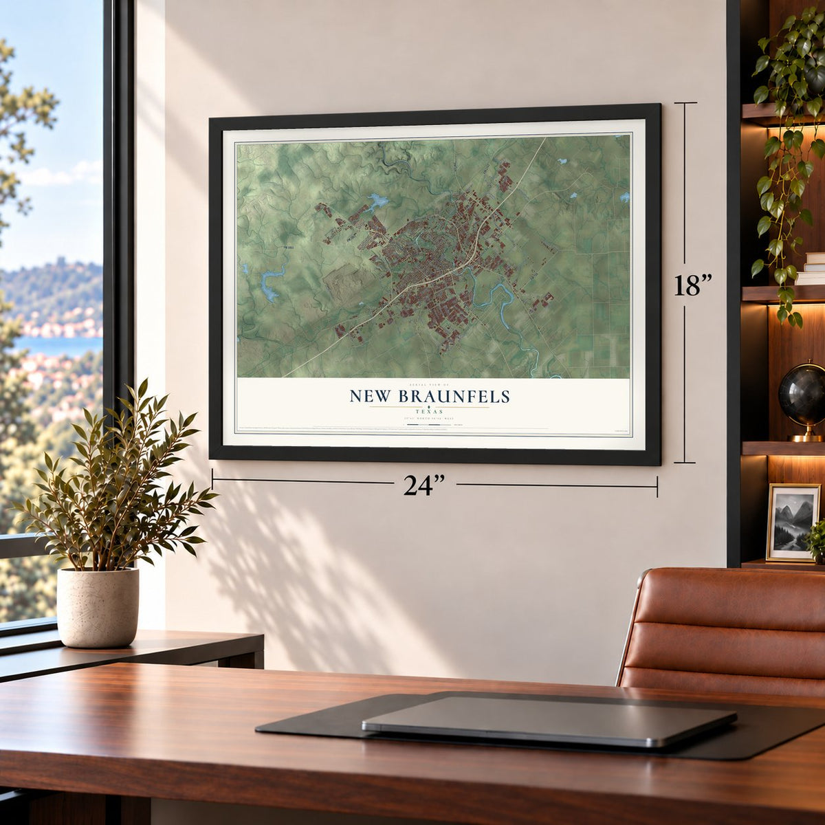
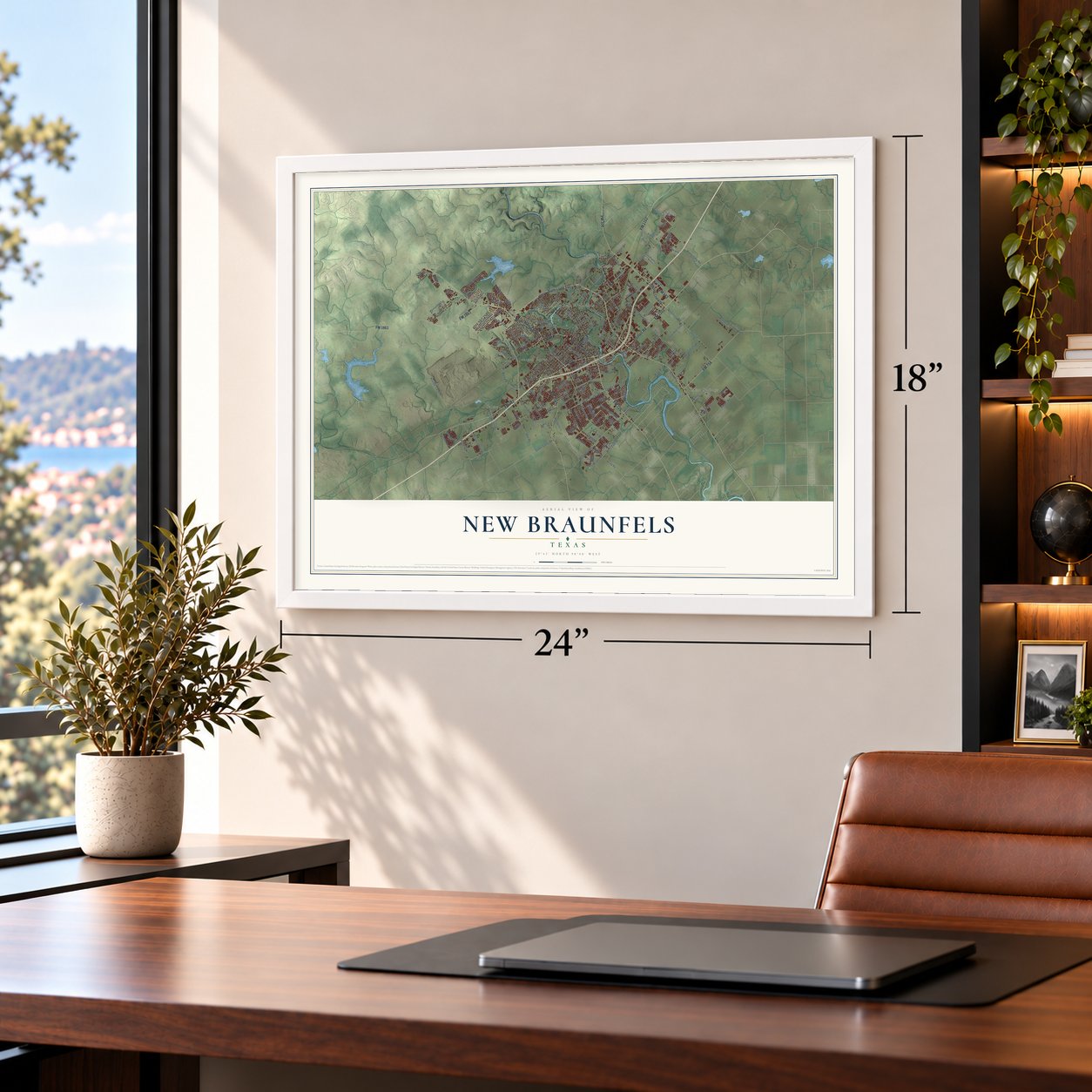
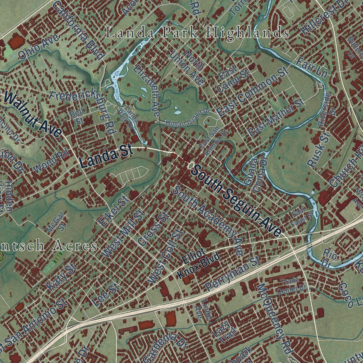
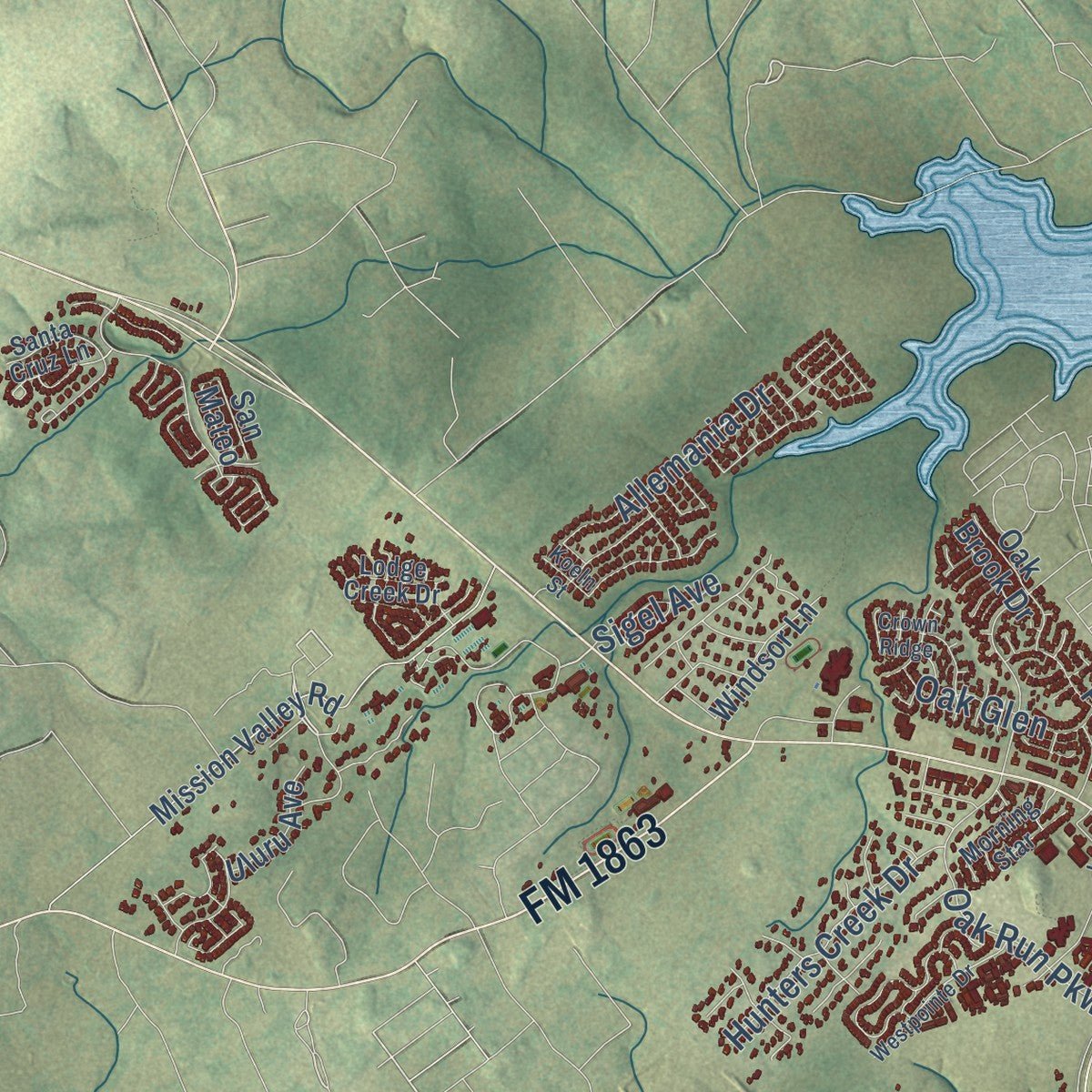
Explore New Braunfels, Texas from a whole new perspective. Created using aerial imagery and detailed geographic data, this map captures New Braunfels building by building, with labeled streets, familiar landmarks, and shaded topographical relief that highlights the natural contours of the landscape.
Combining modern data with the timeless character of a vintage atlas, this map is just as interesting up close as it is beautiful on the wall. Whether you grew up in New Braunfels, spent memorable years there, or call it home today, this unique map is a great way to celebrate a place that means something to you. Zoom in on the preview to look for your street, and then order a print to put your memories on the wall.
Three ways to hang it
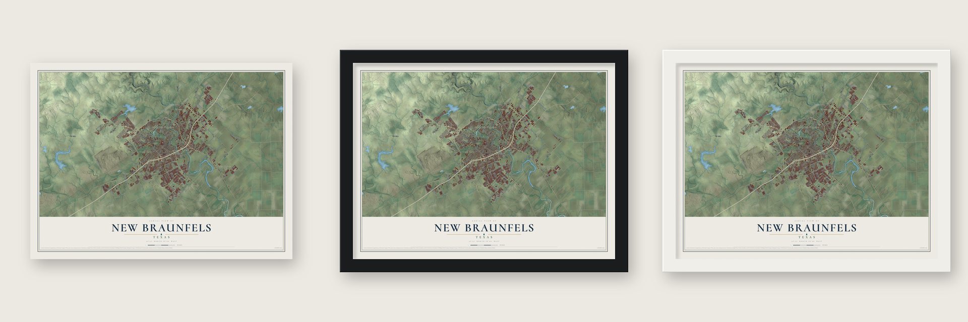
Unframed archival matte, a black wood frame or a white wood frame.
Up close
Geography Worth Displaying
This map was created using accurate cartographic data and authoritative geographic sources, including the U.S. Geological Survey and the Census Bureau. The map brings together terrain, waterways, roads, and building detail. The majority of the streets are labeled, houses are accurately depicted, and the topography is derived from government sources. Combining local data with carefully composed color and shading leads to this beautifully detailed New Braunfels artwork for your wall.
Rather than simply showing street outlines, we’ve included as many of the street names as we could reasonably fit on the map while keeping their names legible. Zoom in on the high resolution preview to see exactly what’s on the map. We truly set out to create a statement piece for anyone who loves New Braunfels. So whether it’s for you, or a gift for someone you love, we hope this map of New Braunfels brings back fond memories.
Read the story behind this map of New Braunfels, Texas from 2026.
Find your street
Names on the New Braunfels map
Every name below is printed on this map. Look for your street, your school, the park where you played, or the pond down the road.
Places and landmarks7
- Clear Springs
- Freiheit
- Gruene
- Jentsch Acres
- Landa Park Highlands
- Solms
- Thorn Hill
Streets and roads202
- Freiheit Road
- Landa Street
- FM 1101
- State Loop 337
- FM 306
- FM 725
- FM 1044
- FM 758
- FM 1863
- South Seguin Avenue
- FM 1102
- FM 482
- North Walnut Avenue
- FM 483
- South Walnut Avenue
- West Zipp Road
- Hanz Drive
- California Boulevard
- Loop 337
- Gruene Road
- Krueger Canyon
- East Common Street
- West Klein Road
- Morningside Drive
- Pahmeyer Road
- West San Antonio Street
- Goodwin Lane
- Alves Lane
- Saur Lane
- Saengerhalle Road
Show all 202 streets
- West Mill Street
- Oak Run Parkway
- Conrads Lane
- Klein Meadows
- Orion Drive
- Fredericksburg Road
- Kuehler Avenue
- McQueeney Road
- County Line Road
- Hunter Road
- Katy Street
- Avery Parkway
- Cross Street
- Post Road
- Ron Road
- Mission Drive
- Dove Crossing Drive
- Lee Street
- West Coll Street
- Wald Road
- South Academy Avenue
- Airport Road
- Church Hill Drive
- Barbarosa Road
- Old FM 306
- Hunters Creek Drive
- Kohlenberg Road
- Klein Way
- Fair Lane
- Stone Gate Drive
- Hillcrest Drive
- Gardenia Drive
- Sungate Drive
- South Kowald Lane
- River Road
- Rusk Street
- Allemania Drive
- Perryman Street
- Ohio Avenue
- Green Valley Road
- Zipp Road
- Oak Glen
- Rock Street
- West County Road
- Engel Road
- Pader
- Pieper Road
- Highland Vis
- Mary Boulevard
- Marigold Way
- McCrae
- Rueckle Road
- Madeline Street
- Cloud Lane
- Coco Lane
- Sigel Avenue
- Eikel Street
- Creekside Crossing
- Logan Trail
- Mission Valley Road
- Wood Road
- North Ranch Estates Boulevard
- East Torrey Street
- North Union Avenue
- Divine Way
- Weltner Road
- Doeppenschmidt Road
- Elizabeth Avenue
- Entrance Drive
- Northpark Ridge
- Michelson Lane
- Guada Coma Drive
- Three Mile Creek
- Stone Crossing
- Timber Drive
- Acorn Drive
- East Mather Street
- Lone Cypress
- Starling Creek
- Savannah Hill Circle
- Oak Creek Way
- Sundance Parkway
- Vista Parkway
- Franks Road
- Sophie Lane
- Heather Glen Drive
- Sleepy Hollow Lane
- North Solms Road
- Waterford Grace
- Tilden Trail
- Windsor Lane
- Lake Front Avenue
- Oak Brook Drive
- Caddell Lane
- Posey Pass
- East Camp Street
- Aspen Waters
- Lou Ann Drive
- River Rock
- Uluru Avenue
- Sunspur Road
- Rio Drive
- Altgelt Lane
- Cypress Ml
- Branch Lane
- Lillianite
- Chapel Bend
- Hidden View Street
- Legend Hill
- Copper Hill Drive
- Oak Pebble
- Quail Ridge
- Lazy Trail
- San Mateo
- Elliot Knox Boulevard
- South Water Lane
- Creekside Way
- Camellia Lane
- Santa Cruz Lane
- Encino Drive
- Legend Pond
- Oasis Street
- Gray Cloud Drive
- Ridge Drive
- Brandywine Drive
- Agave Flats Drive
- Rusty Gate Way
- Northwest Boulevard
- Community Drive
- North Kowald Lane
- Pecan Meadows
- Bell Street
- Gruene Lake Drive
- Riverside Drive
- South Solms Road
- Allison Drive
- Morning Star
- Lodge Creek Drive
- Cap Rock Trail
- Nissan Way
- East Klein Road
- Bonner Boulevard
- Oaklawn Drive
- Bartels Street
- Oelkers Drive
- Lori Lane
- McGar Street
- Nister
- Linde Avenue
- Alster
- Independence Drive
- Landa Park Drive
- Himan Island Drive
- Westpointe Drive
- East San Antonio Street
- Ervenberg Avenue
- Crown Ridge
- Trade Center Drive
- East Faust Street
- Wright Avenue
- Safari Drive
- Buttercup Lane
- Mission Trail
- Brook Avenue
- Easy Gruene
- Valmet Drive
- Lucinda Drive
- Holcan Drive
- Eichen Road
- Koeln Street
- Detex Drive
- Guna Drive
Names are listed as they appear on the printed map. Zoom into the product photos to find them.
About New Braunfels, Texas
New Braunfels was established in 1845 by Prince Carl of Solms-Braunfels and named for His German home. The city extends across Comal and Guadalupe counties and serves as the Comal County seat. Its history includes German immigration, a German-language newspaper, and the historic community of Gruene.
- Population in 2020The 2020 Census recorded 90,403 residents in New Braunfels.
- Comal RiverComal Springs form the Comal River, which flows 3 miles through the city before joining the Guadalupe River.
- German NewspaperThe Neu Braunfelser Zeitung began in 1852, continued publishing in German through 1957, and later merged with an English-language newspaper.
- Early Texas CityBy 1850, New Braunfels had 1,723 residents and ranked as Texas's fourth-largest city.
- Historic GrueneGruene developed with businesses, schools, rail access, a cotton gin, and a dance hall before becoming a nationally registered historic district.
Keep exploring Texas
New Braunfels is one of 2,049 Texas towns we've mapped. Every dot on the map is a print of its own.
The search covers every state, Texas first.
Near New Braunfels
Order 2 or more town maps and save 10%. Shown in the size and finish you picked above, so they hang as a set.
- Lake Dunlap 12" x 18" / Archival Matte Print $39.99
- Santa Clara 12" x 18" / Archival Matte Print $39.99
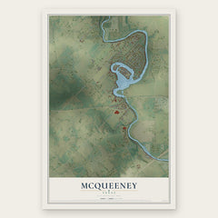
- McQueeney 12" x 18" / Archival Matte Print $39.99
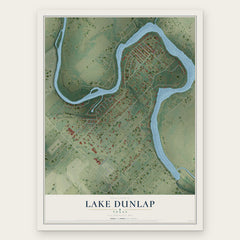
More maps nearby: Marion, Geronimo, Cibolo, Garden Ridge and Seguin.
The art of mapping a place
How This Map Was Made
Real places. Remarkable detail. Discover the layers that turn geographic data into a map of home.

The view from above
Aerial imagery reveals the character of the land: woodland, open fields, and the patterns of a place.

The shape of the land
Elevation data brings hills, valleys, and subtle changes in the landscape into view.

The details of home
Roads, waterways, and building footprints come together to make the map feel unmistakably local.

Geography becomes art
Considered color, shading, and typography bring the layers together in a map made for your wall.


Process illustrated with Mendon, Massachusetts. Aerial imagery: USDA NAIP. Terrain: USGS 3D Elevation Program. Map details and finished artwork: KNOWOL.
The Details
About This Print
Choose an archival matte print, or a black or white Ayous wood frame. The archival matte print is unframed.
Select your size and finish above to see the matching product image and price.
Materials & Craftsmanship
A contemporary map with the character of a classic atlas, printed on archival matte paper. Optional frames are made from Ayous wood.
Your printed map does not include the watermark shown in the full-map preview.
Shipping & Delivery
Free shipping within the United States. Every print is made to order in the USA.
Buying a gift? Add a note in your cart and we'll include it. We never put prices in the package.
Prints ship within 2 to 3 business days. Allow 7 to 10 days total from ordering for delivery. Timing may vary during holidays or periods of high order volume.
Read our shipping policy.
Returns and damaged prints
Each print is made to order. Change-of-mind refunds are not available after production.
If your print arrives damaged, misprinted or incorrect, contact support@knowol.com within 30 days of receiving it. Include your order number, photos and a description of the issue.
Read our full refund and replacement policy. For questions about your order, email support@knowol.com.