
Search for another town




Free U.S. delivery 7 to 10 days after you order
New Hartford, New York Map Art
Building by building, with labeled streets and shaded relief.
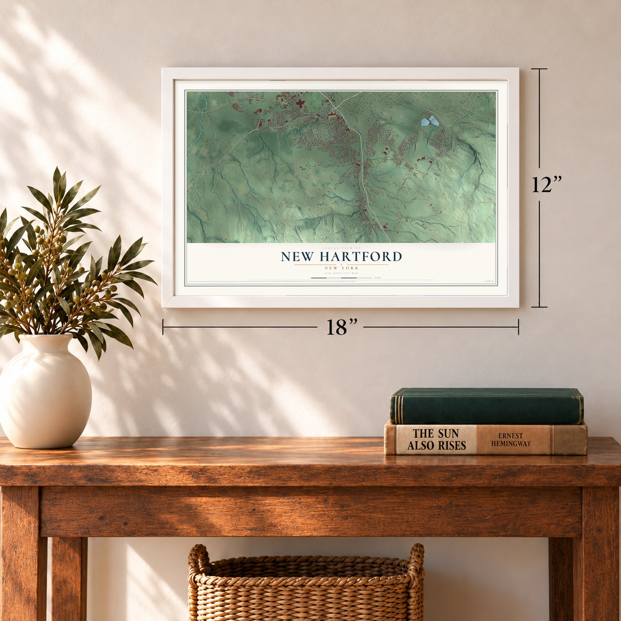
12" x 18" Archival Matte Print
A Map of Home. A Work of Art.
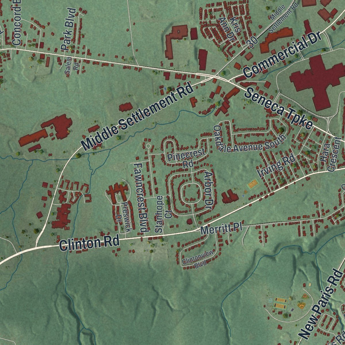
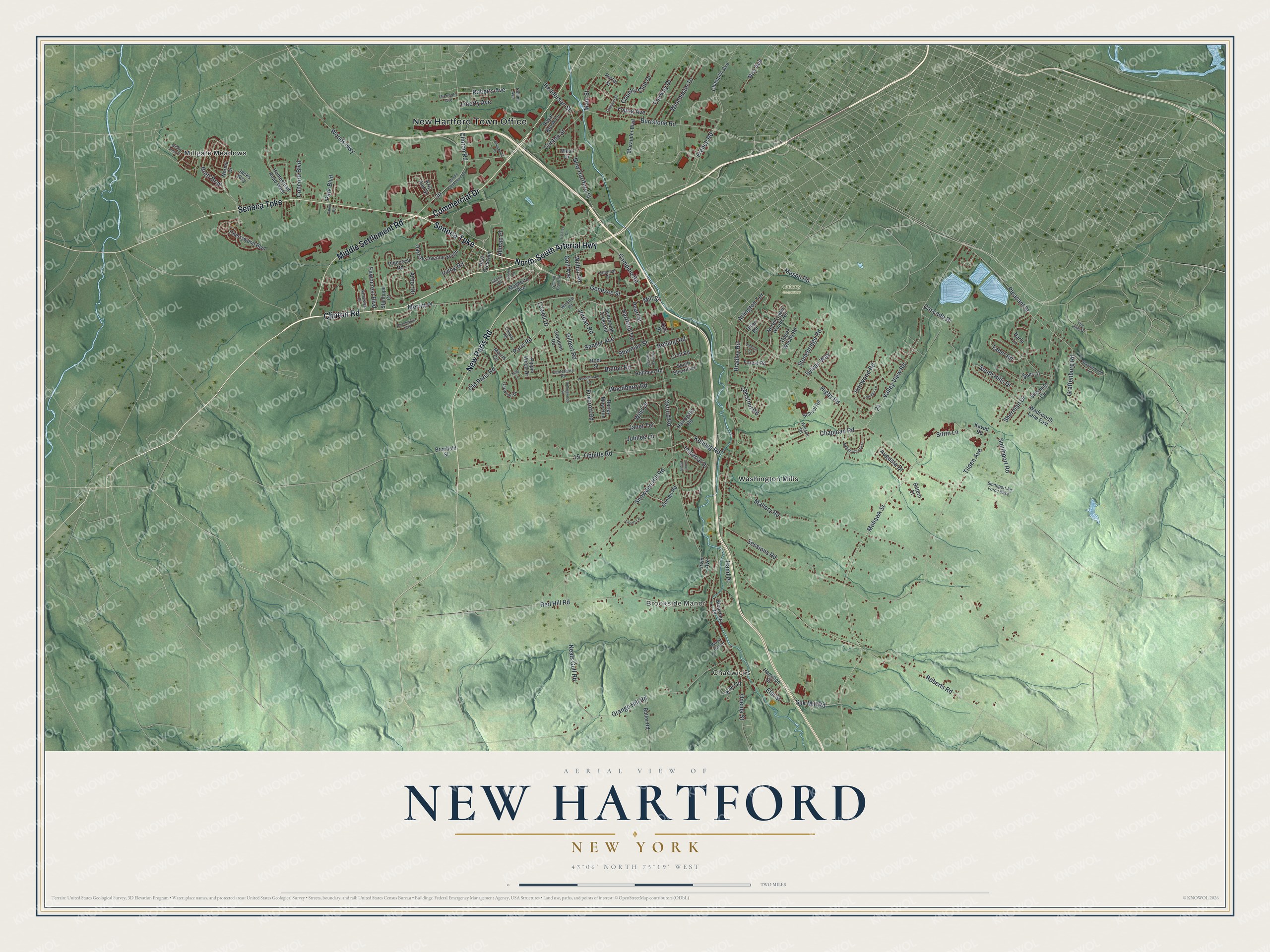
Explore New Hartford, New York from a whole new perspective. Created using aerial imagery and detailed geographic data, this map captures New Hartford building by building, with labeled streets, familiar landmarks, and shaded topographical relief that highlights the natural contours of the landscape.
Combining modern data with the timeless character of a vintage atlas, this map is just as interesting up close as it is beautiful on the wall. Whether you grew up in New Hartford, spent memorable years there, or call it home today, this unique map is a great way to celebrate a place that means something to you. Zoom in on the preview to look for your street, and then order a print to put your memories on the wall.
Three ways to hang it
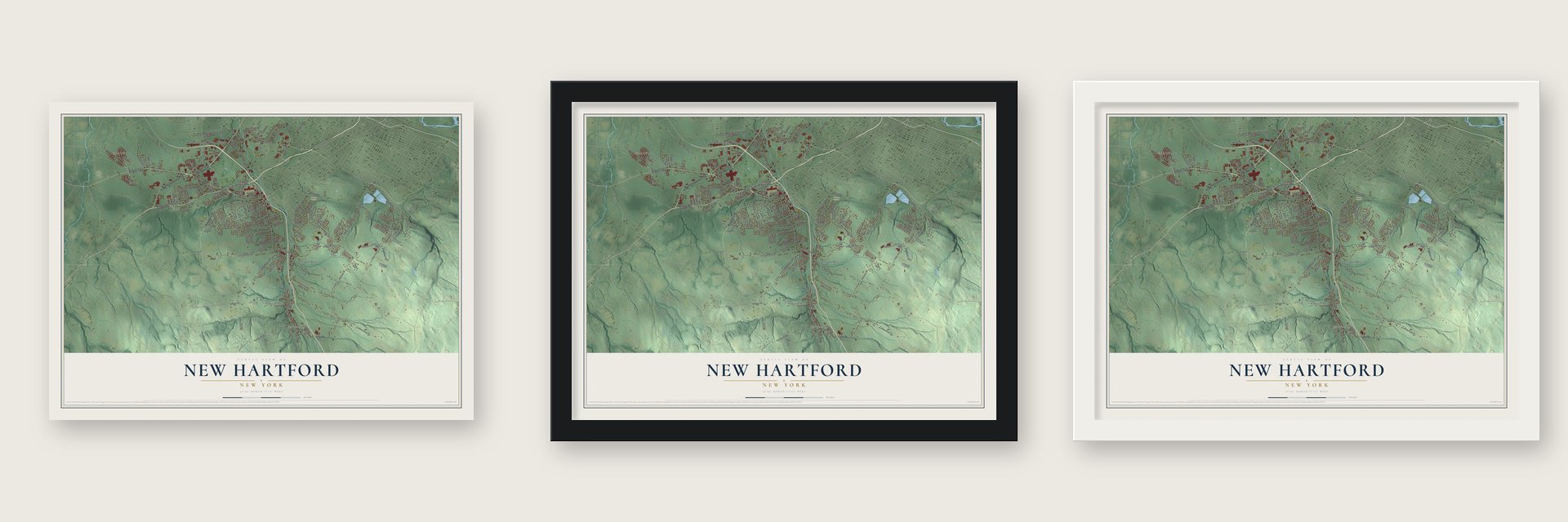
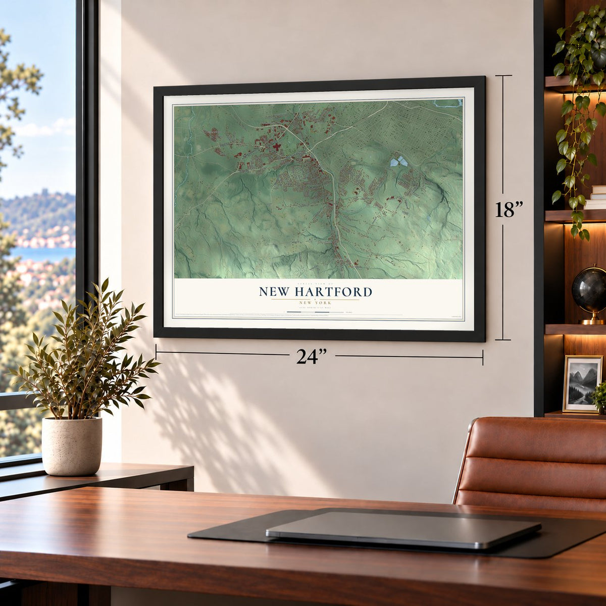
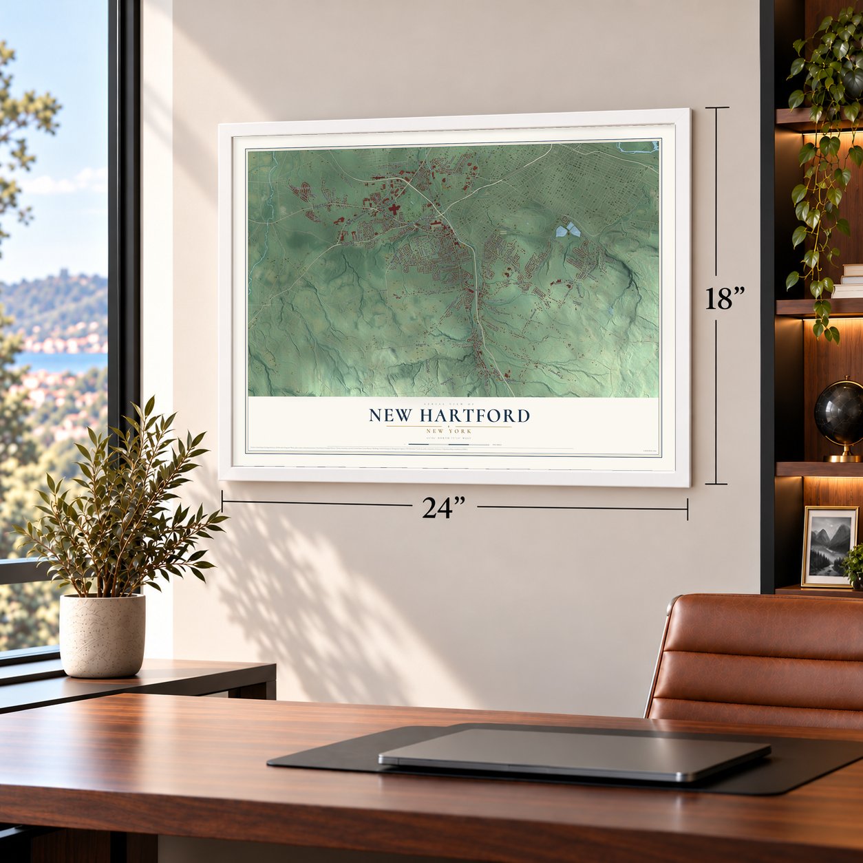
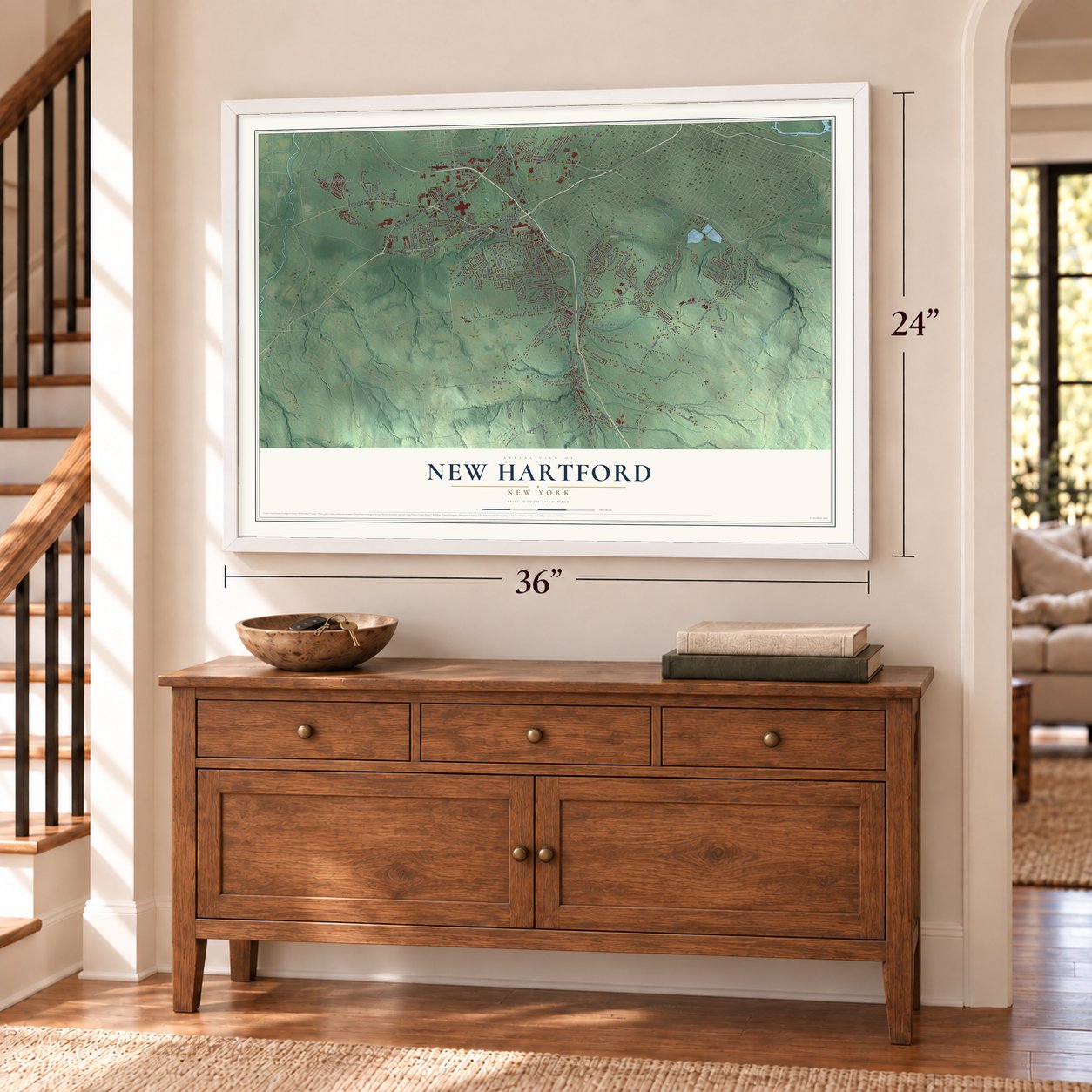
Unframed archival matte, a black wood frame or a white wood frame.
Up close
Geography Worth Displaying
This map was created using accurate cartographic data and authoritative geographic sources, including the U.S. Geological Survey (USGS) and FEMA. The map brings together terrain, waterways, roads, and building detail. The majority of the streets are labeled, houses are accurately depicted, and the topography is derived from government sources. Combining local data with carefully composed color and shading leads to this beautifully detailed New Hartford artwork for your wall.
Rather than simply showing street outlines, we’ve included as many of the street names as we could reasonably fit on the map while keeping their names legible. Zoom in on the high resolution preview to see exactly what’s on the map. We truly set out to create a statement piece for anyone who loves New Hartford. So whether it’s for you, or a gift for someone you love, we hope this map of New Hartford brings back fond memories.
Explore the full map of New Hartford, New York and read about the local places it shows.

Find your street
Names on the New Hartford map
Every name below is printed on this map. Look for your street, your school, the park where you played, or the pond down the road.
Places and landmarks6
- New Hartford Town Office
- Chadwicks
- Brookside Manor
- Calvary Cemetery
- Millgate Meadows
- Washington Mills
Streets and roads160
- Seneca Turnpike
- Clinton Road
- North-South Arterial Highway
- Commercial Drive
- New Paris Road
- Middle Settlement Road
- Genesee Street
- Burrstone Road
- Valley View Road
- Pleasant Street
- Chapman Road
- Wilbur Road
- Merritt Place
- Graffenburg Road
- Roberts Road
- French Road
- Campion Road
- Sanger Avenue
- South Hills Drive
- Mallory Road
- Higby Road
- Oneida Street
- Sessions Road
- Oxford Road
- Mohawk Street
- Tibbitts Road
- Old Paris Road
- Paris Road
- Grange Hill Road
- Snowden Hill Road
Show all 160 streets
- Tilden Avenue
- Red Hill Road
- Elm Street
- Neals Gulf Road
- Sherman Drive
- Woods Highway
- Taber Road
- Clinton Street
- Sitrin Lane
- New Hartford Street
- Ironwood Road
- Sylvan Way
- Gilbert Road
- Imperial Drive
- Woodberry Road
- Hartford Terrace
- Janet Terrace
- Cascade Drive
- Winchester Drive
- Jordan Road
- Smithport Road
- Fairway Drive
- Kellogg Road
- Foxcroft Road
- Roberts Avenue
- Jubilee Lane
- Bolton Road
- Wills Drive
- Stonebridge Road
- Augusta Drive
- Hand Place
- Henderson Street
- Pearl Street
- Country Club Drive
- Chestnut Road
- Concord Boulevard
- Silk Mill Road
- Irving Road
- Bradley Road
- Fawncrest Boulevard
- Arbor Drive
- Young Avenue
- Brett Brae
- Sherman Street
- Golf Avenue
- Ney Avenue
- Arlington Terrace
- Main Street
- Mason Road
- Liberty Avenue
- Kay Circle
- Bohling Road
- Park Boulevard
- Allman Place
- Lowell Drive
- Mill Street
- Norma Drive
- Cherrywood Boulevard
- Champlin Avenue
- Croft Road
- Oakdale Avenue South
- Homestead Road West
- Stanhope Court
- Hoffman Road
- Upper Woods Road
- Harrogate Road
- Jacks Way
- Root Street
- North Lower Woods Road
- Royal Brook Lane
- Bleachery Place
- Barley Mow Run
- Marauder Boulevard
- Overbrook Crescent
- Forest Road
- Wadsworth Lane East
- School Road
- Pinecrest Road
- Morris Circle
- Pippin Wood Drive
- Butler Road
- Sherman Circle
- West Drive
- Kris Ann Drive
- Compton Road
- Hamilton Street
- South Sherrill Lane
- Bittern Court
- Roman Road
- Mayberry Avenue
- Brimfield Street
- Narla Lane
- Hara Crescent
- Tilton Road
- Taber Lane
- Daly Place
- Porter Street
- Kavod Road
- Irvin Avenue
- Slaytonbush Lane
- Galway Road
- Oakwood Drive
- Smithport Air Force Base
- Winship Road
- Preswick Drive
- Colonial Drive
- Canterbury Road
- Weston Road
- Glendale Avenue
- The Hills Drive
- Collins Avenue
- Grace Terrace
- Wood Haven
- Meadowbrook Drive
- Court Knolle
- Benton Circle
- Woodstream Court
- Clintonview Boulevard
- Juniper Lane
- Evalon Road
- Prospect Street
- Rollingwood Drive
- Estates Drive
- Lloyds Lane
- Winmar Crescent
- Willow Tree Circle
- Sherrill Brook Road
- Ellenwood Drive
- Salem Road
- Kelly Lane
Names are listed as they appear on the printed map. Zoom into the product photos to find them.
About New Hartford, New York
New Hartford is a town of 21,874 people in Oneida County, and it is the largest suburb of Utica. Jedediah Sanger went bankrupt in 1784 after a fire destroyed his farm in Jaffrey, New Hampshire. In March 1788 he started over here, on land along the Sauquoit Creek that then belonged to the Town of Whitestown. A settler family from Hartford, Connecticut, gave the place its name.
Sanger brought his family in 1789 and put up a sawmill, then added a gristmill in 1790, and the creek turned both of them. More settlers from Connecticut kept arriving, but for decades the settlement stayed part of Whitestown. On April 12, 1827, the legislature made New Hartford a town of its own, the last of the many towns split off from Whitestown. The village inside it was incorporated in 1870 after residents voted 32 to 9 in favor.
- Sanger's turnpikeIn 1800 the Seneca Road Company formed to run the main road west from Utica as a toll road. Its first route passed north of New Hartford, but Sanger bought shares in the company and used his influence to bring the turnpike through town. The traffic made New Hartford richer than its neighbors and a rival to Utica, until the Erie Canal was dug through Utica and drew the cross-state travelers away.
- Firsts for the stateMills lined the Sauquoit Creek, and its water power let business here outpace Utica's for a time. An Englishman named Butterfield ran the first ingrain carpet loom in New York State, weaving flat carpets that could be turned over when one side wore out. Jonathan Richardson made the state's first cut nails, buying old wine and liquor casks and cutting nails from their iron hoops. Tanneries, paper mills and cotton and knitting factories followed, and most later switched to steam.
- A land deal retoldThe oldest county history, from 1851, says Sanger bought 1,000 acres at fifty cents an acre and within a year sold the land east of the creek to Joseph Higbee, the second settler, for a dollar an acre. Speakers repeated it at the 1888 centennial. But a footnote in the Oneida Historical Society's 1889 record checked the deeds and found Higbee paid slightly less per acre than Sanger. Most people still tell the doubled-money version.
- Oliver Collins, militia generalGeneral Oliver Collins, a Connecticut man who fought in the Revolution, took up a farm at Middle Settlement in 1789 and lived there until he died in 1838. Soon after he arrived he was made a captain in the local militia, and by the War of 1812 he had risen to brigadier general.
Keep exploring New York
New Hartford is one of 2,154 New York towns we've mapped. Every dot on the map is a print of its own.
The search covers every state, New York first.
Near New Hartford
Order 2 or more town maps and save 10%. Shown in the size and finish you picked above, so they hang as a set.
- Washington Mills 12" x 18" / Archival Matte Print $39.99
- Chadwicks 12" x 18" / Archival Matte Print $39.99
- New York Mills 12" x 18" / Archival Matte Print $39.99
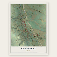
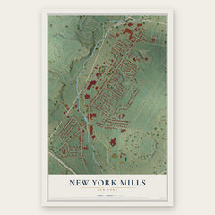
More maps nearby: Yorkville, Utica, Sauquoit, Whitesboro and Clinton.
The art of mapping a place
How This Map Was Made
Real places. Remarkable detail. Discover the layers that turn geographic data into a map of home.

The view from above
Aerial imagery reveals the character of the land: woodland, open fields, and the patterns of a place.

The shape of the land
Elevation data brings hills, valleys, and subtle changes in the landscape into view.

The details of home
Roads, waterways, and building footprints come together to make the map feel unmistakably local.

Geography becomes art
Considered color, shading, and typography bring the layers together in a map made for your wall.


Process illustrated with Mendon, Massachusetts. Aerial imagery: USDA NAIP. Terrain: USGS 3D Elevation Program. Map details and finished artwork: KNOWOL.
The Details
About This Print
Choose an archival matte print, or a black or white Ayous wood frame. The archival matte print is unframed.
Select your size and finish above to see the matching product image and price.
Materials & Craftsmanship
A contemporary map with the character of a classic atlas, printed on archival matte paper. Optional frames are made from Ayous wood.
Your printed map does not include the watermark shown in the full-map preview.
Shipping & Delivery
Free shipping within the United States. Every print is made to order in the USA.
Buying a gift? Add a note in your cart and we'll include it. We never put prices in the package.
Prints ship within 2 to 3 business days. Allow 7 to 10 days total from ordering for delivery. Timing may vary during holidays or periods of high order volume.
Read our shipping policy.
Returns and damaged prints
Each print is made to order. Change-of-mind refunds are not available after production.
If your print arrives damaged, misprinted or incorrect, contact support@knowol.com within 30 days of receiving it. Include your order number, photos and a description of the issue.
Read our full refund and replacement policy. For questions about your order, email support@knowol.com.