
Search for another town




Free U.S. delivery 7 to 10 days after you order
New Kensington, Pennsylvania Map Art
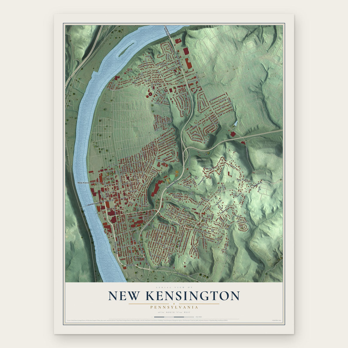
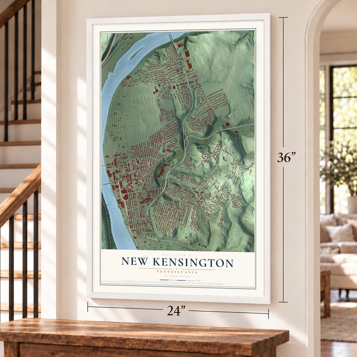
A new map of New Kensington, Pennsylvania, made in 2026 and printed to order on thick archival matte paper.
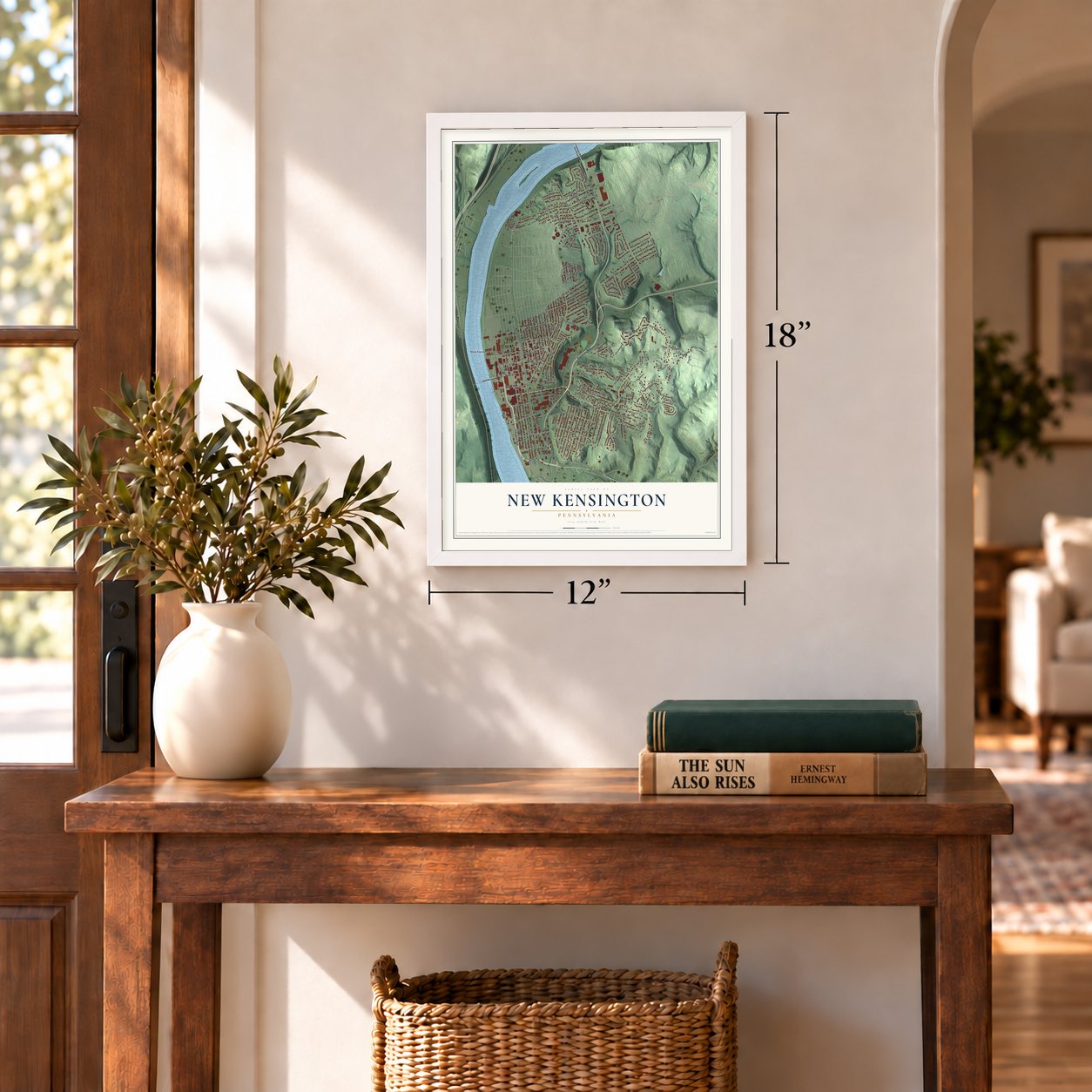
12" x 18" Archival Matte Print
A Map of Home. A Work of Art.
This beautifully detailed map of New Kensington, Pennsylvania was created in 2026 using aerial imagery combined with modern topographical, census, street and landmark data. It's a modern aerial view of New Kensington in Westmoreland County, Pennsylvania, that combines modern data with a vintage aesthetic. Zoom in on the preview and look for your block.

Three ways to hang it
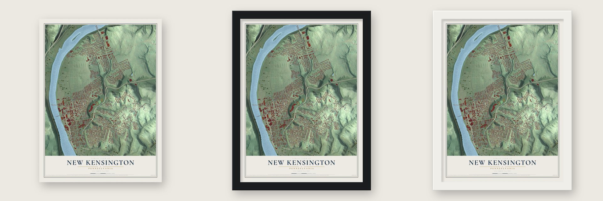
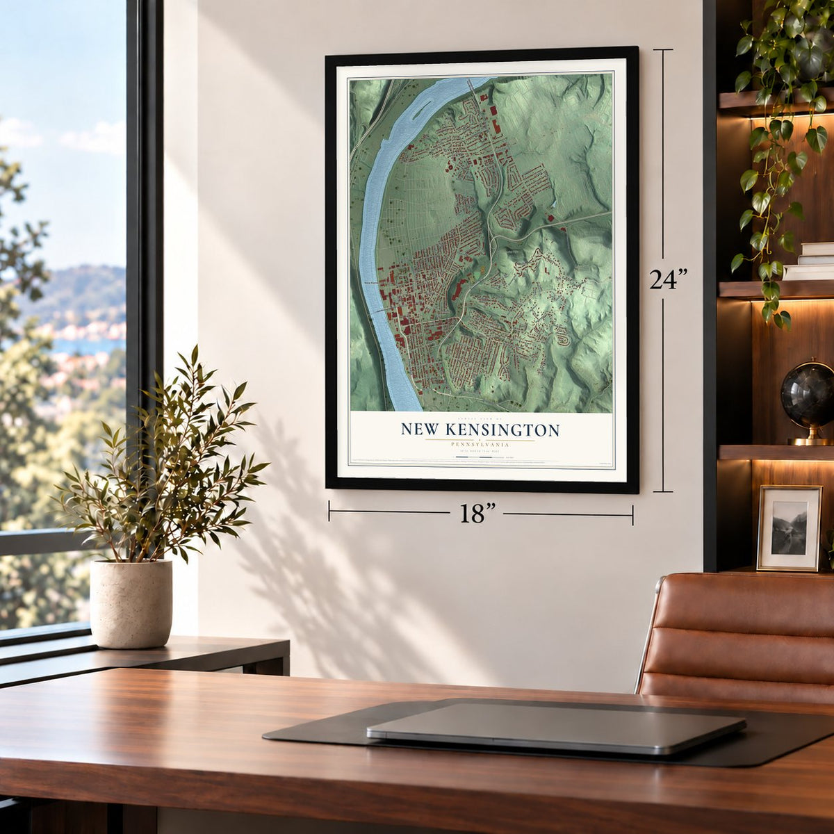
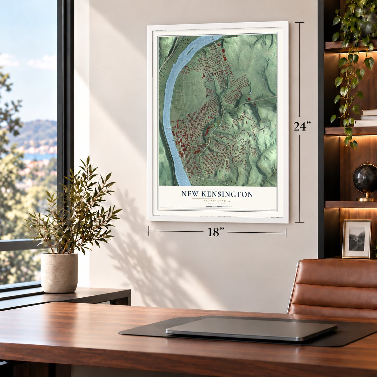
Unframed archival matte, a black wood frame or a white wood frame.
Up close
Real geography. Art worth displaying.
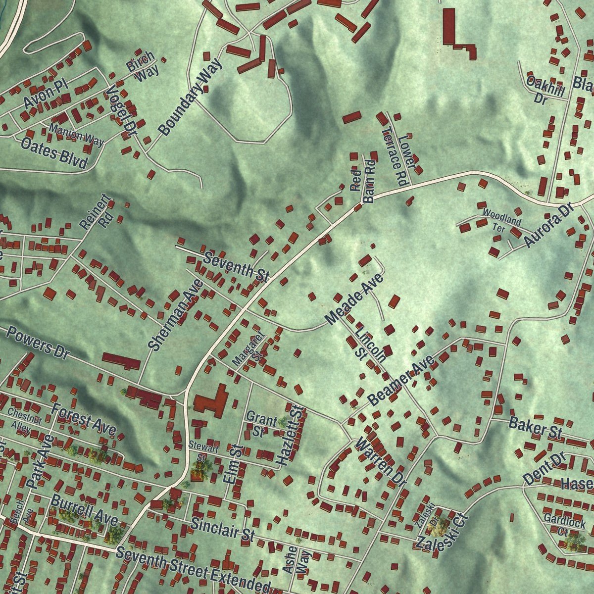
This map was created using accurate cartographic data and authoritative geographic sources, including the U.S. Geological Survey and the Census Bureau. The map brings together terrain, waterways, roads, and building detail. The majority of the streets are labeled, houses are accurately depicted, and the topography is derived from government sources. Combining local data with carefully composed color and shading leads to this beautifully detailed New Kensington artwork for your wall.
Rather than simply showing street outlines, we’ve included as many of the street names as we could reasonably fit on the map while keeping their names legible. Zoom in on the high resolution preview to see exactly what’s on the map. We truly set out to create a statement piece for anyone who loves New Kensington. So whether it’s for you, or a gift for someone you love, we hope this map of New Kensington brings back fond memories.
Read the story behind this map of New Kensington, Pennsylvania from 2026.
About New Kensington, Pennsylvania
New Kensington is a Westmoreland County city beside the Allegheny River, 18 miles northeast of Pittsburgh. Founded in 1891, it developed around a numbered street plan and riverfront industry. Its neighborhoods include Parnassus, Mount Vernon, Valley Heights, Valley Camp, Pine Manor, and 40 Acres.
- Population in 2020The 2020 census recorded 12,170 residents in New Kensington.
- Planned Street GridAvenues were laid out parallel to the river, while numbered streets crossed them, with Fourth and Fifth avenues serving as principal commercial corridors.
- Aluminum IndustryThe Pittsburgh Reduction Company, later Alcoa, became the city's first large company and operated its riverfront facility until 1971.
- Modernist Workers' HousingMarcel Breuer and Walter Gropius designed Aluminum City Terrace in 1941 for Alcoa defense workers, and residents purchased the 250-unit project as a cooperative in 1948.
Find your street
Names on the New Kensington map
Every name below is printed on this map. Look for your street, your school, the park where you played, or the pond down the road.
Places and landmarks6
- New Kensington City Hall
- Memorial Park
- Lower Burrell
- Mount Vernon
- Parnassus
- Valley Camp
Streets and roads209
- Industrial Boulevard
- Fourth Avenue
- Ninth Street
- Seventh Street
- Stevenson Boulevard
- Freeport Street
- Tarentum Bridge Road
- Second Street
- Eighth Street
- Eleventh Street
- Sixth Avenue
- Fourth Street
- Westview Drive
- Locust Alley
- Oates Boulevard
- Craigdell Road
- Vogel Drive
- Vine Alley
- Edgewood Road
- Catalpa Street
- Camp Avenue
- Charles Avenue
- Argonne Drive
- Vernon Street
- Summit Street
- Elcor Drive
- Freeport Road
- Constitution Boulevard
- Fifth Avenue
- Seventh Street Extended
Show all 209 streets
- Falcon Park Road
- Ridge Avenue
- Aluminum City Terrace
- Cherry Alley
- Carl Avenue
- Boundary Way
- Marlboro Drive
- Elmtree Road
- Campbell Avenue
- East Hill Drive
- Haser Drive
- Proctor Alley
- Esther Avenue
- Fairmont Drive
- Earl Avenue
- Kenneth Avenue
- Center Avenue
- Valley Street
- North Street
- Fernledge Drive
- Powers Drive
- Strawn Avenue
- Pershing Drive
- McLaughlin Drive
- Oak Alley
- Riverview Drive
- Beamer Avenue
- Victoria Avenue
- Locust Street
- Leishman Avenue
- Glenview Drive
- Linden Avenue
- Summit Avenue
- Keystone Drive
- Forest Avenue
- Third Avenue
- Greenridge Road
- Spring Street
- Longvue Drive
- Pleasant Avenue
- Martin Avenue
- Meade Avenue
- Wills Road
- Orange Alley
- Francis Boulevard
- Equator Alley
- Taylor Avenue
- Barnes Street
- McCargo Street
- Sinclair Street
- Caldwell Avenue
- Warren Drive
- Falcon Ridge Drive
- Leslie Drive
- North Bluff Drive
- Virginia Drive
- Deerpath Road
- Anderson Street
- Kennedy Avenue
- Frank Drive
- Walnut Street
- Fifth Street
- George Street
- Maiden Lane
- Parkview Drive
- Richdale Drive
- Park Avenue
- McKean Street
- Ross Avenue
- Woodberry Road
- Main Street
- Greenbriar Avenue
- Manor Road
- Third Street
- Kimball Avenue
- Hileman Drive
- Edward Street
- Spruce Alley
- Clyde Street
- Sixth Street
- Rebecca Street
- Marne Avenue
- Dugan Way
- Baldrick Street
- Wood Street
- Zaleski Court
- Dunn Alley
- Highland Avenue
- Sherman Avenue
- Elm Street
- Laurel Place
- Leechburg Road
- Avon Place
- Grandview Way
- Broadlawn Drive
- Burrell Avenue
- Dent Drive
- Baker Street
- Ferry Street
- Home Street
- Aurora Drive
- Woodland Drive
- Rainbow Drive
- Blacks Lane
- Eckles Drive
- Hazlett Street
- Gilbey Lane
- Bell Street
- 13th Street
- New Kensington Bridge
- Tarentum-New Ken Bridge
- Greensburg Road
- Crestline Drive
- Fifth Street Extended
- Woodbine Alley
- Woodmont Avenue
- Kenya Alley
- Tenth Street
- Birch Way
- Lincoln Street
- Evans Street
- Reinert Road
- Kensington Street
- Moss Alley
- Arnold Street
- Westmoreland Avenue
- Knollwood Road
- Orchard Avenue
- Walter
- Church Street
- Franklin Street
- Robinson Street
- Bridge Street
- Lower Terrace Road
- Oakwood Street
- Garfield Street
- Beech Street
- Fern Ridge Drive
- Allegheny Place
- Young Street
- Mary Drive
- Adams Street
- Jones Street
- Red Barn Road
- Short Street
- Grant Street
- Oakhill Drive
- Ashe Way
- Bluff Street
- Beale Way
- Leed Street
- Pine Court
- Ivy Alley
- Highwood Lane
- Railroad Street
- Manion Way
- Elizabeth Street
- Sycamore Alley
- Sloan Avenue
- Union Way
- Margaret Street
- Gardlock Court
- Valley Court
- Second Avenue
- Hollingsworth Street
- Chestnut Alley
- Beech Avenue
- Stewart Street
- Woodland Terrace
- Zaleski Drive
- Harriet Way
- Catawba Alley
- Meadow Road
- Locust Street Extended
- Arrowhead Lane
- Broadway Avenue
- Hawley Alley
- Lancy Street
- Fair Oaks Place
Names are listed as they appear on the printed map. Zoom into the product photos to find them.
The art of mapping a place
How This Map Was Made
Real places. Remarkable detail. Discover the layers that turn geographic data into a map of home.

The view from above
Aerial imagery reveals the character of the land: woodland, open fields, and the patterns of a place.

The shape of the land
Elevation data brings hills, valleys, and subtle changes in the landscape into view.

The details of home
Roads, waterways, and building footprints come together to make the map feel unmistakably local.

Geography becomes art
Considered color, shading, and typography bring the layers together in a map made for your wall.


Process illustrated with Mendon, Massachusetts. Aerial imagery: USDA NAIP. Terrain: USGS 3D Elevation Program. Map details and finished artwork: KNOWOL.
The Details
About This Print
Choose an archival matte print, or a black or white Ayous wood frame. The archival matte print is unframed.
Select your size and finish above to see the matching product image and price.
Materials & Craftsmanship
A contemporary map with the character of a classic atlas, printed on archival matte paper. Optional frames are made from Ayous wood.
Your printed map does not include the watermark shown in the full-map preview.
Shipping & Delivery
Free shipping within the United States. Every print is made to order in the USA.
Buying a gift? Add a note in your cart and we'll include it. We never put prices in the package.
Prints ship within 2 to 3 business days. Allow 7 to 10 days total from ordering for delivery. Timing may vary during holidays or periods of high order volume.
Read our shipping policy.
Returns and damaged prints
Each print is made to order. Change-of-mind refunds are not available after production.
If your print arrives damaged, misprinted or incorrect, contact support@knowol.com within 30 days of receiving it. Include your order number, photos and a description of the issue.
Read our full refund and replacement policy. For questions about your order, email support@knowol.com.
Find your town
Looking for another city?
Find a map of home in our Pennsylvania collection.
Nearby
Maps of towns near New Kensington
Know someone from one of these towns? Their map makes a great gift.
 Arnold
, Pennsylvania
From $39.99See the map
 Lower Burrell
, Pennsylvania
From $39.99See the map
 East Deer
, Pennsylvania
From $39.99See the map
More maps nearby: Tarentum, Springdale, Brackenridge, Borough of Springdale and Harwick.