
Search for another town
Free U.S. delivery 7 to 10 days after you order
Newtown Township, Bucks County, Pennsylvania Map Art
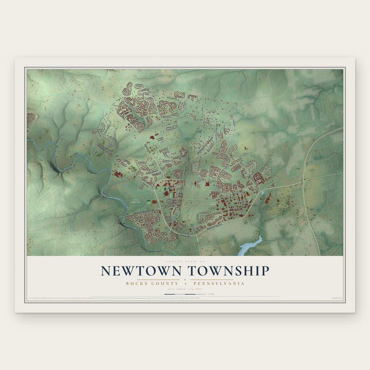
Building by building, with labeled streets and shaded relief.
12" x 18" Archival Matte Print
A Map of Home. A Work of Art.
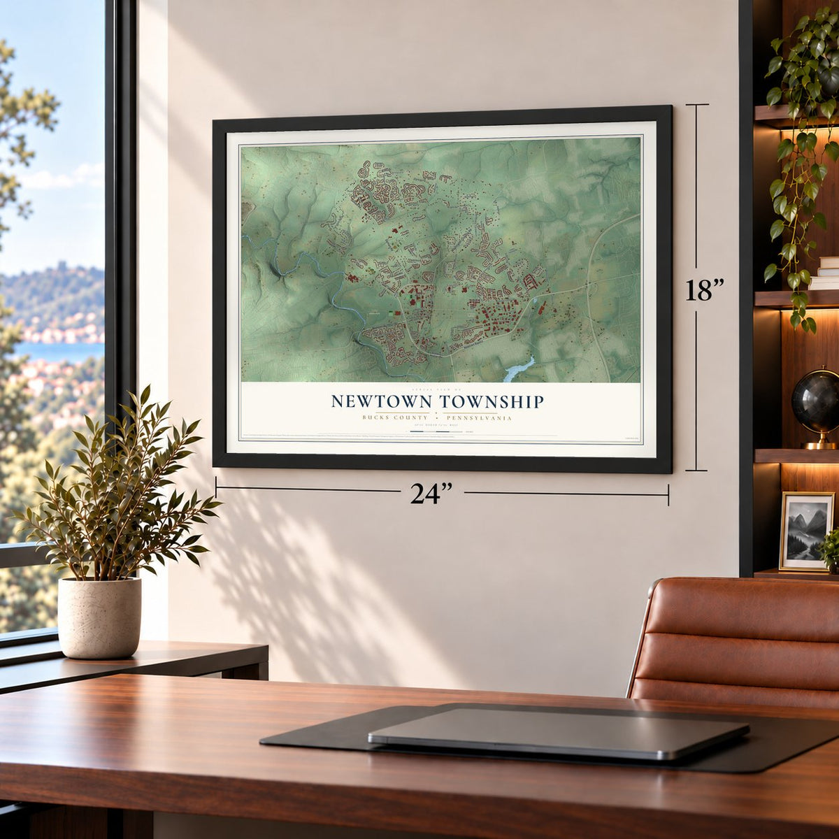
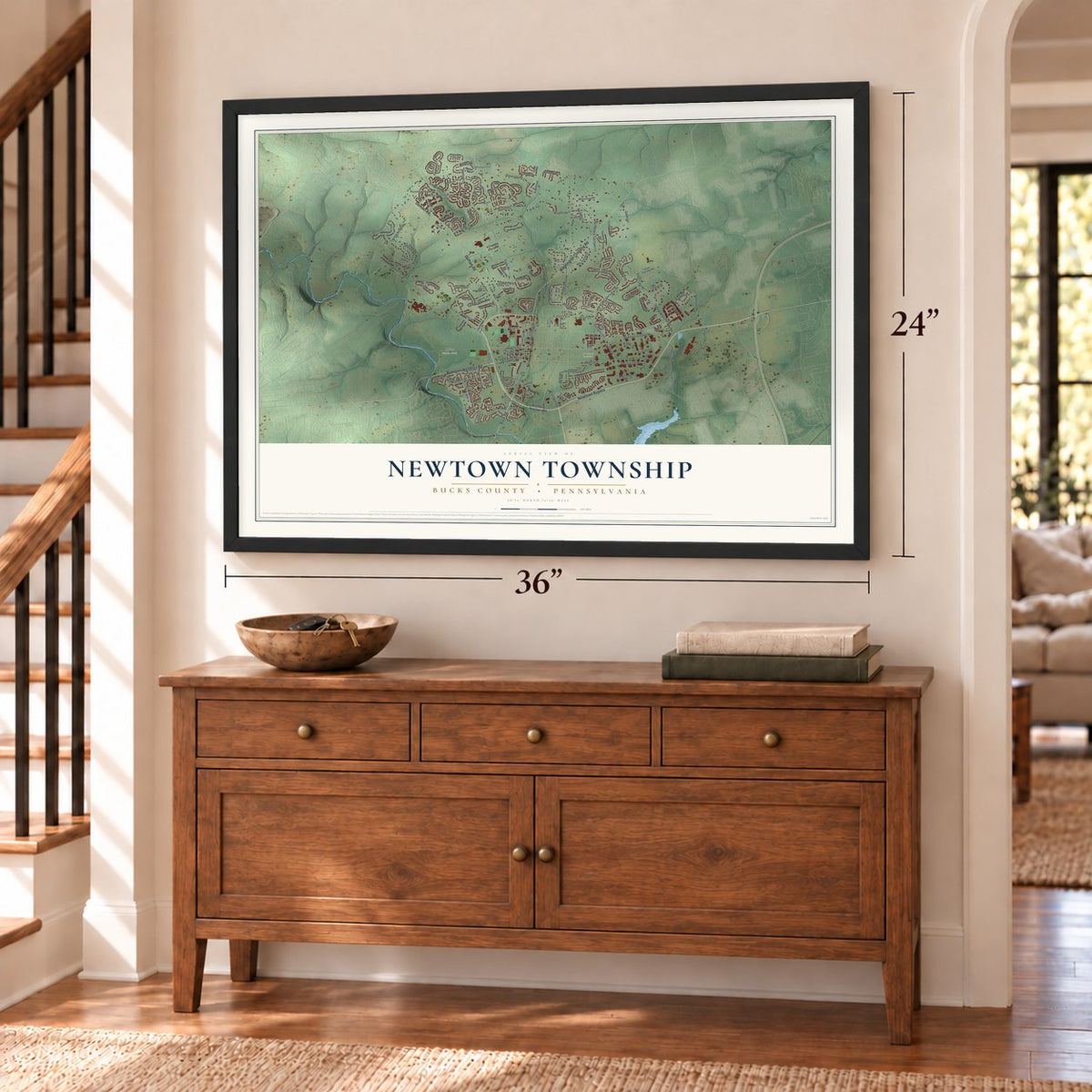
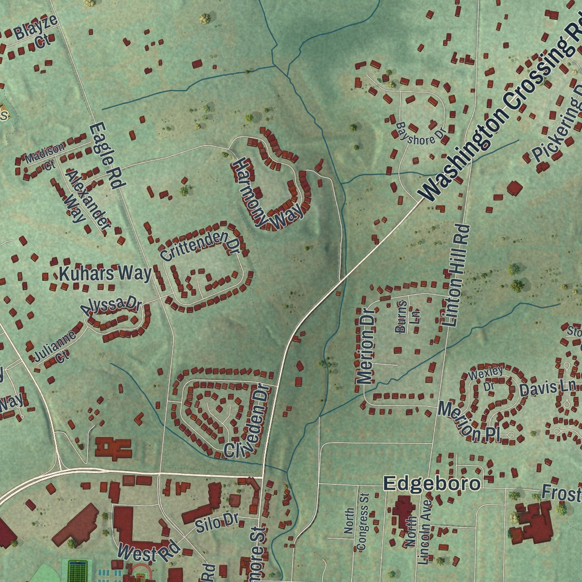
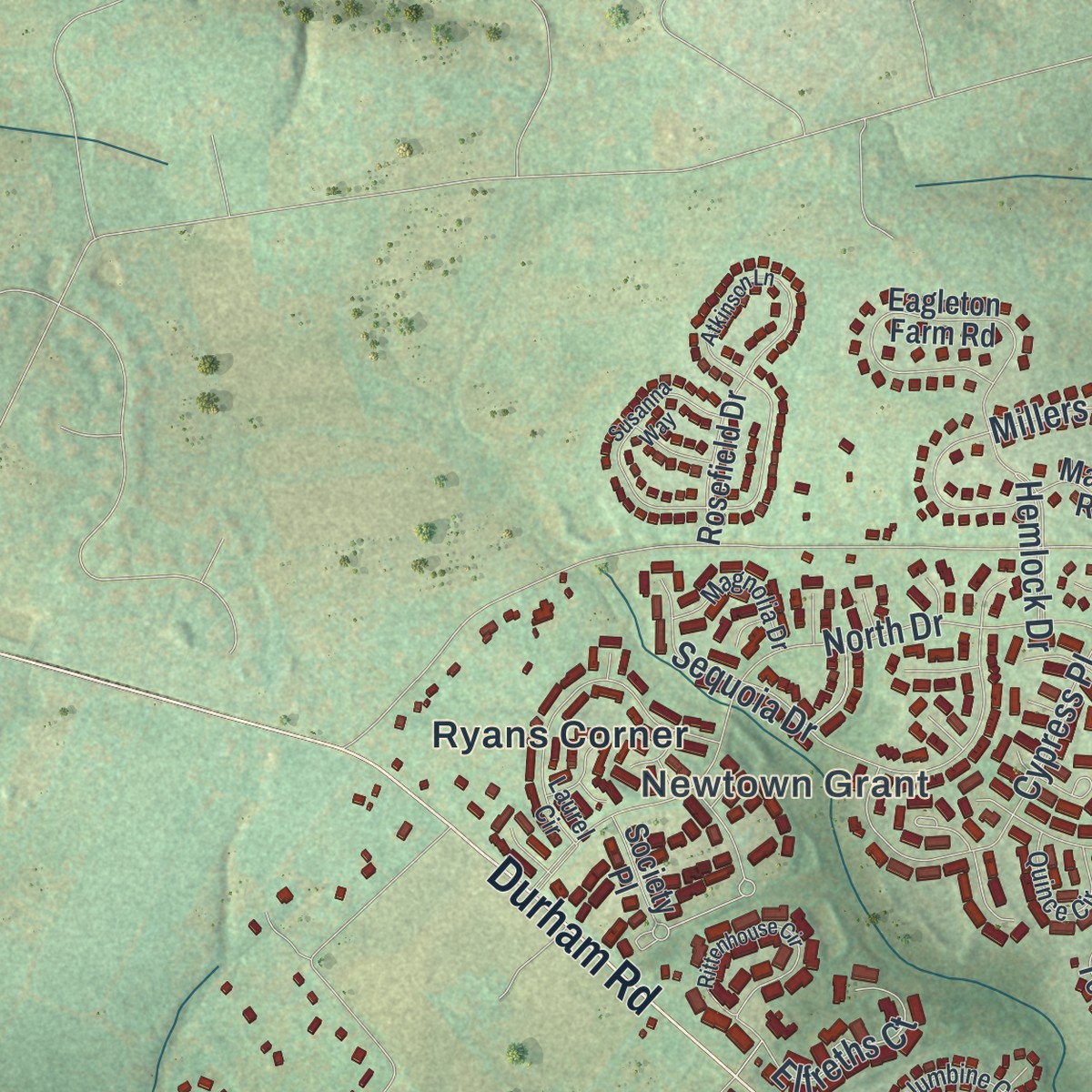
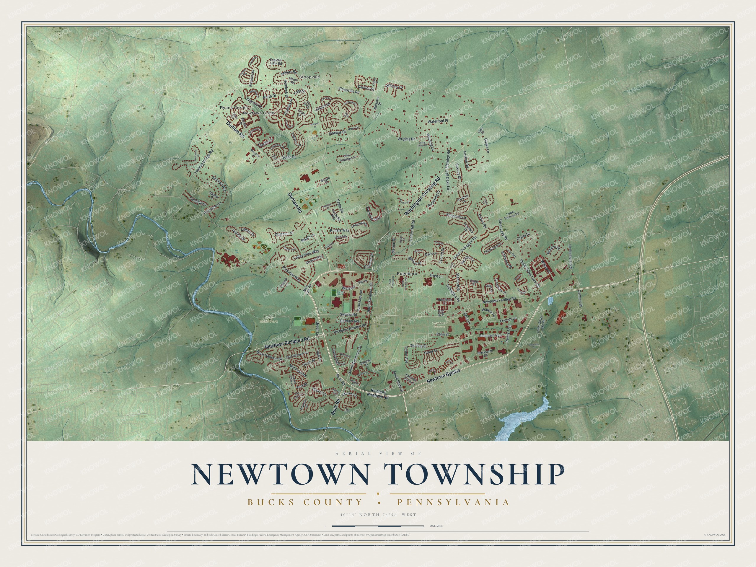
Explore Newtown Township, Bucks County, Pennsylvania from a whole new perspective. Created using aerial imagery and detailed geographic data, this map captures Newtown Township building by building, with labeled streets, familiar landmarks, and shaded topographical relief that highlights the natural contours of the landscape.
Combining modern data with the timeless character of a vintage atlas, this map is just as interesting up close as it is beautiful on the wall. Whether you grew up in Newtown Township, spent memorable years there, or call it home today, this unique map is a great way to celebrate a place that means something to you. Zoom in on the preview to look for your street, and then order a print to put your memories on the wall.
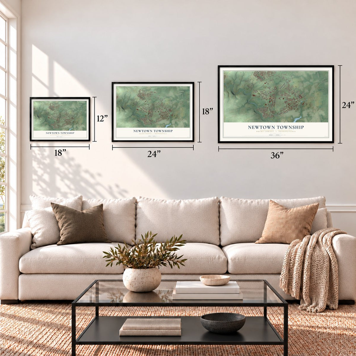
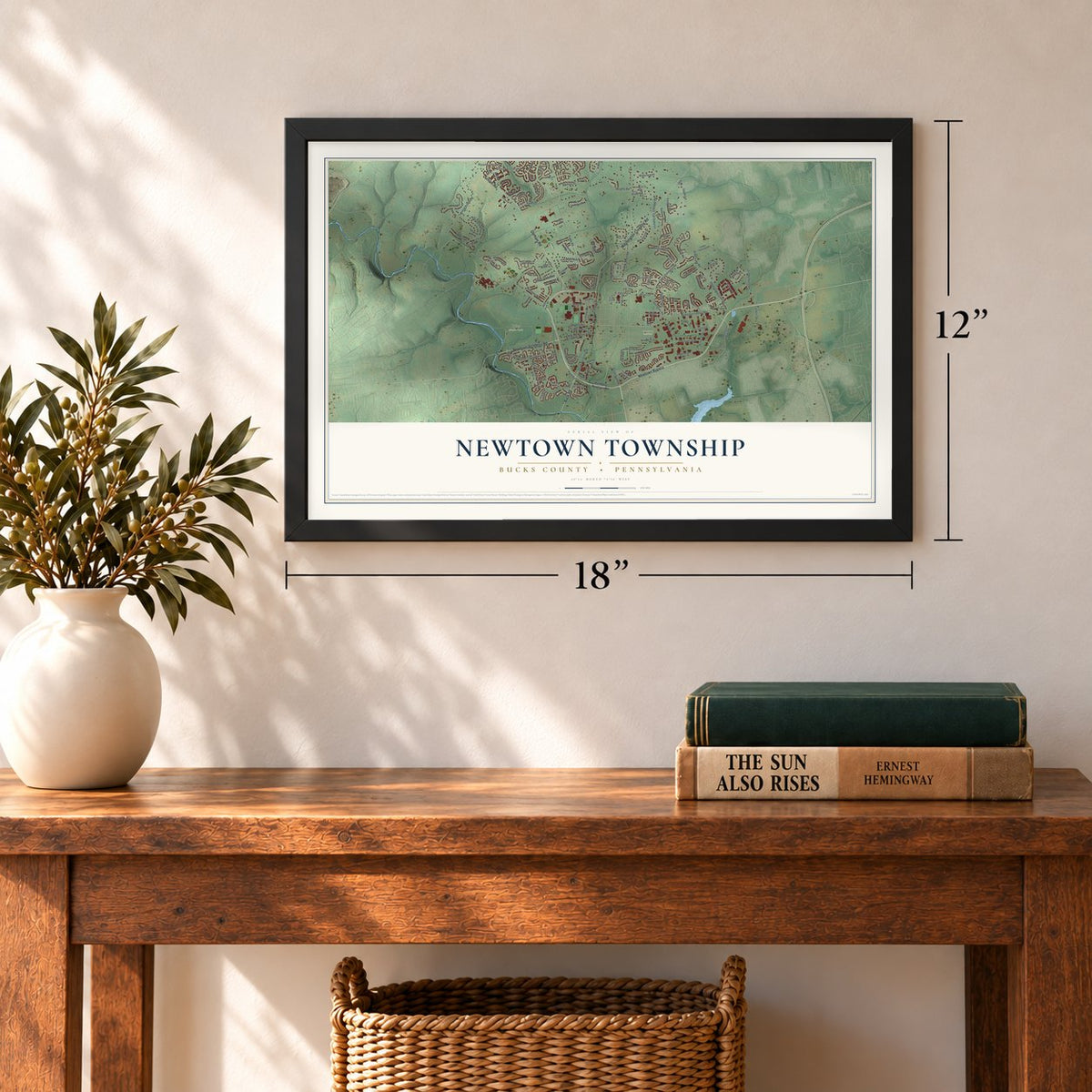
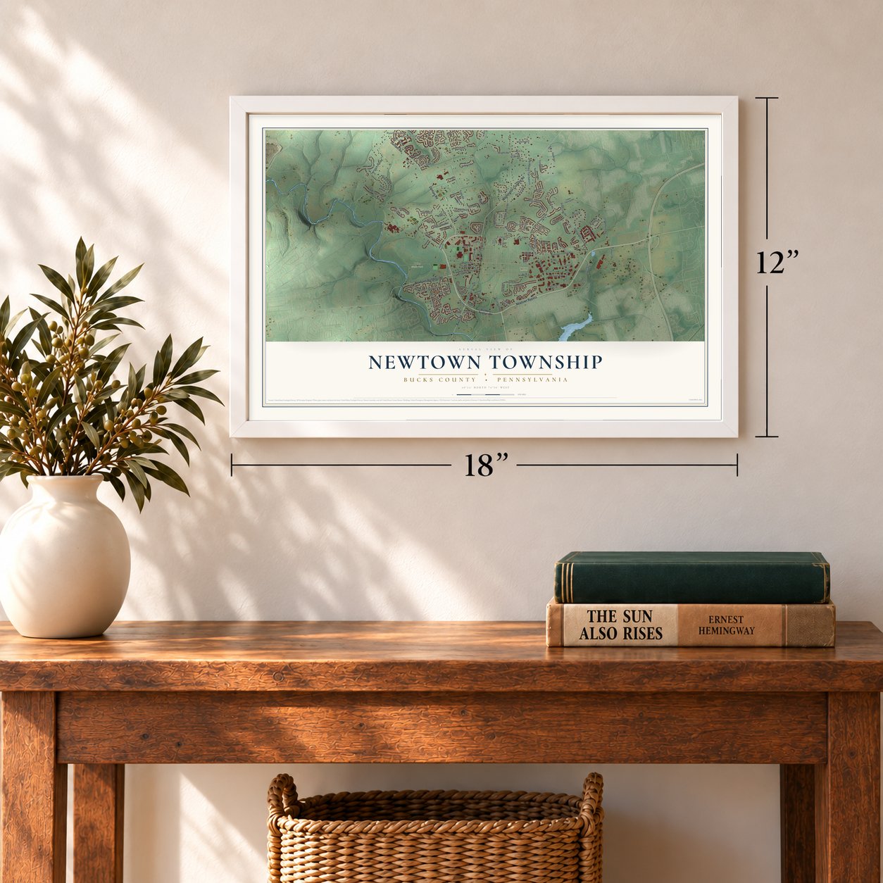
Three ways to hang it
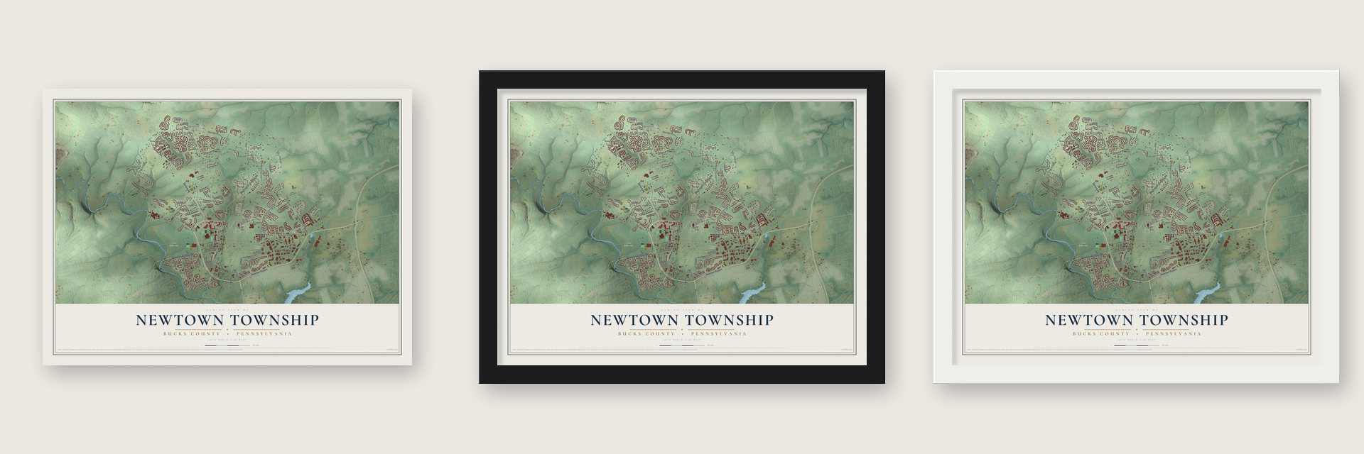
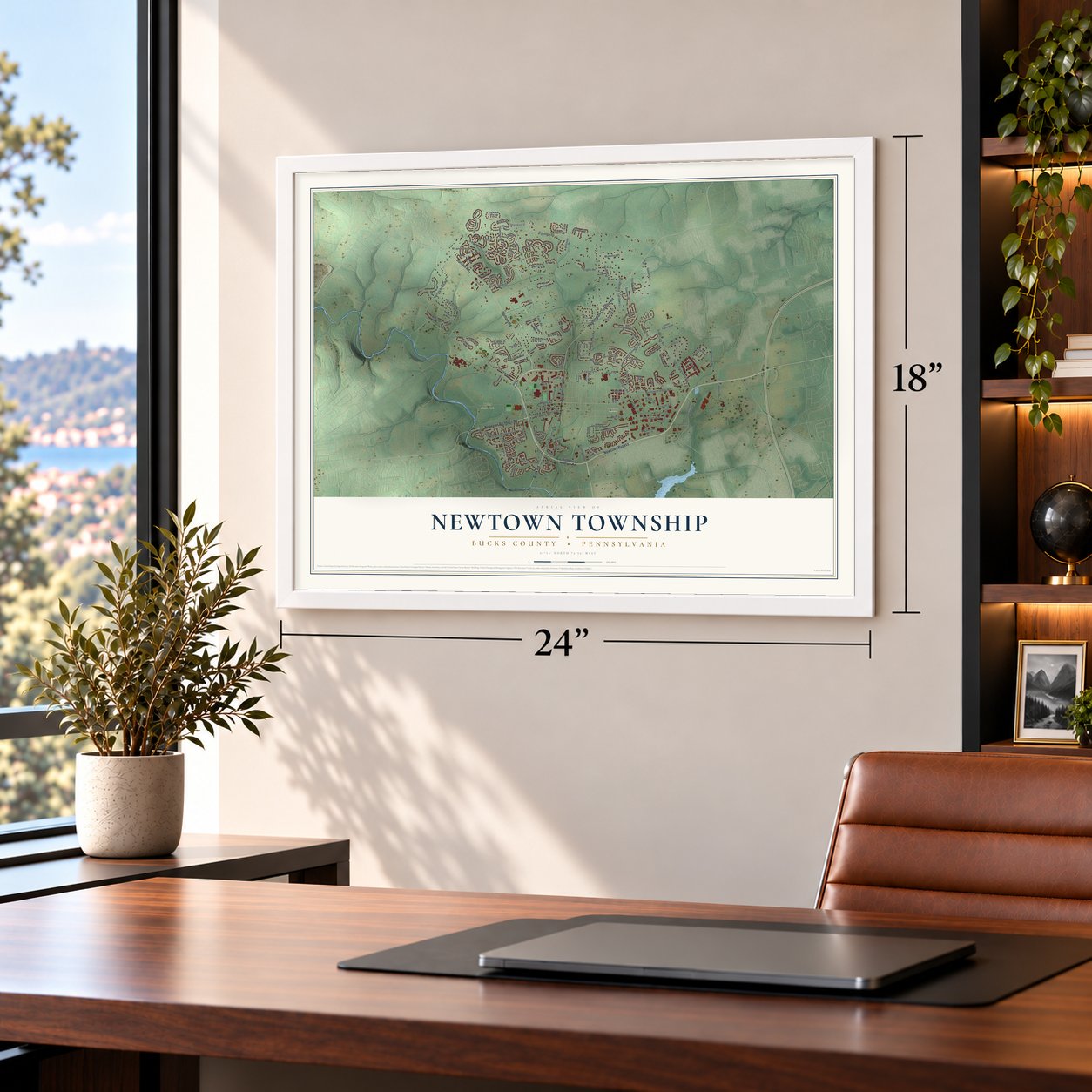
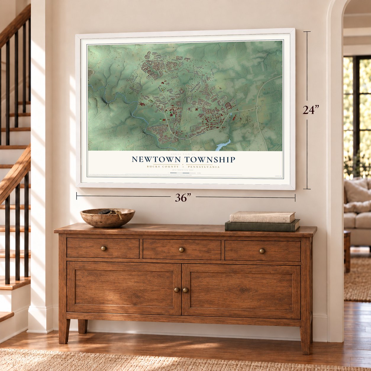
Unframed archival matte, a black wood frame or a white wood frame.
Up close
Geography Worth Displaying
This map was created using accurate cartographic data and authoritative geographic sources, including the U.S. Geological Survey and the Census Bureau. The map brings together terrain, waterways, roads, and building detail. The majority of the streets are labeled, houses are accurately depicted, and the topography is derived from government sources. Combining local data with carefully composed color and shading leads to this beautifully detailed Newtown artwork for your wall.
Rather than simply showing street outlines, we’ve included as many of the street names as we could reasonably fit on the map while keeping their names legible. Zoom in on the high resolution preview to see exactly what’s on the map. We truly set out to create a statement piece for anyone who loves Newtown. So whether it’s for you, or a gift for someone you love, we hope this map of Newtown brings back fond memories.
Read the story behind this map of Newtown Township, Bucks County, Pennsylvania from 2026.
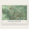
Find your street
Names on the Newtown map
Every name below is printed on this map. Look for your street, your school, the park where you played, or the pond down the road.
Places and landmarks7
- Stoopville
- Newtown Grant
- Newtown Cemetery
- Tyler State Park
- Veteran's Park
- Ryans Corner
- Edgeboro
Streets and roads164
- Durham Road
- Newtown Bypass
- Newtown Richboro Road
- Buck Road
- Washington Crossing Road
- South Sycamore Street
- North Sycamore Street
- Newtown Yardley Road
- Swamp Road
- Silver Lake Road
- Richboro Newton Road
- West Hanover Street
- Linton Hill Road
- Mill Pond Road
- Willow Drive
- Stanford Drive
- Stoopville Road
- Eagle Road
- Wrights Road
- North Drive
- Cambridge Lane
- Upper Silver Lake Road
- Parkview Way
- Twining Bridge Road
- Lower Dolington Road
- Penns Trail
- Jonquil Drive
- Harmony Way
- Burgundy Lane
- South Drive
Show all 164 streets
- Delaney Drive
- Penn Street
- Sibelius Drive
- Sequoia Drive
- Terry Drive
- Friends Lane
- Claire Drive
- Pheasant Run
- Cliveden Drive
- Sentinel Avenue
- Frost Lane
- Merion Drive
- Cypress Place
- Lindenhurst Road
- Gauks Lane
- Autumn Drive
- Grant Street
- Kirkwood Drive
- Saxony Drive
- Devon Road
- Colonial Drive
- Taylor Avenue
- Chatham Place
- Everett Drive
- Dolington Road
- Valley View Way
- German Avenue
- Tall Oaks Lane
- Hemlock Drive
- Liberty Drive
- West Road
- Cherry Lane
- High Street
- Sterling Street
- Green Lane
- Campus Drive
- Waterford Place
- Eldridge Road
- Tulip Drive
- Winding Lane
- Daulton Street
- Pickering Drive
- Elfreths Court
- Union Street
- South State Street
- Justice Drive
- Foxhall Road
- Merion Place
- Walker Lane
- Millers Road
- Kuhars Way
- York Street
- Maple Lane
- Richboro Newtown Road
- Lower Silver Lake Road
- Society Place
- Fountain Farm Lane
- Copperleaf Drive
- Millstone Drive
- Eagleton Farm Road
- Diamond Drive
- Crittenden Drive
- Yorkshire Drive
- Amy Circle
- Hartford Lane
- Meridian Circle
- South Eagle Road
- David Drive
- Alyssa Drive
- Saint Andrews Place
- Lower Twining Road
- Skyview Way
- Teaberry Lane
- Pennswood Drive
- Zinnia Drive
- East Hanover Street
- Essex Place
- Barclay Street
- Brecknock Court
- Blacksmith Road
- Rosefield Drive
- Alexander Way
- Manor Road
- Sawmill Lane
- Franklin Court
- Hutchison Drive
- Silo Drive
- Davis Lane
- Quaker Drive
- Tara Boulevard
- Main Park Road
- Blayze Court
- Jase Drive
- North Lincoln Avenue
- Laurel Circle
- Columbine Circle
- Heather Court
- Amaryllis Lane
- Hidden Valley Lane
- Crocus Lane
- Quince Circle
- Municipal Drive
- Magnolia Drive
- Clymer Street
- Aster Way
- Hidden Turn
- Julianne Court
- Burns Lane
- Iris Court
- Bayshore Drive
- Rittenhouse Circle
- Marigold Drive
- Wexley Drive
- Atkinson Lane
- Providence Court
- Susanna Way
- Hillcroft Way
- Water Lily Way
- Winchester Lane
- Hartfeld Road
- King Charles Lane
- Nathan Court
- Warwick Court
- Braeburn Lane
- Opal Court
- Kanon Court
- Madison Court
- North Congress Street
- Spring House Road
- Stockton Court
- University Drive
- Remy Place
- Lotus Place
- Sutton Court
Names are listed as they appear on the printed map. Zoom into the product photos to find them.
About Newtown Township, Bucks County, Pennsylvania
Newtown Township occupies 12 square miles in Bucks County and had 19,895 residents in the 2020 census. Its history goes back to 1683, when William Penn bought 5,000 acres from the Lenape and called the tract "my New Township." The township now surrounds the separately governed Newtown Borough, while Newtown Grant, Stoopville, Tyler State Park, and Dripping Spring distinguish its landscape.
- A County SeatNewtown was the Bucks County seat from 1726 until the court relocated to Doylestown in 1813.
- Borough FormedThe commercial center and a number of homes became Newtown Borough in 1838, creating a municipality governed separately from the surrounding township.
- Creeks and ParksNatural features include Core Creek, Neshaminy Creek, and Newtown Creek, while local recreation areas include Tyler State Park and Veterans Park.
- Public RoadsIn 2018, Newtown Township had 87.36 miles of public roads, including 71.21 miles maintained by the township.
- Dripping SpringA Bucks County place-name record describes Dripping Spring near the mill dam as a natural curiosity that attracted visitors.
Keep exploring Pennsylvania
Newtown Township is one of 3,725 Pennsylvania towns we've mapped. Every dot on the map is a print of its own.
The search covers every state, Pennsylvania first.
Near Newtown Township
Order 2 or more town maps and save 10%. Shown in the size and finish you picked above, so they hang as a set.
- Newtown Borough 12" x 18" / Archival Matte Print $39.99
- Newtown Grant 12" x 18" / Archival Matte Print $39.99
- Richboro 12" x 18" / Archival Matte Print $39.99
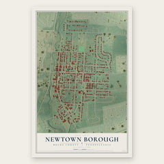
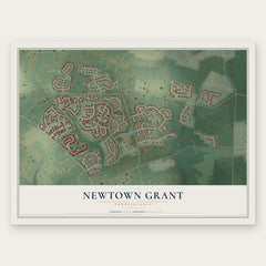
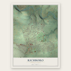
More maps nearby: Village Shires, Upper Makefield, Woodbourne, Northampton and Wrightstown.
The art of mapping a place
How This Map Was Made
Real places. Remarkable detail. Discover the layers that turn geographic data into a map of home.

The view from above
Aerial imagery reveals the character of the land: woodland, open fields, and the patterns of a place.

The shape of the land
Elevation data brings hills, valleys, and subtle changes in the landscape into view.

The details of home
Roads, waterways, and building footprints come together to make the map feel unmistakably local.

Geography becomes art
Considered color, shading, and typography bring the layers together in a map made for your wall.


Process illustrated with Mendon, Massachusetts. Aerial imagery: USDA NAIP. Terrain: USGS 3D Elevation Program. Map details and finished artwork: KNOWOL.
The Details
About This Print
Choose an archival matte print, or a black or white Ayous wood frame. The archival matte print is unframed.
Select your size and finish above to see the matching product image and price.
Materials & Craftsmanship
A contemporary map with the character of a classic atlas, printed on archival matte paper. Optional frames are made from Ayous wood.
Your printed map does not include the watermark shown in the full-map preview.
Shipping & Delivery
Free shipping within the United States. Every print is made to order in the USA.
Buying a gift? Add a note in your cart and we'll include it. We never put prices in the package.
Prints ship within 2 to 3 business days. Allow 7 to 10 days total from ordering for delivery. Timing may vary during holidays or periods of high order volume.
Read our shipping policy.
Returns and damaged prints
Each print is made to order. Change-of-mind refunds are not available after production.
If your print arrives damaged, misprinted or incorrect, contact support@knowol.com within 30 days of receiving it. Include your order number, photos and a description of the issue.
Read our full refund and replacement policy. For questions about your order, email support@knowol.com.