
Search for another town





Free U.S. delivery 7 to 10 days after you order
North Beaver, Pennsylvania Map Art
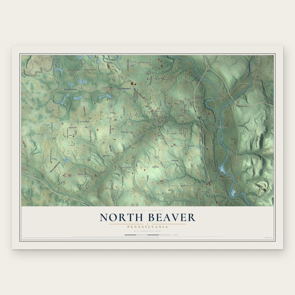
Building by building, with labeled streets and shaded relief.
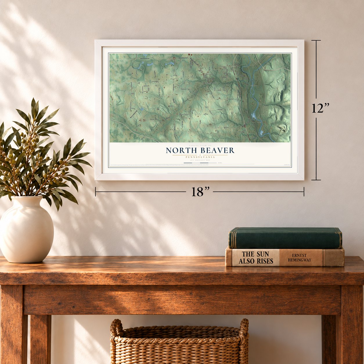
12" x 18" Archival Matte Print
A Map of Home. A Work of Art.
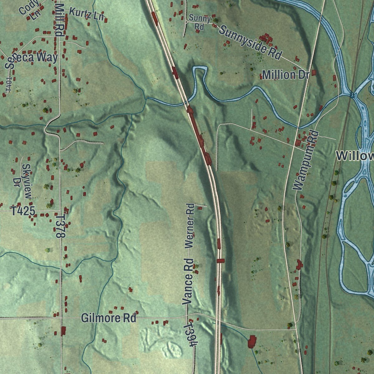
Explore North Beaver, Pennsylvania from a whole new perspective. Created using aerial imagery and detailed geographic data, this map captures North Beaver building by building, with labeled streets, familiar landmarks, and shaded topographical relief that highlights the natural contours of the landscape.
Combining modern data with the timeless character of a vintage atlas, this map is just as interesting up close as it is beautiful on the wall. Whether you grew up in North Beaver, spent memorable years there, or call it home today, this unique map is a great way to celebrate a place that means something to you. Zoom in on the preview to look for your street, and then order a print to put your memories on the wall.

Three ways to hang it
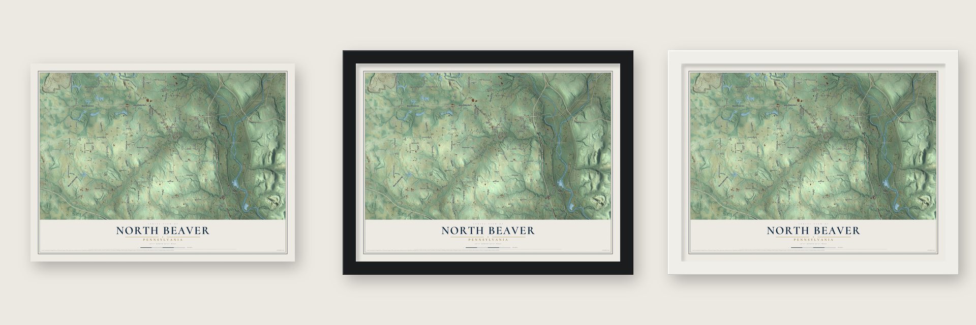
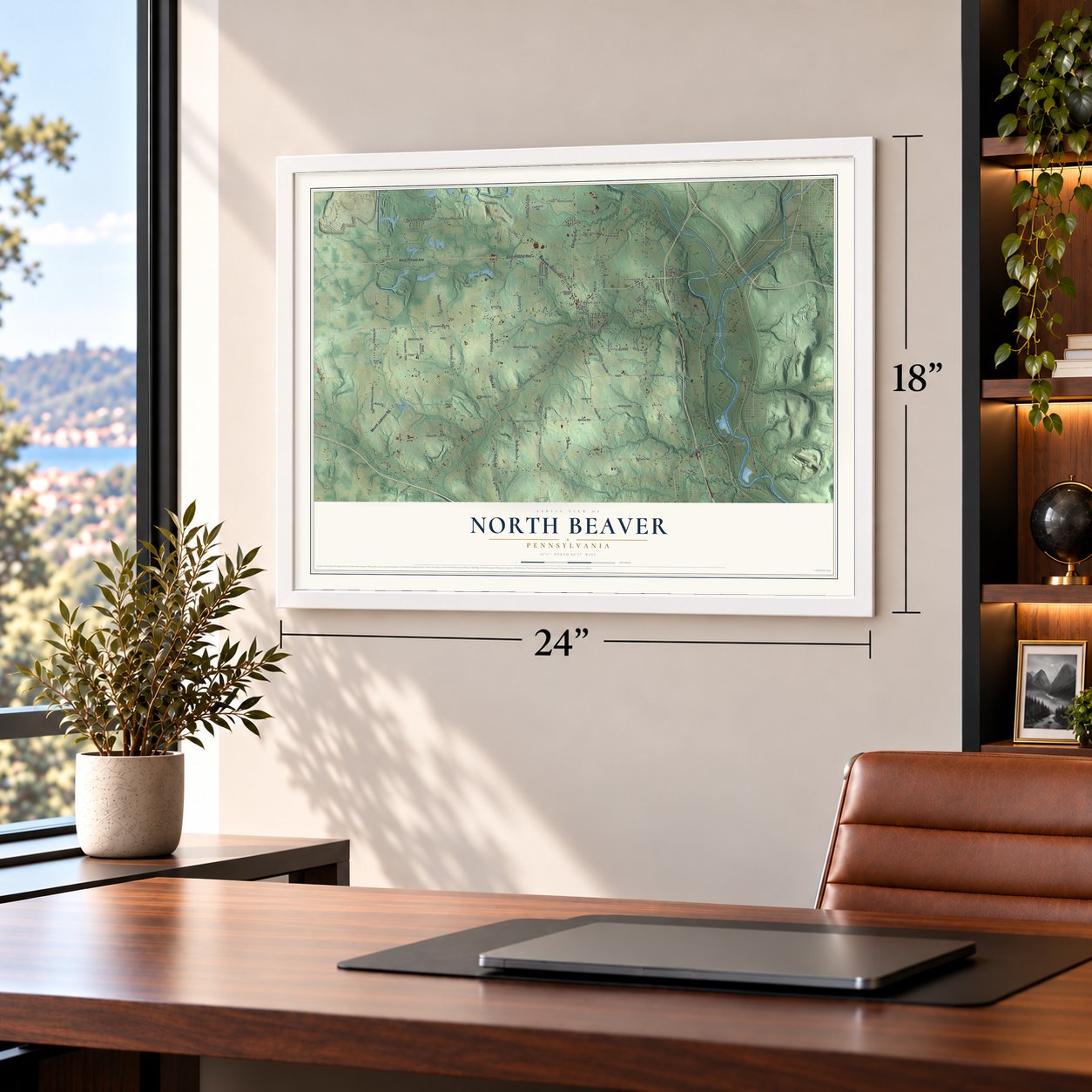
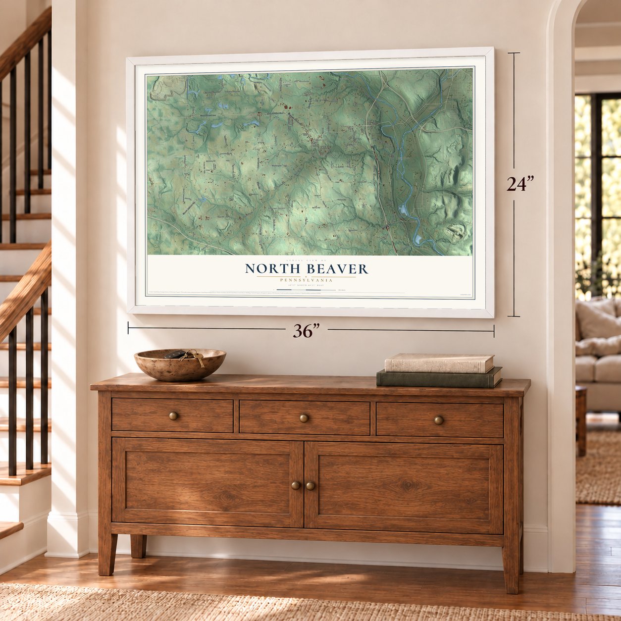
Unframed archival matte, a black wood frame or a white wood frame.
Up close
Geography Worth Displaying
This map was created using accurate cartographic data and authoritative geographic sources, including the U.S. Geological Survey and the Census Bureau. The map brings together terrain, waterways, roads, and building detail. The majority of the streets are labeled, houses are accurately depicted, and the topography is derived from government sources. Combining local data with carefully composed color and shading leads to this beautifully detailed North Beaver artwork for your wall.
Rather than simply showing street outlines, we’ve included as many of the street names as we could reasonably fit on the map while keeping their names legible. Zoom in on the high resolution preview to see exactly what’s on the map. We truly set out to create a statement piece for anyone who loves North Beaver. So whether it’s for you, or a gift for someone you love, we hope this map of North Beaver brings back fond memories.
Read the story behind this map of North Beaver, Pennsylvania from 2026.

Find your street
Names on the North Beaver map
Every name below is printed on this map. Look for your street, your school, the park where you played, or the pond down the road.
Places and landmarks7
- Coverts
- Derringer Corners
- Jackson Knolls Gardens
- Moravia
- Mount Jackson
- Sunnyside
- Willow Grove
Streets and roads97
- Mount Jackson Road
- Galilee Road
- Edinburg Road
- Enon Road
- West Poland Avenue
- East Poland Avenue
- Mohawk School Road
- State Line Road
- Stateline Road
- Sunnyside Road
- Brewster Road
- Coverts Road
- Moravia Road
- Cleland Mill Road
- South State Line Road
- Mount Air Road
- Columbiana Road
- Smalls Ferry Road
- Paden Road
- Wampum Road
- Petersburg Road
- McClain Road
- Gilmore Road
- Covert Road
- Hope Road
- River Road
- Vance Road
- New Road
- Hoffmaster Road
- Howard Drive
Show all 97 streets
- Reed Road
- Trotter Road
- Kyle Road
- Halltown Road
- Wallace Road
- Fullerton Road
- McKim Road
- Westfield Road
- West Beechwood Road
- Crum Road
- East Beechwood Road
- McCurley Road
- Witherspoon Road
- Kildoo Road
- South Main Street
- Hillsville Road
- Dollard Lane
- Nora Drive
- Burkey Road
- Len Ann Drive
- Seneca Way
- Logan Road
- Myers Lane
- Rainey Lane
- Mallory Road
- Mill Street
- Ross Drive
- Million Drive
- McClelland Road
- Musser Road
- Tradewind Road
- Martin School Road
- Werner Road
- East Main Street
- Terrace Drive
- Hickory View Road
- Skyview Drive
- McQuiston Lane
- Miro Lane
- Leeper Drive
- Kurtz Lane
- Hillcrest Acres
- Hickory View Drive
- Cini Lane
- Cody Lane
- Harvest Ridge
- Johns Lane
- Bryan Street
- Hayes Lane
- Magno Lane
- Martin Road
- Bright Lane
- Pike Avenue
- Wear Drive
- Old Hickory Road
- Sunny Road
- Timberland Trail
- Lakeview Street
- Pusnik Lane
- Grinnen Drive
- Harman Lane
- McMurray Lane
- Charles Street
- James Circle
- Denton Lane
- Shiderly Lane
- Ohylor Drive
Names are listed as they appear on the printed map. Zoom into the product photos to find them.
About North Beaver, Pennsylvania
North Beaver is a township of 3,962 people in Lawrence County, along the Mahoning and Beaver rivers. It was formed in 1799, when Beaver County set up its first townships. In 1804 the land was divided at the Beaver River, and the west bank became Shenango Township. When Lawrence County was created in 1849, both townships became part of it.
An 1877 county history called North Beaver the largest township in Lawrence County, covering about twenty-six thousand eight hundred acres. Hills and ravines broke up much of the land, while the southern and western parts lay closer to level. The writer judged its farmland as good as any in the county and praised its fruit crop. Hickory Creek and the two rivers supplied water, and some of the streams had excellent water power.
- The City of Peace, 1770In 1770 the Rev. David Zeisberger led Christian Delaware Indians here from the upper Allegheny. They settled on the river's east bank on May 3 and crossed to the west side about three months later. They called their village Friedensstadt, or Languntoutenunk. The Rev. John Heckewelder led them away in April 1773 to new towns on the Muskingum in Ohio, and in 1782 Pennsylvania militia killed some of them there. Two state historical markers now stand north of Moravia.
- Moravia grew around a depotThe Erie and Pittsburgh railway's Beaver Valley division ran over the Mahoning near its mouth, then along the Beaver River through the township. Moravia was the line's only stop in North Beaver, and by 1877 a small village had grown up around the station. The old Lawrence railway crossed the northeast corner. The same 1877 history called Mount Jackson the most important village in the township.
- A borough for a liquor licenseNorth Beaver Township restricts the sale of alcohol. In 1977 the Slovene National Benefit Society asked for its recreation center here to become a separate municipality. The state created the borough of S.N.P.J., which allowed the society to get its own liquor license.
Keep exploring Pennsylvania
North Beaver is one of 3,725 Pennsylvania towns we've mapped. Every dot on the map is a print of its own.
The search covers every state, Pennsylvania first.
Near North Beaver
Order 2 or more town maps and save 10%. Shown in the size and finish you picked above, so they hang as a set.
- Mount Jackson 12" x 18" / Archival Matte Print $39.99
- Bessemer 12" x 18" / Archival Matte Print $39.99
- S.N.P.J. 12" x 18" / Archival Matte Print $39.99

More maps nearby: Edinburg, Taylor, West Pittsburg, Union and Hillsville.
The art of mapping a place
How This Map Was Made
Real places. Remarkable detail. Discover the layers that turn geographic data into a map of home.

The view from above
Aerial imagery reveals the character of the land: woodland, open fields, and the patterns of a place.

The shape of the land
Elevation data brings hills, valleys, and subtle changes in the landscape into view.

The details of home
Roads, waterways, and building footprints come together to make the map feel unmistakably local.

Geography becomes art
Considered color, shading, and typography bring the layers together in a map made for your wall.


Process illustrated with Mendon, Massachusetts. Aerial imagery: USDA NAIP. Terrain: USGS 3D Elevation Program. Map details and finished artwork: KNOWOL.
The Details
About This Print
Choose an archival matte print, or a black or white Ayous wood frame. The archival matte print is unframed.
Select your size and finish above to see the matching product image and price.
Materials & Craftsmanship
A contemporary map with the character of a classic atlas, printed on archival matte paper. Optional frames are made from Ayous wood.
Your printed map does not include the watermark shown in the full-map preview.
Shipping & Delivery
Free shipping within the United States. Every print is made to order in the USA.
Buying a gift? Add a note in your cart and we'll include it. We never put prices in the package.
Prints ship within 2 to 3 business days. Allow 7 to 10 days total from ordering for delivery. Timing may vary during holidays or periods of high order volume.
Read our shipping policy.
Returns and damaged prints
Each print is made to order. Change-of-mind refunds are not available after production.
If your print arrives damaged, misprinted or incorrect, contact support@knowol.com within 30 days of receiving it. Include your order number, photos and a description of the issue.
Read our full refund and replacement policy. For questions about your order, email support@knowol.com.