
Search for another town




Free U.S. delivery 7 to 10 days after you order
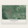
North Bend, Washington Map Art
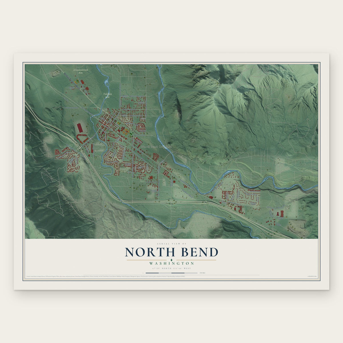
A new map of North Bend, Washington, made in 2026 and printed to order on thick archival matte paper.
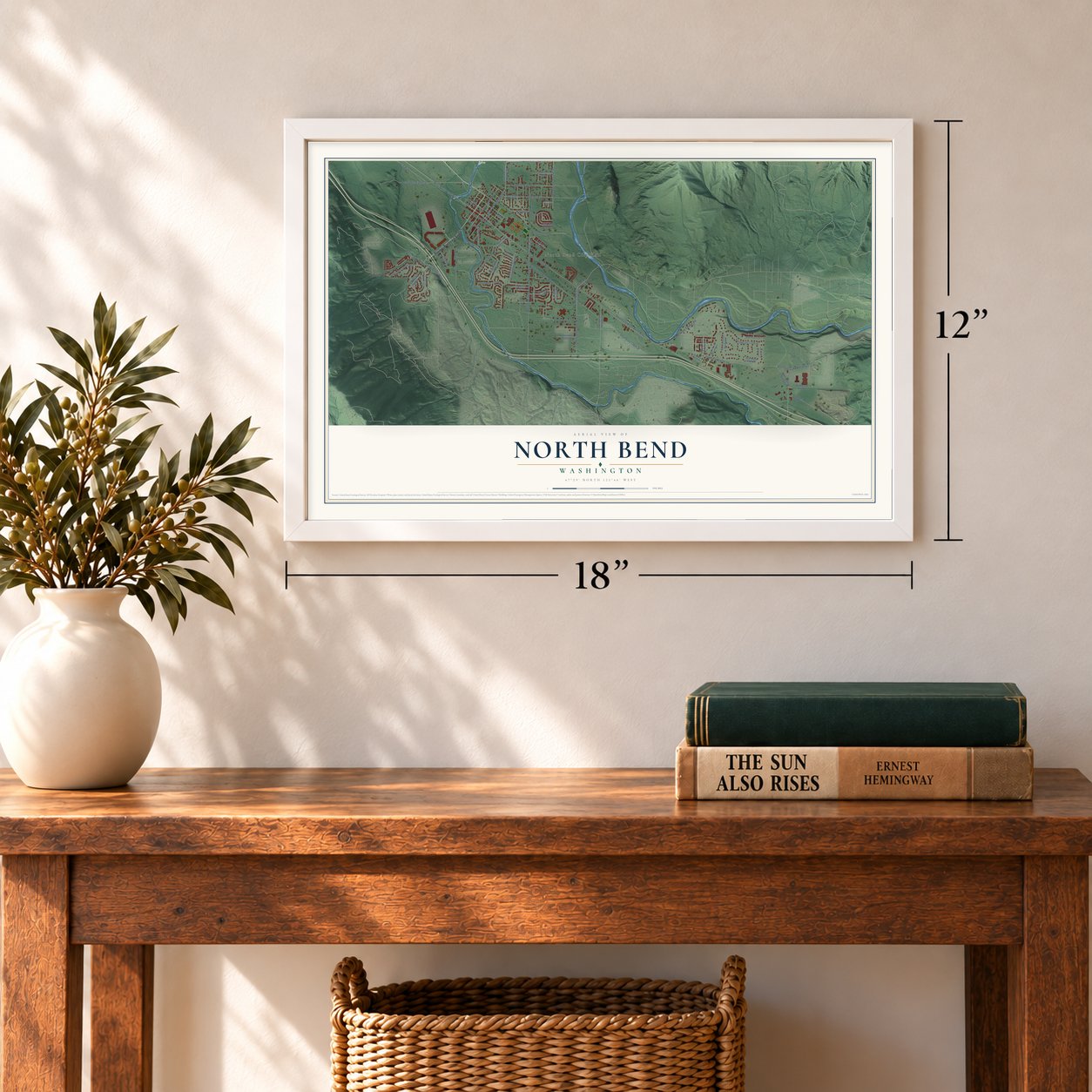
12" x 18" Archival Matte Print
A Map of Home. A Work of Art.
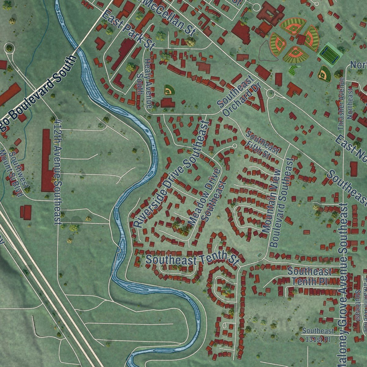
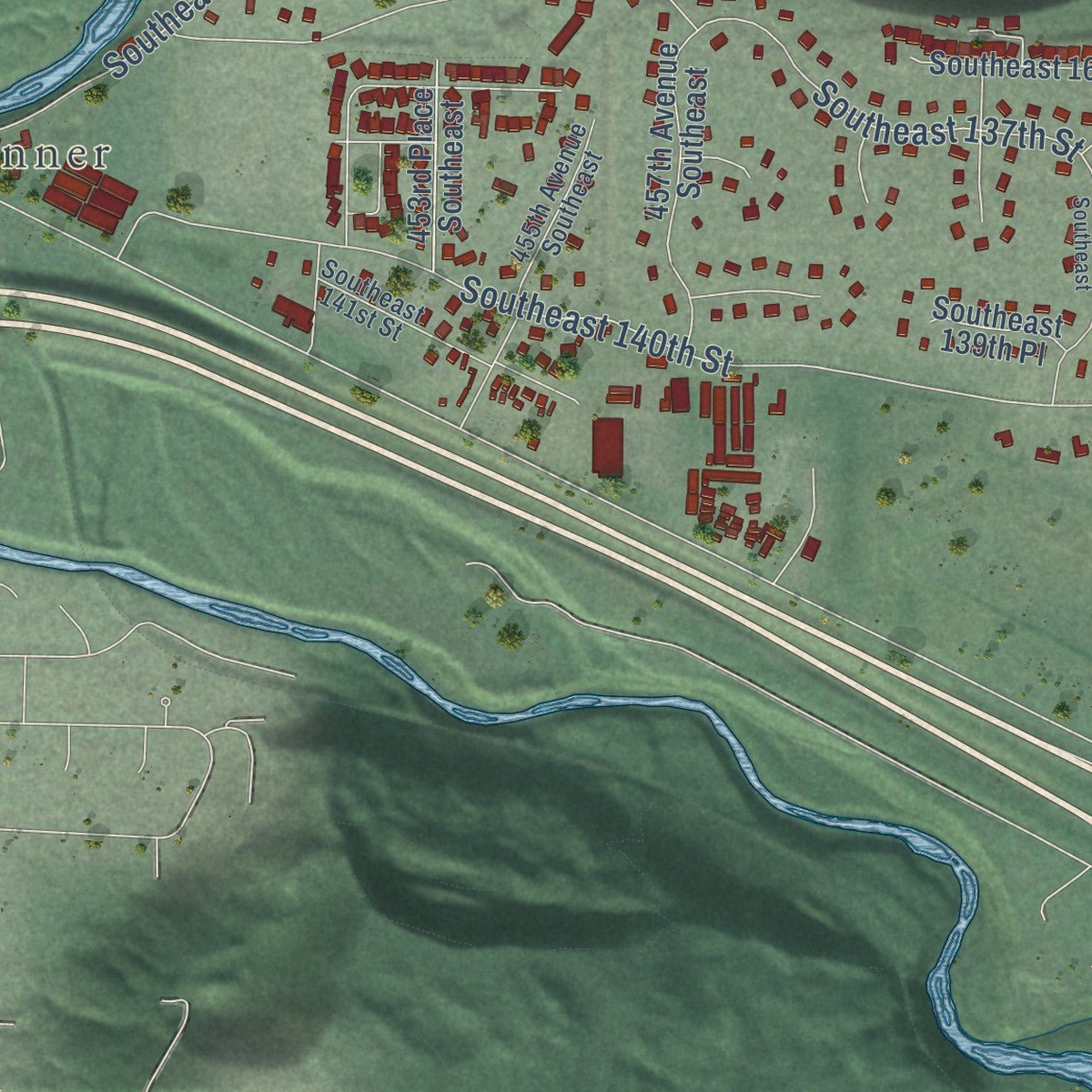
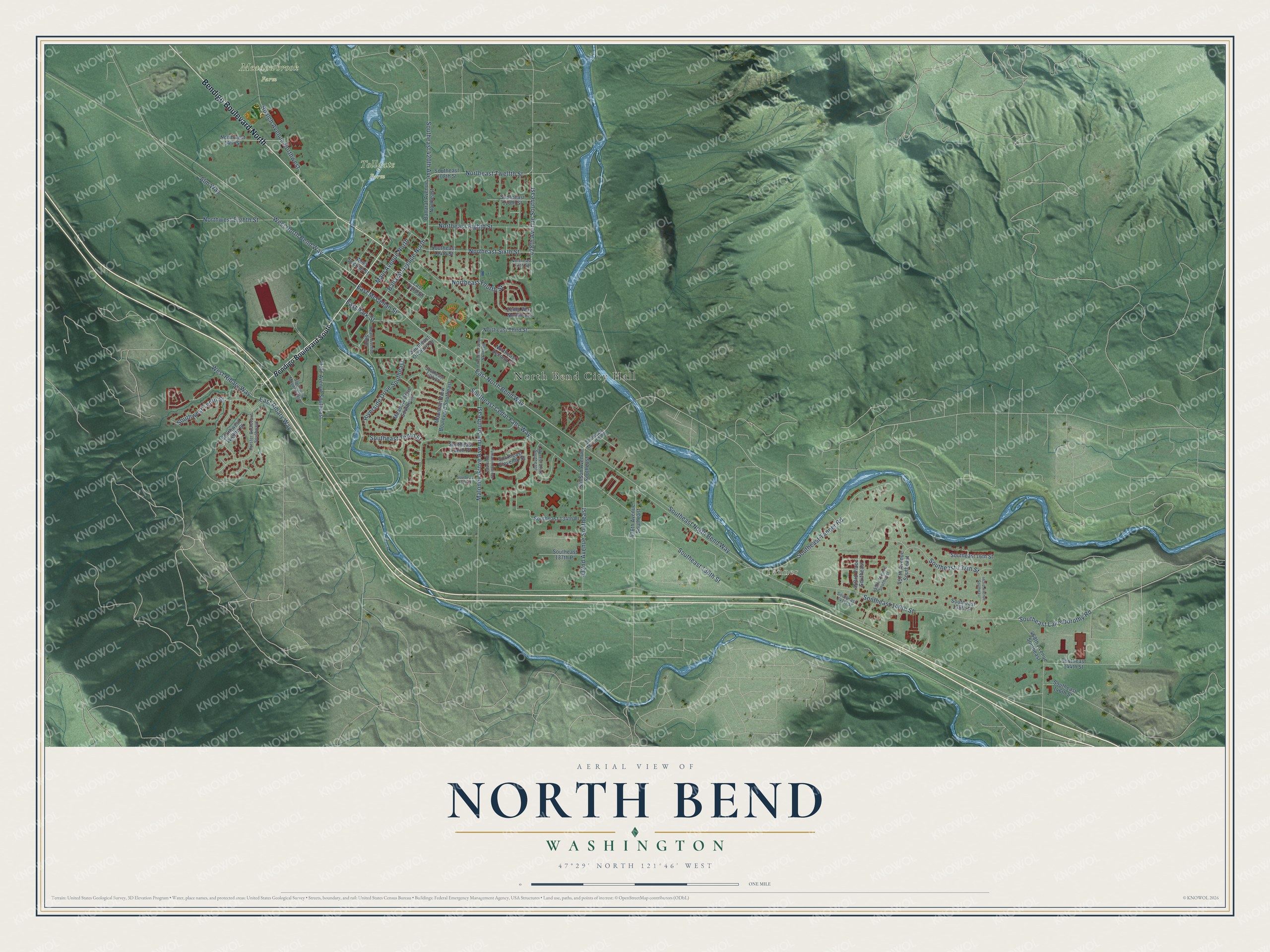
Explore North Bend, Washington from a whole new perspective. Created using aerial imagery and detailed geographic data, this map captures North Bend building by building, with labeled streets, familiar landmarks, and shaded topographical relief that highlights the natural contours of the landscape.
Combining modern data with the timeless character of a vintage atlas, this map is just as interesting up close as it is beautiful on the wall. Whether you grew up in North Bend, spent memorable years there, or call it home today, this unique map is a great way to celebrate a place that means something to you. Zoom in on the preview to look for your street, and then order a print to put your memories on the wall.
Three ways to hang it
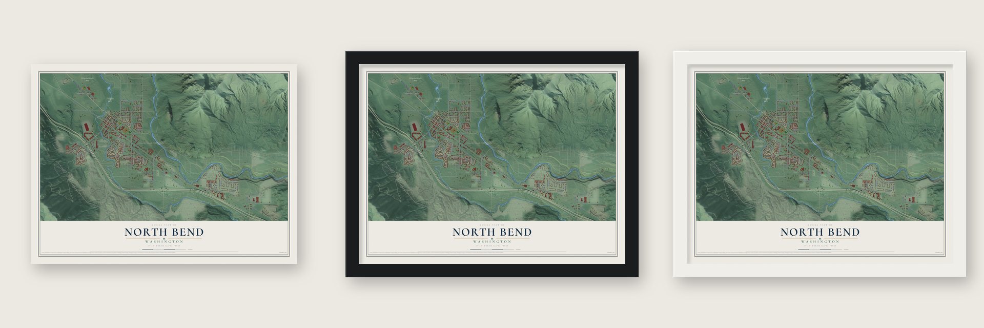
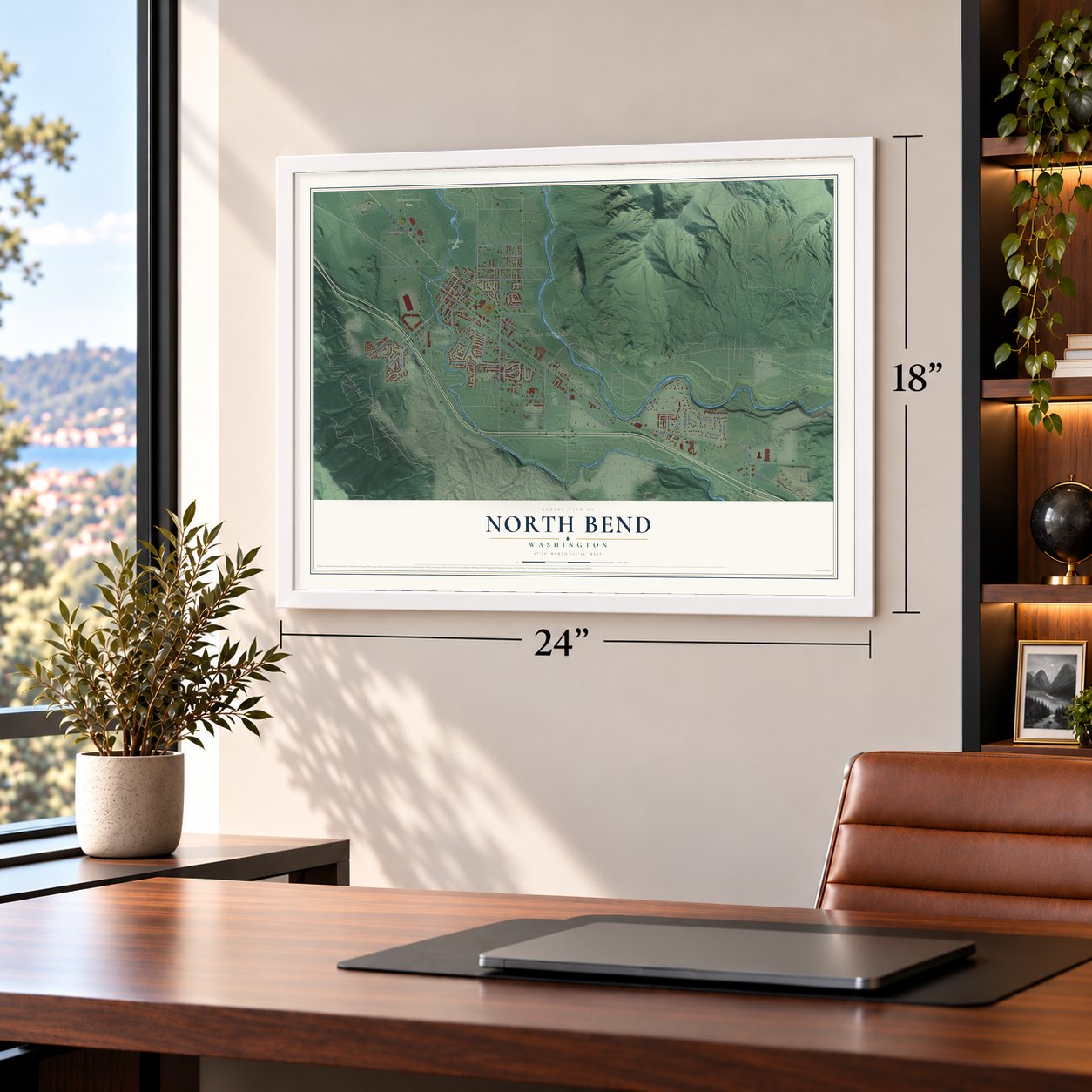
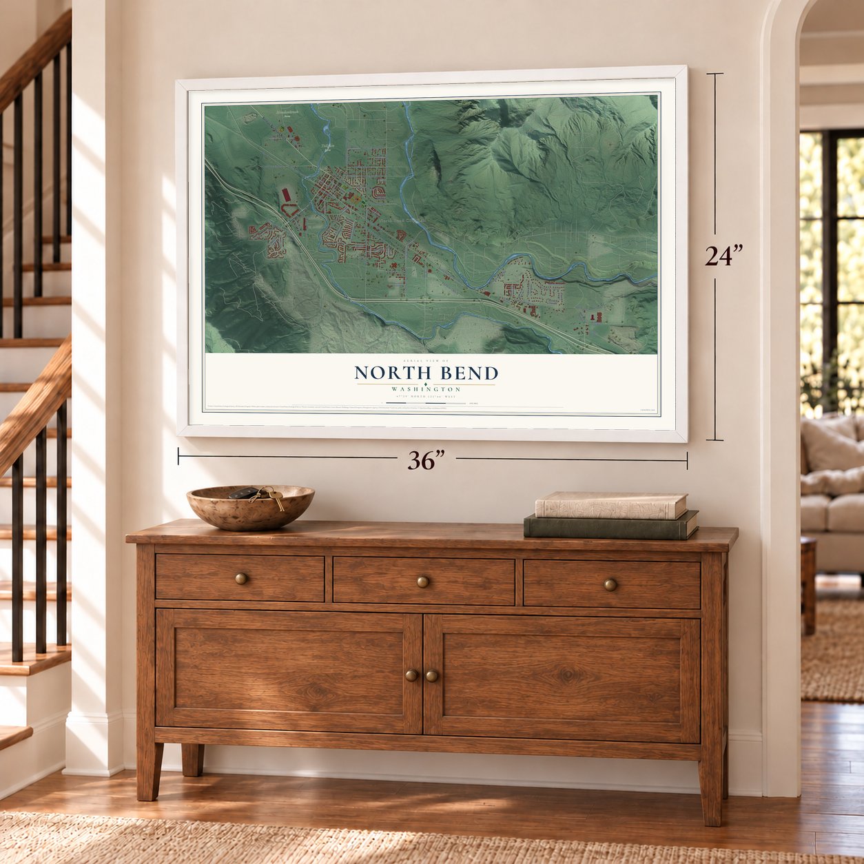
Unframed archival matte, a black wood frame or a white wood frame.
Up close
Geography Worth Displaying
This map was created using accurate cartographic data and authoritative geographic sources, including the U.S. Geological Survey and the Census Bureau. The map brings together terrain, waterways, roads, and building detail. The majority of the streets are labeled, houses are accurately depicted, and the topography is derived from government sources. Combining local data with carefully composed color and shading leads to this beautifully detailed North Bend artwork for your wall.
Rather than simply showing street outlines, we’ve included as many of the street names as we could reasonably fit on the map while keeping their names legible. Zoom in on the high resolution preview to see exactly what’s on the map. We truly set out to create a statement piece for anyone who loves North Bend. So whether it’s for you, or a gift for someone you love, we hope this map of North Bend brings back fond memories.
Read the story behind this map of North Bend, Washington from 2026.
About North Bend, Washington
North Bend is a city of 7,461 people in King County, in the upper Snoqualmie Valley below Mount Si. The Snoqualmie Tribe hunted, picked berries and dug roots on the prairie here, and the old trails over the Cascade passes ran across it. In 1865 Matts Peterson, a Dane who had once sailed with the British Royal Navy, built the first cabin where downtown now stands, and he later sold the farm to Jeremiah Borst.
Borst handed that farm to William H. Taylor in 1880 as pay for earlier work, and Taylor and his wife Molly added a trading post to the cabin for travelers crossing Snoqualmie Pass. When the Seattle, Lake Shore & Eastern Railroad wanted a station on their land, the Taylors platted a townsite called Snoqualmie on February 16, 1889, and the first train came that summer. A rival town four miles downstream took the name Snoqualmie Falls, so the railroad asked Taylor to rename his. Mountain View was rejected, and the town became North Bend, after the river's northward bend. It was incorporated on March 12, 1909.
“had to cross the river below the Falls, he had to go to an Indian camp and have them put him across, or make a raft, straddle it, and paddle across”
- Uncle Si's mountainJosiah Merritt, whom everyone called Uncle Si, came in 1862 and claimed land by the Middle Fork of the Snoqualmie, right under the great peak. Neighbors began calling it Uncle Si's mountain, and over time that became Mount Si, which rises to 4,167 feet. Merritt grew potatoes, vegetables and fruit and kept hogs there until he died in 1882.
- Fort Smalley at Toll Gate FarmIn 1855 and 1856 the U.S. Army built three log blockhouses in the valley, fearing a Yakama attack over the passes. One, Fort Smalley, stood near today's North Bend at what became Toll Gate Farm. The attack never came, and the forts were left empty within a year. Joseph Fares and his wife Lucinda, Borst's niece, then built a cabin beside Fort Smalley and turned the old fort into their barn.
- Streets named for AustraliaWhen the Taylors drew up their 1889 plat, Will Taylor was taken with Australia, so he gave three streets the names Ballarat, Bendigo and Sydney. He later said he had been foolish and wished he hadn't. He also gave the railroad its right-of-way through the town for free.
- McGrath's since 1922Jack and Caroline McGrath bought the site of Taylor's old cabin in October 1921 and opened a one-story cafe there in 1922. In early 1926 they added a hotel lobby and a second floor of rooms, creating the McGrath Hotel. A local couple bought the worn building in 2000 and spent two years restoring it, and it joined the National Register in 2002.
- The Twin Peaks premiereThe North Bend Theatre opened on April 9, 1941, a 400-seat Art Deco house built for $12,000. It has run as an independent movie theater ever since, through seven family owners. Twin Peaks was partly filmed in North Bend, and the theater hosted the premiere of David Lynch's Twin Peaks: Fire Walk With Me.
Find your street
Names on the North Bend map
Every name below is printed on this map. Look for your street, your school, the park where you played, or the pond down the road.
Places and landmarks4
- North Bend City Hall
- Tanner
- Meadowbrook Farm
- Tollgate Farm
Streets and roads72
- Bendigo Boulevard North
- East North Bend Way
- West North Bend Way
- East Ribary Way
- Northeast Twelfth Street
- Southeast Lake Dorothy Road
- Main Avenue North
- West Ribary Way
- Ballarat Avenue North
- 428th Avenue Southeast
- Northwest Eighth Street
- Southeast North Bend Way
- Southeast Tanner Road
- Southeast 140th Street
- Southeast Cedar Falls Way
- Southeast 136th Street
- Southeast Tenth Street
- Northeast Fourth Street
- 432nd Avenue Southeast
- Maloney Grove Avenue Southeast
- Northeast Sixth Street
- Northeast Eighth Street
- Boalch Avenue Northwest
- Alm Way
- Southeast 137th Street
- Southwest Tenth Street
- Riverside Drive Southeast
- East Park Street
- Southeast 420th Avenue
- East McCellan Street
Show all 72 streets
- Bendigo Boulevard South
- Stillson Avenue Southeast
- Ballarat Avenue Northeast
- Southeast 110th Street
- Mountain View Boulevard Southeast
- Southeast 108th Street
- Southeast 114th Street
- Meadow Drive Southeast
- 468th Avenue Southeast
- Southeast 16th Street
- 412th Avenue Southeast
- Southeast Eleventh Street
- 457th Avenue Southeast
- East Third Street
- Southeast Orchard Drive
- Northwest 14th Street
- Zemp Way Northeast
- Southeast 139th Place
- Southeast 134th Place
- Northeast Third Street
- West Second Street
- 436th Avenue Southeast
- Southeast Tenth Place
- Southeast 144th Street
- Southeast 137th Place
- Northeast Second Street
- 453rd Place Southeast
- Southeast 146th Street
- Southwest Twelfth Street
- Southeast Mount Si Road
- Forster Boulevard Southwest
- Laforest Drive Southeast
- 455th Avenue Southeast
- Southwest Mount Si Boulevard
- Southeast 141st Street
- Southeast Fifth Street
- Healy Avenue South
- Northeast Fifth Street
- Thrasher Avenue Northeast
- 463rd Avenue Southeast
- Patkanim Avenue Southeast
- Southeast 131st Place
Names are listed as they appear on the printed map. Zoom into the product photos to find them.
The art of mapping a place
How This Map Was Made
Real places. Remarkable detail. Discover the layers that turn geographic data into a map of home.

The view from above
Aerial imagery reveals the character of the land: woodland, open fields, and the patterns of a place.

The shape of the land
Elevation data brings hills, valleys, and subtle changes in the landscape into view.

The details of home
Roads, waterways, and building footprints come together to make the map feel unmistakably local.

Geography becomes art
Considered color, shading, and typography bring the layers together in a map made for your wall.


Process illustrated with Mendon, Massachusetts. Aerial imagery: USDA NAIP. Terrain: USGS 3D Elevation Program. Map details and finished artwork: KNOWOL.
The Details
About This Print
Choose an archival matte print, or a black or white Ayous wood frame. The archival matte print is unframed.
Select your size and finish above to see the matching product image and price.
Materials & Craftsmanship
A contemporary map with the character of a classic atlas, printed on archival matte paper. Optional frames are made from Ayous wood.
Your printed map does not include the watermark shown in the full-map preview.
Shipping & Delivery
Free shipping within the United States. Every print is made to order in the USA.
Buying a gift? Add a note in your cart and we'll include it. We never put prices in the package.
Prints ship within 2 to 3 business days. Allow 7 to 10 days total from ordering for delivery. Timing may vary during holidays or periods of high order volume.
Read our shipping policy.
Returns and damaged prints
Each print is made to order. Change-of-mind refunds are not available after production.
If your print arrives damaged, misprinted or incorrect, contact support@knowol.com within 30 days of receiving it. Include your order number, photos and a description of the issue.
Read our full refund and replacement policy. For questions about your order, email support@knowol.com.
Find your town
Looking for another city?
Find a map of home in our Washington collection, or any town in the country.
Nearby
Maps of towns near North Bend
Know someone from one of these towns? Their map makes a great gift.
 Riverbend
, Washington
From $39.99See the map
 Riverpoint
, Washington
From $39.99See the map
 Wilderness Rim
, Washington
From $39.99See the map
More maps nearby: Snoqualmie, Fall City, Mirrormont, Hobart and Carnation.