
Search for another town
Free U.S. delivery 7 to 10 days after you order
North Huntingdon, Pennsylvania Map Art
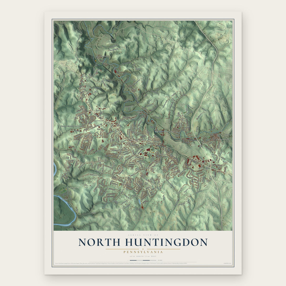
Building by building, with labeled streets and shaded relief.
12" x 18" Archival Matte Print
A Map of Home. A Work of Art.
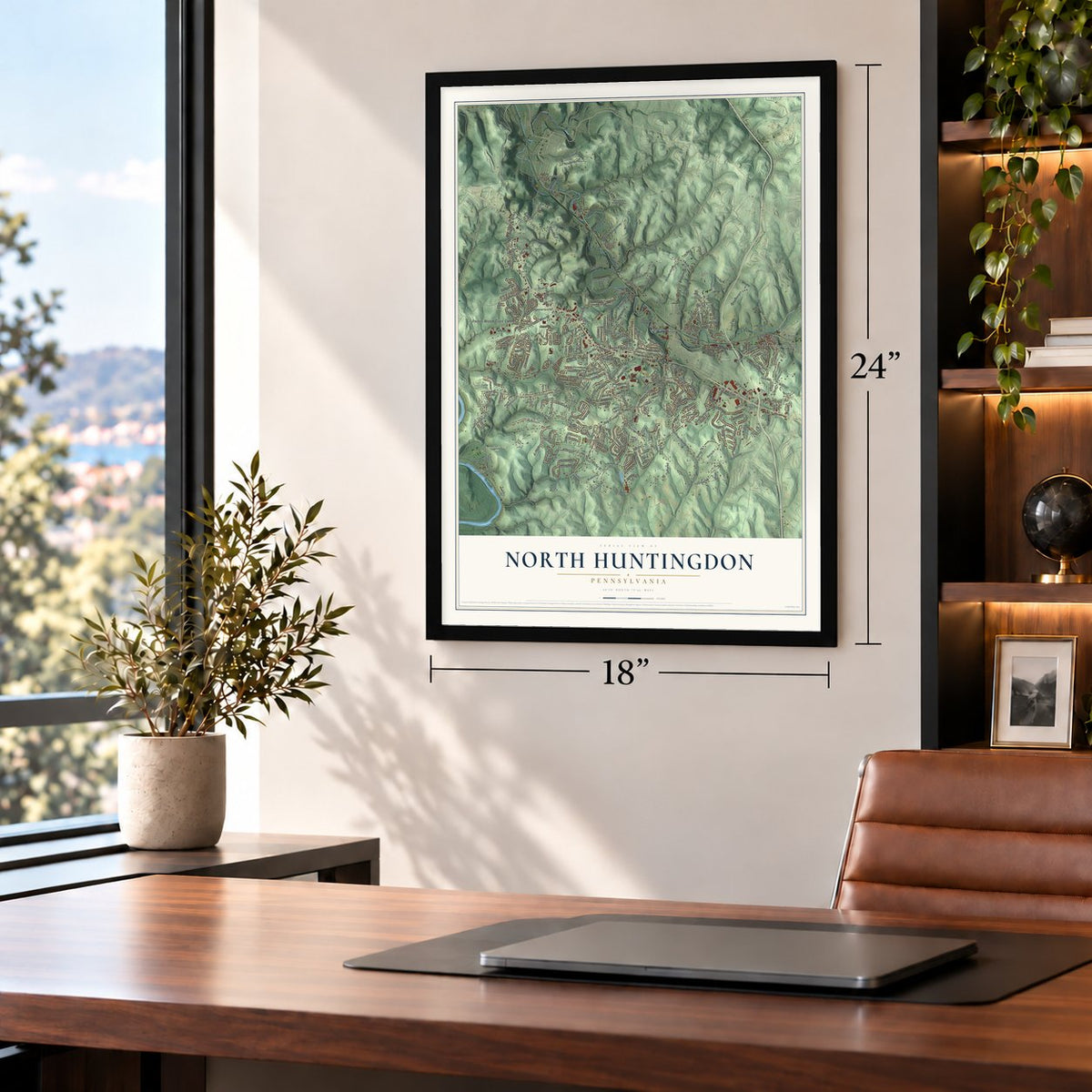
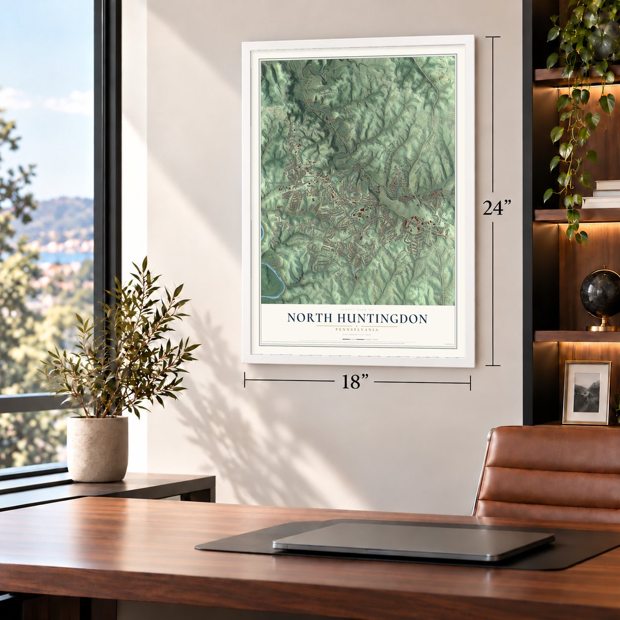
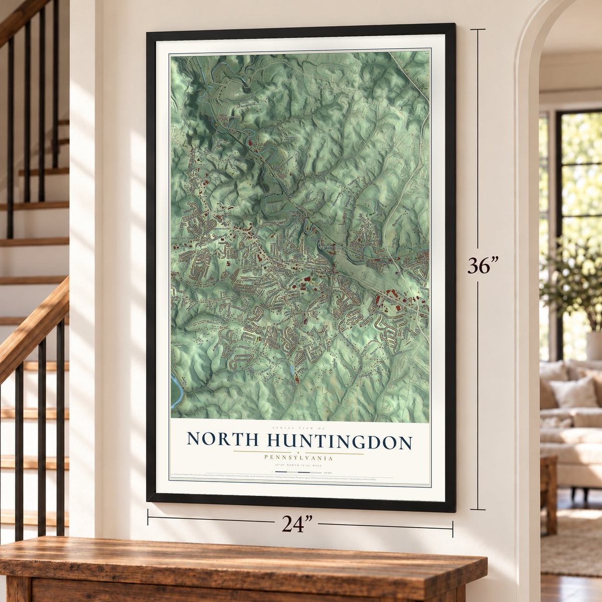
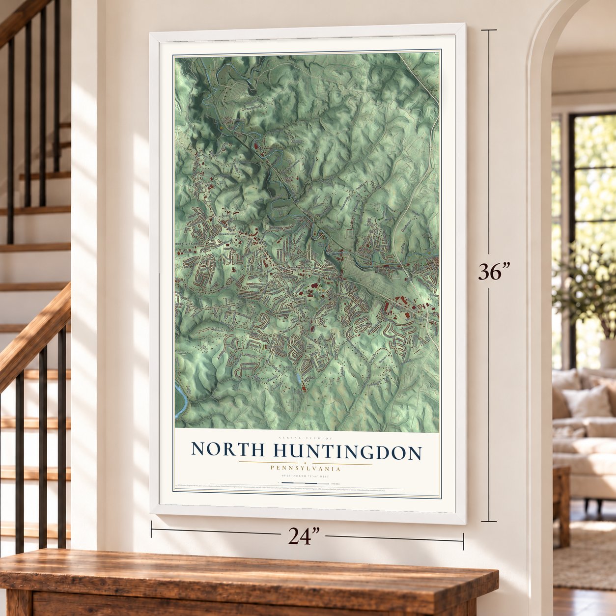
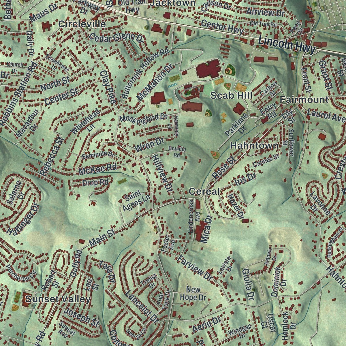
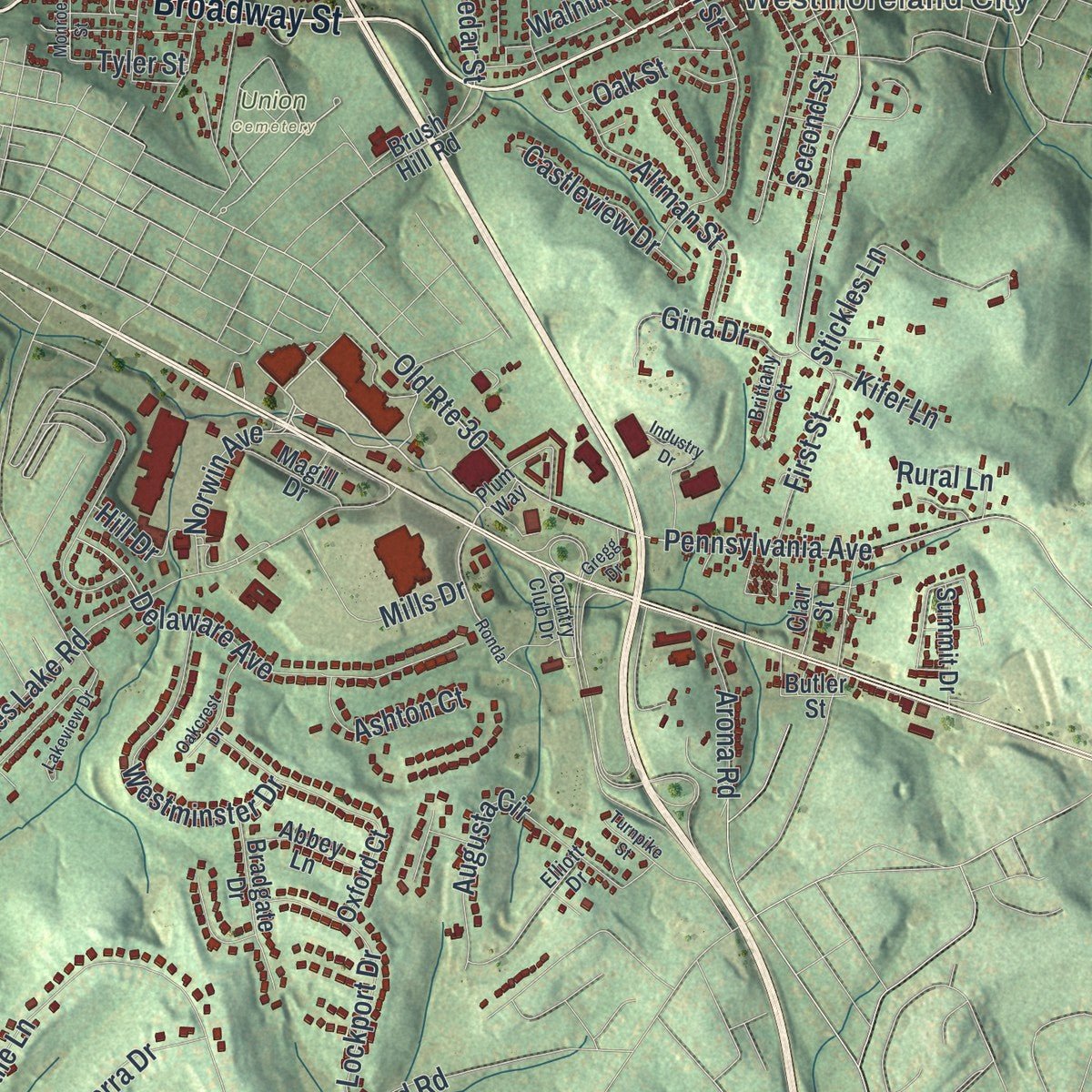
Explore North Huntingdon, Pennsylvania from a whole new perspective. Created using aerial imagery and detailed geographic data, this map captures North Huntingdon building by building, with labeled streets, familiar landmarks, and shaded topographical relief that highlights the natural contours of the landscape.
Combining modern data with the timeless character of a vintage atlas, this map is just as interesting up close as it is beautiful on the wall. Whether you grew up in North Huntingdon, spent memorable years there, or call it home today, this unique map is a great way to celebrate a place that means something to you. Zoom in on the preview to look for your street, and then order a print to put your memories on the wall.

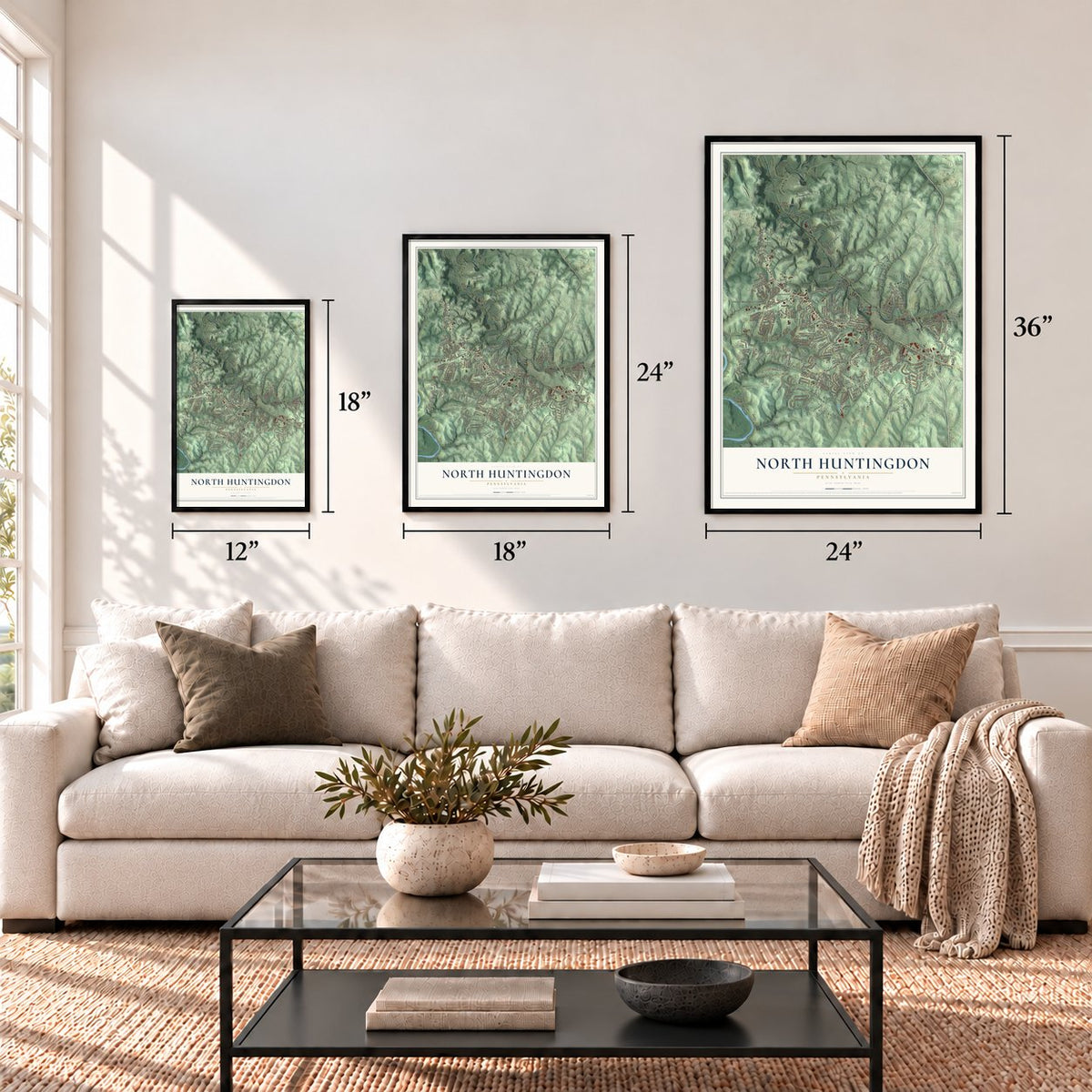
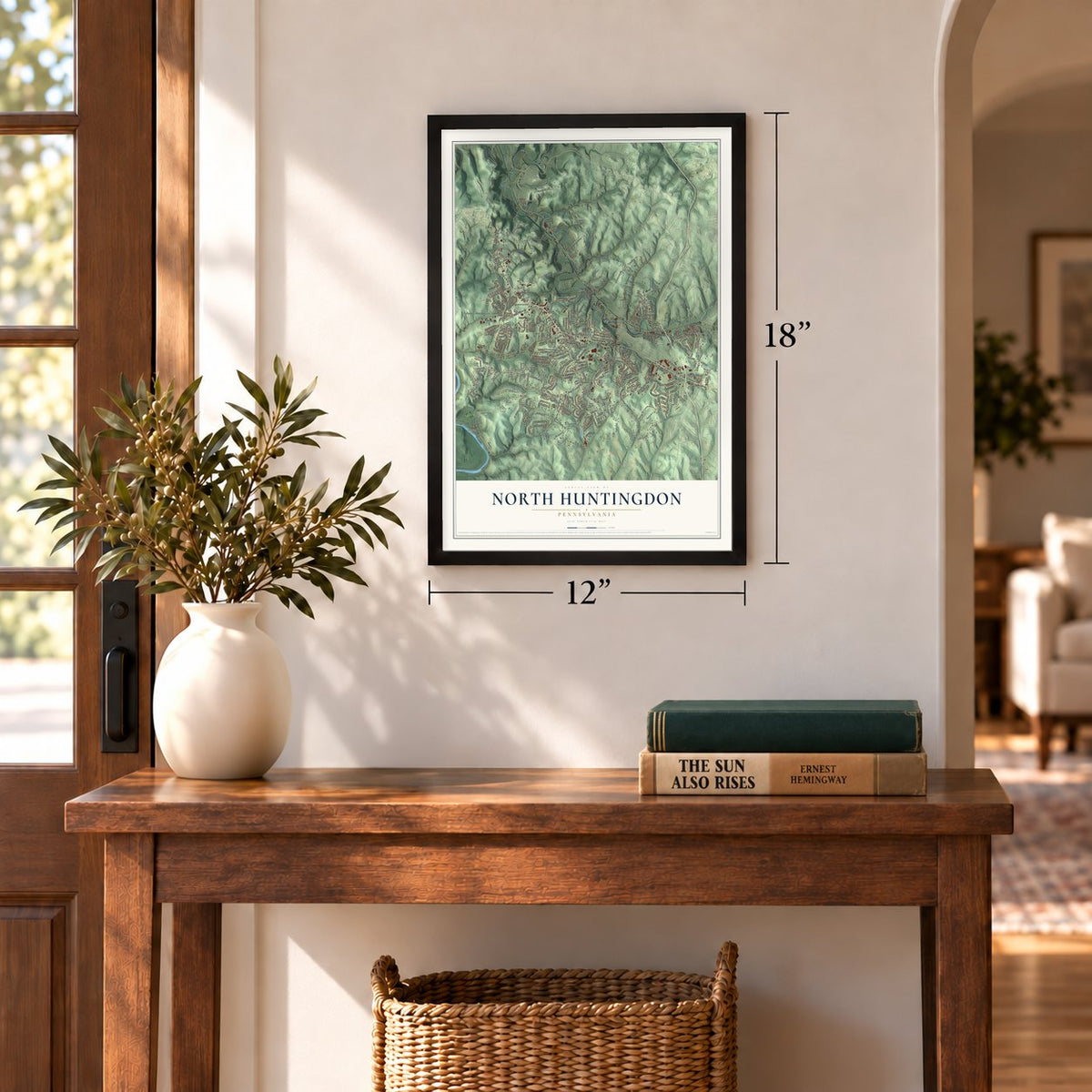
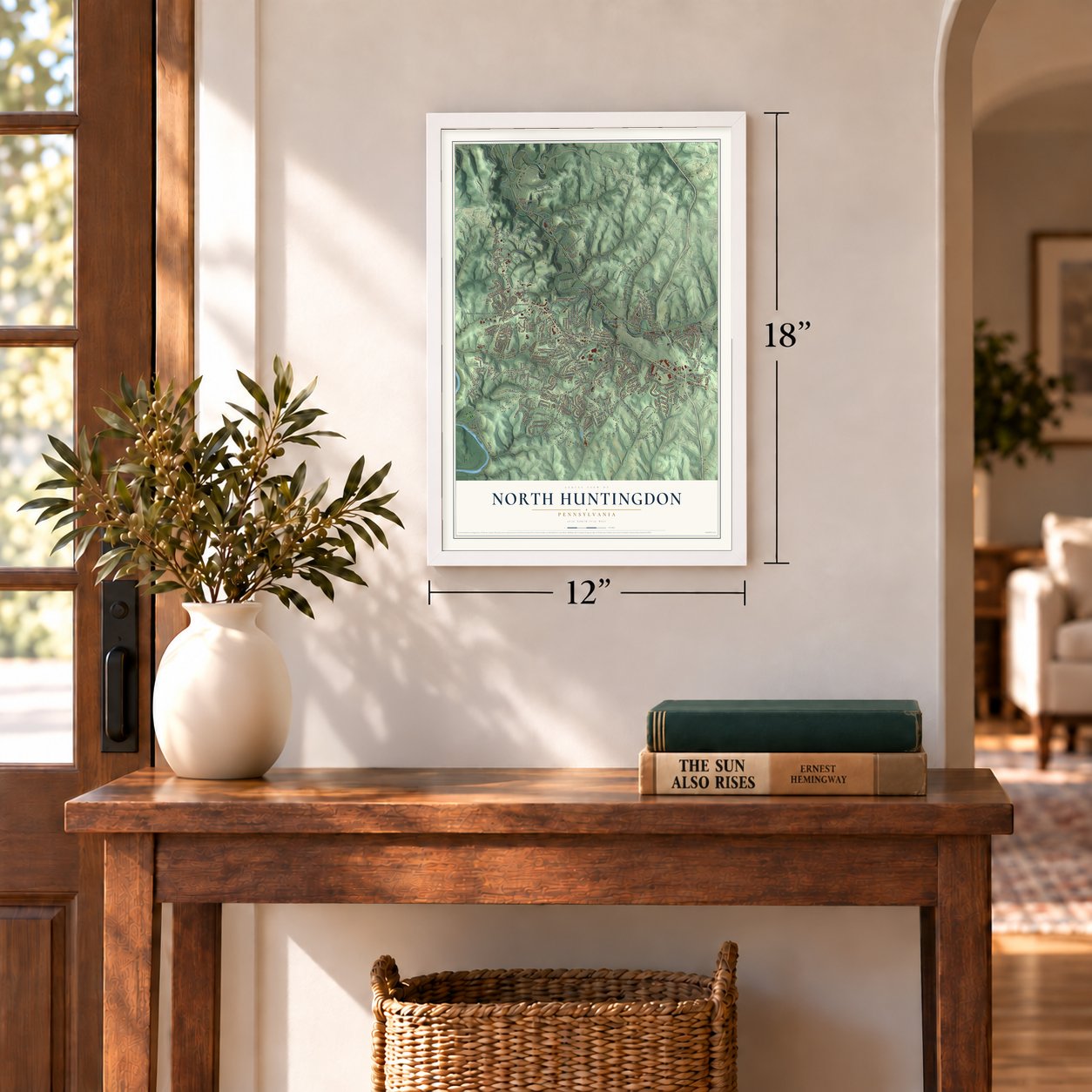
Three ways to hang it
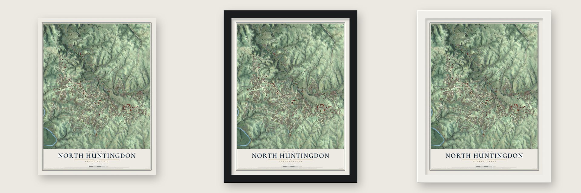
Unframed archival matte, a black wood frame or a white wood frame.
Up close
Geography Worth Displaying
This map was created using accurate cartographic data and authoritative geographic sources, including the U.S. Geological Survey and the Census Bureau. The map brings together terrain, waterways, roads, and building detail. The majority of the streets are labeled, houses are accurately depicted, and the topography is derived from government sources. Combining local data with carefully composed color and shading leads to this beautifully detailed North Huntingdon artwork for your wall.
Rather than simply showing street outlines, we’ve included as many of the street names as we could reasonably fit on the map while keeping their names legible. Zoom in on the high resolution preview to see exactly what’s on the map. We truly set out to create a statement piece for anyone who loves North Huntingdon. So whether it’s for you, or a gift for someone you love, we hope this map of North Huntingdon brings back fond memories.
Read the story behind this map of North Huntingdon, Pennsylvania from 2026.
Find your street
Names on the North Huntingdon map
Every name below is printed on this map. Look for your street, your school, the park where you played, or the pond down the road.
Places and landmarks25
- Penns Wood Civic Center
- Westmoreland City
- Braddock's Trail Park
- Oak Hollow Park
- Union Cemetery
- Ardara
- Barners Hill
- Browntown
- Byerly
- Cavettsville
- Cereal
- Circleville
Show all 25 places
- Fairmount
- Guffey
- Hahntown
- Jacktown
- Larimer
- Manor
- Oakville
- Robbins
- Scab Hill
- Shafton
- Shawtown
- Stewartsville
- Sunset Valley
Streets and roads333
- Broadway Street
- Water Street
- Lincoln Highway
- Trafford Road
- First Street
- Frog Road
- Main Street
- Center Highway
- Liberty Avenue
- Guffey Road
- Robbins Station Road
- Clay Pike
- Hahntown-Wendel Road
- Barnes Lake Road
- Lincoln Way
- Ridge Road
- Turner Valley Road
- Leger Road
- Ardara Road
- Paintertown Road
- Haywood Road
- Old Route 30
- Pennsylvania Avenue
- Colonial Manor Road
- Baker School Road
- Brownstown Road
- Mickanin Road
- Ipnar Road
- Scotch Hill 1 Road
- Bridge Street
Show all 333 streets
- Five Pines Road
- Pine Hollow Road
- Maple Lane
- Schade Hill Road
- Morris Avenue
- McKee Road
- Magnus Lane
- Peregrine Drive
- Laurel Avenue
- Hedy Lynn Drive
- Second Street
- Nehrig Hill Road
- Samantha Way
- Haflinger Drive
- Brokers Lane
- Delaware Avenue
- Carpenter Lane
- Natalie Lane
- Winchester Road
- Turkey Farm Road
- Craig Drive
- Veronica Lane
- Fifth Street
- Iris Drive
- Northview Drive
- Farm Spur Road
- Murrysville Road
- Skellytown Road
- Scotch Hill
- Downing Place
- Redstone Drive
- Coulter Road
- Sandy Hill Road
- Reed Street
- McMahon Drive
- Lindale Court
- Spicher Hill Road
- Niagara Drive
- Westminster Drive
- Wilshire Drive
- Center Street
- Beacon Drive
- Altman Street
- Crestwood Drive
- Lockport Drive
- Stickles Lane
- Farview Drive
- Larimer Avenue
- Lucia Lane
- Rebecca Street
- Sherrick Drive
- Lancelot Drive
- Walnut Street
- Bethel Road
- Kingsbury Lane
- Parker Drive
- Longview Drive
- Adams Drive
- North Street
- Nike Road
- Valley View Drive
- Charles Drive
- Wayne Drive
- Rose Street
- Waterford Drive
- Roberta Drive
- Lentz Lane
- Tray Road
- Cedar Glenn Drive
- Durst Road
- Windsor Road
- Forest Oaks Trail
- Peachtree Lane
- Meadow Road
- Deerfield Drive
- Park Hill Road
- Colt Drive
- Robbie Drive
- Leonard Lane
- Sierra Drive
- Mills Drive
- Myers Lane
- Sedona Drive
- Wagner Drive
- Maus Drive
- Castleview Drive
- Bernice Drive
- Colleen Drive
- Barry Drive
- Northwest Drive
- Norwin Avenue
- Linshan Drive
- Jeffrey Drive
- Westchester Drive
- Airview Drive
- Giulia Drive
- South Street
- Ashton Court
- Northeast Drive
- Augusta Circle
- Mike Road
- Arona Road
- Ward Drive
- Pinto Drive
- Jones Road
- Kensington Place
- Gina Drive
- Hillview Drive
- Mark Avenue
- Mica Drive
- Masters Lane
- Adele Drive
- Garlow Road
- Cedar Street
- Buzzard Road
- Joseph Street
- Tara Drive
- Oakside Drive
- Christine Drive
- Alamo Lane
- Tyler Street
- Hill Drive
- Kee Road
- Rural Lane
- Belaire Drive
- Edwin Drive
- Wren Drive
- Grant Street
- Martin Drive
- Aerie Drive
- Kifer Lane
- Cherry Lane
- Taylor Street
- Cat Drive
- Oak Street
- Entry Road
- Parkway Drive
- Irwin Street
- Wallace Drive
- Saint Clair Drive
- Buttermilk Hollow Road
- Guffey Rillton Road
- Roseway Boulevard
- Guffy Road
- Oxford Court
- Whitehead Lane
- Don Drive
- Herold Drive
- Roth Drive
- Marcia Drive
- Drop Road
- Hunters Woods Lane
- Riverview Road
- Michael Drive
- Larwin Lane
- Woodall Avenue
- Leitz Lane
- Country Hills Drive
- Johnson Avenue
- Dominick Drive
- Deborah Drive
- Shaw Street
- Lavonne Drive
- Johnston's Lane
- Old Trail Highway
- Jonah Drive
- Robert Street
- Timothy Drive
- Forest Drive
- Mockingbird Drive
- Saint Agnes Lane
- Hawk Drive
- Lynnrose Drive
- Saint Nickolai Drive
- Malts Lane
- Ridinger Park Road
- Hemlock Drive
- Fundistown Road
- Quarter Horse Drive
- Pickford Street
- Fischer Lane
- Bradgate Drive
- Pinewood Road
- Parklane Drive
- Front Street
- Daily Drive
- Brush Hill Road
- Vangura Lane
- Gasson Drive
- Woodside Road
- Hiland Place
- Macarthur Drive
- Tomco Lane
- Mitchell Drive
- Bedford Road
- Leo Street
- Magill Drive
- Marion Drive
- Belmont Street
- Abbey Lane
- Quaker Drive
- Williams Lane
- Carlson Drive
- Harvest Lane
- Butler Street
- Summit Drive
- New Hope Drive
- Hazel Drive
- Willow Drive
- Jodie Lane
- Mallard Lane
- Dirling Lane
- Otis Drive
- Lynch Drive
- Jones Street
- Salerno Drive
- Bolton Road
- Baird Lane
- Travis Drive
- April Court
- Post Street
- Oscar Court
- Cheryl Drive
- Aspen Street
- Clair Street
- Lily Street
- Blair Lane
- Idaho Lane
- Rice Lane
- Mahaffey Hill Road
- Pine Hollow Road Extended
- Morris Street
- Trolist Drive
- Percheron Circle
- Sunset Avenue
- Ormsby Drive
- Country Club Drive
- Hi Ridge Drive
- Friar Tuck Drive
- Seminole Drive
- Greenville Circle
- Lindencross Avenue
- Windgap Drive
- Dove Drive
- Mifflin Street
- Cannas Street
- Jonathan Drive
- Carbon Street
- Sunflower Street
- Tiffany Drive
- Lavista Drive
- Derby Court
- Brittany Court
- South Side Road
- Our Way
- Porter Drive
- Ann Drive
- Harley Drive
- Nicole Drive
- Foster Avenue
- Greer Street
- Elliott Drive
- Pace Street
- Plum Way
- Lion Lane
- Ronda
- Old Trail Road
- Harmony Lane
- Barner Hill Road
- Carmichael Circle
- Church Drive
- Thomas Drive
- Bickerstaff Road
- Lakeview Drive
- Industry Drive
- Bouldin Road
- Buckingham Place
- Wright Drive
- Warwick Drive
- Harrison Avenue
- Antonio Drive
- George Circle
- Scotty Road
- Oakcrest Drive
- Eisenhower Drive
- Oregon Lane
- Marven Place
- Nature Lane
- Torie Drive
- Grape Street
- Gregg Drive
- Stanyard Lane
- Turnpike Street
- Abrams Drive
- Monroe Street
- Division Street
- Lamont Drive
- Tussey Lane
- Bartley Court
- Fulton Street
- June Street
- Fawn Way
- Liller Lane
Names are listed as they appear on the printed map. Zoom into the product photos to find them.
About North Huntingdon, Pennsylvania
North Huntingdon is a township of 31,880 people in Westmoreland County. It began as part of Huntingdon Township, which was founded on April 6, 1772, and named for England's Earl of Huntingdon. That first township was later split into four: North Huntingdon, East Huntingdon, South Huntingdon and Sewickley.
Two groups of settlers came in from opposite ends, with the land now called Irwin between them. German families took the east, where Lutheran churches ran the schools and taught only in German. Presbyterian Scots-Irish families took the west and settled mostly around Circleville, Cavitt's Mills and Robbin's Station.
“The citizens of North Huntingdon township eagerly accepted the free-school system, voting almost unanimously in its favor. The then boundary of the township contained six rude school-houses; now within its limits there are twenty houses and twenty-two schools.”
- Master Jack's school, 1782Farmers gave land so their children could learn close to home. In 1782 the township's first school, Birch Spring, opened in the western end. People called it Master Jack's school after its first teacher. Teachers had to pass an exam, know reading, writing and arithmetic, and be able to mend quill pens and use birch rods. Fairview School followed in 1816 to serve the eastern end.
- One room, one windowThe settlers' homes stood about 10 feet high, with a single room and a single window. Mud packed into the walls kept out the winter cold. Chairs were cut from logs, beds were stuffed with hay or straw, and cooking smoke escaped through a hole in the roof, since the houses had no chimney.
- Second largest in the countyThe township counted 3,000 people in 1860. By the 1980 census it had grown to 31,517, making it the second largest municipality in Westmoreland County. The 2000 count was 29,123.
Keep exploring Pennsylvania
North Huntingdon is one of 3,725 Pennsylvania towns we've mapped. Every dot on the map is a print of its own.
The search covers every state, Pennsylvania first.
Near North Huntingdon
Order 2 or more town maps and save 10%. Shown in the size and finish you picked above, so they hang as a set.
- Stewartsville 12" x 18" / Archival Matte Print $39.99
- North Irwin 12" x 18" / Archival Matte Print $39.99
- Sunset Valley 12" x 18" / Archival Matte Print $39.99

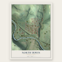
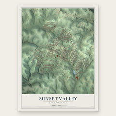
More maps nearby: Irwin, Hahntown, White Oak, Manor and Coulter.
The art of mapping a place
How This Map Was Made
Real places. Remarkable detail. Discover the layers that turn geographic data into a map of home.

The view from above
Aerial imagery reveals the character of the land: woodland, open fields, and the patterns of a place.

The shape of the land
Elevation data brings hills, valleys, and subtle changes in the landscape into view.

The details of home
Roads, waterways, and building footprints come together to make the map feel unmistakably local.

Geography becomes art
Considered color, shading, and typography bring the layers together in a map made for your wall.


Process illustrated with Mendon, Massachusetts. Aerial imagery: USDA NAIP. Terrain: USGS 3D Elevation Program. Map details and finished artwork: KNOWOL.
The Details
About This Print
Choose an archival matte print, or a black or white Ayous wood frame. The archival matte print is unframed.
Select your size and finish above to see the matching product image and price.
Materials & Craftsmanship
A contemporary map with the character of a classic atlas, printed on archival matte paper. Optional frames are made from Ayous wood.
Your printed map does not include the watermark shown in the full-map preview.
Shipping & Delivery
Free shipping within the United States. Every print is made to order in the USA.
Buying a gift? Add a note in your cart and we'll include it. We never put prices in the package.
Prints ship within 2 to 3 business days. Allow 7 to 10 days total from ordering for delivery. Timing may vary during holidays or periods of high order volume.
Read our shipping policy.
Returns and damaged prints
Each print is made to order. Change-of-mind refunds are not available after production.
If your print arrives damaged, misprinted or incorrect, contact support@knowol.com within 30 days of receiving it. Include your order number, photos and a description of the issue.
Read our full refund and replacement policy. For questions about your order, email support@knowol.com.