
Search for another town
Free U.S. delivery 7 to 10 days after you order
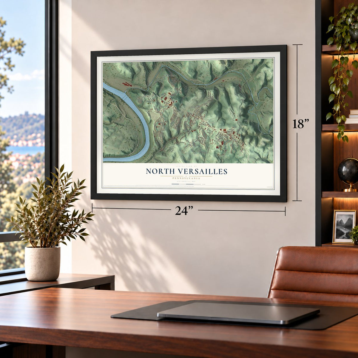
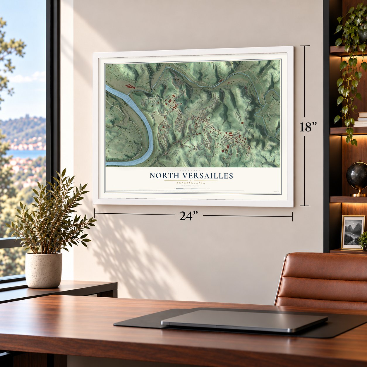
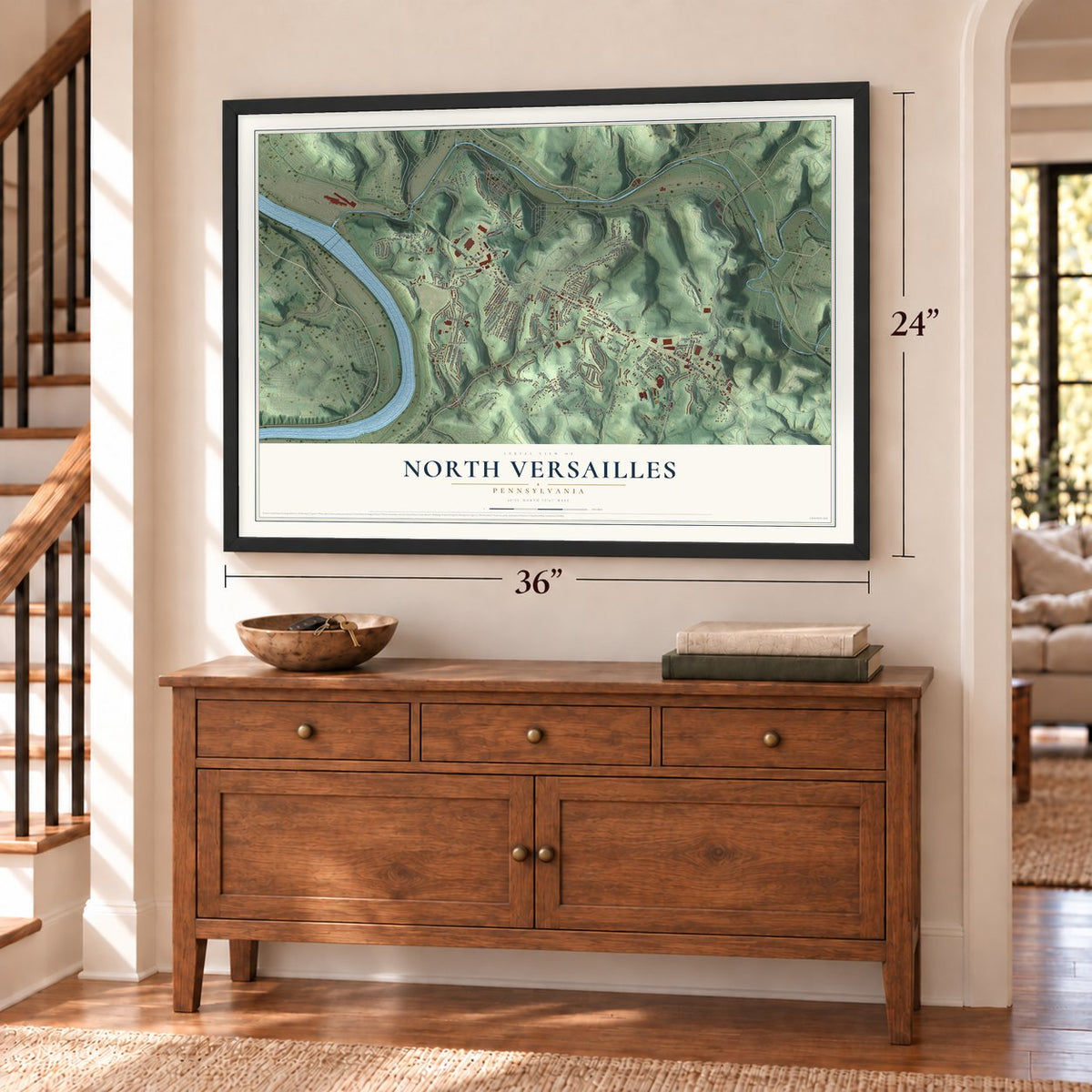
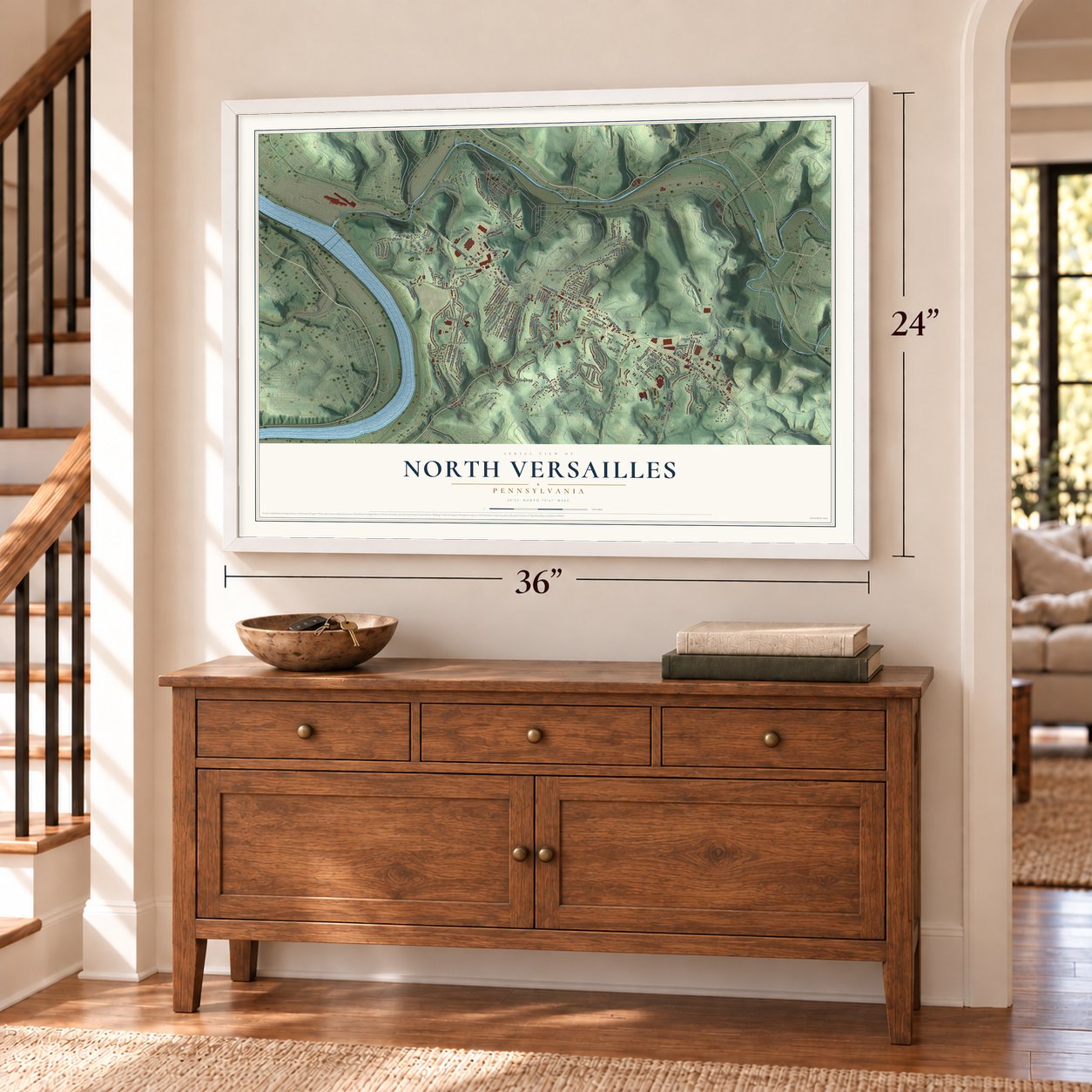
North Versailles, Pennsylvania Map Art
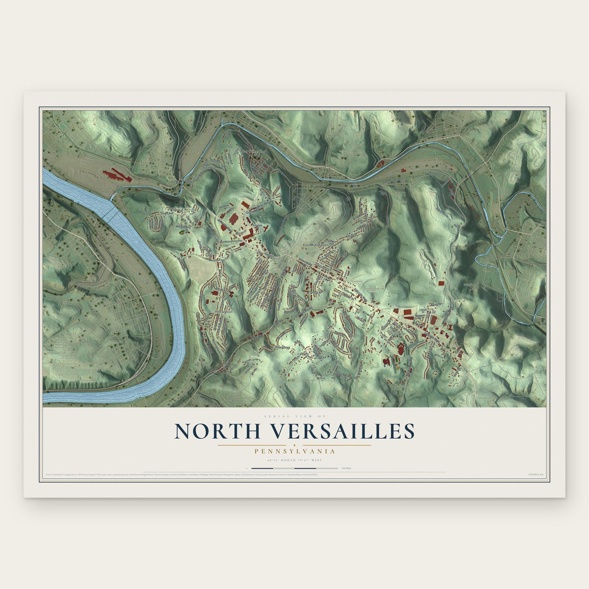
Building by building, with labeled streets and shaded relief.
12" x 18" Archival Matte Print
A Map of Home. A Work of Art.
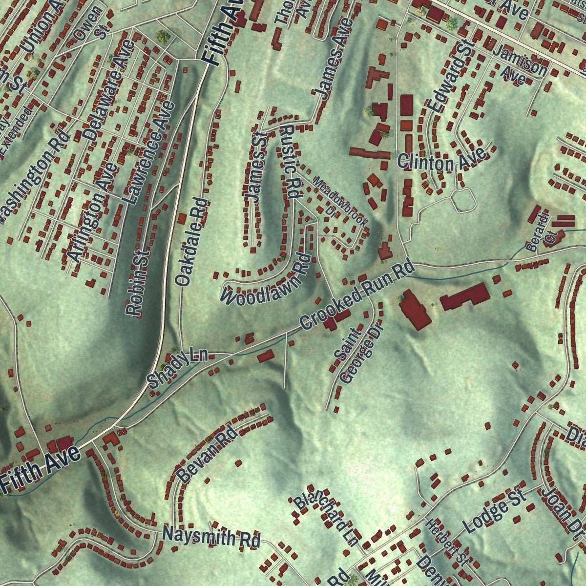
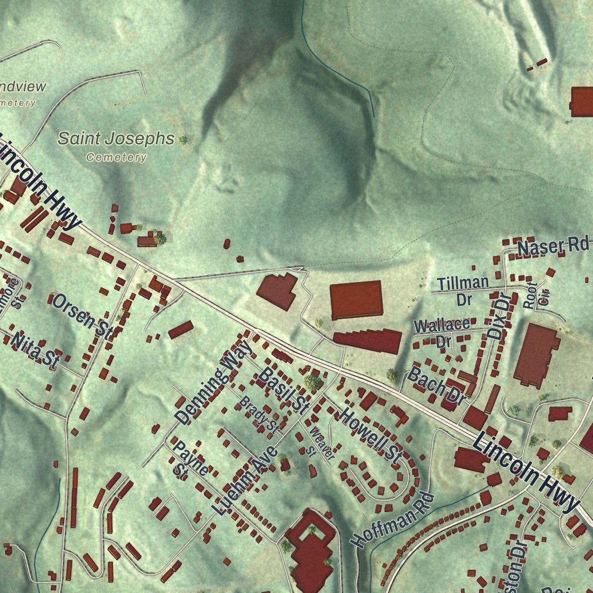
Explore North Versailles, Pennsylvania from a whole new perspective. Created using aerial imagery and detailed geographic data, this map captures North Versailles building by building, with labeled streets, familiar landmarks, and shaded topographical relief that highlights the natural contours of the landscape.
Combining modern data with the timeless character of a vintage atlas, this map is just as interesting up close as it is beautiful on the wall. Whether you grew up in North Versailles, spent memorable years there, or call it home today, this unique map is a great way to celebrate a place that means something to you. Zoom in on the preview to look for your street, and then order a print to put your memories on the wall.

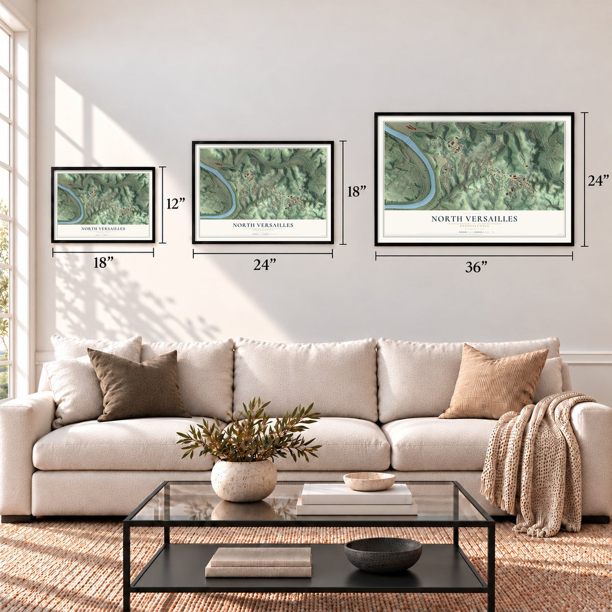
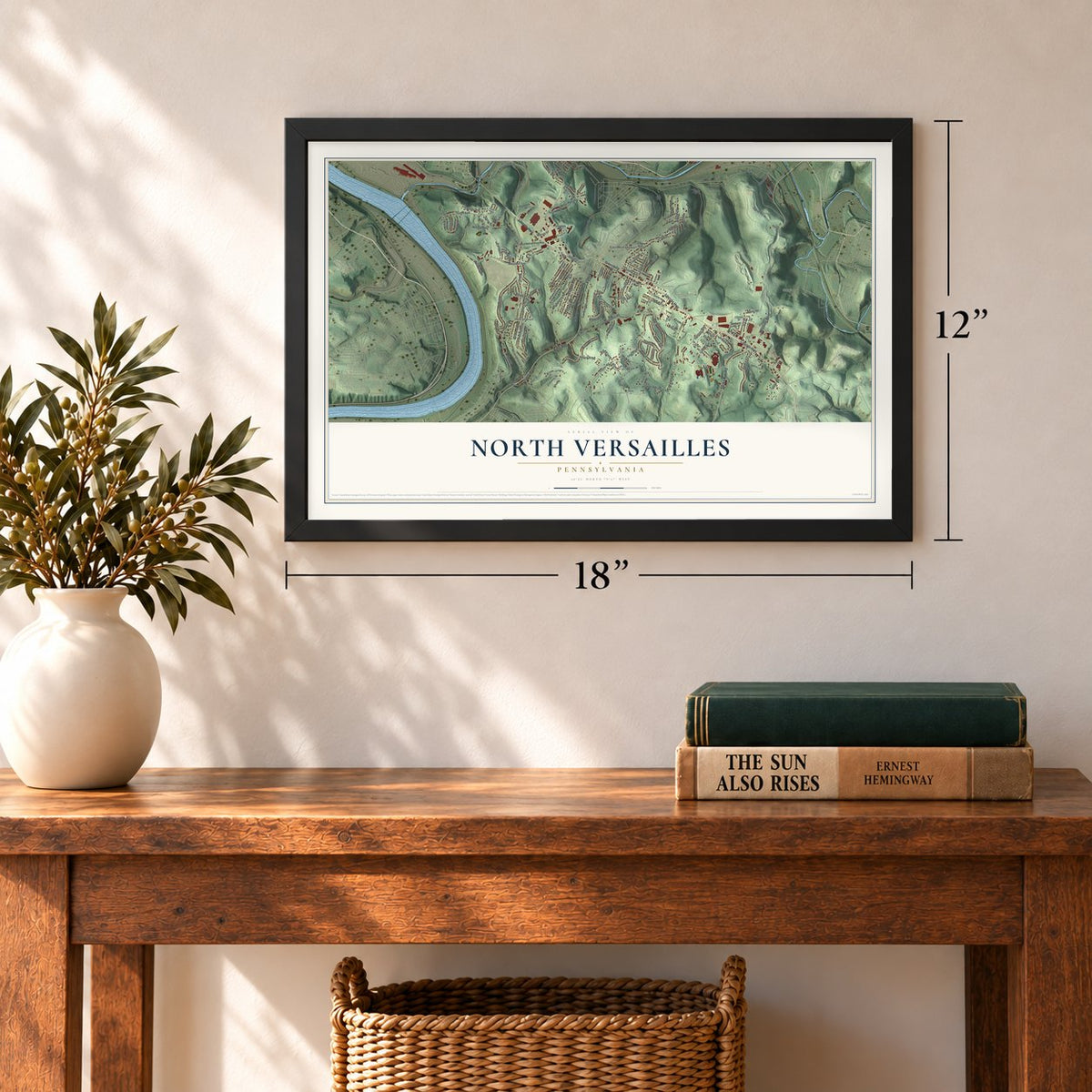
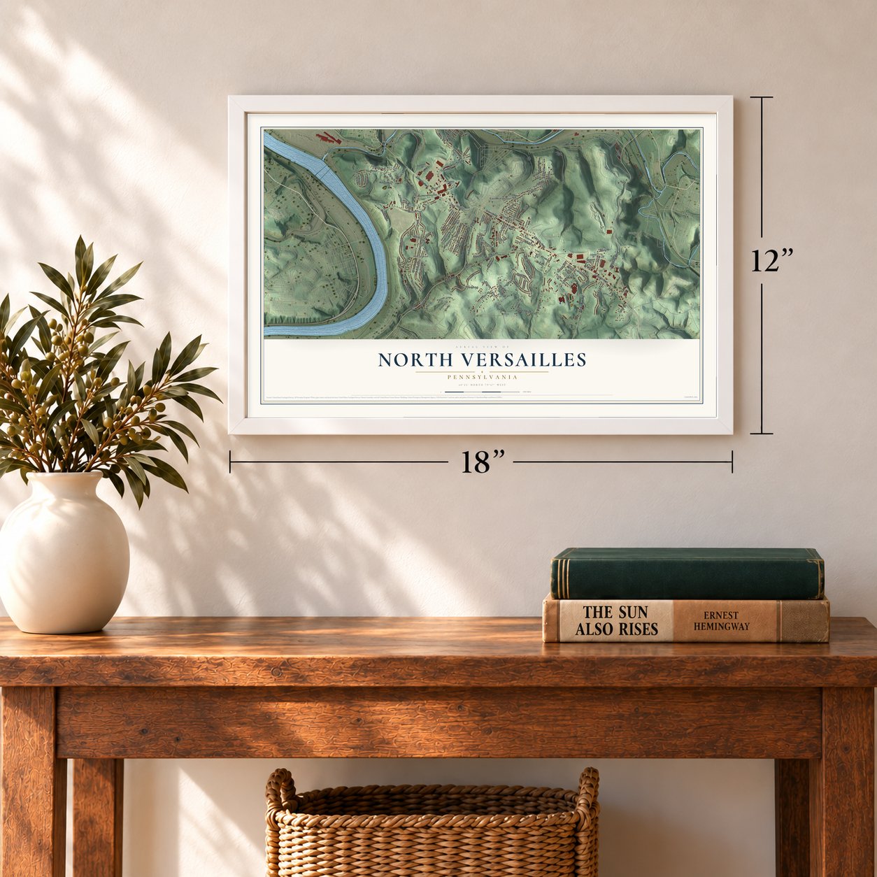
Three ways to hang it
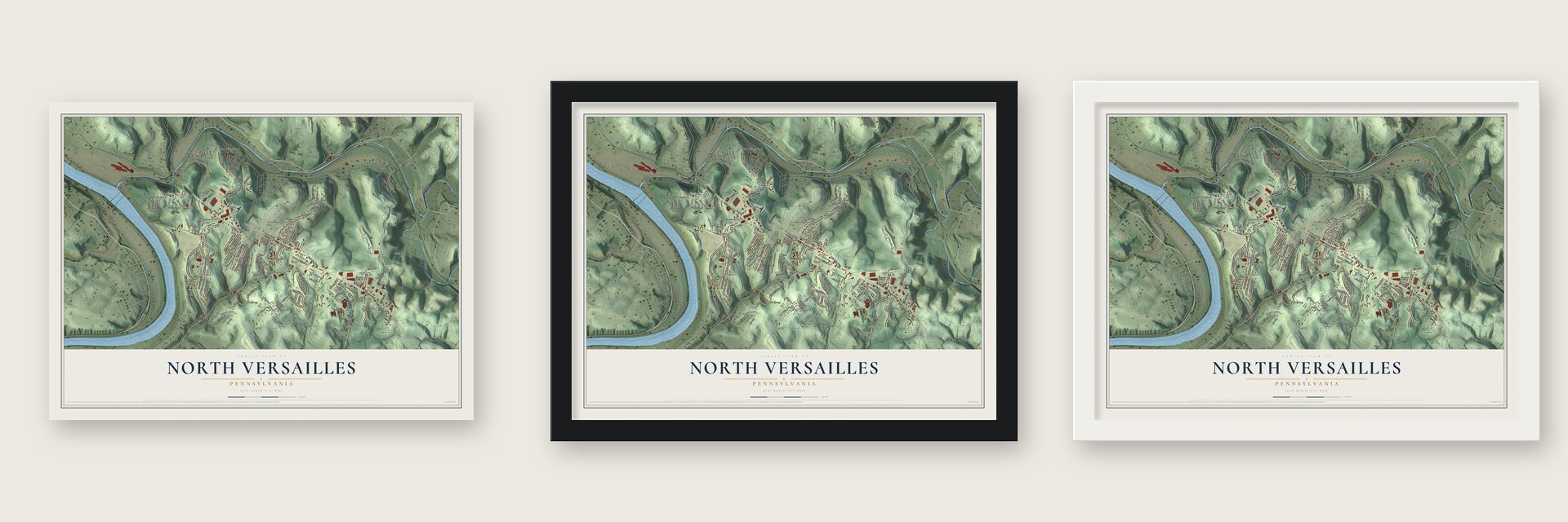
Unframed archival matte, a black wood frame or a white wood frame.
Up close
Geography Worth Displaying
This map was created using accurate cartographic data and authoritative geographic sources, including the U.S. Geological Survey and the Census Bureau. The map brings together terrain, waterways, roads, and building detail. The majority of the streets are labeled, houses are accurately depicted, and the topography is derived from government sources. Combining local data with carefully composed color and shading leads to this beautifully detailed North Versailles artwork for your wall.
Rather than simply showing street outlines, we’ve included as many of the street names as we could reasonably fit on the map while keeping their names legible. Zoom in on the high resolution preview to see exactly what’s on the map. We truly set out to create a statement piece for anyone who loves North Versailles. So whether it’s for you, or a gift for someone you love, we hope this map of North Versailles brings back fond memories.
Read the story behind this map of North Versailles, Pennsylvania from 2026.
Find your street
Names on the North Versailles map
Every name below is printed on this map. Look for your street, your school, the park where you played, or the pond down the road.
Places and landmarks7
- Port Perry
- Grandview Cemetery
- Saint Josephs Cemetery
- East McKeesport
- Fite Station
- Stewart
- West Wilmerding
Streets and roads163
- Lincoln Highway
- Mosside Boulevard
- Fifth Avenue
- Jacks Run Road
- East Pittsburgh McKeesport Boulevard
- Greensburg Pike
- Lawrence Avenue
- Osborne Street
- Greensburg Avenue
- Turner Street
- Kline Avenue
- Wall Avenue
- Ice Plant Hill Road
- James Avenue
- Foster Road
- Third Street
- Crooked Run Road
- Lynda Lane
- Maryland Avenue
- McKee Road
- Central Avenue
- Washington Road
- Girard Avenue
- First Street
- Overhill Drive
- Dixon Avenue
- Maryellen Drive
- Westinghouse Avenue
- Naser Road
- Luehm Avenue
Show all 163 streets
- Taylor Street
- Denning Way
- Bevan Road
- Milligan Avenue
- Oakdale Road
- Naysmith Road
- Hoffman Road
- Preston Drive
- Upper Heckman Road
- Crestas Avenue
- Fourth Street
- Larimer Avenue
- Delaware Avenue
- Union Avenue
- Arlington Avenue
- Port Perry Road
- Robin Street
- Joan Drive
- Sylvan Avenue
- Valley Avenue
- Palma Street
- Signal Hill Drive
- Hyer Avenue
- Dedarhurst Drive
- Howell Street
- Oakhurst Avenue
- Lodge Street
- Rustic Road
- Elm Street
- Arlene Avenue
- Dix Drive
- Edward Street
- Elizabeth Street
- Westbury Road
- Woodlawn Road
- Clyde Avenue
- Pennsylvania Avenue
- Diane Drive
- Reiss Lane
- Walnut Street
- Della Drive
- Second Street
- Paris Street
- Logan Road
- Clavale Street
- Old Fifth Avenue
- Brown Place
- Penn Avenue
- Porter Street
- Lloyd Avenue
- Orsen Street
- Hill Street
- Denver Street
- Derby Lane
- Warren Drive
- James Street
- Nita Street
- Orris Road
- Pine Place
- Clinton Avenue
- Ridge Avenue
- Shady Lane
- Bach Drive
- Division Street
- Basil Street
- Castle Avenue
- Pine
- Ault Street
- Fairview Street
- Dry Street
- Sprague Street
- Station Street
- Lincoln Avenue
- Tintsman Avenue
- Faraday Street
- Navy Marine Corp Way
- Centralia Avenue
- Jamison Avenue
- Payne Street
- East Carter Drive
- Saint George Drive
- Piedmont Drive
- Pinehurst Avenue
- West Carter Drive
- Center Avenue
- Ferdinand Drive
- Versailles Avenue
- Irishtown Road
- Blanchard Lane
- Halkett Street
- Emlyn Avenue
- Tillman Drive
- Prince Street
- Maple Avenue
- Dichicco Drive
- Kukurin Drive
- Thomas Avenue
- Millard Street
- Rosedale Avenue
- Wallace Drive
- Homer Avenue
- Railroad Street
- Greely Avenue
- Tracy Drive
- Auberle Street
- Owen Street
- Greensburg Highway
- Broadway Avenue Extended
- Herbert Street
- Garden Street
- Jacob Street
- Brady Street
- Crestview Drive
- Versailles
- Fieldcrest Drive
- Thorn Drive
- Elmore Street
- Berardi Court
- David Lane
- Root Circle
- Clark Alley
- Volta Street
- Pittsburgh Street
- Meadowbrook Drive
- Long Avenue
- Highwood Avenue
- Elder Street
- Spring Street
- Demmler Street
- Canterbury Lane
- Weaver Street
- Isaac Street
- Sell Street
Names are listed as they appear on the printed map. Zoom into the product photos to find them.
About North Versailles, Pennsylvania
North Versailles is a township of 10,074 people in Allegheny County, and it takes its name from the Palace of Versailles. Its land was once claimed by both Pennsylvania and Virginia, which counted it as part of Yohogania County in the District of West Augusta. In 1788 it became part of Versailles Township, one of the seven townships Allegheny County started with when it was carved from Westmoreland County.
On September 18, 1869, the old township was split in two, North and South Versailles. North Versailles then gave up ground as new boroughs formed inside it: part of Wilmerding in 1890, East McKeesport in 1895, and Wall and part of Trafford in 1904. The city of McKeesport also annexed Allequippa Grove, later called North McKeesport and Highland Grove. Today the township wraps around East McKeesport, Wilmerding and Wall.
- Villages along the waterIn its early years the township's people lived in scattered villages. Port Perry, Saltsburgh and Allequippa Grove grew along the Monongahela River. Turtle Creek had its own string of settlements: Wilmerding Station, Wall Station, Mosside Station, Spring Hill and Stewart's Station. Pleasant Hill sat near today's East McKeesport, and Point Pleasant stood where Route 30 now meets McKee and Naser roads.
- Four school systems become oneHigh school students from North Versailles once picked among several schools in nearby districts, from East McKeesport to Turtle Creek. In the early 1960s the township joined East McKeesport, Wilmerding and Wall to form the East Allegheny School District, called Westinghouse Valley Area Schools from 1962 to 1966. East Allegheny High School, home of the Wildcats, followed in 1969. Green Valley School, from 1955, is the last building left from the old North Versailles district.
- Live From East McKeesportComedienne Donna Jean Young, born in East McKeesport in 1936, lived on Broadway Extension in the township's Arlington Plan. Parts of North Versailles used East McKeesport as a mailing address when she was young, and she built her act around that town and "Woolmerding," her spelling of Wilmerding. She appeared briefly on Rowan and Martin's Laugh-In, and in 1968 Epic Records released her album Live From East McKeesport.
- Eight fire companies, now threeNorth Versailles once had eight volunteer fire departments, one for each ward, with two in Ward 3, where Sunset and South Wilmerding each kept their own. Today Crestas and West Wilmerding still have volunteer companies, and the Fire Department of North Versailles covers the other five wards from the old Sunset-Central and Green Valley firehouses. It also runs the township's ambulances, answering about 2,500 calls a year.
Keep exploring Pennsylvania
North Versailles is one of 3,725 Pennsylvania towns we've mapped. Every dot on the map is a print of its own.
The search covers every state, Pennsylvania first.
Near North Versailles
Order 2 or more town maps and save 10%. Shown in the size and finish you picked above, so they hang as a set.
- East McKeesport 12" x 18" / Archival Matte Print $39.99
- Wilmerding 12" x 18" / Archival Matte Print $39.99
- West Wilmerding 12" x 18" / Archival Matte Print $39.99
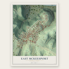
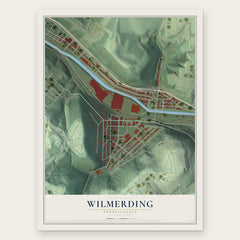
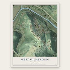
More maps nearby: Wall, East Pittsburgh, Duquesne, Turtle Creek and White Oak.
The art of mapping a place
How This Map Was Made
Real places. Remarkable detail. Discover the layers that turn geographic data into a map of home.

The view from above
Aerial imagery reveals the character of the land: woodland, open fields, and the patterns of a place.

The shape of the land
Elevation data brings hills, valleys, and subtle changes in the landscape into view.

The details of home
Roads, waterways, and building footprints come together to make the map feel unmistakably local.

Geography becomes art
Considered color, shading, and typography bring the layers together in a map made for your wall.


Process illustrated with Mendon, Massachusetts. Aerial imagery: USDA NAIP. Terrain: USGS 3D Elevation Program. Map details and finished artwork: KNOWOL.
The Details
About This Print
Choose an archival matte print, or a black or white Ayous wood frame. The archival matte print is unframed.
Select your size and finish above to see the matching product image and price.
Materials & Craftsmanship
A contemporary map with the character of a classic atlas, printed on archival matte paper. Optional frames are made from Ayous wood.
Your printed map does not include the watermark shown in the full-map preview.
Shipping & Delivery
Free shipping within the United States. Every print is made to order in the USA.
Buying a gift? Add a note in your cart and we'll include it. We never put prices in the package.
Prints ship within 2 to 3 business days. Allow 7 to 10 days total from ordering for delivery. Timing may vary during holidays or periods of high order volume.
Read our shipping policy.
Returns and damaged prints
Each print is made to order. Change-of-mind refunds are not available after production.
If your print arrives damaged, misprinted or incorrect, contact support@knowol.com within 30 days of receiving it. Include your order number, photos and a description of the issue.
Read our full refund and replacement policy. For questions about your order, email support@knowol.com.