
Search for another town
Free U.S. delivery 7 to 10 days after you order
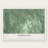
Northfield, New Hampshire Map Art
Building by building, with labeled streets and shaded relief.
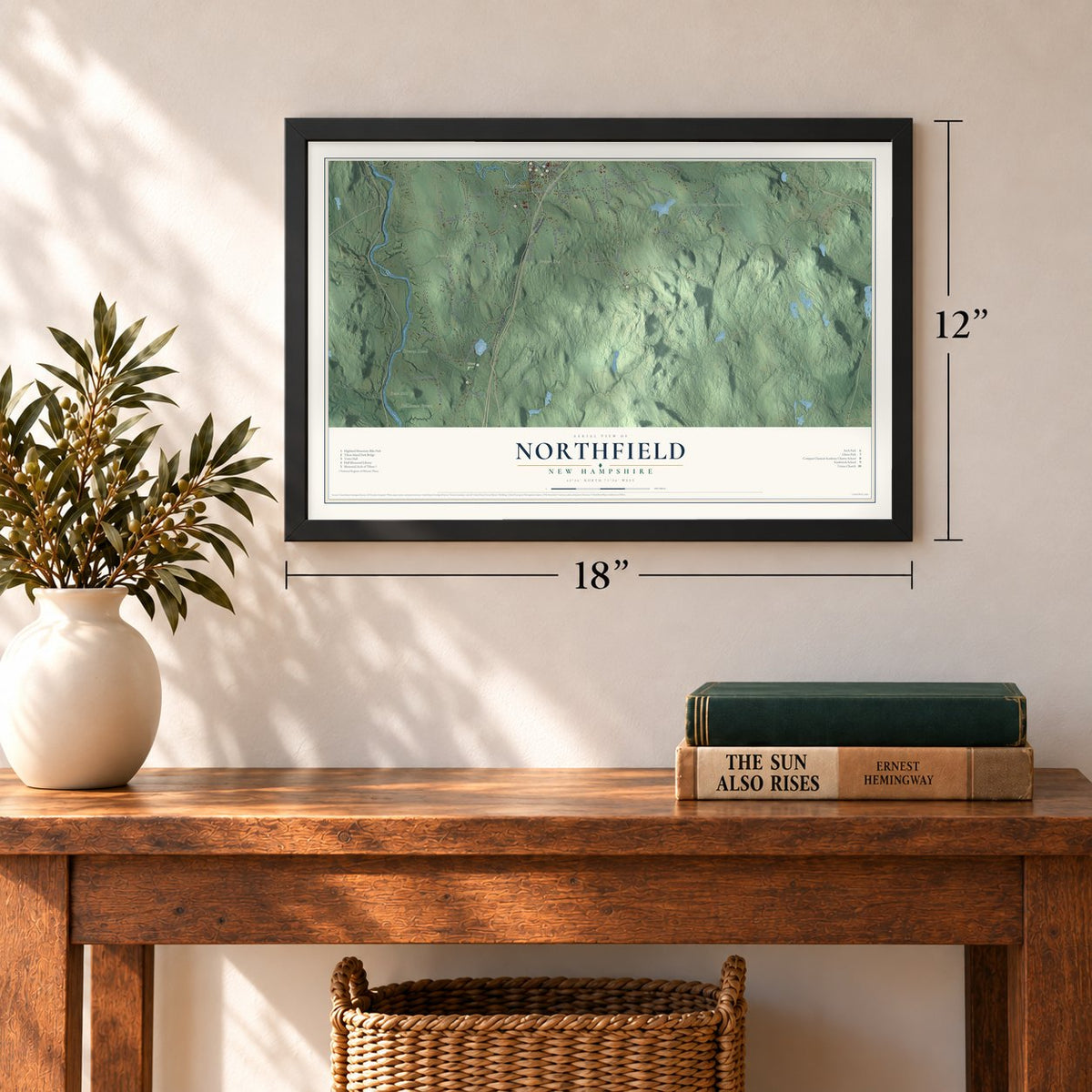
12" x 18" Archival Matte Print
A Map of Home. A Work of Art.
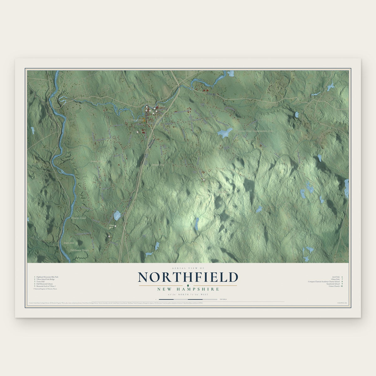
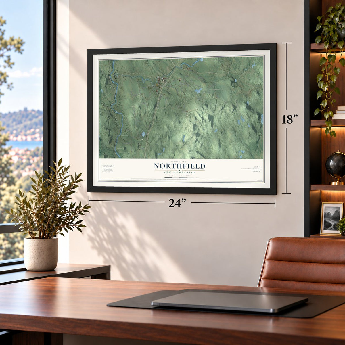
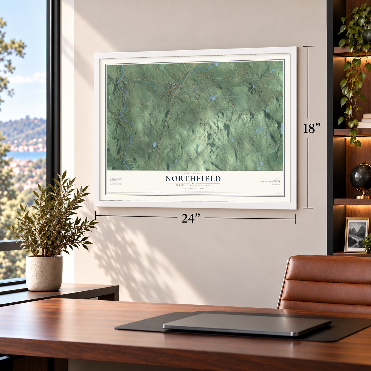
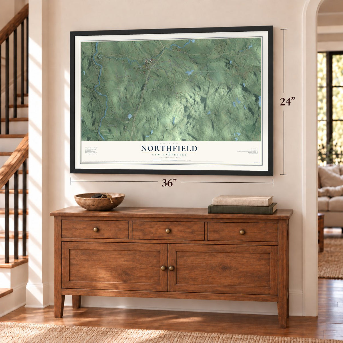
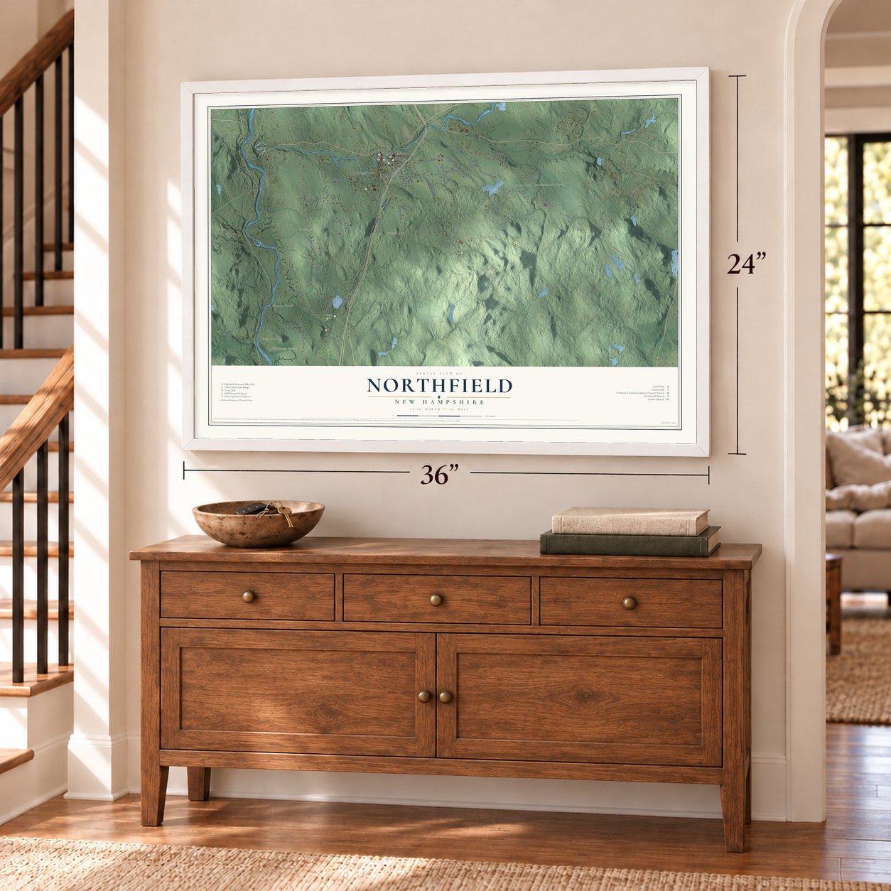
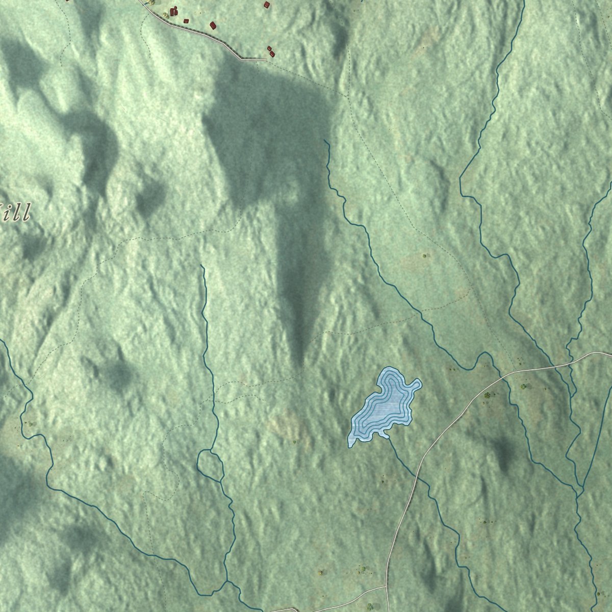
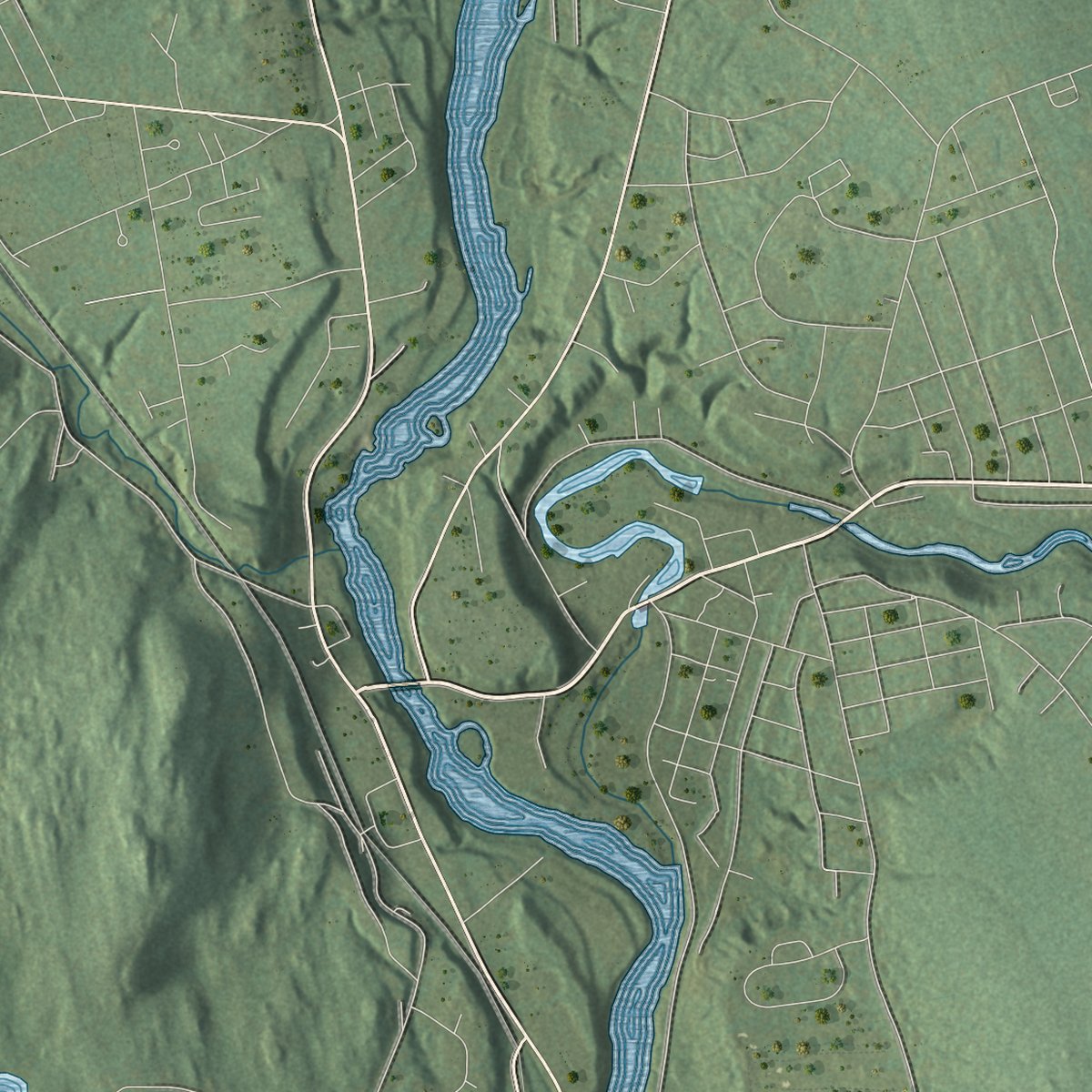
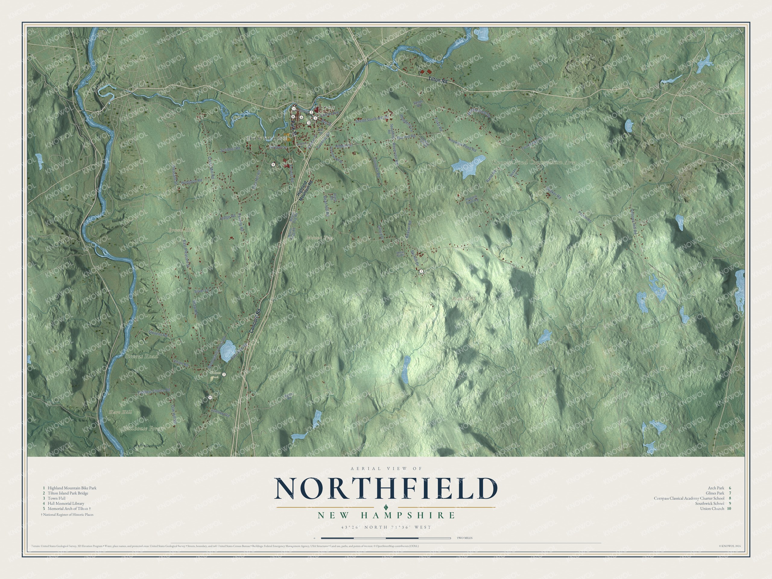
Explore Northfield, New Hampshire from a whole new perspective. Created using aerial imagery and detailed geographic data, this map captures Northfield building by building, with labeled streets, familiar landmarks, and shaded topographical relief that highlights the natural contours of the landscape.
Combining modern data with the timeless character of a vintage atlas, this map is just as interesting up close as it is beautiful on the wall. Whether you grew up in Northfield, spent memorable years there, or call it home today, this unique map is a great way to celebrate a place that means something to you. Zoom in on the preview to look for your street, and then order a print to put your memories on the wall.
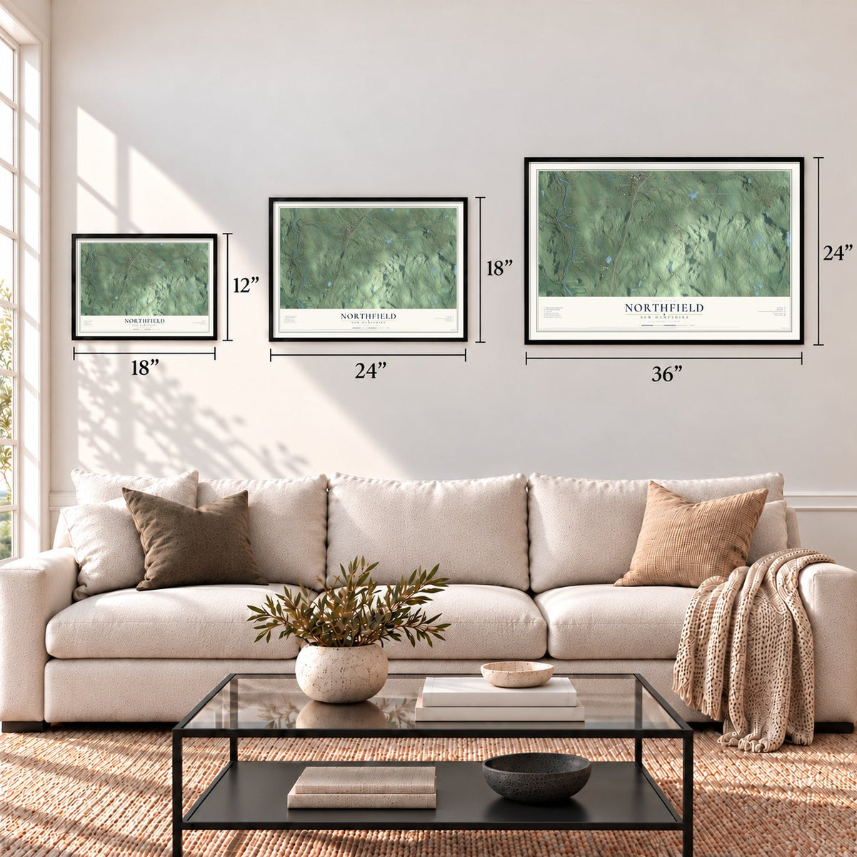
Three ways to hang it
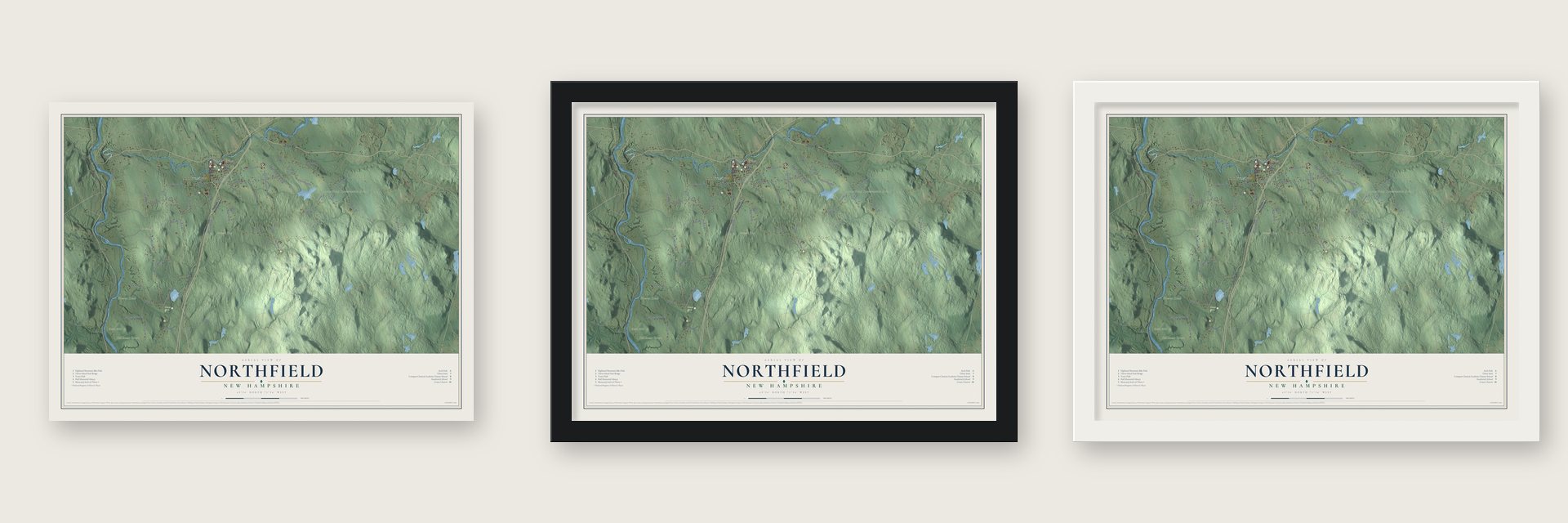
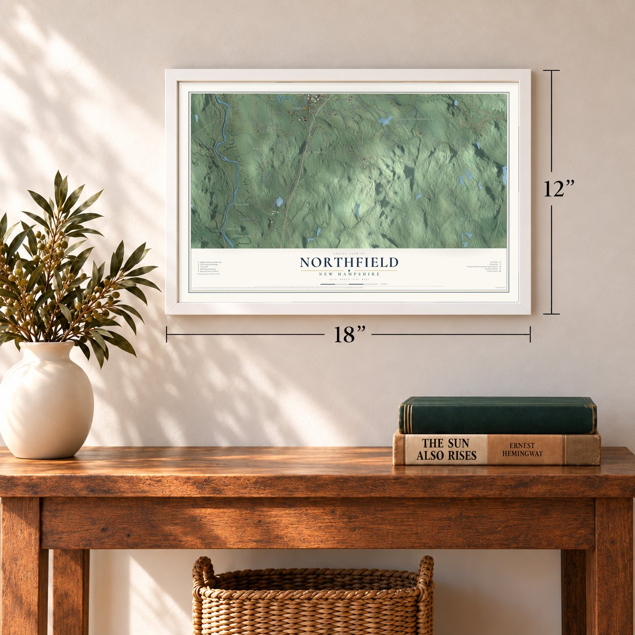
Unframed archival matte, a black wood frame or a white wood frame.
Up close
Geography Worth Displaying
This map was created using accurate cartographic data and authoritative geographic sources, including the U.S. Geological Survey (USGS) and FEMA. The map brings together terrain, waterways, roads, and building detail. The majority of the streets are labeled, houses are accurately depicted, and the topography is derived from government sources. Combining local data with carefully composed color and shading leads to this beautifully detailed Northfield artwork for your wall.
Rather than simply showing street outlines, we’ve included as many of the street names as we could reasonably fit on the map while keeping their names legible. Zoom in on the high resolution preview to see exactly what’s on the map. We truly set out to create a statement piece for anyone who loves Northfield. So whether it’s for you, or a gift for someone you love, we hope this map of Northfield brings back fond memories.
Explore the full map of Northfield, New Hampshire and read about the local places it shows.
Find your street
Names on the Northfield map
Every name below is printed on this map. Look for your street, your school, the park where you played, or the pond down the road.
Places and landmarks10
- Downtown
- Bean Hill
- Brown Hill
- Hart Hill
- Mount Tug
- Stillhouse Forest
- Knowles Pond Conservation Area
- Stevens Road
- Glines Park
- Tilton
Streets and roads58
- Park Street
- Concord Road
- Tilton Road
- Bay Street
- Shedd South Hill Road
- Fellows Hill Road
- Bay Hill Road
- Zion Hill Road
- Sargent Street
- Bean Hill Road
- Shaker Road
- Oak Hill Road
- Sandogardy Pond Road
- Shaw Road
- Knowles Pond Road
- Peverly Road
- Cross Mill Road
- Turnpike Road
- Pleasant Street
- Hodgdon Road
- Reservoir Road
- East Pleasant Street
- Rand Road
- Scribner Road
- Forrest Road
- Keasor Road
- Silver Lane
- Fiddlers Choice Road
- Union Road
- Fiske Road
Show all 58 streets
- Hidden Lane
- Caveney Drive
- Cofran Avenue
- Wethersfield Drive
- Blueberry Lane
- East Side Road
- Lambert Road
- Ledge Road
- Ski Hill Drive
- Highland Mountain Road
- Summer Street
- Elm Street
- Greenwood Drive
- Payson Road
- Diana Road
- Mount Tug Road
- Twin Bridge Road
- Mount Tugg Road
- Spaulding Road
- Ayers Road
- Haggett Farm Road
- Shedd Road
- Gifford Drive
- Susan Lane
- Hill Street
- Knowles Farm Road
- White Tail Drive
- Dearborn Road
Names are listed as they appear on the printed map. Zoom into the product photos to find them.
About Northfield, New Hampshire
Northfield is a town of 4,872 people in Merrimack County, on the south bank of the Winnipesaukee River across from Tilton. When Canterbury was set up as a frontier town in 1741, this land was its northern end. Tradition holds that its first settlers were scouts from Capt. Jeremiah Clough's garrison fort who patrolled here in the 1740s. They cleared farms, and dams on the rivers and brooks turned the first sawmills and gristmills.
By the 1770s the north fields held so many families that the long trip to Canterbury's center for town business had become a hardship. On March 30, 1780, 43 residents asked the state to make them a separate town named Northfield, and the legislature agreed. The Boston, Concord and Montreal Railroad arrived in 1848, and by 1859 the town of 1,332 people had a woolen factory and a mill making wrapping paper, both powered by the river.
“We your Humble Petitioners Living at a great Distance from ye Center of the Towne Some of us nine or ten Miles and Consequently at a very great disadvantage in joining with them all Publick Town affairs”
- An arch for peace, 1882Mill owner Charles E. Tilton admired Rome's Arch of Titus in 1881 and wanted one at home honoring peace, not war. Dow & Wheeler of Concord designed it in rough Concord granite for an Elm Street hill in Northfield, about 150 feet above the river. Finished in 1882 for 50,000 dollars, the Memorial Arch of Tilton has a red granite lion and a 50-ton sarcophagus at its base. Tilton was buried in Park Cemetery instead.
- A library from 1887Mary Hall Cummings left money for a library in 1887, and the Hall Memorial Library went up that year at 18 Park Street in red brick and brownstone. The Boston architects Wait & Cutter built it in the Richardsonian Romanesque style as a near twin of their Merrick Library in Brookfield, Massachusetts. It serves as the public library for both Northfield and Tilton.
- From mills to lensesThrough the 19th century and most of the 20th, Northfield kept both its farms and its factories. In time, big textile and paper mills replaced the first sawmills and gristmills. When those industries faded, many of the old mill buildings were torn down, while others were put to work making optical lenses and lead batteries.
- The boy who became FolsomAfter his father died, young Joseph Libbey Folsom came to live in Northfield with his family. He later attended West Point and served as an Army officer in California, where he became San Francisco's first Collector of the Port under American rule. He laid out a town near Sacramento, and after his death in 1855 it was renamed Folsom for him.
Keep exploring New Hampshire
Northfield is one of 279 New Hampshire towns we've mapped. Every dot on the map is a print of its own.
The search covers every state, New Hampshire first.
Near Northfield
Order 2 or more town maps and save 10%. Shown in the size and finish you picked above, so they hang as a set.
- Tilton Northfield 12" x 18" / Archival Matte Print $39.99
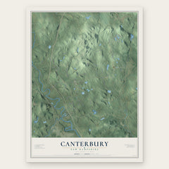
- Canterbury 12" x 18" / Archival Matte Print $39.99
- Tilton 12" x 18" / Archival Matte Print $39.99


More maps nearby: Belmont, Franklin, Boscawen, Loudon and Sanbornton.
The art of mapping a place
How This Map Was Made
Real places. Remarkable detail. Discover the layers that turn geographic data into a map of home.

The view from above
Aerial imagery reveals the character of the land: woodland, open fields, and the patterns of a place.

The shape of the land
Elevation data brings hills, valleys, and subtle changes in the landscape into view.

The details of home
Roads, waterways, and building footprints come together to make the map feel unmistakably local.

Geography becomes art
Considered color, shading, and typography bring the layers together in a map made for your wall.


Process illustrated with Mendon, Massachusetts. Aerial imagery: USDA NAIP. Terrain: USGS 3D Elevation Program. Map details and finished artwork: KNOWOL.
The Details
About This Print
Choose an archival matte print, or a black or white Ayous wood frame. The archival matte print is unframed.
Select your size and finish above to see the matching product image and price.
Materials & Craftsmanship
A contemporary map with the character of a classic atlas, printed on archival matte paper. Optional frames are made from Ayous wood.
Your printed map does not include the watermark shown in the full-map preview.
Shipping & Delivery
Free shipping within the United States. Every print is made to order in the USA.
Buying a gift? Add a note in your cart and we'll include it. We never put prices in the package.
Prints ship within 2 to 3 business days. Allow 7 to 10 days total from ordering for delivery. Timing may vary during holidays or periods of high order volume.
Read our shipping policy.
Returns and damaged prints
Each print is made to order. Change-of-mind refunds are not available after production.
If your print arrives damaged, misprinted or incorrect, contact support@knowol.com within 30 days of receiving it. Include your order number, photos and a description of the issue.
Read our full refund and replacement policy. For questions about your order, email support@knowol.com.