
Search for another town





Free U.S. delivery 7 to 10 days after you order
O'Fallon, Illinois Map Art
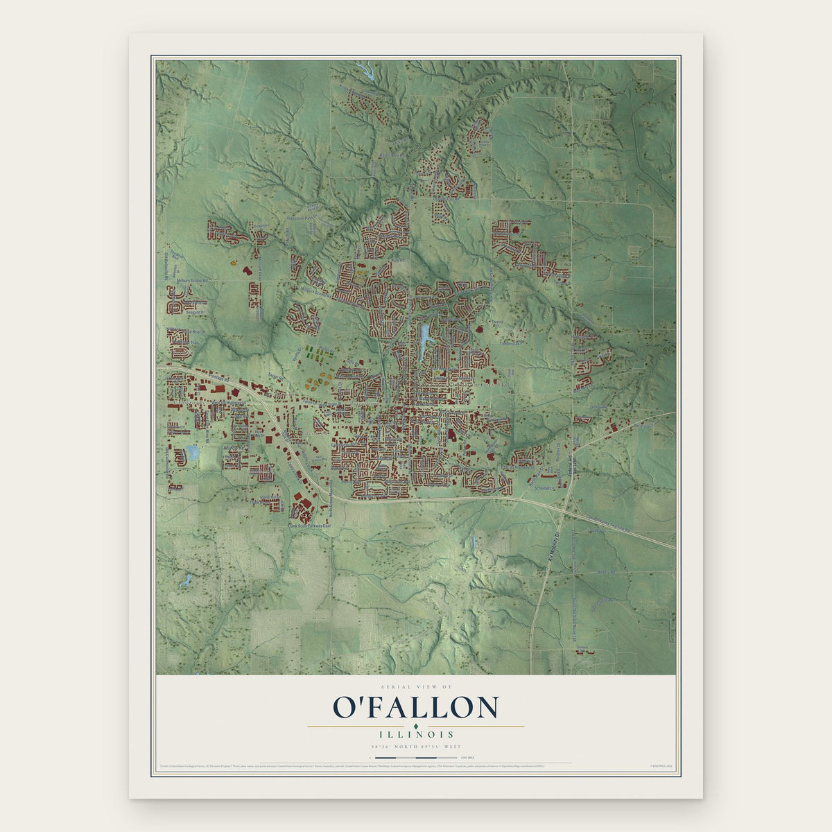
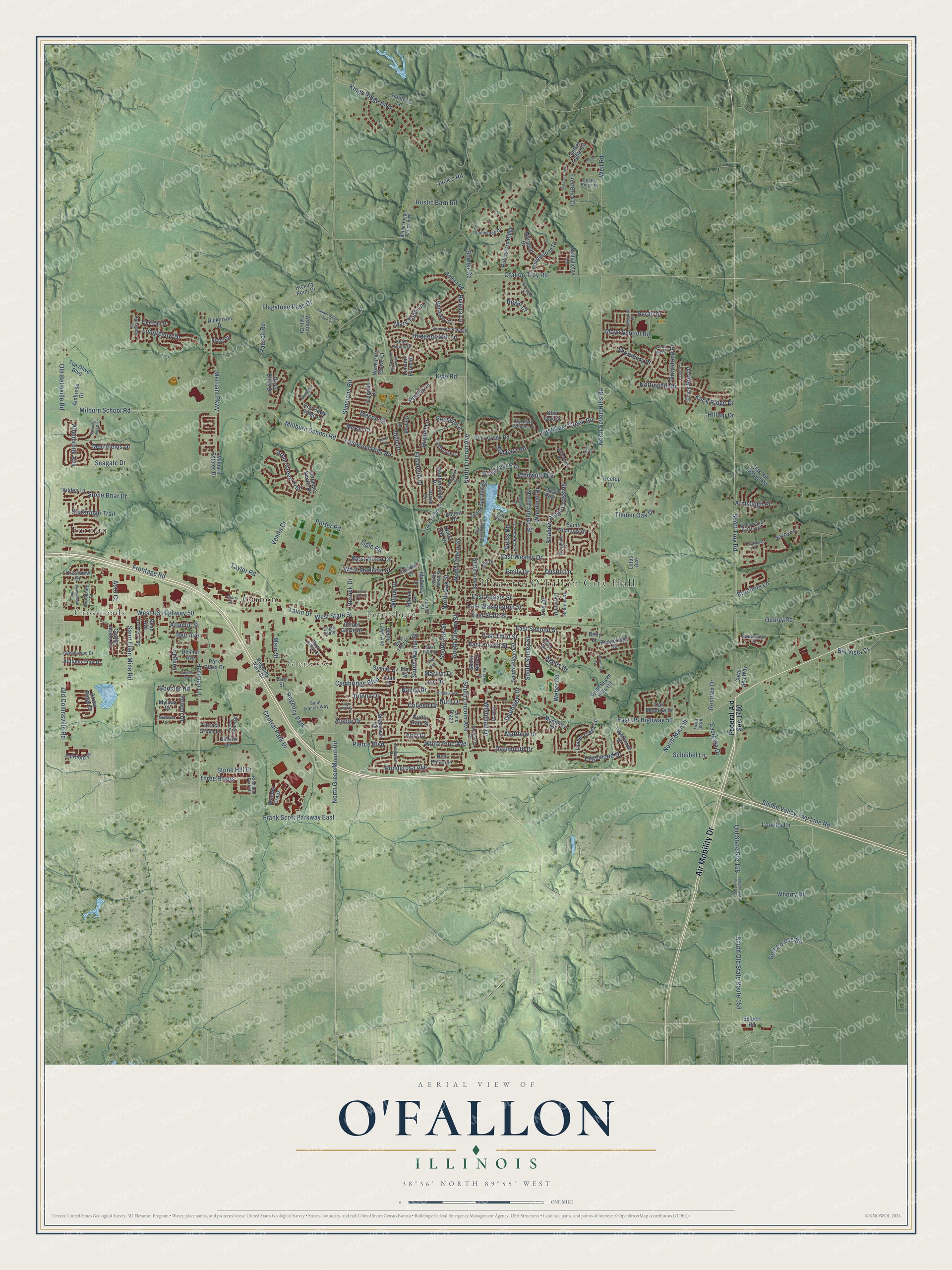
A new map of O'Fallon, Illinois, made in 2026 and printed to order on thick archival matte paper.
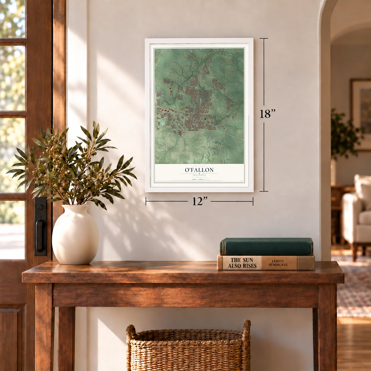
12" x 18" Archival Matte Print
A Map of Home. A Work of Art.
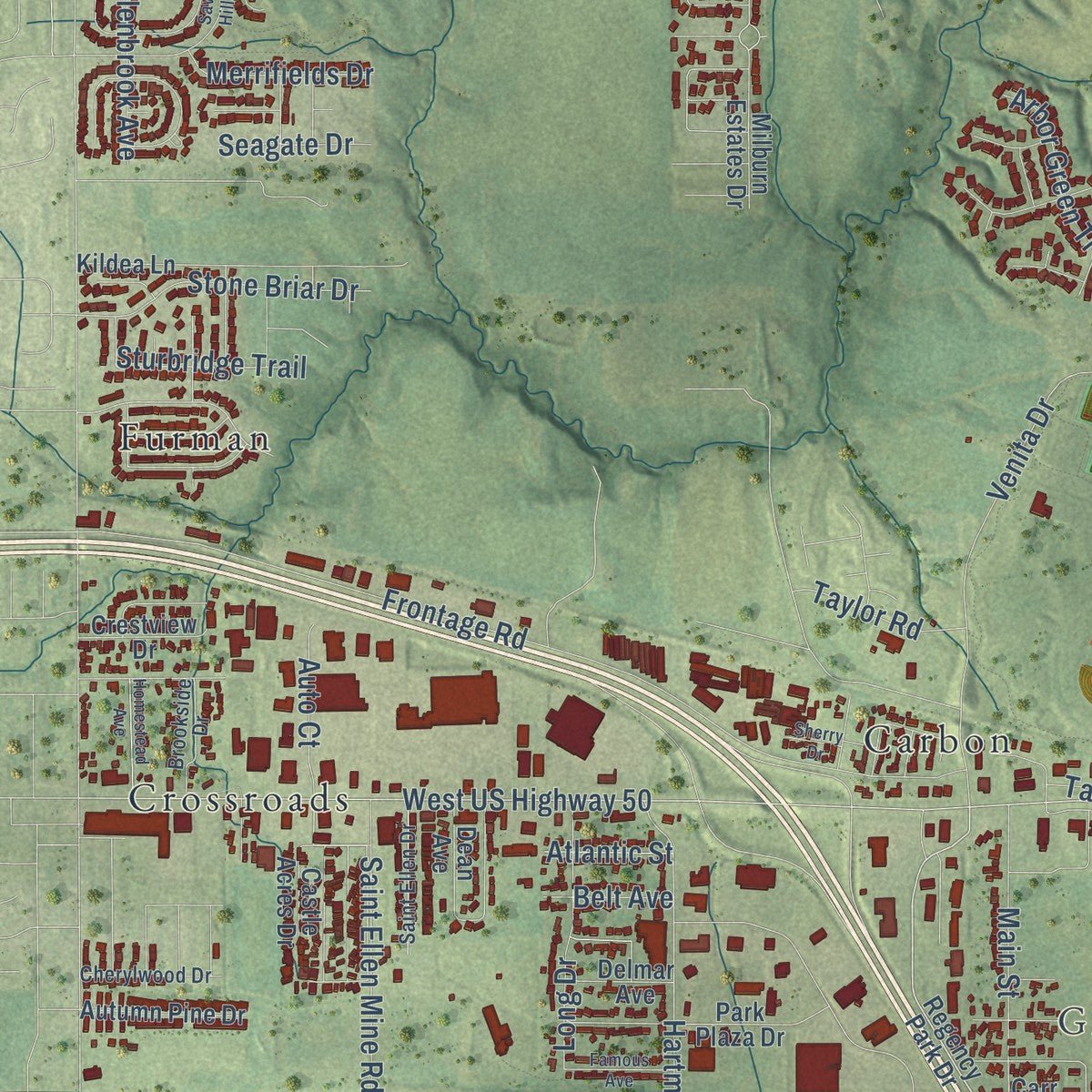
Explore O'Fallon, Illinois from a whole new perspective. Created using aerial imagery and detailed geographic data, this map captures O'Fallon building by building, with labeled streets, familiar landmarks, and shaded topographical relief that highlights the natural contours of the landscape.
Combining modern data with the timeless character of a vintage atlas, this map is just as interesting up close as it is beautiful on the wall. Whether you grew up in O'Fallon, spent memorable years there, or call it home today, this unique map is a great way to celebrate a place that means something to you. Zoom in on the preview to look for your street, and then order a print to put your memories on the wall.
Three ways to hang it
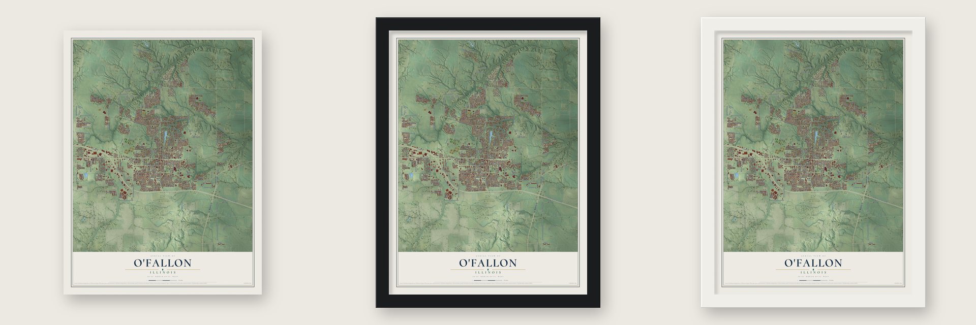
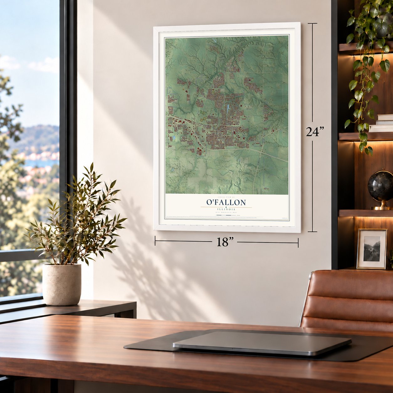
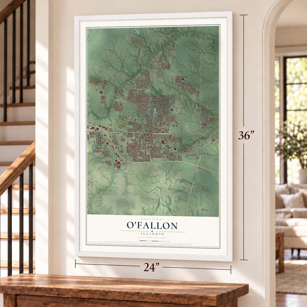
Unframed archival matte, a black wood frame or a white wood frame.
Up close
Geography Worth Displaying
This map was created using accurate cartographic data and authoritative geographic sources, including the U.S. Geological Survey and the Census Bureau. The map brings together terrain, waterways, roads, and building detail. The majority of the streets are labeled, houses are accurately depicted, and the topography is derived from government sources. Combining local data with carefully composed color and shading leads to this beautifully detailed O'Fallon artwork for your wall.
Rather than simply showing street outlines, we’ve included as many of the street names as we could reasonably fit on the map while keeping their names legible. Zoom in on the high resolution preview to see exactly what’s on the map. We truly set out to create a statement piece for anyone who loves O'Fallon. So whether it’s for you, or a gift for someone you love, we hope this map of O'Fallon brings back fond memories.
Read the story behind this map of O'Fallon, Illinois from 2026.

About O’Fallon, Illinois
O'Fallon is a city of 32,289 people in St. Clair County, 18 miles from downtown St. Louis. Before the town existed, pioneers had formed three settlements in what became O'Fallon precinct, known as the Ogle, Badgley and Lemen settlements. The town itself began in 1854 beside the rail line that later became the Baltimore and Ohio Railroad. It took the name of Colonel John O'Fallon, a wealthy St. Louis man who owned the townsite.
Town lots went up for auction on May 18, 1854, and a railroad depot downtown gave the new place its start. A post office opened the next year, and German settlers arrived in search of good farmland. O'Fallon became a village on January 27, 1874, and on March 14, 1905, its voters switched to a city form of government.
“The pick and shovel represent the coal mines that were so important to O'Fallon's economy for over 100 years. The locomotive represents the railroad to which O'Fallon owes its existence.”
- Growth in every census but oneO'Fallon has gained people in every census since its founding except 1930, when the count showed six fewer residents than the one before. The 1939 state guide counted 2,373 people in the town, and the 2020 census counted 32,289.
- A freshman's city flagIn 1974 the O'Fallon Junior Woman's Club held a contest to create a city flag. Michael Donovan, a freshman at O'Fallon Township High School, designed the winning seal. Louis Bradshaw finished the design in May 1975, and the city then adopted it as its official flag, in gold on blue, the high school's colors.
- The area's largest Veterans Day paradeEvery November O'Fallon holds a Veterans Day celebration at its Veterans Monument, along with a Veterans Day parade that is the largest in the area. The monument is also where the city gathers each May for Memorial Day to honor those who died serving the nation.
Find your street
Names on the O'Fallon map
Every name below is printed on this map. Look for your street, your school, the park where you played, or the pond down the road.
Places and landmarks7
- Historic O'Fallon City Hall
- Glenview
- Carbon
- Crossroads
- Furman
- Petersburg
- Regency Park
Streets and roads270
- Air Mobility Drive
- North Lincoln Avenue
- Scott Troy Road
- North Green Mount Road
- West State Street
- South Lincoln Avenue
- Pierce Boulevard
- East State Street
- Ofallon Troy Road
- Cambridge Boulevard
- East US Highway 50
- Elisabeth Drive
- West US Highway 50
- Frank Scott Parkway East
- North Main Street
- Erics Run Drive
- Old Collinsville Road
- Frontage Road
- North Seven Hills Road
- Central Park Drive
- Millburn School Road
- North Smiley Street
- Hartman Lane
- Milburn School Road
- East Third Street
- East Wesley Drive
- Shiloh Valley Twp Line Road
- Shadow Ridge Crossing
- Fairwood Hills Road
- Illini Drive
Show all 270 streets
- Kings Ridge Boulevard
- Taylor Road
- Kyle Road
- Simmons Road
- South Walnut Street
- South Old State Route 158
- Dartmouth Drive
- Venita Drive
- Merriam Parkway
- North Cherry Street
- Longfellow Drive
- Aladar Drive
- Donna Drive
- East Second Street
- Nancy Drive
- Wildwood Lane
- West Madison Street
- Nottinghill Drive
- Wherry Road
- Pausch Road
- Golf Course Road
- Saint Ellen Mine Road
- Agnes Drive
- Old State Route 158
- East Deer Creek Road
- Thornbury Place
- South Cherry Street
- Weber Road
- Weil Road
- Hodgens Mill Lane
- South Smiley Street
- Edgewood Drive
- Ponderosa Avenue
- Matthew Drive
- Stone Briar Drive
- Riviera Lane
- Main Street
- East Adams Street
- Old Belleville Road
- East Washington Street
- Arbor Green Trail
- Whitehall Drive
- Moye School Road
- Porter Road
- Flagstone Pass Drive
- Long Drive
- Louella Lane
- East Fourth Street
- Reiss Road
- Recplex Drive
- Allenbrook Avenue
- Timber Oak Drive
- Bossler Lane
- Amy Drive
- Joy Drive
- Sturbridge Trail
- Three Rivers
- Buran Drive
- Bowler Road
- Dustin Lane
- North Oak Street
- Emily Drive
- Peoria Lane
- Macon Court
- Keck Ridge Drive
- Scheibel Lane
- South Oak Street
- West Nixon Drive
- Quarry Road
- White Pine Avenue
- Merrifields Drive
- Mary Todd Lane
- Eastgate Drive
- Booster Road
- Stone Hill Drive
- Schwarz Road
- Ogle Road
- Rustic Barn Road
- Jack's Road
- Southview Drive
- Greystone Place
- Woodleaf Drive
- Auto Court
- Armsleigh Place
- Ruppel Lane
- Talon Drive
- Bel Vista Court
- Borchers Lane
- Colleen Drive
- Hilltop Drive
- Seagate Drive
- Willow Drive
- Lee Drive
- Powell Drive
- Belt Avenue
- Marilyn Drive
- Atlantic Street
- Derrick Drive
- Ruth Drive
- Regal Court
- Federal-Aid Sec 1780
- Castle Acres Drive
- Regency Park Drive
- Hillock Lane
- Milburn Estates Drive
- Deer Creek Road
- Rutherford Ridge
- South Seven Hills Road
- Hearthstone Drive
- Saint Nicholas Drive
- Stantons Lane
- Coral Sea Way
- South Vine Street
- Kildea Lane
- Juniper Drive
- Fairfield Place
- Shamrock Drive
- South Hilgard Street
- Red Hawk Ridge Lane
- North Vine Street
- Lantern Lights Circle
- Carnegie Knolls Drive
- Conrad Lane
- Shallowbrook Drive
- Bethel Road
- Lincoln Farm Road
- Indian Springs Road
- Timber Creek Lane
- Hickory Point Drive
- Heatherwood Drive
- Oak Hill School Road
- Fired Brick Drive
- Ashton Falls Drive
- Tazewell Drive
- Civic Plaza
- Edna Drive
- Terrace Green Lane
- Betty Lane
- Autumn Pine Drive
- Callaway Court
- Park Plaza Drive
- Boulder Creek
- Quail Run
- Hawthorne Place
- Oriole Drive
- South Lawn Avenue
- White Oak Drive
- Center Grove Drive
- Thoreau Drive
- Granite Drive
- Arrow Ridge Drive
- Marigold Drive
- Titan Drive
- Monterey Drive
- River Birch Drive
- Carson Drive
- Mulberry Lane
- Pepperidge Drive
- Nathaliefay Lane
- Dickinson Drive
- Red Pine Avenue
- Ambrose Drive
- Oak Meadow Drive
- Dean Avenue
- Crestview Drive
- North Parc Grove Court
- Mercer Court
- Robert Drive
- Delmar Avenue
- Savoy Lane
- Spruce Drive
- Elm Street
- Glen Oak Drive
- Mylaun Drive
- Seibert Road
- Tea Olive Boulevard
- Treetop Lane
- Lotus Avenue
- Frost Court
- Griffin Gate Street
- Carr Street
- Saint Francis Way
- Yale Drive
- West Third Street
- Summerlin Ridge
- Victoria Lane
- Richland Park Drive
- Bethel Ridge Farms Boulevard
- West Fifth Street
- Wellesley Drive
- Misty Valley Drive
- Longmeade Drive
- East Belpre Drive
- Saint Ellen Drive
- Woodlake Court
- Glen Hollow Drive
- Cherylwood Drive
- Fieldspring Court
- Highland Estates Drive
- Braeswood Estates Drive
- Forest Green Drive
- North Cedar Street
- Sweetwater Lane
- Coles County Drive
- Brookside Drive
- Behrens Drive
- Hollander Court
- Cobble Ridge Drive
- Charles Street
- Julia Drive
- Eagle Center
- Fox Run
- Arbor Parkway
- Treybrooke Place
- Savannah Hills Boulevard
- Oxford Hill Road
- Natalyns Trce
- Timber Ridge Trace Drive
- Cardiff Court
- Stonybrook Drive
- Parkview Drive
- West Lakeshore Drive
- Virginia Avenue
- Berringer Drive
- Homestead Avenue
- Shoreline Drive
- Applewhite Road
- Bristlecone Drive
- Famous Avenue
- Joshua Drive
- Meddows Lane
- Wolfpass Drive
- Peach Orchard Road
- Usher Drive
- Jenna Lee Lane
- Anne Avenue
- Morel Court
- High Cliff Drive
- Sherry Drive
- Lorien Court
Names are listed as they appear on the printed map. Zoom into the product photos to find them.
The art of mapping a place
How This Map Was Made
Real places. Remarkable detail. Discover the layers that turn geographic data into a map of home.

The view from above
Aerial imagery reveals the character of the land: woodland, open fields, and the patterns of a place.

The shape of the land
Elevation data brings hills, valleys, and subtle changes in the landscape into view.

The details of home
Roads, waterways, and building footprints come together to make the map feel unmistakably local.

Geography becomes art
Considered color, shading, and typography bring the layers together in a map made for your wall.


Process illustrated with Mendon, Massachusetts. Aerial imagery: USDA NAIP. Terrain: USGS 3D Elevation Program. Map details and finished artwork: KNOWOL.
The Details
About This Print
Choose an archival matte print, or a black or white Ayous wood frame. The archival matte print is unframed.
Select your size and finish above to see the matching product image and price.
Materials & Craftsmanship
A contemporary map with the character of a classic atlas, printed on archival matte paper. Optional frames are made from Ayous wood.
Your printed map does not include the watermark shown in the full-map preview.
Shipping & Delivery
Free shipping within the United States. Every print is made to order in the USA.
Buying a gift? Add a note in your cart and we'll include it. We never put prices in the package.
Prints ship within 2 to 3 business days. Allow 7 to 10 days total from ordering for delivery. Timing may vary during holidays or periods of high order volume.
Read our shipping policy.
Returns and damaged prints
Each print is made to order. Change-of-mind refunds are not available after production.
If your print arrives damaged, misprinted or incorrect, contact support@knowol.com within 30 days of receiving it. Include your order number, photos and a description of the issue.
Read our full refund and replacement policy. For questions about your order, email support@knowol.com.
Find your town
Looking for another city?
Find a map of home in our Illinois collection, or any town in the country.
Nearby
Maps of towns near O'Fallon
Know someone from one of these towns? Their map makes a great gift.
 Shiloh
, Illinois
From $39.99See the map
 Fairview Heights
, Illinois
From $39.99See the map
 Swansea
, Illinois
From $39.99See the map
More maps nearby: Scott AFB, Lebanon, Caseyville, Belleville and Collinsville.