
Search for another town


Free U.S. delivery 7 to 10 days after you order
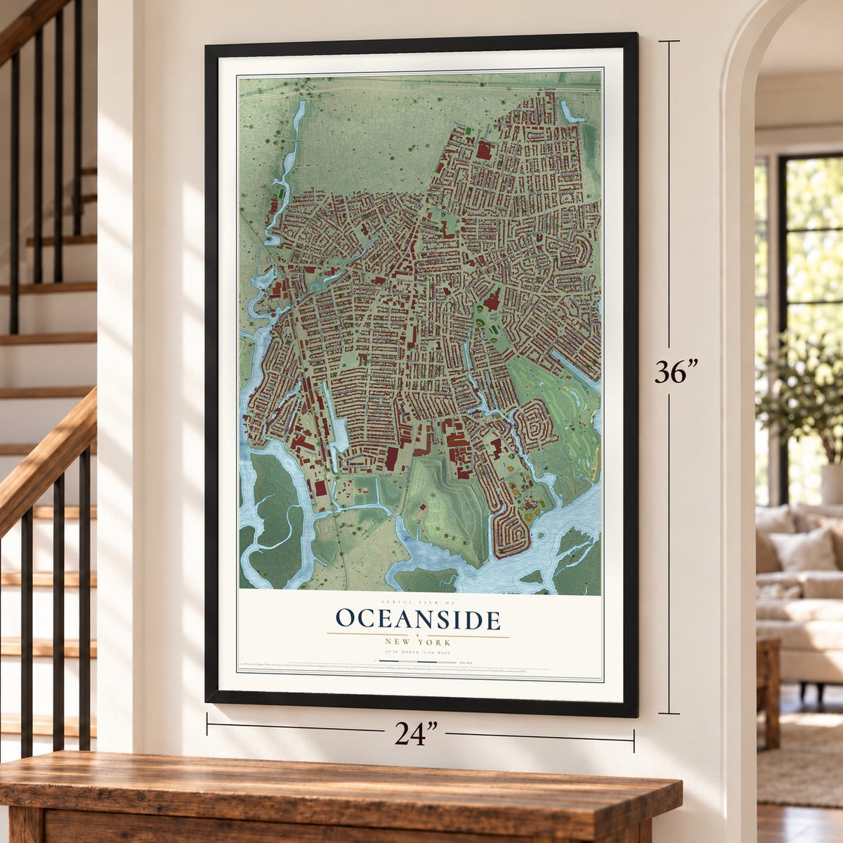
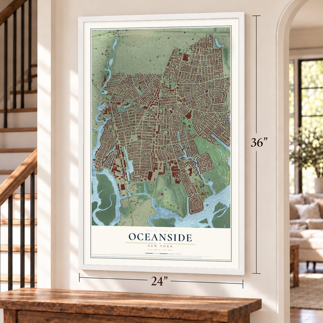
Oceanside, New York Map Art
Building by building, with labeled streets and shaded relief.
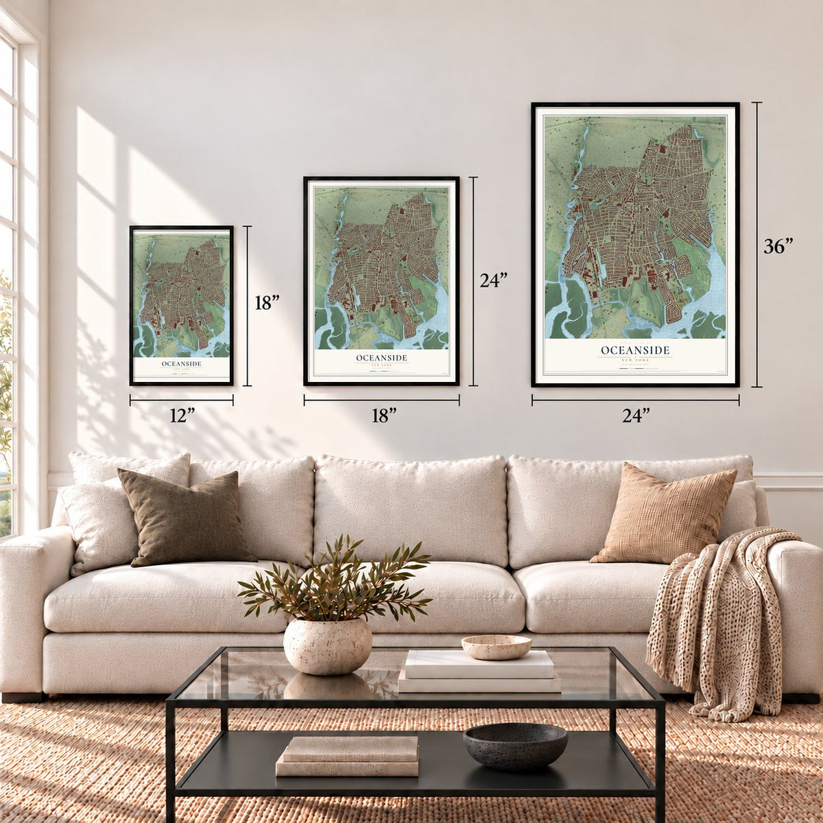
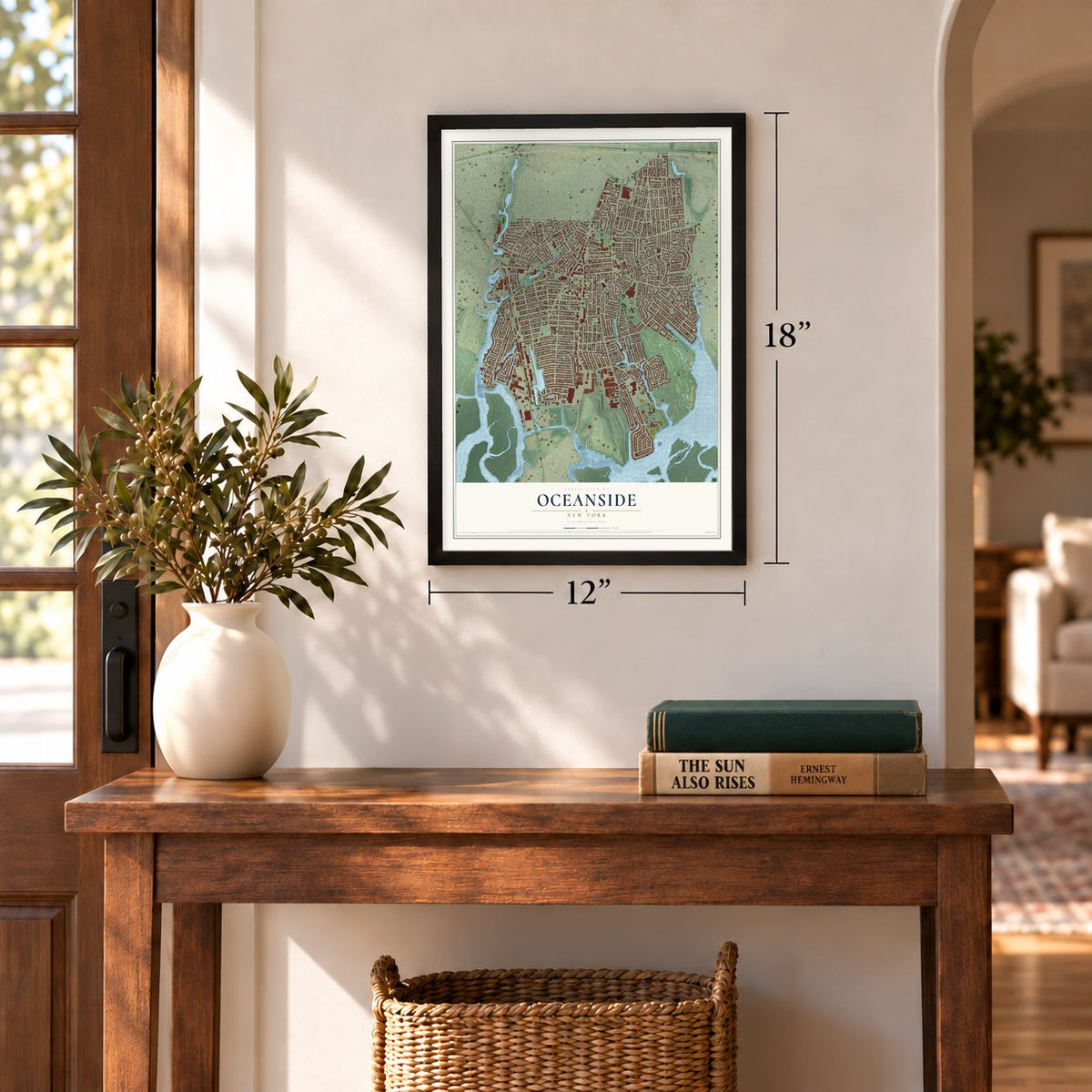
12" x 18" Archival Matte Print
A Map of Home. A Work of Art.
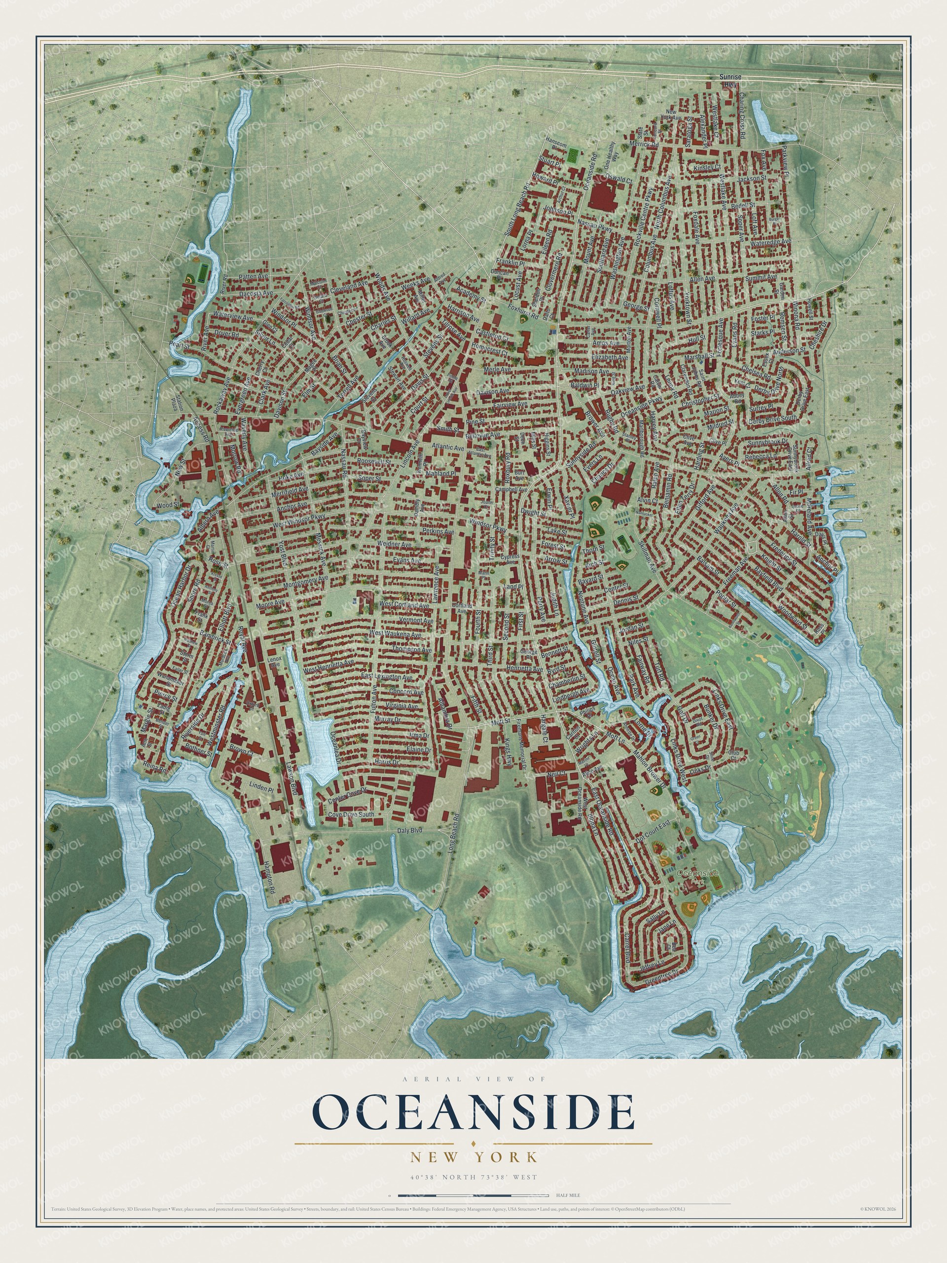
Explore Oceanside, New York from a whole new perspective. Created using aerial imagery and detailed geographic data, this map captures Oceanside building by building, with labeled streets, familiar landmarks, and shaded topographical relief that highlights the natural contours of the landscape.
Combining modern data with the timeless character of a vintage atlas, this map is just as interesting up close as it is beautiful on the wall. Whether you grew up in Oceanside, spent memorable years there, or call it home today, this unique map is a great way to celebrate a place that means something to you. Zoom in on the preview to look for your street, and then order a print to put your memories on the wall.
Three ways to hang it
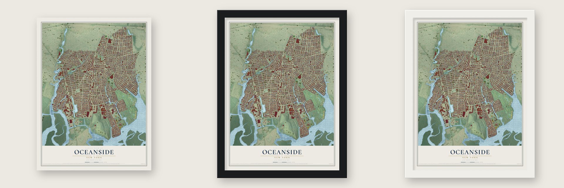
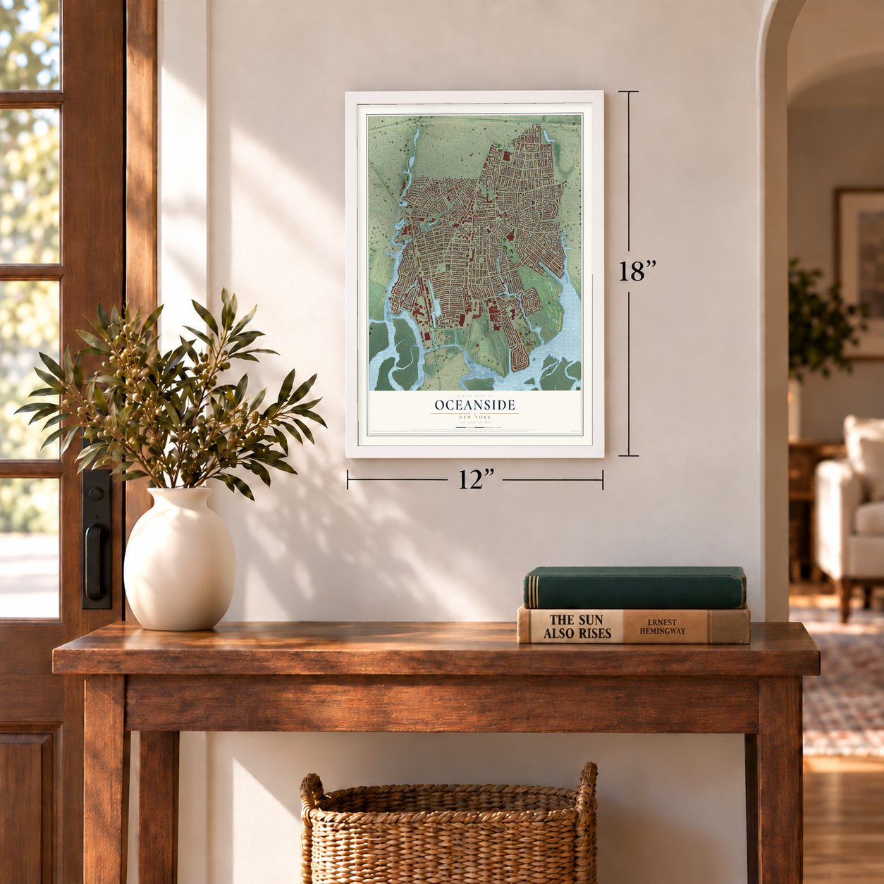
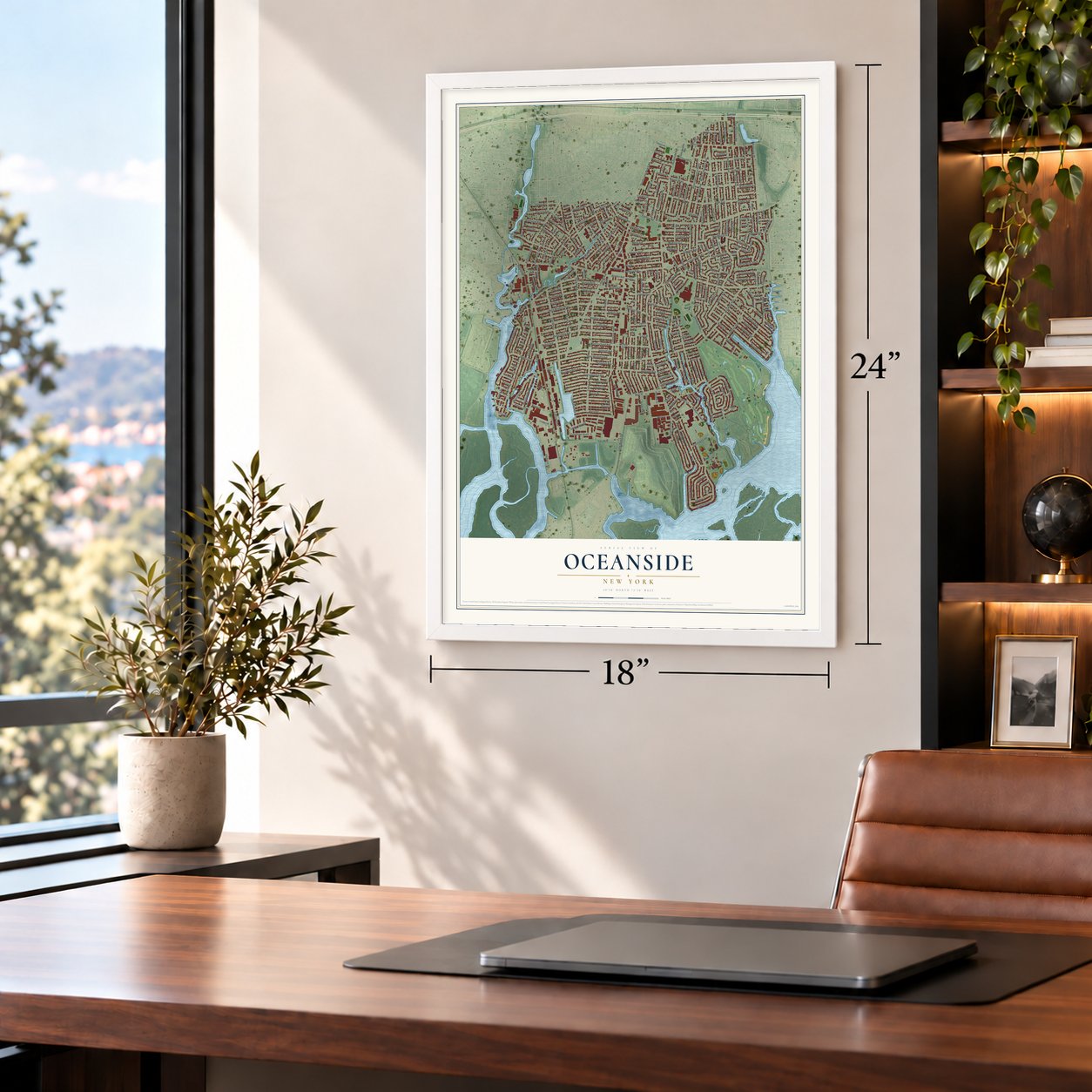
Unframed archival matte, a black wood frame or a white wood frame.
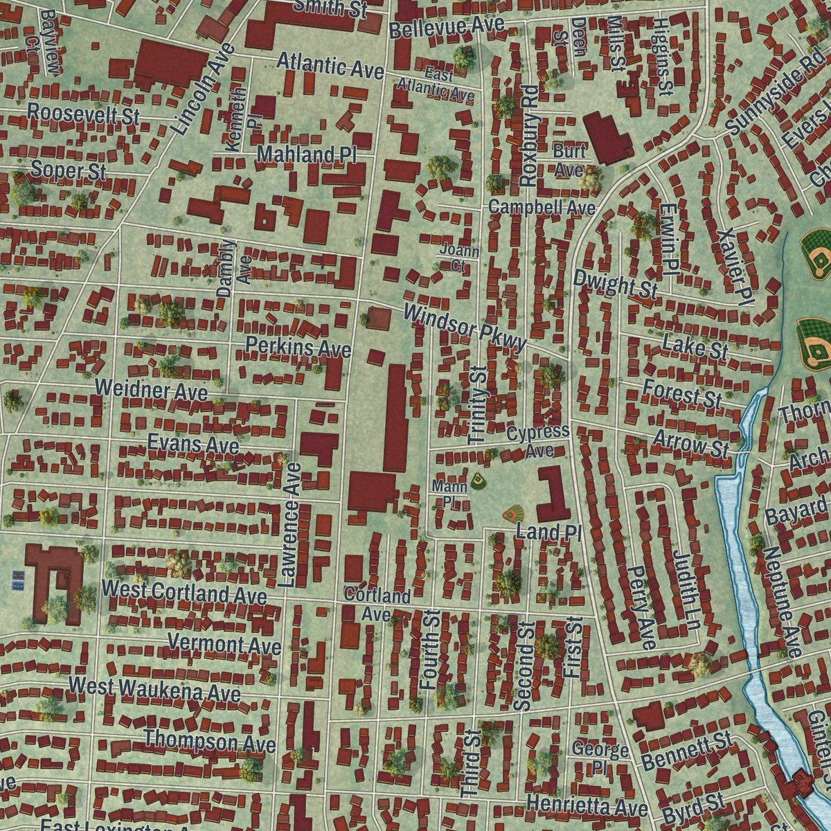
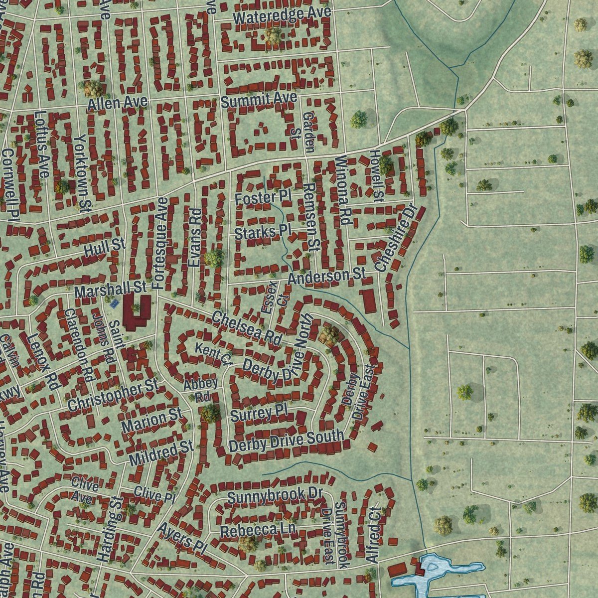
Up close
Geography Worth Displaying
This map was created using accurate cartographic data and authoritative geographic sources, including the U.S. Geological Survey (USGS) and FEMA. The map brings together terrain, waterways, roads, and building detail. The majority of the streets are labeled, houses are accurately depicted, and the topography is derived from government sources. Combining local data with carefully composed color and shading leads to this beautifully detailed Oceanside artwork for your wall.
Rather than simply showing street outlines, we’ve included as many of the street names as we could reasonably fit on the map while keeping their names legible. Zoom in on the high resolution preview to see exactly what’s on the map. We truly set out to create a statement piece for anyone who loves Oceanside. So whether it’s for you, or a gift for someone you love, we hope this map of Oceanside brings back fond memories.
Explore the full map of Oceanside, New York and read about the local places it shows.

Find your street
Names on the Oceanside map
Every name below is printed on this map. Look for your street, your school, the park where you played, or the pond down the road.
Places and landmarks1
- Oceanside Park
Streets and roads342
- Oceanside Road
- Foxhurst Road
- Mott Street
- South Long Beach Road
- East Oceanside Road
- Freeman Avenue
- Mott Lane
- Long Beach Road
- Weidner Avenue
- Lawson Boulevard
- Waukena Avenue
- Brower Avenue
- Fortesque Avenue
- Atlantic Avenue
- Harvey Avenue
- Fulton Avenue
- Skillman Avenue
- Yost Boulevard
- Anchor Avenue
- Hampton Road
- Lawrence Avenue
- Carrel Boulevard
- Yorktown Street
- Daly Boulevard
- Soper Avenue
- West Windsor Parkway
- Lincoln Avenue
- Montgomery Avenue
- Perkins Avenue
- Fourth Street
Show all 342 streets
- Greentree Drive
- Messick Avenue
- Evans Avenue
- West Waukena Avenue
- Moore Avenue
- Washington Avenue
- Nassau Road
- Allen Avenue
- Vermont Avenue
- Foxdale Avenue
- Royal Avenue
- Woodward Street
- Harold Street
- Bayfield Boulevard
- Merrick Road
- Park Avenue
- Rockville Centre Parkway
- Nassau Parkway
- Rockaway Avenue
- Terrell Avenue
- Westlake Avenue
- Columbus Avenue
- Parkview Place
- Ocean Harbor Drive
- Bedell Street
- Frederick Street
- Knight Street
- Woods Avenue
- Fairview Avenue
- Bayside Avenue
- West Henrietta Avenue
- Fifth Street
- Jackson Street
- Stevens Street
- Links Drive East
- West Cortland Avenue
- Third Street
- Oceanside Parkway
- Thompson Avenue
- Mahlon Brower Drive
- North Columbus Avenue
- Pearl Street
- Perry Avenue
- Trinity Street
- Roxbury Road
- Elliott Boulevard
- Benjamin Road
- Riverside Drive
- Davison Avenue
- Second Street
- Concord Avenue
- Mount Avenue
- Merrifield Avenue
- Chelsea Road
- Illona Lane
- Virginia Avenue
- East Lexington Avenue
- Silver Lane
- Davis Street
- Golf Drive
- Henrietta Avenue
- Merle Avenue
- Bunker Drive
- Irma Drive
- Bellevue Avenue
- Loftus Avenue
- Elaine Drive
- Pine Street
- Murray Drive
- New Street
- Harris Drive
- Judith Lane
- First Street
- Links Drive West
- Lindbergh Avenue
- Windsor Place
- Loft Avenue
- Poplar Street
- Center Cove Drive
- Neptune Avenue
- Fox Avenue
- Ocean Avenue
- Southard Avenue
- Alhambra Drive
- Westminster Road
- Moreland Avenue
- Cheshire Drive
- Hoke Avenue
- Mildred Street
- Marshall Street
- Sally Lane
- Chester Street
- Charing Cross Road
- Gifford Avenue
- Patten Avenue
- Harrison Avenue
- Christopher Street
- Elizabeth Avenue
- Amos Avenue
- Clark Avenue
- Anderson Street
- Eileen Road
- Windsor Avenue
- Oakview Avenue
- Madison Avenue
- Shore Road
- Windsor Parkway
- Court Street
- Hull Street
- Dacosta Avenue
- Johnson Place
- Balsam Street
- Bambrick Street
- Jeffrey Lane
- Jordan Street
- Clovermere Road
- Roosevelt Street
- Sunnyside Road
- Ellen Terry Drive
- Cleveland Avenue
- Cove Drive South
- Waterview Avenue
- Allon Road
- Fairway Road
- Charles Street
- River Avenue
- Davison Street
- Derby Drive North
- Rugby Road
- Howard Place
- Dennis Street
- Turf Road
- Alexander Place
- Dwight Street
- Arrow Street
- Westlake Court
- Neil Court
- Land Place
- Jane Lane
- Franklin Place
- Evans Road
- Waverly Avenue
- Rebecca Lane
- Dot Court East
- Xavier Place
- Brian Street
- Hargale Court
- Summit Avenue
- Wateredge Avenue
- Saratoga Street
- Remsen Street
- Winona Road
- Soper Street
- Derby Drive South
- Center Street
- Mahland Place
- Kings Highway
- Chance Drive
- Lorrie Drive
- Oswald Court
- Lake Street
- Weeks Avenue
- Dover Road
- Harding Street
- Locust Avenue
- Oceanlea Drive
- Evergreen Avenue
- Homecrest Court
- Sunnybrook Drive
- Brown Court
- Ayers Place
- Lenox Road
- Bayard Street
- Erwin Place
- Evers Lane
- Castleton Court
- Chamberlin Street
- Ralph Avenue
- Forest Street
- Smith Street
- Surrey Place
- Wrights Lane
- Academy Street
- Access Road
- Cornwell Place
- Byrd Street
- Willard Avenue
- Anchor Place
- Starks Place
- Bennett Street
- Albern Avenue
- Bothner Street
- Morrow Road
- Foster Place
- Arch Street
- Fir Place
- Baldwin Place
- Marion Street
- Tilrose Avenue
- George Street
- Margie Street
- Linden Place
- Alvin Court
- Links Drive
- Gintell Street
- Niles Street
- Reina Road
- Kinsley Court
- Stuart Place
- Alfred Court
- Pierce Street
- Rose Street
- Elm Street
- Lorna Place
- Wood Street
- Thorn Street
- Sunrise Highway
- Ross Place
- Marlborough Road
- Morton Avenue
- Derby Drive East
- Firemans Memorial Drive
- Allon Street
- West Oceanside Road
- Clarendon Road
- Sheldon Place
- Dambly Avenue
- Saint Johns Road
- Cortland Avenue
- Cypress Avenue
- New York Avenue
- Clive Avenue
- Campbell Avenue
- Garden Street
- One Healthy Way
- Stewart Avenue
- Sunnybrook Drive East
- Wanamaker Street
- Miller Avenue
- Kenneth Place
- Davis Place
- Duncan Place
- Calvin Road
- Stevens Court
- Brook Avenue
- Higgins Street
- Station Plaza
- Essex Court
- Hanscom Place
- Zadig Street
- Clive Place
- Howell Street
- Alice Avenue
- River Road
- Bayview Court
- Magee Place
- Cherry Court
- George Place
- Glen Court
- State Street
- Burt Avenue
- Philips Place
- Carlton Court
- Abbey Road
- Mills Street
- Deen Street
- Kent Court
- Cedar Court
- Storm Street
- Bea Court
- Lenox Avenue
- Dalto Court
- Frank Street
- Ann Street
- Club Court
- Murdock Avenue
- Carter Avenue
- Concord Street
- East Atlantic Avenue
- Annette Drive
- Riverside Avenue
- Arthur Court
- Divot Road
- Chester Place
- Poole Street
- Bender Street
- Slice Drive
- King Street
- Grove Place
- Martin Court
- Malcolm Court
- Gerard Court
- Stanley Place
- Roswell Avenue
- Faller Street
- Oxford Court
- Aldred Avenue
- Morea Street
- Joann Court
- Mann Place
- Nantucket Lane
- Farrington Road
- Yale Street
- Lower Lincoln Avenue
- Anthony Street
- Kenilworth Street
- Glenwood Court
- Matthew Street
- Maxine Court
- Kresse Street
- Burger Place
- Green Court
Names are listed as they appear on the printed map. Zoom into the product photos to find them.
Keep exploring New York
Oceanside is one of 2,165 New York towns we've mapped. Every dot on the map is a print of its own.
The search covers every state, New York first.
Near Oceanside
Order 2 or more town maps and save 10%. Shown in the size and finish you picked above, so they hang as a set.
- Town of Hempstead 12" x 18" / Archival Matte Print $39.99
- Bay Park 12" x 18" / Archival Matte Print $39.99
- East Rockaway 12" x 18" / Archival Matte Print $39.99
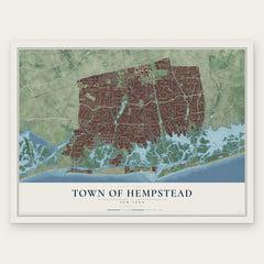
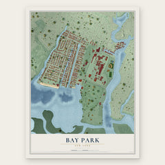

More maps nearby: Barnum Island, Baldwin, Island Park, Rockville Centre and Hewlett Harbor.
The art of mapping a place
How This Map Was Made
Real places. Remarkable detail. Discover the layers that turn geographic data into a map of home.

The view from above
Aerial imagery reveals the character of the land: woodland, open fields, and the patterns of a place.

The shape of the land
Elevation data brings hills, valleys, and subtle changes in the landscape into view.

The details of home
Roads, waterways, and building footprints come together to make the map feel unmistakably local.

Geography becomes art
Considered color, shading, and typography bring the layers together in a map made for your wall.


Process illustrated with Mendon, Massachusetts. Aerial imagery: USDA NAIP. Terrain: USGS 3D Elevation Program. Map details and finished artwork: KNOWOL.
The Details
About This Print
Choose an archival matte print, or a black or white Ayous wood frame. The archival matte print is unframed.
Select your size and finish above to see the matching product image and price.
Materials & Craftsmanship
A contemporary map with the character of a classic atlas, printed on archival matte paper. Optional frames are made from Ayous wood.
Your printed map does not include the watermark shown in the full-map preview.
Shipping & Delivery
Free shipping within the United States. Every print is made to order in the USA.
Buying a gift? Add a note in your cart and we'll include it. We never put prices in the package.
Prints ship within 2 to 3 business days. Allow 7 to 10 days total from ordering for delivery. Timing may vary during holidays or periods of high order volume.
Read our shipping policy.
Returns and damaged prints
Each print is made to order. Change-of-mind refunds are not available after production.
If your print arrives damaged, misprinted or incorrect, contact support@knowol.com within 30 days of receiving it. Include your order number, photos and a description of the issue.
Read our full refund and replacement policy. For questions about your order, email support@knowol.com.