
Search for another town





Free U.S. delivery 7 to 10 days after you order
Octa, Ohio Map Art
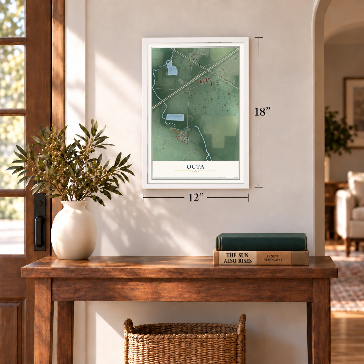
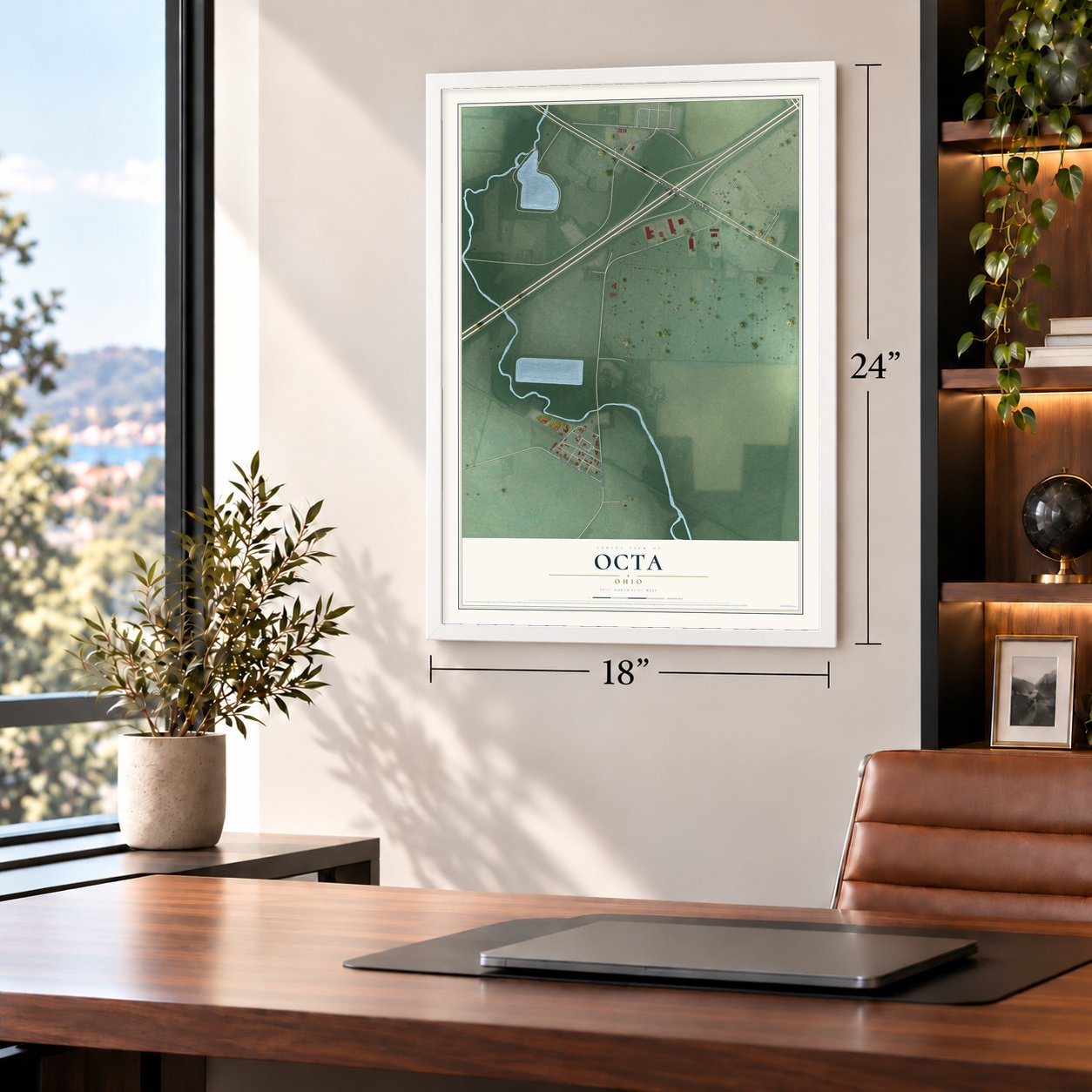
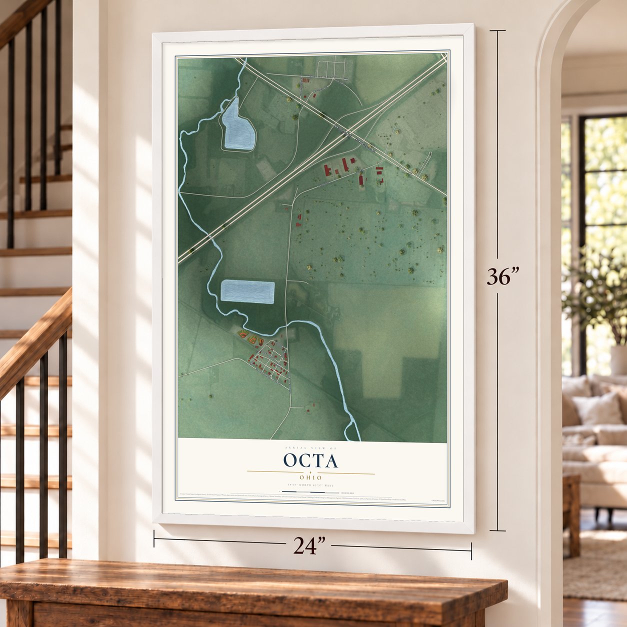
A new map of Octa, Ohio, made in 2026 and printed to order on thick archival matte paper.
12" x 18" Archival Matte Print
A Map of Home. A Work of Art.
This beautifully detailed map of Octa, Ohio was created in 2026 using aerial imagery combined with modern topographical, census, street and landmark data. It's a modern aerial view of Octa in Fayette County, Ohio, that combines modern data with a vintage aesthetic. Zoom in on the preview and look for your block.

Three ways to hang it
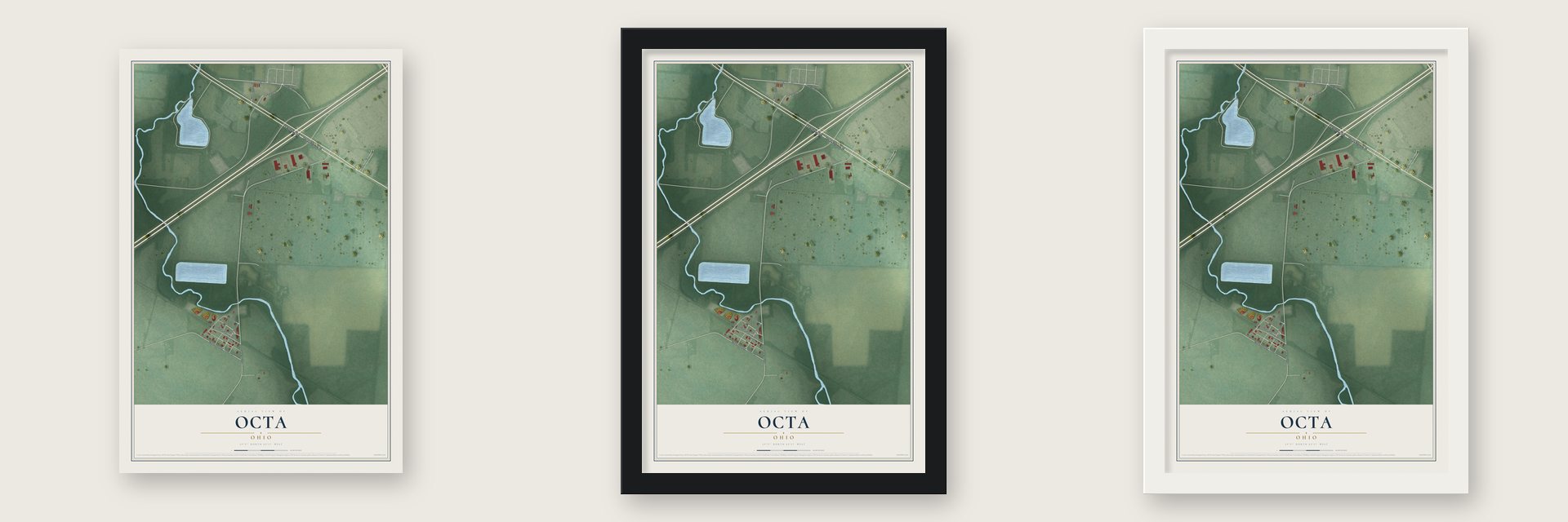
Unframed archival matte, a black wood frame or a white wood frame.
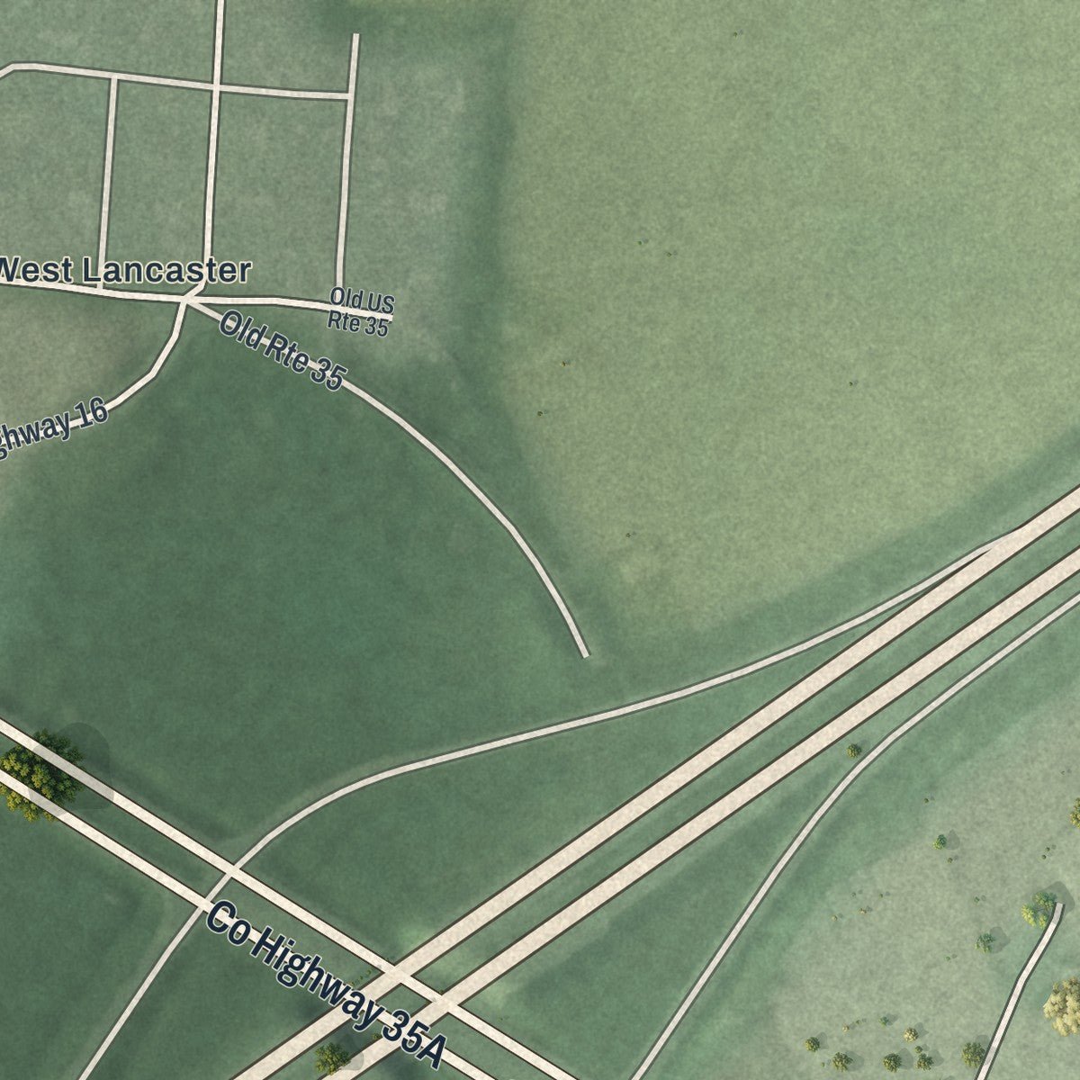
Up close
Real geography. Art worth displaying.
This map was created using accurate cartographic data and authoritative geographic sources, including the U.S. Geological Survey and the Census Bureau. The map brings together terrain, waterways, roads, and building detail. The majority of the streets are labeled, houses are accurately depicted, and the topography is derived from government sources. Combining local data with carefully composed color and shading leads to this beautifully detailed Octa artwork for your wall.
Rather than simply showing street outlines, we’ve included as many of the street names as we could reasonably fit on the map while keeping their names legible. Zoom in on the high resolution preview to see exactly what’s on the map. We truly set out to create a statement piece for anyone who loves Octa. So whether it’s for you, or a gift for someone you love, we hope this map of Octa brings back fond memories.

About Octa, Ohio
Octa is a small Fayette County village along Rattlesnake Creek. First laid out as Allentown by Elijah Allen, it later received its current name in honor of Octa Barnes. The village had 58 residents at the 2020 census, and its streets include Church Street, Hamilton Street, and North Railroad Street.
- Village OriginsElijah Allen laid out the settlement as Allentown and named it for himself.
- Octa BarnesThe village's present name honors a person named Octa Barnes.
- Postal YearsA post office named Octa operated from 1882 until 1929.
- Compact FootprintThe Census Bureau reports that the village covers 0.28 square miles, all of it land.
- Two ParksOne park has ball diamonds and swings, while a linear park runs from Octa toward Jamestown.
Find your street
Names on the Octa map
Every name below is printed on this map. Look for your street, your school, the park where you played, or the pond down the road.
Places and landmarks1
- West Lancaster
Streets and roads16
- Old US Highway 35
- North Railroad Street
- Hamilton Street
- County Highway 14
- Allen Road
- Church Street
- Pearson Octa Road
- Allen Road Northwest
- County Highway 16
- West Lancaster Road
- Old Route 35
- Allen Street
- Water Street
- County Highway 204
- South Railroad Street
- Old US Route 35
Names are listed as they appear on the printed map. Zoom into the product photos to find them.
The art of mapping a place
How This Map Was Made
Real places. Remarkable detail. Discover the layers that turn geographic data into a map of home.

The view from above
Aerial imagery reveals the character of the land: woodland, open fields, and the patterns of a place.

The shape of the land
Elevation data brings hills, valleys, and subtle changes in the landscape into view.

The details of home
Roads, waterways, and building footprints come together to make the map feel unmistakably local.

Geography becomes art
Considered color, shading, and typography bring the layers together in a map made for your wall.


Process illustrated with Mendon, Massachusetts. Aerial imagery: USDA NAIP. Terrain: USGS 3D Elevation Program. Map details and finished artwork: KNOWOL.
The Details
About This Print
Choose an archival matte print, or a black or white Ayous wood frame. The archival matte print is unframed.
Select your size and finish above to see the matching product image and price.
Materials & Craftsmanship
A contemporary map with the character of a classic atlas, printed on archival matte paper. Optional frames are made from Ayous wood.
Your printed map does not include the watermark shown in the full-map preview.
Shipping & Delivery
Free shipping within the United States. Every print is made to order in the USA.
Buying a gift? Add a note in your cart and we'll include it. We never put prices in the package.
Prints ship within 2 to 3 business days. Allow 7 to 10 days total from ordering for delivery. Timing may vary during holidays or periods of high order volume.
Read our shipping policy.
Returns and damaged prints
Each print is made to order. Change-of-mind refunds are not available after production.
If your print arrives damaged, misprinted or incorrect, contact support@knowol.com within 30 days of receiving it. Include your order number, photos and a description of the issue.
Read our full refund and replacement policy. For questions about your order, email support@knowol.com.
Find your town
Looking for another city?
Find a map of home in our Ohio collection.
Nearby
Maps of towns near Octa
Know someone from one of these towns? Their map makes a great gift.


