
Search for another town
Free U.S. delivery 7 to 10 days after you order
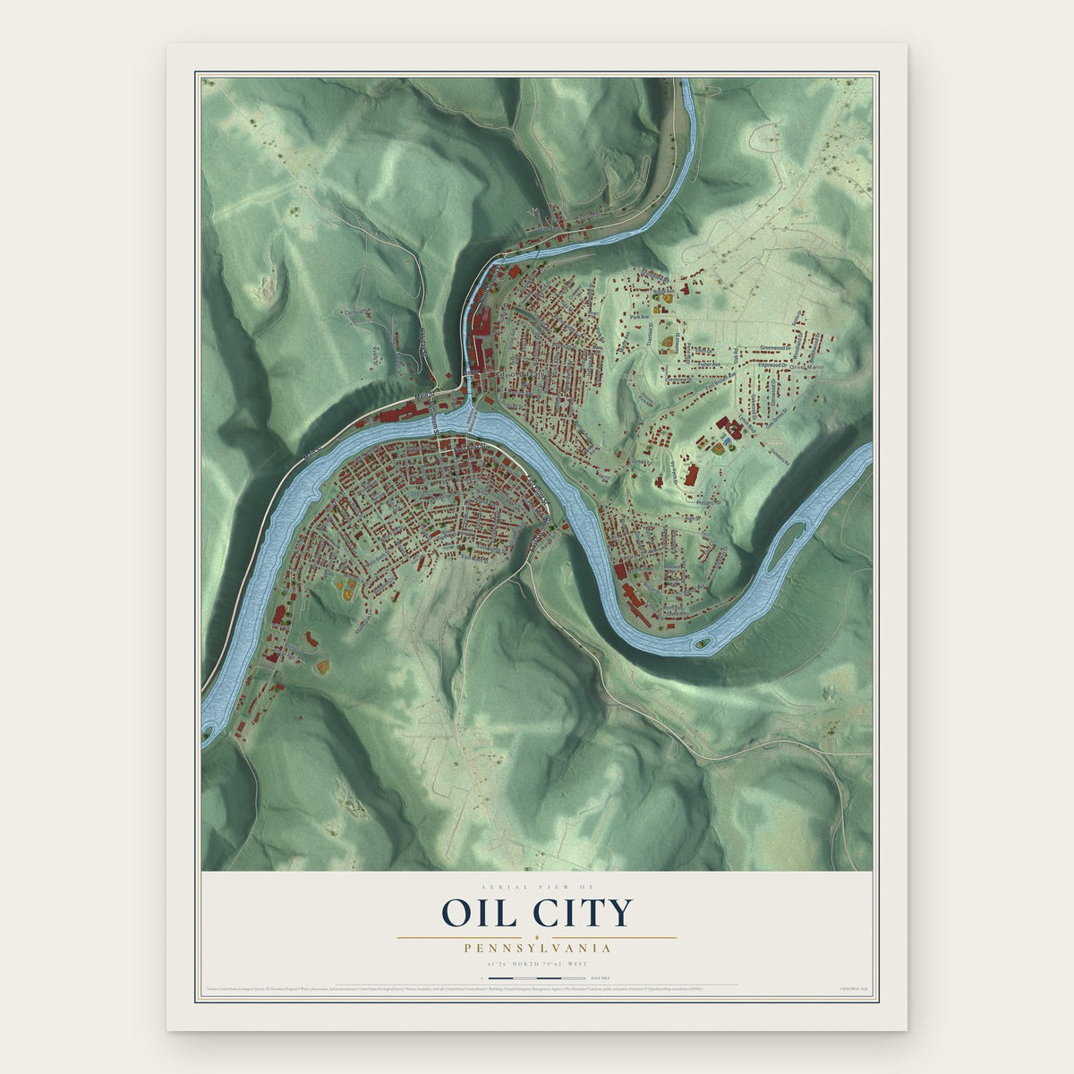
Oil City, Pennsylvania Map Art
Building by building, with labeled streets and shaded relief.
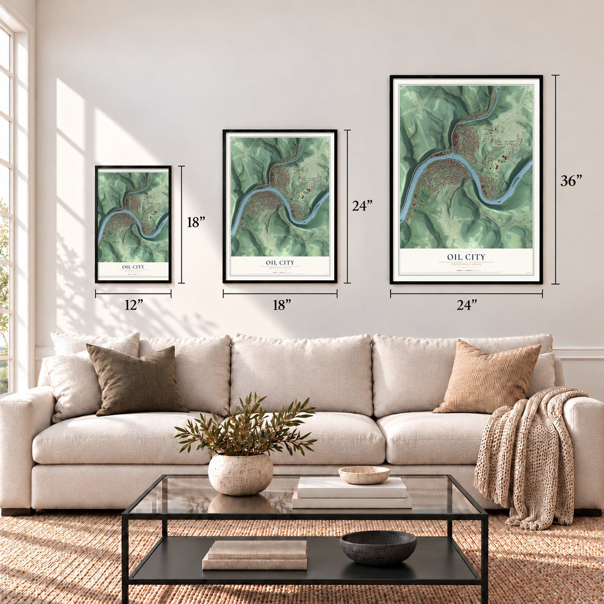
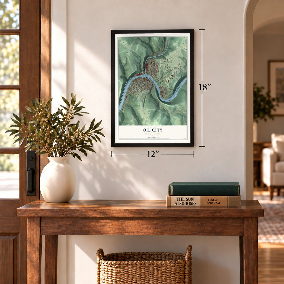
12" x 18" Archival Matte Print
A Map of Home. A Work of Art.
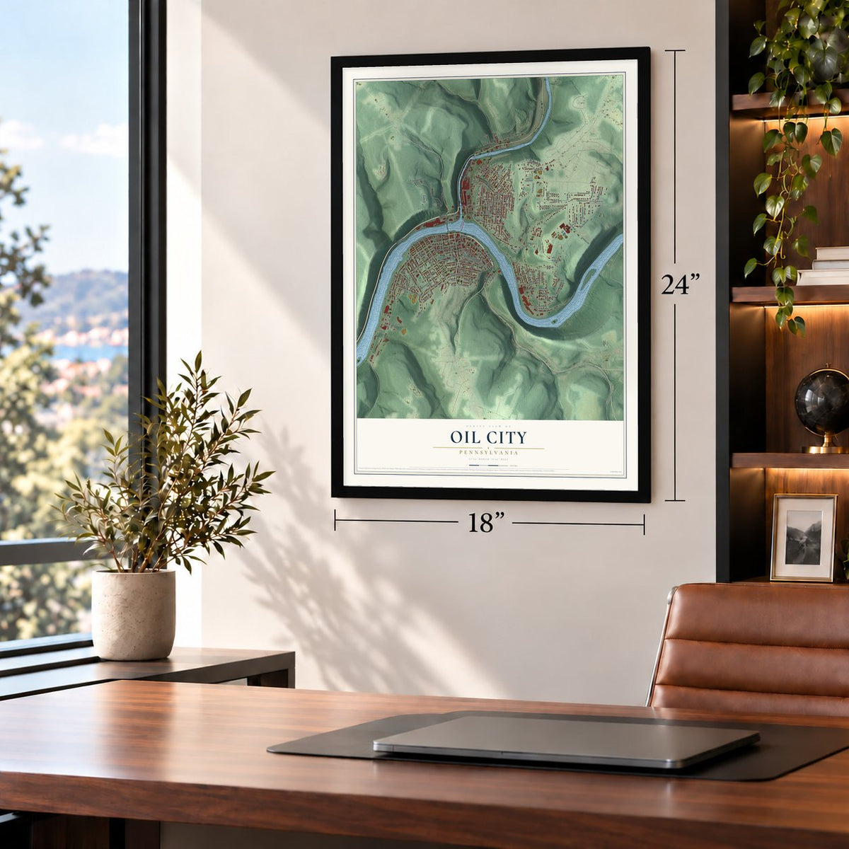
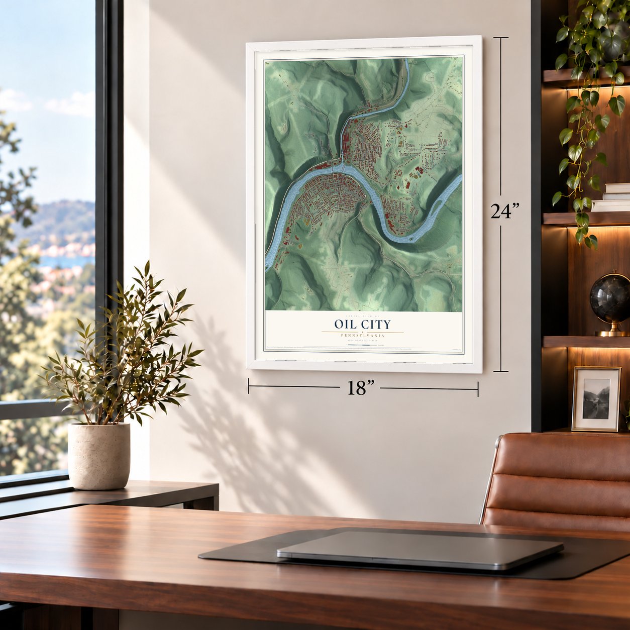
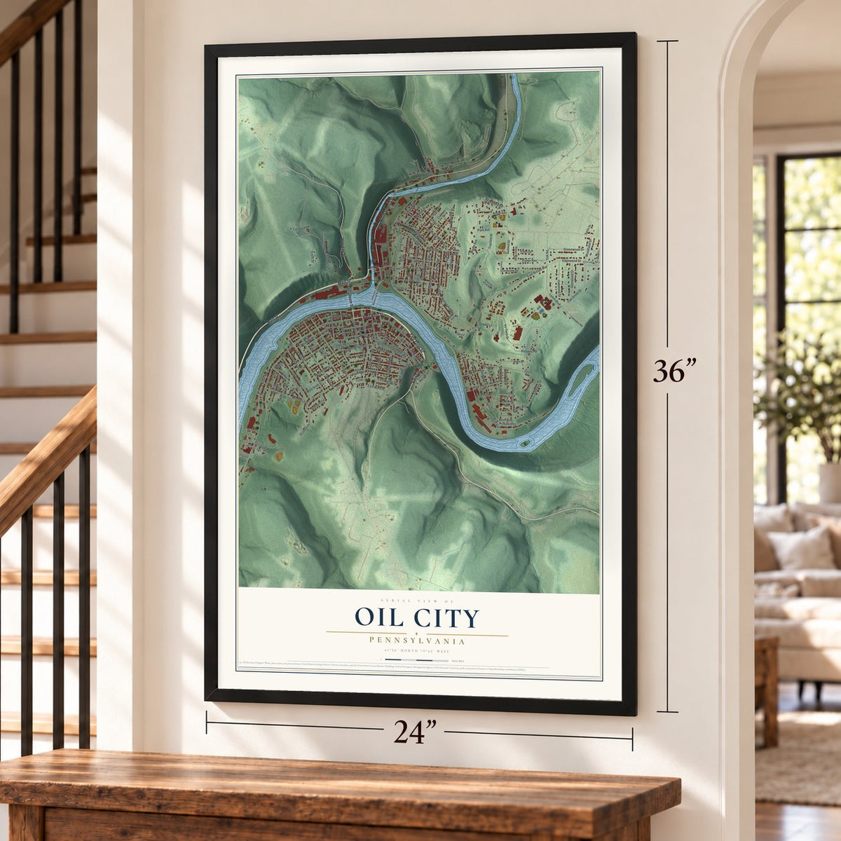
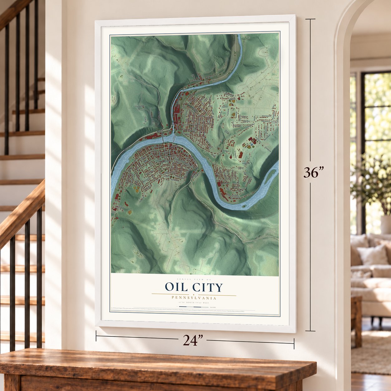
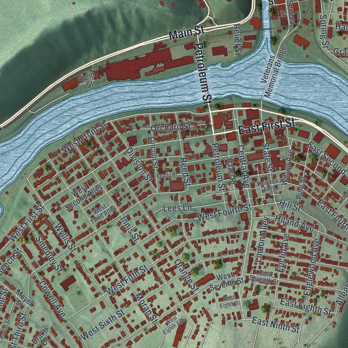
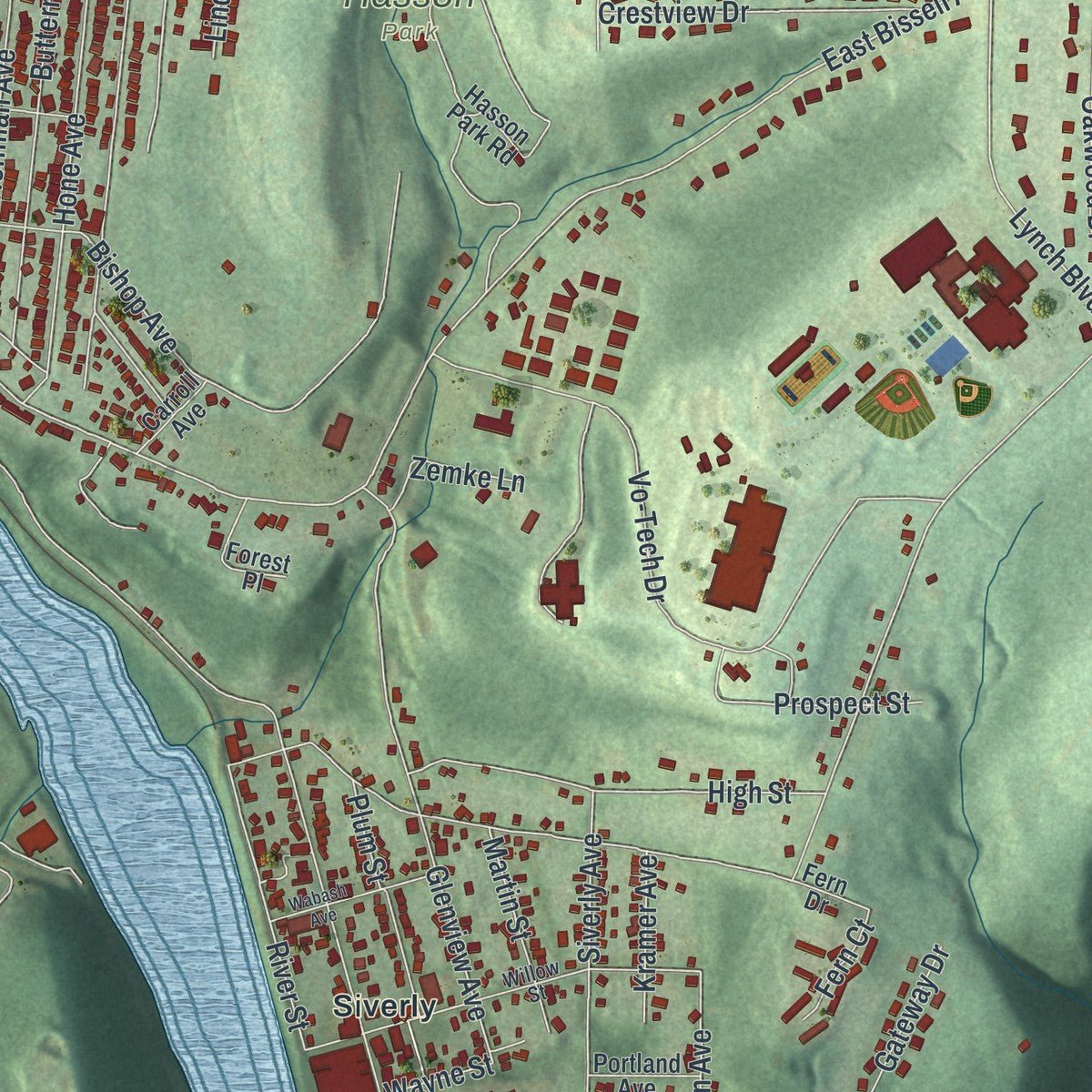
Explore Oil City, Pennsylvania from a whole new perspective. Created using aerial imagery and detailed geographic data, this map captures Oil City building by building, with labeled streets, familiar landmarks, and shaded topographical relief that highlights the natural contours of the landscape.
Combining modern data with the timeless character of a vintage atlas, this map is just as interesting up close as it is beautiful on the wall. Whether you grew up in Oil City, spent memorable years there, or call it home today, this unique map is a great way to celebrate a place that means something to you. Zoom in on the preview to look for your street, and then order a print to put your memories on the wall.

Three ways to hang it
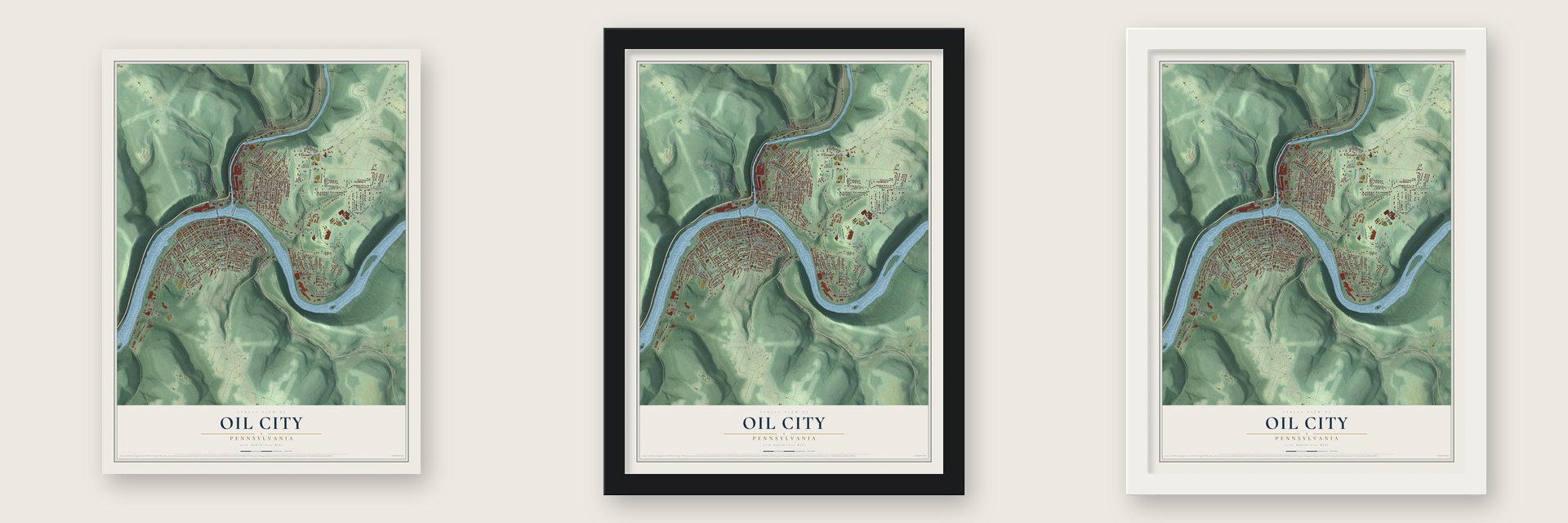
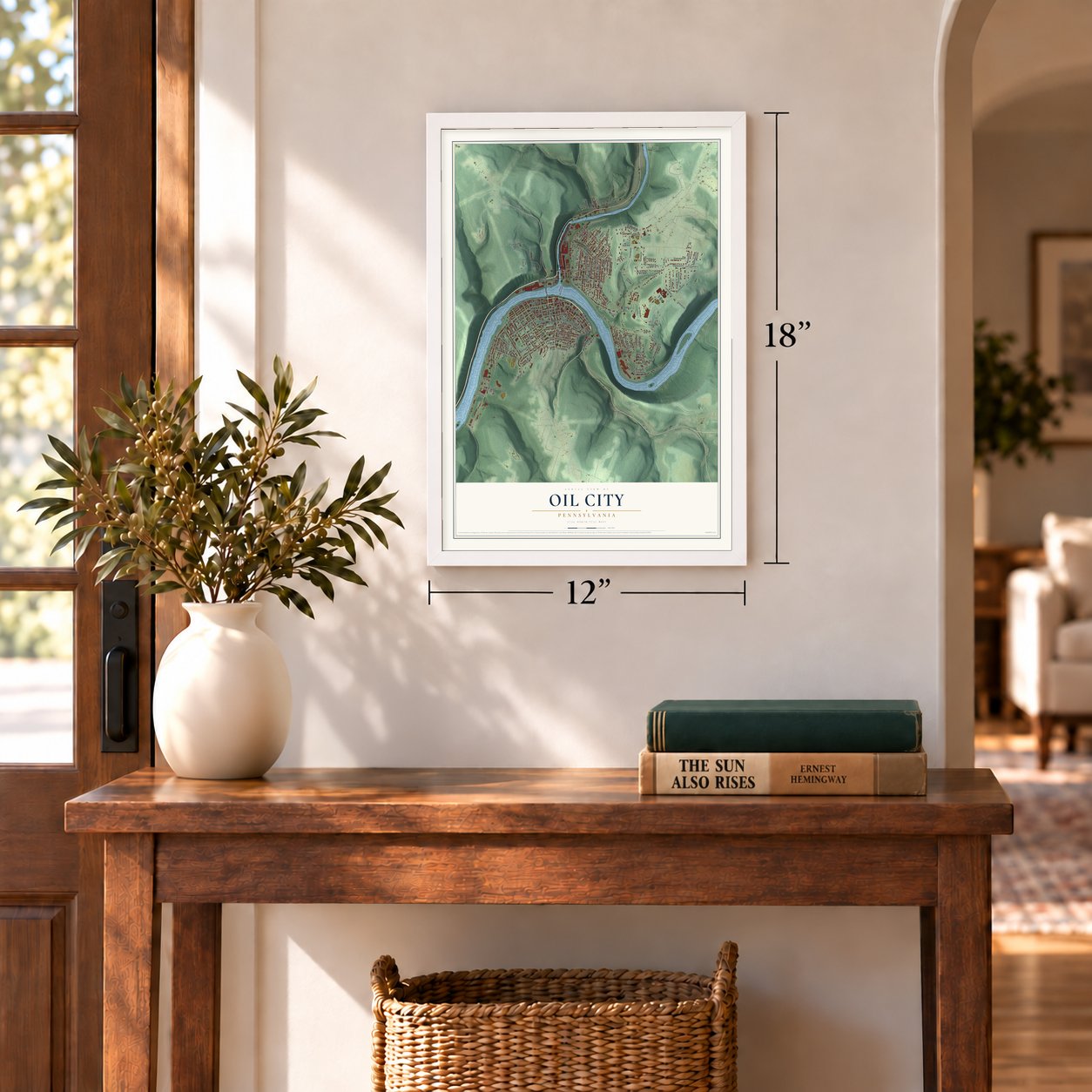
Unframed archival matte, a black wood frame or a white wood frame.
Up close
Geography Worth Displaying
This map was created using accurate cartographic data and authoritative geographic sources, including the U.S. Geological Survey and the Census Bureau. The map brings together terrain, waterways, roads, and building detail. The majority of the streets are labeled, houses are accurately depicted, and the topography is derived from government sources. Combining local data with carefully composed color and shading leads to this beautifully detailed Oil City artwork for your wall.
Rather than simply showing street outlines, we’ve included as many of the street names as we could reasonably fit on the map while keeping their names legible. Zoom in on the high resolution preview to see exactly what’s on the map. We truly set out to create a statement piece for anyone who loves Oil City. So whether it’s for you, or a gift for someone you love, we hope this map of Oil City brings back fond memories.
Read the story behind this map of Oil City, Pennsylvania from 2026.
Find your street
Names on the Oil City map
Every name below is printed on this map. Look for your street, your school, the park where you played, or the pond down the road.
Places and landmarks5
- City of Oil City
- Oliver Manor
- Hasson Park
- Calvary Cemetery
- Siverly
Streets and roads167
- East First Street
- East Second Street
- East Front Street
- Petroleum Street
- Halyday Street
- North Seneca Street
- Main Street
- Central Avenue
- East Ninth Street
- Innis Street
- State Street
- Plummer Street
- Englewood Avenue
- Spring Street
- West First Street
- East Fourth Street
- West Front Street
- Wyllis Street
- East Bissell Avenue
- Bissell Avenue
- Lynch Boulevard
- River Street
- Pierce Avenue
- Colbert Avenue
- Oak Grove Street
- West Third Street
- West Second Street
- Orange Street
- Vo-Tech Drive
- Dwyer Street
Show all 167 streets
- Moran Street
- Hoffman Avenue
- North Street
- West Fifth Street
- Glenview Avenue
- East Third Street
- West Sixth Street
- Park Road
- Hone Avenue
- Division Street
- Emerald Street
- West Fourth Street
- Butternut Alley
- Cedar Avenue
- Siverly Avenue
- Clark Alley
- Elm Street
- Spruce Street
- Mylan Street
- Washington Avenue
- Greenwood Drive
- Maple Avenue
- Grandview Road
- Summit Street
- Cowell Avenue
- Cornplanter Avenue
- Bouquin Circle
- East Eighth Street
- Woodland Drive
- Grove Avenue
- High Street
- Oakwood Drive
- Cooper Avenue
- Lees Lane
- Fisher Avenue
- Beech Street
- Hasson Avenue
- Bishop Avenue
- Mitchell Avenue
- Pearl Avenue
- Park Avenue
- Lindon Alley
- Harriott Avenue
- Manning Street
- Hiland Avenue
- Alcorn Avenue
- Orchard Street
- Evans Street
- Gay Street
- Euclid Avenue
- Edgewood Drive
- Crestview Drive
- Allegheny Avenue
- Plum Street
- Glenwood Drive
- Clarion Street
- Traction Street
- Regan Drive
- Charlton Street
- Prospect Street
- Ridge Avenue
- Warren Street
- Shady Oak Lane
- Phillips Drive
- Reed Street
- Filson Avenue
- Beechwood Drive
- Keith Avenue
- Gateway Drive
- Ellen Drive
- Martin Street
- Linden Avenue
- Hill Street
- Smedley Street
- Selden Avenue
- Union Street
- Kramer Avenue
- Cornwall Street
- Zemke Lane
- Duncomb Street
- Harold Street
- Wayne Street
- Graff Street
- Oak Road
- Fern Court
- Tiernan Street
- Penn Way
- Relief Street
- Center Street
- Seneca Street
- Veterans Memorial Bridge
- Wilson Avenue
- Hasson Park Road
- West Seventh Street
- Butler Alley
- Oak Street
- Crawford Street
- Hazel Place
- Lincoln Street
- Cemetery Road
- Pine Street
- Drake Drive
- Mayer Street
- Carson Avenue
- West Second Alley
- Clearfield Street
- Cherry Alley
- Forest Place
- Portland Avenue
- Mineral Street
- Osborne Street
- Klein Street
- Carroll Avenue
- Deer Street
- Lewis Street
- Scotts Drive
- Fern Drive
- Darr Street
- Willow Street
- East Seventh Street
- Elk Street
- Liberty Street
- West Third Alley
- Merritt Street
- Seeley Avenue
- Hemlock Alley
- Poplar Street
- Wabash Avenue
- Memorial Drive
- Duncan Street
- Pleasant Street
- Parker Street
- McCammon
- Beatty Place
- West Eighth Alley
- West Eighth Street
- Abbott Street
Names are listed as they appear on the printed map. Zoom into the product photos to find them.
About Oil City, Pennsylvania
Oil City is a city of 9,613 people in Venango County, at a bend in the Allegheny River where Oil Creek flows in. In 1796 the state rewarded Cornplanter, who led the Seneca's Wolf Band, for his service in the Revolutionary War with a small piece of land straddling the mouth of the creek. In 1824 William Kinnear and two partners built an iron bloomery, a foundry and a gristmill nearby, and the settlement took the name Oil Creek Furnace. The local iron ore was poor, so the furnace closed in 1849 and nearly everyone left.
Edwin L. Drake's well at Titusville in 1859 and a strike on the Downing farm in April 1861 changed everything. Fewer than six families lived here in 1859, but by 1866 Oil City held more than 4,500 people and Venango City, across the river, more than 1,500. The legislature joined the two boroughs under the name Oil City on March 3, 1871, and William M. Williams was sworn in as the first mayor on April 11.
- Inns for the river menThe bend in the Allegheny slowed the water, so barges and rafts could land here easily. About 1852 or 1853 Thomas Moran built the Moran House, a large inn that kept growing and became a local landmark. Two more inns and a general store soon followed. Near the mouth of Oil Creek, Hiram Gordon ran the Red Lion, the first saloon anywhere around, and he kept his guests amused with live entertainment.
- A railway up Clark's SummitIn 1872 a funicular 1,600 feet long was built to carry people up the 460-foot hill at Clark's Summit, where new house lots were for sale. The Panic of 1873 wrecked those home sales the next year. The funicular company went bankrupt, and its track was torn out in 1879.
- Burning oil in 1892Floods hit the city in 1865, and flood and fire struck together in 1866 and again in 1892. In 1892 lightning hit several oil tanks, they gave way, and Oil Creek swept the burning oil into the city. Some 60 people died, and the losses topped $1 million.
- Tools for the world's oil fieldsThe Oil Well Supply Company was founded near Oil City in 1878 to make machinery and supplies for drilling. Its buyers worked oil fields all over the world, and in the early 1900s it employed as many as 2,000 people. U.S. Steel took over the firm in 1930, and a historical marker on East Front Street now tells its story.
- Home of three motor oilsAs the oil trade grew, three motor oil makers, Pennzoil, Quaker State and Wolf's Head, all ran their companies from offices in Oil City. All three had moved their headquarters away by the 1990s, but some local wells still pump good petroleum, and visitors now come for the oil heritage sites, nature trails and Victorian buildings.
Keep exploring Pennsylvania
Oil City is one of 3,725 Pennsylvania towns we've mapped. Every dot on the map is a print of its own.
The search covers every state, Pennsylvania first.
Near Oil City
Order 2 or more town maps and save 10%. Shown in the size and finish you picked above, so they hang as a set.
- Woodland Heights 12" x 18" / Archival Matte Print $39.99
- Hasson Heights 12" x 18" / Archival Matte Print $39.99
- Rouseville 12" x 18" / Archival Matte Print $39.99
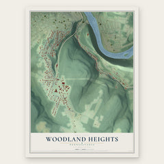
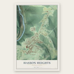
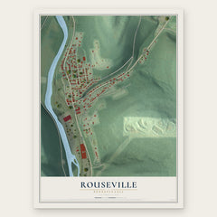
More maps nearby: Seneca, Cranberry, Oakland, Cornplanter and Sugarcreek.
The art of mapping a place
How This Map Was Made
Real places. Remarkable detail. Discover the layers that turn geographic data into a map of home.

The view from above
Aerial imagery reveals the character of the land: woodland, open fields, and the patterns of a place.

The shape of the land
Elevation data brings hills, valleys, and subtle changes in the landscape into view.

The details of home
Roads, waterways, and building footprints come together to make the map feel unmistakably local.

Geography becomes art
Considered color, shading, and typography bring the layers together in a map made for your wall.


Process illustrated with Mendon, Massachusetts. Aerial imagery: USDA NAIP. Terrain: USGS 3D Elevation Program. Map details and finished artwork: KNOWOL.
The Details
About This Print
Choose an archival matte print, or a black or white Ayous wood frame. The archival matte print is unframed.
Select your size and finish above to see the matching product image and price.
Materials & Craftsmanship
A contemporary map with the character of a classic atlas, printed on archival matte paper. Optional frames are made from Ayous wood.
Your printed map does not include the watermark shown in the full-map preview.
Shipping & Delivery
Free shipping within the United States. Every print is made to order in the USA.
Buying a gift? Add a note in your cart and we'll include it. We never put prices in the package.
Prints ship within 2 to 3 business days. Allow 7 to 10 days total from ordering for delivery. Timing may vary during holidays or periods of high order volume.
Read our shipping policy.
Returns and damaged prints
Each print is made to order. Change-of-mind refunds are not available after production.
If your print arrives damaged, misprinted or incorrect, contact support@knowol.com within 30 days of receiving it. Include your order number, photos and a description of the issue.
Read our full refund and replacement policy. For questions about your order, email support@knowol.com.