
Search for another town

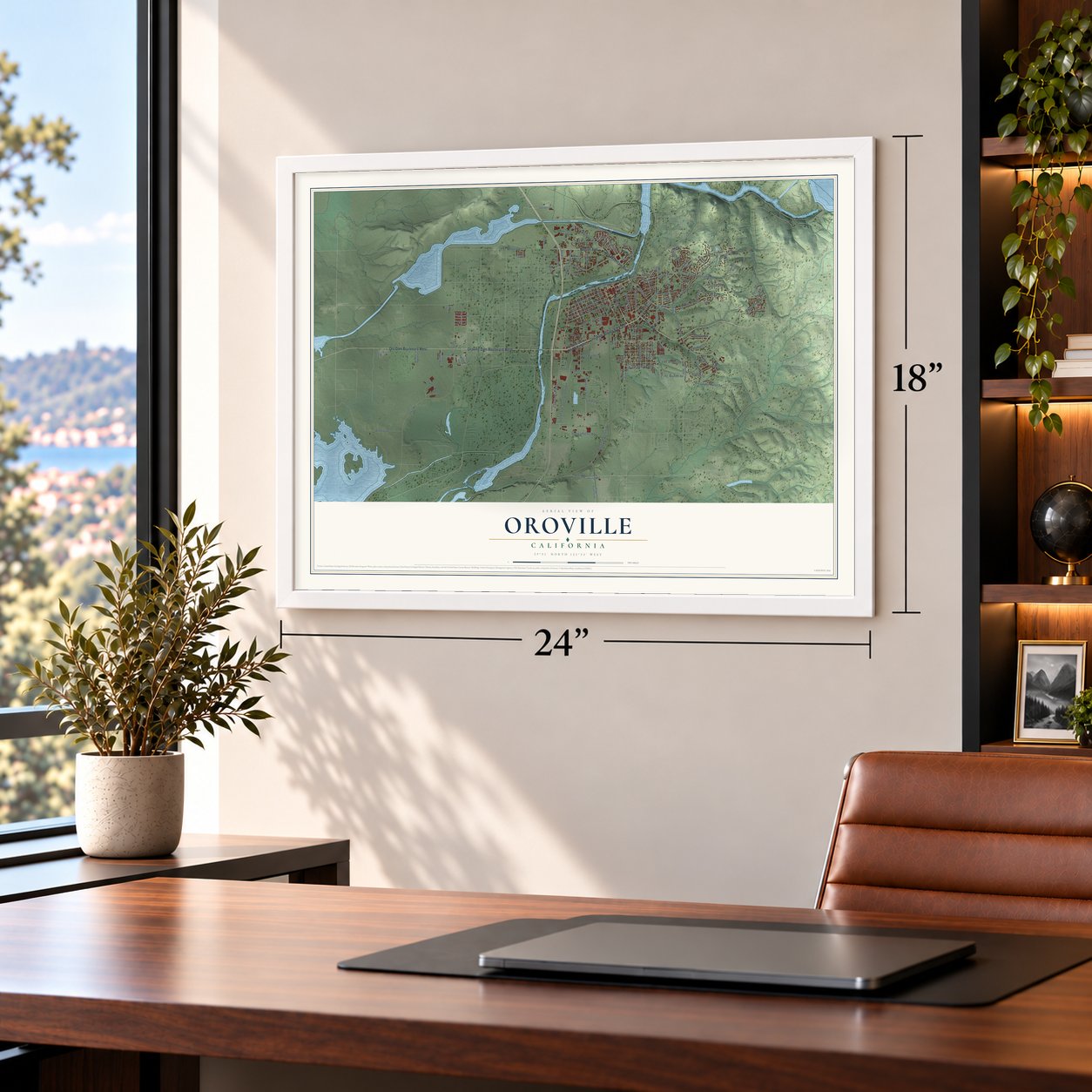

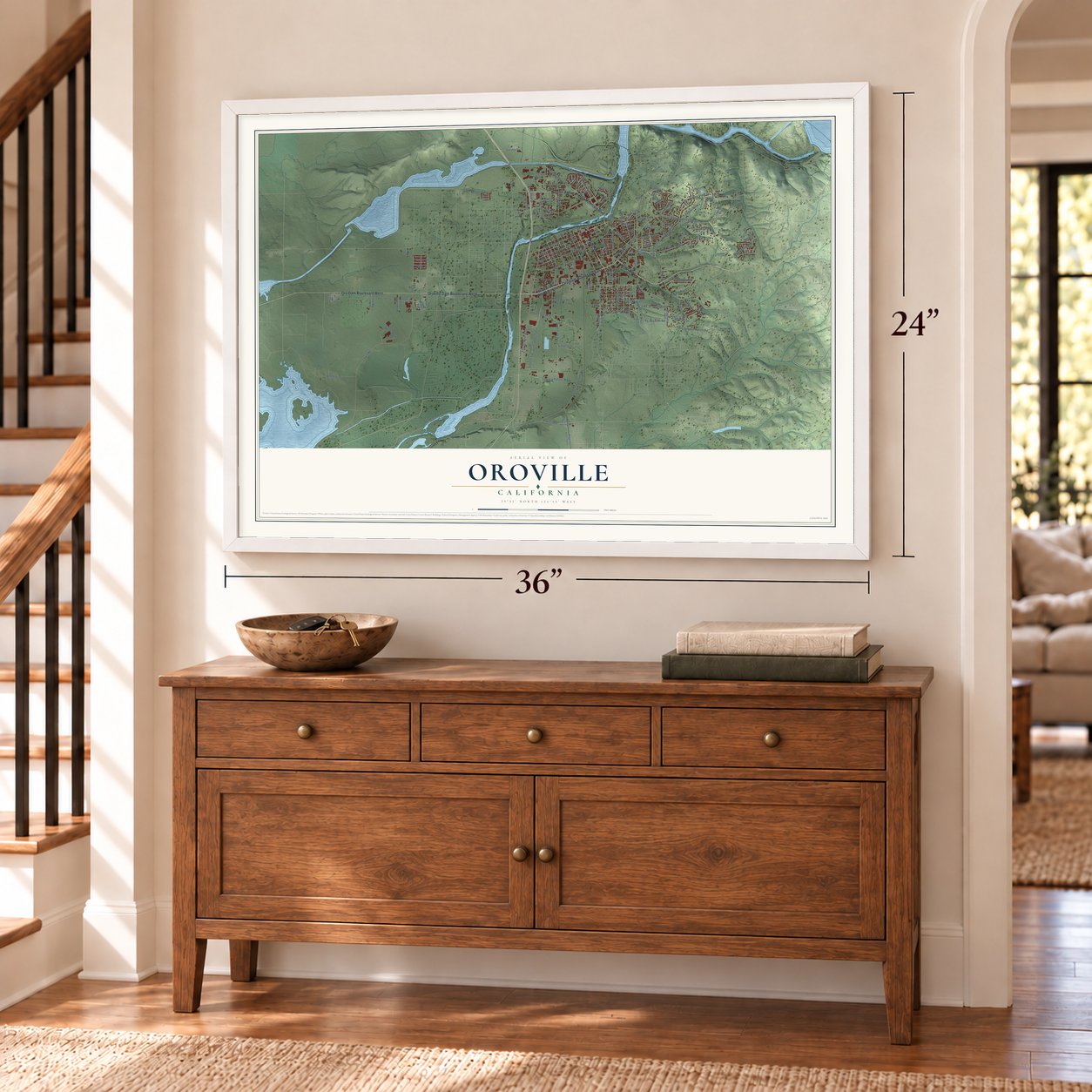
Free U.S. delivery 7 to 10 days after you order
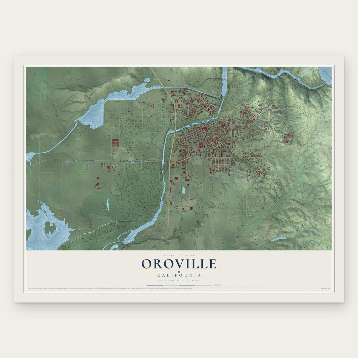
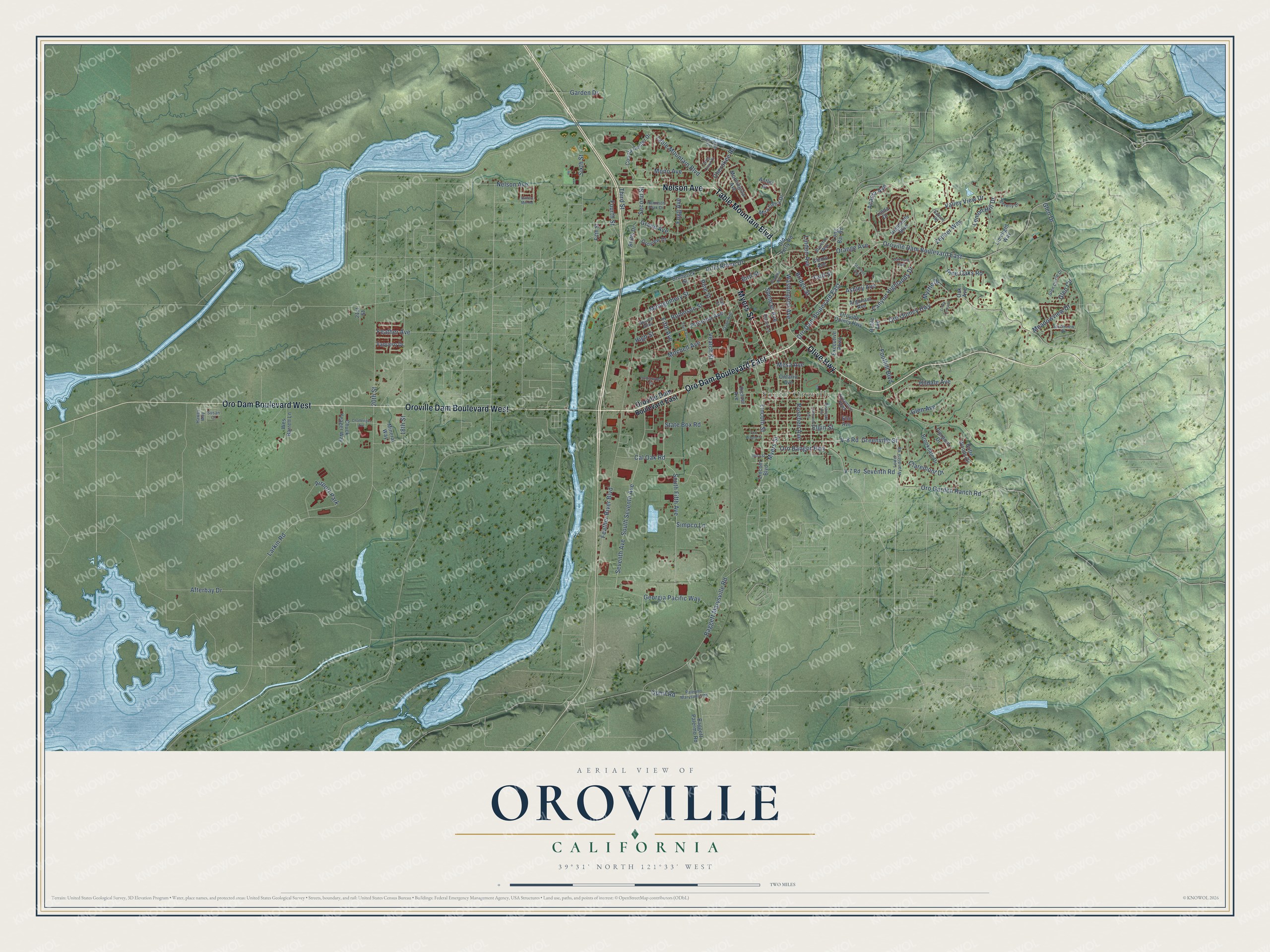
Oroville, California Map Art
Building by building, with labeled streets and shaded relief.
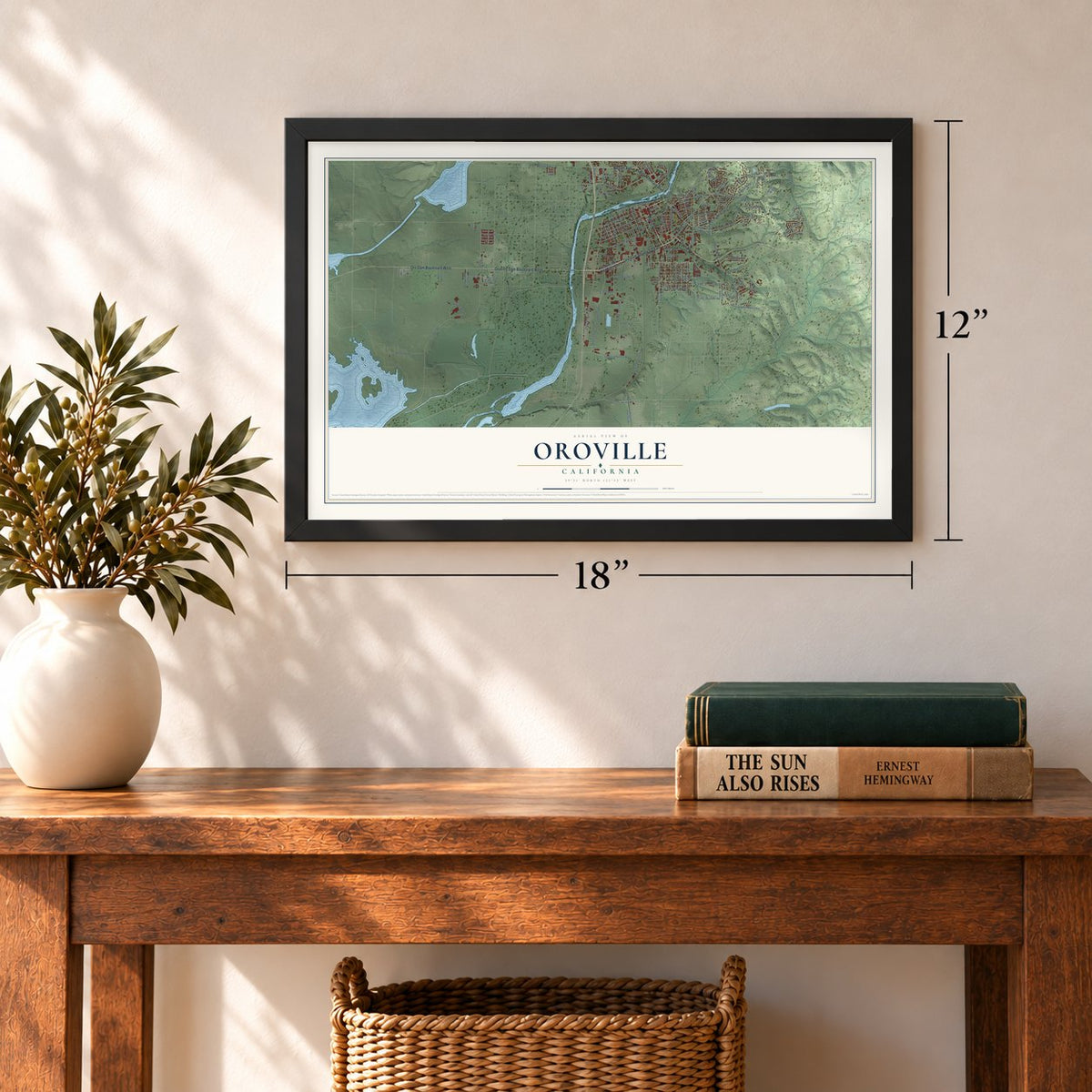
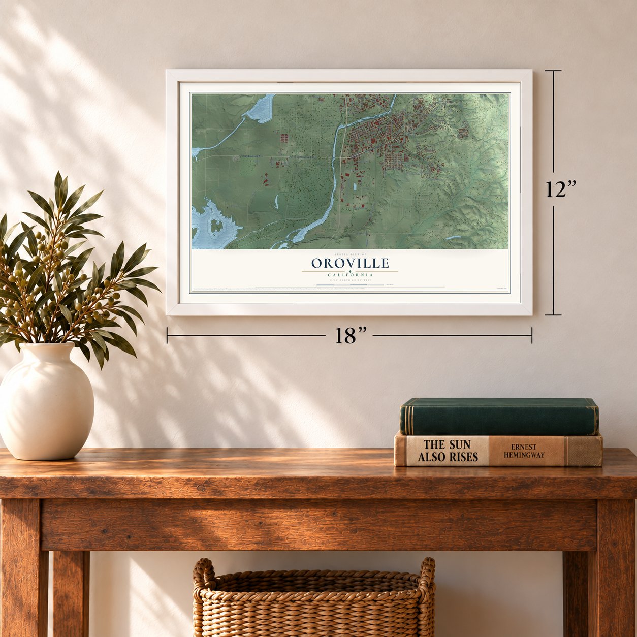
12" x 18" Archival Matte Print
A Map of Home. A Work of Art.
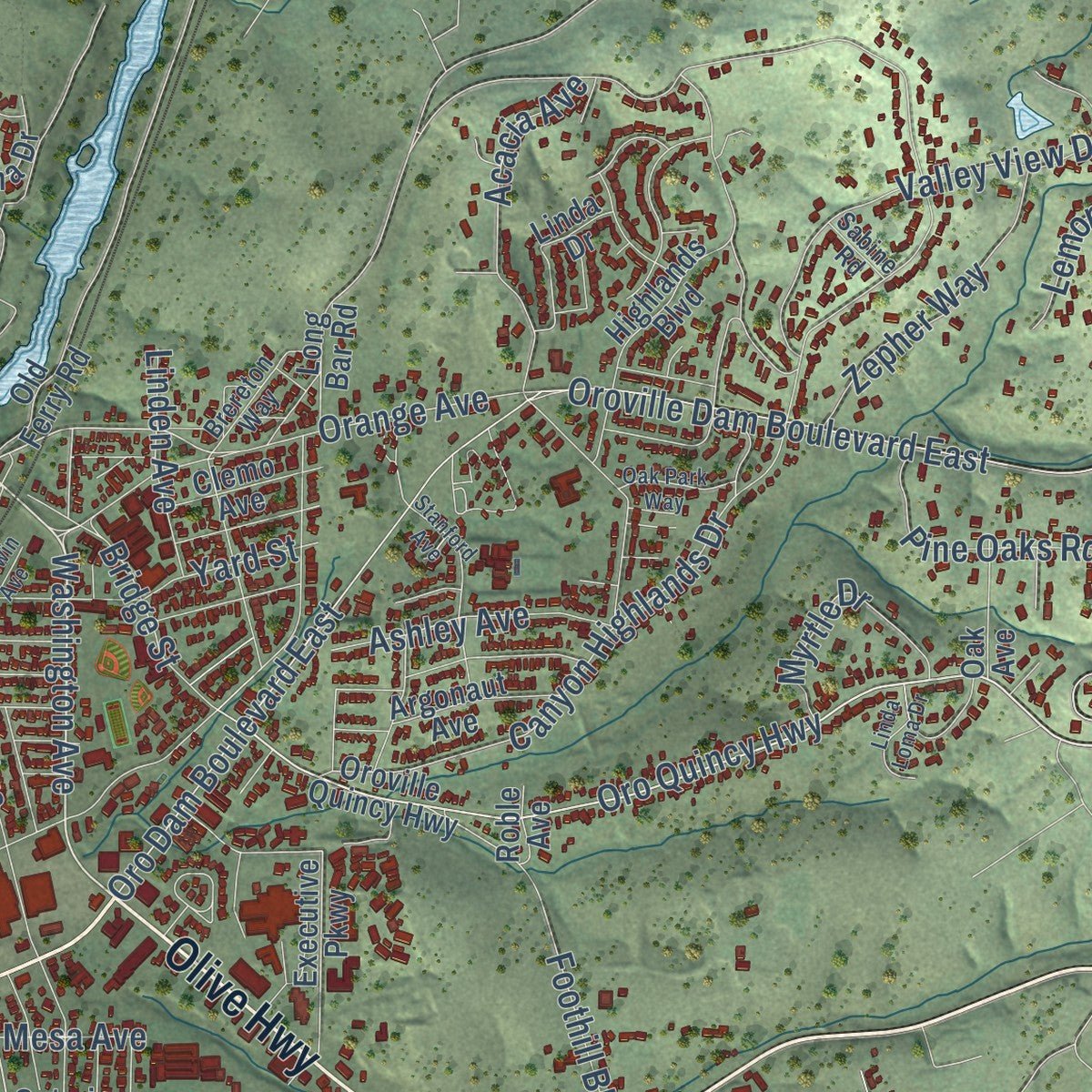
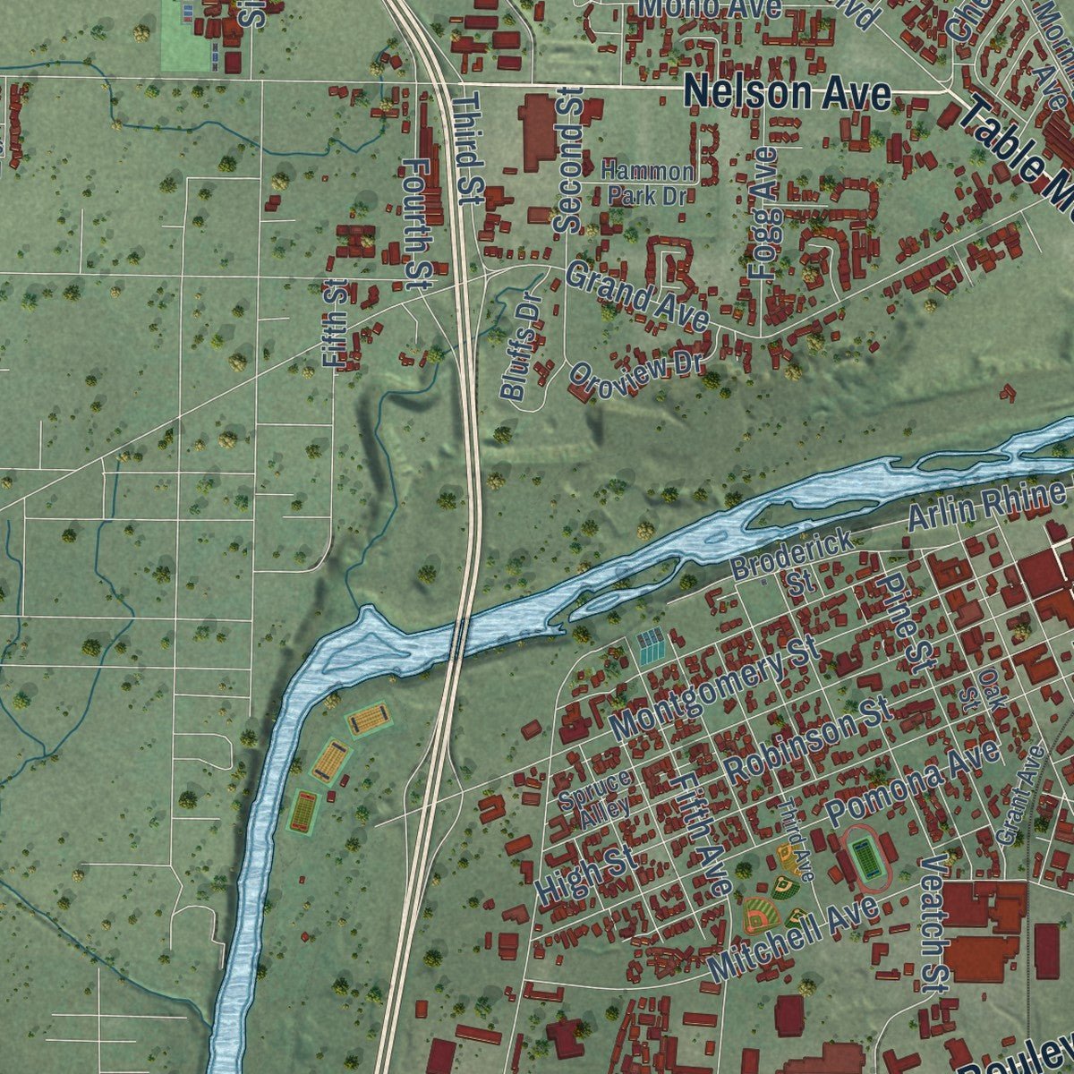
Explore Oroville, California from a whole new perspective. Created using aerial imagery and detailed geographic data, this map captures Oroville building by building, with labeled streets, familiar landmarks, and shaded topographical relief that highlights the natural contours of the landscape.
Combining modern data with the timeless character of a vintage atlas, this map is just as interesting up close as it is beautiful on the wall. Whether you grew up in Oroville, spent memorable years there, or call it home today, this unique map is a great way to celebrate a place that means something to you. Zoom in on the preview to look for your street, and then order a print to put your memories on the wall.
Three ways to hang it
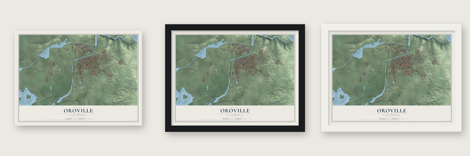
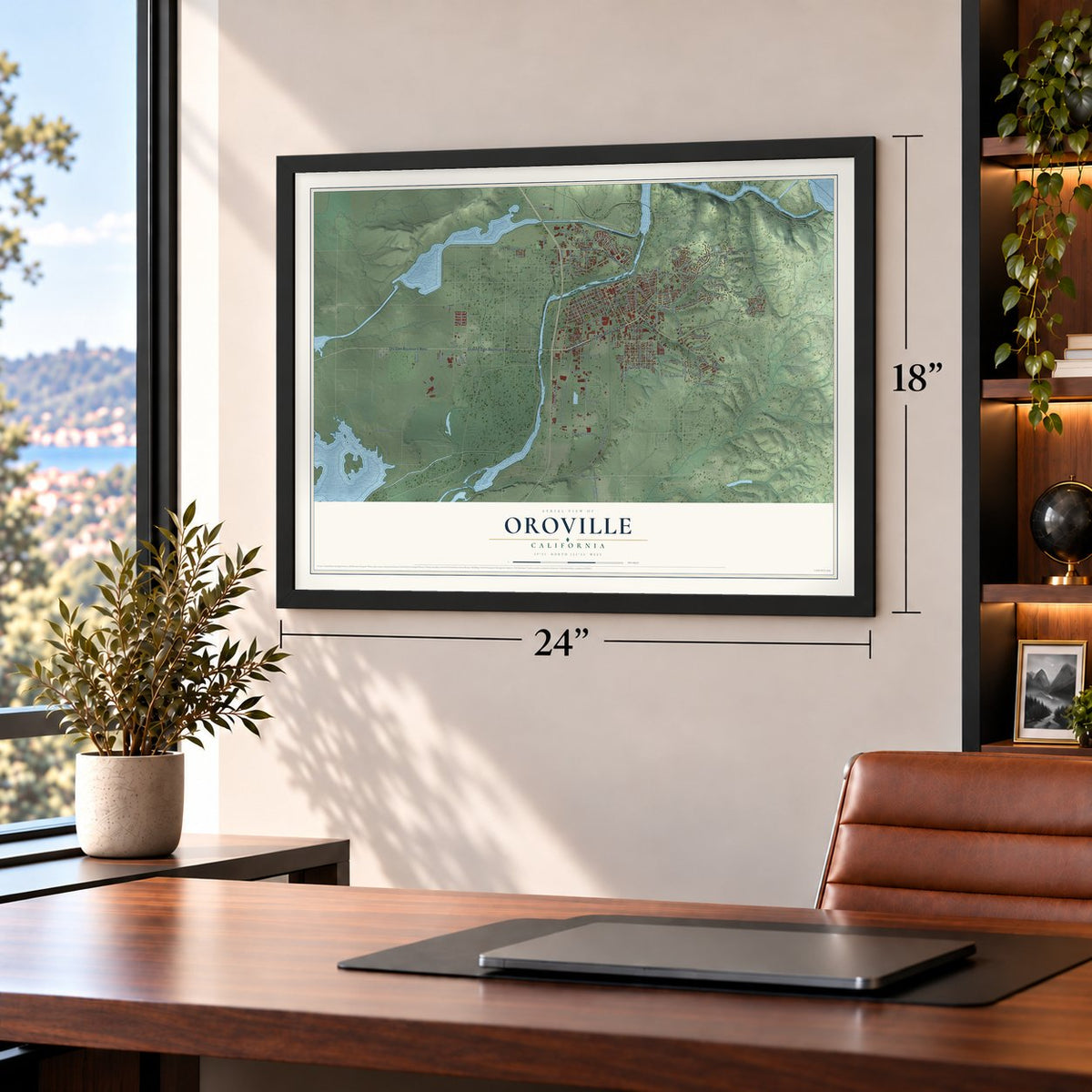
Unframed archival matte, a black wood frame or a white wood frame.
Up close
Geography Worth Displaying
This map was created using accurate cartographic data and authoritative geographic sources, including the U.S. Geological Survey and the Census Bureau. The map brings together terrain, waterways, roads, and building detail. The majority of the streets are labeled, houses are accurately depicted, and the topography is derived from government sources. Combining local data with carefully composed color and shading leads to this beautifully detailed Oroville artwork for your wall.
Rather than simply showing street outlines, we’ve included as many of the street names as we could reasonably fit on the map while keeping their names legible. Zoom in on the high resolution preview to see exactly what’s on the map. We truly set out to create a statement piece for anyone who loves Oroville. So whether it’s for you, or a gift for someone you love, we hope this map of Oroville brings back fond memories.
Read the story behind this map of Oroville, California from 2026.

Find your street
Names on the Oroville map
Every name below is printed on this map. Look for your street, your school, the park where you played, or the pond down the road.
Places and landmarks2
- South Oroville
- Airport Park
Streets and roads135
- Oro Dam Boulevard East
- Olive Highway
- Table Mountain Boulevard
- Myers Street
- Nelson Avenue
- Oro Dam Boulevard West
- Oroville Dam Boulevard West
- Washington Avenue
- Lincoln Street
- Oro Quincy Highway
- Montgomery Street
- Oroville Dam Boulevard East
- Fifth Avenue
- Feather River Boulevard
- Canyon Highlands Drive
- Seventh Avenue
- Foothill Boulevard
- Larkin Road
- Mitchell Avenue
- South Fifth Avenue
- South Seventh Avenue
- Baggett Marysville Road
- Spencer Avenue
- Valley View Drive
- Bird Street
- Grand Avenue
- Glen Drive
- Greenville Street
- High Street
- Robinson Street
Show all 135 streets
- Georgia Pacific Way
- Acacia Avenue
- Orange Avenue
- Arlin Rhine Drive
- Feather Avenue
- Pomona Avenue
- Oro Bangor Highway
- Oro Garden Ranch Road
- Elgin Street
- Veatch Street
- 18th Street
- Lemon Hill Drive
- Claremont Drive
- Ophir Road
- 20th Street
- Cal Oak Road
- Pine Street
- Pine Oaks Road
- Zepher Way
- Glen Avenue
- Glen Circle
- Hildale Avenue
- Yard Street
- Meadowview Drive
- Roseben Avenue
- Bridge Street
- V-8 Road
- Afterbay Drive
- Ashley Avenue
- Myrtle Drive
- Seventh Road
- Second Street
- Mono Avenue
- Fogg Avenue
- Cherokee Road
- Simpco Lane
- Linden Avenue
- Sixth Street
- Fourth Street
- State Box Road
- Third Street
- Garden Drive
- Mesa Avenue
- Oroville Quincy Highway
- Baggett Palermo Road
- Highlands Boulevard
- Lincoln Boulevard
- Brookdale Drive
- County Center Drive
- Mira Loma Drive
- V-7 Road
- Bluffs Drive
- Argonaut Avenue
- Oroview Drive
- Broderick Street
- Chuck Yeager Way
- Executive Parkway
- Wes Barrett Lane
- Morningstar Avenue
- Butte Woods Drive
- Linda Drive
- Limelight Way
- Long Bar Road
- Mineral Way
- Clemo Avenue
- Vaquero Drive
- Old Ferry Road
- Pierpont Drive
- Oak Avenue
- Richter Avenue
- Ontario Avenue
- Fifth Street
- 21st Street
- Roble Avenue
- Antler Drive
- Elm Avenue
- Lower Wyandotte Road
- Palermo Marysville Road
- Glen Circle Drive
- Oak Street
- Southview Drive
- Spruce Alley
- Hammon Park Drive
- Brereton Way
- Beverly Drive
- Grant Avenue
- Sycamore Parkway
- Placer Lane
- Sabine Road
- Hawes Way
- Susan Court
- Fort Wayne Street
- Fallbrook Avenue
- Cottonwood Circle
- Burlington Avenue
- Flying Cloud Drive
- Third Avenue
- Baldwin Avenue
- Stanford Avenue
- Water Service Dirt Road
- Challenger Avenue
- Linda Loma Drive
- Oak Park Way
- Idora Street
- Sutters Mill Road
Names are listed as they appear on the printed map. Zoom into the product photos to find them.
About Oroville, California
Oroville is a city of 20,042 people and the county seat of Butte County, set where the Feather River leaves the Sierra Nevada for the flat floor of the Central Valley. The Konkow, a branch of the Maidu people, lived here first, and in their language the area is called ʔópamtani. During the Gold Rush the town grew up at the river's head of navigation, the farthest point boats could reach, so it became a supply stop for miners.
Gold turned up at Bidwell Bar, one of the earliest mining sites in California, and thousands of prospectors poured into the area. The settlement started out as Ophir City, but when its first post office opened in 1854 it took the name Oroville, from oro, the Spanish word for gold. The city was incorporated on January 3, 1906.
“The Bidwell Bar Bridge, first suspension bridge of California, was transported from New York via Cape Horn 1853 and was completed 1856.”
- A Chinese temple from 1863Chinese laborers built the Oroville Chinese Temple in 1863 to serve the largest Chinese community north of Sacramento. Followers of Taoism, Buddhism, Confucianism and Chinese folk religion all worshiped there. Today the temple keeps a large collection of antiques and a garden, and it joined the National Register in 1976.
- Mother of the ripe oliveFreda Ehmann started the olive canning business in Oroville and built a large cannery here. By 1900 she was president of the biggest canned olive factory in the world, and people came to call her the mother of California's ripe olive business. She also supported votes for women and counted Susan B. Anthony as a friend.
- Ishi walks out in 1911In 1911 a man named Ishi came down out of the hills in East Oroville. He was the last of the Yahi people, and his arrival made him famous across the country overnight. He remains the town's best known resident, and the Visitor Center at Lake Oroville tells his story with an exhibit and a documentary film.
- The tallest dam in the nationOroville Dam stands 770 feet tall and runs 6,920 feet long, making it the tallest dam in the United States. Its reservoir, Lake Oroville, filled in 1968 and covered the old mining camp at Bidwell Bar. The lake is the second largest reservoir in California, with 167 miles of shoreline for boating, fishing and camping.
Keep exploring California
Oroville is one of 1,976 California towns we've mapped. Every dot on the map is a print of its own.
The search covers every state, California first.
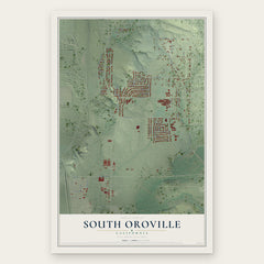
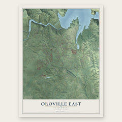
Near Oroville
Order 2 or more town maps and save 10%. Shown in the size and finish you picked above, so they hang as a set.
- South Oroville 12" x 18" / Archival Matte Print $39.99
- Thermalito 12" x 18" / Archival Matte Print $39.99
- Oroville East 12" x 18" / Archival Matte Print $39.99

More maps nearby: Palermo, Kelly Ridge, Biggs, Richvale and Cherokee.
The art of mapping a place
How This Map Was Made
Real places. Remarkable detail. Discover the layers that turn geographic data into a map of home.

The view from above
Aerial imagery reveals the character of the land: woodland, open fields, and the patterns of a place.

The shape of the land
Elevation data brings hills, valleys, and subtle changes in the landscape into view.

The details of home
Roads, waterways, and building footprints come together to make the map feel unmistakably local.

Geography becomes art
Considered color, shading, and typography bring the layers together in a map made for your wall.


Process illustrated with Mendon, Massachusetts. Aerial imagery: USDA NAIP. Terrain: USGS 3D Elevation Program. Map details and finished artwork: KNOWOL.
The Details
About This Print
Choose an archival matte print, or a black or white Ayous wood frame. The archival matte print is unframed.
Select your size and finish above to see the matching product image and price.
Materials & Craftsmanship
A contemporary map with the character of a classic atlas, printed on archival matte paper. Optional frames are made from Ayous wood.
Your printed map does not include the watermark shown in the full-map preview.
Shipping & Delivery
Free shipping within the United States. Every print is made to order in the USA.
Buying a gift? Add a note in your cart and we'll include it. We never put prices in the package.
Prints ship within 2 to 3 business days. Allow 7 to 10 days total from ordering for delivery. Timing may vary during holidays or periods of high order volume.
Read our shipping policy.
Returns and damaged prints
Each print is made to order. Change-of-mind refunds are not available after production.
If your print arrives damaged, misprinted or incorrect, contact support@knowol.com within 30 days of receiving it. Include your order number, photos and a description of the issue.
Read our full refund and replacement policy. For questions about your order, email support@knowol.com.