
Search for another town





Free U.S. delivery 7 to 10 days after you order
Panama City, Florida Map Art
A new map of Panama City, Florida, made in 2026 and printed to order on thick archival matte paper.
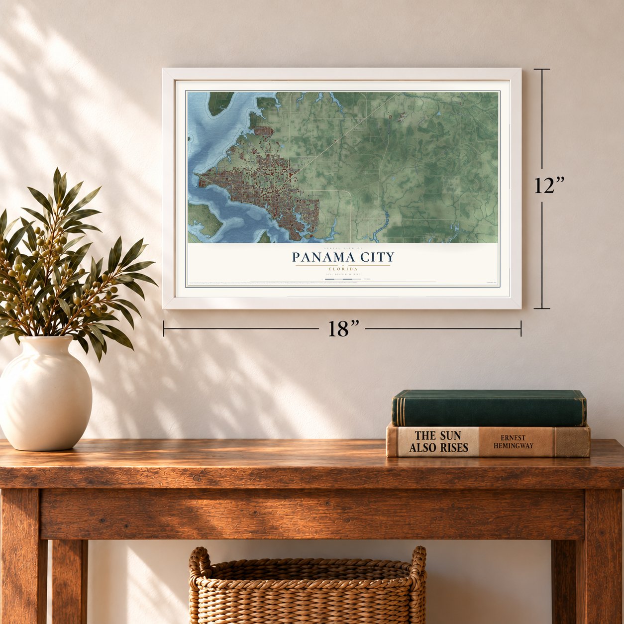
12" x 18" Archival Matte Print
A Map of Home. A Work of Art.
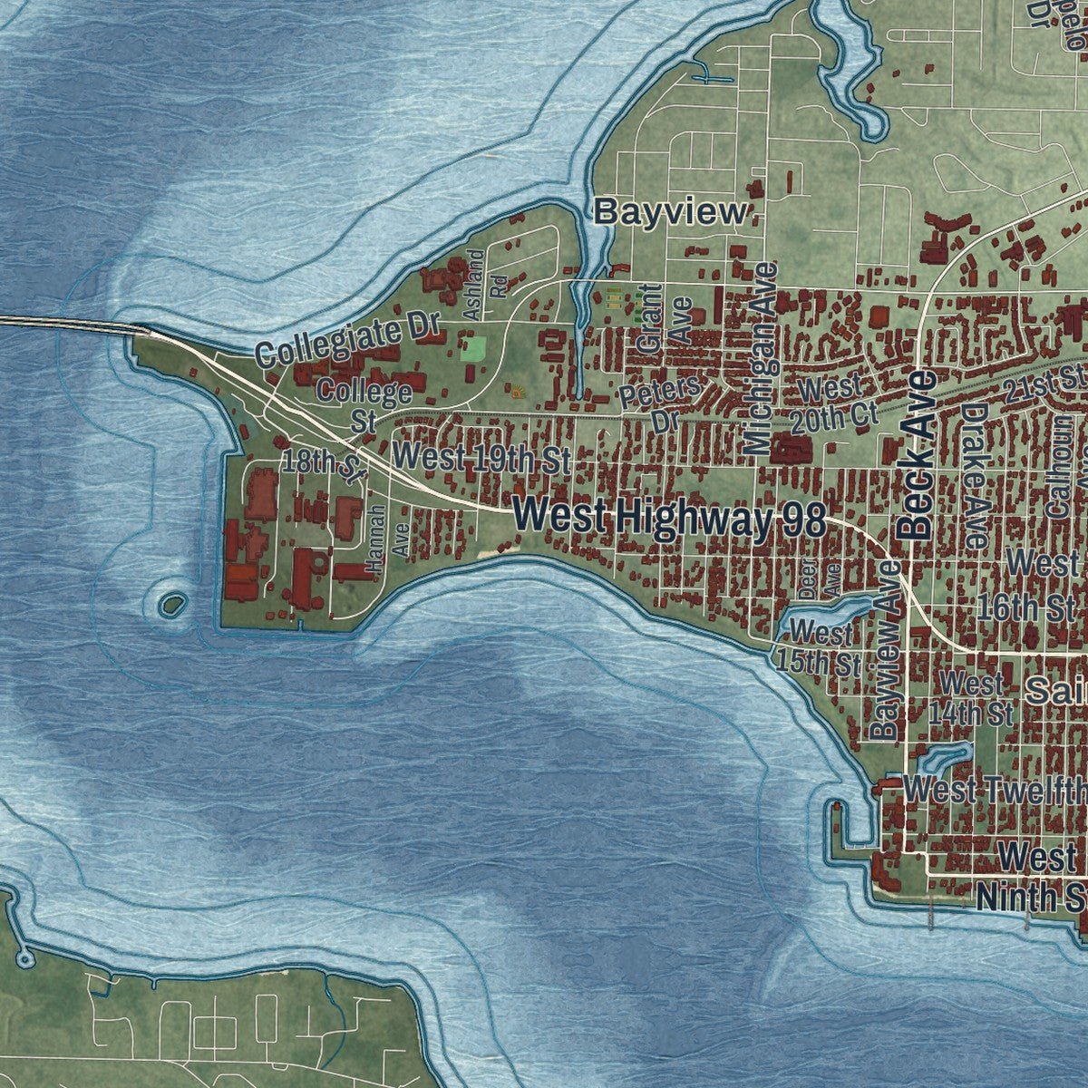
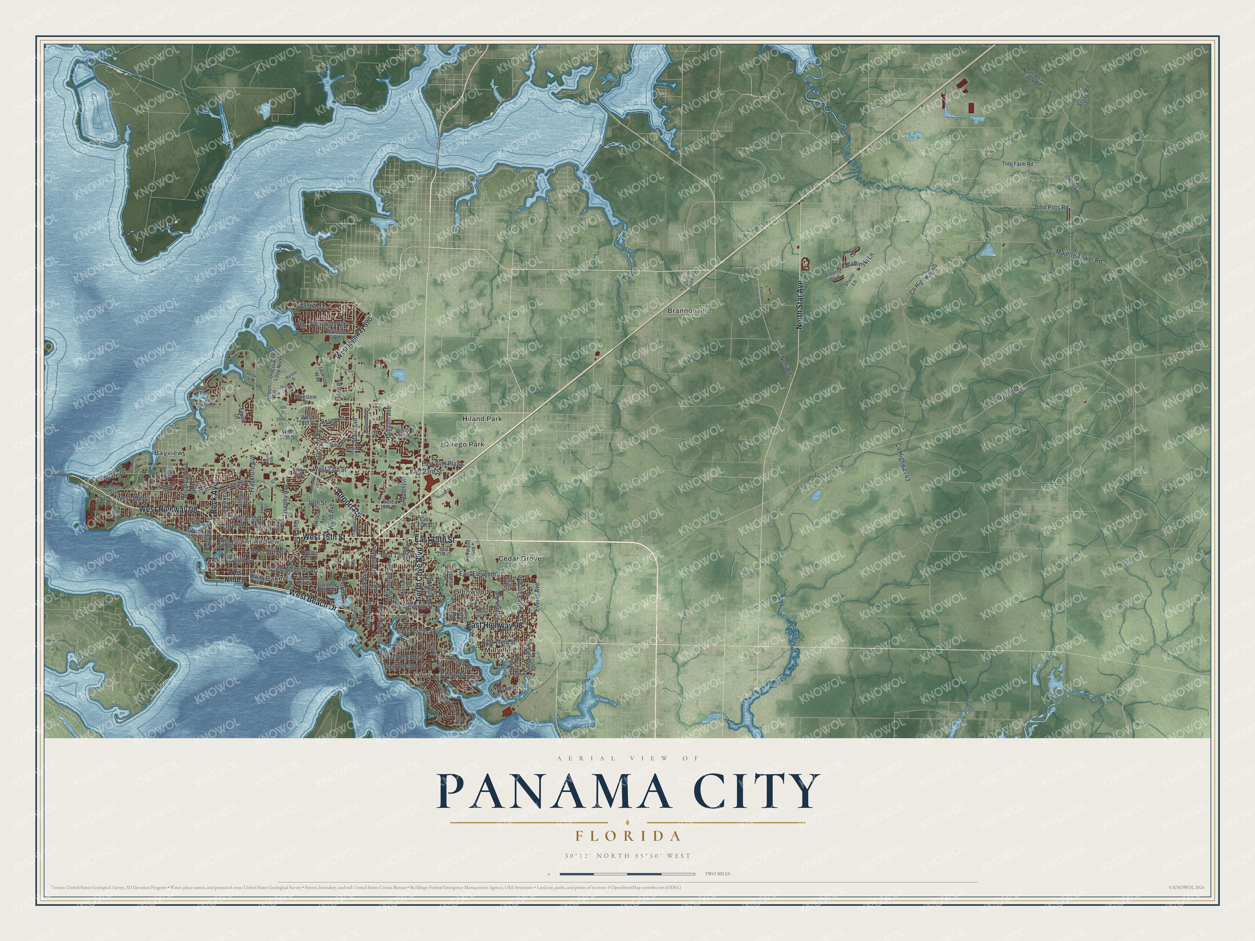
Explore Panama City, Florida from a whole new perspective. Created using aerial imagery and detailed geographic data, this map captures Panama City building by building, with labeled streets, familiar landmarks, and shaded topographical relief that highlights the natural contours of the landscape.
Combining modern data with the timeless character of a vintage atlas, this map is just as interesting up close as it is beautiful on the wall. Whether you grew up in Panama City, spent memorable years there, or call it home today, this unique map is a great way to celebrate a place that means something to you. Zoom in on the preview to look for your street, and then order a print to put your memories on the wall.
Three ways to hang it
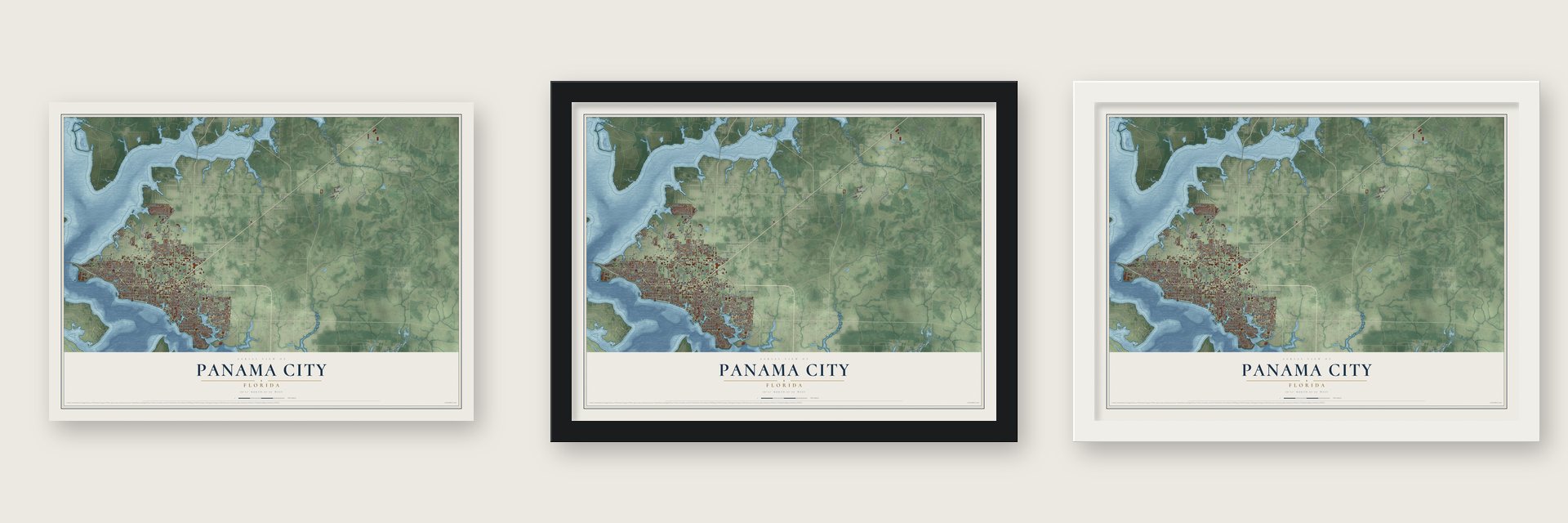
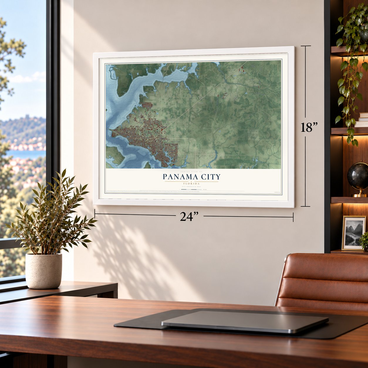
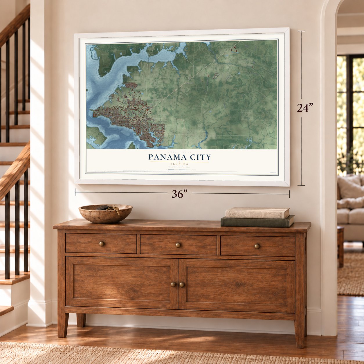
Unframed archival matte, a black wood frame or a white wood frame.
Up close
Geography Worth Displaying
This map was created using accurate cartographic data and authoritative geographic sources, including the U.S. Geological Survey (USGS) and FEMA. The map brings together terrain, waterways, roads, and building detail. The majority of the streets are labeled, houses are accurately depicted, and the topography is derived from government sources. Combining local data with carefully composed color and shading leads to this beautifully detailed Panama City artwork for your wall.
Rather than simply showing street outlines, we’ve included as many of the street names as we could reasonably fit on the map while keeping their names legible. Zoom in on the high resolution preview to see exactly what’s on the map. We truly set out to create a statement piece for anyone who loves Panama City. So whether it’s for you, or a gift for someone you love, we hope this map of Panama City brings back fond memories.
Explore the full map of Panama City, Florida and read about the local places it shows.

About Panama City, Florida
Panama City, the seat of Bay County, is a city of 32,939 people on the shore of St. Andrews Bay. It was pieced together from five older bay settlements, Floriopolis, Harrison, Millville, Park Resort and St. Andrews, and the combined development took the name Panama City in 1906.
George Mortimer West pushed to rename the town, then called Harrison, while the whole country was following the work on the Panama Canal. He pointed out that a line drawn straight from Chicago to the capital of Panama ran through the town, and that it was the nearest developed U.S. mainland port to the canal's Caribbean entrance. The railroad reached the bay in 1908, and the new city incorporated in 1909 where the tracks ended.
- A turpentine man from GeorgiaRobert Lee McKenzie was raised on a farm in Georgia. In 1902 he came to the Panhandle and took a share in a naval stores company that employed 75 people, and he became the first person in the area to collect pine resin using the turpentine cup.
- Robert McKenzie, first mayorIn 1904 McKenzie bought bay land and teamed up with other businessmen to build Panama City, hoping it would handle goods shipped through the canal. Voters chose him as the first mayor, and in 1913 he secured the county seat for the city. His house, facing McKenzie Park, joined the National Register in 1986.
- 82 miles of track to DothanThe Atlanta and St. Andrews Bay Railway, called the Bay Line, began running on July 15, 1908, with tracks reaching 82 miles south from Dothan, Alabama, to the bay. After World War II it sent sleeping cars and coaches to Atlanta every night, and its passenger trains to Dothan kept running until sometime between 1955 and 1956.
- Millville and its sawmillMillville grew up in the late 19th century around the St. Andrews Lumber Company sawmill, on the land between Watson Bayou and St. Andrews Bay. The town incorporated in 1913, and W. I. Singletary served as its first mayor. Millville had become the largest town on the bay by 1920, as well as the center of its trade and industry. Panama City annexed it in 1926, and shipbuilding and marine repair still keep its waterfront busy.
- Category 5 in 2018Hurricane Michael struck Panama City directly on October 10, 2018, coming ashore as a category 5 storm with winds of 160 mph. It caused catastrophic damage across the city, closed the Panama City Mall for good and destroyed a large part of the hospital then called Bay Medical Sacred Heart. Tyndall Air Force Base, east of town, is now in the middle of a $5.3 billion rebuild.
Find your street
Names on the Panama City map
Every name below is printed on this map. Look for your street, your school, the park where you played, or the pond down the road.
Places and landmarks10
- Saint Andrew
- Baker
- Bayview
- Brannonville
- Cedar Grove
- Cove
- Dirego Park
- Glenwood
- Hiland Park
- Millville
Streets and roads143
- West 15th Street
- Airport Road
- West Beach Drive
- Beck Avenue
- East 15th Street
- West Highway 98
- North Star Avenue
- North Cove Boulevard
- East Highway 98
- Harrison Avenue
- Bayview Avenue
- West Twelfth Street
- Michigan Avenue
- West 19th Street
- Cherry Street
- East 24th Plaza
- West 13th Street
- 16th Street
- West 17th Street
- West 23rd Street
- Jenks Avenue
- Frankford Avenue
- Majette Tower Road
- West Eleventh Street
- Lisenby Avenue
- Florida Avenue
- State Avenue
- East Eleventh Street
- Tram Road
- County Highway 50
Show all 143 streets
- East Seventh Street
- East Third Street
- East Second Court
- Oak Avenue
- East Fourth Street
- Wilson Avenue
- Mc Kenzie Avenue
- Grace Avenue
- Everitt Avenue
- North East Avenue
- 19th Street
- Drake Avenue
- Kraft Avenue
- Bay Avenue
- East 23rd Street
- Kristanna Drive
- Stanford Road
- East 13th Street
- Wood Avenue
- John Pitts Road
- Venetian Way
- Luverne Avenue
- Collegiate Drive
- East Second Street
- Bonita Avenue
- Tyndall Drive
- Nehi Road
- Slabinski Lane
- Stone Road
- County Highway 43
- Gulf Avenue
- Nelson Street
- West Highway 390
- West Ninth Street
- Discovery Loop North
- East 17th Street
- 18th Street
- Peters Drive
- Twelfth Court
- Ninth Street
- West 14th Street
- Massalina Drive
- Bunkers Cove Road
- Calhoun Avenue
- Balboa Avenue
- Mulberry Avenue
- College Avenue
- Redwood Avenue
- Elm Avenue
- North Gray Avenue
- Fairy Avenue
- 21st Street
- South Bonita Avenue
- Grant Avenue
- West 20th Court
- Sage Brush Drive
- West 27th Street
- Tree Farm Road
- Liberty Boulevard
- Rosemont Drive
- Jackson Way
- Garden Club Drive
- Cypress Avenue
- Tupelo Drive
- Capri Drive
- Token Road
- East 19th Street
- Atkinson Road
- Conner Lane
- Wood Trail
- Fairmont Drive
- North Bear Creek Road
- Baker Court
- Bluestem Street
- Shurer Lane
- Emory Drive
- College Street
- West 28th Place
- Bell Avenue
- West Tenth Street
- Dewitt Street
- Allen Avenue
- Brandeis Avenue
- Cactus Avenue
- Northside Drive
- East 13th Court
- Lindsey Crossing
- Harbour Place
- 28th Court
- Oliva Lane
- Ashland Road
- Cherokee Heights Road
- Hannah Avenue
- East Sixth Street
- East Tenth Street
- Fortune Avenue
- Flower Avenue
- Kirklin Avenue
- Harris Avenue
- North Bonita Avenue
- Deer Avenue
- Discovery Loop
- West 16th Street
- Warbler Street
- Chandlee Avenue
- Hollis Avenue
- West 30th Court
- Lincoln Drive
- Industrial Drive
- Gabriel Street
- Fifth Court
- 30th Street
- Joy Circle
Names are listed as they appear on the printed map. Zoom into the product photos to find them.
The art of mapping a place
How This Map Was Made
Real places. Remarkable detail. Discover the layers that turn geographic data into a map of home.

The view from above
Aerial imagery reveals the character of the land: woodland, open fields, and the patterns of a place.

The shape of the land
Elevation data brings hills, valleys, and subtle changes in the landscape into view.

The details of home
Roads, waterways, and building footprints come together to make the map feel unmistakably local.

Geography becomes art
Considered color, shading, and typography bring the layers together in a map made for your wall.


Process illustrated with Mendon, Massachusetts. Aerial imagery: USDA NAIP. Terrain: USGS 3D Elevation Program. Map details and finished artwork: KNOWOL.
The Details
About This Print
Choose an archival matte print, or a black or white Ayous wood frame. The archival matte print is unframed.
Select your size and finish above to see the matching product image and price.
Materials & Craftsmanship
A contemporary map with the character of a classic atlas, printed on archival matte paper. Optional frames are made from Ayous wood.
Your printed map does not include the watermark shown in the full-map preview.
Shipping & Delivery
Free shipping within the United States. Every print is made to order in the USA.
Buying a gift? Add a note in your cart and we'll include it. We never put prices in the package.
Prints ship within 2 to 3 business days. Allow 7 to 10 days total from ordering for delivery. Timing may vary during holidays or periods of high order volume.
Read our shipping policy.
Returns and damaged prints
Each print is made to order. Change-of-mind refunds are not available after production.
If your print arrives damaged, misprinted or incorrect, contact support@knowol.com within 30 days of receiving it. Include your order number, photos and a description of the issue.
Read our full refund and replacement policy. For questions about your order, email support@knowol.com.
Find your town
Looking for another city?
Find a map of home in our Florida collection, or any town in the country.
Nearby
Maps of towns near Panama City
Know someone from one of these towns? Their map makes a great gift.
 Lynn Haven
, Florida
From $39.99See the map
 Springfield
, Florida
From $39.99See the map
 Cedar Grove
, Florida
From $39.99See the map
More maps nearby: Callaway, Southport, Parker, Pretty Bayou and Tyndall AFB.