
Search for another town





Free U.S. delivery 7 to 10 days after you order
Pekin, Illinois Map Art
A new map of Pekin, Illinois, made in 2026 and printed to order on thick archival matte paper.
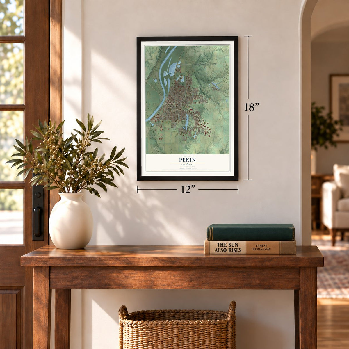
12" x 18" Archival Matte Print
A Map of Home. A Work of Art.
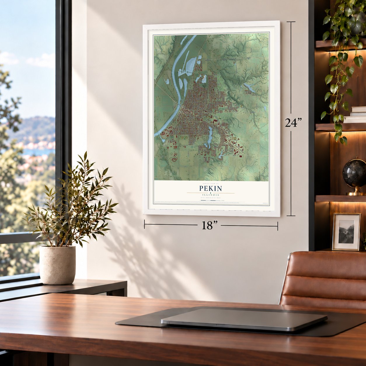
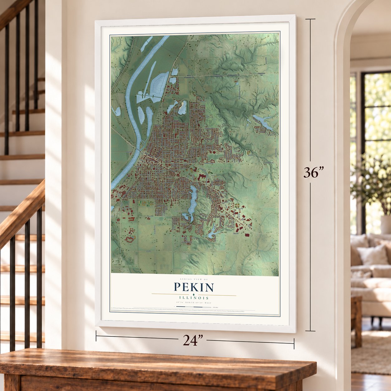
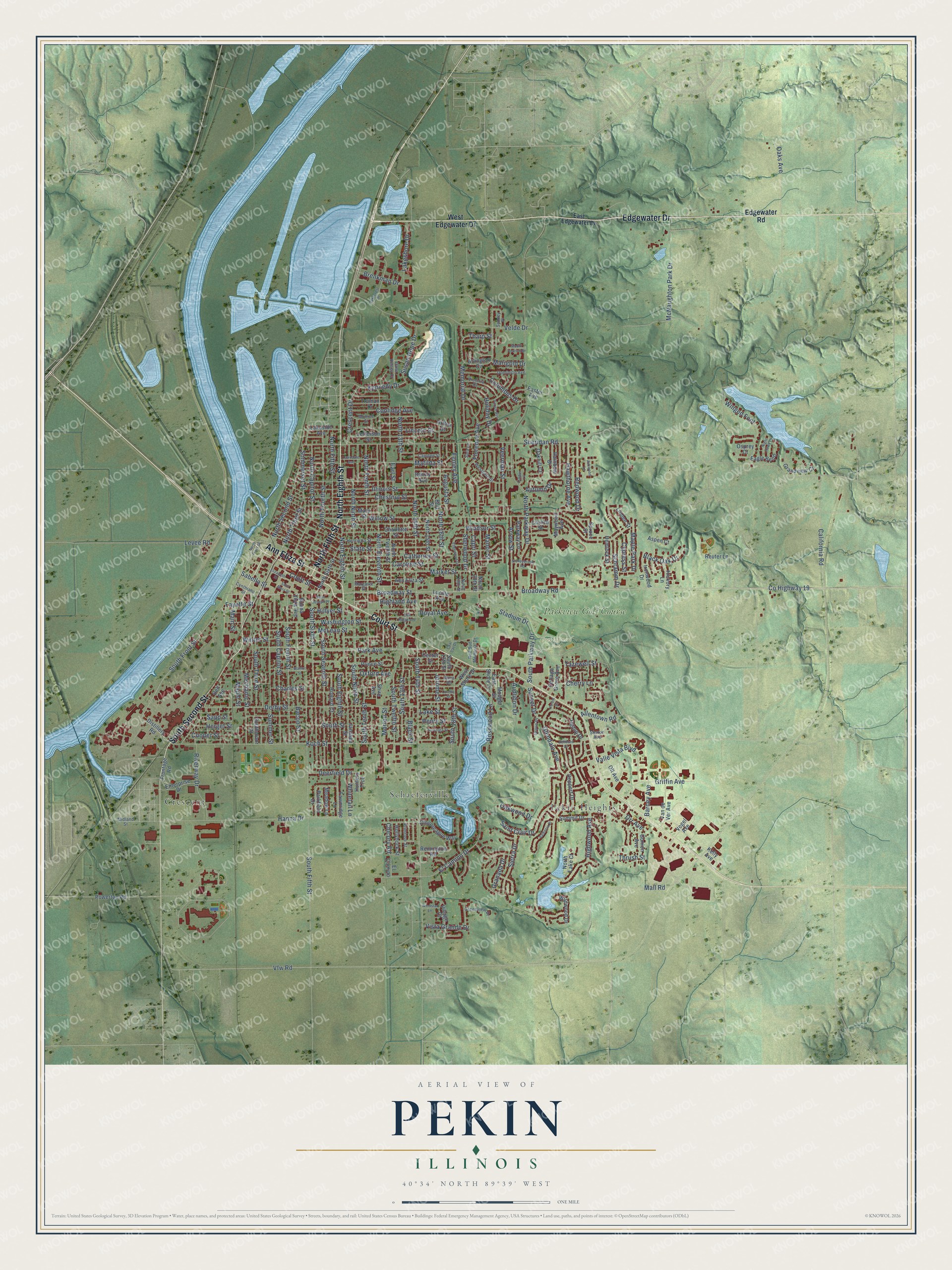
Explore Pekin, Illinois from a whole new perspective. Created using aerial imagery and detailed geographic data, this map captures Pekin building by building, with labeled streets, familiar landmarks, and shaded topographical relief that highlights the natural contours of the landscape.
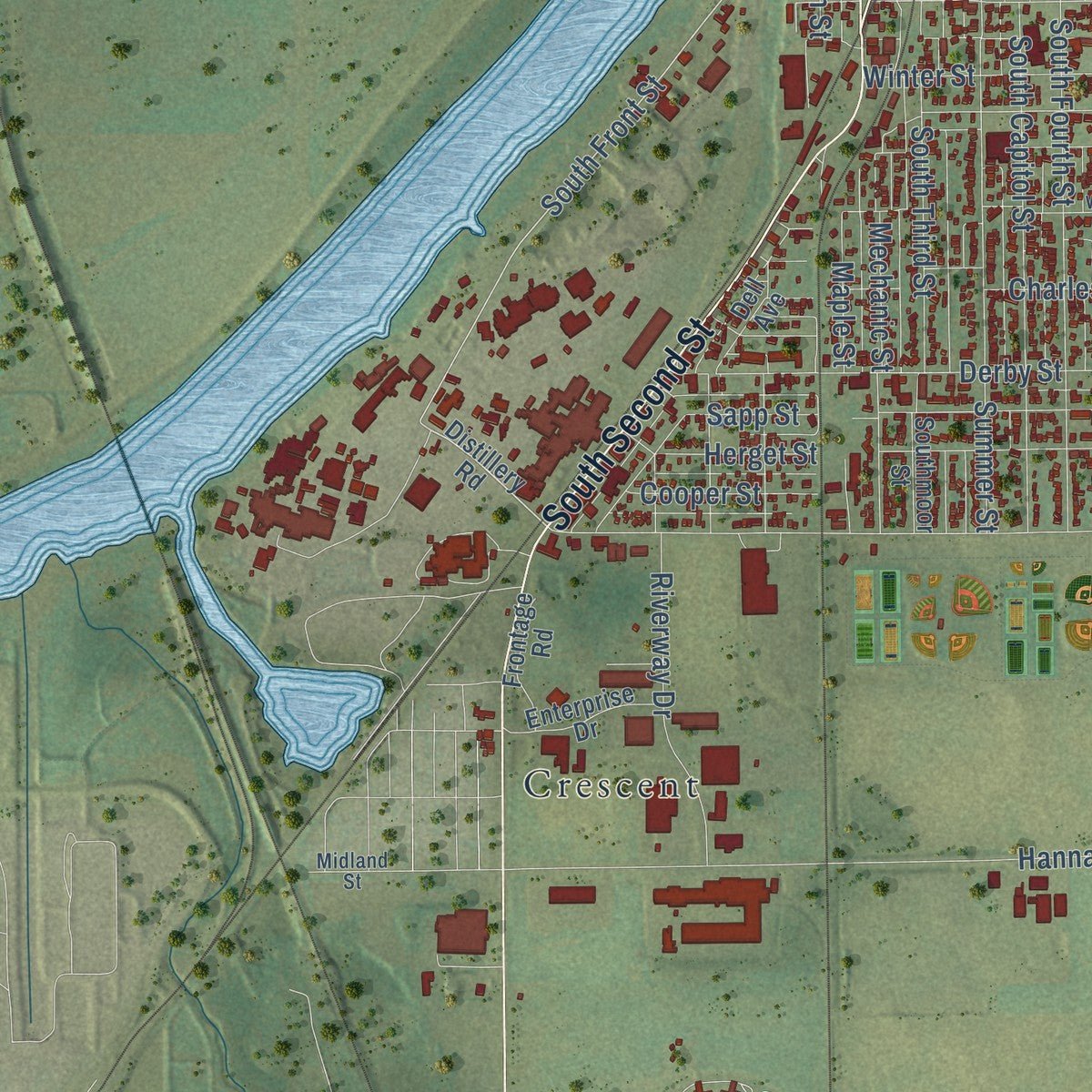
Combining modern data with the timeless character of a vintage atlas, this map is just as interesting up close as it is beautiful on the wall. Whether you grew up in Pekin, spent memorable years there, or call it home today, this unique map is a great way to celebrate a place that means something to you. Zoom in on the preview to look for your street, and then order a print to put your memories on the wall.
Three ways to hang it
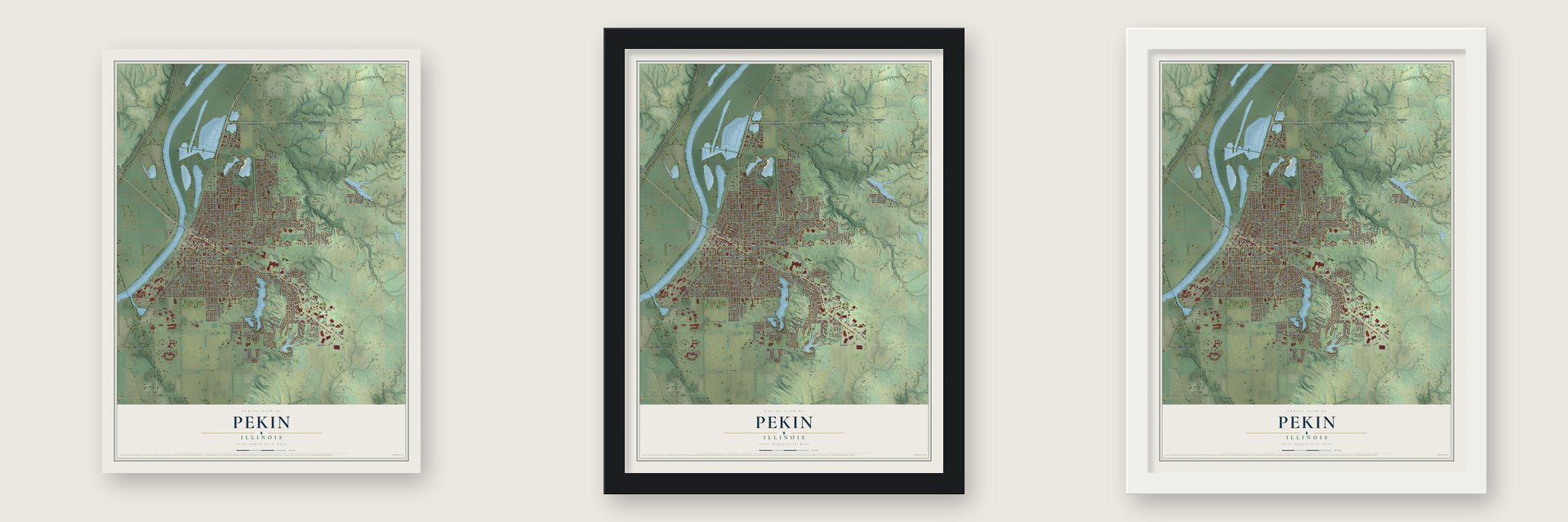
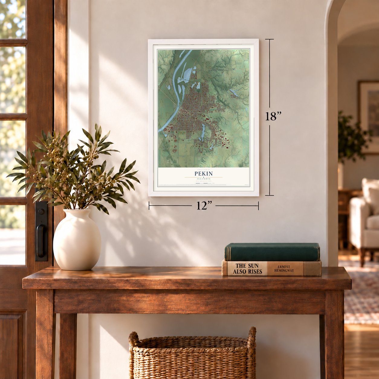
Unframed archival matte, a black wood frame or a white wood frame.
Up close
Geography Worth Displaying
This map was created using accurate cartographic data and authoritative geographic sources, including the U.S. Geological Survey and the Census Bureau. The map brings together terrain, waterways, roads, and building detail. The majority of the streets are labeled, houses are accurately depicted, and the topography is derived from government sources. Combining local data with carefully composed color and shading leads to this beautifully detailed Pekin artwork for your wall.
Rather than simply showing street outlines, we’ve included as many of the street names as we could reasonably fit on the map while keeping their names legible. Zoom in on the high resolution preview to see exactly what’s on the map. We truly set out to create a statement piece for anyone who loves Pekin. So whether it’s for you, or a gift for someone you love, we hope this map of Pekin brings back fond memories.
Read the story behind this map of Pekin, Illinois from 2026.

About Pekin, Illinois
Pekin is a city of 31,731 people and the county seat of Tazewell County, on the Illinois River. Jonathan Tharp, a farmer from Ohio, built a log cabin on a ridge above the river in 1824, and his father Jacob soon joined him. Their neighbors were the Potawatomi of Chief Shabbona's village, about 100 wigwams along Gravel Ridge, by what is now Pekin Lake.
County surveyor William Hodge marked out a town site in 1827. Two years later the plat was sold at auction in Springfield to Isaac Perkins, Gideon Hawley, William Haines and Nathan Cromwell. Cromwell's wife, Ann Eliza, chose the name Pekin, an old spelling of Peking, because she believed that city lay directly across the globe from her new town. The first post office opened on February 20, 1832.
“it is a presumption of law, in the State of Illinois, that every person is free, without regard to color”
- Freed with Lincoln's helpIn 1827 Nathan Cromwell bought Nance Costley at auction and took her with him to Pekin. When Cromwell died in 1836, her case went to probate court, and she lost. David Bailey, a local merchant who leaned abolitionist, turned to a lawyer friend, Abraham Lincoln, who argued for her before the Illinois Supreme Court in 1841. Justice Breese ruled that she was free, and she went on living in Pekin with her husband and children.
- Lincoln's 1843 bargainLincoln came to the Whig Convention in Pekin on May 1, 1843. Several local Whigs wanted to go to Congress, so they agreed to back one another for one term each rather than split the vote. Lincoln won his turn in 1846, served one term in the 30th Congress and then retired. It was his only time in Washington before he became president.
- The first Union League councilEarly in the Civil War, the Knights of the Golden Circle openly backed secession and slavery in Pekin. In answer, Dr. Daniel Cheever, who had aided the Underground Railroad from his office at Capitol and Court streets, met with 10 other men at 331 Court Street on June 25, 1862. That meeting started the Union League of America, whose earliest council was theirs, and the town's anti-slavery Germans joined in.
- A German river townGermans arrived after the Revolutions of 1848. In 1850 they were 272 of Pekin's 1,891 people, and by 1860 they were 774 of 3,467. John Herget, from Hesse-Darmstadt, served as mayor in 1873 and 1874. Before World War I, some stores posted signs reading "German Spoken Here," and the Pekin Freie Press printed news in German until the war turned it into the English-language Free Press.
Find your street
Names on the Pekin map
Every name below is printed on this map. Look for your street, your school, the park where you played, or the pond down the road.
Places and landmarks5
- Coal Miners Park
- Crescent
- Pekin Heights
- Schaeferville
- Parkview Golf Course
Streets and roads244
- North Eighth Street
- Edgewater Drive
- North Fifth Street
- Court Street
- South Second Street
- Ann Eliza Street
- North Third Street
- Broadway Road
- Mall Road
- Willow Street
- County Highway 19
- Broadway Street
- South Front Street
- South 13th Street
- Tharp Street
- North 16th Street
- North Capitol Street
- Sommerset Street
- Sheridan Road
- South 14th Street
- South Fifth Street
- North Parkway Drive
- Park Avenue
- Koch Street
- Hanna Drive
- Highwood Avenue
- State Street
- Vfw Road
- Derby Street
- Velde Drive
Show all 244 streets
- Caroline Street
- Valle Vista Boulevard
- California Road
- North Eleventh Street
- South Sixth Street
- Market Street
- South Capitol Street
- North 14th Street
- Catherine Street
- South Seventh Street
- South Fourth Street
- South Street
- South Eighth Street
- Washington Street
- Matilda Street
- North Fourth Street
- South Tenth Street
- McNaughton Park Drive
- South Ninth Street
- North Ninth Street
- North Tenth Street
- Winged Foot
- El Camino Drive
- Chestnut Street
- Illinois Street
- South Third Street
- South Twelfth Street
- Florence Avenue
- North 13th Street
- Mechanic Street
- Summer Street
- Charles Street
- Sierra Drive
- Bacon Street
- Saint Clair Drive
- Winter Street
- North Second Street
- McLean Street
- Glendale Avenue
- South Parkway Drive
- Stadium Drive
- Lincoln Street
- South 18th Street
- Memorial Drive
- Riverway Drive
- Griffin Avenue
- Royal Avenue
- Audubon Drive
- Oaks Avenue
- Arrow Street
- Veerman Street
- Black Street
- Coolidge Avenue
- Holiday Drive
- Sunset Drive
- Cypress Street
- Susan Hope Drive
- Windsor Street
- Redwood Drive
- Hawthorne Avenue
- Kennedy Drive
- Columbus Drive
- Brenkman Drive
- Sapp Street
- Highland Avenue
- Lakeshore Drive
- Oxford Avenue
- Augusta Street
- Rosewood Lane
- Jerome Street
- Crescent Drive
- Tazewell Street
- Sherwood Drive
- Maple Park Drive
- Levee Road
- Deerfield Drive
- Schramm Drive
- Cherry Lane
- Black Oak Drive
- Vista Grande Drive
- Sabella Street
- Manor Street
- Maple Street
- Herget Street
- Orr Avenue
- Fenley Avenue
- Allentown Road
- Whitetail Lane
- Cooper Street
- Oakwood Drive
- Earl Street
- Autumn Drive
- Fayette Street
- Barney Avenue
- Granada Drive
- Main Street
- Lake Street
- Henry Street
- Morton Street
- Chicory Road
- Capri Street
- Marigold Drive
- Thrush Street
- Hillyer Street
- West Edgewater Drive
- Edgewater Road
- Distillery Road
- Charlotte Street
- North Twelfth Street
- Prince Street
- Howard Court
- Arlington Circle
- Jefferson Street
- Arthur Street
- Summit Drive
- Janssen Street
- Rainbow Drive
- North 15th Street
- Maywood Avenue
- Hilltop Drive
- Mary Street
- Easter Avenue
- West Shore Drive
- Center Street
- North Sixth Street
- Deppert Drive
- Van de Ver Avenue
- Gingoteague Way
- Powerton Road
- Parkway Lane
- Remington Road
- Grandview Court
- Oakhill Court
- Osprey Court
- Ironwood Drive
- Olt Avenue
- Enterprise Drive
- Truman Drive
- Hemlock Street
- Eagle Bend
- Monge Street
- East Shore Drive
- Hickory Lane
- Hollyhock Street
- Wildwood Drive
- Lakeside Avenue
- Frontage Road
- Gunion Avenue
- Fawnridge Lane
- Meadow Lane
- Cottage Grove Avenue
- Dell Avenue
- North Lake Court
- Parkfield Drive
- Buena Vista Avenue
- Southmoor Street
- Reuter Lane
- Shire Avenue
- Village Court
- Linden Street
- Delray Avenue
- Aspen Court
- North 20th Street
- Lucille Avenue
- Church Street
- Vogel Avenue
- Kelly Avenue
- Buff Street
- South 17th Street
- Hunters Trce
- Spruce Street
- El Camino
- East Edgewater Drive
- Henrietta Street
- Monroe Street
- Margaret Street
- Dane - Kelsey Drive
- Victoria Drive
- Dominion Avenue
- Westgate Drive
- Greenview Drive
- Anna Road
- Red Bud Memorial Drive
- Camden Street
- Primrose Street
- Sydney Place
- Midland Street
- Cynthiana Street
- North 18th Street
- Grove Place
- Sharon Avenue
- Sara Lane
- Elizabeth Street
- Ashwood Lane
- Lawndale Avenue
- Lakecrest Drive
- Edgewood Drive
- Valencia Place
- Loretta Street
- Walnut Street
- Oak Ridge Avenue
- Belmont Drive
- North Front Street
- Saratoga Street
- Stoneybrook Road
- Night Hawk Court
- Saint Mary Street
- Parish Avenue
- Mount Vernon Drive
- Saint Joseph Place
- Windstar Lane
- Timber Lane
- Coal Car Drive
- Forest Drive
Names are listed as they appear on the printed map. Zoom into the product photos to find them.
The art of mapping a place
How This Map Was Made
Real places. Remarkable detail. Discover the layers that turn geographic data into a map of home.

The view from above
Aerial imagery reveals the character of the land: woodland, open fields, and the patterns of a place.

The shape of the land
Elevation data brings hills, valleys, and subtle changes in the landscape into view.

The details of home
Roads, waterways, and building footprints come together to make the map feel unmistakably local.

Geography becomes art
Considered color, shading, and typography bring the layers together in a map made for your wall.


Process illustrated with Mendon, Massachusetts. Aerial imagery: USDA NAIP. Terrain: USGS 3D Elevation Program. Map details and finished artwork: KNOWOL.
The Details
About This Print
Choose an archival matte print, or a black or white Ayous wood frame. The archival matte print is unframed.
Select your size and finish above to see the matching product image and price.
Materials & Craftsmanship
A contemporary map with the character of a classic atlas, printed on archival matte paper. Optional frames are made from Ayous wood.
Your printed map does not include the watermark shown in the full-map preview.
Shipping & Delivery
Free shipping within the United States. Every print is made to order in the USA.
Buying a gift? Add a note in your cart and we'll include it. We never put prices in the package.
Prints ship within 2 to 3 business days. Allow 7 to 10 days total from ordering for delivery. Timing may vary during holidays or periods of high order volume.
Read our shipping policy.
Returns and damaged prints
Each print is made to order. Change-of-mind refunds are not available after production.
If your print arrives damaged, misprinted or incorrect, contact support@knowol.com within 30 days of receiving it. Include your order number, photos and a description of the issue.
Read our full refund and replacement policy. For questions about your order, email support@knowol.com.
Find your town
Looking for another city?
Find a map of home in our Illinois collection, or any town in the country.
Nearby
Maps of towns near Pekin
Know someone from one of these towns? Their map makes a great gift.
 North Pekin
, Illinois
From $39.99See the map
 Marquette Heights
, Illinois
From $39.99See the map
 Creve Coeur
, Illinois
From $39.99See the map
More maps nearby: South Pekin, Mapleton, Bartonville, Tremont and Kingston Mines.