
Search for another town
Free U.S. delivery 7 to 10 days after you order
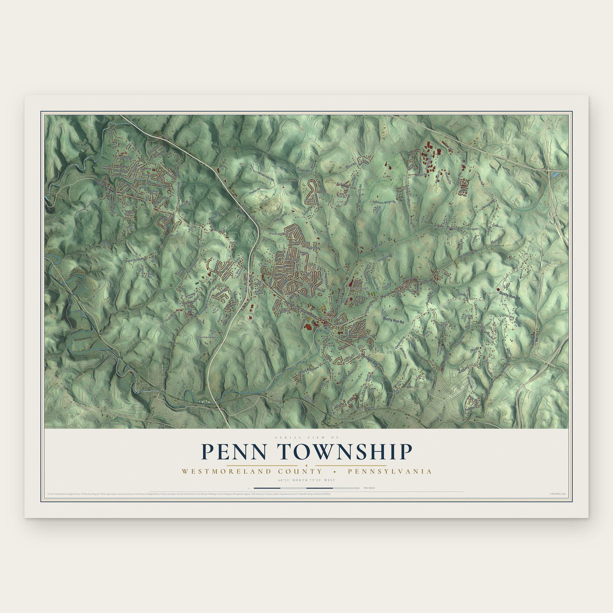
Penn Township, Westmoreland County, Pennsylvania Map Art
Building by building, with labeled streets and shaded relief.
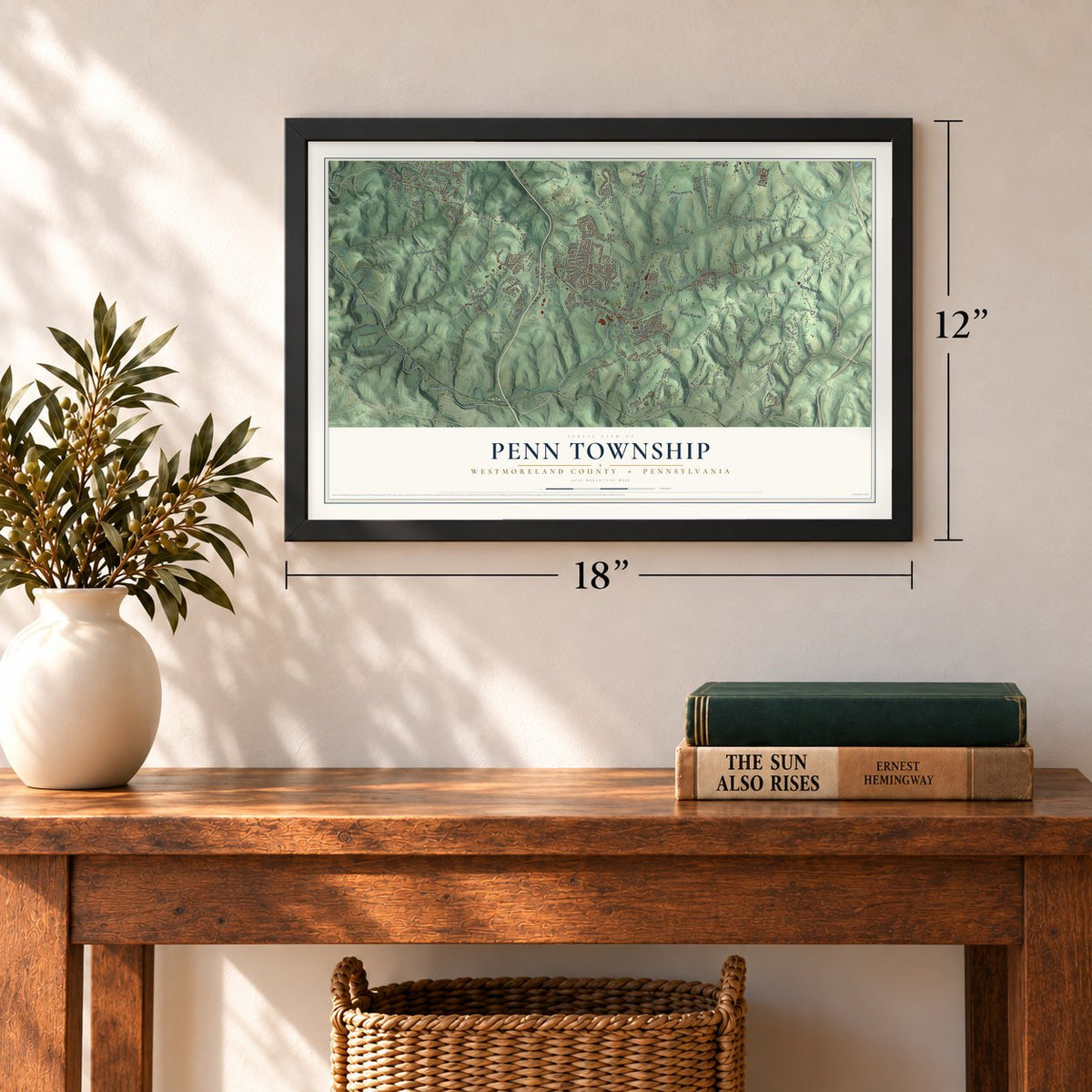
12" x 18" Archival Matte Print
A Map of Home. A Work of Art.
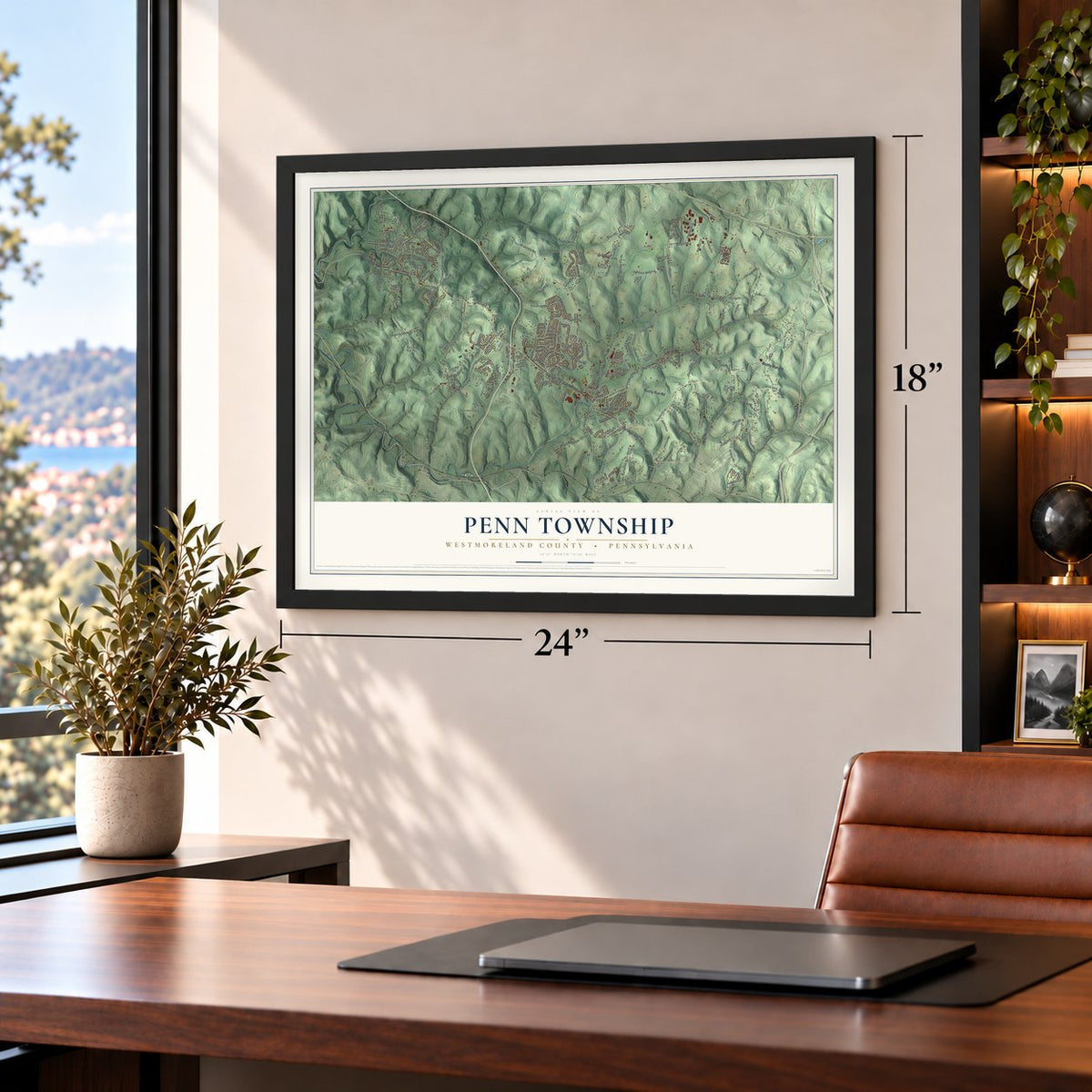
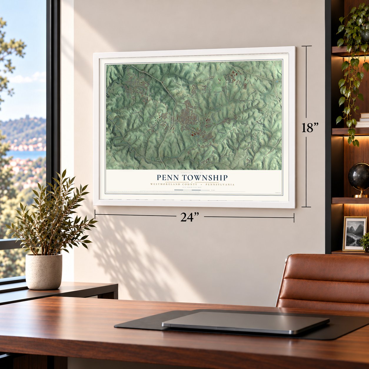
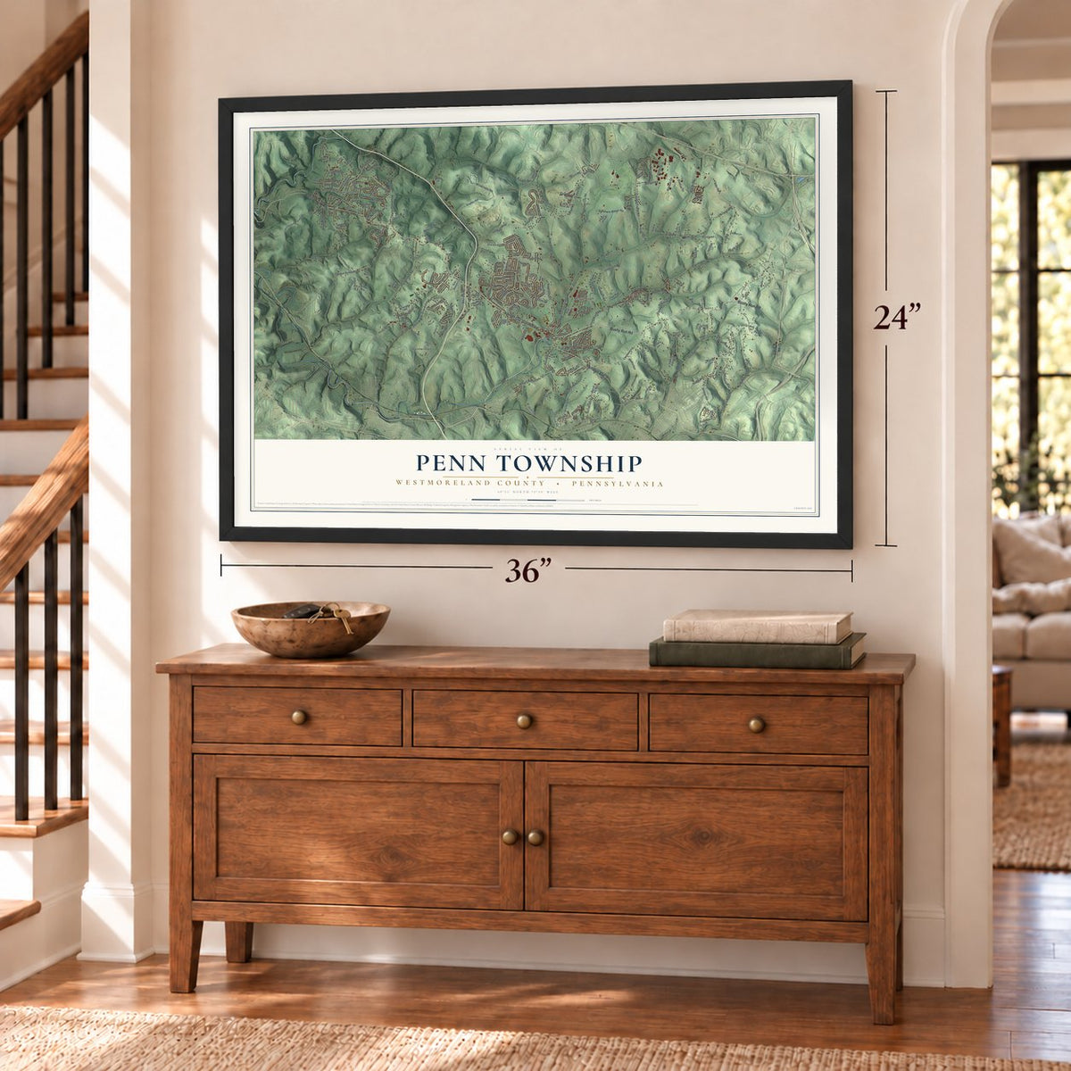
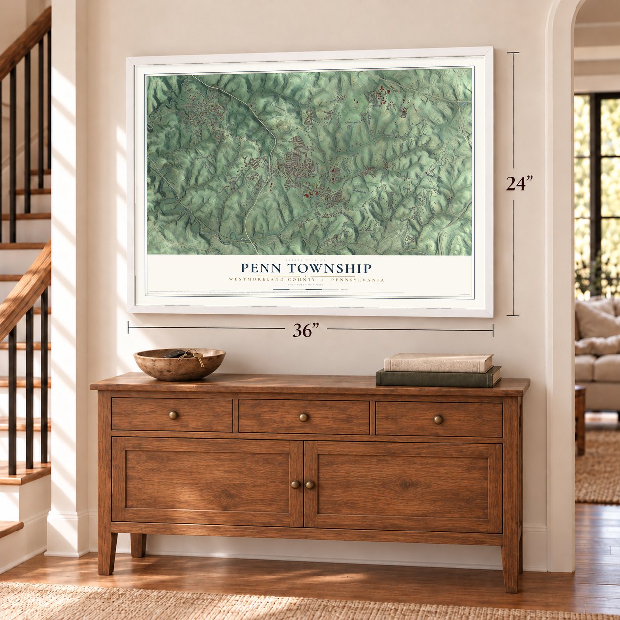
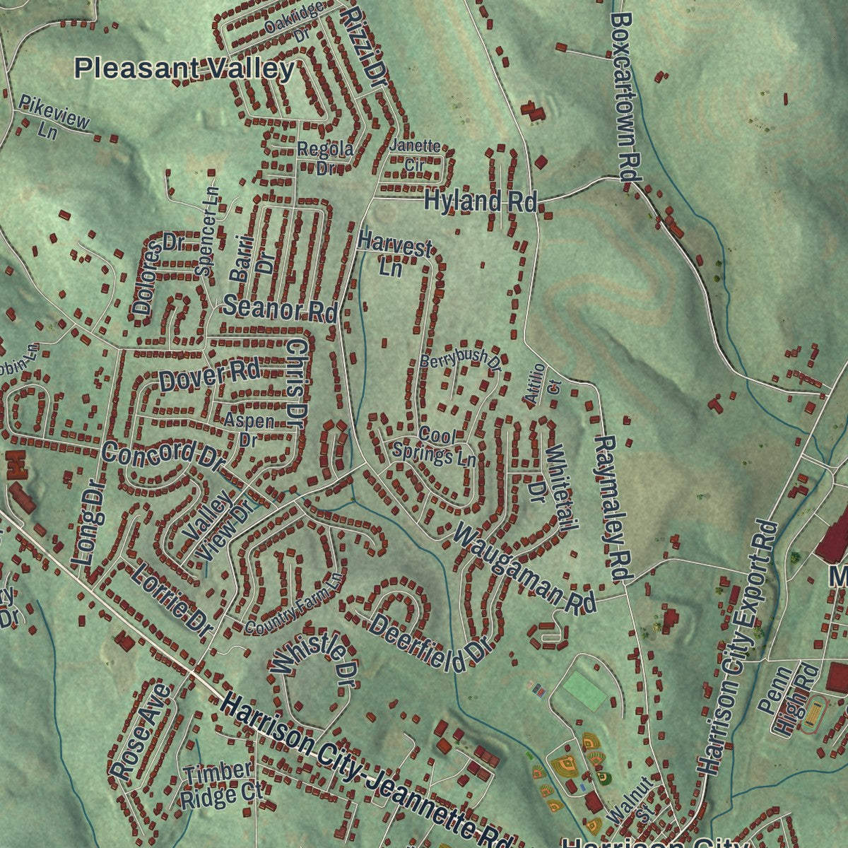
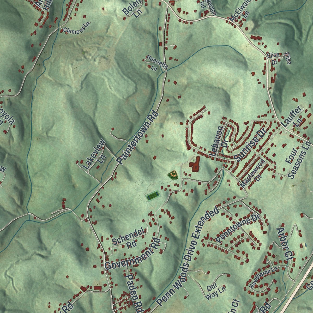
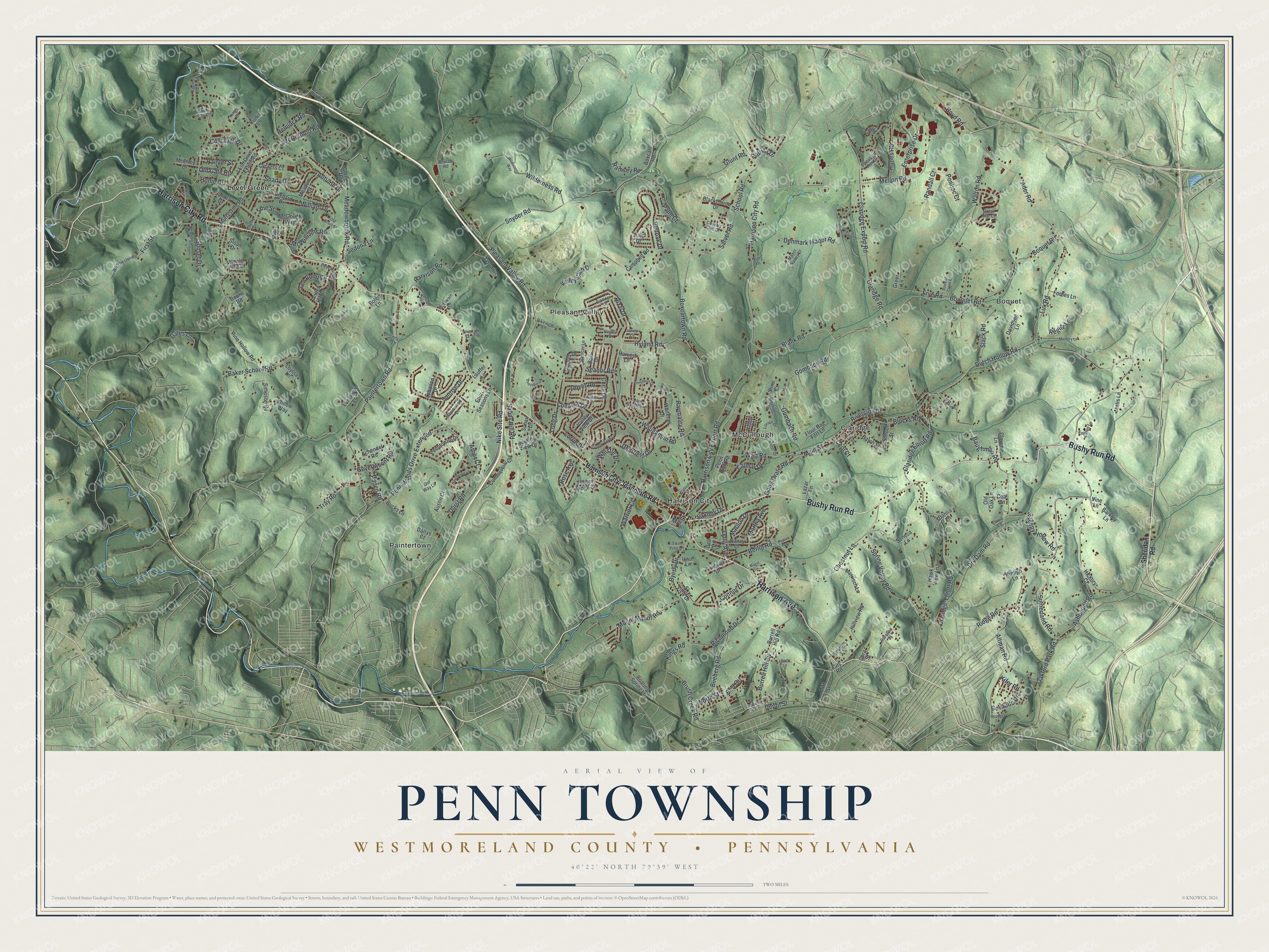
Explore Penn Township, Westmoreland County, Pennsylvania from a whole new perspective. Created using aerial imagery and detailed geographic data, this map captures Penn Township building by building, with labeled streets, familiar landmarks, and shaded topographical relief that highlights the natural contours of the landscape.
Combining modern data with the timeless character of a vintage atlas, this map is just as interesting up close as it is beautiful on the wall. Whether you grew up in Penn Township, spent memorable years there, or call it home today, this unique map is a great way to celebrate a place that means something to you. Zoom in on the preview to look for your street, and then order a print to put your memories on the wall.
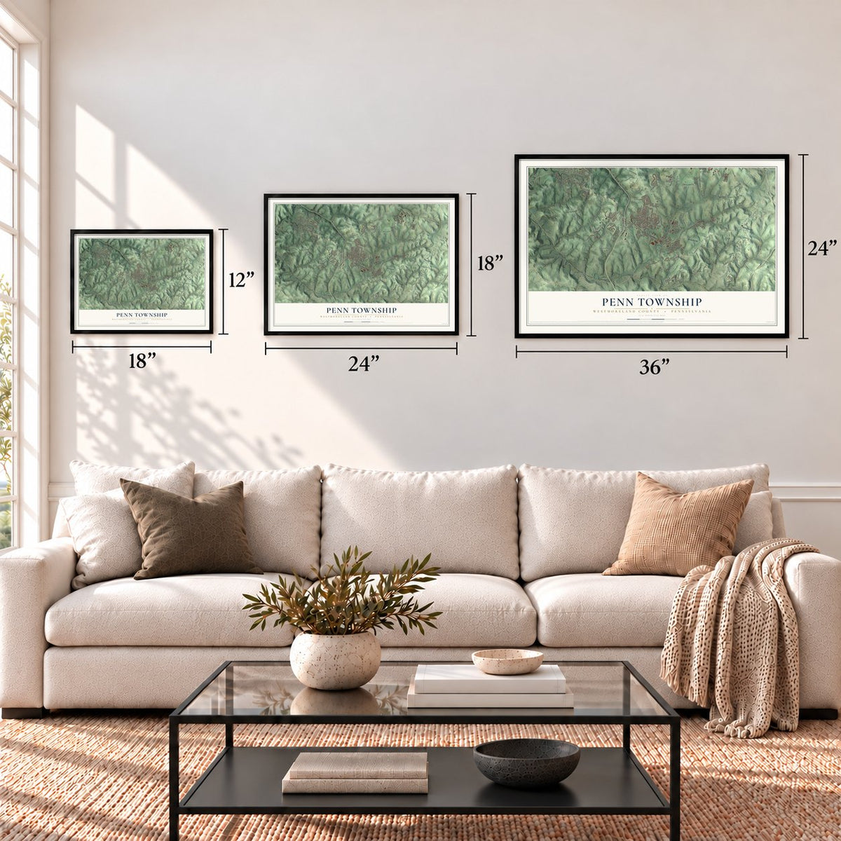
Three ways to hang it
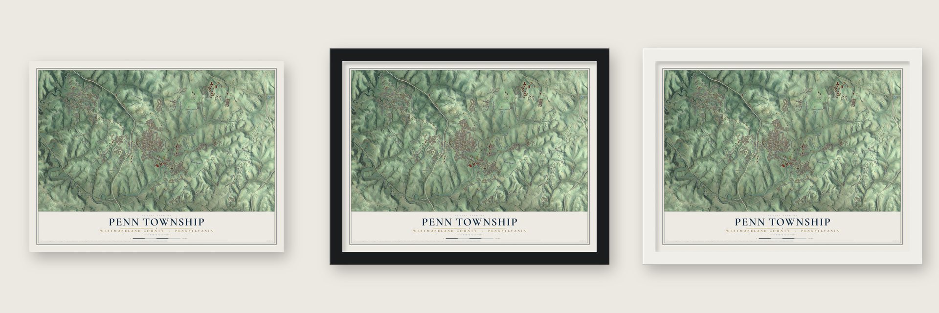
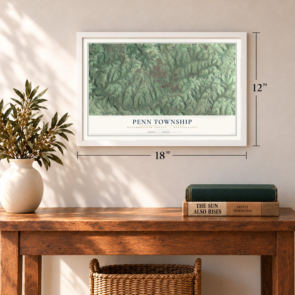
Unframed archival matte, a black wood frame or a white wood frame.
Up close
Geography Worth Displaying
This map was created using accurate cartographic data and authoritative geographic sources, including the U.S. Geological Survey and the Census Bureau. The map brings together terrain, waterways, roads, and building detail. The majority of the streets are labeled, houses are accurately depicted, and the topography is derived from government sources. Combining local data with carefully composed color and shading leads to this beautifully detailed Penn artwork for your wall.
Rather than simply showing street outlines, we’ve included as many of the street names as we could reasonably fit on the map while keeping their names legible. Zoom in on the high resolution preview to see exactly what’s on the map. We truly set out to create a statement piece for anyone who loves Penn. So whether it’s for you, or a gift for someone you love, we hope this map of Penn brings back fond memories.
Read the story behind this map of Penn Township, Westmoreland County, Pennsylvania from 2026.
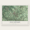
Find your street
Names on the Penn map
Every name below is printed on this map. Look for your street, your school, the park where you played, or the pond down the road.
Places and landmarks7
- Pleasant Valley
- Boquet
- Paintertown
- Claridge
- Level Green
- Harrison City
- McCullough
Streets and roads253
- Bushy Run Road
- Harrison Avenue
- Harrison City Road
- Harrison City Export Road
- Blank Road
- Sarver Road
- Mount Manor Road
- School Road
- Bouquet Road
- Boquet Road
- Richmond Drive
- Ader Road
- Gumbach Road
- Boyd Road
- Ridge Road
- Raymaley Road
- Claridge Export Road
- Pleasant Valley Road
- Claridge Road
- Hyland Road
- Meadowbrook Road
- Dutch Hollow Road
- Paintertown Road
- Boxcartown Road
- Mellon Road
- Baker School Road
- Snyder Road
- Claridge-Elliott Road
- Nike Site Road
- Dry Dam Road
Show all 253 streets
- Rizzi Drive
- Walton Road
- Hemlock Road
- Chestnut Lane
- Gombach Road
- Main Street
- Redoak Drive
- Denmark Manor Road
- Government Road
- Ashbaugh Road
- Altman Road
- Burrell Hill Circle
- Valley Club Drive
- Spring Valley Road
- Penn Woods Drive Extended
- Durst Road
- Seanor Road
- Harvison Road
- Sandy Hill Road
- First Street
- Lux Road
- Waugaman Road
- Wilderness Road
- McWilliams Road
- Claridge Elliott Road
- Baughman Road
- Blieberg Road
- Berlin Road
- Watt Road
- Sunrise Drive
- Sutherland Road
- Frye Road
- Oakford Park Road
- Autumn Drive
- Slack Road
- Enterprise Drive
- Byerly Drive
- Sleepy Hollow Road
- Ten Point Circle
- Whistle Drive
- Chris Drive
- Bert Circle
- Shady Drive
- Brush Creek Road
- William Drive
- Hones Road
- Deerfield Drive
- Long Drive
- Dover Road
- Gongaware Road
- Pontiac Court
- Tray Road
- Regitz Lane
- Sunset Drive
- Colbaugh Drive
- Martha Avenue
- Home Drive
- Marilou Drive
- Dolly Avenue
- Concord Drive
- Connor Drive
- Blocks Road
- Rose Avenue
- Calmar Drive
- Old Gate Road
- McDermott Road
- Kings Road
- Gertrude Drive
- Arbor Court
- Warrior Court
- Palm Court
- Sedona Lane
- Depot Street
- Riverside Drive
- Paden Road
- Painter Street
- Randall Court
- Dales Lane
- Ramsey Road
- Saxony Drive
- Glunt Road
- Lorrie Drive
- North Street
- Patrisa Drive
- Jane Street
- Kifer Road
- Ceol Court
- Mill Street
- Harrison City-Jeannette Road
- Sheridan Road
- 14th Street
- Pine Hollow Road
- Murrysville Road
- Simpson Road
- Burrell Hill Road
- Penntowne Drive
- Hillview Road
- Campbell Road
- Seneca Lane
- Barri Drive
- Nancy Drive
- Sky View Drive
- Elm Drive Extended
- Schendel Road
- Cypress Court
- Jason Lane
- Harvest Lane
- Davidson Lane
- Barkley Lane
- Flour Bag Fort Lane
- Whitetail Drive
- Commercial Court
- Antler Hill Drive
- Four Seasons Lane
- Lakeview Lane
- Baloh Street
- Matrisch Lane
- Blackthorne Drive
- Willow Way
- Meadow Drive
- Clover Lane
- Lazar Lane
- Austin Court
- School Street
- Gornik Road
- Roaring Spring Lane
- Country View Drive
- Forbes Lane
- Boone Road
- Richard Drive
- Boxcar Road
- Dolores Drive
- Bucks Lane
- Sunbirch Drive
- McGough Way
- Matis Lane
- McElroy Drive
- Loyola Lane
- Sandra Drive
- Valley View Drive
- Timber Ridge Court
- Lebanon Drive
- Hawk View Lane
- Noble Pine Court
- Old Oak Lane
- Sloan Drive
- Dallas Court
- Irwin Lane
- Hickory Court
- Lauffer Lane
- Penn High Road
- Greer Lane
- Vine Lane
- Kintigh Lane
- Bolen Lane
- Tulip Drive
- Cora Street
- Curtis Lane
- Dahlia Lane
- Suhan Drive
- Short Street
- City Road
- Coal Lane
- Shire Court
- Dell Drive
- Pheasant Run Drive
- Regola Drive
- Koter Drive
- Cool Springs Lane
- Country Club Drive
- Newell Lane
- Deer Run Drive
- Kepple Road
- Aspen Drive
- Cherry Drive
- Rivendell Drive
- Our Way Lane
- Pikeview Lane
- Winchester Road
- Spencer Lane
- Walnut Street
- Manor Valley Court
- Lorien Drive
- Fern Drive
- Estates Lane
- Maplewood Drive
- McElwain Lane
- Blossom Lane
- Caroline Street
- Twin Pine Lane
- Fawn Lane
- Locust Street
- Twin Oak Lane
- Nutty Lane
- Beulah Road
- Great Star Court
- Lyons Run Road
- David Lane
- Kings Court
- Saunders Station Road
- Wilderness Way
- Country Farm Lane
- Brookside Drive
- Hawthorne Lane
- Memory Lane
- Berrybush Drive
- Turk Street
- Janette Circle
- Oakridge Drive
- Dunrobin Lane
- Greggerson Road
- Bouquet Creek Court
- Clemons Lane
- Mediate Lane
- Henrietta Lane
- Old Trails Court
- Copper Street
- Elise
- Liberty Lane
- Patrick Drive
- Magill Lane
- Attilio Court
- Elise Drive
Names are listed as they appear on the printed map. Zoom into the product photos to find them.
About Penn Township, Westmoreland County, Pennsylvania
Penn Township is a township of 20,079 people in western Westmoreland County, about 25 miles east of Pittsburgh and seven miles west of Greensburg. It was named for William Penn, the founder of Pennsylvania, and it was incorporated on February 23, 1855.
In its early years, many Scotch-Irish families settled here to farm the township's good soil. Later, coal mining became a large part of the local economy. Today the township takes in the communities of Harrison City and Level Green, and its streams feed Turtle Creek, which flows to the Monongahela River.
- Bouquet's victory in 1763The Bushy Run Battlefield lies in Penn Township. On August 5 and 6, 1763, during the Pontiac War, Col. Henry Bouquet led British and American troops to a win over the Indians on this ground. The victory let his force go on and break the siege of Fort Pitt.
- A Carnegie Mellon lab in 1957In 1957 Carnegie Mellon University picked Penn Township as the place to build a new lab facility.
- First Class since 1958Penn Township became a First Class township in 1958, about a century after it was incorporated. Five commissioners govern it, each elected to a four-year term, and like every First Class township it runs its own police force.
Keep exploring Pennsylvania
Penn Township is one of 3,725 Pennsylvania towns we've mapped. Every dot on the map is a print of its own.
The search covers every state, Pennsylvania first.
Near Penn Township
Order 2 or more town maps and save 10%. Shown in the size and finish you picked above, so they hang as a set.
- McCullough 12" x 18" / Archival Matte Print $39.99
- Harrison City 12" x 18" / Archival Matte Print $39.99
- Manor 12" x 18" / Archival Matte Print $39.99
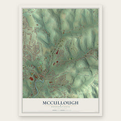
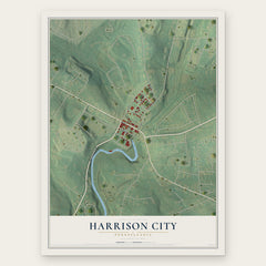

More maps nearby: Penn Borough, Export, Jeannette, Level Green and North Irwin.
The art of mapping a place
How This Map Was Made
Real places. Remarkable detail. Discover the layers that turn geographic data into a map of home.

The view from above
Aerial imagery reveals the character of the land: woodland, open fields, and the patterns of a place.

The shape of the land
Elevation data brings hills, valleys, and subtle changes in the landscape into view.

The details of home
Roads, waterways, and building footprints come together to make the map feel unmistakably local.

Geography becomes art
Considered color, shading, and typography bring the layers together in a map made for your wall.


Process illustrated with Mendon, Massachusetts. Aerial imagery: USDA NAIP. Terrain: USGS 3D Elevation Program. Map details and finished artwork: KNOWOL.
The Details
About This Print
Choose an archival matte print, or a black or white Ayous wood frame. The archival matte print is unframed.
Select your size and finish above to see the matching product image and price.
Materials & Craftsmanship
A contemporary map with the character of a classic atlas, printed on archival matte paper. Optional frames are made from Ayous wood.
Your printed map does not include the watermark shown in the full-map preview.
Shipping & Delivery
Free shipping within the United States. Every print is made to order in the USA.
Buying a gift? Add a note in your cart and we'll include it. We never put prices in the package.
Prints ship within 2 to 3 business days. Allow 7 to 10 days total from ordering for delivery. Timing may vary during holidays or periods of high order volume.
Read our shipping policy.
Returns and damaged prints
Each print is made to order. Change-of-mind refunds are not available after production.
If your print arrives damaged, misprinted or incorrect, contact support@knowol.com within 30 days of receiving it. Include your order number, photos and a description of the issue.
Read our full refund and replacement policy. For questions about your order, email support@knowol.com.