
Search for another town


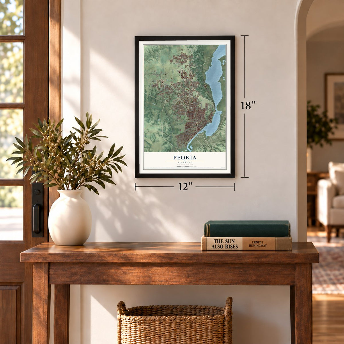
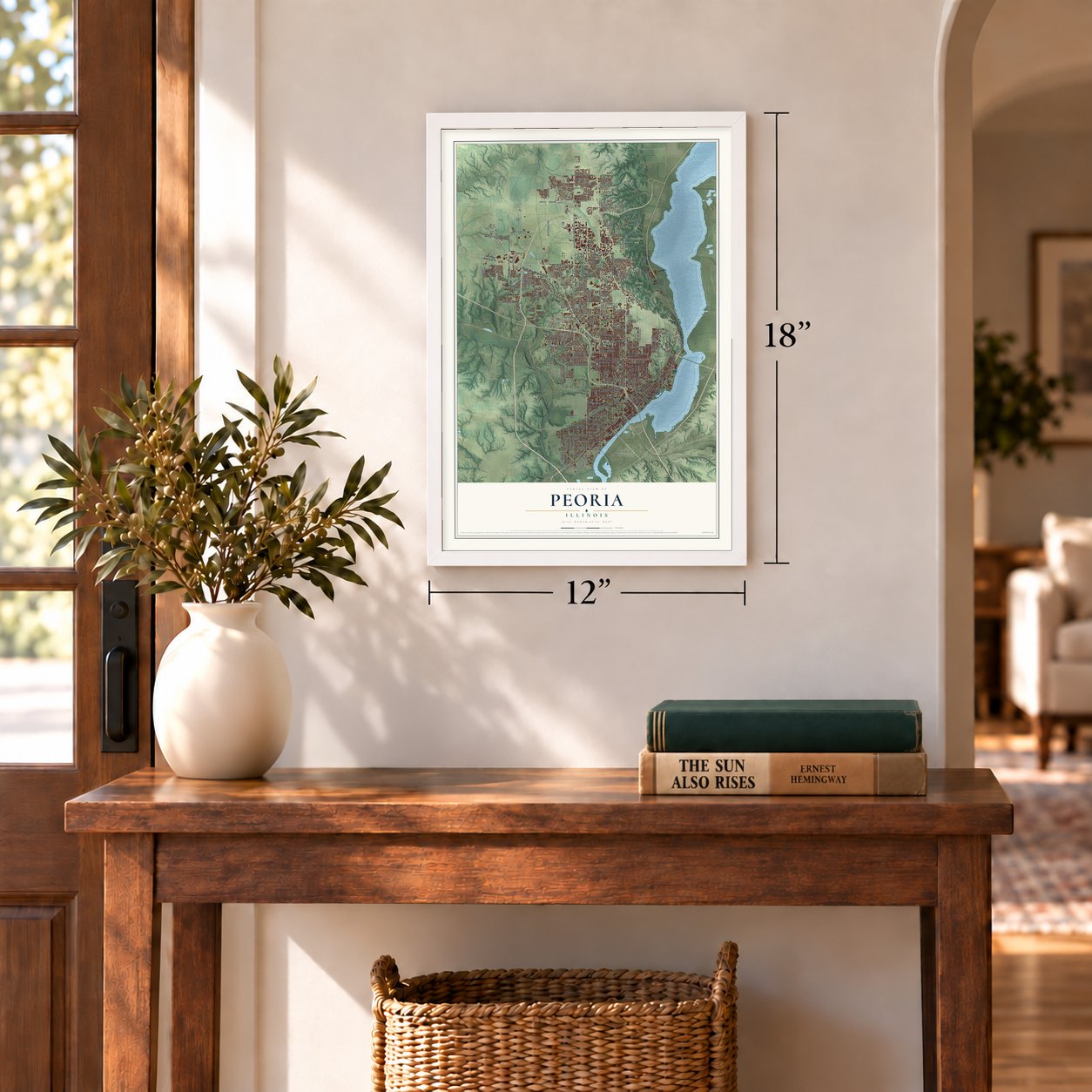
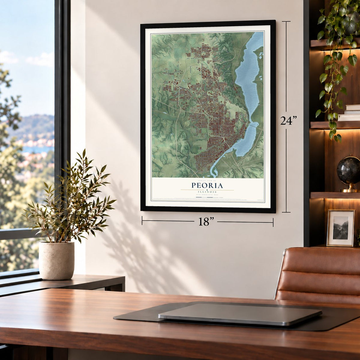
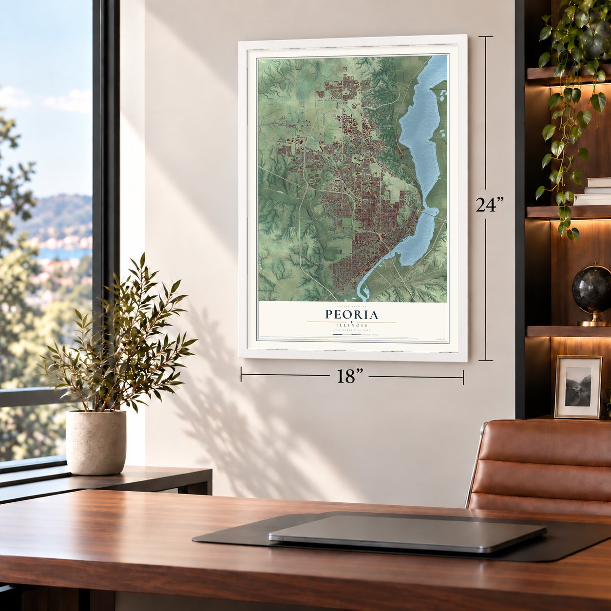


Free U.S. delivery 7 to 10 days after you order
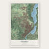
Peoria, Illinois Map Art
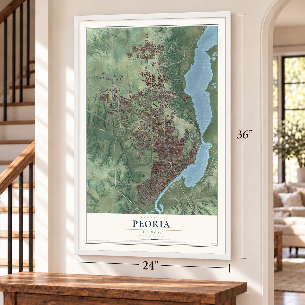
A new map of Peoria, Illinois, made in 2026 and printed to order on thick archival matte paper.
12" x 18" Archival Matte Print
A Map of Home. A Work of Art.
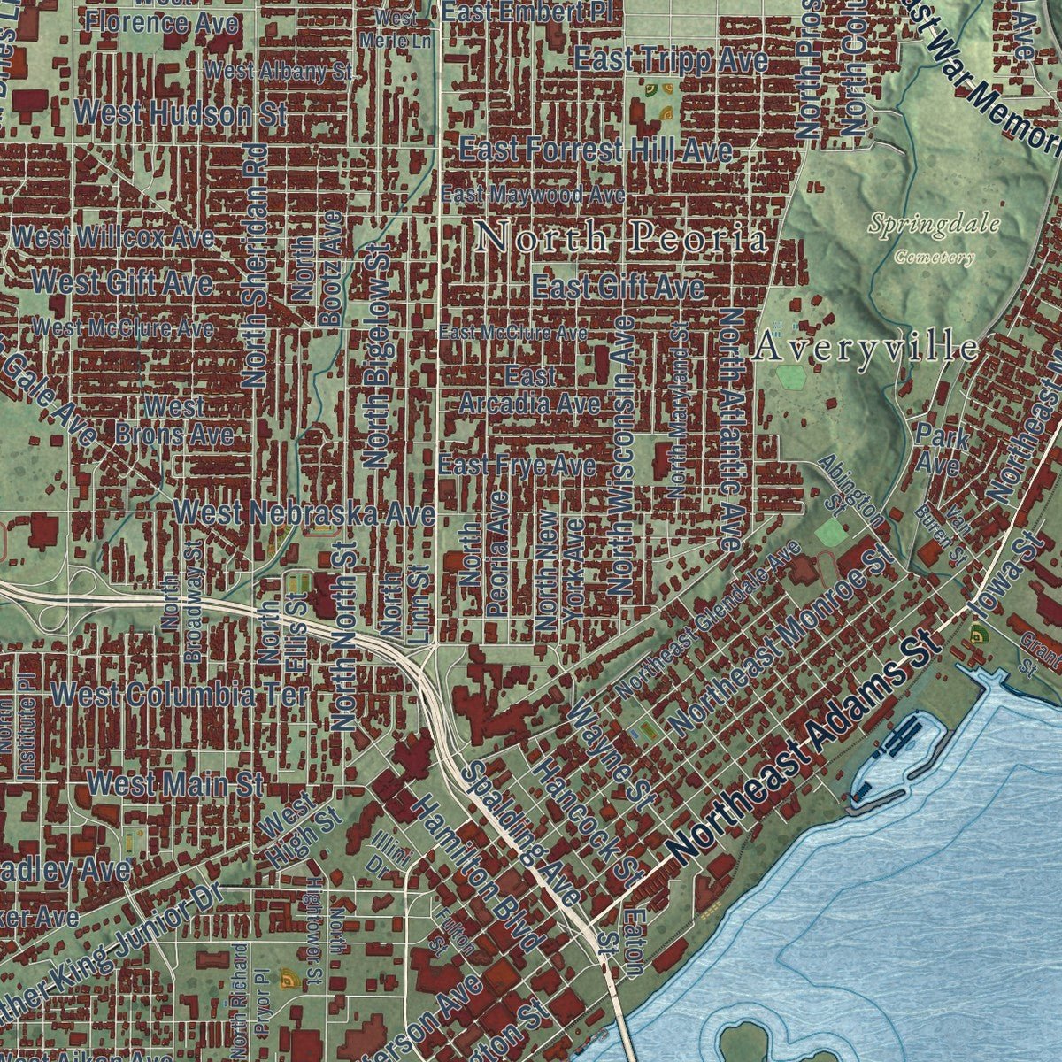
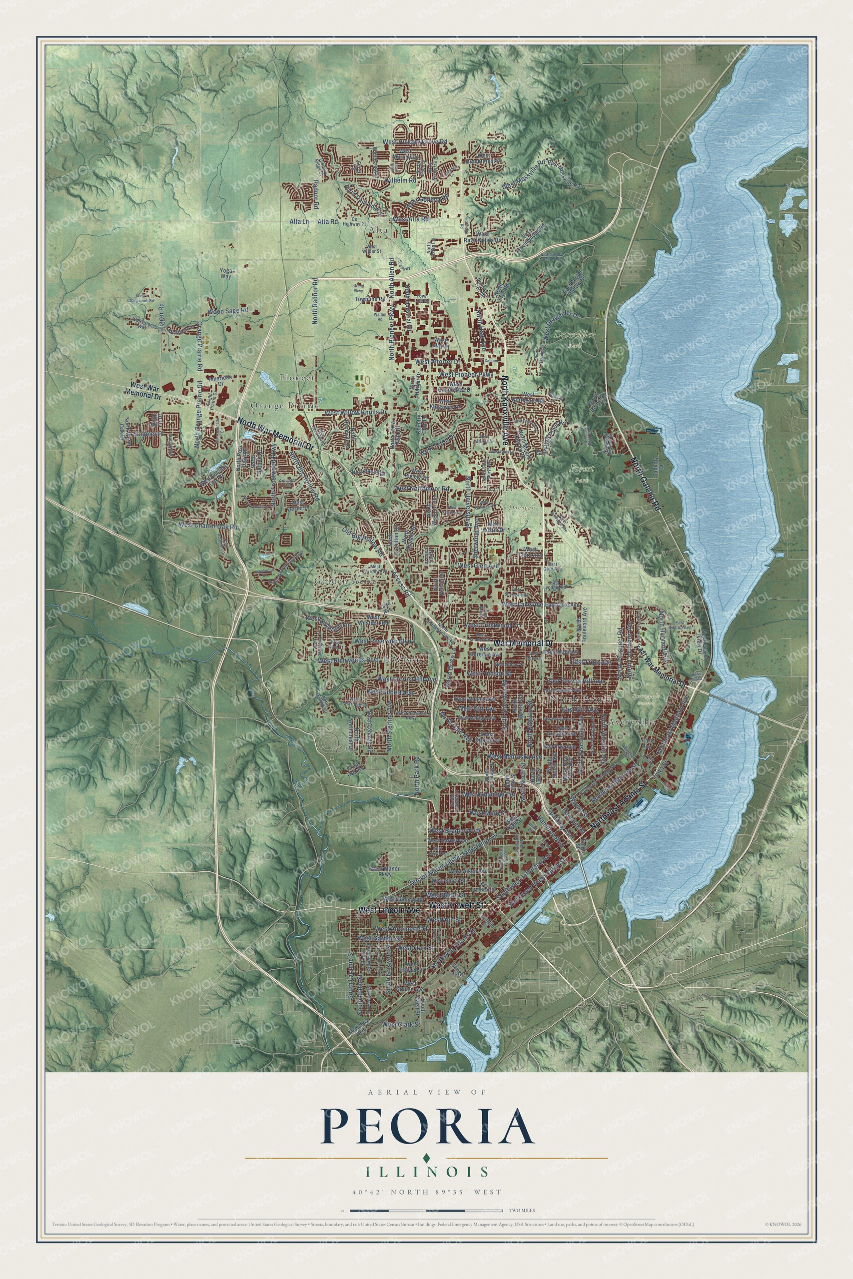
Explore Peoria, Illinois from a whole new perspective. Created using aerial imagery and detailed geographic data, this map captures Peoria building by building, with labeled streets, familiar landmarks, and shaded topographical relief that highlights the natural contours of the landscape.
Combining modern data with the timeless character of a vintage atlas, this map is just as interesting up close as it is beautiful on the wall. Whether you grew up in Peoria, spent memorable years there, or call it home today, this unique map is a great way to celebrate a place that means something to you. Zoom in on the preview to look for your street, and then order a print to put your memories on the wall.
Three ways to hang it
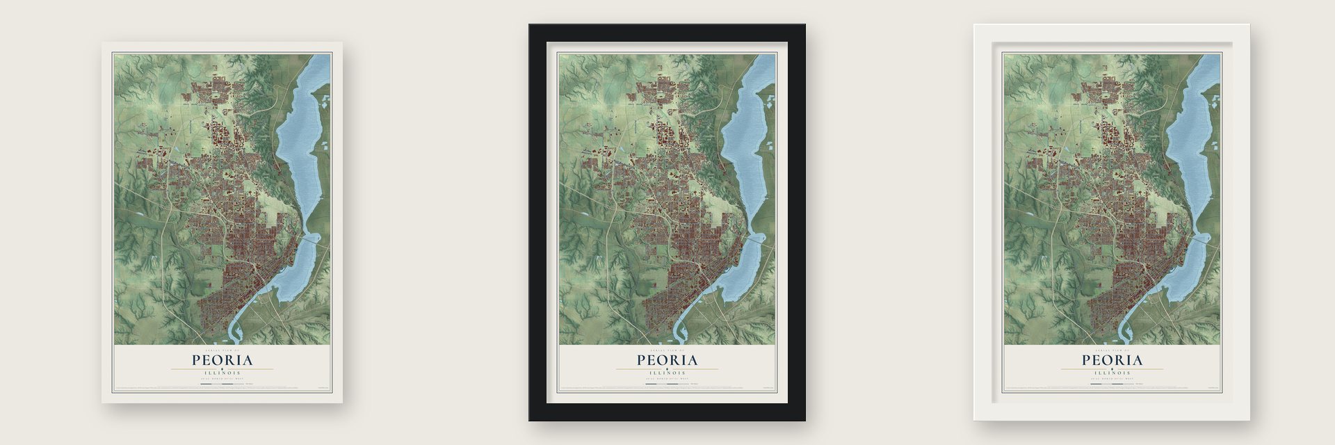
Unframed archival matte, a black wood frame or a white wood frame.
Up close
Geography Worth Displaying
This map was created using accurate cartographic data and authoritative geographic sources, including the U.S. Geological Survey and the Census Bureau. The map brings together terrain, waterways, roads, and building detail. The majority of the streets are labeled, houses are accurately depicted, and the topography is derived from government sources. Combining local data with carefully composed color and shading leads to this beautifully detailed Peoria artwork for your wall.
Rather than simply showing street outlines, we’ve included as many of the street names as we could reasonably fit on the map while keeping their names legible. Zoom in on the high resolution preview to see exactly what’s on the map. We truly set out to create a statement piece for anyone who loves Peoria. So whether it’s for you, or a gift for someone you love, we hope this map of Peoria brings back fond memories.
Read the story behind this map of Peoria, Illinois from 2026.
About Peoria, Illinois
Peoria is a city of 113,150 people on the Illinois River and the seat of Peoria County. Two explorers from France, Henri de Tonti and René-Robert Cavelier, Sieur de La Salle, built Fort Crevecoeur nearby in 1680. Tonti established a settlement in 1691, and the Illinois State Archaeological Survey counts Peoria as the oldest permanent European settlement in the state. The French fort later burned, and Fort Clark was built in 1813.
When Peoria County was organized in 1825, Fort Clark took the name Peoria, after the Peoria people of the Illinois Confederation. It became a village on March 11, 1835, with Rudolphus Rouse as village president. It became a city on April 21, 1845, and William Hale served as its first mayor. On October 16, 1854, Abraham Lincoln gave his Peoria speech here against the Kansas-Nebraska Act.
“About the year 1778 or 1779, the first house was built in what was then called La Ville de Maillet, afterwards the new village of Peoria, and which has recently been known by the name of Fort Clark, situated about one mile and a half below the old village, immediately at the lower point, or outlet of the lake.”
- Whiskey capital of the countryAndrew Eitle in 1837, Almiron S. Cole in 1844 and Joseph B. Greenhut helped make Peoria the world's leading distilling town, with more than 24 distilleries and 73 breweries between 1837 and 1919. Its district paid more alcohol tax than any other in the nation, supplying as much as 50% of that revenue during the Civil War. Prohibition ended the boom in 1920, and Peoria became a bootlegging center and home to the Shelton brothers.
- Penicillin from a cantaloupeIn 1942 a moldy cantaloupe from a Peoria grocery store yielded Penicillium chrysogenum, the mold first used to make penicillin on a large scale. The USDA lab in Peoria, now the National Center for Agricultural Utilization Research, was one of the places where mass production of the drug was developed.
- Home of CaterpillarCaterpillar Tractor Co. came out of a 1925 merger of two firms from California, the C.L. Best Tractor Co. and the Benjamin Holt Co. Caterpillar kept its world headquarters here until it moved to Deerfield in 2018, and it is still the city's second-biggest employer.
Find your street
Names on the Peoria map
Every name below is printed on this map. Look for your street, your school, the park where you played, or the pond down the road.
Places and landmarks12
- Detweiller Park
- Donovan Park
- Forest Park
- Springdale Cemetery
- Alta
- Averyville
- El Vista
- Golden Acres
- Keller
- North Peoria
- Orange Prairie
- Pioneer
Streets and roads238
- Northeast Adams Street
- War Memorial Drive
- North Galena Road
- West Howett Street
- North Knoxville Avenue
- North War Memorial Drive
- West Lincoln Avenue
- Southwest Adams Street
- Spalding Avenue
- Wayne Street
- Southwest Jefferson Avenue
- West Main Street
- West Lake Avenue
- Radnor Road
- Sommer Place
- West Nebraska Avenue
- West Mossville Road
- North University Street
- North Allen Road
- North Sheridan Road
- West Detweiller Drive
- North Prospect Road
- West Forrest Hill Avenue
- North Sterling Avenue
- Northeast Madison Avenue
- West Glen Avenue
- Doctor Martin Luther King Junior Drive
- North North Street
- Southwest Washington Street
- North Big Hollow Road
Show all 238 streets
- North Bigelow Street
- West Richwoods Boulevard
- West Willow Knolls Drive
- North Gale Avenue
- West Charter Oak Road
- North Orange Prairie Road
- Northeast Monroe Street
- West Northmoor Road
- North Wisconsin Avenue
- Wilhelm Road
- North Radnor Road
- Orange Prairie Road
- West Gilbert Avenue
- West Reservoir Boulevard
- North Pioneer Parkway
- West Garden Street
- West Pioneer Parkway
- West Antoinette Street
- North Atlantic Avenue
- West Hickory Grove Road
- West Ann Street
- South Griswold Street
- West Teton Drive
- West Altorfer Drive
- South Laramie Street
- West Columbia Terrace
- Alta Lane
- Alta Road
- West Hudson Street
- East Forrest Hill Avenue
- West Starr Street
- West Crestwood Drive
- West Butler Street
- West Alta Road
- Hamilton Boulevard
- West Gift Avenue
- South Idaho Street
- North Frostwood Parkway
- East Tripp Avenue
- East Gift Avenue
- North Harvard Avenue
- East High Point Road
- Trigger Road
- North Columbus Avenue
- North Hale Avenue
- West Geneva Road
- Old Big Hollow Road
- West Bradley Avenue
- Wood Sage Road
- West Saymore Lane
- North Dries Lane
- Hancock Street
- Sherwood Avenue
- Access Road
- North Park Road
- West Clark Street
- Iowa Street
- East War Memorial Drive
- West War Memorial Drive
- North Grand View Drive
- McKinley Avenue
- North Peoria Avenue
- West High Street
- West Northgate Road
- North Ellis Street
- North Hamilton Road
- West Millman Street
- West Ravinwoods Road
- North New York Avenue
- North Linn Street
- West Austin Drive
- North Mount Hawley Road
- North Lehman Road
- West Willcox Avenue
- East Lake Avenue
- West Krause Avenue
- West Florence Avenue
- North Western Avenue
- East Frye Avenue
- East Arcadia Avenue
- South Folkers Avenue
- West Hayes Street
- West Smith Street
- East Ravinwoods Road
- North Industrial Road
- East Poplet Hollow Road
- North Trails Edge Drive
- West Aiken Avenue
- West Brookforest Drive
- West Westport Road
- East Mossville Road
- North Suffolk Drive
- West Candletree Drive
- West Manor Parkway
- North Ronald Road
- North Post Oak Road
- West Ancient Oak Drive
- West Barker Avenue
- North Boulevard Avenue
- Townline Road
- West Brons Avenue
- East Embert Place
- South Darst Street
- Wynncrest Lane
- North Nelson Drive
- North Terra Vista Drive
- North Bootz Avenue
- North Rockvale Drive
- North Northcrest Drive
- West Bacon Drive
- West Kingsway Drive
- Sankoty Drive
- White Fir Drive
- Sanger Street
- North Harker Drive
- North Water Oak Drive
- North Frye Road
- American Drive
- Country Club Lane
- West Riviera Drive
- West Murphy Drive
- North Derby Road
- Great Oak Road
- West Verner Drive
- West Clara Avenue
- Park Avenue
- Lake Avenue
- West Luthy Drive
- Onyx Lane
- Yoga Way
- Eaton Street
- Northeast Skyline Drive
- County Highway 21
- West McClure Avenue
- North Molleck Drive
- North Broadway Street
- Northeast Glendale Avenue
- North Maryland Street
- North Institute Place
- North Weaverridge Boulevard
- East Maywood Avenue
- West Albany Street
- West Newman Parkway
- North Meadowbrook Road
- Abington Street
- North Saint Marys Road
- North Northtrail Drive
- West Parkridge Drive
- West McBean Street
- Town Line Road
- Waterstone Way
- Greenwich Place
- Brookmere Street
- East Bishop Avenue
- West Wilder Street
- Grand Prairie Drive
- West Farrelly Avenue
- North Jason Drive
- Tuscany Ridge Court
- East Lyndale Road
- North Pine Tree Road
- North Dawn Drive
- East Glen Avenue
- North Dalea Lane
- Edmund Street
- West Kiva Court
- Illini Drive
- Edgewild Drive
- South Blaine Street
- West Stratford Drive
- East McClure Avenue
- South Ligonier Street
- West Chartwell Road
- West Daytona Drive
- North Upper Skyline Drive
- South Oregon Street
- West Stonegate Road
- West Wilshire Drive
- North Grand Boulevard
- West Merle Lane
- North Marbleway Drive
- West Giles Lane
- North Oakridge Lane
- North Boyds Hollow Road
- West Rockwell Drive
- North Rothmere Drive
- West Challacomb Road
- Creighton Terrace
- North Humboldt Avenue
- Van Buren Street
- West Aspen Way
- North Hightower Street
- West Oakglen Drive
- Summershade Circle
- Sud Parkway
- North Richard Pryor Place
- Jewelwood Court
- Fulton Street
- Grant Street
- Frontage Road
- Grand Parkway
- Crestpoint Lane
- West Ayres Avenue
- Hazel Way
- Walton Road
- North Bryer Place
- Salaam
- News Plaza
Names are listed as they appear on the printed map. Zoom into the product photos to find them.
The art of mapping a place
How This Map Was Made
Real places. Remarkable detail. Discover the layers that turn geographic data into a map of home.

The view from above
Aerial imagery reveals the character of the land: woodland, open fields, and the patterns of a place.

The shape of the land
Elevation data brings hills, valleys, and subtle changes in the landscape into view.

The details of home
Roads, waterways, and building footprints come together to make the map feel unmistakably local.

Geography becomes art
Considered color, shading, and typography bring the layers together in a map made for your wall.


Process illustrated with Mendon, Massachusetts. Aerial imagery: USDA NAIP. Terrain: USGS 3D Elevation Program. Map details and finished artwork: KNOWOL.
The Details
About This Print
Choose an archival matte print, or a black or white Ayous wood frame. The archival matte print is unframed.
Select your size and finish above to see the matching product image and price.
Materials & Craftsmanship
A contemporary map with the character of a classic atlas, printed on archival matte paper. Optional frames are made from Ayous wood.
Your printed map does not include the watermark shown in the full-map preview.
Shipping & Delivery
Free shipping within the United States. Every print is made to order in the USA.
Buying a gift? Add a note in your cart and we'll include it. We never put prices in the package.
Prints ship within 2 to 3 business days. Allow 7 to 10 days total from ordering for delivery. Timing may vary during holidays or periods of high order volume.
Read our shipping policy.
Returns and damaged prints
Each print is made to order. Change-of-mind refunds are not available after production.
If your print arrives damaged, misprinted or incorrect, contact support@knowol.com within 30 days of receiving it. Include your order number, photos and a description of the issue.
Read our full refund and replacement policy. For questions about your order, email support@knowol.com.
Find your town
Looking for another city?
Find a map of home in our Illinois collection, or any town in the country.
Nearby
Maps of towns near Peoria
Know someone from one of these towns? Their map makes a great gift.
 Peoria Heights
, Illinois
From $39.99See the map
 West Peoria
, Illinois
From $39.99See the map
 Mossville
, Illinois
From $39.99See the map
More maps nearby: Norwood, Bellevue, Bay View Gardens, Spring Bay and East Peoria.