
Search for another town
Free U.S. delivery 7 to 10 days after you order
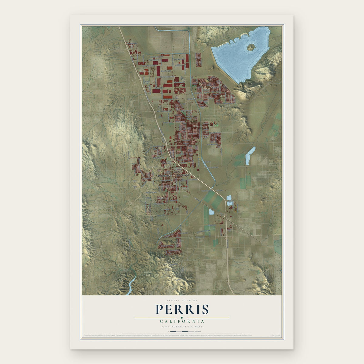
Perris, California Map Art
Building by building, with labeled streets and shaded relief.
12" x 18" Archival Matte Print
A Map of Home. A Work of Art.
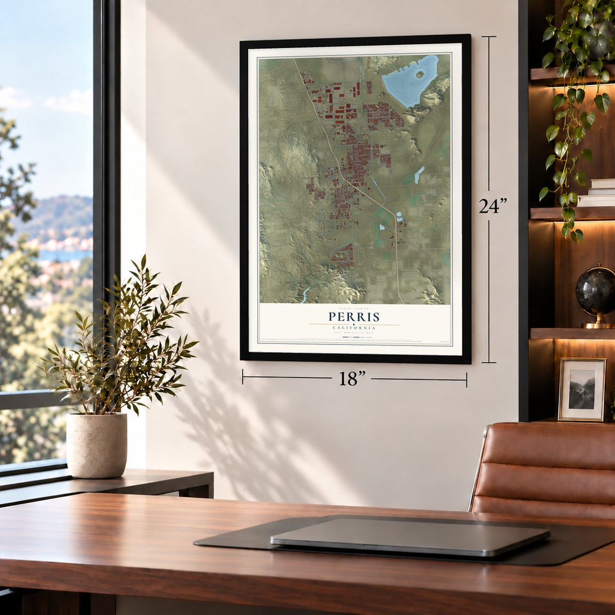
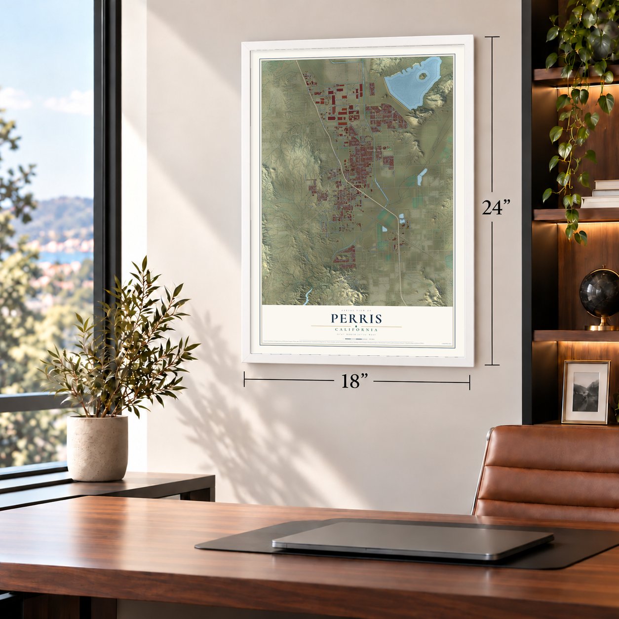
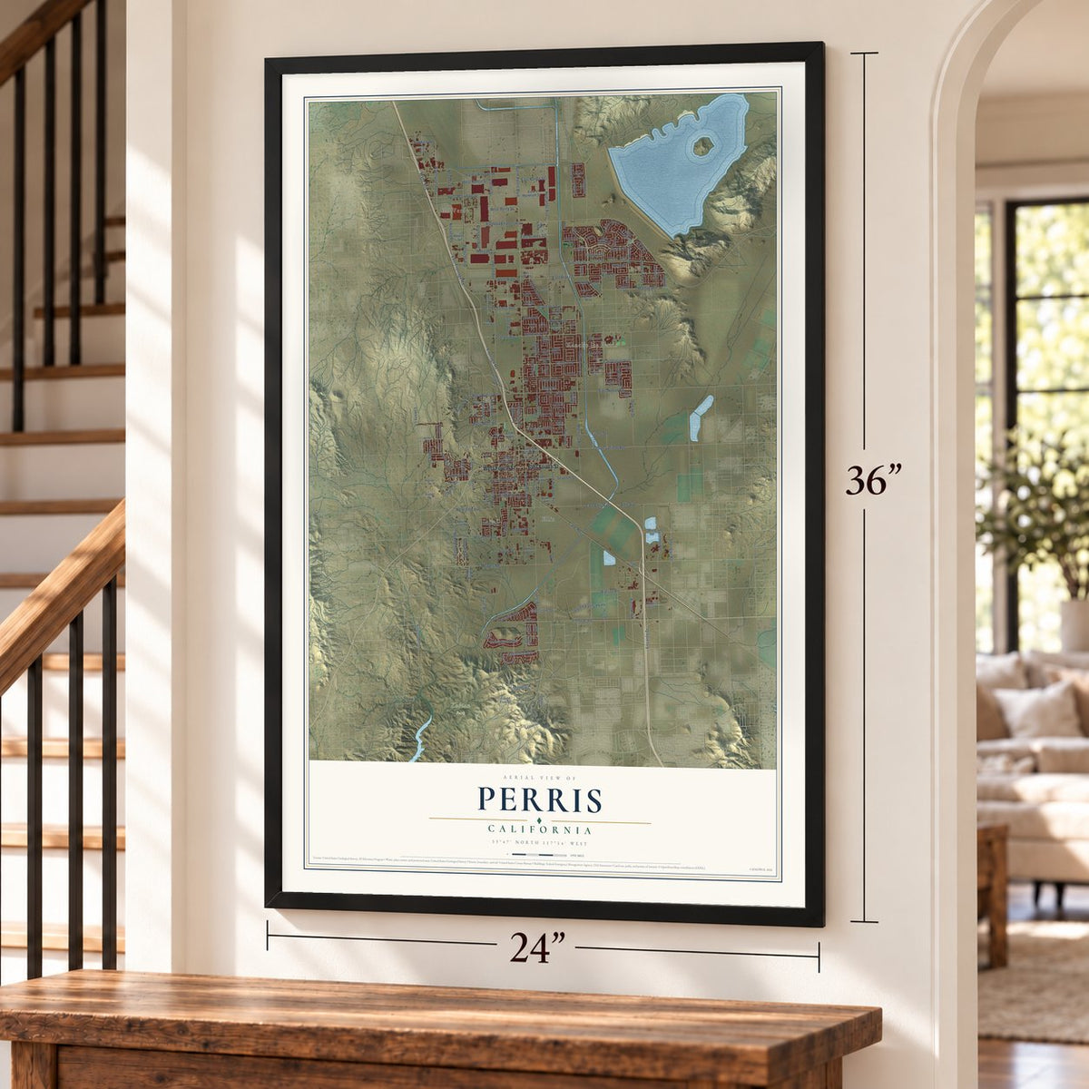
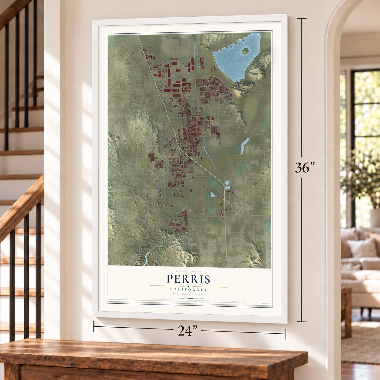
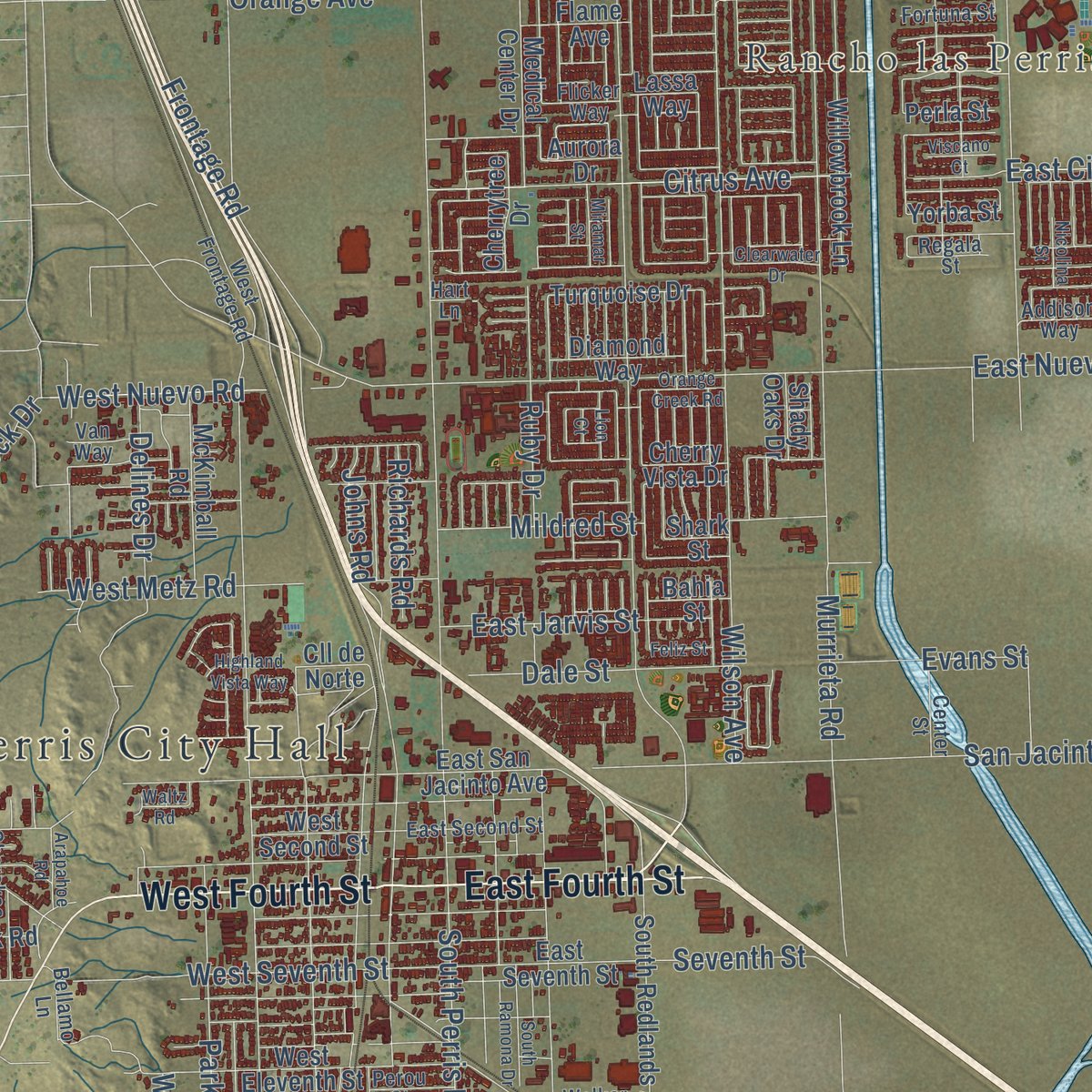
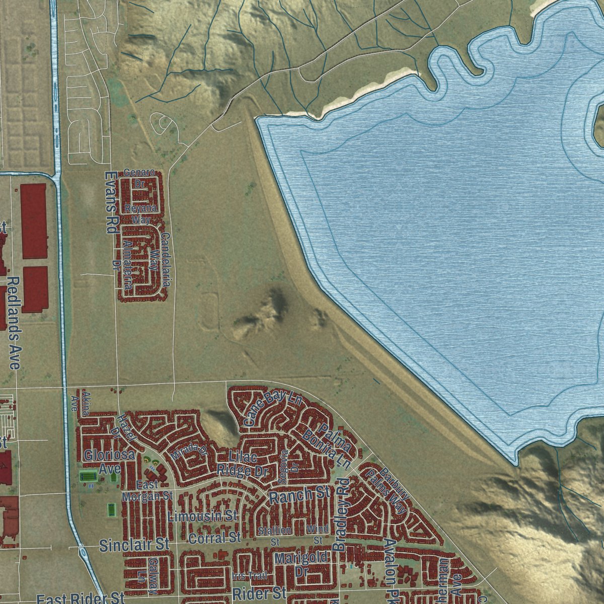
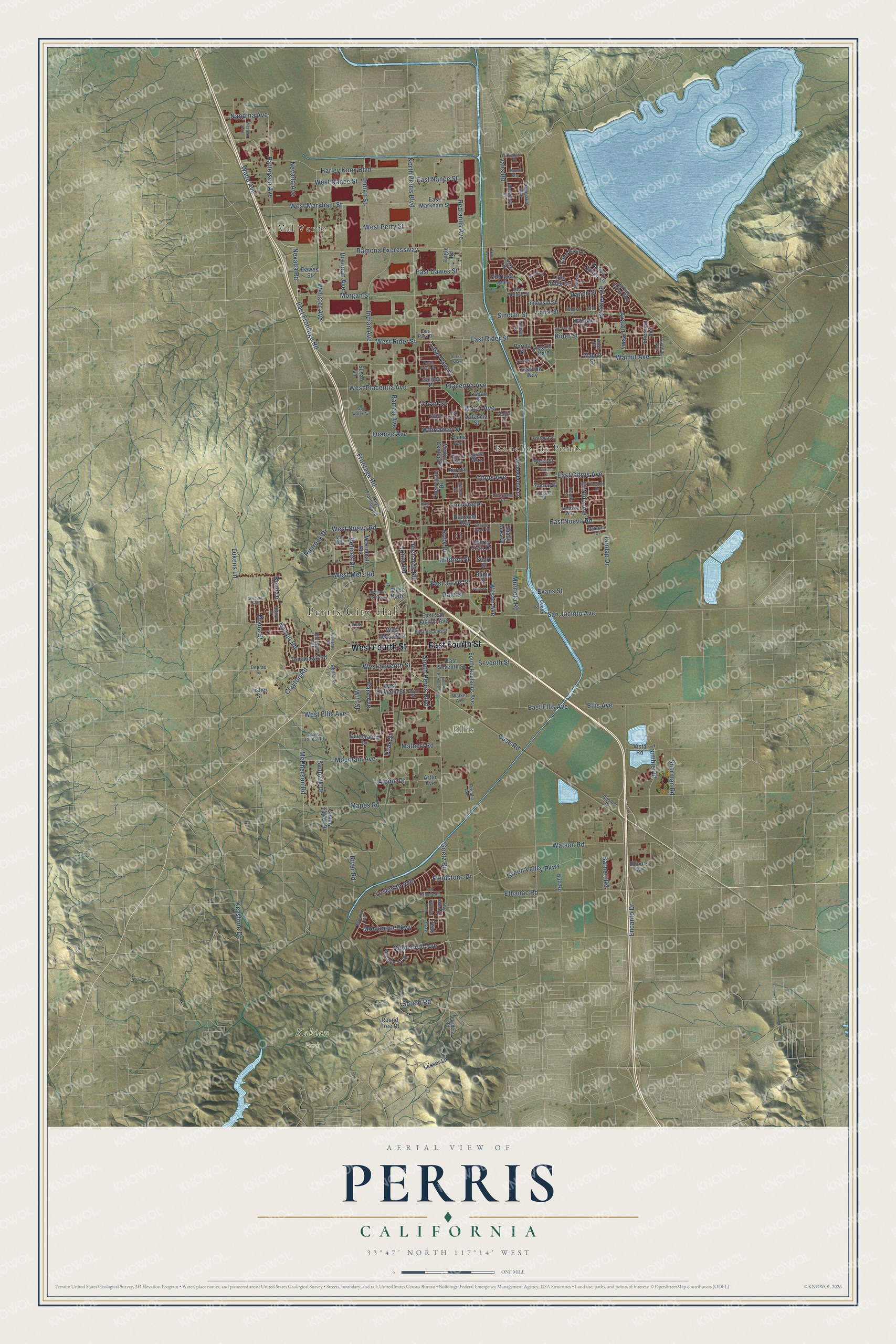
Explore Perris, California from a whole new perspective. Created using aerial imagery and detailed geographic data, this map captures Perris building by building, with labeled streets, familiar landmarks, and shaded topographical relief that highlights the natural contours of the landscape.
Combining modern data with the timeless character of a vintage atlas, this map is just as interesting up close as it is beautiful on the wall. Whether you grew up in Perris, spent memorable years there, or call it home today, this unique map is a great way to celebrate a place that means something to you. Zoom in on the preview to look for your street, and then order a print to put your memories on the wall.
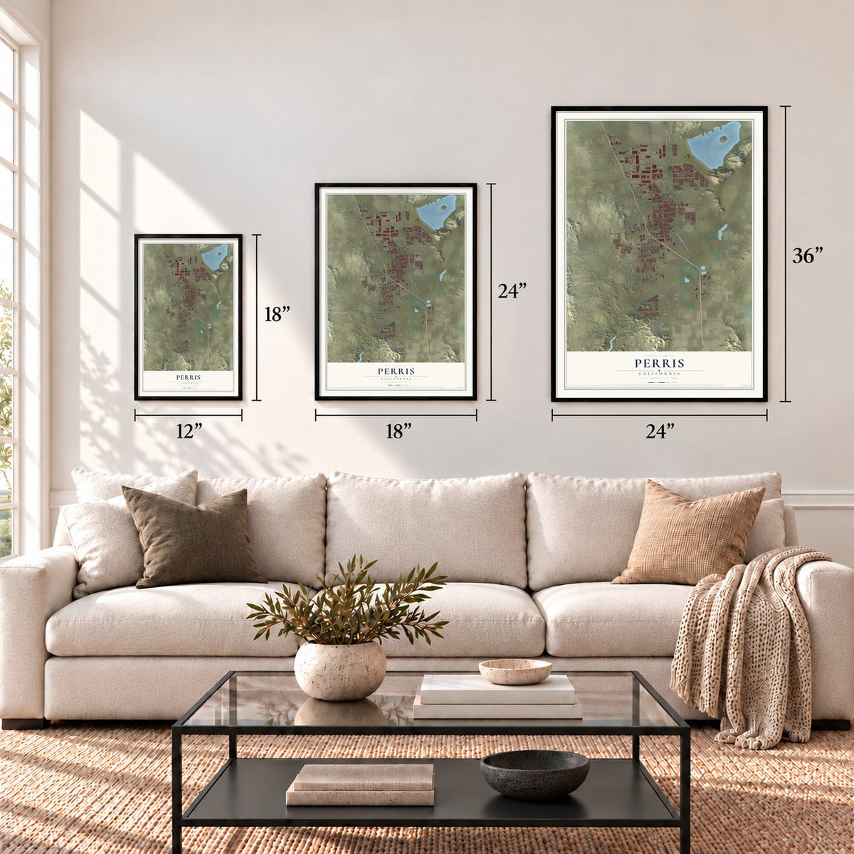
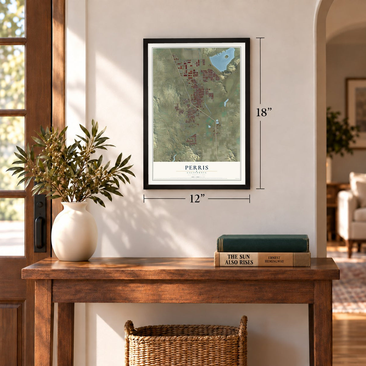
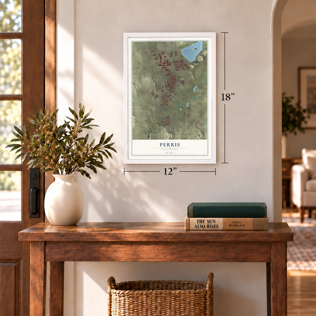
Three ways to hang it
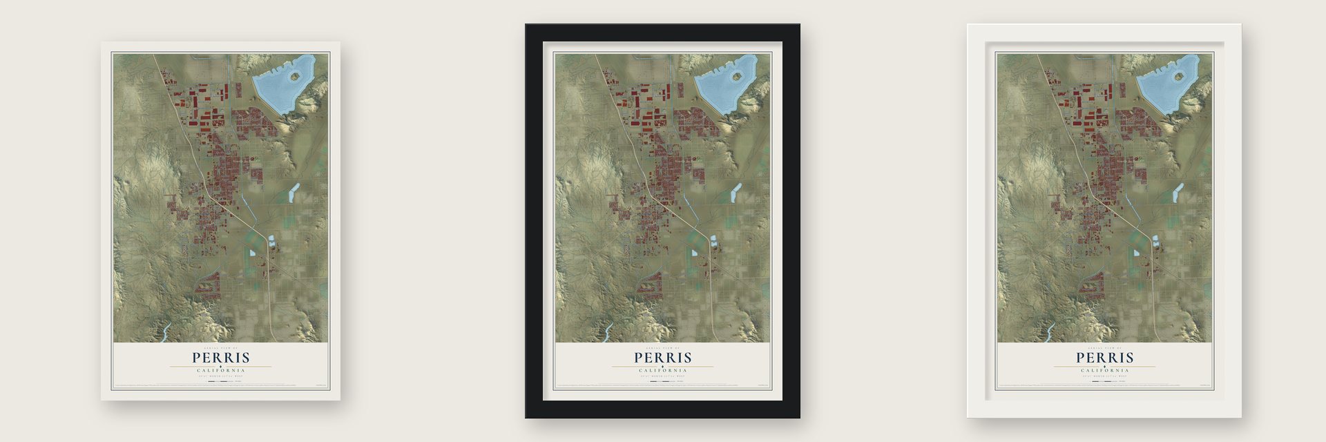
Unframed archival matte, a black wood frame or a white wood frame.
Up close
Geography Worth Displaying
This map was created using accurate cartographic data and authoritative geographic sources, including the U.S. Geological Survey and the Census Bureau. The map brings together terrain, waterways, roads, and building detail. The majority of the streets are labeled, houses are accurately depicted, and the topography is derived from government sources. Combining local data with carefully composed color and shading leads to this beautifully detailed Perris artwork for your wall.
Rather than simply showing street outlines, we’ve included as many of the street names as we could reasonably fit on the map while keeping their names legible. Zoom in on the high resolution preview to see exactly what’s on the map. We truly set out to create a statement piece for anyone who loves Perris. So whether it’s for you, or a gift for someone you love, we hope this map of Perris brings back fond memories.
Read the story behind this map of Perris, California from 2026.
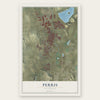
Find your street
Names on the Perris map
Every name below is printed on this map. Look for your street, your school, the park where you played, or the pond down the road.
Places and landmarks5
- Perris City Hall
- Rancho las Perris
- Ellis
- Kabian Park
- Val Verde
Streets and roads209
- East Fourth Street
- West Fourth Street
- Patterson Avenue
- Goldenrod Avenue
- Nevada Road
- East Frontage Road
- Indian Street
- West Placentia Avenue
- North Perris Boulevard
- Redlands Avenue
- Evans Road
- Ramona Expressway
- Murrieta Road
- Case Road
- Goetz Road
- Wilson Avenue
- Green Valley Parkway
- Orange Avenue
- Ethanac Road
- Mapes Road
- McPherson Road
- East Nuevo Road
- Dunlap Drive
- Indian Avenue
- Trumble Road
- Frontage Road
- Harley Knox Boulevard
- Barrett Avenue
- Citrus Avenue
- East Ellis Avenue
Show all 209 streets
- Sinclair Street
- Morgan Street
- West Markham Street
- Avalon Parkway
- Walnut Avenue
- Placentia Avenue
- East Citrus Avenue
- East Rider Street
- Bradley Road
- Watson Road
- West Metz Road
- Mountain Avenue
- West Seventh Street
- Sherman Road
- West Nance Street
- Rider Street
- San Jacinto Avenue
- West Rider Street
- West Nuevo Road
- Webster Avenue
- Barnett Road
- South Perris Boulevard
- Monument Parkway
- Ellis Avenue
- West Ellis Avenue
- West Perry Street
- Brennan Avenue
- El Nido Avenue
- Delines Drive
- River Road
- Mildred Street
- Park Avenue
- Navajo Road
- Ruby Drive
- Yosemite Avenue
- East Jarvis Street
- Dale Street
- East Dawes Street
- Clayton Road
- Nevada Avenue
- Lukens Lane
- Rimrock Drive
- Encanto Drive
- Seventh Street
- Alpine Drive
- Lake View Drive
- Fieldstone Drive
- Sotelo Road
- Bond Drive
- East Nance Street
- Wade Avenue
- Evans Street
- Water Avenue
- Sunpark Drive
- Keystone Drive
- Diana Street
- Ranch Street
- Nandina Avenue
- Richards Road
- Malbert Road
- Whirlaway Street
- Chant Street
- Johns Road
- Teak Street
- Witt Street
- Lilac Ridge Drive
- Perla Street
- East San Jacinto Avenue
- South Redlands Avenue
- West Eleventh Street
- Willowbrook Lane
- East Markham Street
- East Seventh Street
- Marigold Drive
- Turquoise Drive
- Hull Road
- Medical Center Drive
- McKimball Road
- Lesser Lane
- Jimmy Taylor Drive
- Vista Road
- Cane Bay Lane
- Tomahawk Road
- Sherman Avenue
- Susan Lane
- Walnut Street
- West Second Street
- Sparrow Way
- Diamond Way
- Limousin Street
- Celebration Lane
- Palma Bonita Lane
- Cherrytree Drive
- Yorba Street
- Flame Avenue
- Dawes Street
- Artlo Avenue
- Valencia Street
- Aurora Drive
- Gloriosa Avenue
- Lisbon Street
- Corral Street
- Parula Street
- Round Tree Court
- Illinois Avenue
- Shady Oaks Drive
- Cherry Vista Drive
- Kestrel Gate
- Bahia Street
- Galileo Place
- Fisher Street
- Cll de Norte
- Eagle Road
- Lassa Way
- Shark Street
- Peak Trail
- Alabaster Loop
- East Morgan Street
- West Frontage Road
- Barbury Palms Way
- Altura Drive
- Cherokee Road
- East Second Street
- Center Street
- Almaterra Drive
- Candelaria Way
- Addison Way
- Walker Avenue
- La Ladera Road
- Hazel Drive
- Fortuna Street
- David Jones Road
- Rosalia Avenue
- Perou Street
- Palermo Drive
- Cayenne Way
- Crevice Way
- Bellamo Lane
- Regala Street
- Bonnie Drive
- Bus Park Drive
- Flicker Way
- Van Way
- Galway Lane
- Deprad Street
- Abelia Lane
- Worth Street
- Hart Lane
- Kalei Court
- Western Way
- Arapahoe Road
- Weston Road
- South Ramona Drive
- Monolith Trail
- Punta Prieta Drive
- Highland Vista Way
- Mirada Drive
- Pyramid Trail
- Curlew Street
- Segovia Drive
- West Water Avenue
- Muir Woods Road
- Clearwater Drive
- Orange Creek Road
- Miramar Street
- Iris Trail
- Cheshire Drive
- Nicolina Street
- Reyana Way
- Stallion Street
- Viscano Court
- Genaro Drive
- Feliz Street
- Russel Way
- Pink Star Street
- Akina Avenue
- Waltz Road
- Wind Street
- Lion Court
Names are listed as they appear on the printed map. Zoom into the product photos to find them.
About Perris, California
Perris is a city of 78,700 people in Riverside County. Native Americans lived in the surrounding hills, and gold turned up after Spanish and Mexican miners came into the area. When a dispute over land titles unsettled the nearby settlement of Pinacate, most of its people packed up and moved two miles north along the California Southern Railroad, where they founded Perris in 1885.
The new town took its name from Fred T. Perris of San Bernardino, the railroad's chief engineer. Perris started out in San Diego County, but in 1892 it became part of the newly created Riverside County. The town was incorporated as a city in 1911.
- A town built around a depotPerris grew up around the new depot on the California Southern line, which linked the places now called Barstow and San Diego. The Perris Depot was recorded by the Library of Congress in its Historic American Buildings Survey, and it joined the National Register in 1994. In June 2016, Metrolink stretched its 91/Perris Valley Line from Riverside to Perris, putting the city back on a passenger line to downtown Los Angeles.
- Perris High since 1887Perris High School, the city's first public high school, opened in 1887. It moved to a new site in 1961, and in 1993 its western annex, near Nuevo Road and I-215, was turned into a continuation school. Danny Harris grew up in Perris and graduated from the school. He went on to win a silver medal in the hurdles at the 1984 Los Angeles Olympics.
- Skydiving capital of AmericaSkydivers, both amateurs and professionals, have come in large numbers to Perris Valley Skydiving at the privately owned Perris Valley Airport, which has a 5,100-foot runway. The crowds earned Perris its nickname, "the skydiving capital of America."
- Trains, a fair and Farmer BoysPerris is home to the Southern California Railway Museum, the biggest museum of its type still running on the West Coast. Since 1987 the Lake Perris Fairgrounds have hosted the Southern California Fair. The Farmer Boys restaurant chain, now found across the Inland Empire, began in Perris in 1981.
- National Archives since 2005The National Archives at Riverside, run by the National Archives and Records Administration, opened in Perris in 2005. It holds federal records for the Pacific Region, which covers Arizona, southern California and Clark County, Nevada.
Keep exploring California
Perris is one of 1,990 California towns we've mapped. Every dot on the map is a print of its own.
The search covers every state, California first.
Near Perris
Order 2 or more town maps and save 10%. Shown in the size and finish you picked above, so they hang as a set.
- Good Hope 12" x 18" / Archival Matte Print $39.99
- Romoland 12" x 18" / Archival Matte Print $39.99
- Mead Valley 12" x 18" / Archival Matte Print $39.99
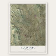
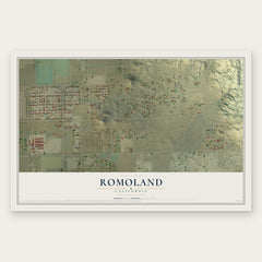
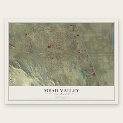
More maps nearby: Nuevo, Meadowbrook, Lakeview, Homeland and Menifee.
The art of mapping a place
How This Map Was Made
Real places. Remarkable detail. Discover the layers that turn geographic data into a map of home.

The view from above
Aerial imagery reveals the character of the land: woodland, open fields, and the patterns of a place.

The shape of the land
Elevation data brings hills, valleys, and subtle changes in the landscape into view.

The details of home
Roads, waterways, and building footprints come together to make the map feel unmistakably local.

Geography becomes art
Considered color, shading, and typography bring the layers together in a map made for your wall.


Process illustrated with Mendon, Massachusetts. Aerial imagery: USDA NAIP. Terrain: USGS 3D Elevation Program. Map details and finished artwork: KNOWOL.
The Details
About This Print
Choose an archival matte print, or a black or white Ayous wood frame. The archival matte print is unframed.
Select your size and finish above to see the matching product image and price.
Materials & Craftsmanship
A contemporary map with the character of a classic atlas, printed on archival matte paper. Optional frames are made from Ayous wood.
Your printed map does not include the watermark shown in the full-map preview.
Shipping & Delivery
Free shipping within the United States. Every print is made to order in the USA.
Buying a gift? Add a note in your cart and we'll include it. We never put prices in the package.
Prints ship within 2 to 3 business days. Allow 7 to 10 days total from ordering for delivery. Timing may vary during holidays or periods of high order volume.
Read our shipping policy.
Returns and damaged prints
Each print is made to order. Change-of-mind refunds are not available after production.
If your print arrives damaged, misprinted or incorrect, contact support@knowol.com within 30 days of receiving it. Include your order number, photos and a description of the issue.
Read our full refund and replacement policy. For questions about your order, email support@knowol.com.