
Search for another town





Free U.S. delivery 7 to 10 days after you order
Perry, Florida Map Art
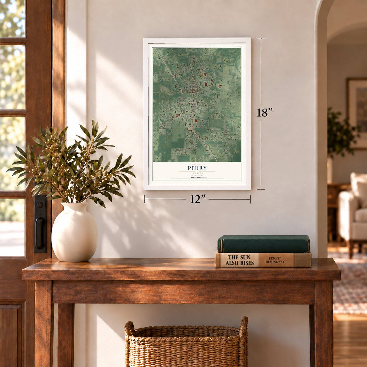
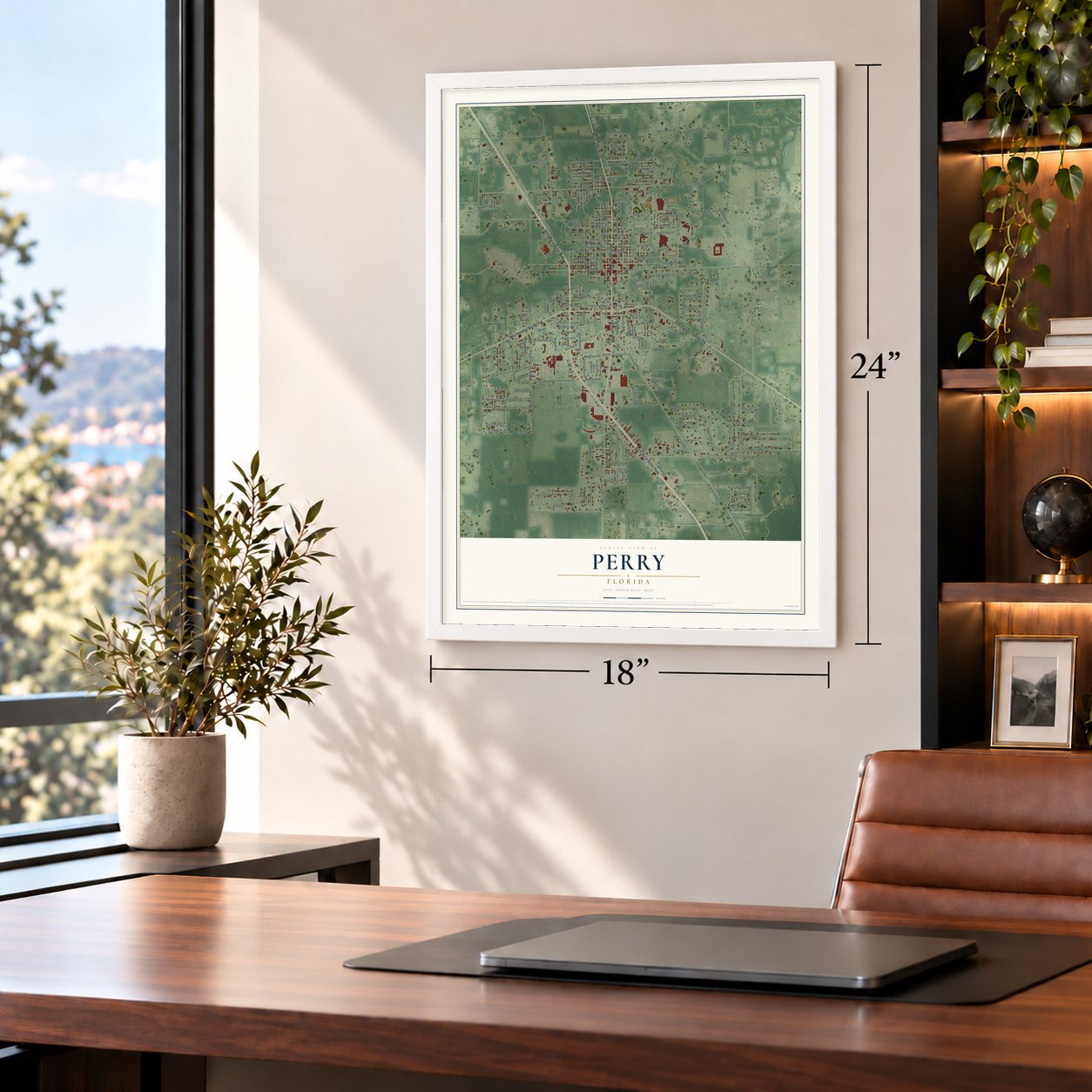
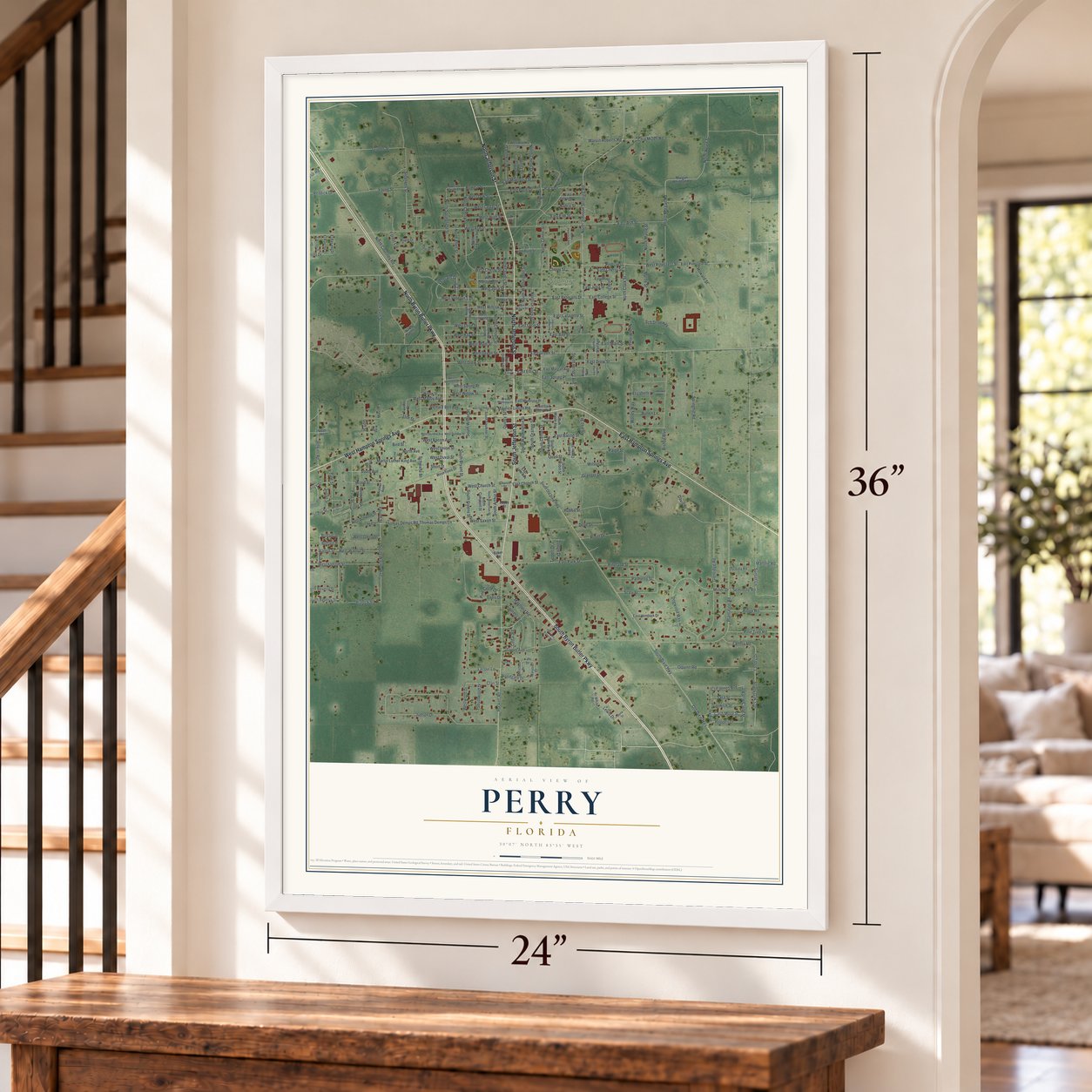
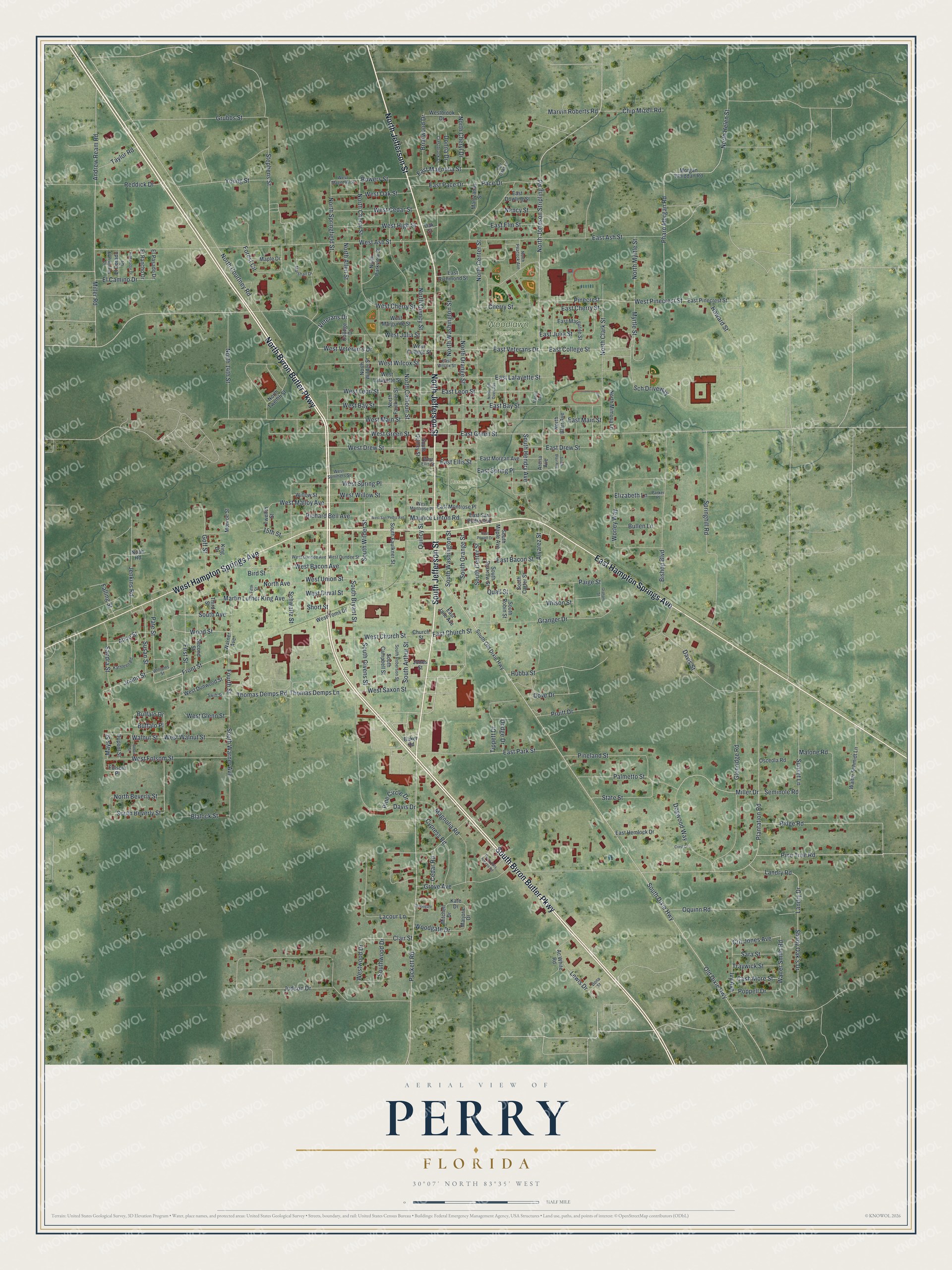
A new map of Perry, Florida, made in 2026 and printed to order on thick archival matte paper.
12" x 18" Archival Matte Print
A Map of Home. A Work of Art.
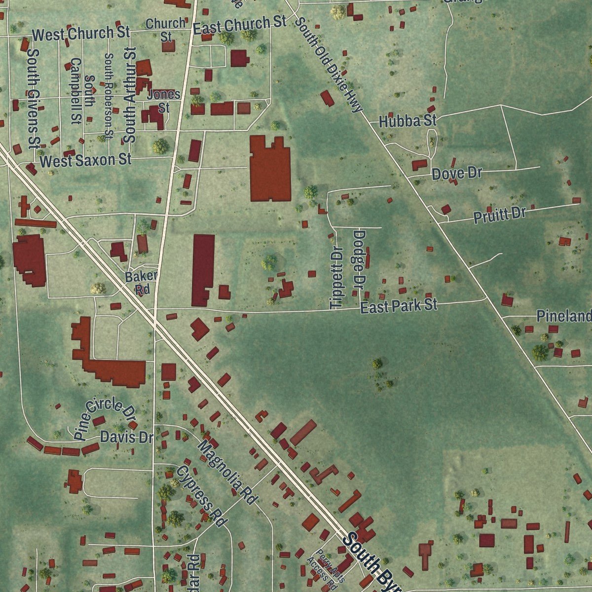
Explore Perry, Florida from a whole new perspective. Created using aerial imagery and detailed geographic data, this map captures Perry building by building, with labeled streets, familiar landmarks, and shaded topographical relief that highlights the natural contours of the landscape.
Combining modern data with the timeless character of a vintage atlas, this map is just as interesting up close as it is beautiful on the wall. Whether you grew up in Perry, spent memorable years there, or call it home today, this unique map is a great way to celebrate a place that means something to you. Zoom in on the preview to look for your street, and then order a print to put your memories on the wall.
Three ways to hang it
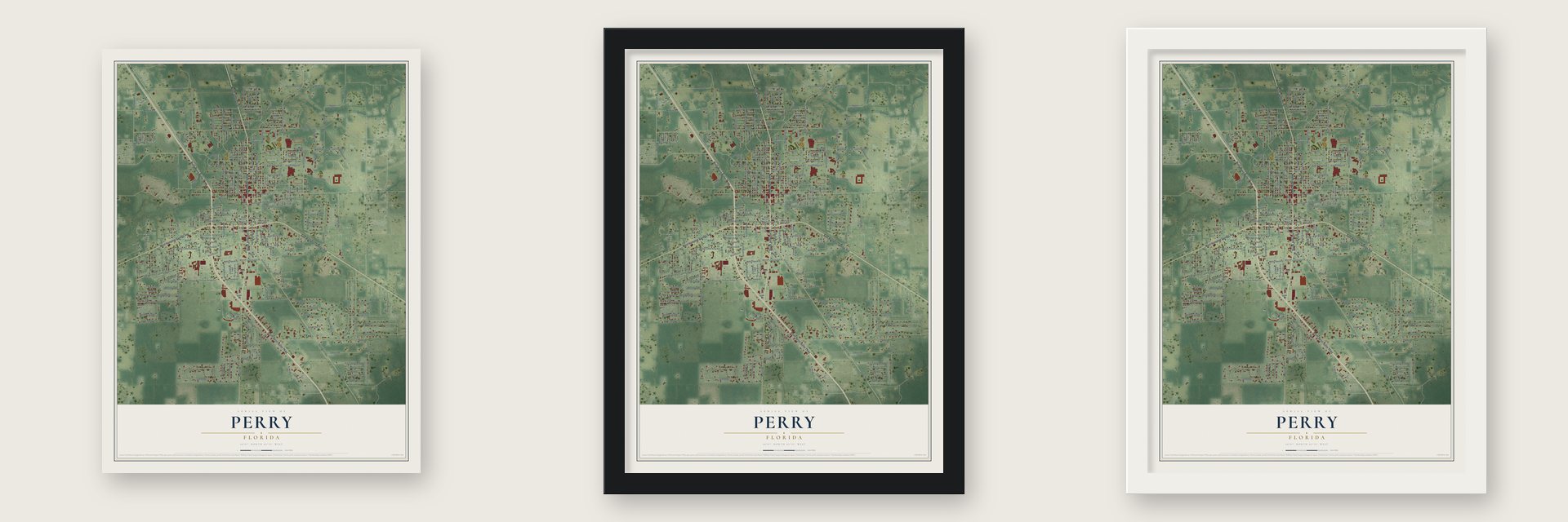
Unframed archival matte, a black wood frame or a white wood frame.
Up close
Geography Worth Displaying
This map was created using accurate cartographic data and authoritative geographic sources, including the U.S. Geological Survey (USGS) and FEMA. The map brings together terrain, waterways, roads, and building detail. The majority of the streets are labeled, houses are accurately depicted, and the topography is derived from government sources. Combining local data with carefully composed color and shading leads to this beautifully detailed Perry artwork for your wall.
Rather than simply showing street outlines, we’ve included as many of the street names as we could reasonably fit on the map while keeping their names legible. Zoom in on the high resolution preview to see exactly what’s on the map. We truly set out to create a statement piece for anyone who loves Perry. So whether it’s for you, or a gift for someone you love, we hope this map of Perry brings back fond memories.
Explore the full map of Perry, Florida and read about the local places it shows.

About Perry, Florida
Perry is a city of 6,898 people and the county seat of Taylor County, in Florida's Big Bend about 50 miles southeast of Tallahassee. It takes its name from Madison Starke Perry, the fourth governor of Florida, who also served as a Confederate colonel in the Civil War. The county around it was formed in 1856 and named for President Zachary Taylor.
In 1965 Governor W. Haydon Burns gave Taylor County a title it still carries, the Tree Capital of the South. A mile south of town, the Forest Capital Museum State Park tells the story of the timber trade and the animals of the woods, beside a Cracker homestead built in 1864. Every October the park holds the Florida Forest Festival, a tradition now more than 50 years old.
- Dixie's Famous SpaFour miles from Perry stood the Hampton Springs Hotel, which drew crowds in the early 1900s, when several railroads met in Taylor County and the area boomed. Guests, Theodore Roosevelt among them, swam in a pool filled by a sulphur spring. The hotel burned in 1954, and its ruins, with the pool, the paths and a goldfish pond, now lie within a county park.
- The Perry Massacre of 1922Perry had fewer than 2,000 people in 1922 when a white schoolteacher was murdered. On December 14 and 15, white mobs hanged Charles Wright, then shot and hanged two more Black men the next day. They went on to burn the Black community's school, Masonic lodge, church and amusement hall, along with several family homes.
- Claude Pepper's first practiceAfter finishing Harvard Law School, Claude Pepper came to Perry and opened a law practice here. He went on to serve Florida in Washington as both a U.S. senator and a congressman.
- State champions in 1998The Taylor County High School Bulldogs reached the Class 3A state final for the 1977 to 1978 season and lost to Bartow, 7 to 0. Twenty years later they took the Class 3A state title for the 1997 to 1998 season, and in 2010 they went 10 and 0 and won the district championship.
Find your street
Names on the Perry map
Every name below is printed on this map. Look for your street, your school, the park where you played, or the pond down the road.
Places and landmarks2
- Woodlawn Cemetery
- Rosehead Park
Streets and roads270
- South Byron Butler Parkway
- North Byron Butler Parkway
- South Jefferson Street
- North Jefferson Street
- East Hampton Springs Avenue
- West Hampton Springs Avenue
- West Union Street
- First Street
- Wood Street
- North Johnson Stripling Road
- Front Street
- Puckett Road
- East College Street
- East Veterans Drive
- Maurice Linton Road
- Sch Driveway
- Miller Road
- West Pinecrest Street
- West Main Street
- South Bryant Street
- Veterans Drive
- North Avenue
- West Julia Street
- West Willow Street
- South Beverly Street
- Quincy Street
- East Church Street
- East Green Street
- South Center Street
- West Green Street
Show all 270 streets
- North Cherry Street
- East Leon Street
- Pinecrest
- Walter Smith Road
- Crit Jones Avenue
- West Bacon Avenue
- Miller Drive
- West Veteran's Drive
- Pate Street
- Andrew Ream Road
- Bowers Street
- Old Dixie Highway
- South Dixie Highway
- Plantation Road
- Judson Drive
- West Ash Street
- North Center Street
- North Courtney Road
- Pharo Morgan Road
- South Warner Avenue
- North Calhoun Street
- North Helen Street
- East Ash Street
- Springhill Road
- North Washington Street
- Shady Oak's Drive
- East Bay Street
- East Main Street
- Worley Way
- Bishop Boulevard
- Dogwood Way
- South Washington Street
- North Quincy Street
- North Clark Street
- Buffalo Place
- Grubbs Street
- East Lafayette Street
- West Duval Street
- East Park Street
- Schwartz Street
- Granger Drive
- Glenridge Road
- Buffalo Drive
- Fourth Street
- South Orange Street
- Malone Road
- Thomas Demps Lane
- Thomas Demps Road
- East Elm Street
- West Folsom Street
- Quail Street
- East Julia Street
- West Wilcox Street
- Davis Street
- Stephens Street
- West Leon Street
- Lacour Lane
- West Spring Place
- Landry Drive
- East Drew Street
- West Drew Street
- Magnolia Road
- West Bay Street
- North 14th Street
- Oquinn Road
- Pineland Street
- West Malloy Avenue
- Palmetto Street
- North Orange Street
- South Hendry Avenue
- Pine Tree Road
- North Springfield Street
- Young Street
- Ridge Road
- Martin Luther King Avenue
- Jenkins Road
- Sandra Street
- West High Street
- Cypress Road
- West Cedar Street
- Lewis Drive
- East Spring Place
- Alvarez Street
- South Wilder Street
- West Oak Street
- West Cherry Street
- Tippett Drive
- Landry Road
- West Church Street
- State Street
- Goff Street
- East Cherry Street
- Richard Bell Avenue
- 15th Street
- Myrtle Street
- Susan Street
- West Saxon Street
- Wilson Street
- East Pace Drive
- Reddick Drive
- North Myrtle Street
- West Walnut Street
- Grove Avenue
- Chip Mizell Road
- Cedar Road
- Sunset Lane
- Pace Drive
- Paige Street
- Southwood Drive
- East Bacon Street
- Cherry Street
- Pruitt Drive
- El Camino Drive
- Briarwood Drive
- North Cheryl Drive
- Dove Drive
- East Magnolia Street
- Marvin Roberts Road
- North Allen Street
- South Arthur Street
- South Givens Street
- North Beverly Street
- Forest Circle
- Clair Street
- Blalock Street
- Elizabeth Lane
- Woodgate Drive
- Ivy Avenue
- Traywick Street
- Cash More Street
- Sara Street
- Bullen Lane
- Alice Street
- Taylor Road
- West Glenn Street
- Poppell Drive
- South Avenue
- Nancy Street
- Joann Street
- Pine Circle Drive
- Westwood Drive
- East Ellis Street
- Seminole Road
- Falling Street
- Donna Drive
- Howard Street
- Dodge Drive
- Bird Street
- Walnut Street
- Hubba Street
- Davis Drive
- Mays Street
- Short Street
- Warner Avenue
- Church Street
- Marjorie Drive
- East Pinecrest Street
- South Quincy Street
- Kate Drive
- South Faulkner Street
- Morgan Whiddan Road
- North Faulkner Street
- North Wilder Street
- College Drive
- West College Street
- East Margurite Street
- East San Pedro Avenue
- West Lafayette Street
- North Twelfth Street
- Second Street
- South Robin Street
- Mantzanas Street
- South Sparrow Street
- West Toms Drive
- West Margurite Street
- North Mimosa Lane
- South Campbell Street
- South Old Dixie Highway
- West Dunwood Street
- North Parkview Street
- East Morgan Avenue
- Walter Schmidt Lane
- Monroe Street
- East Richmond Street
- East Montrose Place
- King Drive
- East Hemlock Drive
- Jones Street
- South Maple Avenue
- Westbrook Drive
- Third Street
- Arena Avenue
- South Carter Street
- Willow Street
- East Dowling Street
- Twelfth Street
- Maple Drive
- El Rancho Drive
- El Pasado Drive
- El Dorado Drive
- Ac White Road
- East Jane Avenue
- North Blair Avenue
- Osceola Road
- Mitchell Drive
- Dupont Street
- Folsom Place
- Noah Road
- Baker Road
- Oak Street
- West Montrose Place
- West Dundee Street
- West Ellis Street
- West Magnolia Street
- North Peacock Avenue
- Marshall Drive
- South Roberson Street
- Parker Place
- Kathleen Road
- West Dundee Avenue
- Fair Oaks Lane
- East Wilcox Street
- Williams Street
- Crestbrook Drive
- West Summers Street
- El Primeros Drive
- Swift Street
- Dona Street
- Fifth Street
- Perry Apts Access Road
- West San Pedro Avenue
- Graham Street
- North Jeff Davis Avenue
- Woodgate
- South Blair Avenue
- El Matador Drive
- Belair Street
- East Powell Drive
- Crest Drive
- Manilla Avenue
Names are listed as they appear on the printed map. Zoom into the product photos to find them.
The art of mapping a place
How This Map Was Made
Real places. Remarkable detail. Discover the layers that turn geographic data into a map of home.

The view from above
Aerial imagery reveals the character of the land: woodland, open fields, and the patterns of a place.

The shape of the land
Elevation data brings hills, valleys, and subtle changes in the landscape into view.

The details of home
Roads, waterways, and building footprints come together to make the map feel unmistakably local.

Geography becomes art
Considered color, shading, and typography bring the layers together in a map made for your wall.


Process illustrated with Mendon, Massachusetts. Aerial imagery: USDA NAIP. Terrain: USGS 3D Elevation Program. Map details and finished artwork: KNOWOL.
The Details
About This Print
Choose an archival matte print, or a black or white Ayous wood frame. The archival matte print is unframed.
Select your size and finish above to see the matching product image and price.
Materials & Craftsmanship
A contemporary map with the character of a classic atlas, printed on archival matte paper. Optional frames are made from Ayous wood.
Your printed map does not include the watermark shown in the full-map preview.
Shipping & Delivery
Free shipping within the United States. Every print is made to order in the USA.
Buying a gift? Add a note in your cart and we'll include it. We never put prices in the package.
Prints ship within 2 to 3 business days. Allow 7 to 10 days total from ordering for delivery. Timing may vary during holidays or periods of high order volume.
Read our shipping policy.
Returns and damaged prints
Each print is made to order. Change-of-mind refunds are not available after production.
If your print arrives damaged, misprinted or incorrect, contact support@knowol.com within 30 days of receiving it. Include your order number, photos and a description of the issue.
Read our full refund and replacement policy. For questions about your order, email support@knowol.com.
Find your town
Looking for another city?
Find a map of home in our Florida collection, or any town in the country.
Nearby
Maps of towns near Perry
Know someone from one of these towns? Their map makes a great gift.
 Day
Day, Florida
From $39.99See the map
 Lamont
, Florida
From $39.99See the map
 Mayo
Mayo, Florida
From $39.99See the map
More maps nearby: Greenville, Lee, Madison, Aucilla and Wacissa.