
Search for another town




Free U.S. delivery 7 to 10 days after you order
Philadelphia, Mississippi Map Art
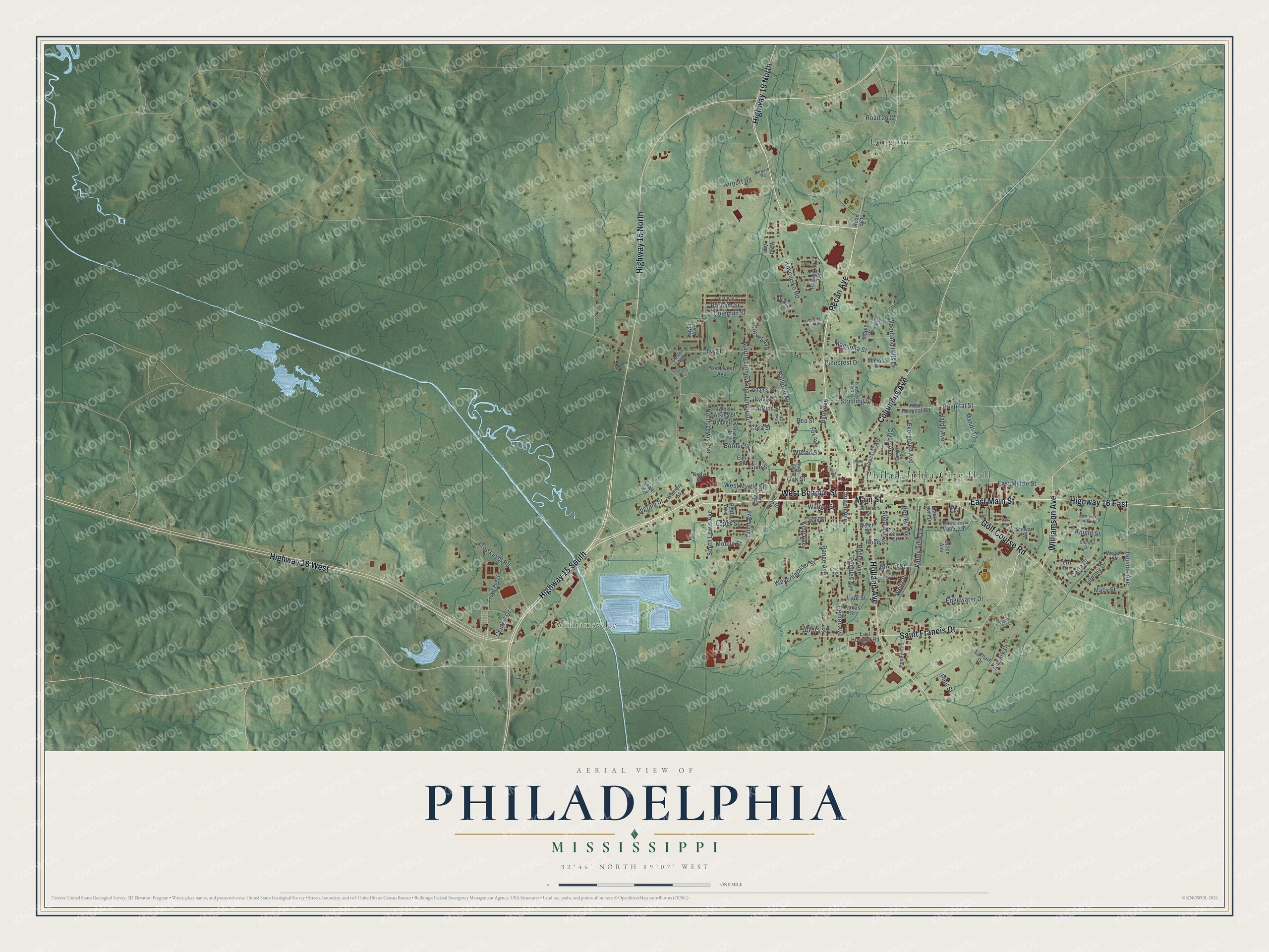
A new map of Philadelphia, Mississippi, made in 2026 and printed to order on thick archival matte paper.
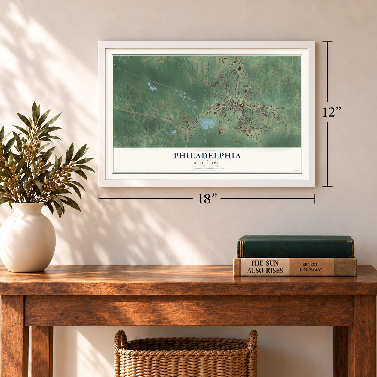
12" x 18" Archival Matte Print
A Map of Home. A Work of Art.
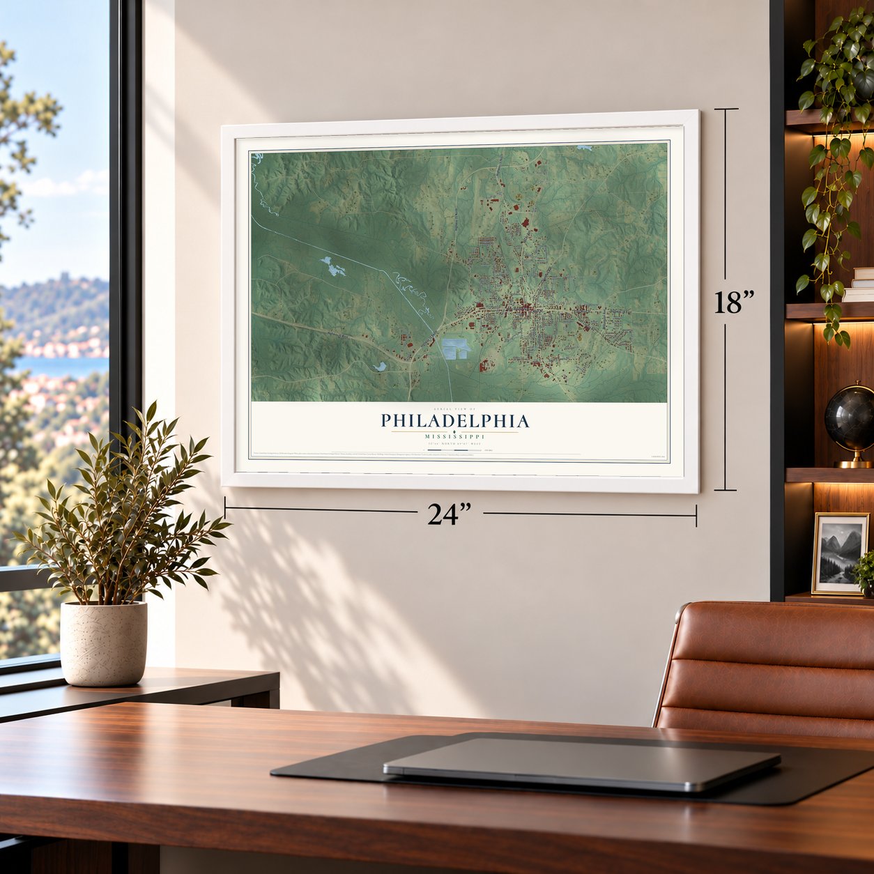
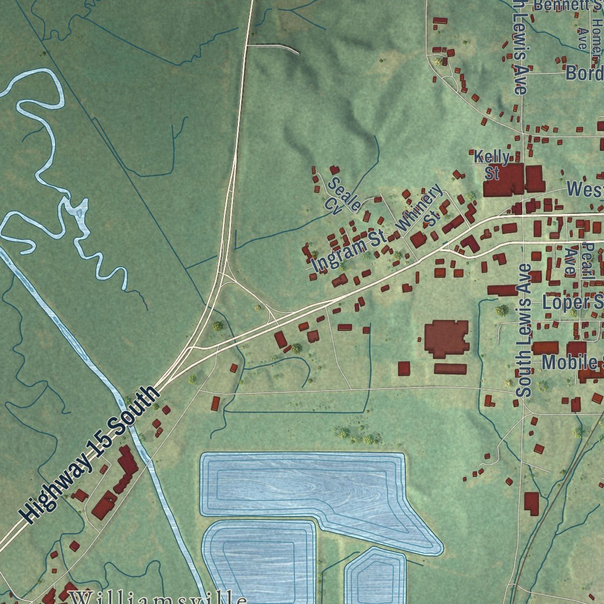
Explore Philadelphia, Mississippi from a whole new perspective. Created using aerial imagery and detailed geographic data, this map captures Philadelphia building by building, with labeled streets, familiar landmarks, and shaded topographical relief that highlights the natural contours of the landscape.
Combining modern data with the timeless character of a vintage atlas, this map is just as interesting up close as it is beautiful on the wall. Whether you grew up in Philadelphia, spent memorable years there, or call it home today, this unique map is a great way to celebrate a place that means something to you. Zoom in on the preview to look for your street, and then order a print to put your memories on the wall.
Three ways to hang it
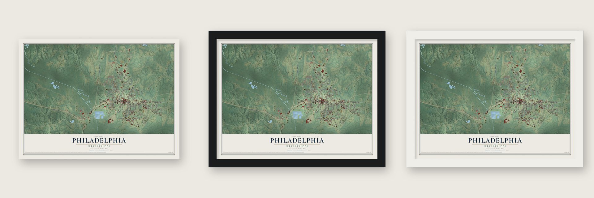
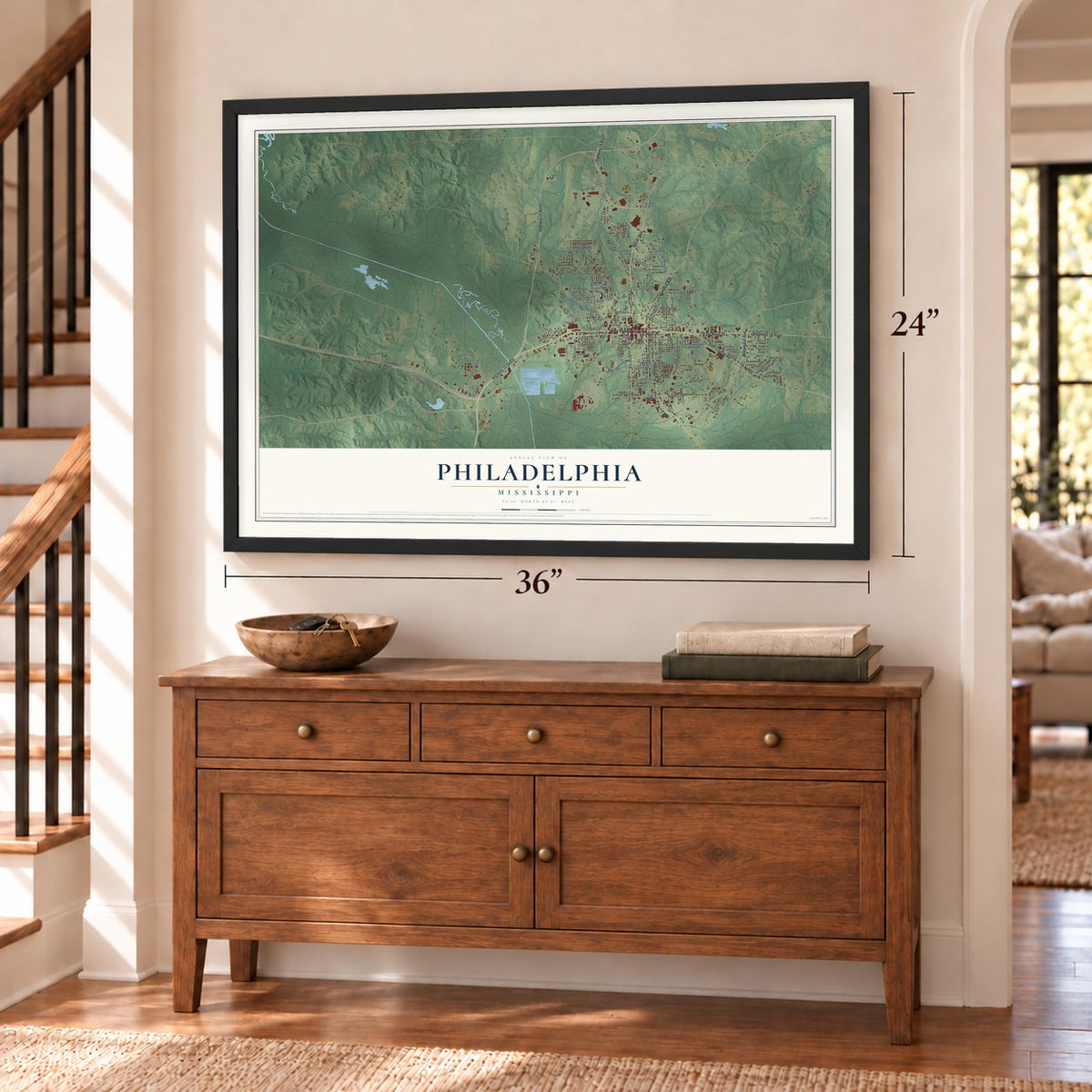
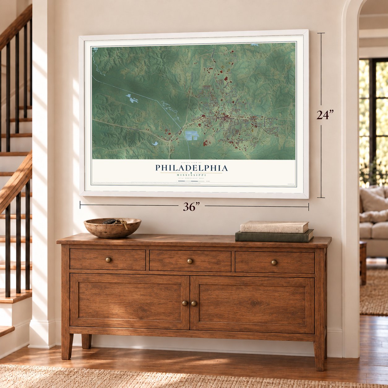
Unframed archival matte, a black wood frame or a white wood frame.
Up close
Geography Worth Displaying
This map was created using accurate cartographic data and authoritative geographic sources, including the U.S. Geological Survey and the Census Bureau. The map brings together terrain, waterways, roads, and building detail. The majority of the streets are labeled, houses are accurately depicted, and the topography is derived from government sources. Combining local data with carefully composed color and shading leads to this beautifully detailed Philadelphia artwork for your wall.
Rather than simply showing street outlines, we’ve included as many of the street names as we could reasonably fit on the map while keeping their names legible. Zoom in on the high resolution preview to see exactly what’s on the map. We truly set out to create a statement piece for anyone who loves Philadelphia. So whether it’s for you, or a gift for someone you love, we hope this map of Philadelphia brings back fond memories.
Read the story behind this map of Philadelphia, Mississippi from 2026.

About Philadelphia, Mississippi
Philadelphia is a city of 7,118 people and the county seat of Neshoba County, in east-central Mississippi. An early county history counted just 55 residents here in 1900. The town took its present name in 1903, honoring Philadelphia, Pennsylvania, and two years later the railroad arrived and brought new business with it.
Charles Evers organized the Philadelphia chapter of the NAACP in 1956. In June 1964 three civil rights workers, James Chaney of Meridian and Andrew Goodman and Michael Schwerner of New York, disappeared while looking into the burning of Mount Zion Methodist Church outside town. Klan members, among them Neshoba County deputy sheriff Cecil Price, had released them from jail, killed them and buried them in an earthen dam, where an FBI search later found them. National anger over the killings helped win passage of the 1964 Civil Rights Act and the 1965 Voting Rights Act, and in 2005 Edgar Ray Killen was convicted of manslaughter.
“Philadelphia will always be connected to what happened here in 1964, but the fact that Philadelphia, Mississippi, with its notorious past, could elect a black man as mayor, it might be time to quit picking on Philadelphia, Mississippi.”
- Williams Brothers Store, 1907Williams Brothers Store opened in 1907 as an old-fashioned general store, and it is still in business. In 1937 National Geographic featured the store, which sold everything from horse collars to straw hats.
- A new mayor in 2009In May 2009 voters chose James A. Young, a Pentecostal preacher and former county supervisor, as the city's first black mayor. He beat Rayburn Waddell, who had held the office for three terms, by 46 votes in the Democratic primary, and no Republican ran against him. Young took office on July 3, 2009, and served until 2025, when he lost the Democratic primary.
- Marcus Dupree's hometownMarcus Dupree starred in football at Philadelphia High School, then went on to the University of Oklahoma and later to the USFL and NFL. The Courting of Marcus Dupree, a 1983 book by Willie Morris, tells how his talent drew scouts to rural Mississippi and helped ease racial divisions. Dupree later built the Mount Nebo Baptist Church in Philadelphia.
- The EF5 tornado of 2011On April 27, 2011, during the Super Outbreak, an EF5 tornado with winds reaching 205 mph tore across the northern part of town. Three people died. It was the first tornado of that strength to hit Mississippi in 45 years, and one of two EF5 storms in the state that day; the other struck Smithville.
Find your street
Names on the Philadelphia map
Every name below is printed on this map. Look for your street, your school, the park where you played, or the pond down the road.
Places and landmarks3
- Philadelphia City Hall
- Williamsville
- Longino
Streets and roads131
- West Beacon Street
- Highway 16 West
- East Main Street
- Main Street
- Highway 19 North
- Pecan Avenue
- Golf Course Road
- Highway 15 South
- Highway 15 North
- Holland Avenue
- Saint Francis Drive
- Columbus Avenue
- Williamson Avenue
- Highway 16 East
- Bounds Avenue
- Walnut Street
- East Myrtle Street
- West Myrtle Street
- Hospital Street
- Martin Luther King Junior Drive
- Range Avenue
- Center Avenue
- Kosciusko Road
- Weyerhaeuser Street
- Valley View Drive
- Ivy Street
- Woodland Hills Drive
- Byrd Avenue
- Gum Street
- South Lewis Avenue
Show all 131 streets
- Blount Street
- Carver Avenue
- Airpark Drive
- Frog Level Road
- Poplar Avenue
- Evergreen Avenue
- Railroad Avenue
- Church Avenue
- North Lewis Avenue
- Rea Street
- State Avenue
- Oak Street
- Edgewater Drive
- Line Street
- Airport Road
- Magnolia Street
- Rose Street
- Stribling Street
- Wilson Street
- Carla Drive
- Road 2612
- King Avenue
- Border Street
- Peebles Avenue
- Tommy Drive
- Front Avenue
- Bay Street
- Hardy Avenue
- Knight Street
- Clyde Avenue
- Pinecrest Drive
- Central Drive
- Cora Street
- Mandy Drive
- Barham Street
- Coleman Street
- Atkins Street
- Henley Avenue
- Davis Street
- Macy Street
- Loper Street
- Ingram Street
- Mobile Street
- Wells Place
- Myers Street
- Pilot Street
- Whinery Street
- Kayla Avenue
- Indian Hospital Road
- Robinhood Circle
- Northwest Avenue
- Crockett Avenue
- Frog Level Lane
- Posey Avenue
- Maple Street
- Welch Street
- Pleasant Valley Drive
- Front Street
- West Atkins Street
- Bennett Street
- East Hospital Road
- Adams Street
- Pearl Avenue
- Terri Drive
- Fox Avenue
- Seale Cv
- East Lawn Drive
- West Avenue
- Carter Avenue
- Mimosa Drive
- Stewart Street
- Grace Avenue
- Megan Street
- Dallas Street
- Earhart Drive
- Elm Street
- Road 561
- Kelly Street
- Eastover Drive
- Water Avenue
- Forest Park Circle
- Jefferson Street
- Northwood Drive
- Austin Street
- Azalea Street
- Lamar Circle
- McKay Avenue
- Samps Drive
- Homer Avenue
- Airpark Road
- Cook Street
- Shirley Drive
- Wells Street
- Dorothy Street
- Pine Street
- Bell Avenue
- Woodbriar Lane
- Ladds Drive
- Lake Front Lane
- Tank Street
- Shady Lane
Names are listed as they appear on the printed map. Zoom into the product photos to find them.
The art of mapping a place
How This Map Was Made
Real places. Remarkable detail. Discover the layers that turn geographic data into a map of home.

The view from above
Aerial imagery reveals the character of the land: woodland, open fields, and the patterns of a place.

The shape of the land
Elevation data brings hills, valleys, and subtle changes in the landscape into view.

The details of home
Roads, waterways, and building footprints come together to make the map feel unmistakably local.

Geography becomes art
Considered color, shading, and typography bring the layers together in a map made for your wall.


Process illustrated with Mendon, Massachusetts. Aerial imagery: USDA NAIP. Terrain: USGS 3D Elevation Program. Map details and finished artwork: KNOWOL.
The Details
About This Print
Choose an archival matte print, or a black or white Ayous wood frame. The archival matte print is unframed.
Select your size and finish above to see the matching product image and price.
Materials & Craftsmanship
A contemporary map with the character of a classic atlas, printed on archival matte paper. Optional frames are made from Ayous wood.
Your printed map does not include the watermark shown in the full-map preview.
Shipping & Delivery
Free shipping within the United States. Every print is made to order in the USA.
Buying a gift? Add a note in your cart and we'll include it. We never put prices in the package.
Prints ship within 2 to 3 business days. Allow 7 to 10 days total from ordering for delivery. Timing may vary during holidays or periods of high order volume.
Read our shipping policy.
Returns and damaged prints
Each print is made to order. Change-of-mind refunds are not available after production.
If your print arrives damaged, misprinted or incorrect, contact support@knowol.com within 30 days of receiving it. Include your order number, photos and a description of the issue.
Read our full refund and replacement policy. For questions about your order, email support@knowol.com.
Find your town
Looking for another city?
Find a map of home in our Mississippi collection, or any town in the country.
Nearby
Maps of towns near Philadelphia
Know someone from one of these towns? Their map makes a great gift.
 Tucker
, Mississippi
From $39.99See the map
 Pearl River
, Mississippi
From $39.99See the map
 Bogue Chitto
, Neshoba County, Mississippi
From $39.99See the map
More maps nearby: Union, Noxapater, Sebastopol, Standing Pine and Conehatta.