
Search for another town
Free U.S. delivery 7 to 10 days after you order
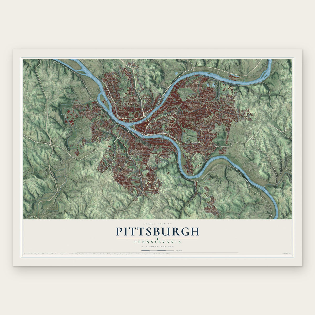
Pittsburgh, Pennsylvania Map Art
Building by building, with labeled streets and shaded relief.
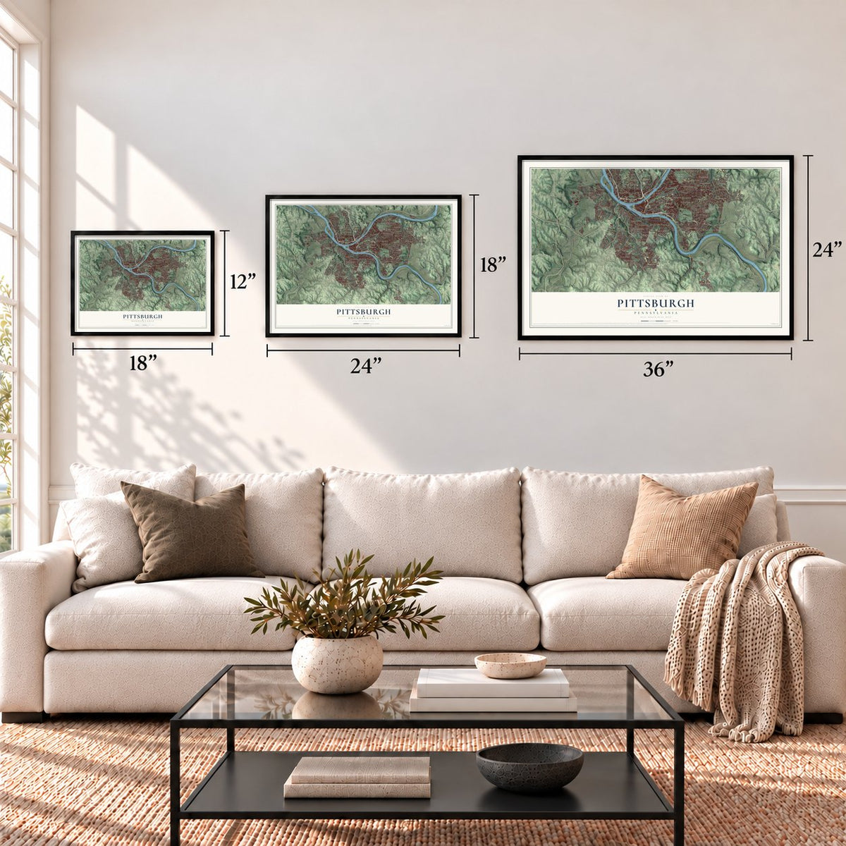
12" x 18" Archival Matte Print
A Map of Home. A Work of Art.
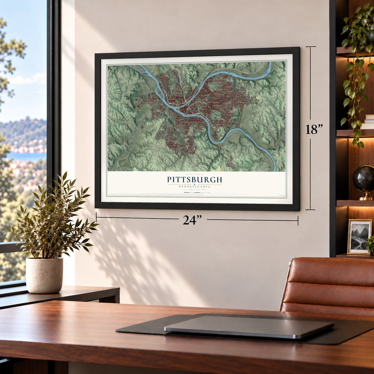
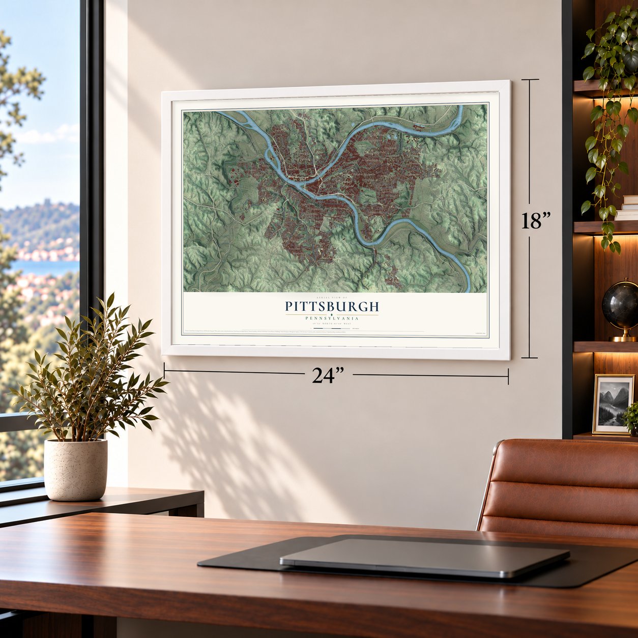
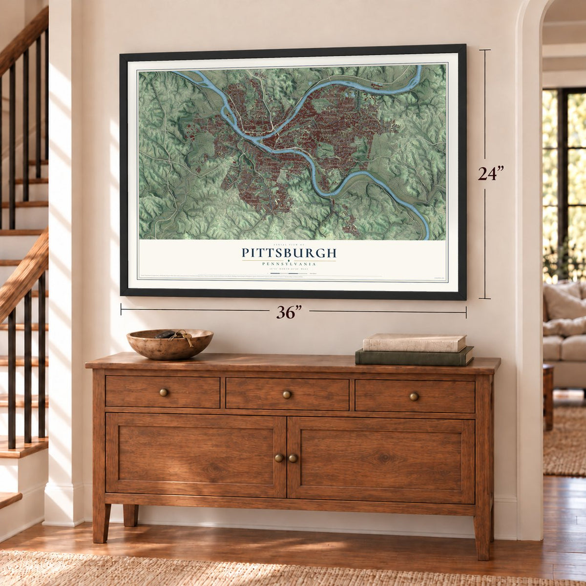
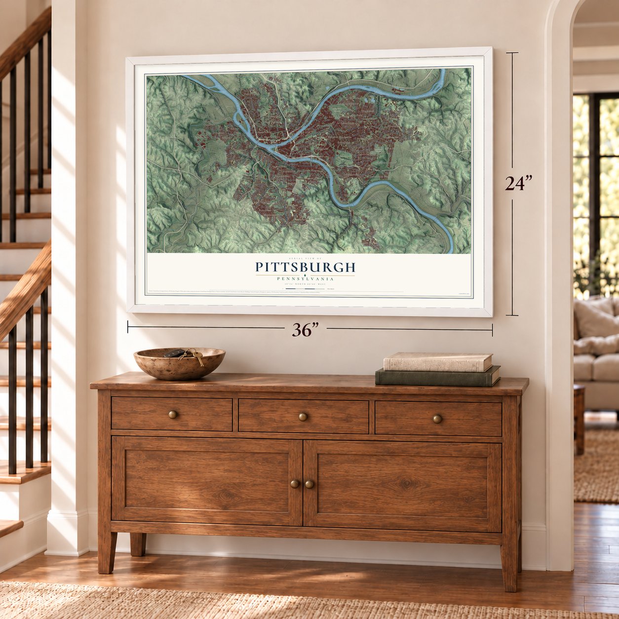
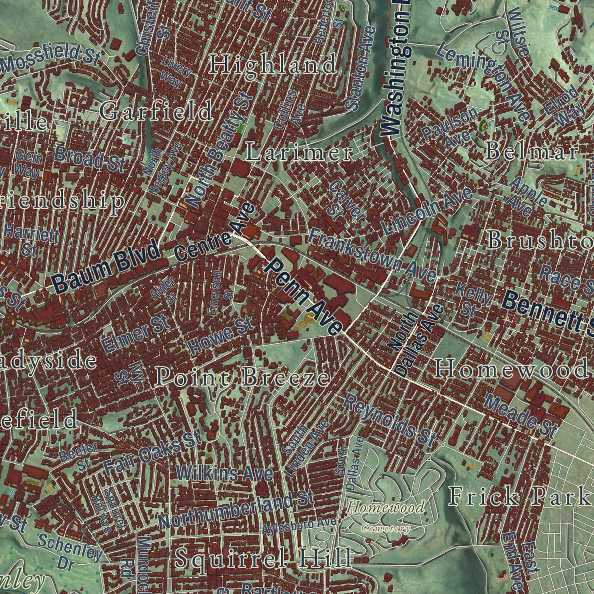
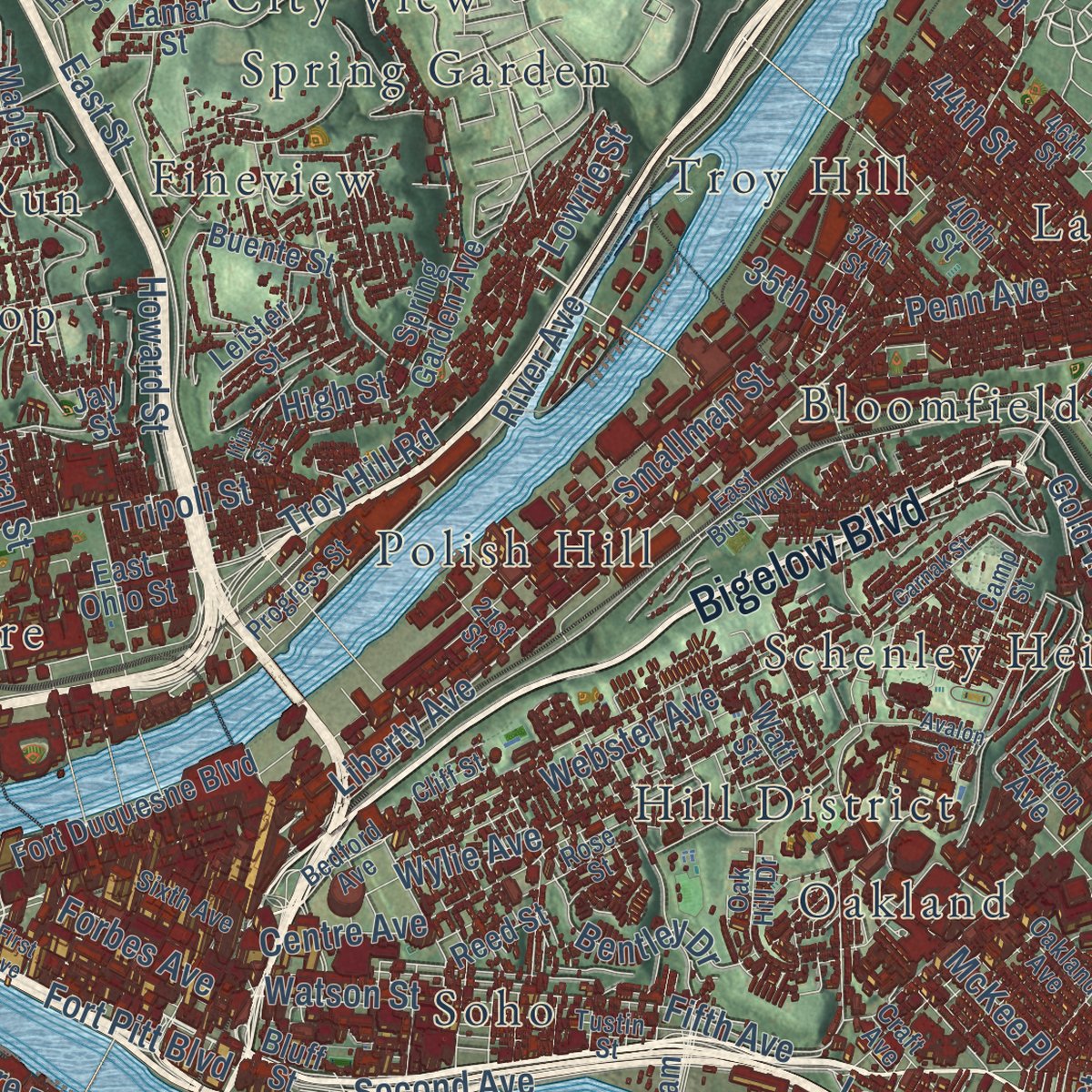
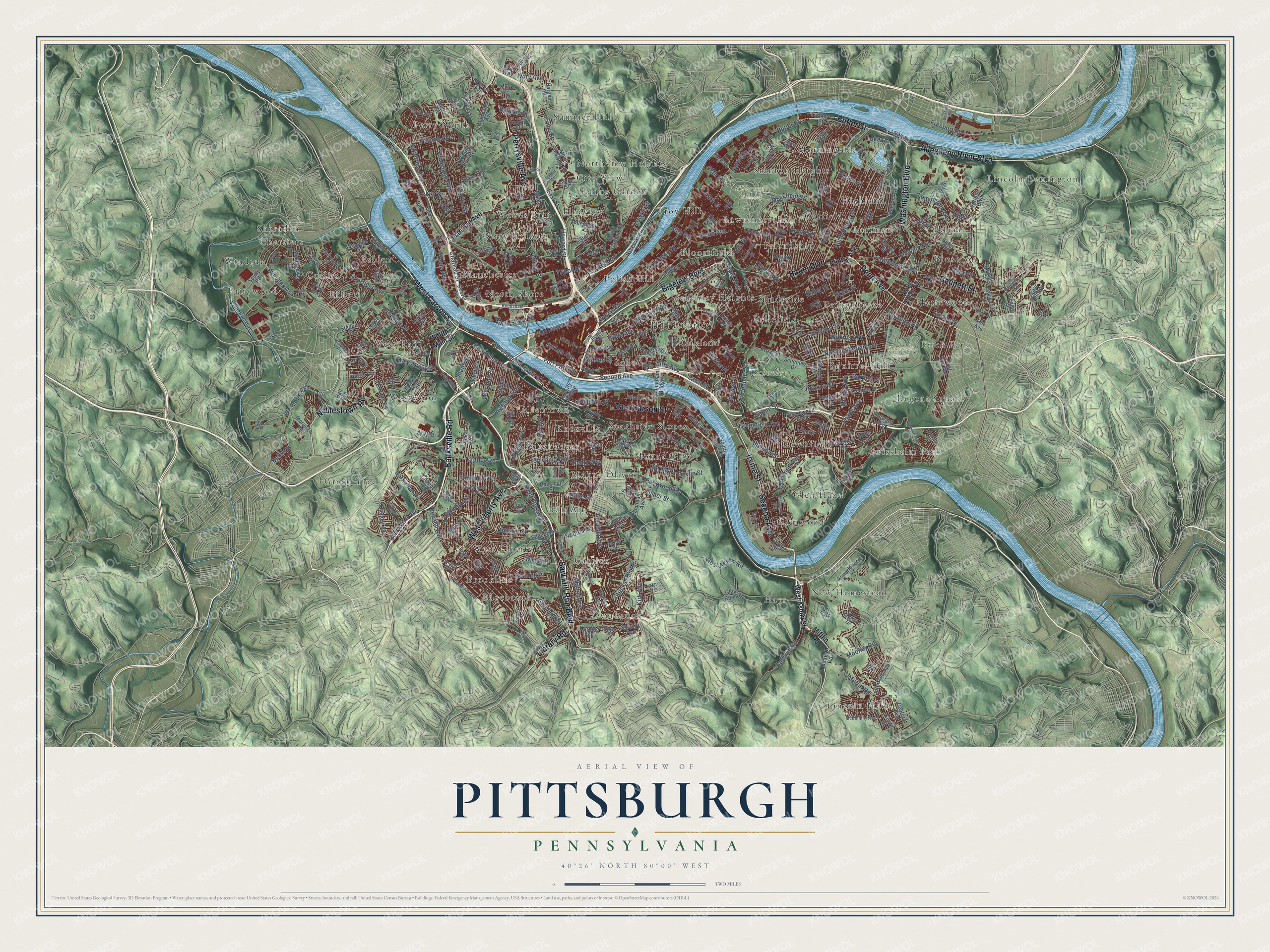
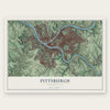
Explore Pittsburgh, Pennsylvania from a whole new perspective. Created using aerial imagery and detailed geographic data, this map captures Pittsburgh building by building, with labeled streets, familiar landmarks, and shaded topographical relief that highlights the natural contours of the landscape.
Combining modern data with the timeless character of a vintage atlas, this map is just as interesting up close as it is beautiful on the wall. Whether you grew up in Pittsburgh, spent memorable years there, or call it home today, this unique map is a great way to celebrate a place that means something to you. Zoom in on the preview to look for your street, and then order a print to put your memories on the wall.
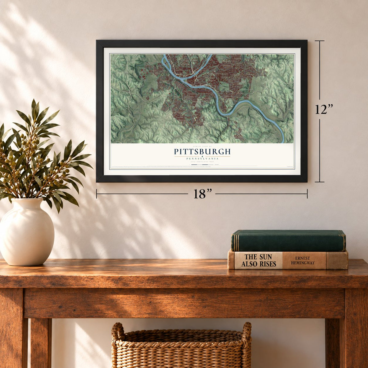
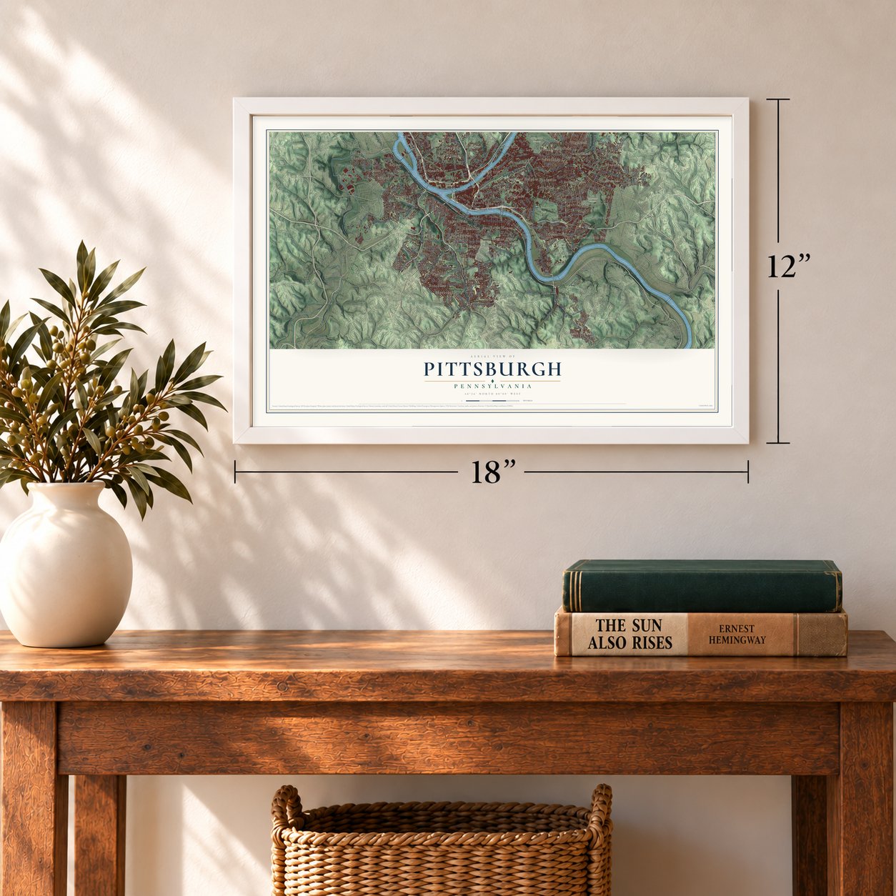
Three ways to hang it
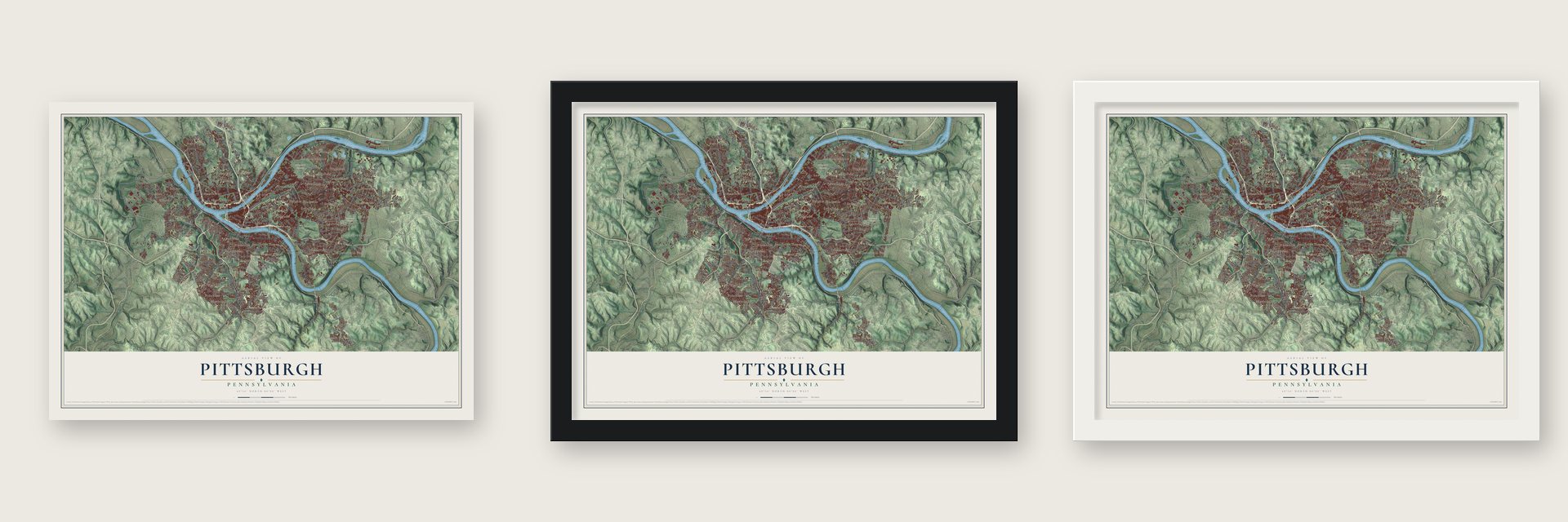
Unframed archival matte, a black wood frame or a white wood frame.
Up close
Geography Worth Displaying
This map was created using accurate cartographic data and authoritative geographic sources, including the U.S. Geological Survey and the Census Bureau. The map brings together terrain, waterways, roads, and building detail. The majority of the streets are labeled, houses are accurately depicted, and the topography is derived from government sources. Combining local data with carefully composed color and shading leads to this beautifully detailed Pittsburgh artwork for your wall.
Rather than simply showing street outlines, we’ve included as many of the street names as we could reasonably fit on the map while keeping their names legible. Zoom in on the high resolution preview to see exactly what’s on the map. We truly set out to create a statement piece for anyone who loves Pittsburgh. So whether it’s for you, or a gift for someone you love, we hope this map of Pittsburgh brings back fond memories.
Read the story behind this map of Pittsburgh, Pennsylvania from 2026.
Find your street
Names on the Pittsburgh map
Every name below is printed on this map. Look for your street, your school, the park where you played, or the pond down the road.
Places and landmarks67
- Allegheny Cemetery
- Calvary Cemetery
- Homewood Cemetery
- Schenley Park
- Lincoln Place
- Windgap
- Lincoln-Lemington
- Perry North
- Overbrook
- New Homestead
- Mount Oliver
- Brushton
Show all 67 places
- Westwood
- Esplen
- Morningside
- Troy Hill
- Swisshelm Park
- Bon Air
- Shadyside
- Southside Slopes
- Elliott
- Glenwood
- Brookline
- Schenley Heights
- Summer Hill
- Regent Square
- Hill District
- City View
- Lawrenceville
- Belmar
- Soho
- Stanton Heights
- Hays
- Glen Hazel
- Squirrel Hill
- Mount Olive
- Chartiers
- Allentown
- West Liberty
- Friendship
- Frick Park
- Carrick
- Oakland
- Highland
- Perry Hilltop
- Manchester
- West End
- Homewood
- Larimer
- Woods Run
- Beltzhoover
- Greenfield
- Point Breeze
- Polish Hill
- Fineview
- Fairywood
- Green Tree
- North Shore
- Bloomfield
- Bellefield
- Spring Garden
- Garfield
- Knoxville
- Northview Heights
- Corliss
- Edgebrook
- Sheraden
Streets and roads348
- Saw Mill Run Boulevard
- Banksville Road
- East Carson Street
- West Carson Street
- West Liberty Avenue
- Perrysville Avenue
- Bigelow Boulevard
- Noblestown Road
- Washington Boulevard
- Penn Avenue
- Second Avenue
- Bennett Street
- Allegheny River Boulevard
- Baum Boulevard
- Irvine Street
- Butler Street
- Library Road
- Liberty Avenue
- South Busway
- Windgap Avenue
- Ivory Avenue
- Chateau Street
- Carnahan Road
- Wenzell Avenue
- North Shore Drive
- Troy Hill Road
- East Street
- River Avenue
- Fort Pitt Boulevard
- Mifflin Road
Show all 348 streets
- High Street
- Forbes Avenue
- Fifth Avenue
- Centre Avenue
- Chartiers Avenue
- California Avenue
- Shady Avenue
- Becks Run Road
- Webster Avenue
- Smallman Street
- Frankstown Avenue
- Murray Avenue
- Lincoln Avenue
- Crane Avenue
- Broad Street
- Greenfield Avenue
- Boundary Street
- Saline Street
- Wilkins Avenue
- Wylie Avenue
- Preble Avenue
- Northumberland Street
- Hazelwood Avenue
- Baldwin Road
- Beacon Street
- Bartlett Street
- Sidney Street
- Grandview Avenue
- Lake Drive
- Federal Street
- Termon Avenue
- Crucible Street
- West Busway
- Mossfield Street
- Lemington Avenue
- Banksville Avenue
- West Station Square Drive
- Shadeland Avenue
- Bigelow Street
- Reynolds Street
- Parkwood Road
- Broadway Avenue
- Boggs Avenue
- Watson Street
- Wabash Tunl
- Lowrie Street
- West Agnew Road
- Bryant Street
- Howe Street
- Freeport Road
- Nobles Lane
- Meade Street
- Spring Street
- Sebring Avenue
- Bellaire Place
- 44th Street
- Fisher Street
- Bingham Street
- North Beatty Street
- Sylvania Avenue
- Dawson Street
- Mooney Road
- Dunster Street
- Glenbury Street
- Walton Avenue
- Bentley Drive
- Fair Oaks Street
- Kirk Avenue
- Amanda Avenue
- Carnegie Street
- Shaler Street
- Meridan Street
- McCartney Street
- Howard Street
- Race Street
- Colby Street
- Cypress Street
- Stayton Street
- Eckert Street
- Elmer Street
- Rentz Way
- Gold Way
- Baytree Street
- McKee Place
- Frew Street
- Lawn Street
- Tripoli Street
- Devlin Street
- 35th Street
- Bell Avenue
- Alice Street
- 48th Street
- Ella Street
- Mall Drive
- Marshall Avenue
- South Main Street
- West Ashby Street
- Whited Street
- East Ohio Street
- Beechwood Boulevard
- Stanton Avenue
- Steuben Street
- Spring Garden Avenue
- Middletown Road
- South 18th Street
- Schenley Drive
- Forward Avenue
- Chislett Street
- Kelly Street
- Birmingham Bridge
- Reservoir Drive
- Jane Street
- Climax Street
- 40th Street
- Interboro Avenue
- Edgebrook Avenue
- Fort Duquesne Boulevard
- Kearns Avenue
- Beaver Avenue
- Bausman Street
- Paulson Avenue
- Mount Pleasant Road
- Woods Run Avenue
- Glass Run Road
- South Water Street
- Phillips Avenue
- Apple Avenue
- Stewart Avenue
- Tioga Street
- Mountain Avenue
- Benton Avenue
- Reed Street
- Lilac Street
- Baker Street
- Murdoch Road
- East End Avenue
- Armorhill Avenue
- Oakdale Street
- Fulton Street
- Lorenz Avenue
- Mairdale Avenue
- Horning Avenue
- Allendale Street
- Allender Avenue
- Seaton Street
- Lydia Street
- Industrial Highway
- Island Avenue
- Warriors Road
- Bricelyn Street
- Wiltsie Street
- Morange Road
- Linnview Avenue
- Sweetbriar Street
- Valera Avenue
- New Beaver Avenue
- Carver Street
- Circle Avenue
- Comrie Way
- Tropical Avenue
- Douglas Street
- Vodeli Street
- Fire Way
- Keefe Street
- Bluff Street
- Oakwood Street
- Ivy Street
- Liberty Bridge
- Maple Avenue
- Dyke Street
- Harriett Street
- Buente Street
- Scully Road
- Marina Drive
- East Hills Drive
- Linda Drive
- Mohler Street
- Bascom Avenue
- Verona Boulevard
- Harris Avenue
- Anita Avenue
- Grand Avenue
- Chappel Avenue
- Otillia Street
- Bigham Street
- Harpen Road
- Landview Road
- Leister Street
- Ruth Street
- Welfer Street
- Stadium Street
- Elrod Way
- Barr Avenue
- Seagirt Street
- Watt Street
- Logue Street
- Alries Street
- Century Avenue
- 51st Street
- Dunlap Street
- Lytton Avenue
- Lamar Street
- Esplen Street
- 57th Street
- Tracy Street
- Dill Way
- Gulf Way
- Hill Avenue
- Ancy Way
- Hall Avenue
- Oval Way
- Jay Street
- Ohio River Boulevard
- Lebanon Road
- North Dallas Avenue
- Reedsdale Street
- Ely Street
- East Bus Way
- Pioneer Avenue
- Bedford Avenue
- Parkview Boulevard
- Fitch Way
- McElhinny Avenue
- Hill Street
- Mission Street
- South Linden Avenue
- 46th Street
- Knox Avenue
- Buena Vista Street
- Dorchester Avenue
- Wharton Street
- Camelia Street
- Hampshire Avenue
- Coast Avenue
- Tustin Street
- Sixth Avenue
- Oak Hill Drive
- Brevet Way
- 37th Street
- Oakland Avenue
- Progress Street
- Beeler Street
- Woodville Avenue
- Collins Avenue
- Taft Avenue
- South 26th Street
- Gem Way
- Oberlin Street
- Craft Avenue
- Nelson Run Road
- Hazlett Street
- Camp Street
- Brandon Road
- El Paso Street
- Esther Street
- Bus Way
- Rose Street
- Cedarville Street
- Denise Street
- Lockway West
- Kirkbride Street
- Corliss Street
- Ridenour Avenue
- Dawn Avenue
- Jerome Street
- Cliff Street
- Grizella Street
- Windom Street
- 21st Street
- Blair Street
- Ingram Avenue
- Fence Way
- Juliet Street
- Nevada Street
- Flora Street
- Shiloh Street
- Diller Place
- Alora Way
- Holt Street
- Zurn Way
- Bell Road
- Overlook Drive
- Riverview Avenue
- North Negley Avenue
- Aylesboro Avenue
- South Dallas Avenue
- Parkfield Street
- Estella Avenue
- Glenwood Avenue
- Oakville Drive
- Commercial Street
- First Avenue
- Greenleaf Street
- Heberton Street
- Potomac Avenue
- Baldwick Road
- Emerson Street
- Alder Street
- Ashlyn Street
- Itin Street
- Eloise Street
- Livery Way
- Carnak Street
- Delafield Road
- Squirrel Hill Avenue
- Milroy Street
- Glenarm Avenue
- Lotus Way
- Provost Road
- Leland Street
- Ebdy Street
- Avalon Street
- Bodkin Street
- Sunrise Avenue
- Kathy Drive
- Merle Street
- Kerr Street
- Lime Street
Names are listed as they appear on the printed map. Zoom into the product photos to find them.
About Pittsburgh, Pennsylvania
Pittsburgh is a city of 302,971 people and the seat of Allegheny County, built on the point where the Allegheny and Monongahela Rivers join to form the Ohio. The Lenape kept a village called Shannopin's Town along the Allegheny. In 1753 the British began Fort Prince George at the forks, but a larger French force drove them off and built Fort Duquesne. General John Forbes captured the forks in 1758, started Fort Pitt and named the settlement for the British statesman William Pitt.
Pitt Township, the first civilian government here, was formed on April 16, 1771, with William Teagarden as its constable. Boat builders outfitted families heading west down the Ohio, and the village became a borough on April 22, 1794. By 1797 about 1,400 people lived here. The War of 1812 cut off British goods, so local shops began making their own iron, brass, tin and glass, and Pittsburgh became a city on March 18, 1816.
“hell with the lid off.”
- Mount Washington was Coal HillAround 1760 the steep hill across the river from downtown went by Coal Hill, because miners dug the Pittsburgh coal bed from it to fuel Fort Pitt. A state marker on Grandview Avenue calls the spot the birthplace of Pennsylvania's bituminous coal industry.
- The first glass works, 1797James O'Hara and Isaac Craig opened Pittsburgh's first glass factory in 1797 on West Carson Street, at the foot of what is now the Duquesne Incline. Their works turned out bottles and window glass until the 1880s.
- Lewis's keelboat, 1803Meriwether Lewis bought a keelboat in Pittsburgh in 1803, and his party later took it up the Missouri River. For that reason the federal government counts the city as the starting point of the Lewis and Clark Expedition.
- The Great Fire of 1845Fire swept the city in 1845 and destroyed more than a thousand buildings. Irish immigrants escaping the famine came and helped rebuild it, and by 1857 Pittsburgh's 1,000 factories were burning 22 million bushels of coal a year.
- The Steel CityRailroads followed both rivers into town, and the Civil War brought heavy Union orders for iron and arms. In 1901 J. P. Morgan and Elbert H. Gary folded Carnegie Steel and other firms into U.S. Steel, and by 1910 Pittsburgh was the eighth-largest city in the nation, making a third to a half of its steel. During World War II the mills ran 24 hours a day and produced 95 million tons.
Keep exploring Pennsylvania
Pittsburgh is one of 3,725 Pennsylvania towns we've mapped. Every dot on the map is a print of its own.
The search covers every state, Pennsylvania first.
Near Pittsburgh
Order 2 or more town maps and save 10%. Shown in the size and finish you picked above, so they hang as a set.
- West Oakland 12" x 18" / Archival Matte Print $39.99
- Terrace Village 12" x 18" / Archival Matte Print $39.99
- Bluff 12" x 18" / Archival Matte Print $39.99
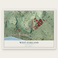
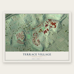
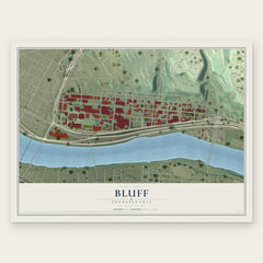
More maps nearby: Crawford-Roberts, Middle Hill, Bedford Dwellings, South Oakland and Central Oakland.
The art of mapping a place
How This Map Was Made
Real places. Remarkable detail. Discover the layers that turn geographic data into a map of home.

The view from above
Aerial imagery reveals the character of the land: woodland, open fields, and the patterns of a place.

The shape of the land
Elevation data brings hills, valleys, and subtle changes in the landscape into view.

The details of home
Roads, waterways, and building footprints come together to make the map feel unmistakably local.

Geography becomes art
Considered color, shading, and typography bring the layers together in a map made for your wall.


Process illustrated with Mendon, Massachusetts. Aerial imagery: USDA NAIP. Terrain: USGS 3D Elevation Program. Map details and finished artwork: KNOWOL.
The Details
About This Print
Choose an archival matte print, or a black or white Ayous wood frame. The archival matte print is unframed.
Select your size and finish above to see the matching product image and price.
Materials & Craftsmanship
A contemporary map with the character of a classic atlas, printed on archival matte paper. Optional frames are made from Ayous wood.
Your printed map does not include the watermark shown in the full-map preview.
Shipping & Delivery
Free shipping within the United States. Every print is made to order in the USA.
Buying a gift? Add a note in your cart and we'll include it. We never put prices in the package.
Prints ship within 2 to 3 business days. Allow 7 to 10 days total from ordering for delivery. Timing may vary during holidays or periods of high order volume.
Read our shipping policy.
Returns and damaged prints
Each print is made to order. Change-of-mind refunds are not available after production.
If your print arrives damaged, misprinted or incorrect, contact support@knowol.com within 30 days of receiving it. Include your order number, photos and a description of the issue.
Read our full refund and replacement policy. For questions about your order, email support@knowol.com.