
Search for another town




Free U.S. delivery 7 to 10 days after you order
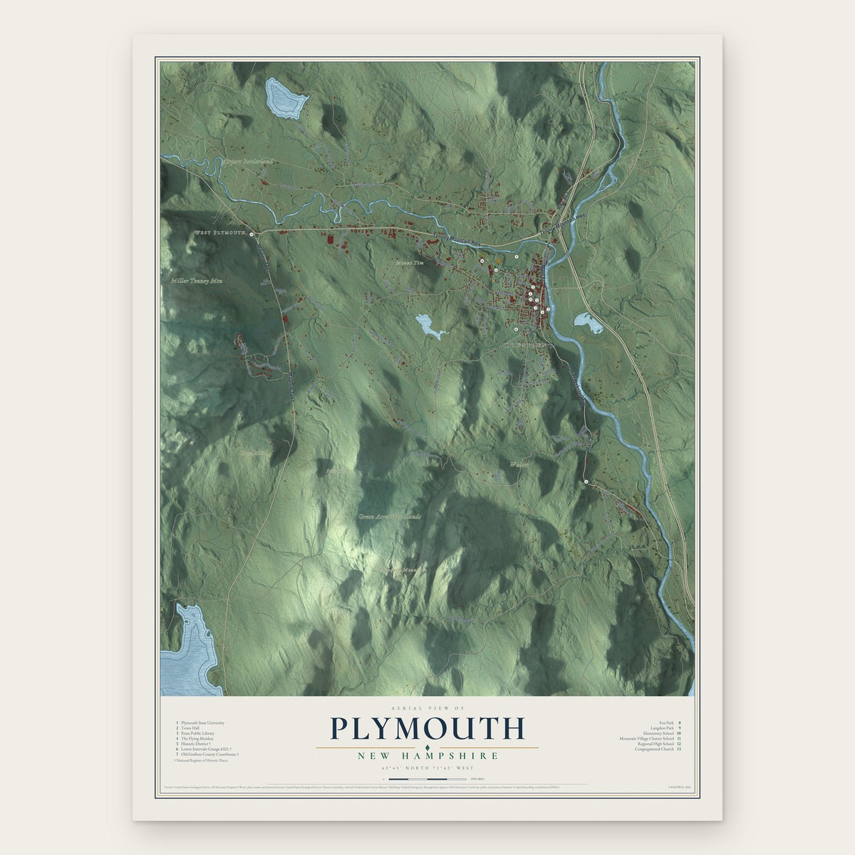
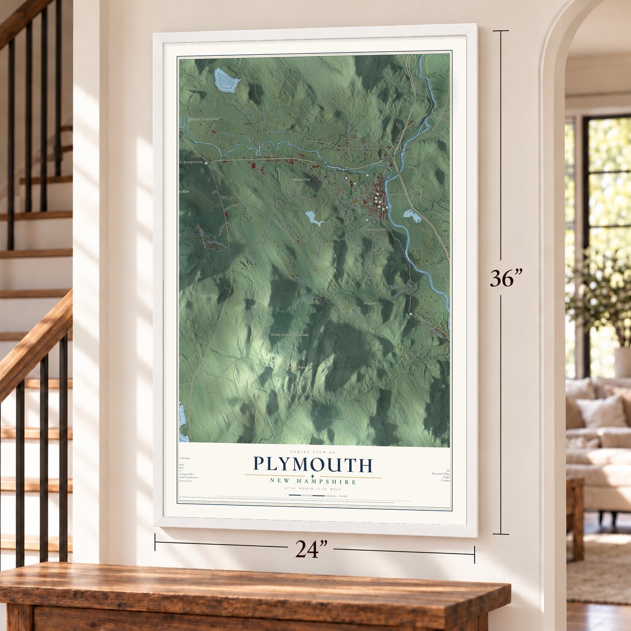
Plymouth, New Hampshire Map Art
Building by building, with labeled streets and shaded relief.
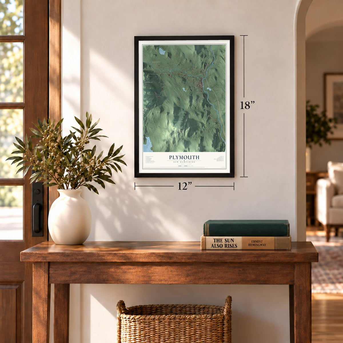
12" x 18" Archival Matte Print
A Map of Home. A Work of Art.
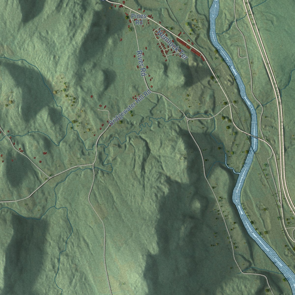
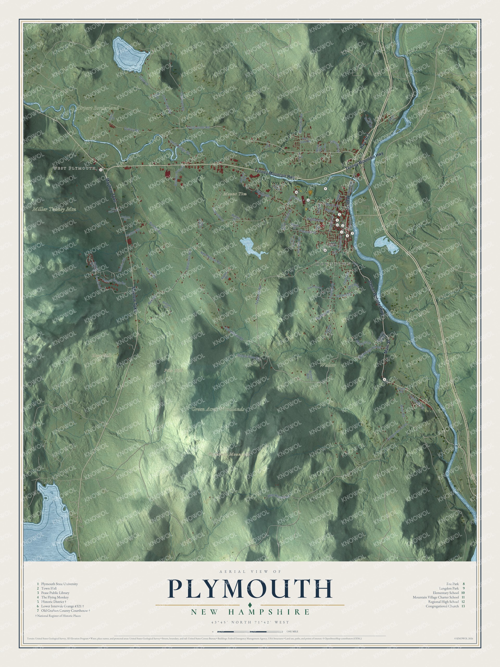
Explore Plymouth, New Hampshire from a whole new perspective. Created using aerial imagery and detailed geographic data, this map captures Plymouth building by building, with labeled streets, familiar landmarks, and shaded topographical relief that highlights the natural contours of the landscape.
Combining modern data with the timeless character of a vintage atlas, this map is just as interesting up close as it is beautiful on the wall. Whether you grew up in Plymouth, spent memorable years there, or call it home today, this unique map is a great way to celebrate a place that means something to you. Zoom in on the preview to look for your street, and then order a print to put your memories on the wall.
Three ways to hang it
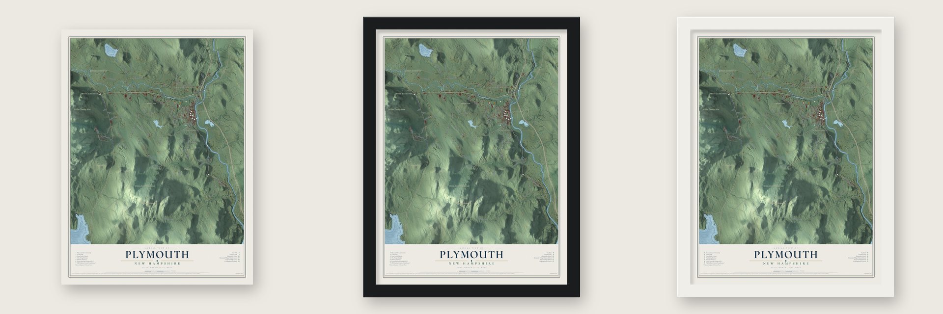
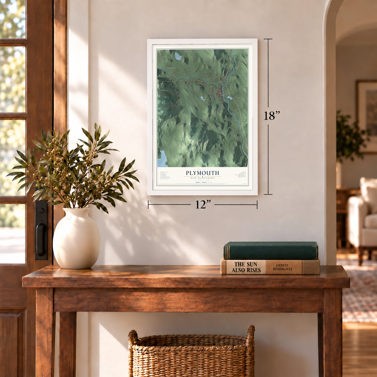
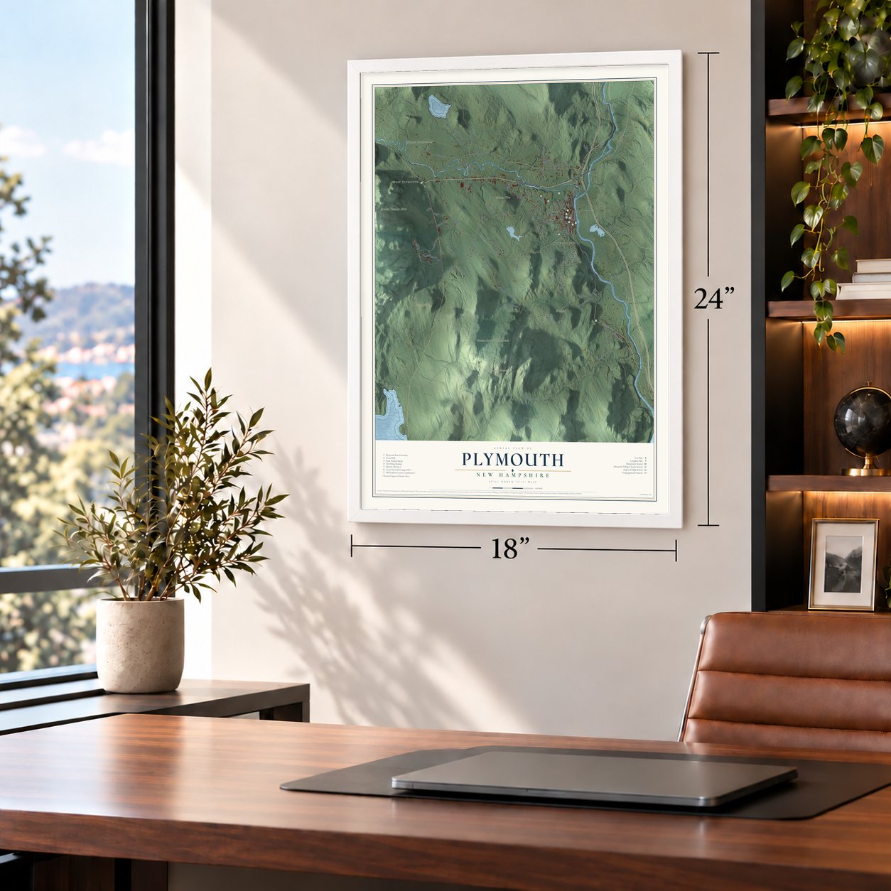
Unframed archival matte, a black wood frame or a white wood frame.
Up close
Geography Worth Displaying
This map was created using accurate cartographic data and authoritative geographic sources, including the U.S. Geological Survey (USGS) and FEMA. The map brings together terrain, waterways, roads, and building detail. The majority of the streets are labeled, houses are accurately depicted, and the topography is derived from government sources. Combining local data with carefully composed color and shading leads to this beautifully detailed Plymouth artwork for your wall.
Rather than simply showing street outlines, we’ve included as many of the street names as we could reasonably fit on the map while keeping their names legible. Zoom in on the high resolution preview to see exactly what’s on the map. We truly set out to create a statement piece for anyone who loves Plymouth. So whether it’s for you, or a gift for someone you love, we hope this map of Plymouth brings back fond memories.
Explore the full map of Plymouth, New Hampshire and read about the local places it shows.

Find your street
Names on the Plymouth map
Every name below is printed on this map. Look for your street, your school, the park where you played, or the pond down the road.
Places and landmarks10
- Downtown
- West Plymouth
- Hoyt Hill
- Mount Tim
- Pike Hill
- Plymouth Mountain
- Miller Tenney Mtn
- Walter
- Airport Borderland
- Green Acres Woodlands
Streets and roads83
- Highway-Rt 3
- Tenney Mountain Highway
- Daniel Webster Highway
- Main Street
- Mayhew Turnpike
- Texas Hill Road
- Fairgrounds Road
- Highland Street
- Melvin Road
- Thurlow Street
- Crescent Street
- Russell Street
- Quincy Road
- Reservoir Road
- Chaisson Road
- Old Hebron Road
- Loon Lake Road
- Yeaton Road
- Cummings Hill Road
- New Hebron Road
- Bell Road
- Scenic View Drive
- Bartlett Road
- Morse Road
- Langdon Street
- Smith Bridge Road
- Davis Road
- River Road
- Pleasant Street
- Beech Hill Road
Show all 83 streets
- Merrill Street
- Tenney Brook Road
- Ski Lift Lane
- Marjorie Lane
- Ash Hill Road
- Boulder Point Drive
- Slate Lane
- Hunt Road East
- Summit Road
- High Street
- Hemlock Terrace
- Carmel Drive
- Green Street
- Old 25 Road
- Smith Street
- Eagles Nest Road
- Chaddarin Lane
- Sunrise Circle
- Ledgeside Lane
- Webster Hill Road
- Bridgewater Hill Road
- Stinson Road
- Tobey Road
- Adrians Way
- Piper Notch Road
- Maple Street
- Old North Main Street
- Pine Gate Road
- Lurie Drive
- Adams Road
- Marie Way
- Walters Way
- Lewis Drive
- Pemi Drive
- Winjoe Drive
- Pines Road
- Oak Ridge Road
- Cross Country Lane
- Old Ward Bridge Road
- Binks Hill Road
- Avery Street
- Sanborn Road
- Randolph Street
- Clay Brook Drive
- Tall Pines Road
- Fox Park Drive
- Page Street
- Steel Drive
- First Street
- River Ridge Road
- Parker Street
- Cooksville Road
- Foster Street
Names are listed as they appear on the printed map. Zoom into the product photos to find them.
About Plymouth, New Hampshire
Plymouth is a town of 6,682 people in Grafton County, where the Baker River flows into the Pemigewasset. An Abenaki village once stood here, and Captain Thomas Baker burned it to the ground in 1712, during Queen Anne's War. Decades later, Governor Benning Wentworth granted the land as New Plymouth, named for the Massachusetts colony, to veterans of the French and Indian War from Hollis. Some of those men were natives of Plymouth, Massachusetts.
Plymouth was incorporated in 1763, though settlers didn't truly arrive in numbers until the 1770s. The common was laid out on terraces above the Pemigewasset, with the first meeting house where the Congregational church stands now. When Grafton County was created, Plymouth became one of its shire towns. The town grew again when it took in parts of Hebron in 1845 and Campton in 1860.
- Daniel Webster's first lossThe Old Grafton County Courthouse went up in 1774, and in 1806 a young Daniel Webster lost his first criminal case there. Henry W. Blair saved it in 1876, moving it beside the town hall, where the Young Ladies' Library Association ran it as a library. It now holds the Plymouth Historical Society's museum.
- The state's first teachers' collegeThe Plymouth Normal School opened in 1871, growing out of the Holmes Plymouth Academy. Robert Frost taught English at the school before he and his family sailed for England in 1912. It was renamed Plymouth Teachers College in 1939 and Plymouth State College in 1963, and it became Plymouth State University in 2003.
- Babe Ruth came for his gearEarly in the 20th century, the Boston Red Sox bought equipment directly from Plymouth's Draper and Maynard Sporting Goods Company. Babe Ruth and other players made regular trips to town to choose their own gear.
- Hawthorne's last tripIn 1864 the author Nathaniel Hawthorne was traveling on vacation with former President Franklin Pierce when he died in Plymouth, at the second Pemigewasset House. The hotel itself burned down in 1909.
- A Boy Scout on the commonGeorge Borst, a summer resident, designed the fountain at the center of the oval common, a kneeling Boy Scout cupping water in his hands, and it was placed in 1933. On the west side are the 1890 Town Hall, which C. Willis Damon designed to double as a county courthouse, the 1885 building of the Pemigewasset National Bank and the 1936 post office. With the common, they became the Plymouth Historic District on the National Register in 1986.
Keep exploring New Hampshire
Plymouth is one of 277 New Hampshire towns we've mapped. Every dot on the map is a print of its own.
The search covers every state, New Hampshire first.
Near Plymouth
Order 2 or more town maps and save 10%. Shown in the size and finish you picked above, so they hang as a set.
- Ashland 12" x 18" / Archival Matte Print $39.99
- Hebron 12" x 18" / Archival Matte Print $39.99
- Rumney 12" x 18" / Archival Matte Print $39.99


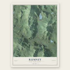
More maps nearby: Bridgewater, Groton, Campton, Holderness and Bristol.
The art of mapping a place
How This Map Was Made
Real places. Remarkable detail. Discover the layers that turn geographic data into a map of home.

The view from above
Aerial imagery reveals the character of the land: woodland, open fields, and the patterns of a place.

The shape of the land
Elevation data brings hills, valleys, and subtle changes in the landscape into view.

The details of home
Roads, waterways, and building footprints come together to make the map feel unmistakably local.

Geography becomes art
Considered color, shading, and typography bring the layers together in a map made for your wall.


Process illustrated with Mendon, Massachusetts. Aerial imagery: USDA NAIP. Terrain: USGS 3D Elevation Program. Map details and finished artwork: KNOWOL.
The Details
About This Print
Choose an archival matte print, or a black or white Ayous wood frame. The archival matte print is unframed.
Select your size and finish above to see the matching product image and price.
Materials & Craftsmanship
A contemporary map with the character of a classic atlas, printed on archival matte paper. Optional frames are made from Ayous wood.
Your printed map does not include the watermark shown in the full-map preview.
Shipping & Delivery
Free shipping within the United States. Every print is made to order in the USA.
Buying a gift? Add a note in your cart and we'll include it. We never put prices in the package.
Prints ship within 2 to 3 business days. Allow 7 to 10 days total from ordering for delivery. Timing may vary during holidays or periods of high order volume.
Read our shipping policy.
Returns and damaged prints
Each print is made to order. Change-of-mind refunds are not available after production.
If your print arrives damaged, misprinted or incorrect, contact support@knowol.com within 30 days of receiving it. Include your order number, photos and a description of the issue.
Read our full refund and replacement policy. For questions about your order, email support@knowol.com.