
Search for another town





Free U.S. delivery 7 to 10 days after you order
Point Pleasant, West Virginia Map Art
A new map of Point Pleasant, West Virginia, made in 2026 and printed to order on thick archival matte paper.
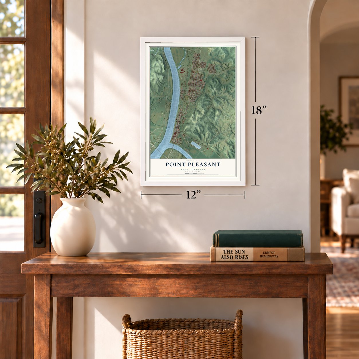
12" x 18" Archival Matte Print
A Map of Home. A Work of Art.
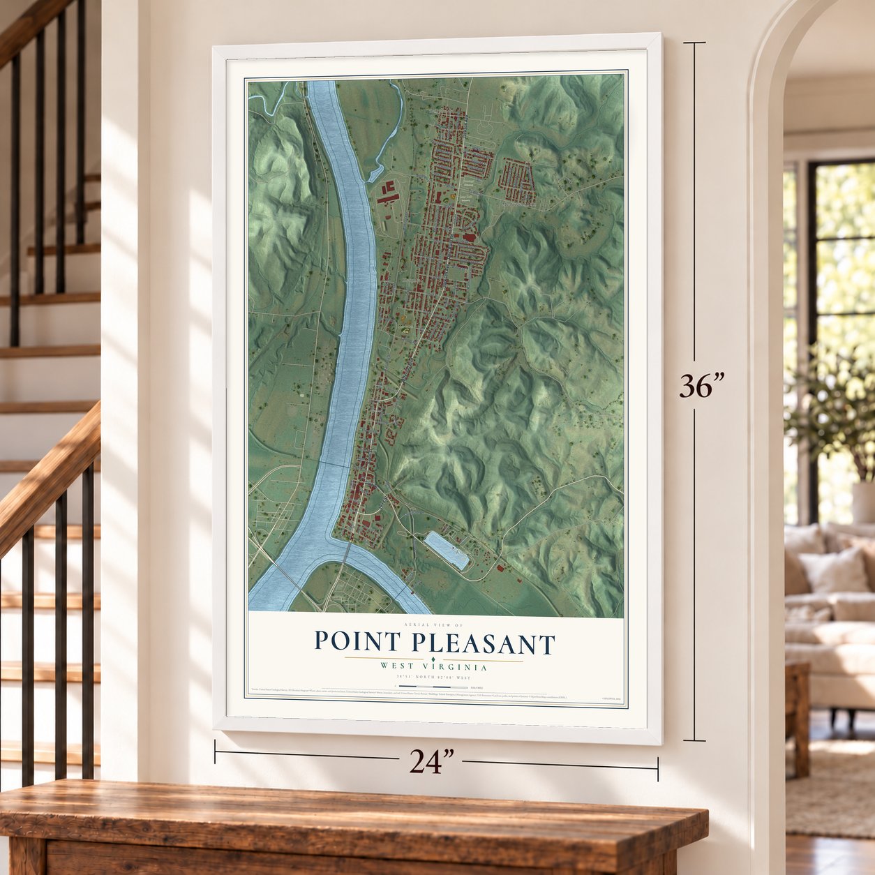
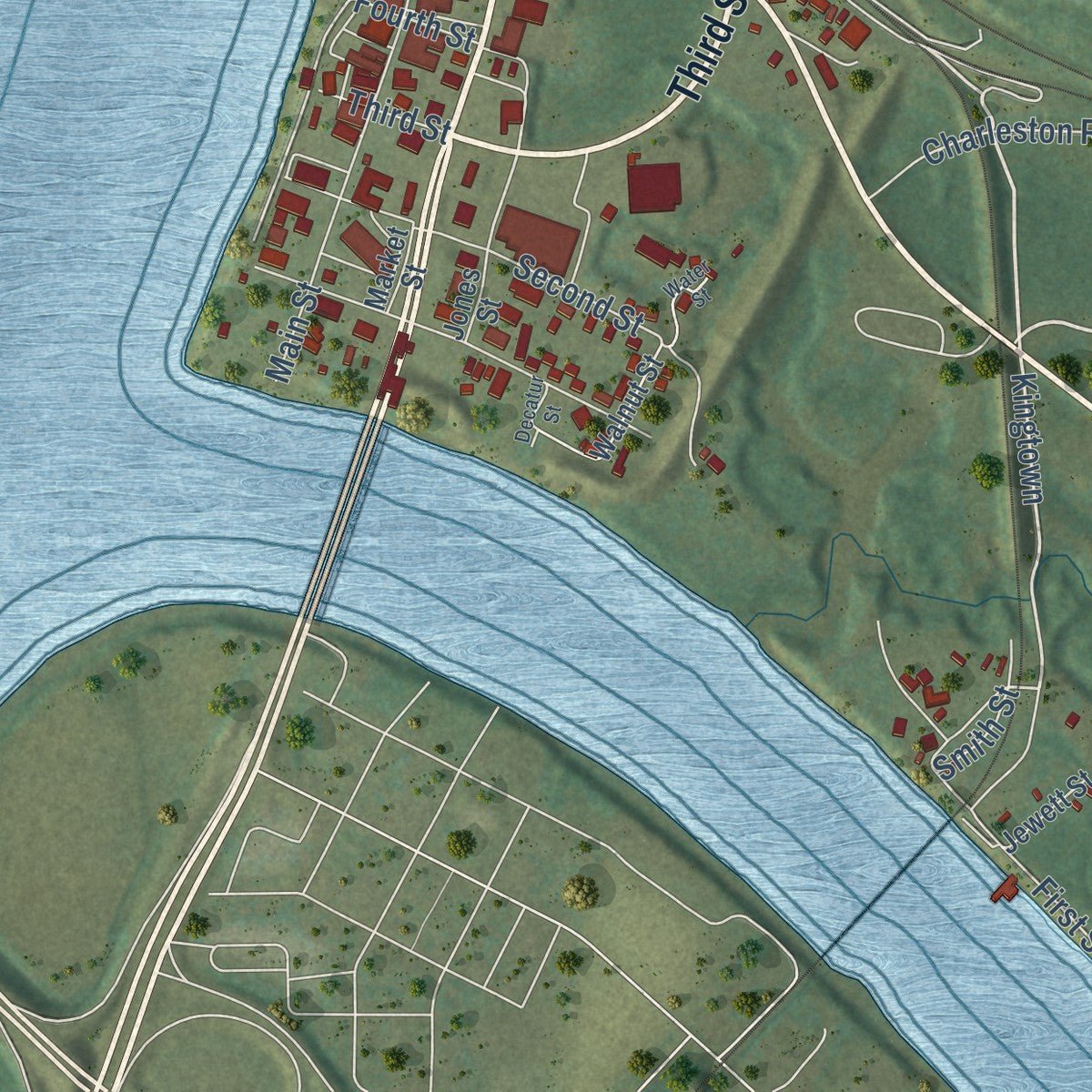
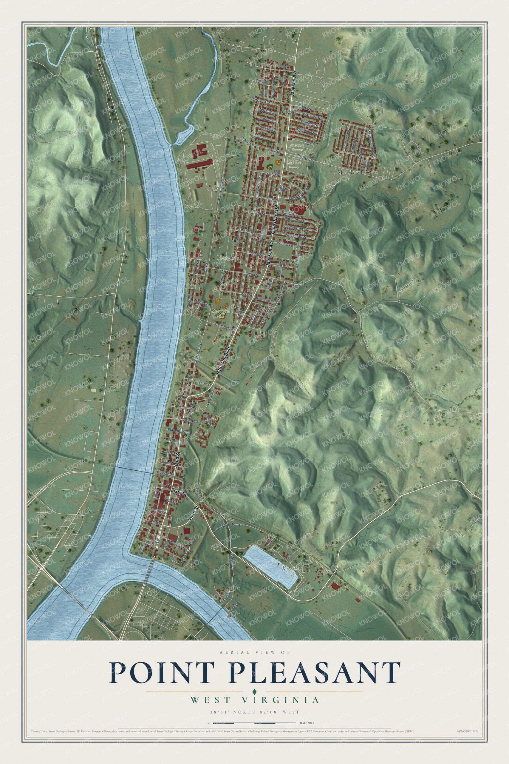
Explore Point Pleasant, West Virginia from a whole new perspective. Created using aerial imagery and detailed geographic data, this map captures Point Pleasant building by building, with labeled streets, familiar landmarks, and shaded topographical relief that highlights the natural contours of the landscape.
Combining modern data with the timeless character of a vintage atlas, this map is just as interesting up close as it is beautiful on the wall. Whether you grew up in Point Pleasant, spent memorable years there, or call it home today, this unique map is a great way to celebrate a place that means something to you. Zoom in on the preview to look for your street, and then order a print to put your memories on the wall.
Three ways to hang it
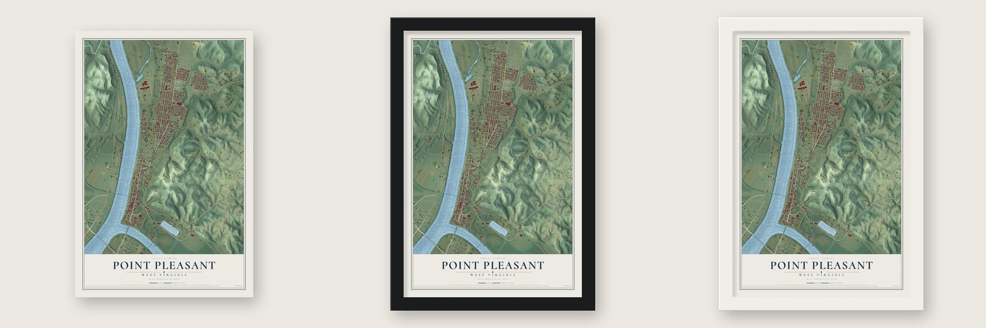
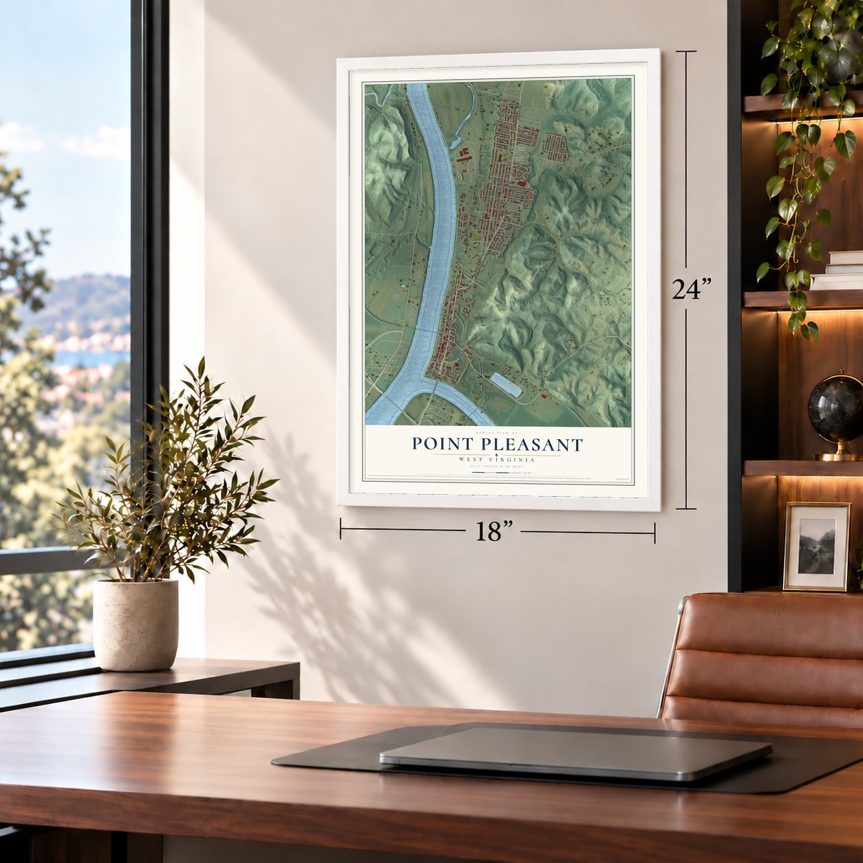
Unframed archival matte, a black wood frame or a white wood frame.
Up close
Geography Worth Displaying
This map was created using accurate cartographic data and authoritative geographic sources, including the U.S. Geological Survey and the Census Bureau. The map brings together terrain, waterways, roads, and building detail. The majority of the streets are labeled, houses are accurately depicted, and the topography is derived from government sources. Combining local data with carefully composed color and shading leads to this beautifully detailed Point Pleasant artwork for your wall.
Rather than simply showing street outlines, we’ve included as many of the street names as we could reasonably fit on the map while keeping their names legible. Zoom in on the high resolution preview to see exactly what’s on the map. We truly set out to create a statement piece for anyone who loves Point Pleasant. So whether it’s for you, or a gift for someone you love, we hope this map of Point Pleasant brings back fond memories.
Read the story behind this map of Point Pleasant, West Virginia from 2026.

About Point Pleasant, West Virginia
Point Pleasant is a city of 4,070 people in Mason County, where the Kanawha River flows into the Ohio. A Shawnee village called Upper Shawneetown stood here before 1749. That year Pierre Joseph Céloron de Blainville, exploring for France, buried a lead plaque where the rivers join, claiming the whole Ohio Valley for his king, but the local tribes stayed loyal to the British.
Col. Andrew Lewis set up Camp Point Pleasant during the battle of 1774, and the settlement that grew around it kept the name. It received its charter in 1794 and became the county seat when Mason County was split from Kanawha County in 1804. Growth came slowly, and some people blamed a curse laid by the killing of Chief Cornstalk. In 1819 Jonas Smith laid out the town on its first recorded plat, and incorporation followed in 1833.
“It is the seat of justice of Mason county Virginia, and contains about 15 or 20 families, a log courthouse, a log jail and as usual (but unfortunately) in the Virginia towns, a pillory and whipping post.”
- The battle of 1774On October 10, 1774, Col. Andrew Lewis led over one thousand Virginia militiamen against Shawnee and Mingo warriors of about equal number under Chief Cornstalk, on the ground the town now covers. The Virginians won. Locals call it the Revolution's first battle, and in 1908 the U.S. Senate authorized a monument here honoring it that way, though most historians count it as part of Lord Dunmore's War. Point Pleasant Battleground joined the National Register in 1970.
- Fort RandolphIn 1776 a new fort, named for the Virginia official Peyton Randolph, went up where the earlier Fort Blair stockade had stood. A mob killed Chief Cornstalk, held prisoner there, on November 10, 1777. The fort survived an attack the next year, was abandoned in 1779 and rebuilt nearby in 1785. The town now covers the original site, so a replica built in 1973 and 1974 for the battle's 200th anniversary stands in Krodel Park, about a mile away.
- Raiders at the courthouseMore than 1000 Mason County men joined the Union army, while just one company of 61 fought for the Confederacy. In March 1863, during the Jones-Imboden Raid, Confederate horsemen of the 6th and 8th Virginia Cavalry struck the Mason County Courthouse, believing munitions were kept there. It was the only fight of the war in Point Pleasant, and the bullet holes stayed in the walls until a new courthouse replaced it in 1954.
- The Silver Bridge, 1967The Silver Bridge collapsed in 1967, and 46 people died. The disaster brought Point Pleasant wide notice across the country.
- Home of the MothmanLocal legend says the Mothman, a creature that warns of coming disaster, lives in an abandoned World War II TNT factory near town. John Keel's 1975 book The Mothman Prophecies inspired a film released in January 2002. Today the town has a Mothman Museum and a 12-foot metal statue of the creature, and its yearly Mothman Festival brings tours, pageants, balls, films and music.
Find your street
Names on the Point Pleasant map
Every name below is printed on this map. Look for your street, your school, the park where you played, or the pond down the road.
Places and landmarks7
- Bellmeade
- Heights
- Harmon Park
- Krodel Park
- Lone Oak Cemetery
- Suncrest Cemetery
- Meadowbrook
Streets and roads95
- Viand Street
- Jefferson Boulevard
- Jackson Avenue
- Ohio River Road
- Third Street
- Sixth Street
- Kanawha Street
- Kingtown
- South Park Drive
- 30th Street
- Twelfth Street
- 28th Street
- Lincoln Avenue
- North Park Drive
- Eleventh Street
- Mount Vernon Avenue
- Madison Avenue
- Main Street
- Meadowbrook Drive
- First Street
- Jefferson Avenue
- Monroe Avenue
- North Main Street
- 22nd Street
- Lewis Street
- English Court
- Parrish Avenue
- Valley Drive
- 26th Street
- Ohio Street
Show all 95 streets
- County Route 15
- Shore Street
- 23rd Street
- Mossman Circle
- Mason Boulevard
- 27th Street
- Second Street
- Birch Avenue
- Camden Avenue
- Washington Avenue
- Maple Avenue
- 24th Street
- Chandler Drive
- 21st Street
- Charleston Road
- Howard Avenue
- Kathnor Lane
- Fifth Street
- Franklin Avenue
- Willow Lane
- Warwick Road
- Hogg Street
- Pleasant Street
- McNeil Avenue
- 25th Street
- Seventh Street
- Wakefield Road
- Spruce Avenue
- Roseberry Lane
- Maxwell Avenue
- Marquette Avenue
- 29th Street
- Poplar Street
- Tenth Street
- Smith Street
- Fourth Street
- Oak Street
- Robinson Street
- Walnut Street
- Windsor Court
- 30 Th Street
- Highland Avenue
- McCulloch Road
- Eighth Street
- Ninth Street
- Washington Lane
- Pine Avenue
- Colonial Lane
- Jewett Street
- Ferris Lane
- Jones Street
- Court Street
- Market Street
- 15th Street
- 20th Street
- County Route 16
- English Road
- Roush Avenue
- Liberty Street
- Lighthouse Lane
- 14th Street
- Water Street
- 13th Street
- Lake View Lane
- Decatur Street
Names are listed as they appear on the printed map. Zoom into the product photos to find them.
The art of mapping a place
How This Map Was Made
Real places. Remarkable detail. Discover the layers that turn geographic data into a map of home.

The view from above
Aerial imagery reveals the character of the land: woodland, open fields, and the patterns of a place.

The shape of the land
Elevation data brings hills, valleys, and subtle changes in the landscape into view.

The details of home
Roads, waterways, and building footprints come together to make the map feel unmistakably local.

Geography becomes art
Considered color, shading, and typography bring the layers together in a map made for your wall.


Process illustrated with Mendon, Massachusetts. Aerial imagery: USDA NAIP. Terrain: USGS 3D Elevation Program. Map details and finished artwork: KNOWOL.
The Details
About This Print
Choose an archival matte print, or a black or white Ayous wood frame. The archival matte print is unframed.
Select your size and finish above to see the matching product image and price.
Materials & Craftsmanship
A contemporary map with the character of a classic atlas, printed on archival matte paper. Optional frames are made from Ayous wood.
Your printed map does not include the watermark shown in the full-map preview.
Shipping & Delivery
Free shipping within the United States. Every print is made to order in the USA.
Buying a gift? Add a note in your cart and we'll include it. We never put prices in the package.
Prints ship within 2 to 3 business days. Allow 7 to 10 days total from ordering for delivery. Timing may vary during holidays or periods of high order volume.
Read our shipping policy.
Returns and damaged prints
Each print is made to order. Change-of-mind refunds are not available after production.
If your print arrives damaged, misprinted or incorrect, contact support@knowol.com within 30 days of receiving it. Include your order number, photos and a description of the issue.
Read our full refund and replacement policy. For questions about your order, email support@knowol.com.
Find your town
Looking for another city?
Find a map of home in our West Virginia collection, or any town in the country.
Nearby
Maps of towns near Point Pleasant
Know someone from one of these towns? Their map makes a great gift.
 Henderson
, West Virginia
From $39.99See the map
 Gallipolis Ferry
, West Virginia
From $39.99See the map
 Clifton
, West Virginia
From $39.99See the map
More maps nearby: Leon, Hartford City, Mason, Apple Grove and New Haven.