
Search for another town

Free U.S. delivery 7 to 10 days after you order
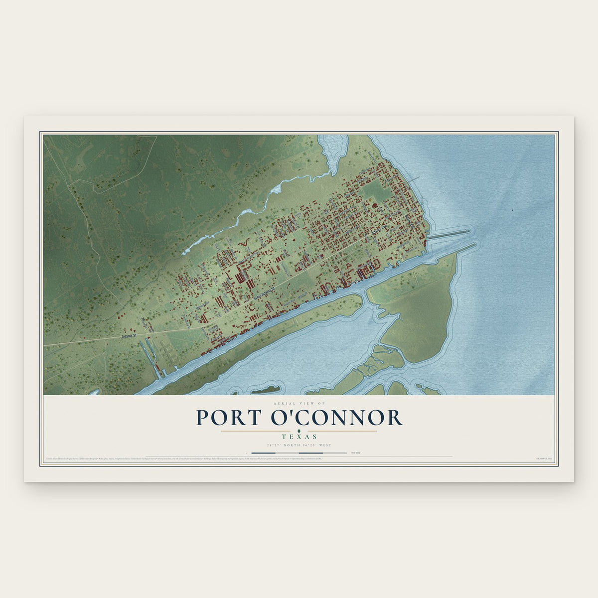
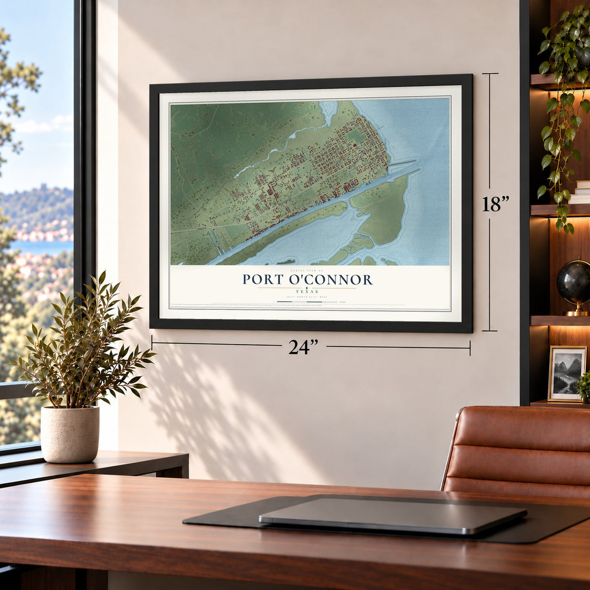
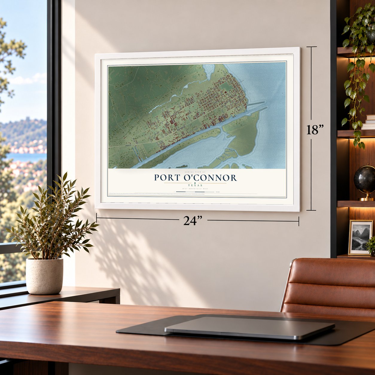
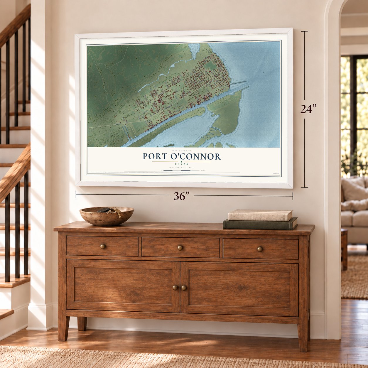
Port O'Connor, Texas Map Art
Building by building, with labeled streets and shaded relief.
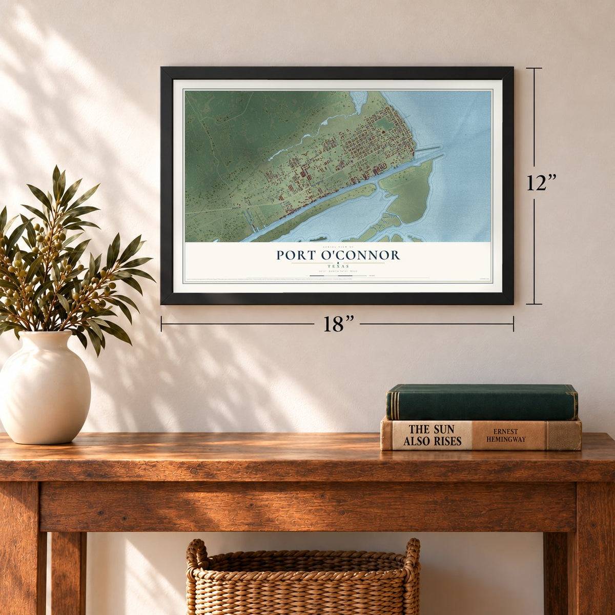
12" x 18" Archival Matte Print
A Map of Home. A Work of Art.
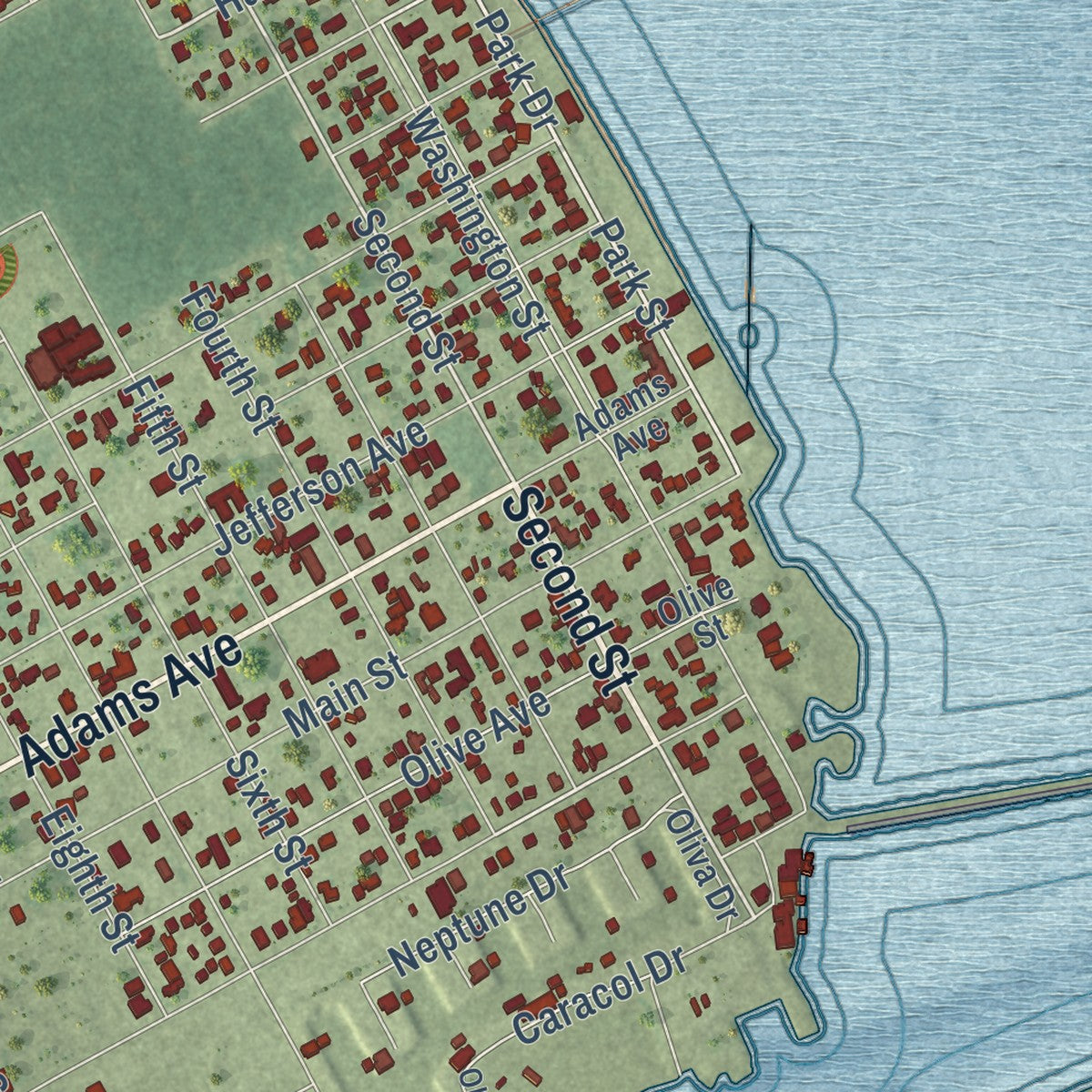
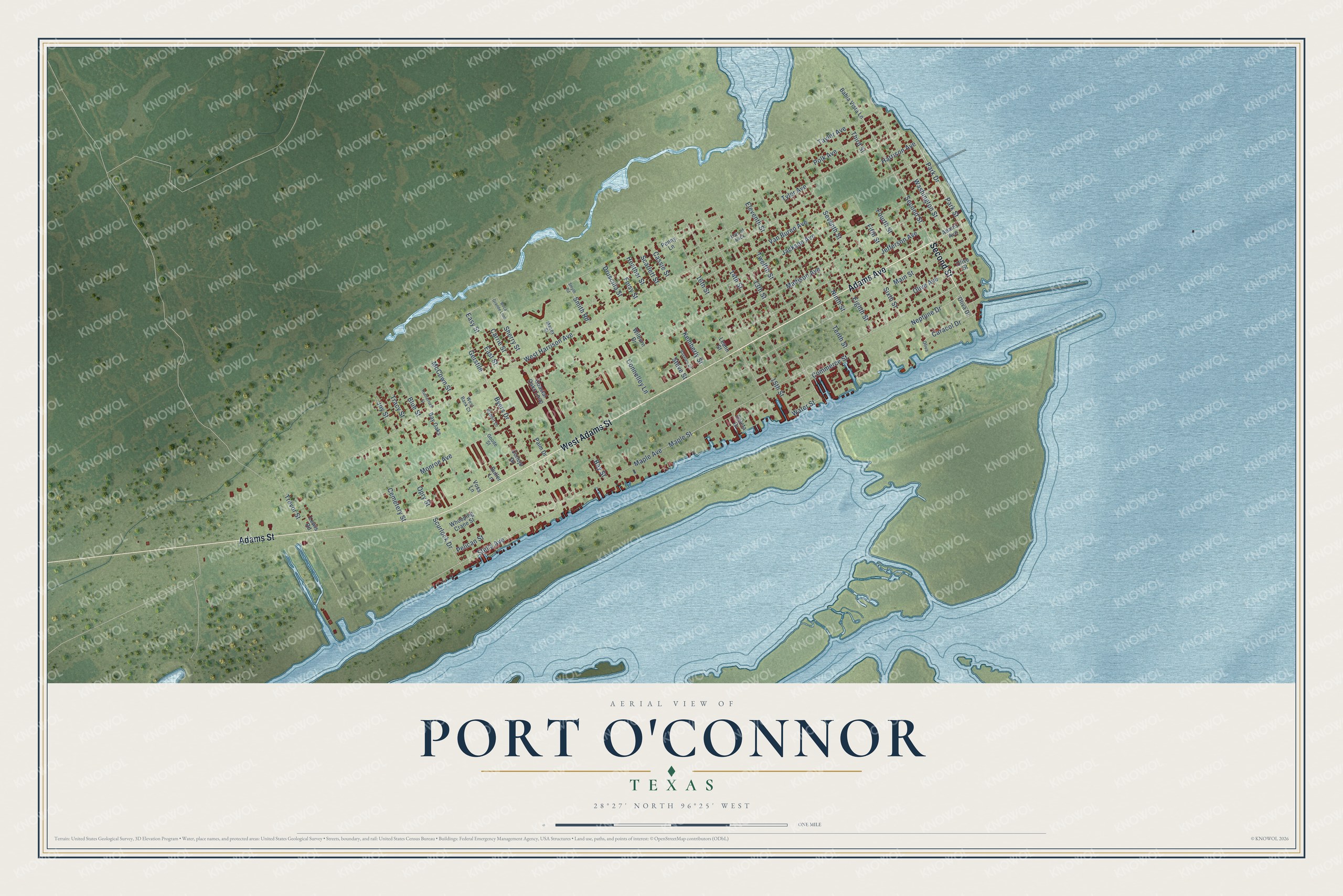
Explore Port O'Connor, Texas from a whole new perspective. Created using aerial imagery and detailed geographic data, this map captures Port O'Connor building by building, with labeled streets, familiar landmarks, and shaded topographical relief that highlights the natural contours of the landscape.
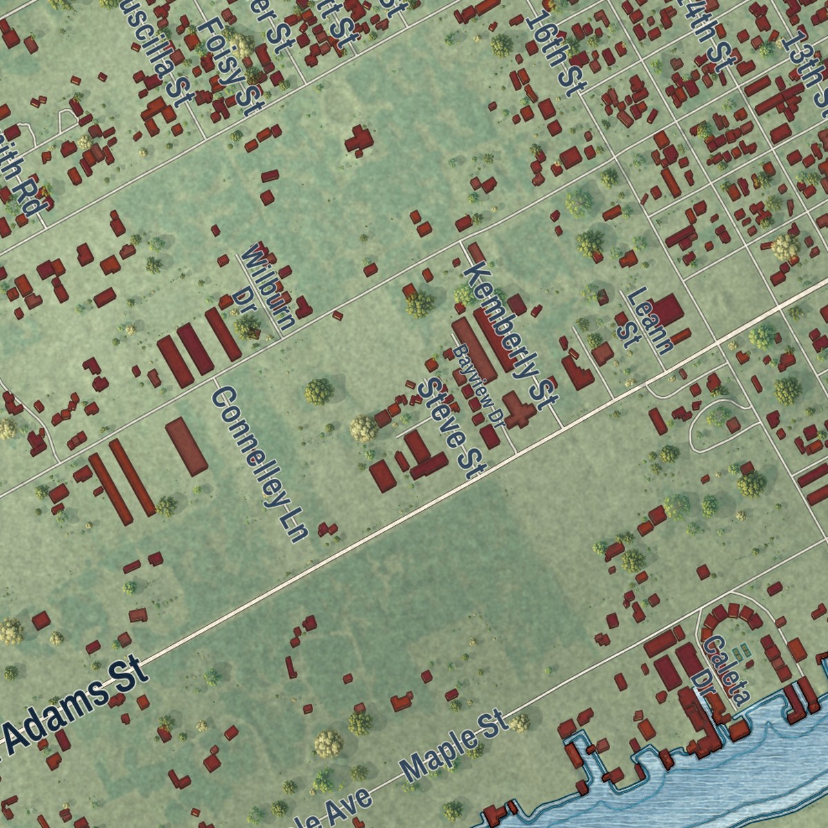
Combining modern data with the timeless character of a vintage atlas, this map is just as interesting up close as it is beautiful on the wall. Whether you grew up in Port O'Connor, spent memorable years there, or call it home today, this unique map is a great way to celebrate a place that means something to you. Zoom in on the preview to look for your street, and then order a print to put your memories on the wall.
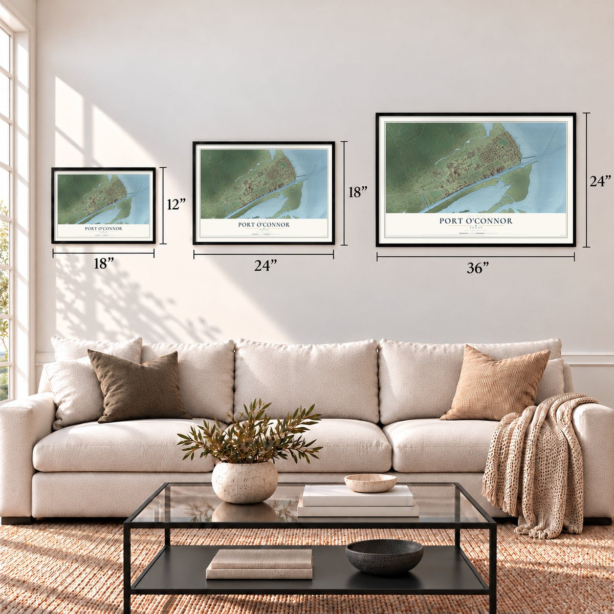
Three ways to hang it
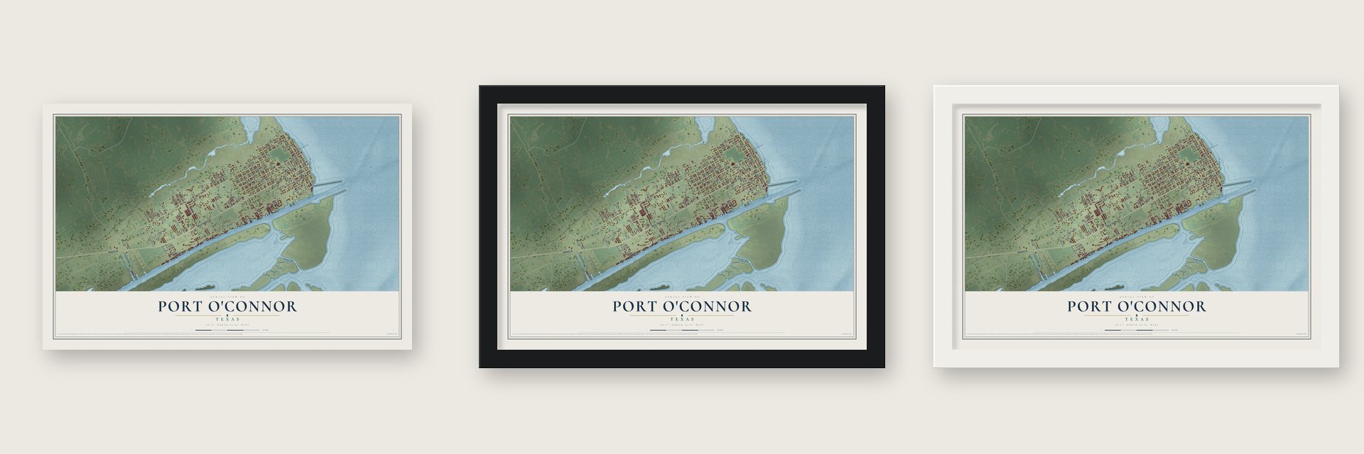
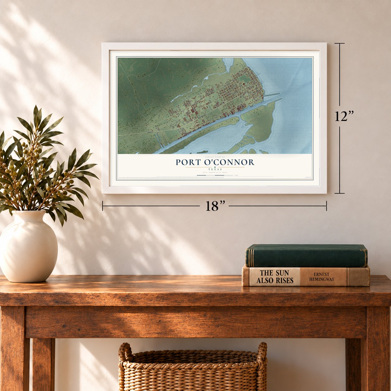
Unframed archival matte, a black wood frame or a white wood frame.
Up close
Geography Worth Displaying
This map was created using accurate cartographic data and authoritative geographic sources, including the U.S. Geological Survey and the Census Bureau. The map brings together terrain, waterways, roads, and building detail. The majority of the streets are labeled, houses are accurately depicted, and the topography is derived from government sources. Combining local data with carefully composed color and shading leads to this beautifully detailed Port O'Connor artwork for your wall.
Rather than simply showing street outlines, we’ve included as many of the street names as we could reasonably fit on the map while keeping their names legible. Zoom in on the high resolution preview to see exactly what’s on the map. We truly set out to create a statement piece for anyone who loves Port O'Connor. So whether it’s for you, or a gift for someone you love, we hope this map of Port O'Connor brings back fond memories.
Read the story behind this map of Port O'Connor, Texas from 2026.
Find your street
Names on the Port O'Connor map
Every name below is printed on this map. Look for your street, your school, the park where you played, or the pond down the road.
Streets and roads90
- Second Street
- Adams Avenue
- Adams Street
- West Adams Street
- Park Street
- Park Drive
- Maple Street
- Harrison Avenue
- Stella Avenue
- Byers Drive
- 13th Street
- Easy Street
- Water Street
- Scurlock Drive
- Monroe Avenue
- West Harrison Avenue
- Maple Avenue
- Washington Street
- Jefferson Avenue
- Seventh Street
- Main Street
- 14th Street
- 15th Street
- Van Buren Avenue
- Madison Avenue
- 16th Street
- Third Street
- Tyler Avenue
- Tenth Street
- Jackson Avenue
Show all 90 streets
- Eighth Street
- Sixth Street
- Fifth Street
- Olive Avenue
- Twelfth Street
- Eleventh Street
- Ninth Street
- Fourth Street
- Polk Avenue
- Taylor Avenue
- Commerce Street
- Carrie Street
- Trevor Street
- Neptune Drive
- Cemetery Street
- Caracol Drive
- Kemberly Street
- Tracy Street
- Joy Street
- Heather Street
- Smith Road
- Scarlett Street
- Gerstile
- East Street
- Druscilla Street
- Cassie Street
- McCown Street
- Foisy Street
- Opry Street
- Blue Street
- Sherry Street
- Connelley Lane
- Pelican Street
- Bay Street
- Steve Street
- Olive Street
- Coastal Oaks Loop
- Conejo Drive
- Bahia Vista Lane
- Whooping Crane Street
- Bay Oaks
- Lewis Road
- Oliva Drive
- Palm Drive
- Wilburn Drive
- Leann Street
- Butler Lane
- Penny Lane
- Caleta Drive
- Voss Lane
- Oliva
- Macey Street
- Rabbit Drive
- West Bank Court
- Goode Street
- Lots of Luck
- Boca Grande Loop
- Smyth Road
- Bayview Drive
- Rutherford Street
Names are listed as they appear on the printed map. Zoom into the product photos to find them.
About Port O’Connor, Texas
Port O'Connor was laid out in 1909 by the Calhoun Cattle Company on the 70,000-acre Alligator Head Ranch, which had belonged to Thomas M. O'Connor. The railroad reached the new town by 1911, and it was named for O'Connor. By 1914 it was a summer resort, with a hotel and a bathing and dance pavilion for visitors.
Hurricane Carla came ashore at Port O'Connor in 1961 and leveled the town, destroying its five-block downtown. The town rebuilt and grew again, and by 1969 it had 1,010 people.
Keep exploring Texas
Port O'Connor is one of 2,049 Texas towns we've mapped. Every dot on the map is a print of its own.
The search covers every state, Texas first.
Near Port O'Connor
Order 2 or more town maps and save 10%. Shown in the size and finish you picked above, so they hang as a set.
- Magnolia Beach 12" x 18" / Archival Matte Print $39.99
- Alamo Beach 12" x 18" / Archival Matte Print $39.99
- Port Lavaca 12" x 18" / Archival Matte Print $39.99


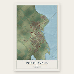
More maps nearby: Point Comfort, Seadrift, Palacios, Austwell and Lolita.
The art of mapping a place
How This Map Was Made
Real places. Remarkable detail. Discover the layers that turn geographic data into a map of home.

The view from above
Aerial imagery reveals the character of the land: woodland, open fields, and the patterns of a place.

The shape of the land
Elevation data brings hills, valleys, and subtle changes in the landscape into view.

The details of home
Roads, waterways, and building footprints come together to make the map feel unmistakably local.

Geography becomes art
Considered color, shading, and typography bring the layers together in a map made for your wall.


Process illustrated with Mendon, Massachusetts. Aerial imagery: USDA NAIP. Terrain: USGS 3D Elevation Program. Map details and finished artwork: KNOWOL.
The Details
About This Print
Choose an archival matte print, or a black or white Ayous wood frame. The archival matte print is unframed.
Select your size and finish above to see the matching product image and price.
Materials & Craftsmanship
A contemporary map with the character of a classic atlas, printed on archival matte paper. Optional frames are made from Ayous wood.
Your printed map does not include the watermark shown in the full-map preview.
Shipping & Delivery
Free shipping within the United States. Every print is made to order in the USA.
Buying a gift? Add a note in your cart and we'll include it. We never put prices in the package.
Prints ship within 2 to 3 business days. Allow 7 to 10 days total from ordering for delivery. Timing may vary during holidays or periods of high order volume.
Read our shipping policy.
Returns and damaged prints
Each print is made to order. Change-of-mind refunds are not available after production.
If your print arrives damaged, misprinted or incorrect, contact support@knowol.com within 30 days of receiving it. Include your order number, photos and a description of the issue.
Read our full refund and replacement policy. For questions about your order, email support@knowol.com.