
Search for another town


Free U.S. delivery 7 to 10 days after you order
Poultney, Vermont Map Art
Building by building, with labeled streets and shaded relief.
12" x 18" Archival Matte Print
A Map of Home. A Work of Art.
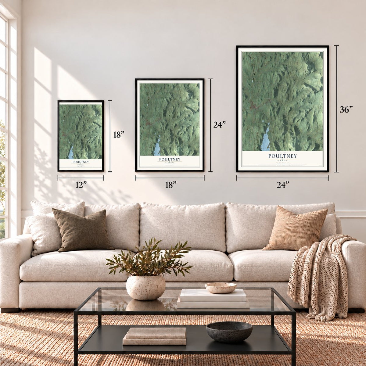
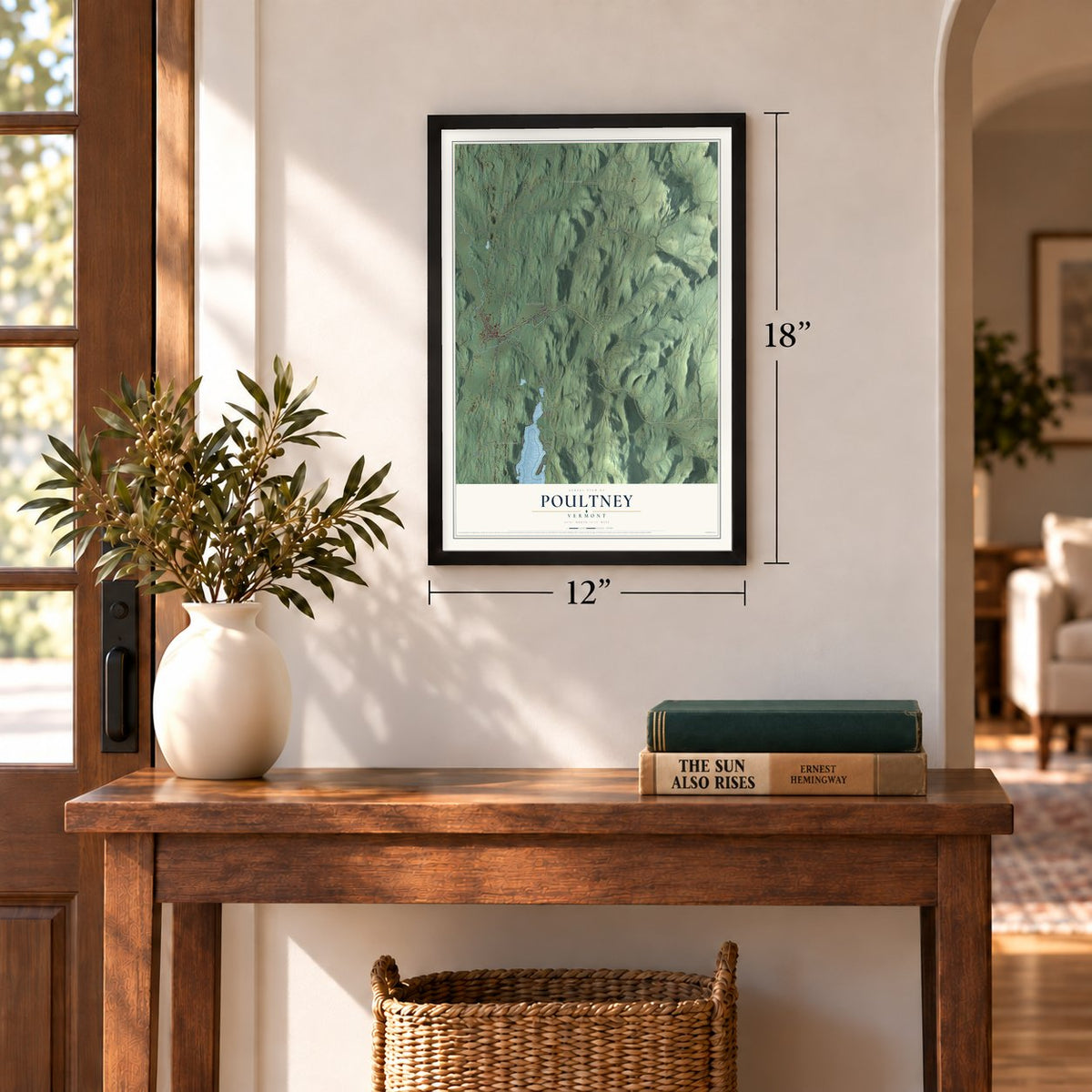
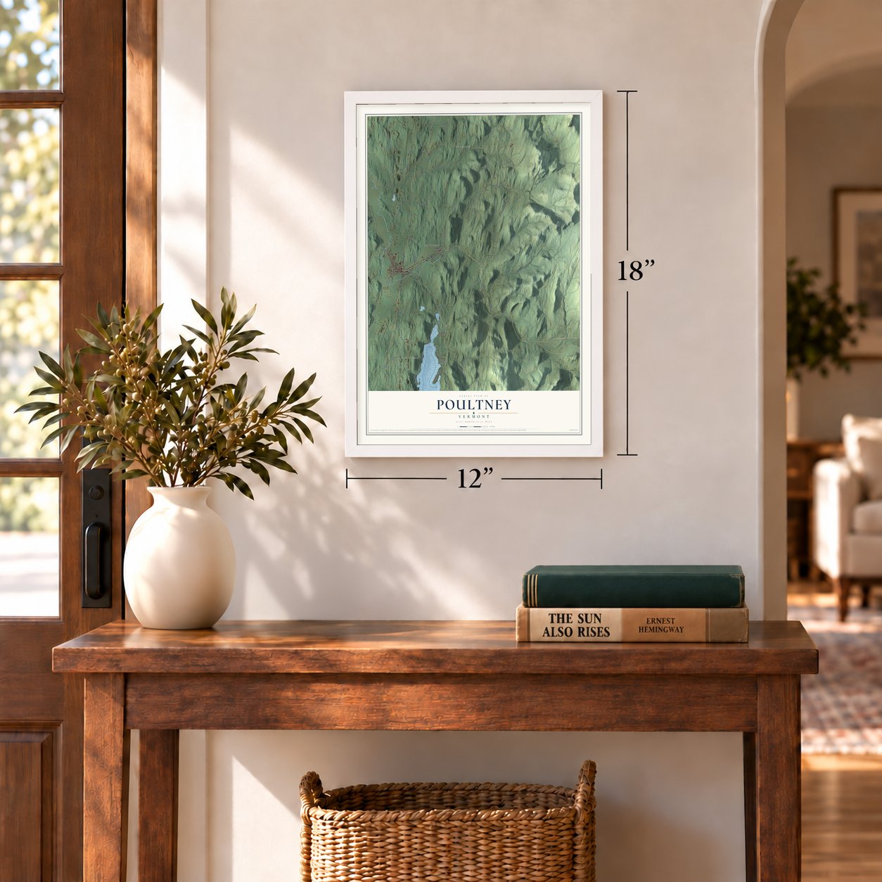
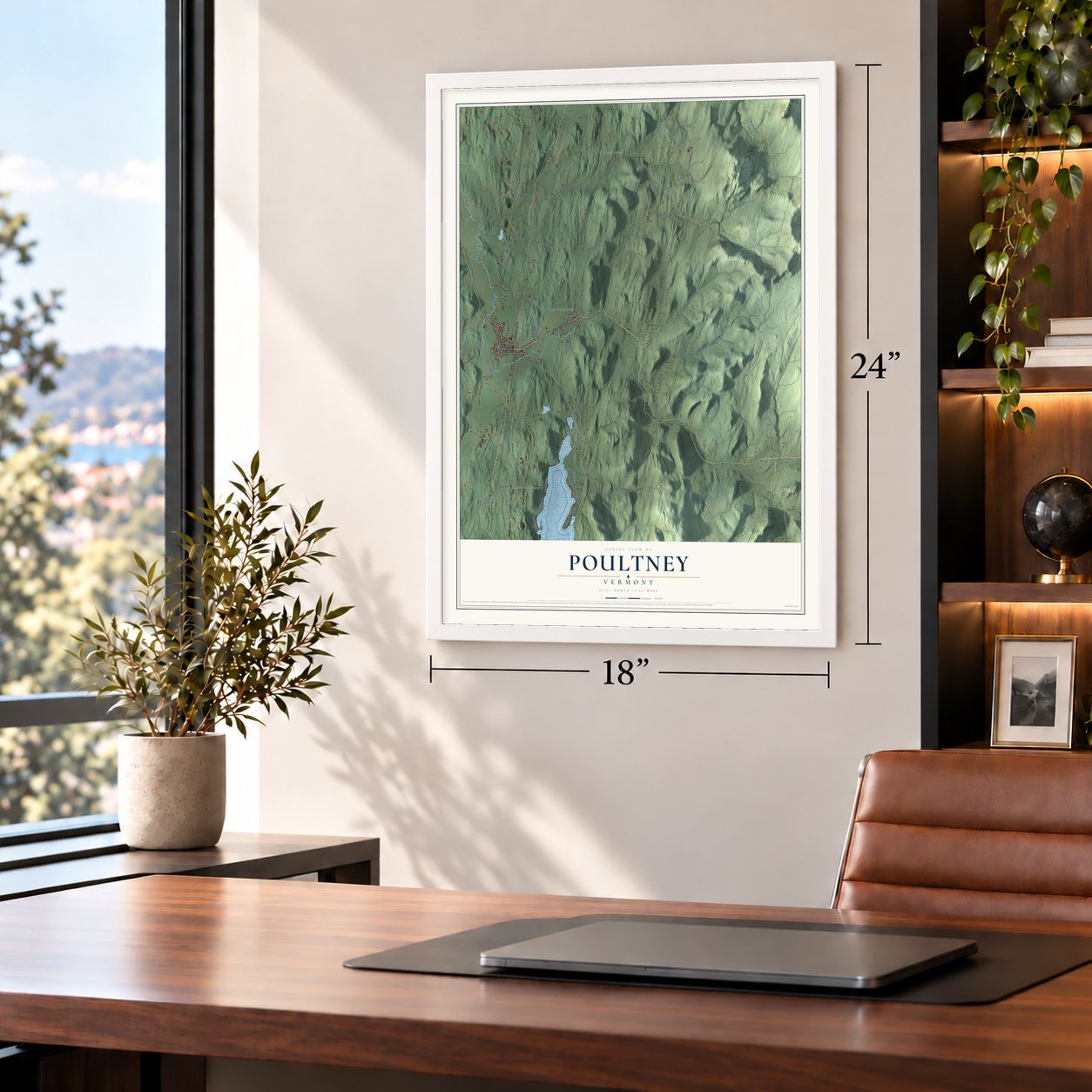
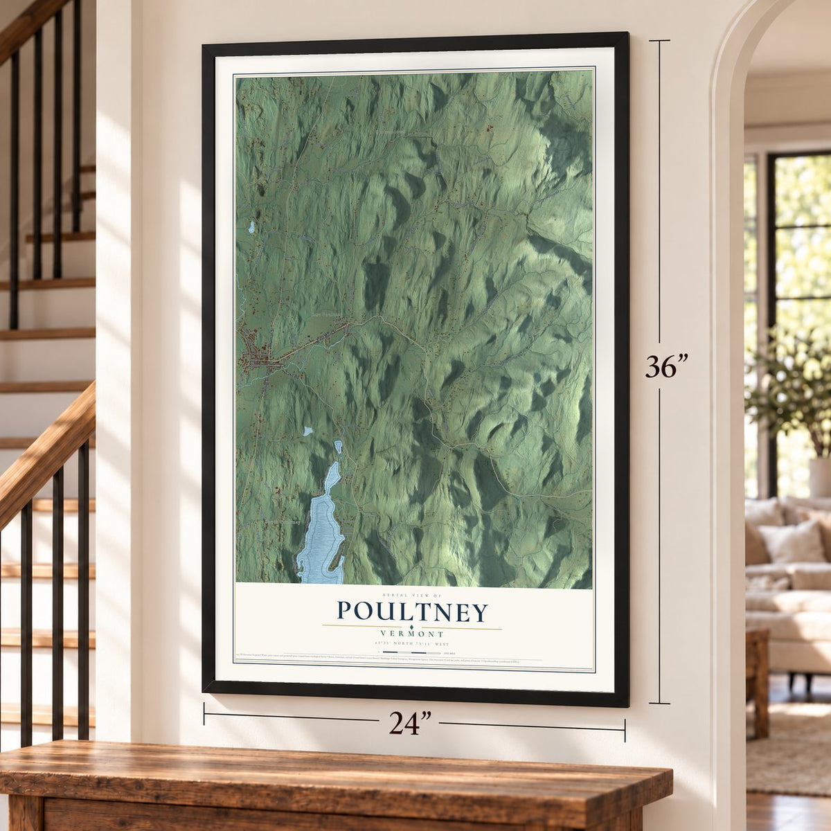
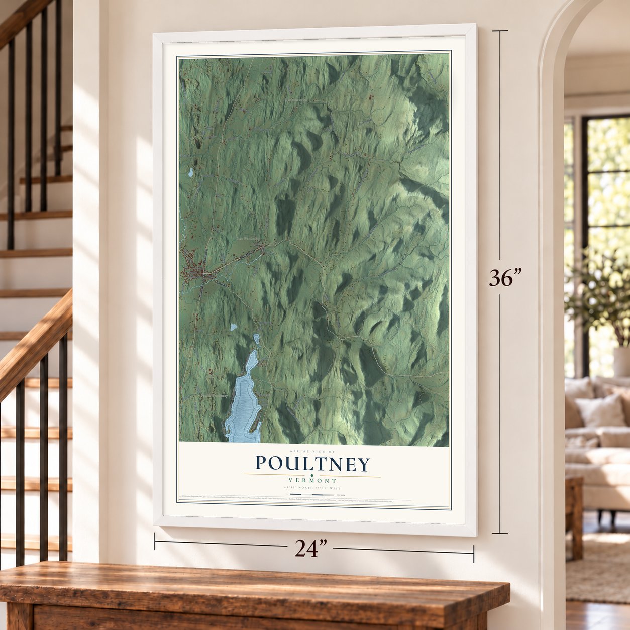
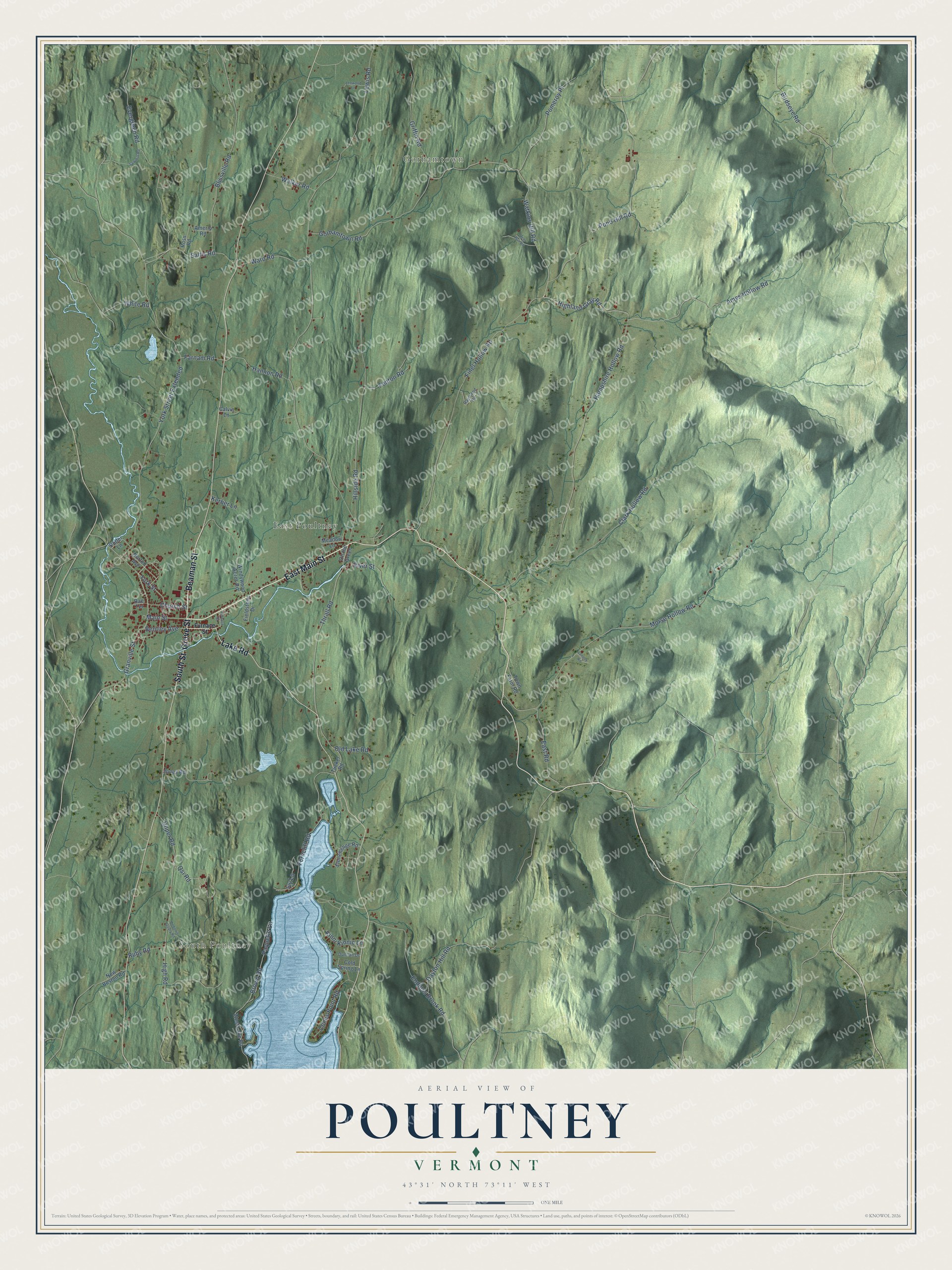
Explore Poultney, Vermont from a whole new perspective. Created using aerial imagery and detailed geographic data, this map captures Poultney building by building, with labeled streets, familiar landmarks, and shaded topographical relief that highlights the natural contours of the landscape.
Combining modern data with the timeless character of a vintage atlas, this map is just as interesting up close as it is beautiful on the wall. Whether you grew up in Poultney, spent memorable years there, or call it home today, this unique map is a great way to celebrate a place that means something to you. Zoom in on the preview to look for your street, and then order a print to put your memories on the wall.
Three ways to hang it
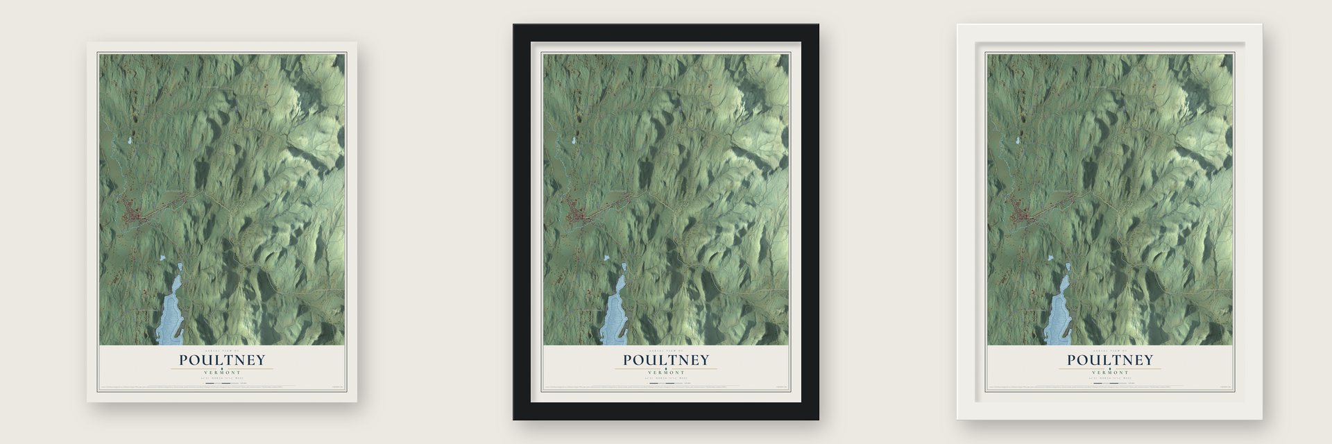
Unframed archival matte, a black wood frame or a white wood frame.
Up close
Geography Worth Displaying
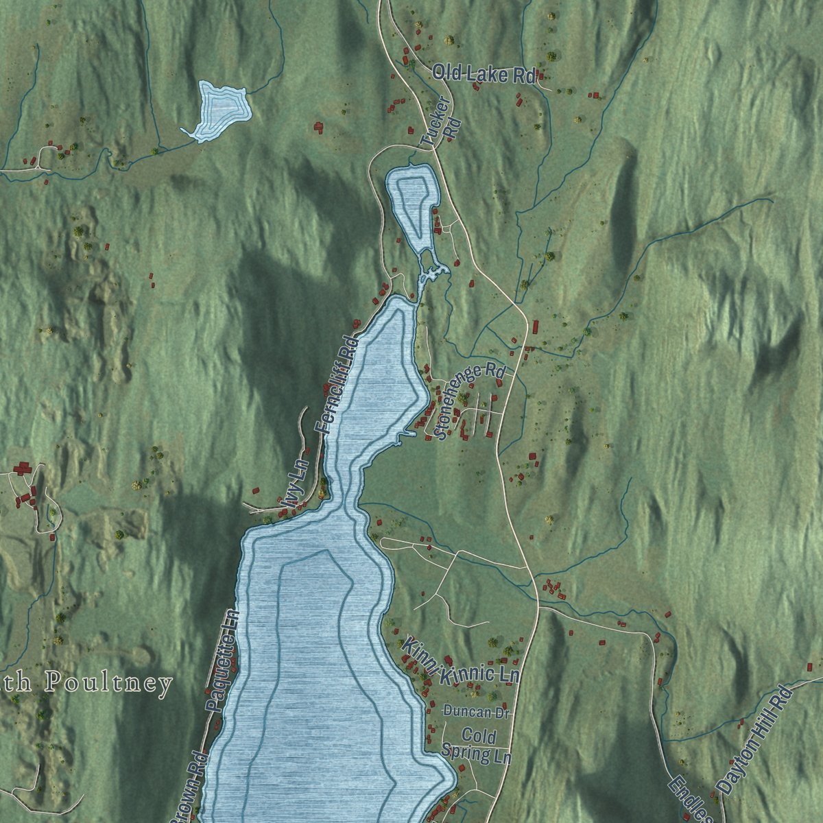
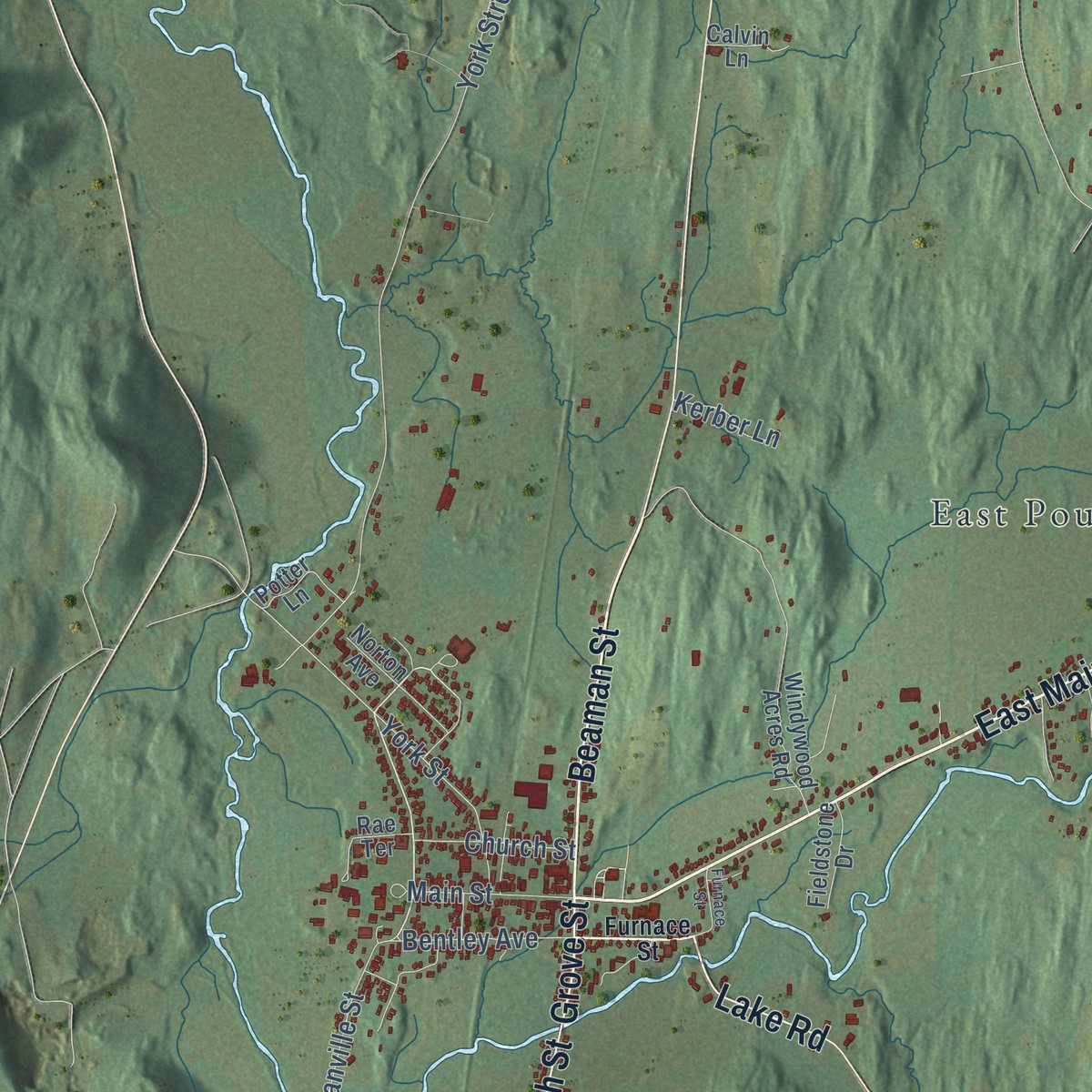
This map was created using accurate cartographic data and authoritative geographic sources, including the U.S. Geological Survey (USGS) and FEMA. The map brings together terrain, waterways, roads, and building detail. The majority of the streets are labeled, houses are accurately depicted, and the topography is derived from government sources. Combining local data with carefully composed color and shading leads to this beautifully detailed Poultney artwork for your wall.
Rather than simply showing street outlines, we’ve included as many of the street names as we could reasonably fit on the map while keeping their names legible. Zoom in on the high resolution preview to see exactly what’s on the map. We truly set out to create a statement piece for anyone who loves Poultney. So whether it’s for you, or a gift for someone you love, we hope this map of Poultney brings back fond memories.
Explore the full map of Poultney, Vermont and read about the local places it shows.
Find your street
Names on the Poultney map
Every name below is printed on this map. Look for your street, your school, the park where you played, or the pond down the road.
Places and landmarks3
- South Poultney
- Gorhamtown
- East Poultney
Streets and roads76
- East Main Street
- Beaman Street
- Grove Street
- South Street
- Lake Road
- Highland Gray Road
- Pond Hill Road
- Watkins Hill Road
- Ames Hollow Road
- Thrall Road
- Brown Road
- Saltis Road
- Paquette Lane
- East Road
- York Street
- Farnam Road
- Lewis Road
- York Street Extended
- Hampshire Hollow Road
- Morse Hollow Road
- Finel Hollow Road
- Hillside Road
- Blissville Road
- Upper Road
- Ferncliff Road
- Evergreen Road
- Endless Brook Road
- Gorhamtown Road
- Birdseye Road
- Clark Hollow Road
Show all 76 streets
- Pomeroy Place
- Griffin Road
- High Road
- Dayton Hill Road
- Granville Street
- Cones Point Road
- Old Lake Road
- Hannon Road
- River Street
- Ward Road
- Walker Road
- Fenton Road
- Qsi Road
- Bentley Avenue
- Kinni Kinnic Lane
- Main Street
- Church Street
- Ruby Road
- Ivy Lane
- Kerber Lane
- White Road
- On the Green
- Ross Road
- Windywood Acres Road
- West Lake Road
- Stonehenge Road
- Jones Road
- Amerio Road
- New Boston Road
- Meadow Lane
- Norton Avenue
- Town Farm Road
- Rae Terrace
- Cold Spring Lane
- Fieldstone Drive
- Tucker Road
- Calvin Lane
- Potter Lane
- Furnace Street
- Raymond Road
- Duncan Drive
- Debonis Quary Road
- Lenwood Lane
- Deer Run Road
- Sawmill Road
- Lennox Road
Names are listed as they appear on the printed map. Zoom into the product photos to find them.
About Poultney, Vermont
Poultney is a town of 3,020 people in Rutland County, on the New York line west of the Taconic Mountains. Benning Wentworth, royal governor of New Hampshire, chartered it on September 21, 1761, naming it for the British orator William Pulteney, 1st Earl of Bath. The land sat empty until February 15, 1771, when two brothers-in-law, Thomas Ashley and Ebenezer Allen, put up a cabin beside the Poultney River.
The settlers organized the town on March 8, 1775, but war soon reached them. In 1777 General John Burgoyne's British army pushed down from the north, so the men went off to fight, and on July 8 the women and children fled, most of them to their old homes in Connecticut and Massachusetts. After Burgoyne's defeat they came back the next spring. Allen moved on to settle South Hero in 1783, while Ashley stayed in the house he had built until his death in 1810 and served six times in the General Assembly.
- Where Horace Greeley learned printingHorace Greeley was fifteen in 1826 when he came to East Poultney as an apprentice printer at the Northern Spectator, under Amos Bliss. He remained until 1830 and went on to found the New-York Tribune. Poultney native George Jones, born in 1811, also worked at the Spectator. At Greeley's Tribune he met Henry Jarvis Raymond, and they started the New-York Daily Times in 1851.
- Jeffrey Brace, soldier and citizenBorn Boyrereau Brinch in West Africa, Jeffrey Brace was seized as a boy and enslaved. He fought in the Revolution under Return Meigs at White Plains and Fort Mifflin and left the army at West Point in 1783 with an honorable discharge and a Badge of Merit. Once free, he made his home in Poultney, which counts him as its first African-American citizen, and Benjamin Prentiss published the story of his life.
- The green at East PoultneyA grist mill went up in 1777, and East Poultney, the first town center, grew around it. Its triangular green still looks much as it did in the 1800s. Around it stand the Eagle Tavern of 1780, the Union Academy of 1791, the Federal style Baptist church that builder Elisha Scott designed in 1805, and the Horace Greeley House of 1823.
- Slate and the WelshIn the second half of the 1800s, slate from Poultney's quarries became a major export, and the Rutland and Washington Railroad helped the western village of Poultney outgrow East Poultney. Welsh slate workers, facing hard times and few chances to rise at home, brought their skills here. The industry lasted until the Great Depression, and the Green Mountain College choir was said to sing the only fully Welsh repertoire in the country.
- Green Mountain College, 1834Troy Conference Academy opened in 1834 as a Methodist school where boys and girls studied together, and it grew into Green Mountain College. For part of its history the school admitted only women. In the late 1990s it shifted its teaching toward the environment. The designer Amsale Aberra came from Ethiopia at nineteen to study commercial art there. The college closed in 2019.
Keep exploring Vermont
Poultney is one of 333 Vermont towns we've mapped. Every dot on the map is a print of its own.
The search covers every state, Vermont first.
Near Poultney
Order 2 or more town maps and save 10%. Shown in the size and finish you picked above, so they hang as a set.
- East Poultney 12" x 18" / Archival Matte Print $39.99
- Middletown Springs 12" x 18" / Archival Matte Print $39.99
- Ira 12" x 18" / Archival Matte Print $39.99
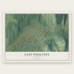
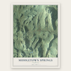

More maps nearby: Wells, Castleton Four Corners, Castleton, Fair Haven and Tinmouth.
The art of mapping a place
How This Map Was Made
Real places. Remarkable detail. Discover the layers that turn geographic data into a map of home.

The view from above
Aerial imagery reveals the character of the land: woodland, open fields, and the patterns of a place.

The shape of the land
Elevation data brings hills, valleys, and subtle changes in the landscape into view.

The details of home
Roads, waterways, and building footprints come together to make the map feel unmistakably local.

Geography becomes art
Considered color, shading, and typography bring the layers together in a map made for your wall.


Process illustrated with Mendon, Massachusetts. Aerial imagery: USDA NAIP. Terrain: USGS 3D Elevation Program. Map details and finished artwork: KNOWOL.
The Details
About This Print
Choose an archival matte print, or a black or white Ayous wood frame. The archival matte print is unframed.
Select your size and finish above to see the matching product image and price.
Materials & Craftsmanship
A contemporary map with the character of a classic atlas, printed on archival matte paper. Optional frames are made from Ayous wood.
Your printed map does not include the watermark shown in the full-map preview.
Shipping & Delivery
Free shipping within the United States. Every print is made to order in the USA.
Buying a gift? Add a note in your cart and we'll include it. We never put prices in the package.
Prints ship within 2 to 3 business days. Allow 7 to 10 days total from ordering for delivery. Timing may vary during holidays or periods of high order volume.
Read our shipping policy.
Returns and damaged prints
Each print is made to order. Change-of-mind refunds are not available after production.
If your print arrives damaged, misprinted or incorrect, contact support@knowol.com within 30 days of receiving it. Include your order number, photos and a description of the issue.
Read our full refund and replacement policy. For questions about your order, email support@knowol.com.