
Search for another town




Free U.S. delivery 7 to 10 days after you order
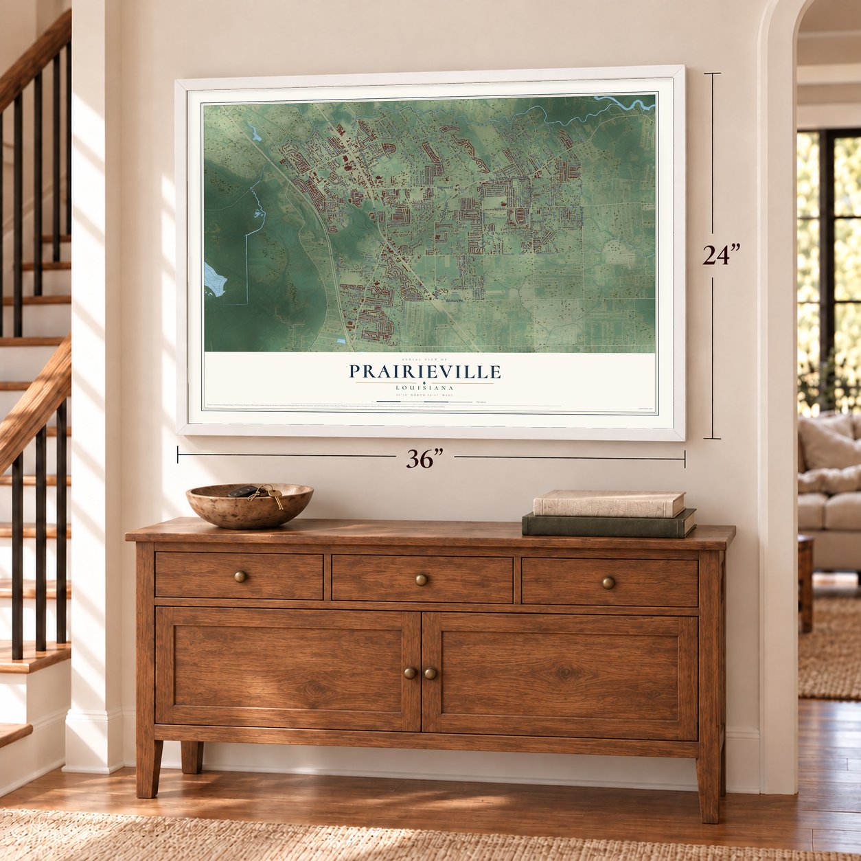
Prairieville, Louisiana Map Art
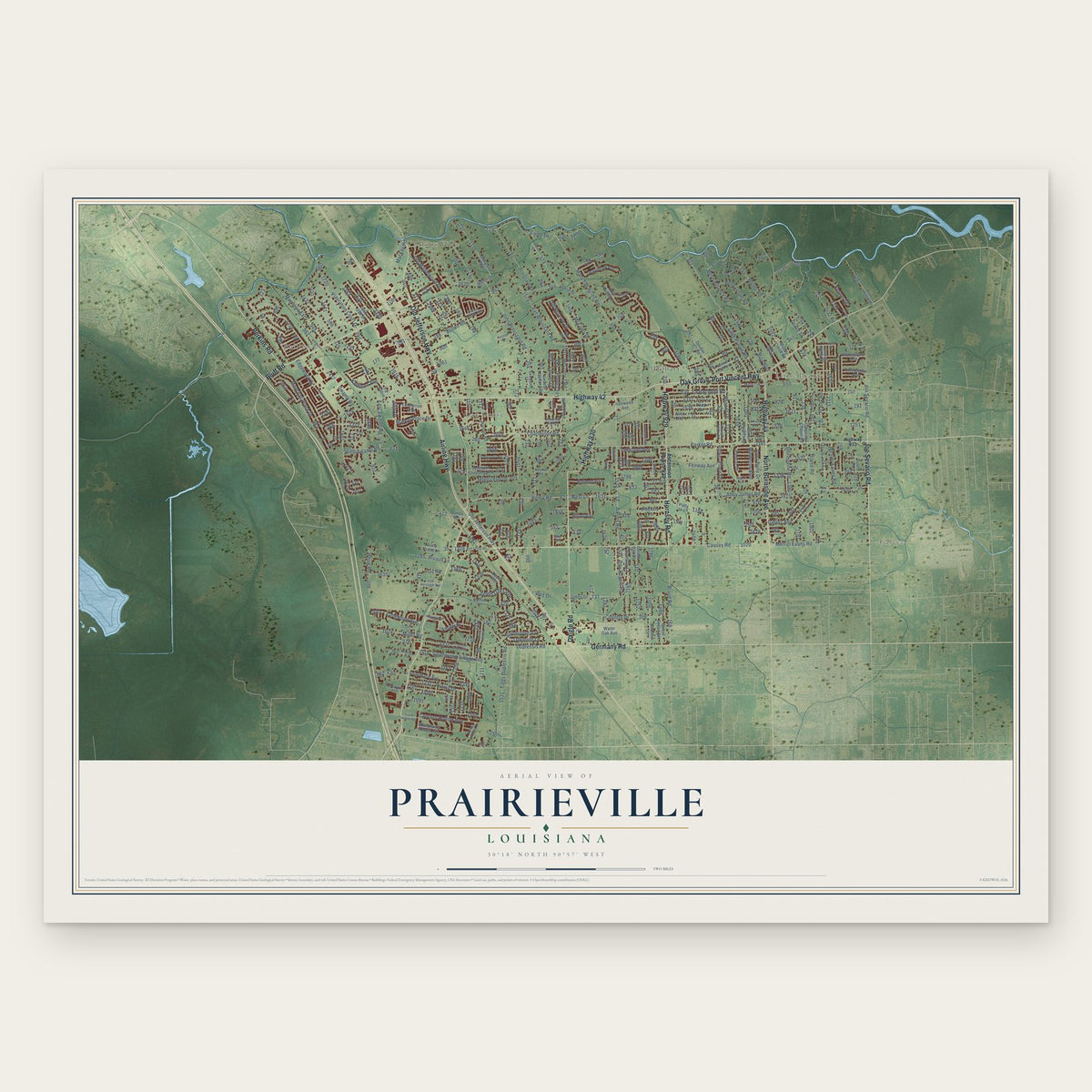
A new map of Prairieville, Louisiana, made in 2026 and printed to order on thick archival matte paper.
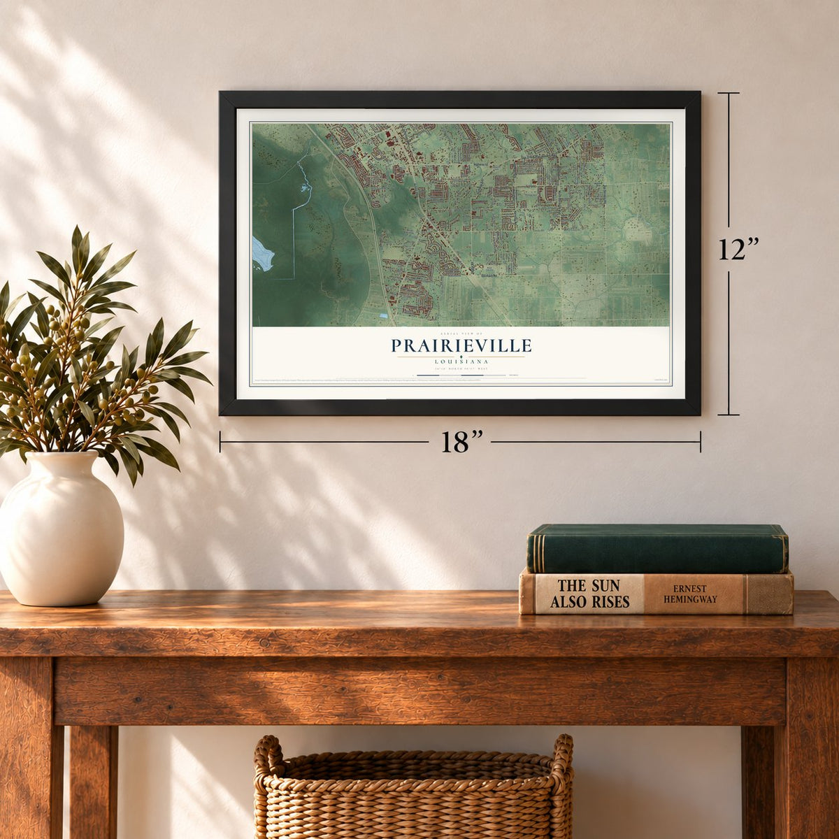
12" x 18" Archival Matte Print
A Map of Home. A Work of Art.
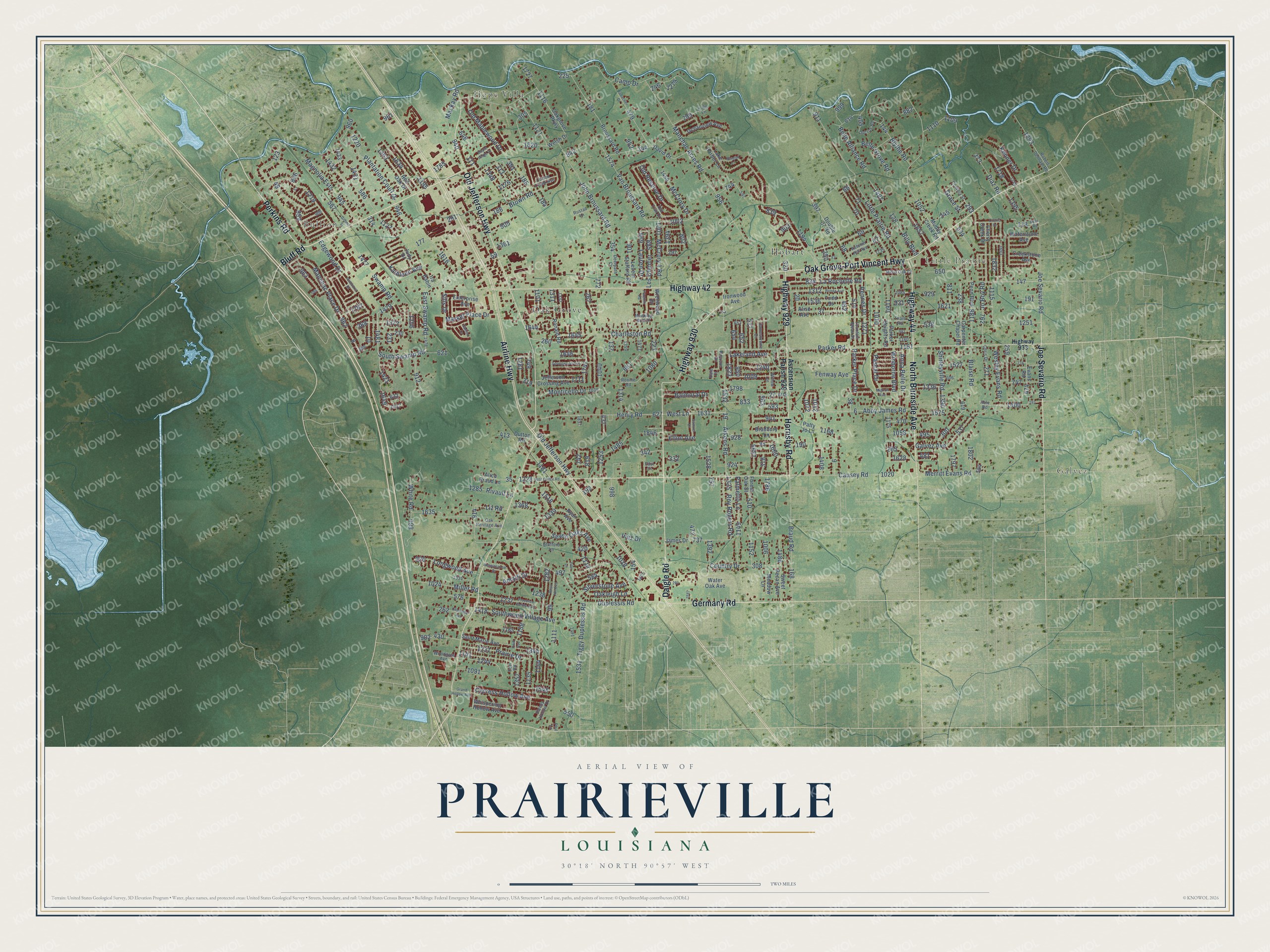
Explore Prairieville, Louisiana from a whole new perspective. Created using aerial imagery and detailed geographic data, this map captures Prairieville building by building, with labeled streets, familiar landmarks, and shaded topographical relief that highlights the natural contours of the landscape.
Combining modern data with the timeless character of a vintage atlas, this map is just as interesting up close as it is beautiful on the wall. Whether you grew up in Prairieville, spent memorable years there, or call it home today, this unique map is a great way to celebrate a place that means something to you. Zoom in on the preview to look for your street, and then order a print to put your memories on the wall.
Three ways to hang it
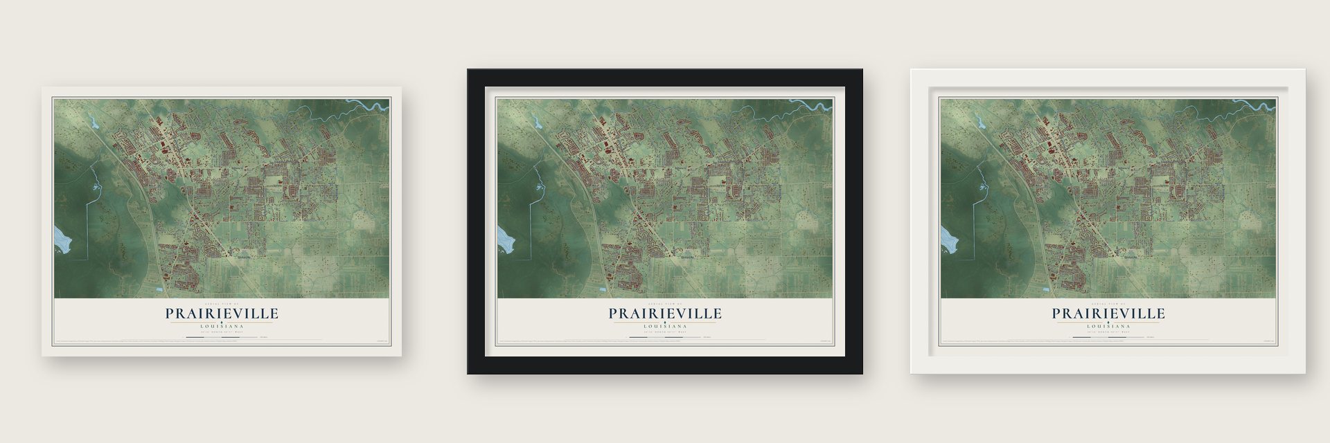
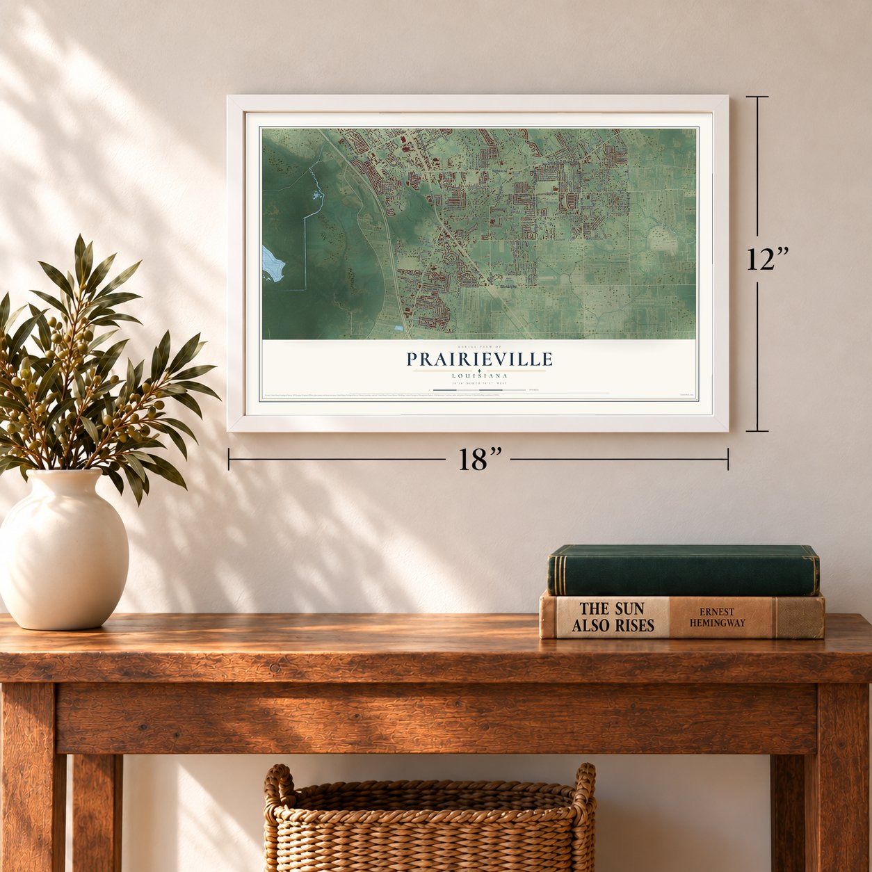
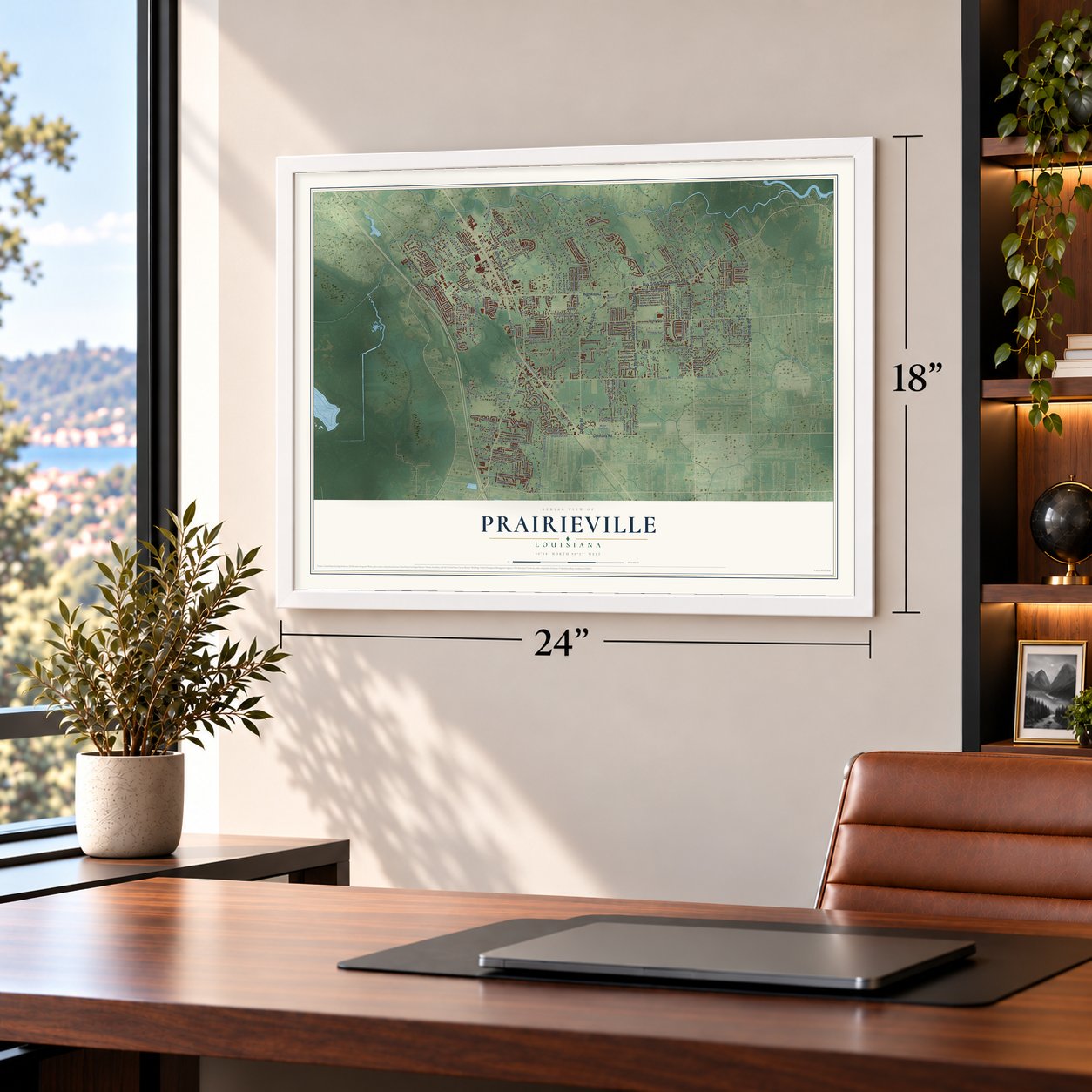
Unframed archival matte, a black wood frame or a white wood frame.
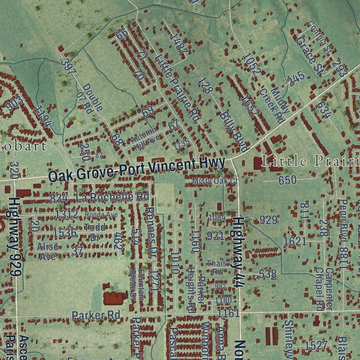
Up close
Geography Worth Displaying
This map was created using accurate cartographic data and authoritative geographic sources, including the U.S. Geological Survey and the Census Bureau. The map brings together terrain, waterways, roads, and building detail. The majority of the streets are labeled, houses are accurately depicted, and the topography is derived from government sources. Combining local data with carefully composed color and shading leads to this beautifully detailed Prairieville artwork for your wall.
Rather than simply showing street outlines, we’ve included as many of the street names as we could reasonably fit on the map while keeping their names legible. Zoom in on the high resolution preview to see exactly what’s on the map. We truly set out to create a statement piece for anyone who loves Prairieville. So whether it’s for you, or a gift for someone you love, we hope this map of Prairieville brings back fond memories.
Read the story behind this map of Prairieville, Louisiana from 2026.

About Prairieville, Louisiana
Prairieville is an unincorporated community of 33,197 people in Ascension Parish, south of Baton Rouge and north of Gonzales. It took its name from the open pastures and prairies that people once saw along Jefferson Highway and Airline Highway. The town sat 4 miles east of the railroad at Bullion, and Donaldsonville, the parish seat, lay about 20 miles to its south.
Over the years houses replaced the prairies, as families left Baton Rouge for Prairieville's strong public schools and low crime. In 1992 the pasture of the Phillips Farm was sold, and the Seven Oaks subdivision, with 250 residents, grew up around the old farmhouse. Today Prairieville has more people than Donaldsonville and Gonzales combined. Incorporated, it would be the biggest city in Ascension Parish.
- The Phillips FarmA farmhouse lined with live oaks and ringed by a white plank fence was long the best-known property in Prairieville. After the death of Dr. Carey A. Phillips, the house and its 40-acre tract were sold at auction in 2006 and turned into a cemetery, Oak Lane Memorial Park. The farmhouse is still a local landmark.
- A No. 1 hit in 1963Grace Broussard of Prairieville teamed up with Dale Houston as the duo Dale and Grace, and their record "I'm Leaving It Up to You" went to No. 1 in 1963.
- Scooby-Doo and an OlympianPrairieville has been home to Scott Innes, the voice actor best known for playing Scooby-Doo, and to Lolo Jones, the former LSU track star who became an Olympic athlete.
Find your street
Names on the Prairieville map
Every name below is printed on this map. Look for your street, your school, the park where you played, or the pond down the road.
Places and landmarks6
- Bullion
- Hope Villa
- Galvez
- Little Prairie
- Hobart
- Oak Grove
Streets and roads176
- Highway 929
- Highway 930
- Perkins Road
- Highway 44
- Old Jefferson Highway
- Airline Highway
- Highway 42
- Daigle Road
- Oak Grove-Port Vincent Highway
- North Burnside Avenue
- Hornsby Road
- Joe Sevario Road
- Germany Road
- Bluff Road
- West Lane
- East Swamp Road
- South Swamp Road
- Lakeland Avenue
- Galvez Avenue
- Henry Road
- Swamp Road
- Anna Belle Drive
- Abby James Road
- Parker Road
- Manchac Acres Road
- Duplessis Road
- Little Prairie Road
- John Broussard Road
- Camp Drive
- Seven Oaks Avenue
Show all 176 streets
- White Road
- Charleston Road
- Tiggy Duplessis Road
- Causey Road
- Merritt Evans Road
- Braud Road
- Brown Road
- Van Broussard Road
- Plantation Court Drive
- Manchac Place Drive
- Blythe Road
- Palmetto Lane
- Magnolia Ests
- Southwood Village Avenue
- Cypress Hollow Avenue
- La Rochelle Road
- Miller Road
- Rennes Drive
- Prairie Drive
- Country Drive
- Old Reserve Drive
- McCrory Drive
- Old Maplewood Drive
- Kathleen Avenue
- Belle Grove Road
- Longwood Avenue
- McCrory 1 Road
- Monticello Drive
- Aikens Road
- Roy Rogers Road
- Mackay Road
- Jo Boy Road
- Silverstone Avenue
- Shirleyville Road
- Belle Alliance Road
- Les Chenier
- Sills Drive
- Wesley Evans Road
- Market Place Drive
- Rivault Lane
- Oakleigh Lane
- Billy Boulevard
- Kenner Drive
- Diaz Road
- Liz Road
- Balmoral Drive
- Winborne Boulevard
- Parker Place Drive
- Amalfi Drive
- Lauren Drive
- Blaise Road
- Pascal Drive
- Fenway Avenue
- Edgewood Drive
- Elliot Avenue
- Grace Street
- Inez Drive
- Ascension Parish 929
- Double 07 Road
- Lake Harbor Lane
- Muddy Creek Road
- Broussard Road
- Penn Boulevard
- David Drive
- Forest Oak Street
- Oakgrove Parkway
- Ryan Avenue
- James Drive
- Carpenter Chapel Road
- Parker Heights Road
- Sweet Pecan Avenue
- Red Oak Drive
- Cherry Creek Drive
- Ronald Road
- Welsh Drive
- Meadow Lane
- Bradbury Lane
- Patty Jo Lane
- Jefferson Crossing Avenue
- Saint Marie Avenue
- Levern Stafford Road
- Todd Drive
- Alise Avenue
- Enterprise Avenue
- Whispering Hollow Avenue
- Evans Road
- Oceanview Avenue
- Dutton Road
- Alice Braud Lane
- Creekstone Avenue
- Water Oak Avenue
- Wrenwood Drive
- Waterstone Avenue
- Ironwood Avenue
- Judy Drive
- Ira Babin
- Highway 933
- Ronnie Road
- Oak Heritage Avenue
- Woodgate Avenue
- Robert Denham Road
- Old Trail Drive
- Deerpath Court
- Ducros Road
- Chris Drive
- K-Ro Lane
- Conthia Street
- Autumn Hill Avenue
- Al Drive
- Fountain Bleau Drive
- Stafford Lane
- Misty Oak Court
- Jamestowne Drive
- Rustad Lane
- Cotton Creek Avenue
- Cori Road
- Sleepy Hollow Drive
- Mocking Bird Drive
- Willow Lane
- Thais Road
- Pearson Drive
- East Court
- Dale Court
- Able Road
- Phil Lane
- Fabacher Drive
- Ronda Avenue
- Provence Pointe Avenue
- Post Office Road
- Beau Jon Avenue
- Springwood Avenue
- Gilbert Street
- Park Avenue
- Charlotte Avenue
- Bess Road
- Mignon Avenue
- Seagull Lane
- Orchid Drive
- Pinehurst Drive
- Maple Ridge Drive
- Samuel Drive
- Renaissance Drive
- Fife Lane
- Grand Hollow Avenue
- Franklin Road
- Gallion Drive
Names are listed as they appear on the printed map. Zoom into the product photos to find them.
The art of mapping a place
How This Map Was Made
Real places. Remarkable detail. Discover the layers that turn geographic data into a map of home.

The view from above
Aerial imagery reveals the character of the land: woodland, open fields, and the patterns of a place.

The shape of the land
Elevation data brings hills, valleys, and subtle changes in the landscape into view.

The details of home
Roads, waterways, and building footprints come together to make the map feel unmistakably local.

Geography becomes art
Considered color, shading, and typography bring the layers together in a map made for your wall.


Process illustrated with Mendon, Massachusetts. Aerial imagery: USDA NAIP. Terrain: USGS 3D Elevation Program. Map details and finished artwork: KNOWOL.
The Details
About This Print
Choose an archival matte print, or a black or white Ayous wood frame. The archival matte print is unframed.
Select your size and finish above to see the matching product image and price.
Materials & Craftsmanship
A contemporary map with the character of a classic atlas, printed on archival matte paper. Optional frames are made from Ayous wood.
Your printed map does not include the watermark shown in the full-map preview.
Shipping & Delivery
Free shipping within the United States. Every print is made to order in the USA.
Buying a gift? Add a note in your cart and we'll include it. We never put prices in the package.
Prints ship within 2 to 3 business days. Allow 7 to 10 days total from ordering for delivery. Timing may vary during holidays or periods of high order volume.
Read our shipping policy.
Returns and damaged prints
Each print is made to order. Change-of-mind refunds are not available after production.
If your print arrives damaged, misprinted or incorrect, contact support@knowol.com within 30 days of receiving it. Include your order number, photos and a description of the issue.
Read our full refund and replacement policy. For questions about your order, email support@knowol.com.
Find your town
Looking for another city?
Find a map of home in our Louisiana collection, or any town in the country.
Nearby
Maps of towns near Prairieville
Know someone from one of these towns? Their map makes a great gift.
 St. George
, Louisiana
From $39.99See the map
 Port Vincent
, Louisiana
From $39.99See the map
 Gonzales
, Louisiana
From $39.99See the map
More maps nearby: French Settlement, St. Gabriel, Sorrento, Gardere and Denham Springs.