
Search for another town

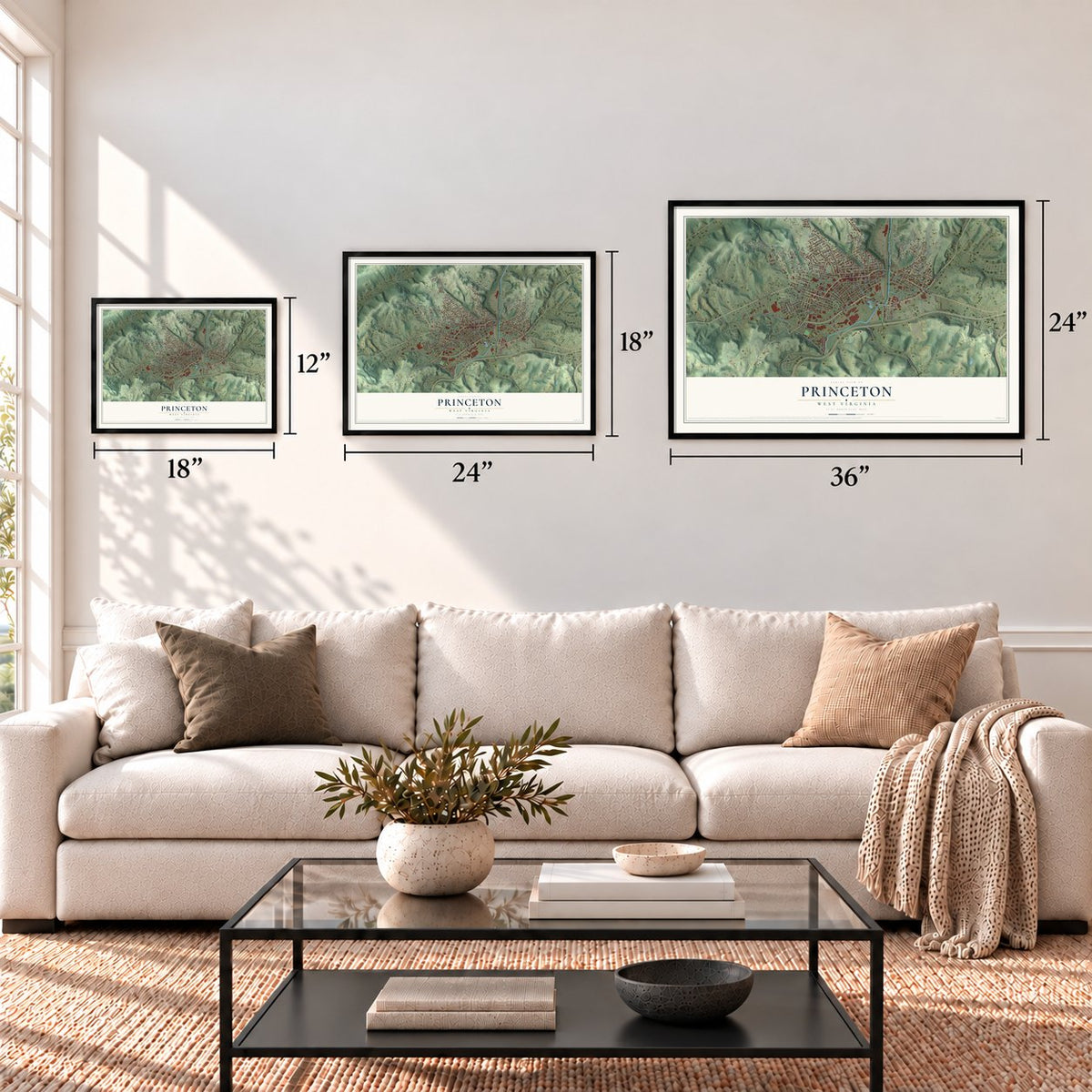
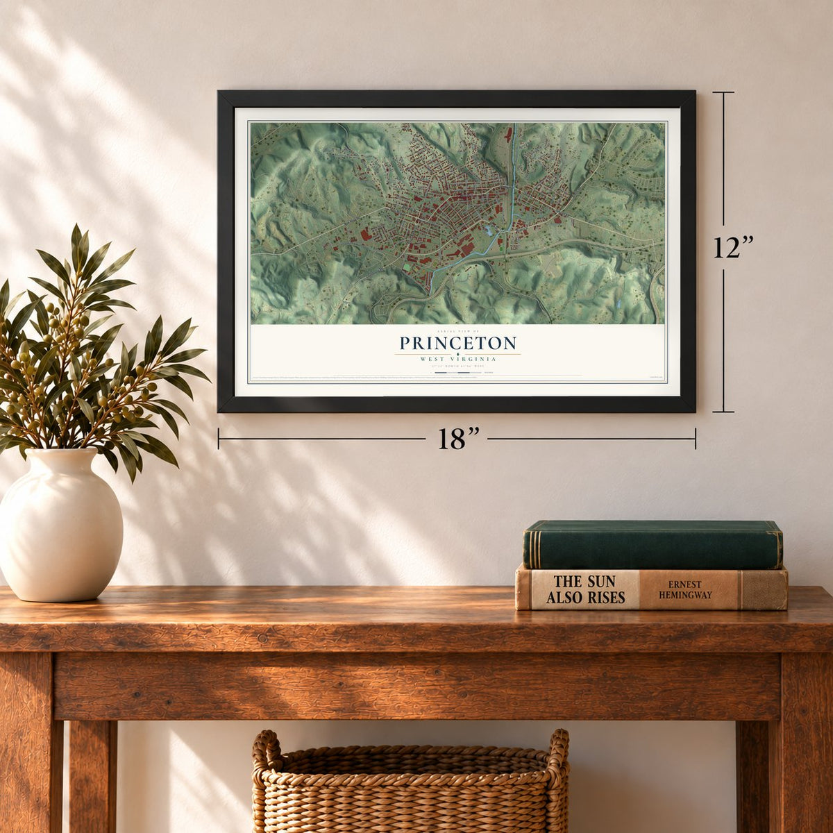
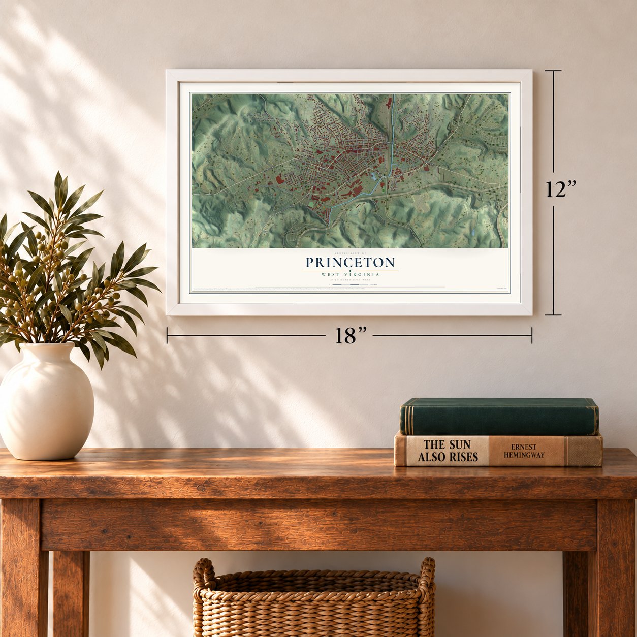

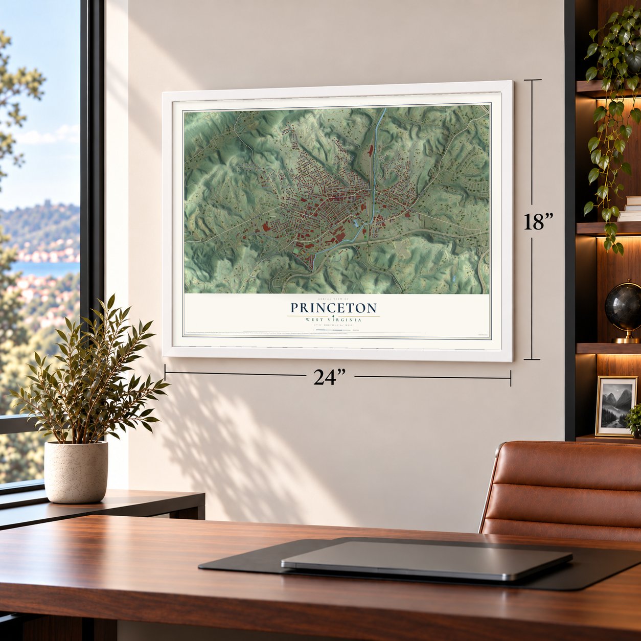

Free U.S. delivery 7 to 10 days after you order
Princeton, West Virginia Map Art
A new map of Princeton, West Virginia, made in 2026 and printed to order on thick archival matte paper.
12" x 18" Archival Matte Print
A Map of Home. A Work of Art.
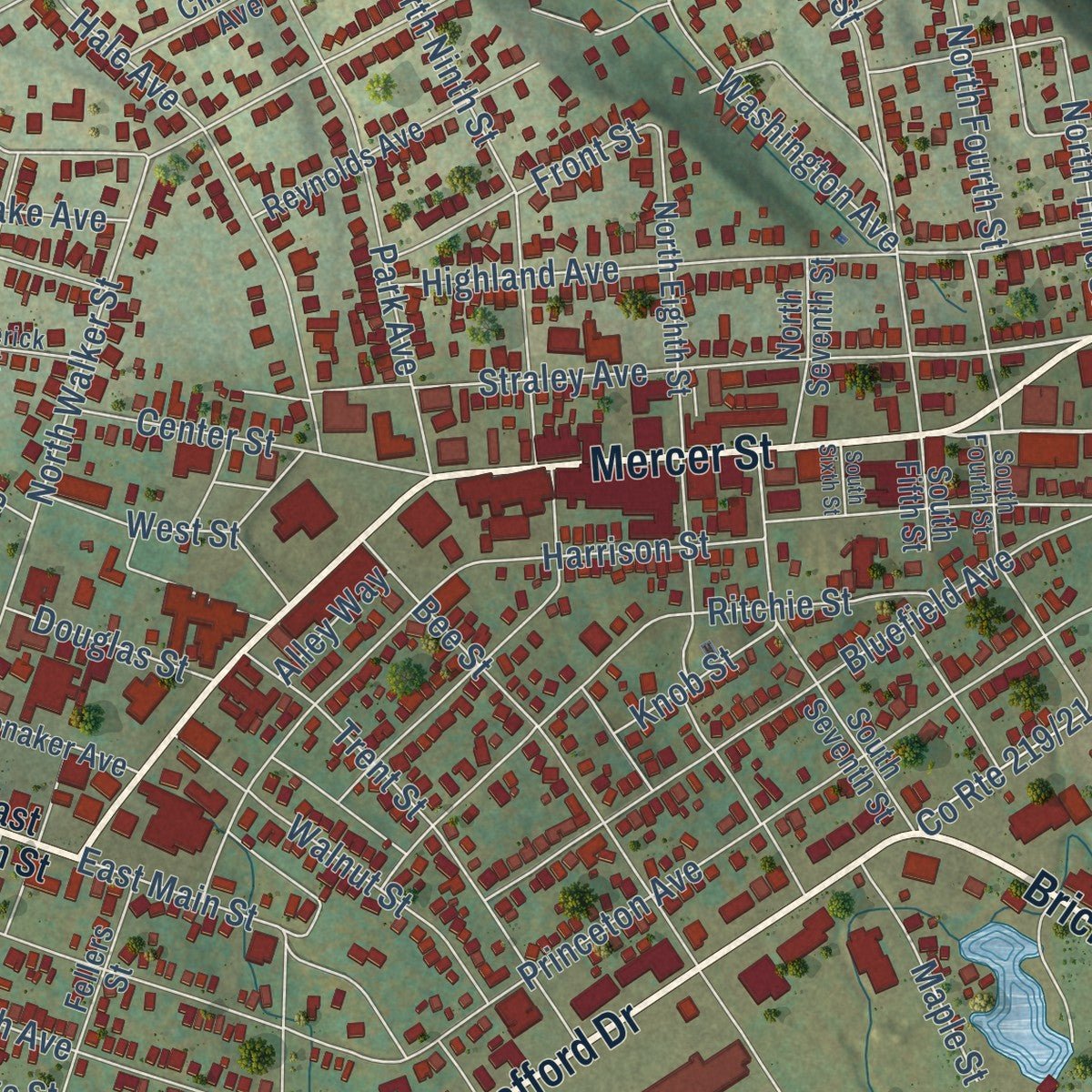
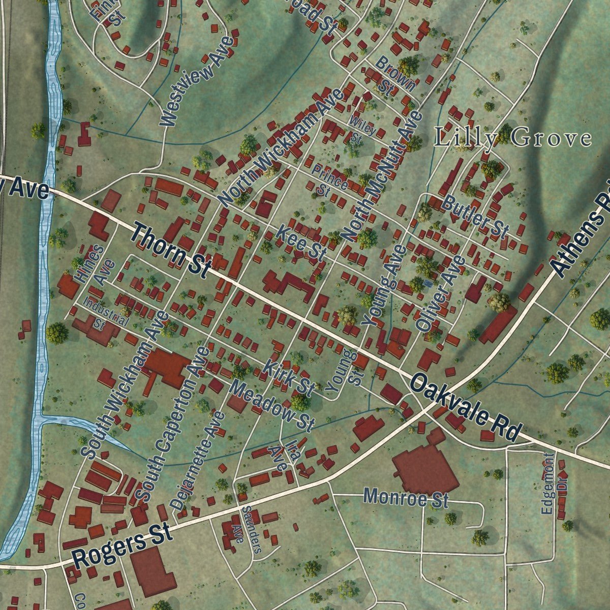
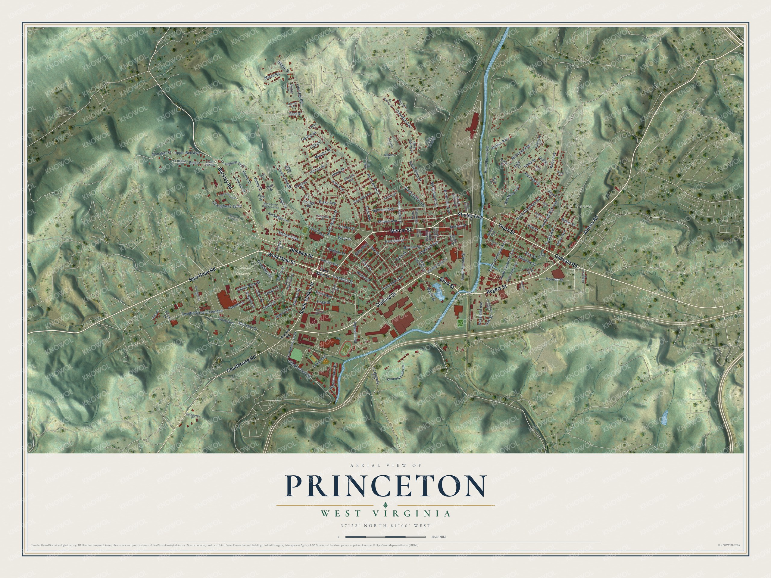
Explore Princeton, West Virginia from a whole new perspective. Created using aerial imagery and detailed geographic data, this map captures Princeton building by building, with labeled streets, familiar landmarks, and shaded topographical relief that highlights the natural contours of the landscape.
Combining modern data with the timeless character of a vintage atlas, this map is just as interesting up close as it is beautiful on the wall. Whether you grew up in Princeton, spent memorable years there, or call it home today, this unique map is a great way to celebrate a place that means something to you. Zoom in on the preview to look for your street, and then order a print to put your memories on the wall.
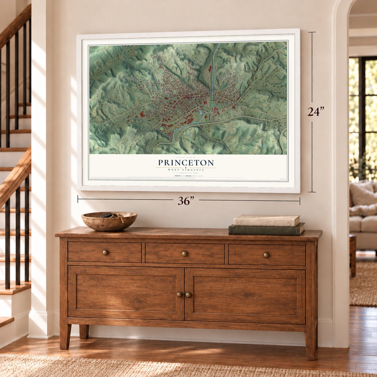
Three ways to hang it
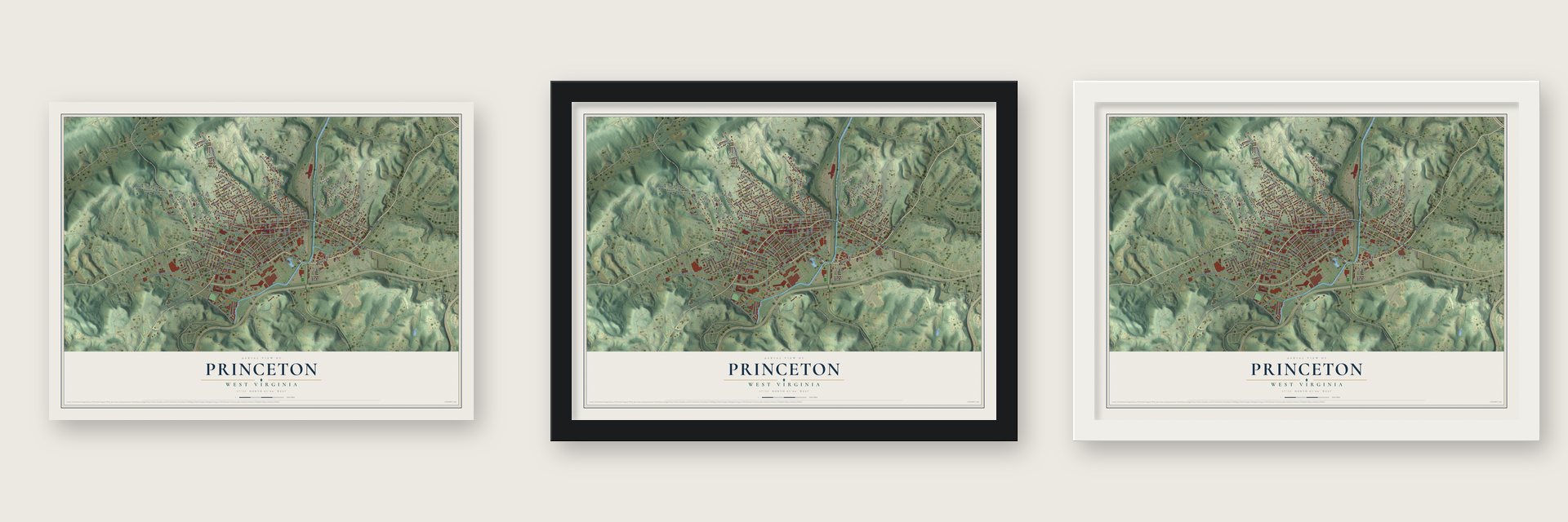
Unframed archival matte, a black wood frame or a white wood frame.
Up close
Geography Worth Displaying
This map was created using accurate cartographic data and authoritative geographic sources, including the U.S. Geological Survey and the Census Bureau. The map brings together terrain, waterways, roads, and building detail. The majority of the streets are labeled, houses are accurately depicted, and the topography is derived from government sources. Combining local data with carefully composed color and shading leads to this beautifully detailed Princeton artwork for your wall.
Rather than simply showing street outlines, we’ve included as many of the street names as we could reasonably fit on the map while keeping their names legible. Zoom in on the high resolution preview to see exactly what’s on the map. We truly set out to create a statement piece for anyone who loves Princeton. So whether it’s for you, or a gift for someone you love, we hope this map of Princeton brings back fond memories.
Read the story behind this map of Princeton, West Virginia from 2026.

About Princeton, West Virginia
Princeton is a city of 5,872 people and the county seat of Mercer County. It takes its name from the Battle of Princeton in New Jersey, where Gen. Hugh Mercer, for whom the county is named, died. When Mercer County was created in 1837, William Smith gave 1.5 acres for its courthouse on land that later became Princeton.
The Civil War nearly wiped the town out. On May 1, 1862, Confederate Capt. Walter Jenifer had Princeton burned so the Union army couldn't seize its supplies, and many residents set fire to their own homes and left. About two weeks later, on May 17, Confederates defending the Dublin railroad won the Battle of Pigeon Roost, also called the Battle of Princeton Courthouse. The town rebuilt slowly after the war and was incorporated on February 20, 1909.
- The house that survivedFew buildings came through the fire of 1862, and the Dr. Robert B. McNutt House is the only one still standing in Princeton. Oddly enough for a town burned by Confederates, the house served for a time as headquarters for the Union army. It joined the National Register in 2001.
- A turncoat judge shunnedPrinceton and Mercer County stayed loyal to the Confederacy, so the county was left out of the first group of counties that formed the new State of Kanawha, later renamed West Virginia. When Judge Nathaniel Harrison was made circuit judge by the end of 1865, townspeople refused to deal with him, because they saw him as a Confederate who had changed sides.
- Virginian Railway headquartersWilliam Nelson Page, quietly backed by millionaire Henry H. Rogers, pushed his Deepwater Railway through Mercer County and Princeton toward Virginia. In 1907 it joined the Tidewater Railway to form the Virginian Railway, which reached Hampton Roads in 1909, about 360 miles from Deepwater. Princeton became home base for the line's New River Division, which ran west from Roanoke.
- A railroad town's museumDiesel engines, mergers and a decline in coal mining later cut the Virginian Railway jobs in Princeton, and by 2006 most of the shop buildings had been torn down. The Princeton Station Museum now fills a replica of the old two-story passenger station.
- A 1,000-seat theaterThe Chuck Mathena Center opened in July 2008, with a theater that seats 1,000 people and rooms where civic groups can hold their meetings. It soon became the heart of the city's cultural life.
Find your street
Names on the Princeton map
Every name below is printed on this map. Look for your street, your school, the park where you played, or the pond down the road.
Places and landmarks2
- Oakwood Cemetery
- Lilly Grove
Streets and roads160
- Stafford Drive
- Mercer Street
- Rogers Street
- Thorn Street
- Athens Road
- New Hope Road
- West Main Street
- Brick Street
- Straley Avenue
- Honaker Street
- Oakvale Road
- South Walker Street
- Courthouse Road
- Beckley Road
- Bell Street
- High Street
- Highland Avenue
- Earlie Street
- Cedar Lane
- North Walker Street
- Hale Avenue
- Princeton Avenue
- Low Gap Road
- Roundhouse Road
- Harrison Street
- Park Avenue
- Old Bluefield Road
- Morrison Drive
- Bee Street
- North Wickham Avenue
Show all 160 streets
- South Wickham Avenue
- Washington Avenue
- Bluefield Avenue
- South Avenue
- McKinley Avenue
- Thornton Avenue
- Ritchie Street
- Ingleside Road
- Kee Street
- North Fifth Street
- South Second Street
- North McNutt Avenue
- North Ninth Street
- Oliver Avenue
- Trent Street
- Westview Avenue
- Mahood Avenue
- Maple Street
- Twelfth Street Extended
- Kirk Street
- South Caperton Avenue
- Front Street
- North Fourth Street
- Tenth Street
- Mikee Road
- Henry Street
- Young Avenue
- Walnut Street
- East Main Street
- Kirby Avenue
- North Third Street
- Lower Pine Street
- Meador Street
- Airport Drive
- Blake Avenue
- Center Street
- Hinton Street
- Walker Avenue
- Valley View Street
- Meadow Street
- Upper Bell Avenue
- Lovell Avenue
- Lincoln Street
- West Street
- Garden Oaks Drive
- Roseland Avenue
- Wallace Street
- Cemetery Road
- Valley Street
- Twelfth Street
- Pearis Street
- Tabor Avenue
- Railroad Street
- Olive Street
- Douglas Street
- Monroe Street
- Ribern Street
- Knob Street
- Butler Street
- Gadd Street
- Lilly Court
- Tip Top Street
- Alley Way
- Oak Street
- Hoge Street
- East Drive
- Emory Avenue
- Caboose Circle
- Clairmont Hills Drive
- Reynolds Avenue
- South Seventh Street
- Christie Avenue
- North Eighth Street
- Karnes Street
- College Avenue
- North Second Street
- South Fifth Street
- South Johnston Street
- Dejarnette Avenue
- North Seventh Street
- Fellers Street
- East Shop Street
- Silver Spring Street
- Magnolia Street
- Rockledge Avenue
- Ira Avenue
- Honaker Avenue
- Burgess Street
- Reed Street
- Ritter Street
- Amber Lane
- Hines Avenue
- South Third Street
- Ball Street
- Cook Street
- Brown Street
- Park Street
- Young Street
- Elliott Drive
- Kim Street
- Fink Street
- Cove Street
- Lower Bell Avenue
- Prince Street
- Springhaven Drive
- South Fourth Street
- Upper Pine Street
- Joe Adams Avenue
- Peck Street
- North First Street
- Frederick Court
- Bacardi Street
- Edgemont Drive
- Midway Street
- Beam Street
- Royal Street
- Bluefield Road
- Saunders Avenue
- Edwards Avenue
- Industrial Street
- County Highway 16
- Morningside Drive
- Circle Drive
- Martin Luther King Junior Avenue
- Wiley Street
- Broadway Street
- Lewis Street
- Mahood Extended
- Justin Jesse Street
- South Sixth Street
Names are listed as they appear on the printed map. Zoom into the product photos to find them.
The art of mapping a place
How This Map Was Made
Real places. Remarkable detail. Discover the layers that turn geographic data into a map of home.

The view from above
Aerial imagery reveals the character of the land: woodland, open fields, and the patterns of a place.

The shape of the land
Elevation data brings hills, valleys, and subtle changes in the landscape into view.

The details of home
Roads, waterways, and building footprints come together to make the map feel unmistakably local.

Geography becomes art
Considered color, shading, and typography bring the layers together in a map made for your wall.


Process illustrated with Mendon, Massachusetts. Aerial imagery: USDA NAIP. Terrain: USGS 3D Elevation Program. Map details and finished artwork: KNOWOL.
The Details
About This Print
Choose an archival matte print, or a black or white Ayous wood frame. The archival matte print is unframed.
Select your size and finish above to see the matching product image and price.
Materials & Craftsmanship
A contemporary map with the character of a classic atlas, printed on archival matte paper. Optional frames are made from Ayous wood.
Your printed map does not include the watermark shown in the full-map preview.
Shipping & Delivery
Free shipping within the United States. Every print is made to order in the USA.
Buying a gift? Add a note in your cart and we'll include it. We never put prices in the package.
Prints ship within 2 to 3 business days. Allow 7 to 10 days total from ordering for delivery. Timing may vary during holidays or periods of high order volume.
Read our shipping policy.
Returns and damaged prints
Each print is made to order. Change-of-mind refunds are not available after production.
If your print arrives damaged, misprinted or incorrect, contact support@knowol.com within 30 days of receiving it. Include your order number, photos and a description of the issue.
Read our full refund and replacement policy. For questions about your order, email support@knowol.com.
Find your town
Looking for another city?
Find a map of home in our West Virginia collection, or any town in the country.
Nearby
Maps of towns near Princeton
Know someone from one of these towns? Their map makes a great gift.
 Athens
, West Virginia
From $39.99See the map
 Lashmeet
, West Virginia
From $39.99See the map
 Oakvale
, West Virginia
From $39.99See the map
More maps nearby: Montcalm, Matoaka, Bluewell, Bluefield and Brush Fork.