
Search for another town





Free U.S. delivery 7 to 10 days after you order
Pulaski, Tennessee Map Art
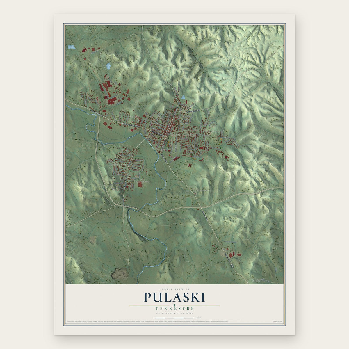
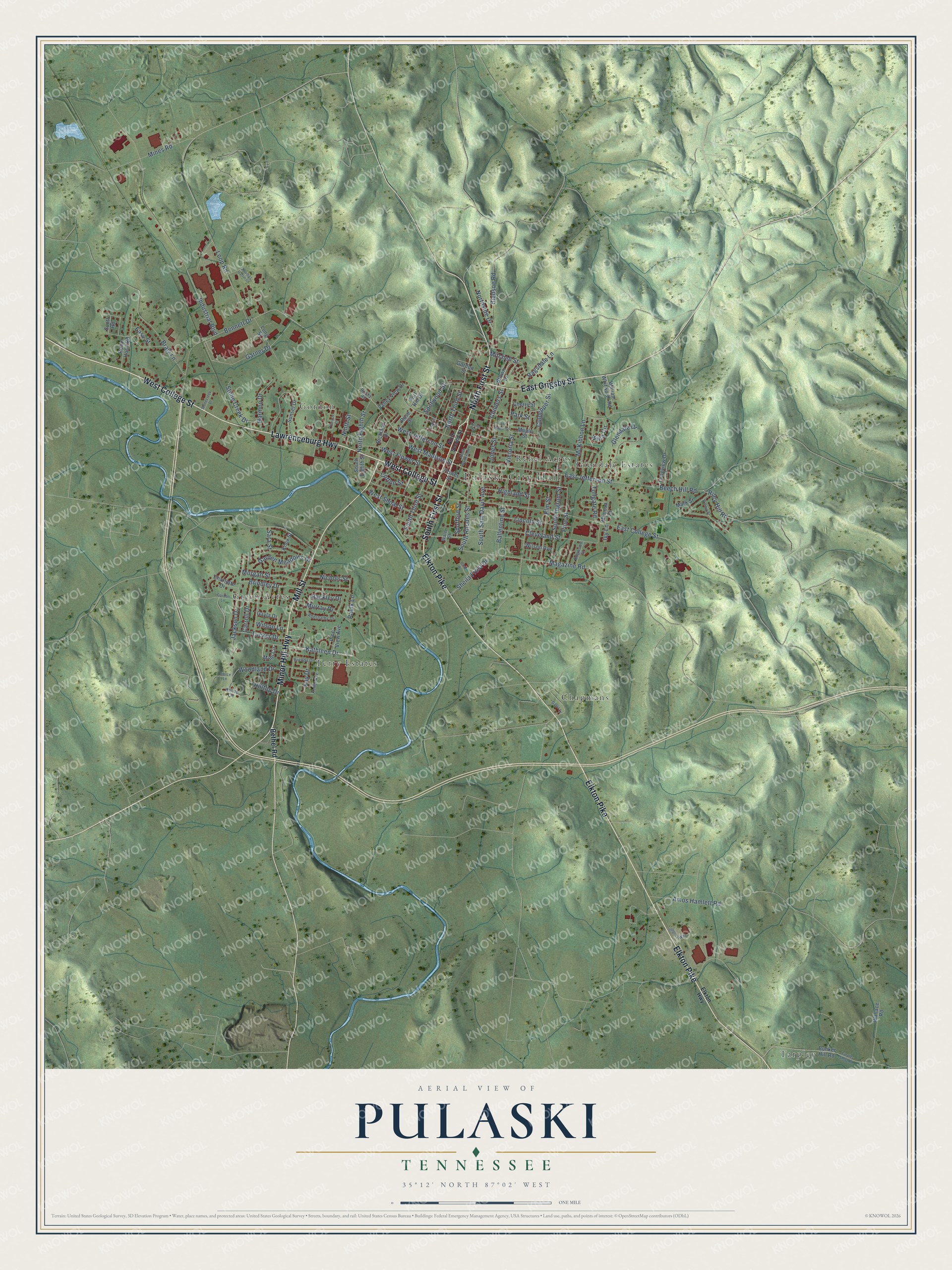
A new map of Pulaski, Tennessee, made in 2026 and printed to order on thick archival matte paper.
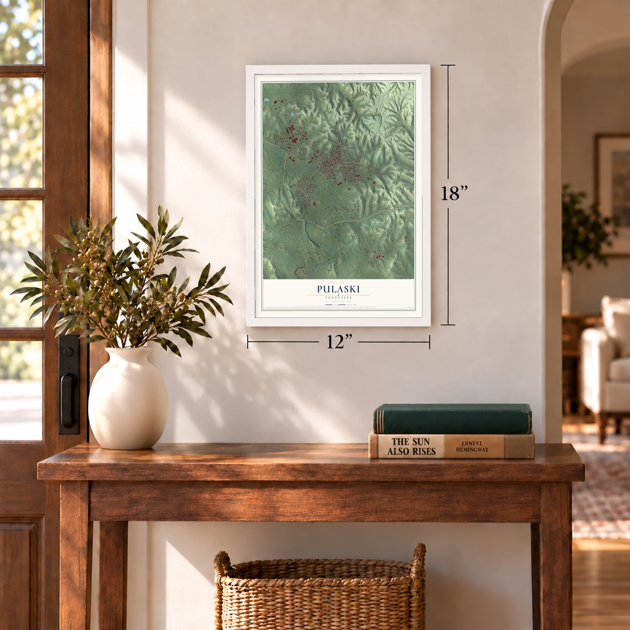
12" x 18" Archival Matte Print
A Map of Home. A Work of Art.
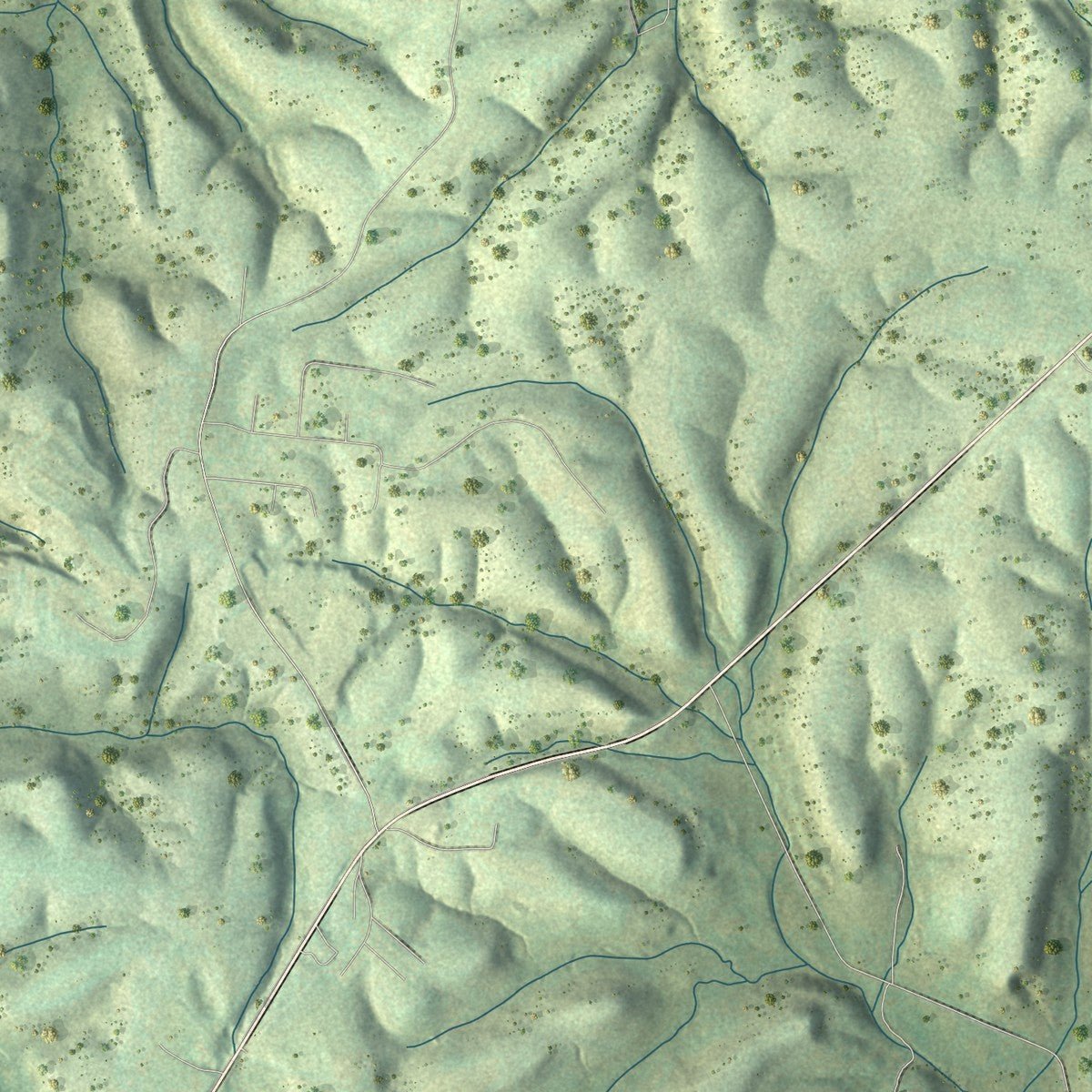
Explore Pulaski, Tennessee from a whole new perspective. Created using aerial imagery and detailed geographic data, this map captures Pulaski building by building, with labeled streets, familiar landmarks, and shaded topographical relief that highlights the natural contours of the landscape.
Combining modern data with the timeless character of a vintage atlas, this map is just as interesting up close as it is beautiful on the wall. Whether you grew up in Pulaski, spent memorable years there, or call it home today, this unique map is a great way to celebrate a place that means something to you. Zoom in on the preview to look for your street, and then order a print to put your memories on the wall.
Three ways to hang it
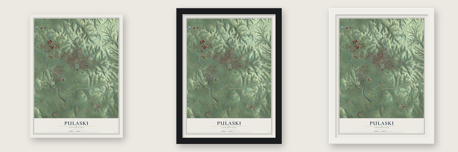
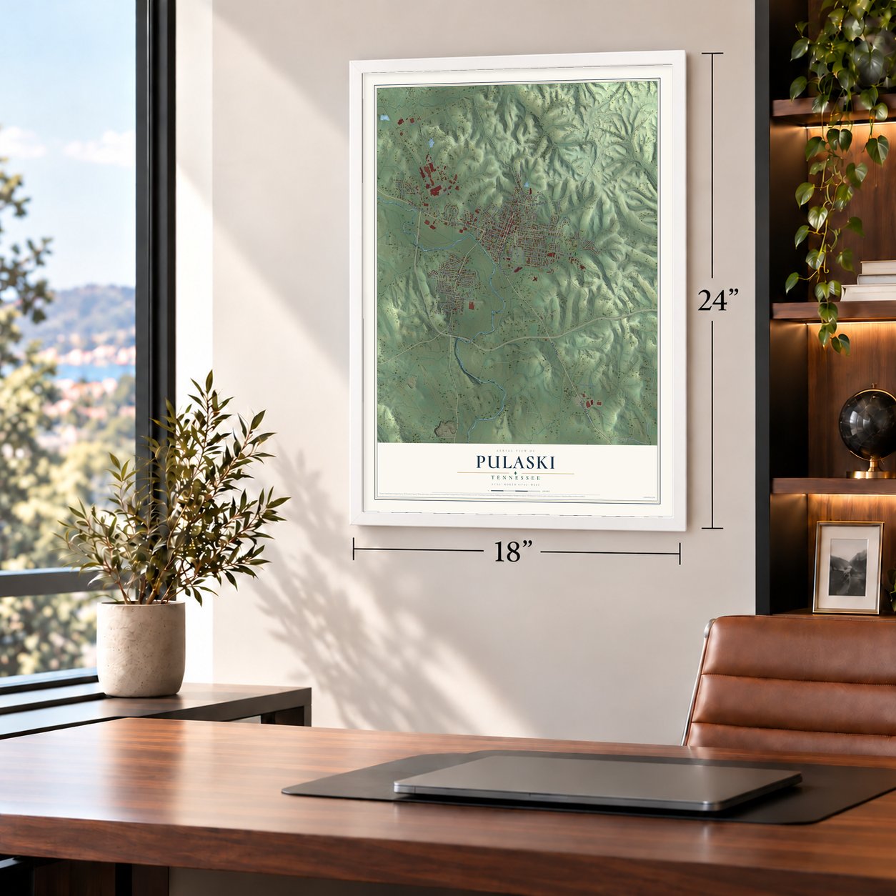
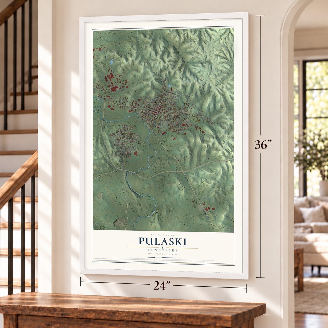
Unframed archival matte, a black wood frame or a white wood frame.
Up close
Geography Worth Displaying
This map was created using accurate cartographic data and authoritative geographic sources, including the U.S. Geological Survey and the Census Bureau. The map brings together terrain, waterways, roads, and building detail. The majority of the streets are labeled, houses are accurately depicted, and the topography is derived from government sources. Combining local data with carefully composed color and shading leads to this beautifully detailed Pulaski artwork for your wall.
Rather than simply showing street outlines, we’ve included as many of the street names as we could reasonably fit on the map while keeping their names legible. Zoom in on the high resolution preview to see exactly what’s on the map. We truly set out to create a statement piece for anyone who loves Pulaski. So whether it’s for you, or a gift for someone you love, we hope this map of Pulaski brings back fond memories.
Read the story behind this map of Pulaski, Tennessee from 2026.

About Pulaski, Tennessee
Pulaski is a city of 8,397 people and the seat of Giles County, with its downtown on the north side of Richland Creek. The first settlers on the town's site were Lewis Kirk, Alex Black, Nathan Black and Robert Black, who came in 1806 and 1807. Pulaski was founded in 1809 and named for Casimir Pulaski, the Polish-born general who fought for the Patriots in the Revolution.
In 1811 Pulaski was chosen as the county seat, and a courthouse went up on a square in the middle of the county. The law that created the town set aside ground for a courthouse, stocks and a jail, and paid for them by auctioning town lots to the highest bidders. That same year Nathaniel Moody moved his mill to Richland Creek, close to the new town.
- Pikes and a railroadIn 1834 the Columbia, Pulaski, Elkton & Alabama Pike became the first turnpike built through Giles County. The Pulaski & Elkton Pike, thirty miles long, followed about 1840, and in 1882 and 1883 new pikes reached out from Pulaski to Brick Church, Bradshaw and Vale Mills. The Nashville & Decatur Railroad, the only line in the county, crossed it from north to south.
- A fort on Fort HillGiles County sat on the line of march between Nashville and Huntsville, Ala., so soldiers from both armies crossed it again and again during the Civil War. Federal troops fortified Pulaski and raised a large earthwork on Fort Hill, a high, steep hill above town. In 1863 the Union Army hanged the Confederate courier Sam Davis in Pulaski as a spy.
- A refuge for freedmenOnce Union forces held Tennessee in 1862, thousands of African Americans fled farms and plantations to reach the Union lines. The Army opened a contraband camp in Pulaski where freedmen and their families found shelter, food and paid work, and classes were started for them there.
- A college since 1870Martin Methodist College began in Pulaski in 1870, a private school that admitted only white students. In 2021 it joined the University of Tennessee System and became University of Tennessee Southern, now a public university.
Find your street
Names on the Pulaski map
Every name below is printed on this map. Look for your street, your school, the park where you played, or the pond down the road.
Places and landmarks8
- Pulaski City Hall
- Chapmans
- Glendale Estates
- Gordon
- Green Acres
- Rebel Acres
- Tarpley
- Terry Estates
Streets and roads124
- Elkton Pike
- West College Street
- South First Street
- North First Street
- Minor Hill Highway
- East Grigsby Street
- Mill Street
- Lawrenceburg Highway
- Kathleen Drive
- West Madison Street
- South Rhodes Street
- South Third Street
- Mines Road
- Hilltop Drive
- Magazine Road
- East College Street
- Industrial Boulevard
- East Jefferson Street
- Bennett Drive
- North Third Street
- Beech Hill Road
- Cleveland Street
- Braly Lane
- Sheila Frost Drive
- Loop Road
- Morgan Street
- Jackson Drive
- Garner Drive
- West Flower Street
- Glendale Drive
Show all 124 streets
- South Sam Davis Avenue
- McKibbon Lane
- Ballentine Street
- Elm Street
- Bledsoe Road
- South Ingrum Street
- West Shoal Street
- Lincoln Street
- West Jefferson Street
- Victoria Street
- Woodland Drive
- Spotwood Street
- Garden Meadows Drive
- Cotton Street
- Paulk Lane
- Jones Street
- Stone Creek Drive
- Brindley Drive
- Murray Drive
- Harmon Drive
- Amos Hamlett Road
- North Eighth Street
- Rackley Drive
- Childers Street
- Tucker Drive
- Pine Street
- Carroll Drive
- Ragsdale Lane
- Willa Circle
- Mitchell Street
- Highland Street
- Riley Hill Road
- Culpepper Street
- Nichols Street
- Tollgate Road
- Northside Drive
- Ninth Street
- Park Street
- Spofford Street
- Kay Drive
- Easy Street
- Wilson Lane
- Sara Street
- Ivy Lane
- Bethel Road
- Scott Road
- South Eighth Street
- Sunset Drive
- William Whitworth Road
- Bunker Hill Road
- Long Street
- Valley View Drive
- Charlotte Drive
- Mark Street
- Longview Drive
- Mimi Circle
- Pine View Avenue
- Robin Hood Road
- Knox Street
- Gayla Drive
- Gordon Street
- Wilson Avenue
- Fort Hill Drive
- Richland Drive
- Flower Street
- Rose Street
- Brown Drive
- Wallace Road
- Maple Street
- Cherry Street
- Mimosa Drive
- Elkton Highway
- Keller Avenue
- Abernathy Drive
- Brenda Drive
- Dogwood Street
- Rocky Road
- Hilltop Circle
- Water Street
- North Second Street
- Gordon Lane
- Tarpley Shop Road
- Terrace Drive
- North Patterson Street
- Integrity Way
- Gayla Lane
- Stonecreek Drive
- East Maple Street
- Walnut Street
- Thomas Gatlin Drive
- Disk Drive
- Turner Street
- Pierce Lane
- Harris Street
Names are listed as they appear on the printed map. Zoom into the product photos to find them.
The art of mapping a place
How This Map Was Made
Real places. Remarkable detail. Discover the layers that turn geographic data into a map of home.

The view from above
Aerial imagery reveals the character of the land: woodland, open fields, and the patterns of a place.

The shape of the land
Elevation data brings hills, valleys, and subtle changes in the landscape into view.

The details of home
Roads, waterways, and building footprints come together to make the map feel unmistakably local.

Geography becomes art
Considered color, shading, and typography bring the layers together in a map made for your wall.


Process illustrated with Mendon, Massachusetts. Aerial imagery: USDA NAIP. Terrain: USGS 3D Elevation Program. Map details and finished artwork: KNOWOL.
The Details
About This Print
Choose an archival matte print, or a black or white Ayous wood frame. The archival matte print is unframed.
Select your size and finish above to see the matching product image and price.
Materials & Craftsmanship
A contemporary map with the character of a classic atlas, printed on archival matte paper. Optional frames are made from Ayous wood.
Your printed map does not include the watermark shown in the full-map preview.
Shipping & Delivery
Free shipping within the United States. Every print is made to order in the USA.
Buying a gift? Add a note in your cart and we'll include it. We never put prices in the package.
Prints ship within 2 to 3 business days. Allow 7 to 10 days total from ordering for delivery. Timing may vary during holidays or periods of high order volume.
Read our shipping policy.
Returns and damaged prints
Each print is made to order. Change-of-mind refunds are not available after production.
If your print arrives damaged, misprinted or incorrect, contact support@knowol.com within 30 days of receiving it. Include your order number, photos and a description of the issue.
Read our full refund and replacement policy. For questions about your order, email support@knowol.com.
Find your town
Looking for another city?
Find a map of home in our Tennessee collection, or any town in the country.
Nearby
Maps of towns near Pulaski
Know someone from one of these towns? Their map makes a great gift.
 Frankewing
, Tennessee
From $39.99See the map
 Minor Hill
, Tennessee
From $39.99See the map
 Elkton
, Tennessee
From $39.99See the map
More maps nearby: Prospect, Lynnville, Dellrose, Cornersville and Ardmore.