
Search for another town

Free U.S. delivery 7 to 10 days after you order
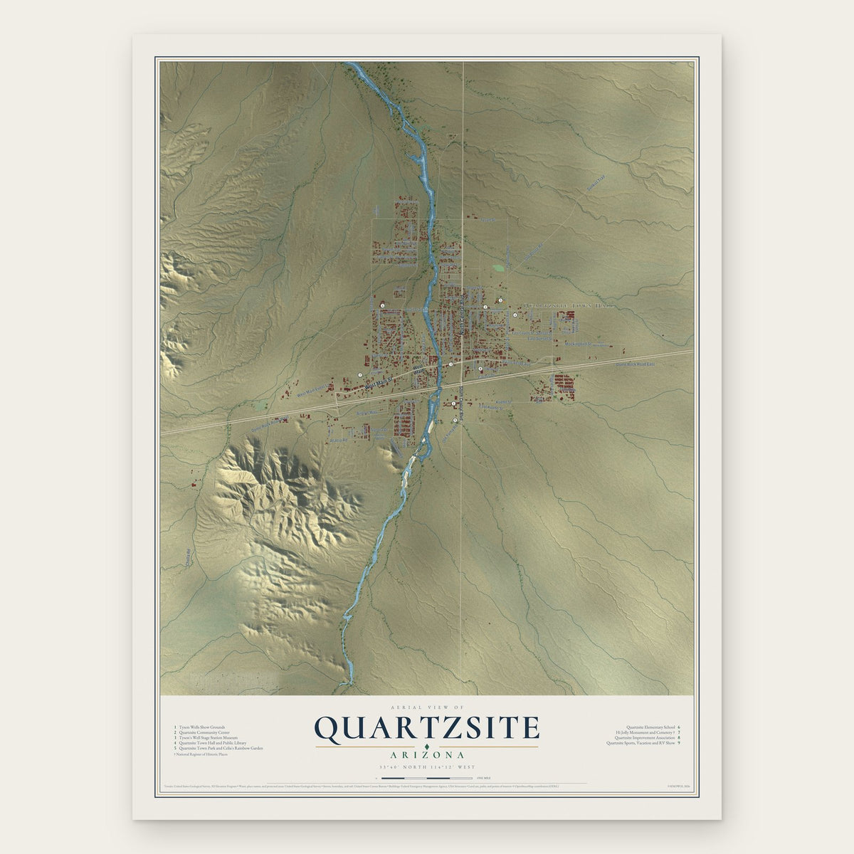
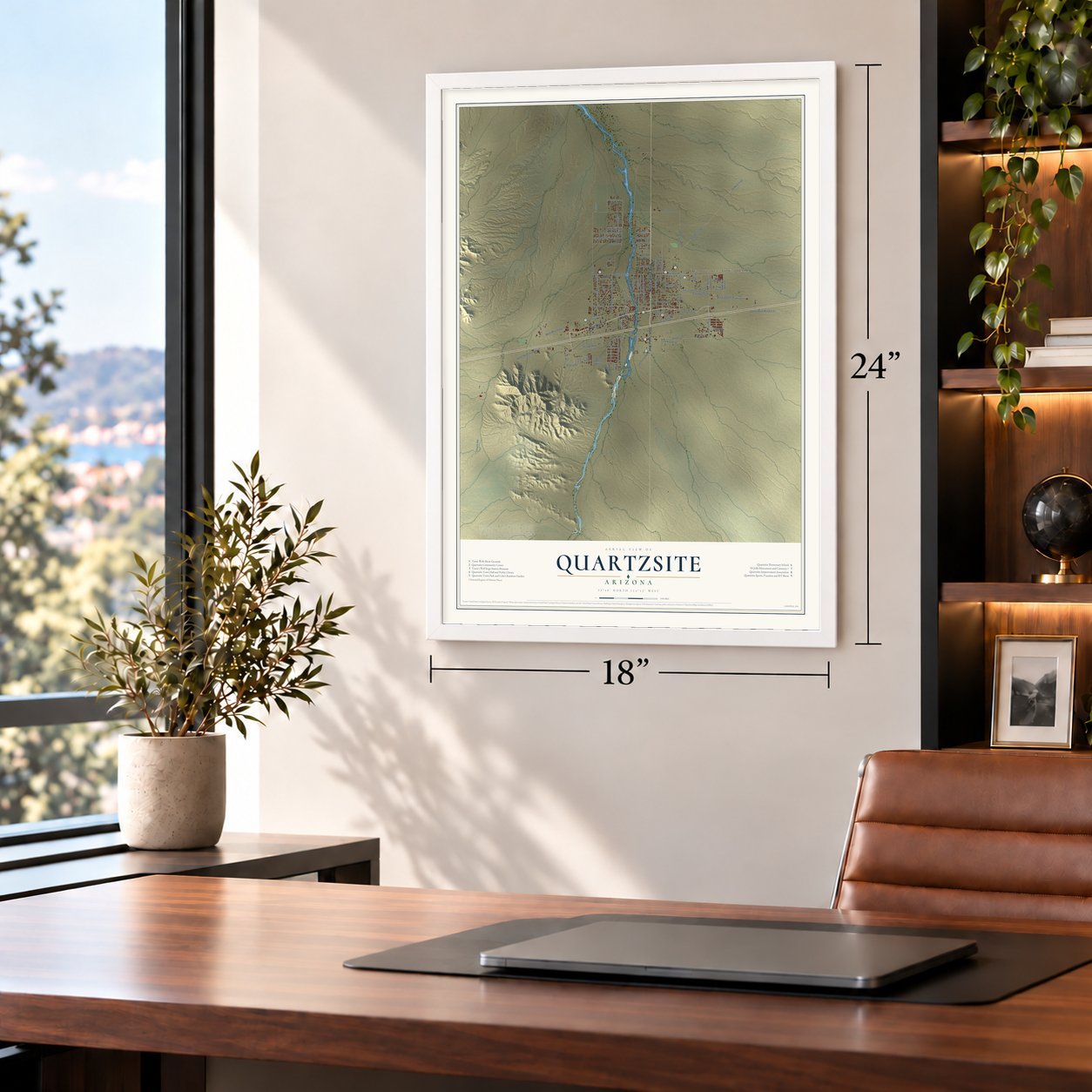
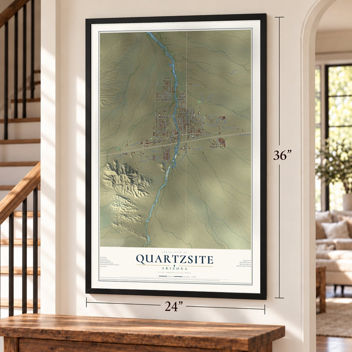
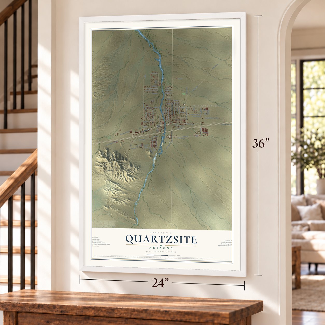
Quartzsite, Arizona Map Art
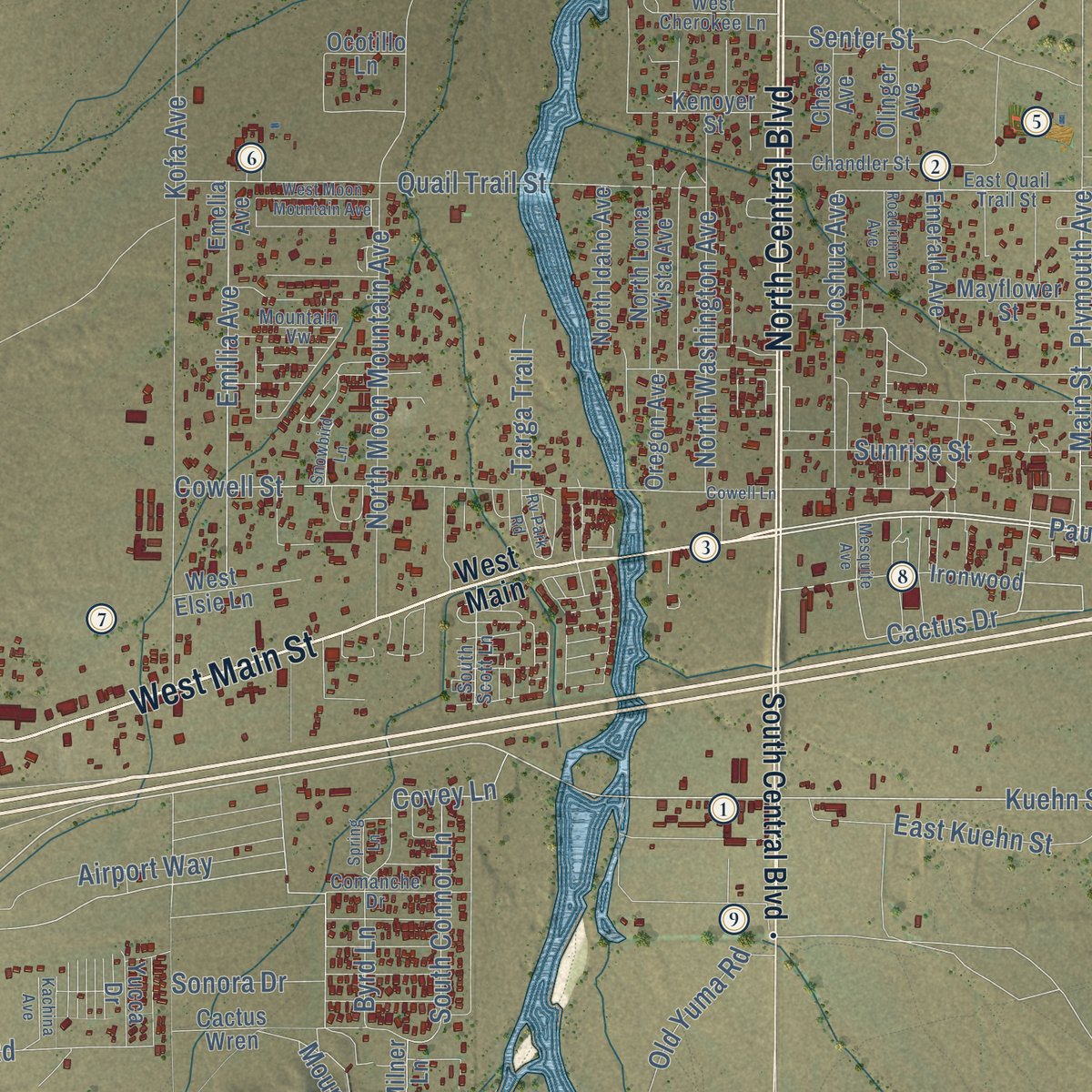
Building by building, with labeled streets and shaded relief.
12" x 18" Archival Matte Print
A Map of Home. A Work of Art.
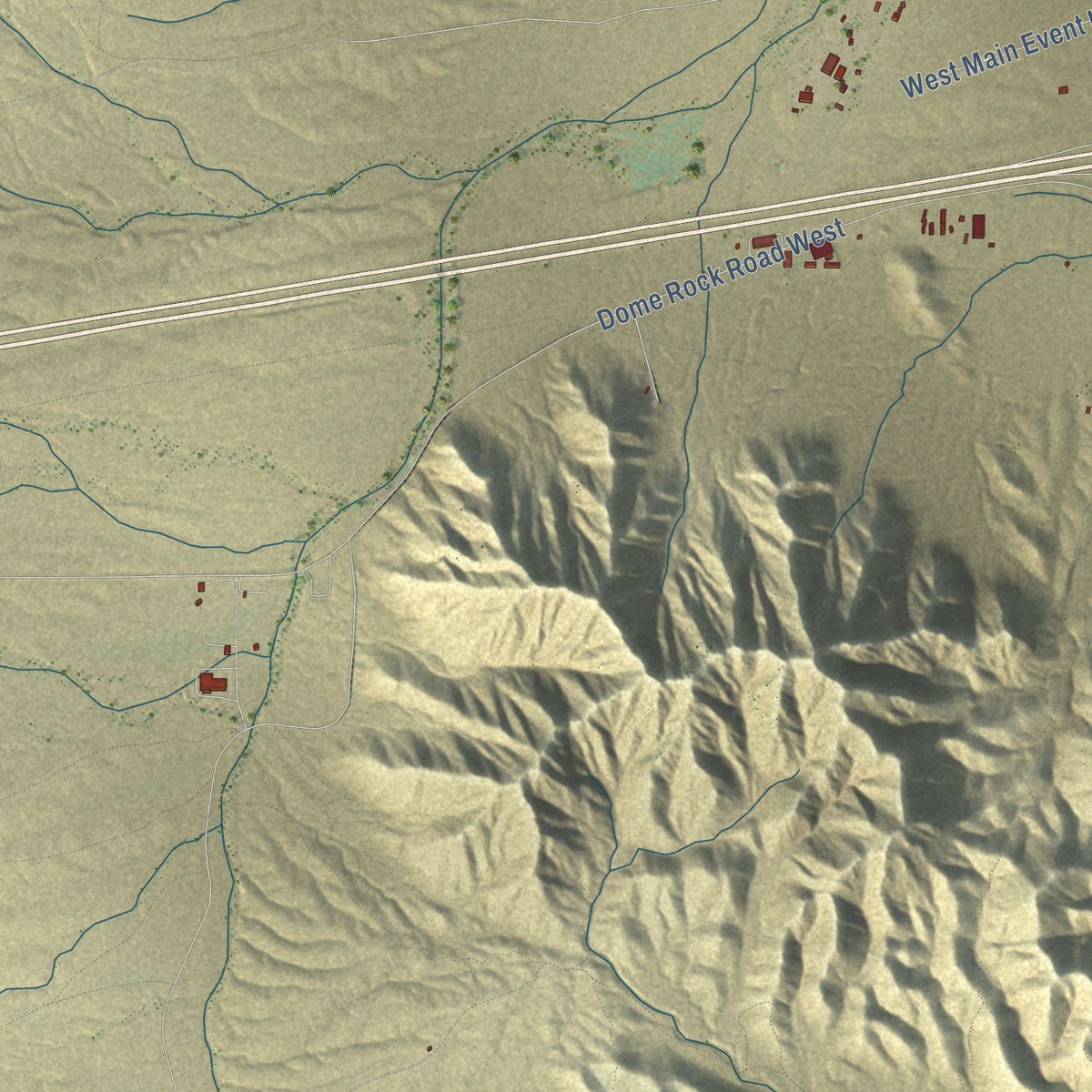
Explore Quartzsite, Arizona from a whole new perspective. Created using aerial imagery and detailed geographic data, this map captures Quartzsite building by building, with labeled streets, familiar landmarks, and shaded topographical relief that highlights the natural contours of the landscape.
Combining modern data with the timeless character of a vintage atlas, this map is just as interesting up close as it is beautiful on the wall. Whether you grew up in Quartzsite, spent memorable years there, or call it home today, this unique map is a great way to celebrate a place that means something to you. Zoom in on the preview to look for your street, and then order a print to put your memories on the wall.

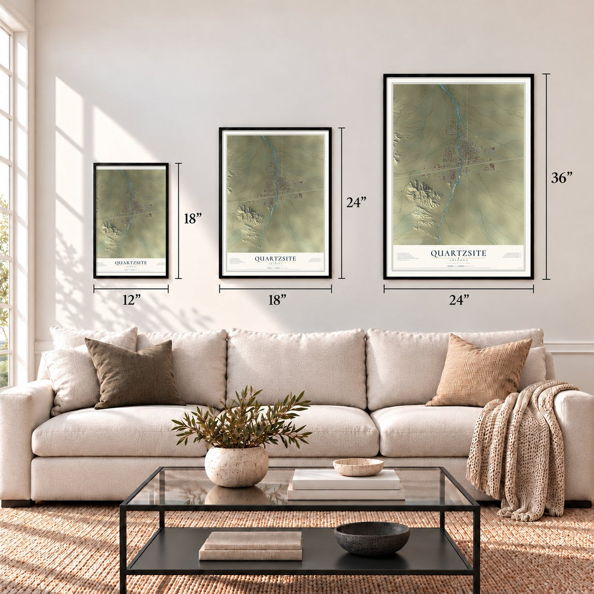
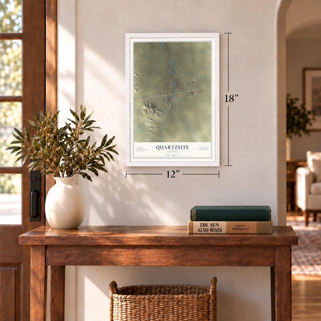
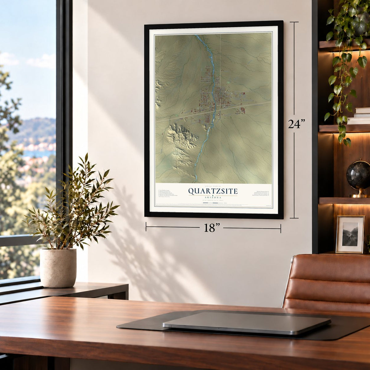
Three ways to hang it
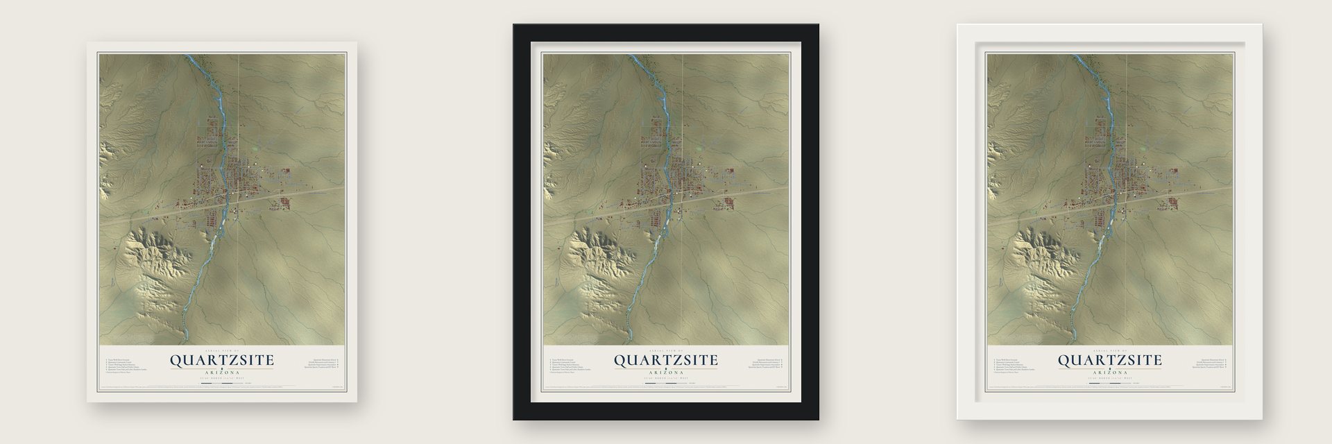
Unframed archival matte, a black wood frame or a white wood frame.
Up close
Geography Worth Displaying
This map was created using accurate cartographic data and authoritative geographic sources, including the U.S. Geological Survey (USGS) and FEMA. The map brings together terrain, waterways, roads, and building detail. The majority of the streets are labeled, houses are accurately depicted, and the topography is derived from government sources. Combining local data with carefully composed color and shading leads to this beautifully detailed Quartzsite artwork for your wall.
Rather than simply showing street outlines, we’ve included as many of the street names as we could reasonably fit on the map while keeping their names legible. Zoom in on the high resolution preview to see exactly what’s on the map. We truly set out to create a statement piece for anyone who loves Quartzsite. So whether it’s for you, or a gift for someone you love, we hope this map of Quartzsite brings back fond memories.
Explore the full map of Quartzsite, Arizona and read about the local places it shows.
Find your street
Names on the Quartzsite map
Every name below is printed on this map. Look for your street, your school, the park where you played, or the pond down the road.
Places and landmarks1
- Quartzsite Town Hall
Streets and roads91
- West Main Street
- North Central Boulevard
- Main Street
- Kuehn Street
- Paulo Verde Avenue
- Plymouth Avenue
- Cactus Drive
- Joshua Avenue
- Riggles Avenue
- Dome Rock Road East
- Acacia Road
- North Washington Avenue
- Mockingbird Street
- Sunset Street
- Covey Lane
- Old Bouse Road
- Sunkist Trail
- North Moon Mountain Avenue
- Kofa Avenue
- Dome Rock Road West
- Tyson Street
- Cowell Street
- Cholla Road
- Quail Trail Street
- Plymouth Road
- Pyramid Street
- Old Yuma Road
- Emilia Avenue
- East Kuehn Street
- Camel Street
Show all 91 streets
- East Sunset Street
- Sunrise Street
- Airport Way
- South Connor Lane
- West Main Event Lane
- Byrd Lane
- Senter Street
- Targa Trail
- Mountain Road
- Sonora Drive
- Saguaro Lane
- Saguaro Street
- East Row
- South Central Boulevard
- West Main
- North Sun Valley Street
- Ironwood
- North Riggles Avenue
- Quail Run
- West Malapais Way
- East Coyote Street
- Emelia Avenue
- West Camel Street
- North Loma Vista Avenue
- Kenoyer Street
- Emerald Avenue
- North Idaho Avenue
- Desert Vista Street
- North Datig Avenue
- West Pyramid Lane
- West Camel Lane
- Mayflower Street
- Pso Grande
- West Elsie Lane
- Chase Avenue
- Olinger Avenue
- Oregon Avenue
- Cactus Wren
- Desert Avenue
- Yucca Drive
- Ocotillo Lane
- Pso Chico
- Milner Lane
- East Quail Trail Street
- West Pyramid Street
- Chandler Street
- Comanche Drive
- West Cherokee Lane
- South Scott Lane
- Los Delomas
- Mountain Vw
- Mesquite Avenue
- East Mockingbird Street
- Quartzsite Avenue
- Cowell Lane
- Rv Park Road
- West Moon Mountain Avenue
- Roadrunner Avenue
- Kachina Avenue
- Snowbird Lane
- Spring Lane
Names are listed as they appear on the printed map. Zoom into the product photos to find them.
About Quartzsite, Arizona
Quartzsite is a town of 2,413 people in La Paz County, where Interstate 10 crosses U.S. Route 95. Travelers stopped here for water long before the highway came. A waterhole served the spot from 1863 into the 1880s, and Charles Tyson hand-dug a well in 1864, according to the Quartzsite Historical Society.
In 1866 Tyson built a stage station on the road between La Paz and Wickenburg, and the stop became known as Tyson's Wells. La Paz, about 20 miles away, was a steamboat landing on the Colorado River. Prospectors searched the surrounding valley for a century, from the gold rush on the Colorado in the 1860s up to the 1950s. In a small mining boom in 1897, the town took the official name Quartzsite, after the quartz found in the area.
“We slept in our tent that night, for of all places on the earth a poorly kept ranch in Arizona is the most melancholy and uninviting.”
- Tyson's station still standsCharles Tyson's 1866 stage station is still standing at 161 West Main Street. Today it holds the Quartzsite Museum, which covers the town's pioneers and its mines. The restored Oasis Hotel, first built in 1900, sits right beside it.
- Hi Jolly, the camel driverHadji Ali, born Philip Tedro around 1828 in Smyrna to Greek and Syrian parents, was called Hi Jolly by Americans. The U.S. Army hired him in 1856 as one of its first camel drivers for a Southwest camel experiment, and in 1857 he led the camels from Texas to California and back. When it ended he became a prospector, guide, mail carrier and freight hauler. Mining near Quartzsite filled his last years, and he died here in 1902.
- A pyramid for Hi JollyTownspeople spent weeks building a pyramid of quartz and petrified wood over Hi Jolly's grave. They dedicated it on January 4, 1903, and that same year the town cemetery was named for him.
- A steel camel on topIn 1934 the Arizona Highway Department set a steel camel on the pyramid, added a plaque and sealed the ashes of Old Topsy, the experiment's last surviving camel, inside the base. The plaque's dedication came in 1935, led by Governor Benjamin Moeur.
- 1.5 million winter visitorsWinter is Quartzsite's busy season, when visitors camp in the desert in recreational vehicles. Each January, vandwellers also meet here for the Rubber Tramp Rendezvous.
Keep exploring Arizona
Quartzsite is one of 525 Arizona towns we've mapped. Every dot on the map is a print of its own.
The search covers every state, Arizona first.
Near Quartzsite
Order 2 or more town maps and save 10%. Shown in the size and finish you picked above, so they hang as a set.
- La Paz Valley 12" x 18" / Archival Matte Print $39.99
- Ehrenberg 12" x 18" / Archival Matte Print $39.99
- Brenda 12" x 18" / Archival Matte Print $39.99


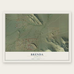
More maps nearby: Bouse, Colorado River Indian Tribes, Utting, Vicksburg and Poston.
The art of mapping a place
How This Map Was Made
Real places. Remarkable detail. Discover the layers that turn geographic data into a map of home.

The view from above
Aerial imagery reveals the character of the land: woodland, open fields, and the patterns of a place.

The shape of the land
Elevation data brings hills, valleys, and subtle changes in the landscape into view.

The details of home
Roads, waterways, and building footprints come together to make the map feel unmistakably local.

Geography becomes art
Considered color, shading, and typography bring the layers together in a map made for your wall.


Process illustrated with Mendon, Massachusetts. Aerial imagery: USDA NAIP. Terrain: USGS 3D Elevation Program. Map details and finished artwork: KNOWOL.
The Details
About This Print
Choose an archival matte print, or a black or white Ayous wood frame. The archival matte print is unframed.
Select your size and finish above to see the matching product image and price.
Materials & Craftsmanship
A contemporary map with the character of a classic atlas, printed on archival matte paper. Optional frames are made from Ayous wood.
Your printed map does not include the watermark shown in the full-map preview.
Shipping & Delivery
Free shipping within the United States. Every print is made to order in the USA.
Buying a gift? Add a note in your cart and we'll include it. We never put prices in the package.
Prints ship within 2 to 3 business days. Allow 7 to 10 days total from ordering for delivery. Timing may vary during holidays or periods of high order volume.
Read our shipping policy.
Returns and damaged prints
Each print is made to order. Change-of-mind refunds are not available after production.
If your print arrives damaged, misprinted or incorrect, contact support@knowol.com within 30 days of receiving it. Include your order number, photos and a description of the issue.
Read our full refund and replacement policy. For questions about your order, email support@knowol.com.