
Search for another town
Free U.S. delivery 7 to 10 days after you order
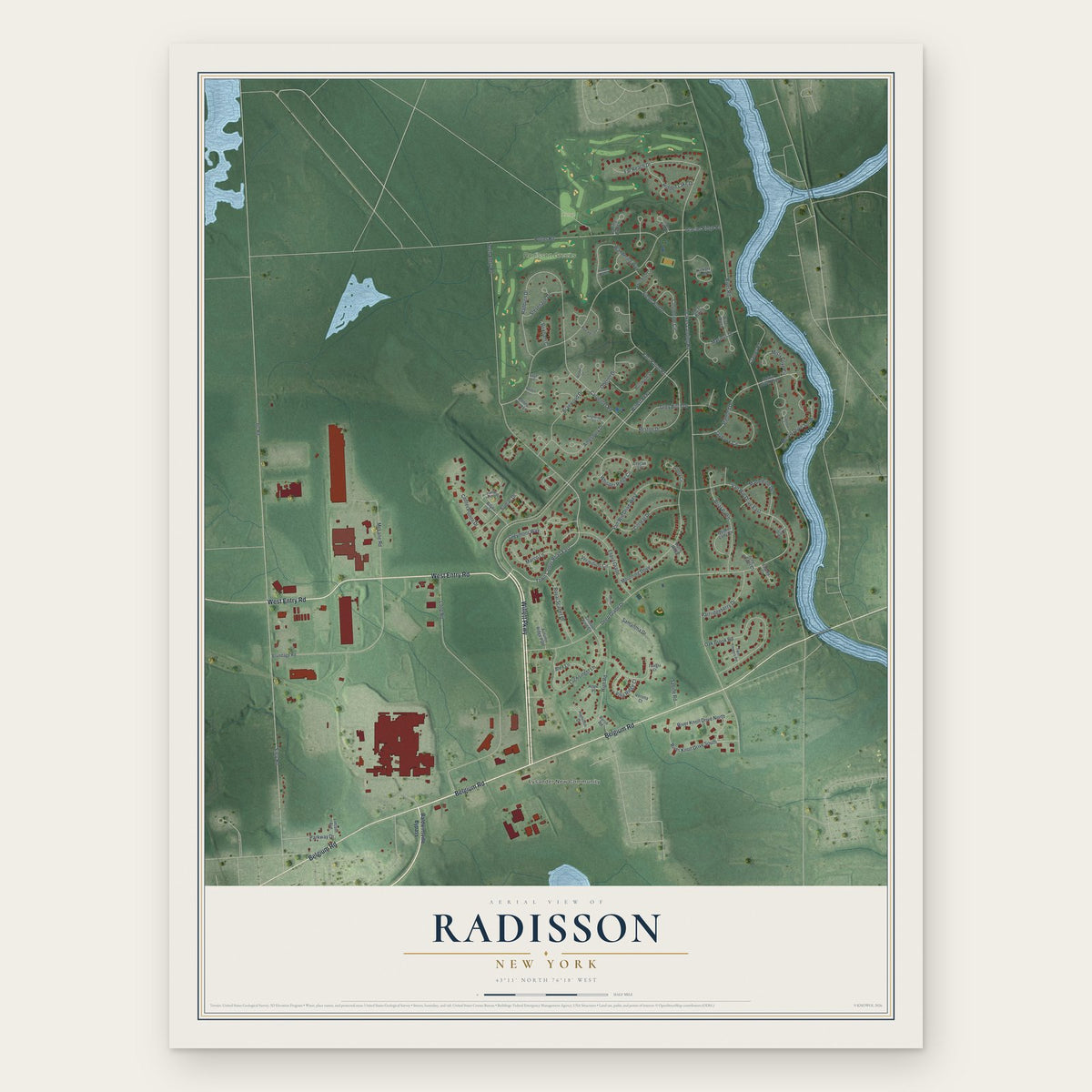
Radisson, New York Map Art
Building by building, with labeled streets and shaded relief.
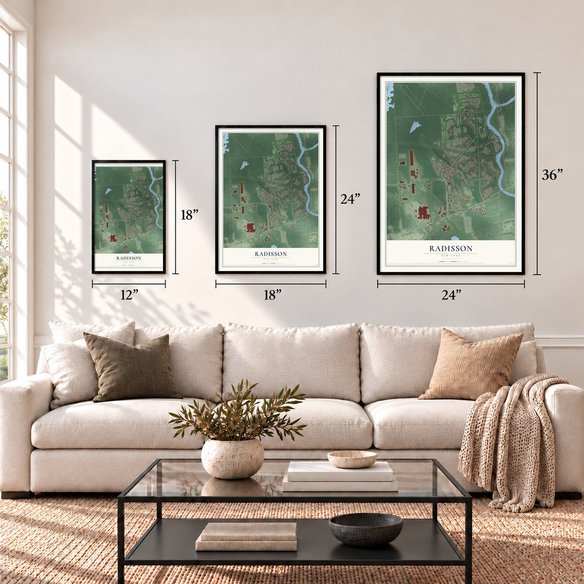
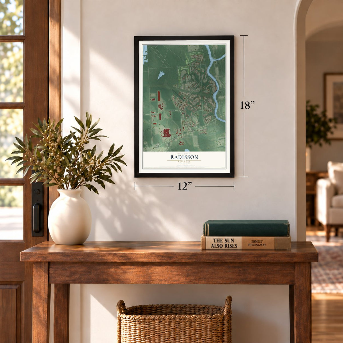
12" x 18" Archival Matte Print
A Map of Home. A Work of Art.
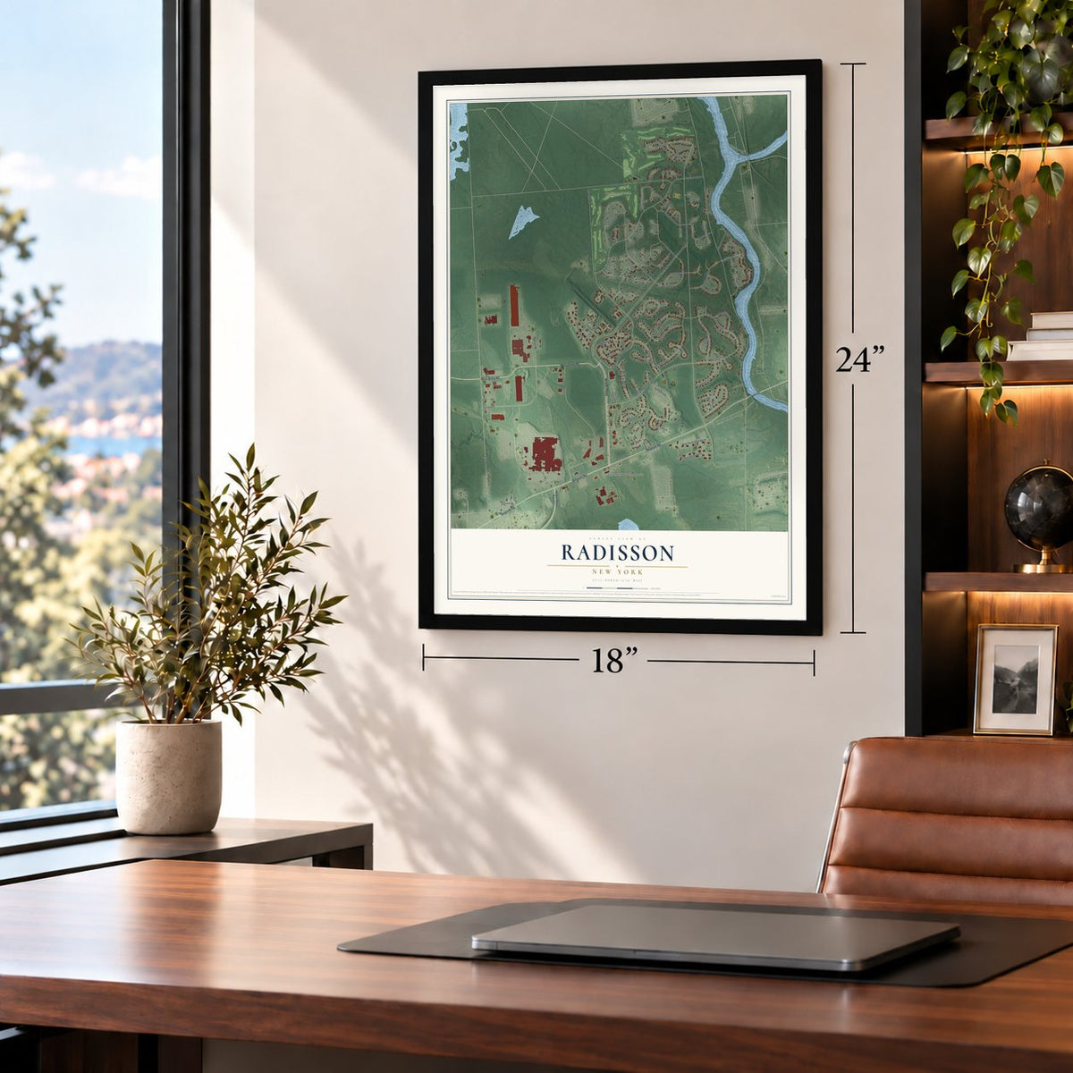
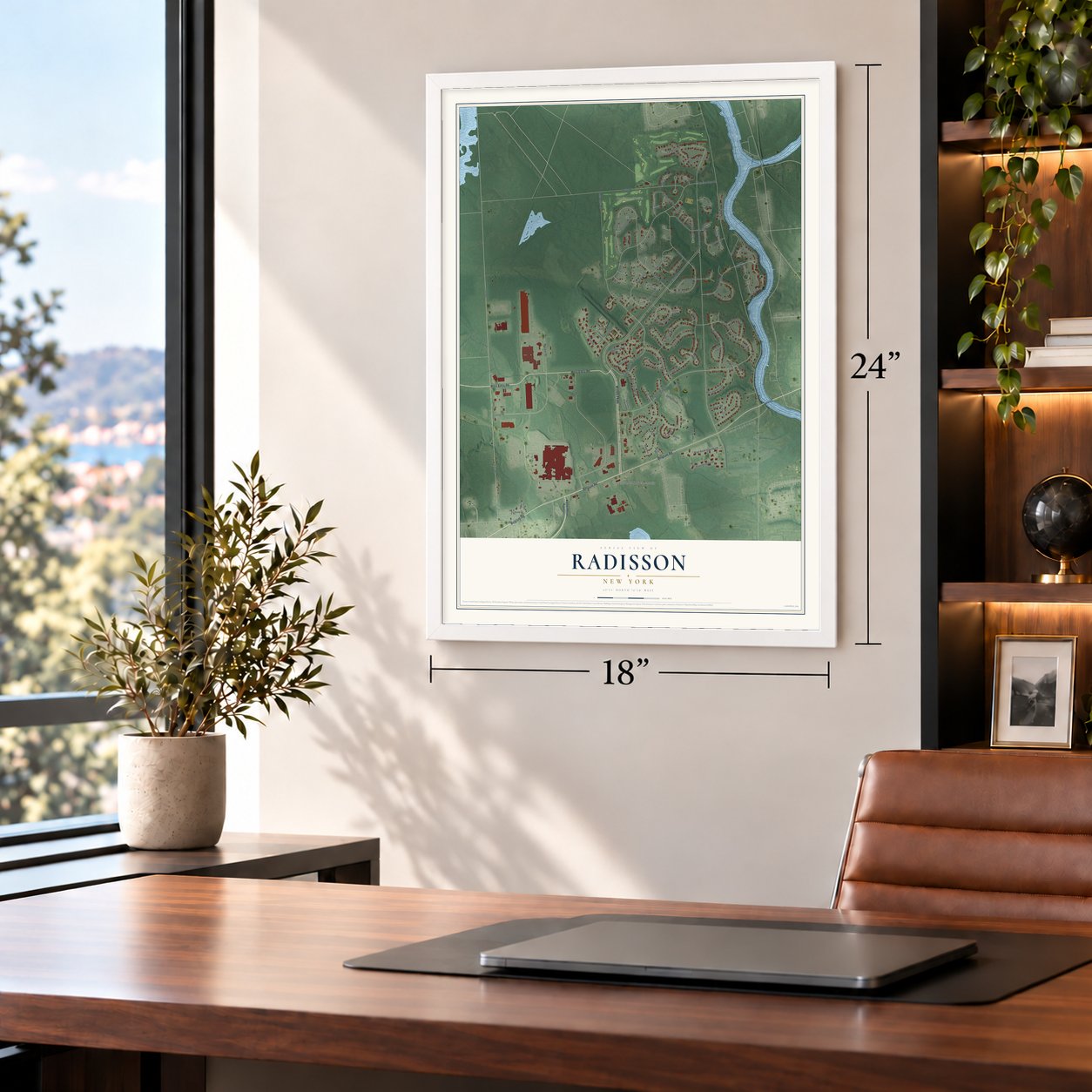
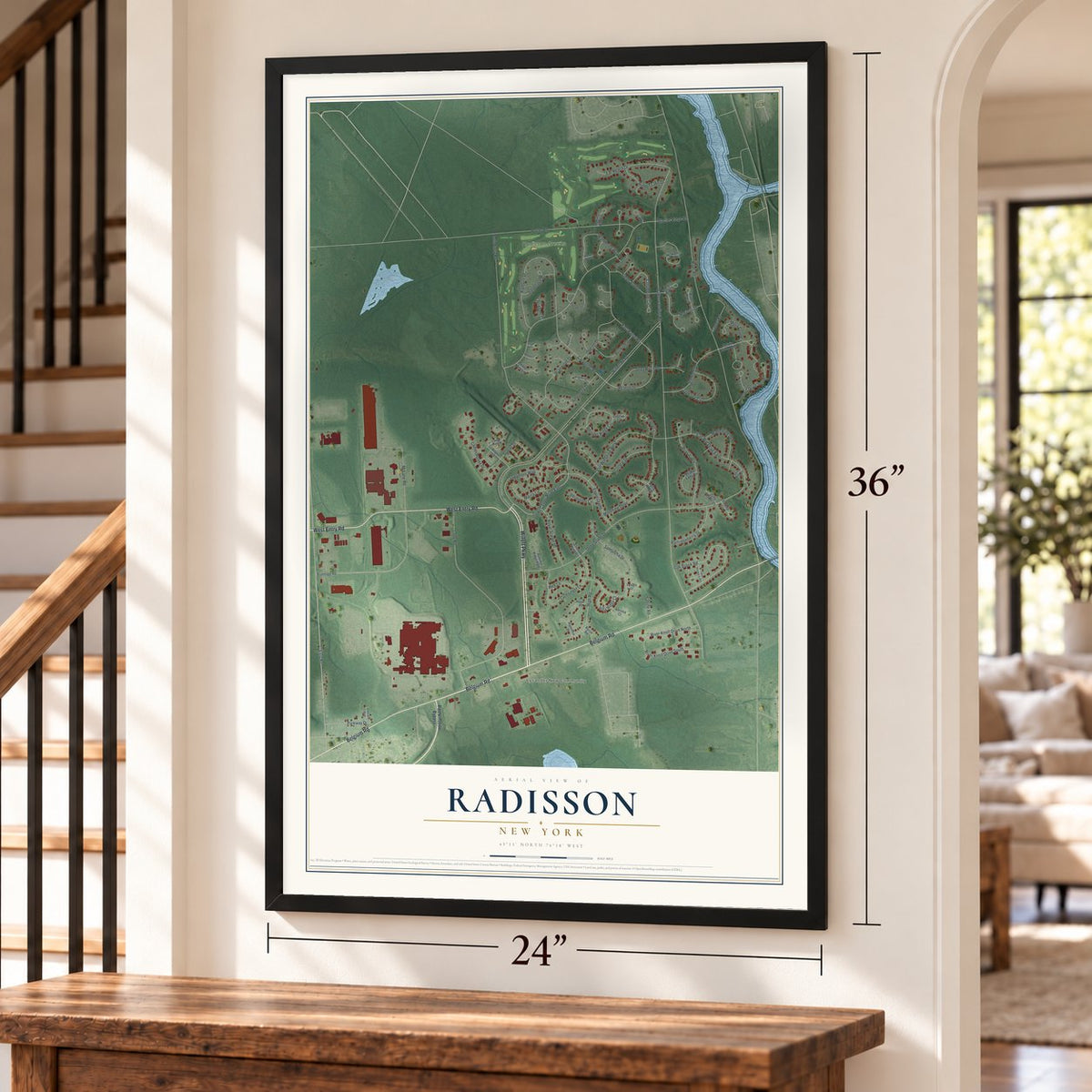
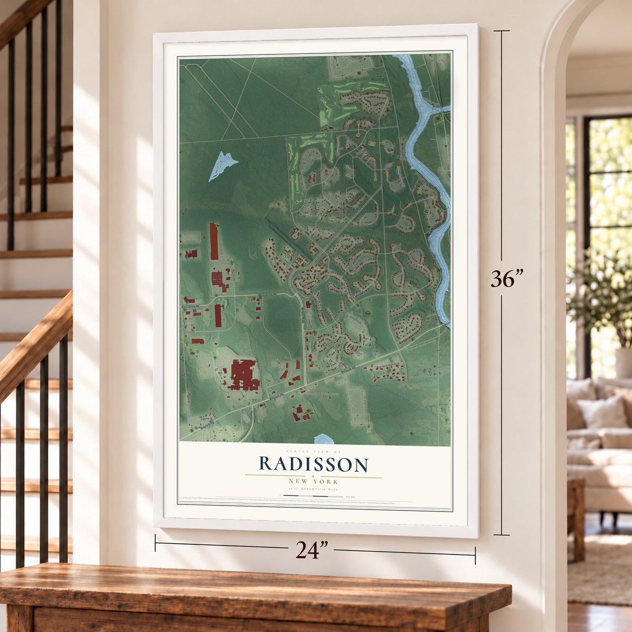
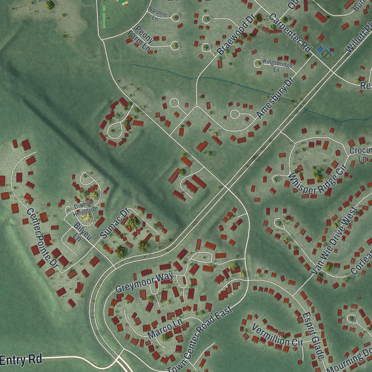
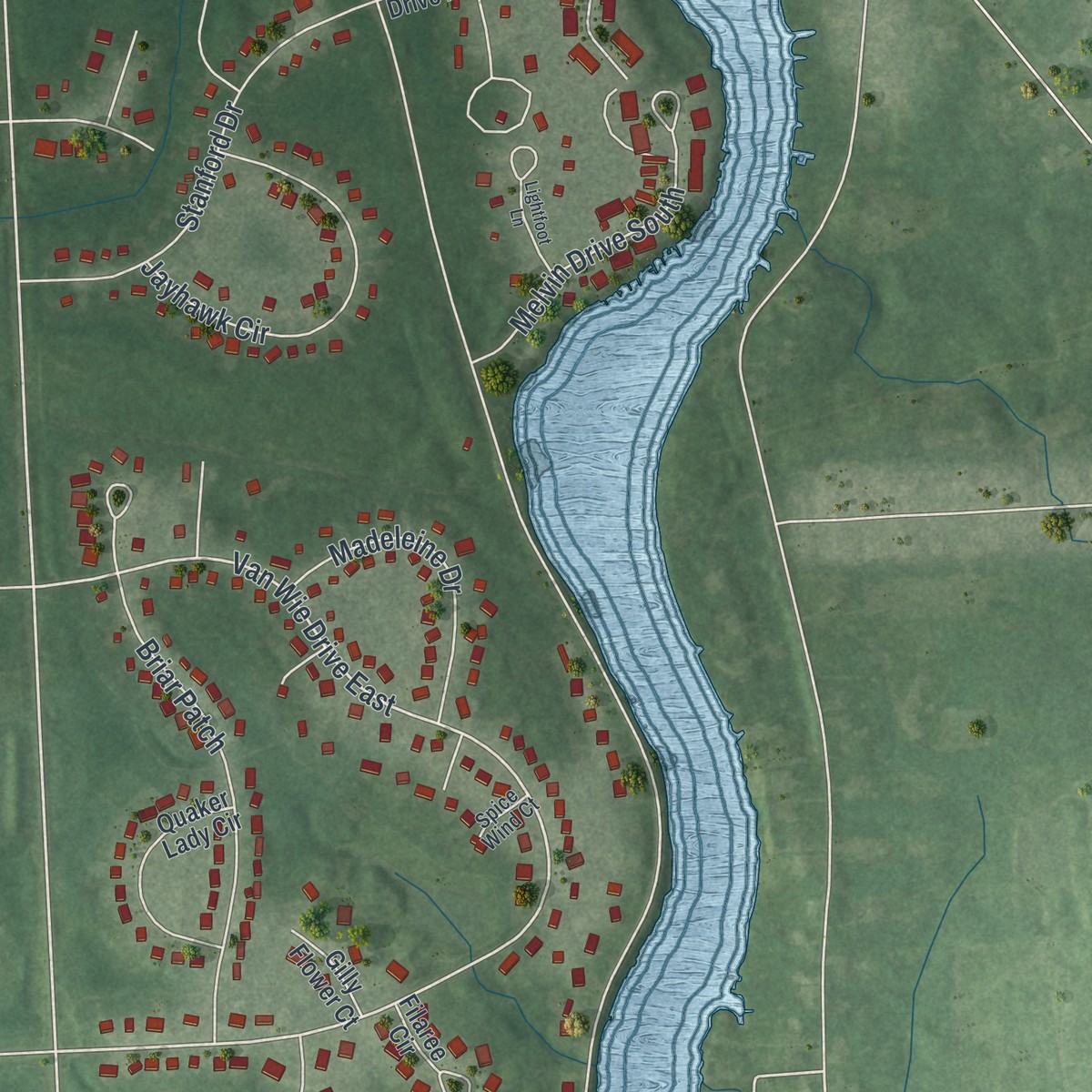
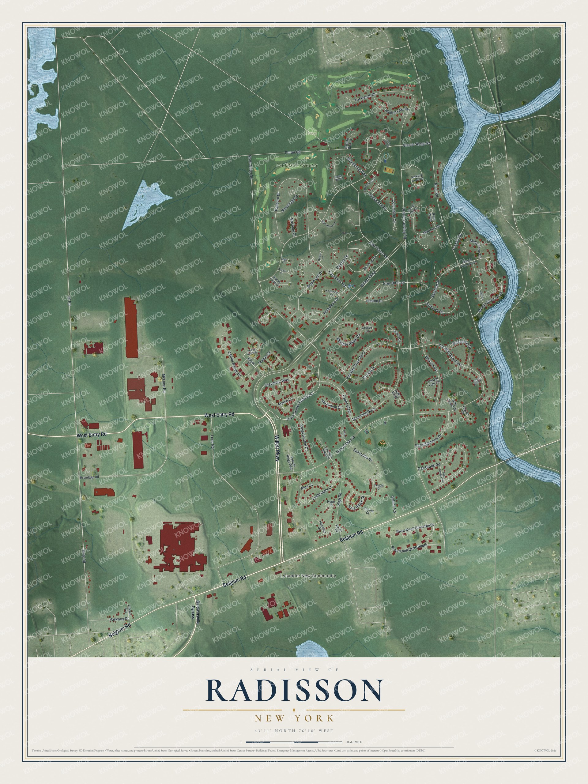
Explore Radisson, New York from a whole new perspective. Created using aerial imagery and detailed geographic data, this map captures Radisson building by building, with labeled streets, familiar landmarks, and shaded topographical relief that highlights the natural contours of the landscape.
Combining modern data with the timeless character of a vintage atlas, this map is just as interesting up close as it is beautiful on the wall. Whether you grew up in Radisson, spent memorable years there, or call it home today, this unique map is a great way to celebrate a place that means something to you. Zoom in on the preview to look for your street, and then order a print to put your memories on the wall.
Three ways to hang it
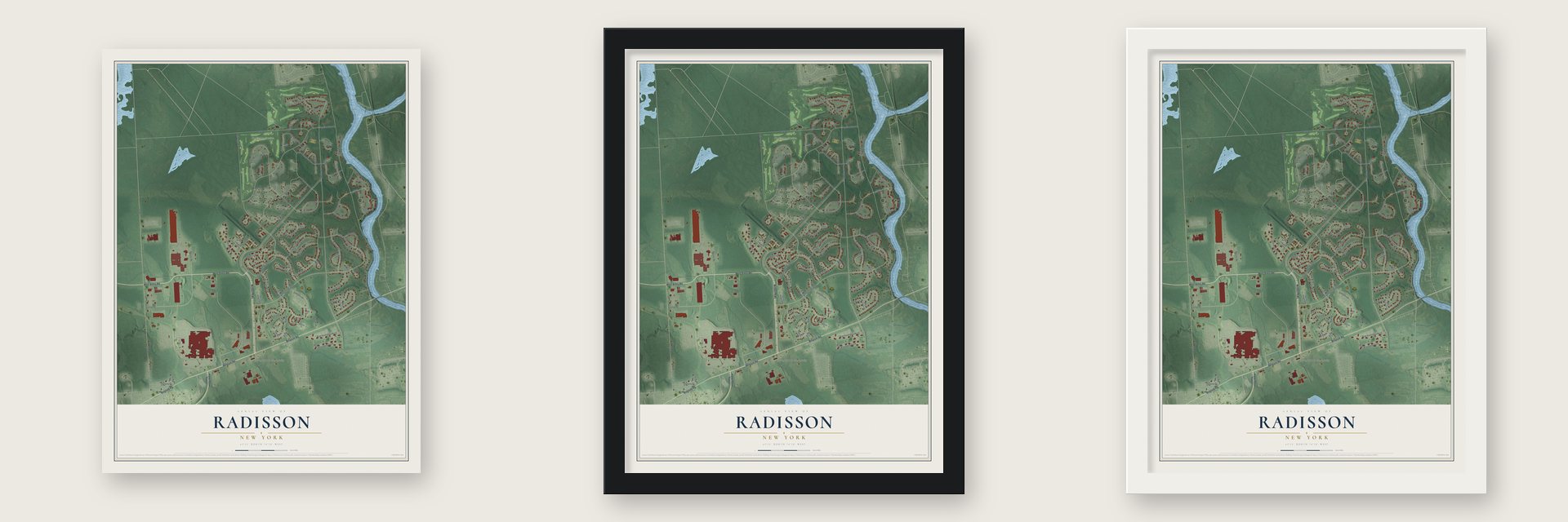
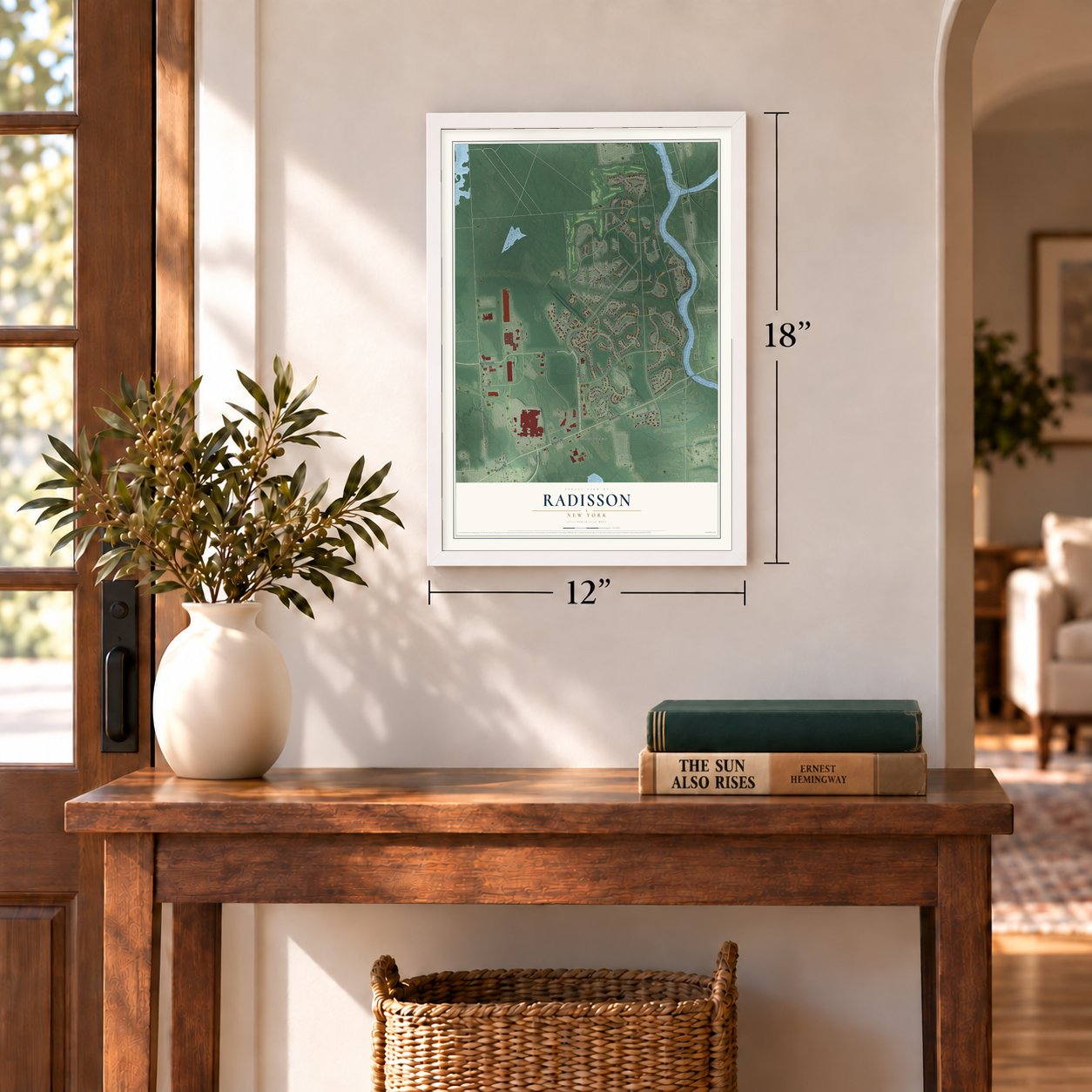
Unframed archival matte, a black wood frame or a white wood frame.
Up close
Geography Worth Displaying
This map was created using accurate cartographic data and authoritative geographic sources, including the U.S. Geological Survey and the Census Bureau. The map brings together terrain, waterways, roads, and building detail. The majority of the streets are labeled, houses are accurately depicted, and the topography is derived from government sources. Combining local data with carefully composed color and shading leads to this beautifully detailed Radisson artwork for your wall.
Rather than simply showing street outlines, we’ve included as many of the street names as we could reasonably fit on the map while keeping their names legible. Zoom in on the high resolution preview to see exactly what’s on the map. We truly set out to create a statement piece for anyone who loves Radisson. So whether it’s for you, or a gift for someone you love, we hope this map of Radisson brings back fond memories.
Read the story behind this map of Radisson, New York from 2026.
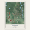
Find your street
Names on the Radisson map
Every name below is printed on this map. Look for your street, your school, the park where you played, or the pond down the road.
Places and landmarks3
- Lysander New Community
- Range
- Radisson Greens
Streets and roads97
- Willett Parkway
- West Entry Road
- Belgium Road
- Town Center Road East
- Van Wie Drive East
- Carpenter Road
- Drakes Landing Road
- Greymoor Way
- Reston Drive
- Sixty Road
- River Road
- 60 Road
- Glacier Ridge Road
- Loop Road
- North Entry Road
- Deep Glade Drive
- Radburn Drive
- Potter Road
- Oak Brook Road
- Samantha Drive
- Luchsinger Lane
- Mourning Dove
- Van Wie Drive West
- River Knoll Drive North
- Corlear Drive
- East Patrol Road
- Grey Birch Drive
- Whisper Ridge Circle
- McLane Road
- Center Pointe Drive
Show all 97 streets
- Wandering Way
- Briar Patch
- Stanford Drive
- Far Reach Drive
- Esprit Glade
- Braewood Drive
- Jayhawk Circle
- Amesbury Drive
- Melvin Drive South
- High Road
- Columbine Circle
- Royal Scarlet Drive
- Marinus Drive
- Marco Lane
- Partridgeberry Drive
- Oberon Drive
- Fields End Drive
- Madeleine Drive
- Hidden Lake Drive
- Misty Cove Circle
- River Knoll Drive South
- Sumac Drive
- Villa Ridge Court
- Stevenage Drive
- Cramer Road
- Alex Lane
- Vermillion Circle
- Sabine Road
- Brixham Court
- Parkway Drive
- Baldwinsville Bypass
- Melvin Drive North
- Bilyeu Lane
- Hickory Knoll Lane
- Burrwood Drive
- Alletta Circle
- Quaker Lady Circle
- Peony Farm Lane
- River Watch
- Darting Bird Lane
- Autumn Ridge Path
- Filaree Circle
- Hamilton Drive
- Holly Ridge
- Isle of Pines
- Crimson King Circle
- Lincoln Avenue
- Brundage Road
- Crocus Lane
- Hope Place
- Verona Court
- Gilly Flower Court
- Byron Road
- Blythewood Court
- Blue Heron Circle
- Hawks Watch
- Twin Flowers Road
- Sage Lane
- Twilight Court
- Spice Wind Court
- Drumlin Heights Drive
- Lightfoot Lane
- Kingsbridge Lane
- Cadys Arbor Road
- Walpole Lane
- Welwyn Lane
- Festival Court
Names are listed as they appear on the printed map. Zoom into the product photos to find them.
About Radisson, New York
Radisson is a planned community of 7,038 people in the town of Lysander, Onondaga County, beside the Seneca River near Baldwinsville. Its land was farm country until the Second World War. Three months after the United States joined the war, the Army Corps of Engineers ordered 250 families between the Oswego and Seneca Rivers to leave their homes, emptied about 8,000 acres and closed the roads into the area.
Within a month, more than 3,000 construction workers started on a huge ordnance plant, and by January 1943 it was making explosives and ammunition for the Allies. At its peak more than 8,000 men and women worked there. The plant shut down soon after the war ended. Its machinery was hauled away, its buildings were torn down, and the fenced ground slowly grew back into woods, ponds and streams.
- A new community from 1969After the war, the government gave 3,000 acres of the plant grounds to New York State for a game management area and held the other 3,000 for later use. In 1968 state Urban Development Corporation officials were steered to the site, and after nearly a year of study they proposed a brand new community to handle growth north of Syracuse. The corporation bought the land in 1969 and began developing it in 1971.
- Named for a French explorerThe community was first called the New Community of Lysander. Its later name honors Pierre-Esprit Radisson (1636 to 1710), who explored the Syracuse area in the mid-1600s. He was captured by Native American tribes while trapping and hunting, escaped, and later led scouting parties through Canada and the Great Lakes for both England and France. He also helped found the Hudson's Bay Company.
- A sculpture shaped like the vatsIn 1974 Sergi Yevich, a Baldwinsville architect who helped plan Radisson, designed the sculpture where Willett Parkway meets Route 31, marking the way into the corporate park. He modeled it on the cradles that once held the vats where the wartime plant made its explosives.
- Colonel Willett's land grantThe story of this ground goes back to the Revolution. Congress, grateful but short of money, paid Colonel Marinus Willett with a huge grant of land. His family sold off farm parcels over the years, and John Jacob Astor bought thousands of acres, then resold small pieces to homesteading farmers.
Keep exploring New York
Radisson is one of 2,112 New York towns we've mapped. Every dot on the map is a print of its own.
The search covers every state, New York first.
Near Radisson
Order 2 or more town maps and save 10%. Shown in the size and finish you picked above, so they hang as a set.
- Baldwinsville 12" x 18" / Archival Matte Print $39.99
- Phoenix 12" x 18" / Archival Matte Print $39.99
- Village Green 12" x 18" / Archival Matte Print $39.99
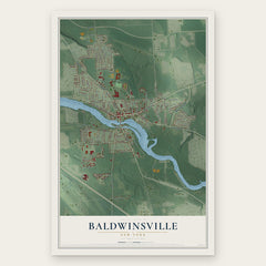

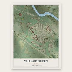
More maps nearby: Lysander, Elmcrest, Seneca Knolls, Long Branch and Van Buren.
The art of mapping a place
How This Map Was Made
Real places. Remarkable detail. Discover the layers that turn geographic data into a map of home.

The view from above
Aerial imagery reveals the character of the land: woodland, open fields, and the patterns of a place.

The shape of the land
Elevation data brings hills, valleys, and subtle changes in the landscape into view.

The details of home
Roads, waterways, and building footprints come together to make the map feel unmistakably local.

Geography becomes art
Considered color, shading, and typography bring the layers together in a map made for your wall.


Process illustrated with Mendon, Massachusetts. Aerial imagery: USDA NAIP. Terrain: USGS 3D Elevation Program. Map details and finished artwork: KNOWOL.
The Details
About This Print
Choose an archival matte print, or a black or white Ayous wood frame. The archival matte print is unframed.
Select your size and finish above to see the matching product image and price.
Materials & Craftsmanship
A contemporary map with the character of a classic atlas, printed on archival matte paper. Optional frames are made from Ayous wood.
Your printed map does not include the watermark shown in the full-map preview.
Shipping & Delivery
Free shipping within the United States. Every print is made to order in the USA.
Buying a gift? Add a note in your cart and we'll include it. We never put prices in the package.
Prints ship within 2 to 3 business days. Allow 7 to 10 days total from ordering for delivery. Timing may vary during holidays or periods of high order volume.
Read our shipping policy.
Returns and damaged prints
Each print is made to order. Change-of-mind refunds are not available after production.
If your print arrives damaged, misprinted or incorrect, contact support@knowol.com within 30 days of receiving it. Include your order number, photos and a description of the issue.
Read our full refund and replacement policy. For questions about your order, email support@knowol.com.