
Search for another town




Free U.S. delivery 7 to 10 days after you order
Roanoke Rapids, North Carolina Map Art
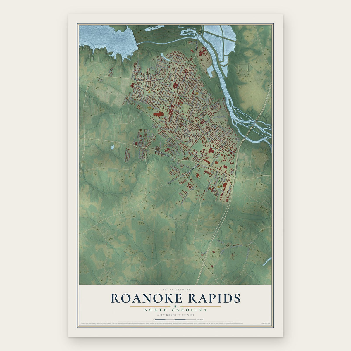
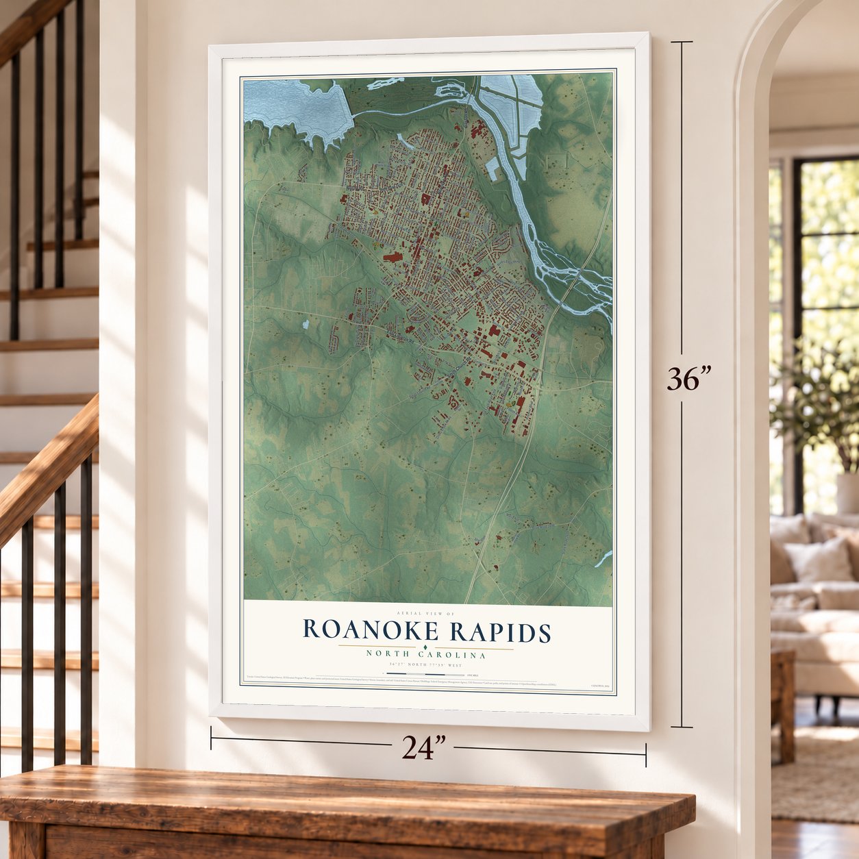
A new map of Roanoke Rapids, North Carolina, made in 2026 and printed to order on thick archival matte paper.
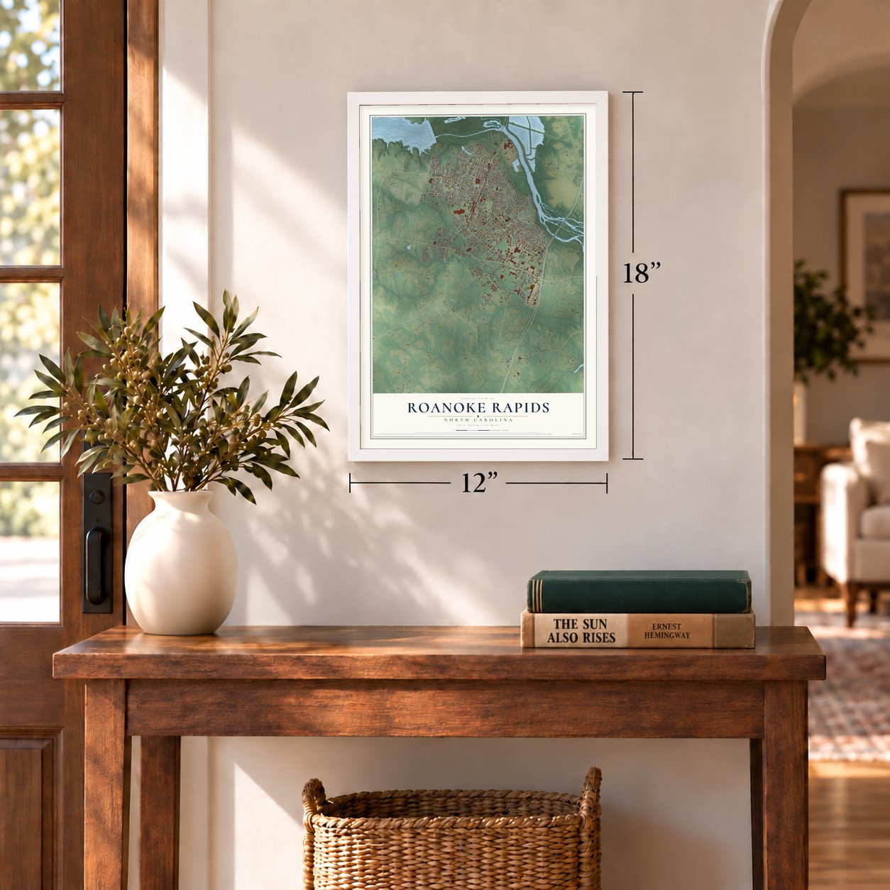
12" x 18" Archival Matte Print
A Map of Home. A Work of Art.
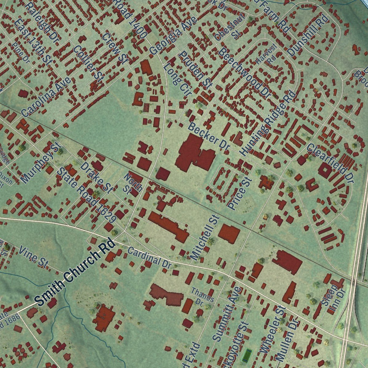
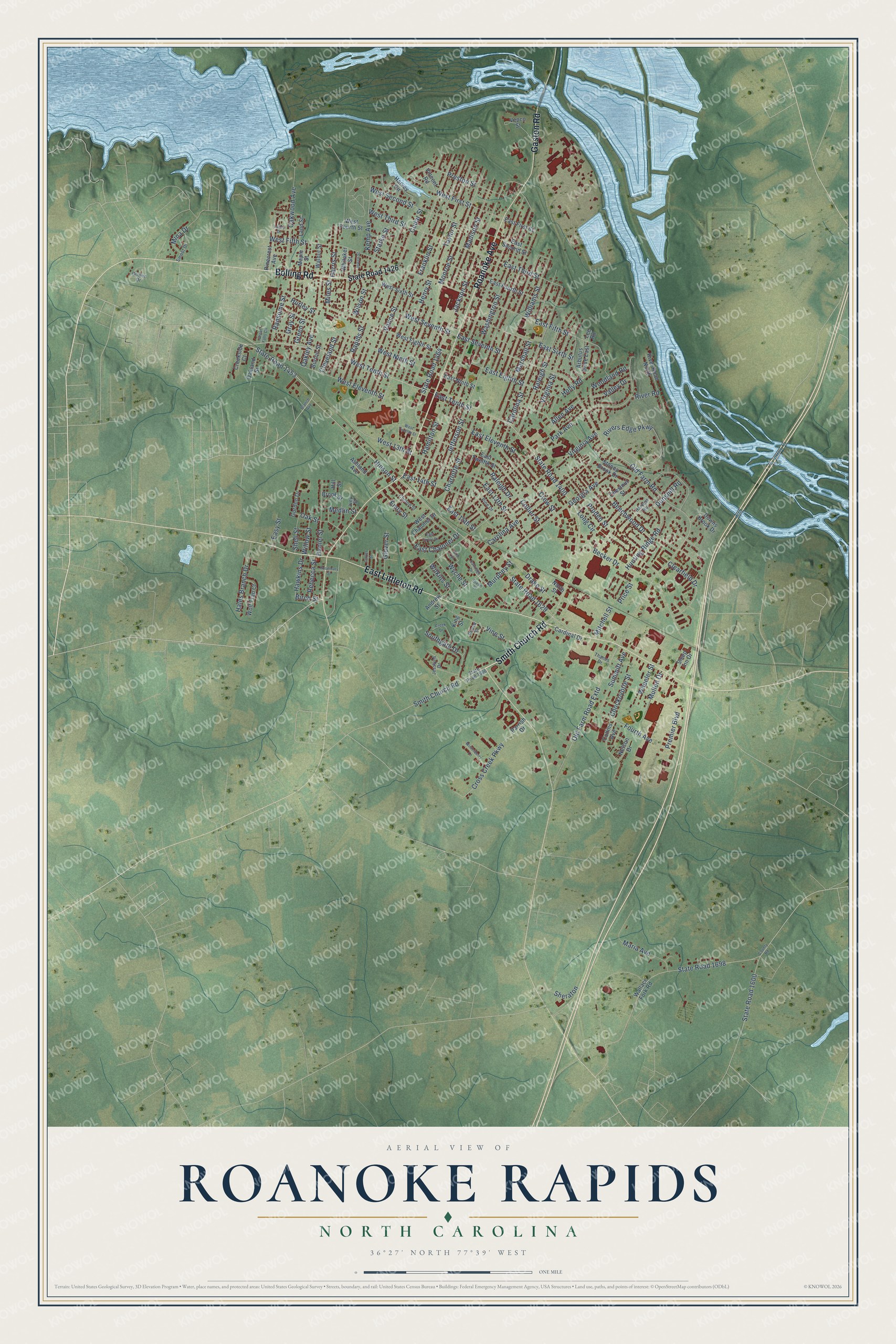
Explore Roanoke Rapids, North Carolina from a whole new perspective. Created using aerial imagery and detailed geographic data, this map captures Roanoke Rapids building by building, with labeled streets, familiar landmarks, and shaded topographical relief that highlights the natural contours of the landscape.
Combining modern data with the timeless character of a vintage atlas, this map is just as interesting up close as it is beautiful on the wall. Whether you grew up in Roanoke Rapids, spent memorable years there, or call it home today, this unique map is a great way to celebrate a place that means something to you. Zoom in on the preview to look for your street, and then order a print to put your memories on the wall.
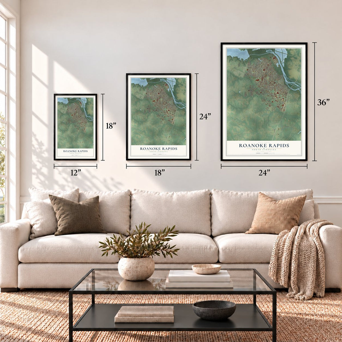
Three ways to hang it
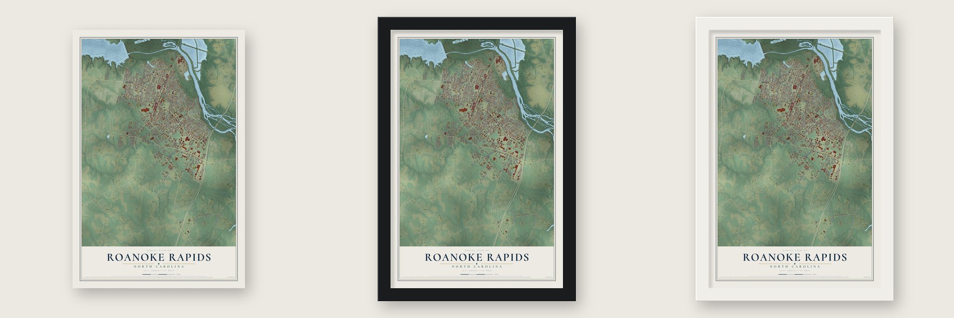
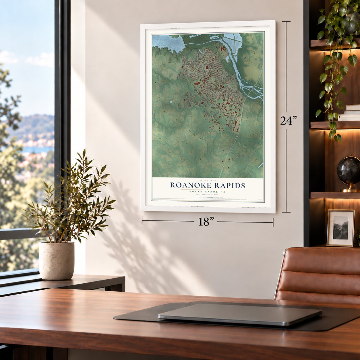
Unframed archival matte, a black wood frame or a white wood frame.
Up close
Geography Worth Displaying
This map was created using accurate cartographic data and authoritative geographic sources, including the U.S. Geological Survey and the Census Bureau. The map brings together terrain, waterways, roads, and building detail. The majority of the streets are labeled, houses are accurately depicted, and the topography is derived from government sources. Combining local data with carefully composed color and shading leads to this beautifully detailed Roanoke Rapids artwork for your wall.
Rather than simply showing street outlines, we’ve included as many of the street names as we could reasonably fit on the map while keeping their names legible. Zoom in on the high resolution preview to see exactly what’s on the map. We truly set out to create a statement piece for anyone who loves Roanoke Rapids. So whether it’s for you, or a gift for someone you love, we hope this map of Roanoke Rapids brings back fond memories.
Read the story behind this map of Roanoke Rapids, North Carolina from 2026.

About Roanoke Rapids, North Carolina
Roanoke Rapids is a city of 15,229 people in Halifax County, and it is the largest community in the county. It grew up on the Roanoke River at the fall line, where the hard rock of the Piedmont meets the coastal plain and the river breaks into rapids. Riverboats could not get past the falls, but the falling water could turn machinery, so textile makers built their mills here and the city began as a mill town.
Before the mills, the falls drew people who wanted to turn the Roanoke into a river of trade, and the canal they built still has its lock building from 1823. Every one of the textile mills has since closed, and nearly 3,000 workers lost their jobs. Today a WestRock plant makes paper in the city.
- The canal lock of 1823The old lock building now houses the Roanoke Canal Museum. It shows how the canal system helped the country push westward, who campaigned to open the river to boats and trade, and what goods moved on the water. A trail of more than seven miles runs beside the museum, mostly following the river. The Roanoke Canal joined the National Register in 1976.
- A castle for a high schoolIndustrialist Samuel Paterson built the original Roanoke Rapids High School, which opened in 1921 and still holds classes. Hobart Upjohn, grandson of Richard Upjohn of Trinity Church in New York, designed it in a modified H shape with Elizabethan Gothic and Tudor Revival details. It stands at the center of the city and joined the National Register in 1988. Next door, a second castle-like building that once served as a National Guard armory is now Roanoke Rapids Early College.
- The real Norma RaeCrystal Lee Sutton organized a union at the J.P. Stevens & Co. textile mill where she worked in Roanoke Rapids. Her fight to bring the union in became the basis for the movie Norma Rae.
- The Randy Parton TheaterLocal developers planned Carolina Crossroads, an entertainment district with an amphitheater, hotels, shops and a theater named for Randy Parton, brother of Dolly Parton. The city cut its ties with Parton in December 2006 and renamed the building the Roanoke Rapids Theater. Because the city carried the financial risk, the theater stayed controversial, and after nearly a decade of failing to lease or sell it, the city finally sold it on July 23, 2018.
Find your street
Names on the Roanoke Rapids map
Every name below is printed on this map. Look for your street, your school, the park where you played, or the pond down the road.
Places and landmarks1
- Emry Park
Streets and roads180
- Smith Church Road
- East Littleton Road
- Gaston Road
- Roanoke Avenue
- Bolling Road
- Franklin Street
- Hinson Street
- State Road 1453
- East Tenth Street
- West Tenth Street
- Old Farm Road Extd
- Old Farm Road
- Monroe Street
- West 13th Street
- State Road 1600
- East Seventh Street
- West Eleventh Street
- Birch Street
- Rivers Edge Parkway
- Medlin Street
- State Road 1400
- Hamilton Street
- Jefferson Street
- Vance Street
- Washington Street
- State Road 1464
- Henry Street
- Marshall Street
- Park Avenue
- Jackson Street
Show all 180 streets
- Virginia Avenue
- State Road 1629
- Carolina Street
- West Fifth Street
- Georgia Avenue
- Cedar Street
- Charlotte Street
- Madison Street
- Becker Drive
- Rapids Street
- Williams Street
- East Fifth Street
- State Road 1698
- Carolina Avenue
- East 13th Street
- Hunting Ridge Road
- West Second Street
- East Eleventh Street
- West Third Street
- West Seventh Street
- East Sixth Street
- Raleigh Street
- West Ninth Street
- East 14th Street
- Cross Creek Parkway
- Oakwood Avenue
- East Eighth Street
- Vine Street
- Oakley Avenue
- Virginia Street
- Fourth Avenue
- West First Street
- Wilson Street
- Maria Avenue
- Preston Street
- Kemp Avenue
- East Third Street
- Clearfield Drive
- Cleveland Street
- Daniel Street
- Premier Boulevard
- Drake Street
- Southgate Drive
- Hales Branch Drive
- Beechwood Drive
- Summitt Avenue
- Chockoyotte Street
- Pruden Street
- Holly Road
- Oak Street
- Harris Street
- Ransome Street
- East Chaloner Drive
- Raleigh Drive
- Starke Street
- Valley Drive
- Green Street
- Woodland Road
- Glover Street
- Murphey Street
- Wheeler Street
- Long Circle
- Mullen Drive
- Hawkins Drive
- Rebecca Street
- East 15th Street
- Taylor Street
- Wilkins Street
- Willow Street
- Collier Street
- Shell Street
- Wyche Street
- Crew Street
- Hurley Street
- Emry Street
- Mitchell Street
- Dunshill Road
- Allen Avenue
- Mina Drive
- Price Street
- Gray Street
- Miles Street
- River Road
- Easy Street
- Sheraton
- State Road 1426
- Wallace Fork Road
- West Eighth Street
- West Fourth Street
- East Ninth Street
- East Twelfth Street
- Parrish Drive
- East Fourth Street
- Collins Avenue
- Chestnut Street
- Pinecrest Avenue
- West Sixth Street
- Harvey Circle
- Downs Brook Drive
- Stoney Brook Drive
- East Second Street
- Vepco Street
- Wolf Trap Court
- West Chaloner Drive
- River Road North
- Arbutus Drive East
- Vincent Road
- Oakland Street
- Ashland Avenue
- East First Street
- Gordon Drive
- Cardinal Drive
- Walnut Street
- Maple Street
- Burton Street
- Andrew Street
- Whitaker Street
- Sleep Inn Drive
- Creekside Court
- Land Street
- Nelson Drive
- Brook Street
- North Street
- Hill Street
- King Street
- Lee Road
- State Road 1686
- Gowen Drive
- Jesslyns Drive
- Harvest Road
- Clinton Street
- Pine Drive
- Smoot Drive
- Thanos Drive
- Prince Street
- Ivey Street
- Branch Avenue
- County Road
- Creek Drive
- Rosemary Street
- West Twelfth Street
- Winterberry Lane
- East Circle Drive
- Jewell Street
- Elm Street
- Carter Street
- Oakridge Drive
- Great Falls Circle
- Lakey Drive
- Dixon Street
Names are listed as they appear on the printed map. Zoom into the product photos to find them.
The art of mapping a place
How This Map Was Made
Real places. Remarkable detail. Discover the layers that turn geographic data into a map of home.

The view from above
Aerial imagery reveals the character of the land: woodland, open fields, and the patterns of a place.

The shape of the land
Elevation data brings hills, valleys, and subtle changes in the landscape into view.

The details of home
Roads, waterways, and building footprints come together to make the map feel unmistakably local.

Geography becomes art
Considered color, shading, and typography bring the layers together in a map made for your wall.


Process illustrated with Mendon, Massachusetts. Aerial imagery: USDA NAIP. Terrain: USGS 3D Elevation Program. Map details and finished artwork: KNOWOL.
The Details
About This Print
Choose an archival matte print, or a black or white Ayous wood frame. The archival matte print is unframed.
Select your size and finish above to see the matching product image and price.
Materials & Craftsmanship
A contemporary map with the character of a classic atlas, printed on archival matte paper. Optional frames are made from Ayous wood.
Your printed map does not include the watermark shown in the full-map preview.
Shipping & Delivery
Free shipping within the United States. Every print is made to order in the USA.
Buying a gift? Add a note in your cart and we'll include it. We never put prices in the package.
Prints ship within 2 to 3 business days. Allow 7 to 10 days total from ordering for delivery. Timing may vary during holidays or periods of high order volume.
Read our shipping policy.
Returns and damaged prints
Each print is made to order. Change-of-mind refunds are not available after production.
If your print arrives damaged, misprinted or incorrect, contact support@knowol.com within 30 days of receiving it. Include your order number, photos and a description of the issue.
Read our full refund and replacement policy. For questions about your order, email support@knowol.com.
Find your town
Looking for another city?
Find a map of home in our North Carolina collection, or any town in the country.
Nearby
Maps of towns near Roanoke Rapids
Know someone from one of these towns? Their map makes a great gift.
 Weldon
, North Carolina
From $39.99See the map
 Gaston
, North Carolina
From $39.99See the map
 South Weldon
, North Carolina
From $39.99See the map
More maps nearby: South Rosemary, Garysburg, Halifax, Seaboard and Jackson.