
Search for another town


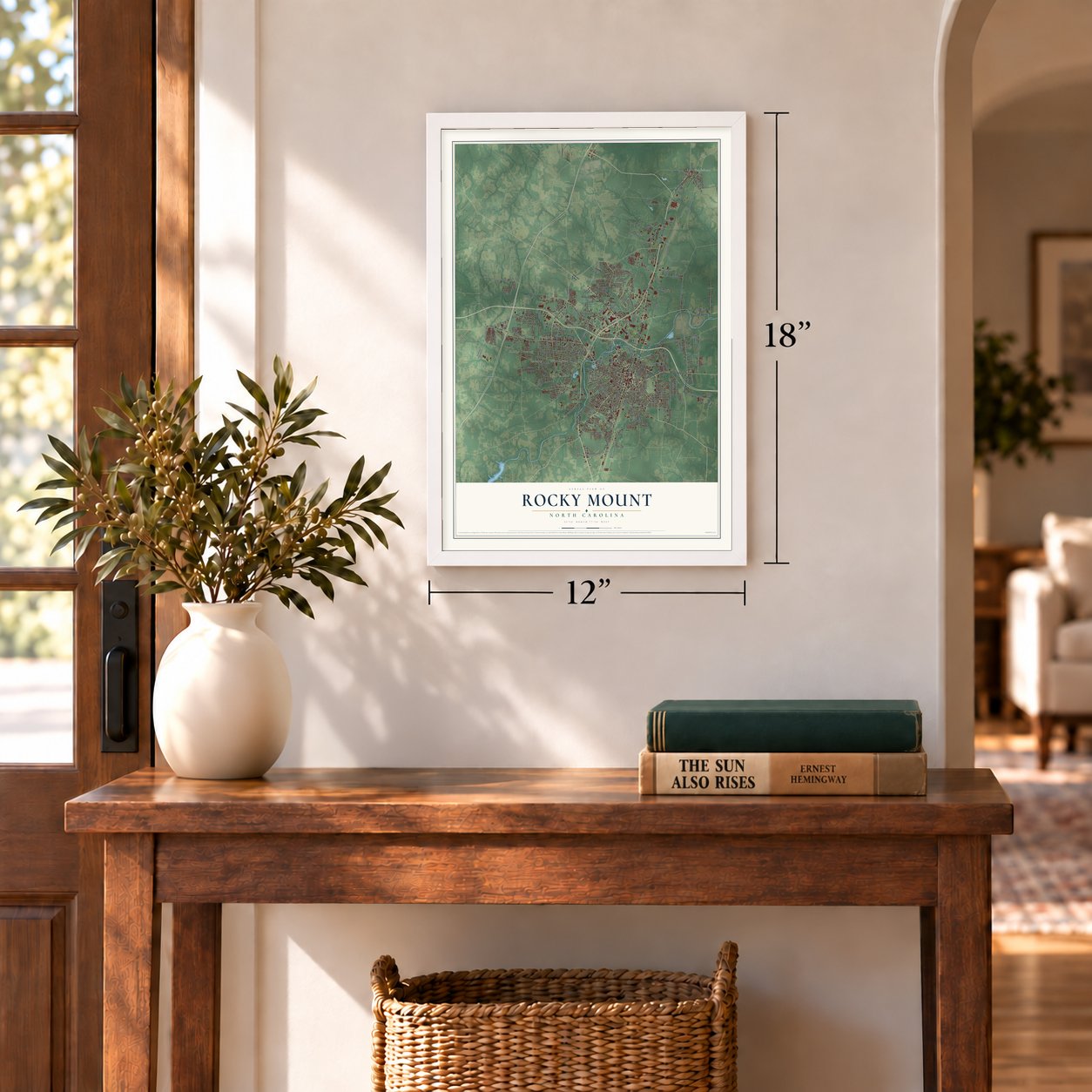

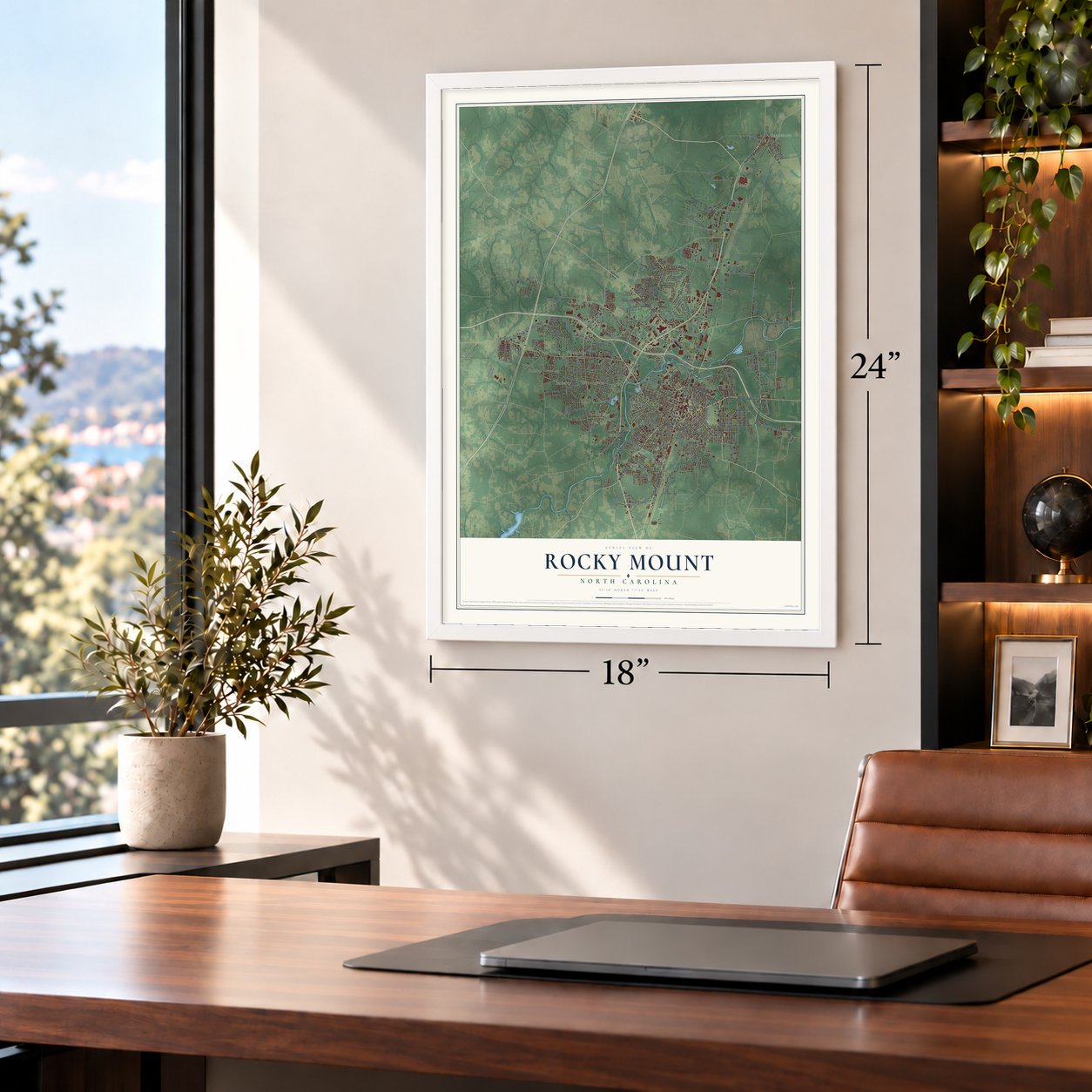
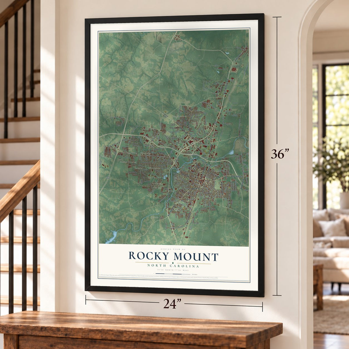
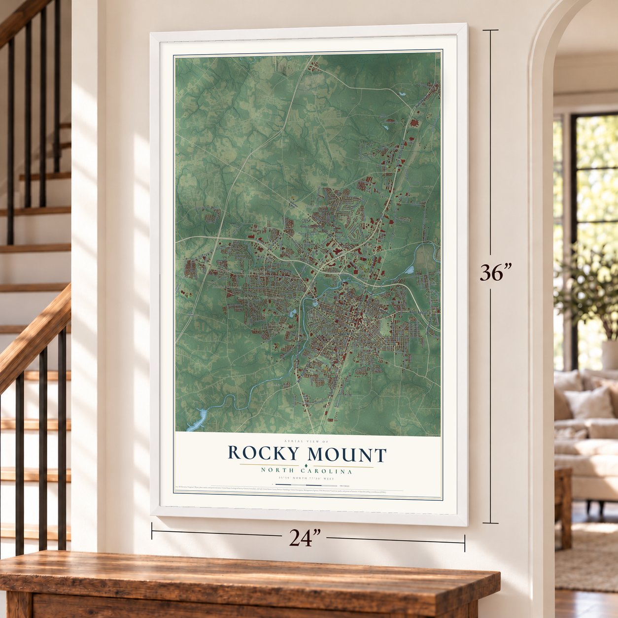

Free U.S. delivery 7 to 10 days after you order
Rocky Mount, North Carolina Map Art
Building by building, with labeled streets and shaded relief.
12" x 18" Archival Matte Print
A Map of Home. A Work of Art.
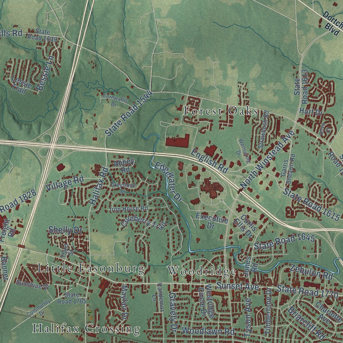
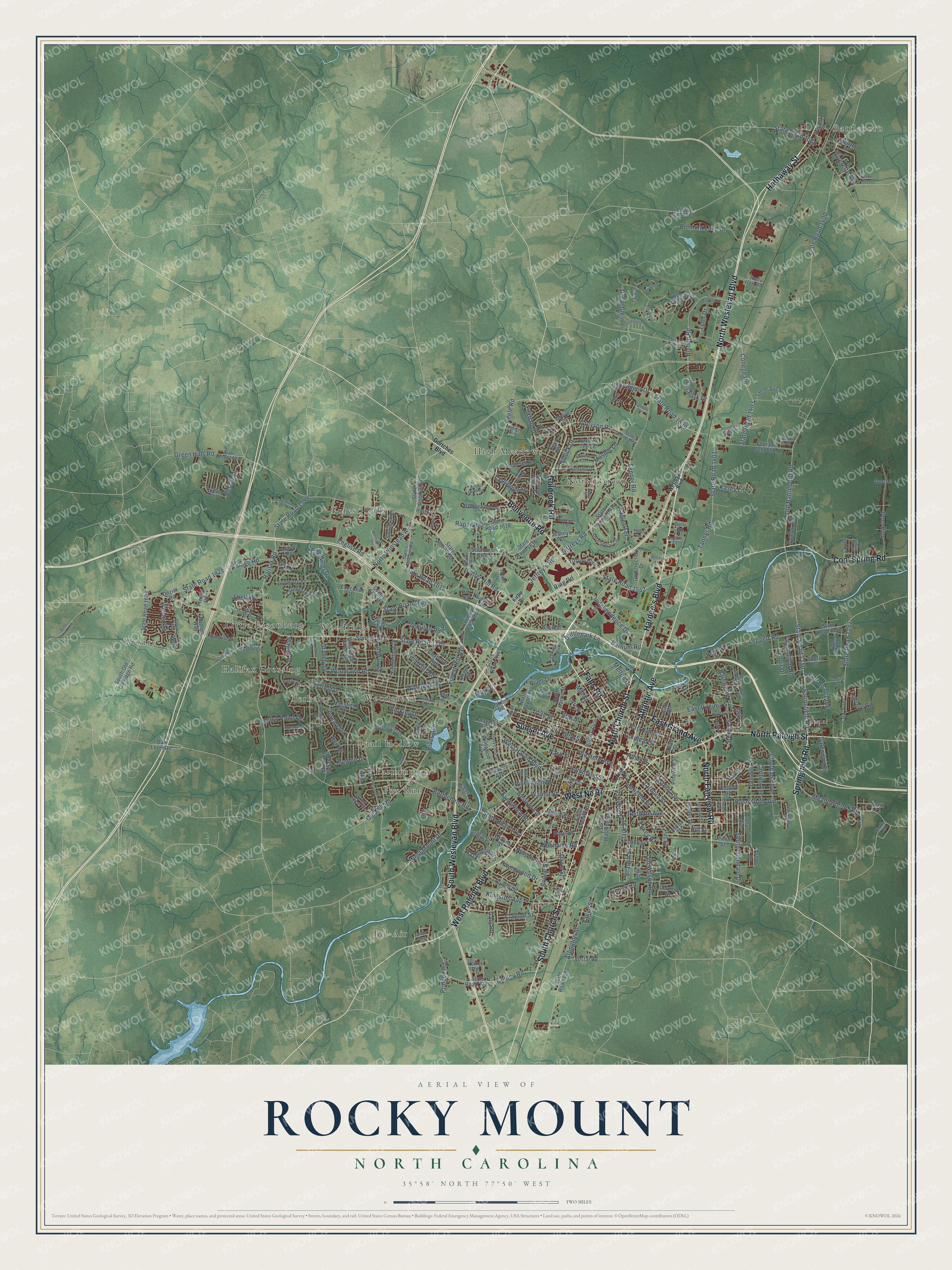
Explore Rocky Mount, North Carolina from a whole new perspective. Created using aerial imagery and detailed geographic data, this map captures Rocky Mount building by building, with labeled streets, familiar landmarks, and shaded topographical relief that highlights the natural contours of the landscape.
Combining modern data with the timeless character of a vintage atlas, this map is just as interesting up close as it is beautiful on the wall. Whether you grew up in Rocky Mount, spent memorable years there, or call it home today, this unique map is a great way to celebrate a place that means something to you. Zoom in on the preview to look for your street, and then order a print to put your memories on the wall.
Three ways to hang it
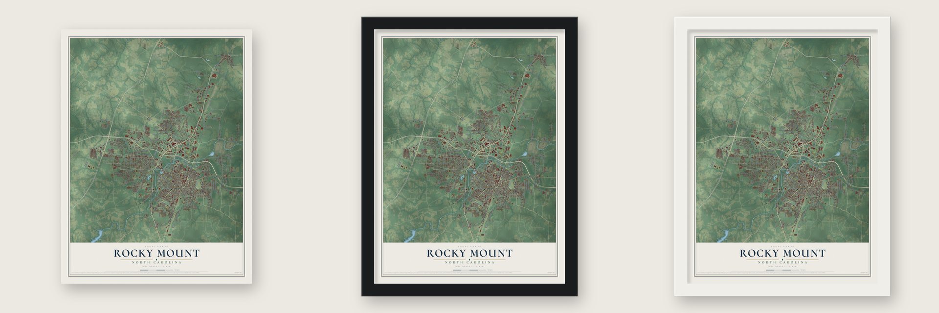
Unframed archival matte, a black wood frame or a white wood frame.
Up close
Geography Worth Displaying
This map was created using accurate cartographic data and authoritative geographic sources, including the U.S. Geological Survey and the Census Bureau. The map brings together terrain, waterways, roads, and building detail. The majority of the streets are labeled, houses are accurately depicted, and the topography is derived from government sources. Combining local data with carefully composed color and shading leads to this beautifully detailed Rocky Mount artwork for your wall.
Rather than simply showing street outlines, we’ve included as many of the street names as we could reasonably fit on the map while keeping their names legible. Zoom in on the high resolution preview to see exactly what’s on the map. We truly set out to create a statement piece for anyone who loves Rocky Mount. So whether it’s for you, or a gift for someone you love, we hope this map of Rocky Mount brings back fond memories.
Read the story behind this map of Rocky Mount, North Carolina from 2026.

Find your street
Names on the Rocky Mount map
Every name below is printed on this map. Look for your street, your school, the park where you played, or the pond down the road.
Places and landmarks14
- Battleboro
- Bel-Air
- Berkeley
- Farmington
- Forest Oaks
- Fox Run
- Halifax Crossing
- High Meadows
- Little Easonburg
- North Green
- Quail Hollow
- Westry
Show all 14 places
- Woodgreen
- Woodridge
Streets and roads319
- North Wesleyan Boulevard
- West Nc 97
- South Church Street
- North Church Street
- Atlantic Avenue
- Sunset Avenue
- Hathaway Street
- East Grand Avenue
- Springfield Road
- North Fairview Road
- Benvenue Road
- Falls Road
- South Wesleyan Boulevard
- North Raleigh Street
- West Raleigh Boulevard
- Cool Spring Road
- Goldrock Road
- Hardee's Boulevard
- State Road 1770
- Hammond Street
- Cokey Road
- Nashville Road
- State Road 1542
- Bethlehem Road
- Tarboro Street
- State Road 1250
- Halifax Road
- Battlepark Lane
- Evergreen Road
- North Winstead Avenue
Show all 319 streets
- Zebulon Road
- Raper Road
- Hunter Hill Road
- State Road 1544
- Belmont Lake Drive
- State Road 1714
- Leggett Road
- Old Mill Road
- Meadowbrook Road
- Fenner Road
- Old Battleboro Road
- State Road 1400
- Arlington Street
- Winstead Road
- Eastern Avenue
- Jeffreys Road
- English Road
- State Road 1615
- State Road 1401
- Tanner Road
- State Road 1539
- Instrument Drive
- College Road
- State Road 1403
- Hill Street
- West Mount Drive
- Western Avenue
- Rives Avenue
- East Virginia Street
- Rosewood Avenue
- West Haven Boulevard
- Cox Avenue
- State Road 1251
- Paul Street
- Bishop Road
- Independence Drive
- Gay Street
- Branch Street
- River Drive
- State Road 1828
- Deer Run
- Woodlawn Road
- Cooley Road
- Kingston Avenue
- Peele Road
- Ring Road
- Beal Street
- Vance Street
- Foxhall Drive
- Tyler Drive
- Jeffrey's Road
- Old Wilson Road
- Nash Street
- Greyson Road
- Mashie Lane
- Clark Street
- Pender Street
- Boone Street
- Dreaver Street
- Farmington Road
- Green Hills Road
- Redgate Avenue
- Barnes Street
- Clayton Street
- Pinehaven Drive
- Great Glen
- South Glendale Drive
- State Road 1645
- Marigold Street
- Rose Street
- Forest Hill Avenue
- Lincoln Drive
- State Road 1560
- Briarcliff Road
- Courtland Avenue
- Berkley Drive
- Edgewater Drive
- Melton Drive
- Ravenwood Drive
- Tyson Avenue
- Joelene Drive
- Henry Street
- Stokes Street
- Niblick Drive
- State Road 1266
- Mill Street
- Westry Road
- Eagles Terrace
- Dalewood Drive
- Ketch Point Drive
- Hazelwood Drive
- Barnum Road
- Pridgen Road
- Village Road
- Carlton Avenue
- Crabapple Lane
- Viverette Avenue
- Goldleaf Street
- Lenoir Drive
- Bessie Lane
- Shreve Road
- Jeremy Lane
- Nelson Street
- Davis Street
- Bus Park Drive
- Walnut Street
- Gravely Drive
- Star Street
- Avalon Road
- Bell Drive
- Pitt Street
- Shelly Drive
- Kasey Lane
- Gary Road
- May Drive
- Tiffany Boulevard
- North Grace Street
- Overton Drive
- State Road 1613
- State Road 1604
- Country Club Road
- State Road 1616
- State Road 1243
- State Road 1152
- South Franklin Street
- State Road 1618
- State Road 1729
- Fountain School Road
- South Washington Street
- State Road 1603
- Bridgewood Road
- Lafayette Avenue
- Mansfield Drive
- South Old Carriage Road
- East Holly Street
- State Road 1541
- Michael Scott Drive
- Lynne Avenue
- Dozier Road
- Sheffield Drive
- Bedford Road
- Park Avenue
- Rex Street
- Westwood Drive
- Mayfair Drive
- Powell Drive
- Wildwood Avenue
- North Harris Street
- Charlotte Avenue
- North Taylor Street
- Jones Road
- Pineview Street
- Green Tee Lane
- Coleberry Trail
- Construction Drive
- Westridge Circle Drive
- Ashland Avenue
- Lessie Trail
- Harper Street
- Stone Rose Avenue
- Holder Drive
- Timberlane Drive
- Sparrow Hawk Lane
- Lake Drive
- King Circle
- Executive Drive
- Dana Lane
- Southern Boulevard
- Jeffreys Court
- Porter Road
- Vestal Road
- State Road 1524
- Freight Road
- Red Iron Road
- Banner Way
- Marlee Drive
- Lily Walk
- Carr Street
- Denton Street
- Cedar Street
- Griffin Street
- Neville Lane
- Wilkins Street
- Curtis Ellis Drive
- Marvelle Avenue
- Shore Drive
- Oak Level Road
- Abbey Road
- Delphia Drive
- Kirby Drive
- Ruby Avenue
- Noell Drive
- Nance Street
- Birch Street
- Grove Drive
- Archer Drive
- Gelo Road
- Doe Lane
- Hurt Drive
- Denzel Lane
- Dover Road
- Lewy Lane
- Olive Street
- Kent Drive
- Dortches Boulevard
- Third Street
- The Oaks
- Beechwood Drive
- State Road 1557
- State Road 1609
- Short Spoon Circle
- Marriott Street
- Fountain Park Drive
- York Street
- Drivers Circle
- Sunshine Drive
- State Road 1765
- Westminster Drive
- Waterloo Drive
- Belmont Farms Parkway
- Garris Shearin Road
- Hunter Street
- Iron Horse Road
- Strawbush Road
- Rosemount
- Sedgefield Drive
- Spring Forest Drive
- Chelsea Drive
- Commodore Drive
- Tayriver
- Tyan Street
- Stone Drive
- Ellison Drive
- Linden Avenue
- Kandemor Lane
- Sarah Lane
- Pelham Road
- Bunn Avenue
- Parrish Street
- Canopy Drive
- Alton Street
- Boddie Court
- Horne Street
- Treasa Drive
- Anne Street
- Sandy Lane
- Bryant Street
- Brake Road
- Wesleyan Boulevard
- State Road 1545
- Greystone Drive
- Jason Drive
- State Road 1537
- Community Drive
- Pinehurst Drive
- Ferndale Drive
- State Road 1145
- Falling River Walk
- Shady Circle Drive
- Old Barn Road
- Cardinal Avenue
- Luper Street
- Harbour West Drive
- Proctor Street
- Cornwallis Drive
- Daffodil Way
- Walter Avenue
- Crosswinds Drive
- Turnberry
- Katherine Trail
- Mobile Drive
- Hansford Drive
- Wellspring Drive
- Whatley Drive
- Drew Street
- Willow Glynn Road
- Whitehall Drive
- Aberdeen
- Marshall Lane
- Sullivan Lane
- Rouse Road
- Mosley Drive
- Pamela Lane
- Weed Road
- Echo Lake Lane
- Dove Court
- Blaire Street
- Oak Bend
- Moye Court
Names are listed as they appear on the printed map. Zoom into the product photos to find them.
About Rocky Mount, North Carolina
Rocky Mount is a city of 54,341 people in Nash and Edgecombe counties, at the falls of the Tar River. The Tuscarora lived along the river until the Tuscarora War of the early 1700s drove most of them north. English-speaking settlers followed, and in 1757 they started a Primitive Baptist congregation named for the falls, whose records became the village's first civil records. A post office opened at the falls on March 22, 1816, named for the rocky mound there.
Two years later, Joel Battle and two partners built Rocky Mount Mills, the second cotton mill in North Carolina, using the falling water for power. Enslaved African Americans worked the mill until the 1850s. Union troops under Brig. Gen. Edward E. Potter burned it in 1863 because it made yarn and cloth for the Confederacy, and the owners rebuilt it after the war. On February 19, 1867, the mill village was incorporated as a town, and on February 28, 1907, with about 7,500 people, it became a city.
- Rails on Christmas Eve 1839The tracks of the Wilmington and Weldon Railroad, which the Battle family helped build, came to Rocky Mount on Christmas Eve, 1839. In 1840 a train headed for Wilmington stopped here to load Old Nash, the county's apple brandy, for toasts at the opening celebration, and the brandy's fame spread. The town grew toward the tracks, and in 1871 the line between the two counties shifted from the Tar River to the center of the railroad.
- June Germans in the warehousesBrightleaf tobacco grew well in the sandy soil of the nearby coastal plain, and before the 19th century ended it had passed cotton as the town's main crop. Starting in the 1880s, the tobacco warehouses held community balls in June. These June Germans grew into all-night dances that pulled in bands and society guests from far away, and they kept going into the 1900s.
- Dr. King's dream in 1962Martin Luther King Jr. spoke at Booker T. Washington High School on November 27, 1962, and used the refrain "I have a dream" a year before the March on Washington made it famous.
Keep exploring North Carolina
Rocky Mount is one of 951 North Carolina towns we've mapped. Every dot on the map is a print of its own.
The search covers every state, North Carolina first.
Near Rocky Mount
Order 2 or more town maps and save 10%. Shown in the size and finish you picked above, so they hang as a set.
- Dortches 12" x 18" / Archival Matte Print $39.99
- Sharpsburg 12" x 18" / Archival Matte Print $39.99
- West Edgecombe 12" x 18" / Archival Matte Print $39.99
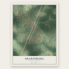
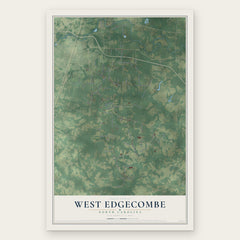
More maps nearby: Nashville, Red Oak, Whitakers, Elm City and Leggett.
The art of mapping a place
How This Map Was Made
Real places. Remarkable detail. Discover the layers that turn geographic data into a map of home.

The view from above
Aerial imagery reveals the character of the land: woodland, open fields, and the patterns of a place.

The shape of the land
Elevation data brings hills, valleys, and subtle changes in the landscape into view.

The details of home
Roads, waterways, and building footprints come together to make the map feel unmistakably local.

Geography becomes art
Considered color, shading, and typography bring the layers together in a map made for your wall.


Process illustrated with Mendon, Massachusetts. Aerial imagery: USDA NAIP. Terrain: USGS 3D Elevation Program. Map details and finished artwork: KNOWOL.
The Details
About This Print
Choose an archival matte print, or a black or white Ayous wood frame. The archival matte print is unframed.
Select your size and finish above to see the matching product image and price.
Materials & Craftsmanship
A contemporary map with the character of a classic atlas, printed on archival matte paper. Optional frames are made from Ayous wood.
Your printed map does not include the watermark shown in the full-map preview.
Shipping & Delivery
Free shipping within the United States. Every print is made to order in the USA.
Buying a gift? Add a note in your cart and we'll include it. We never put prices in the package.
Prints ship within 2 to 3 business days. Allow 7 to 10 days total from ordering for delivery. Timing may vary during holidays or periods of high order volume.
Read our shipping policy.
Returns and damaged prints
Each print is made to order. Change-of-mind refunds are not available after production.
If your print arrives damaged, misprinted or incorrect, contact support@knowol.com within 30 days of receiving it. Include your order number, photos and a description of the issue.
Read our full refund and replacement policy. For questions about your order, email support@knowol.com.