
Search for another town




Free U.S. delivery 7 to 10 days after you order
Ruston, Louisiana Map Art
A new map of Ruston, Louisiana, made in 2026 and printed to order on thick archival matte paper.
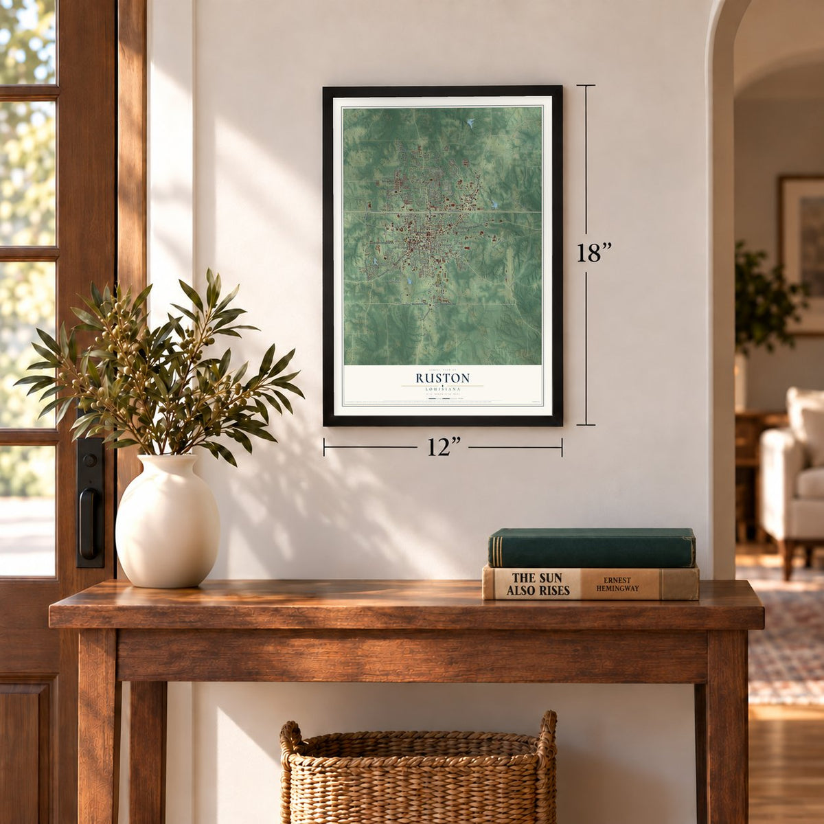
12" x 18" Archival Matte Print
A Map of Home. A Work of Art.
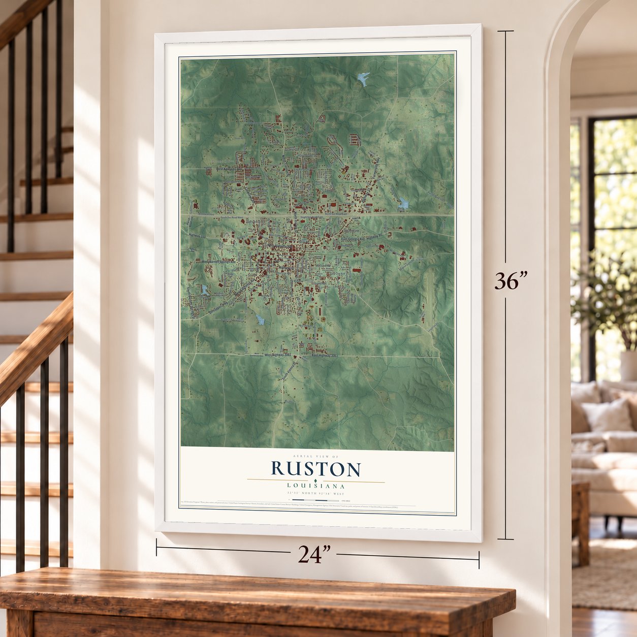
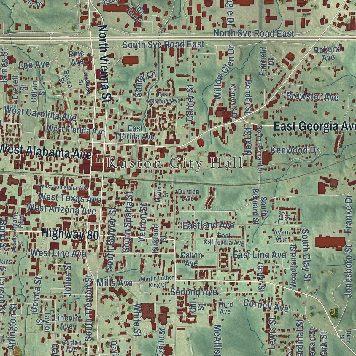
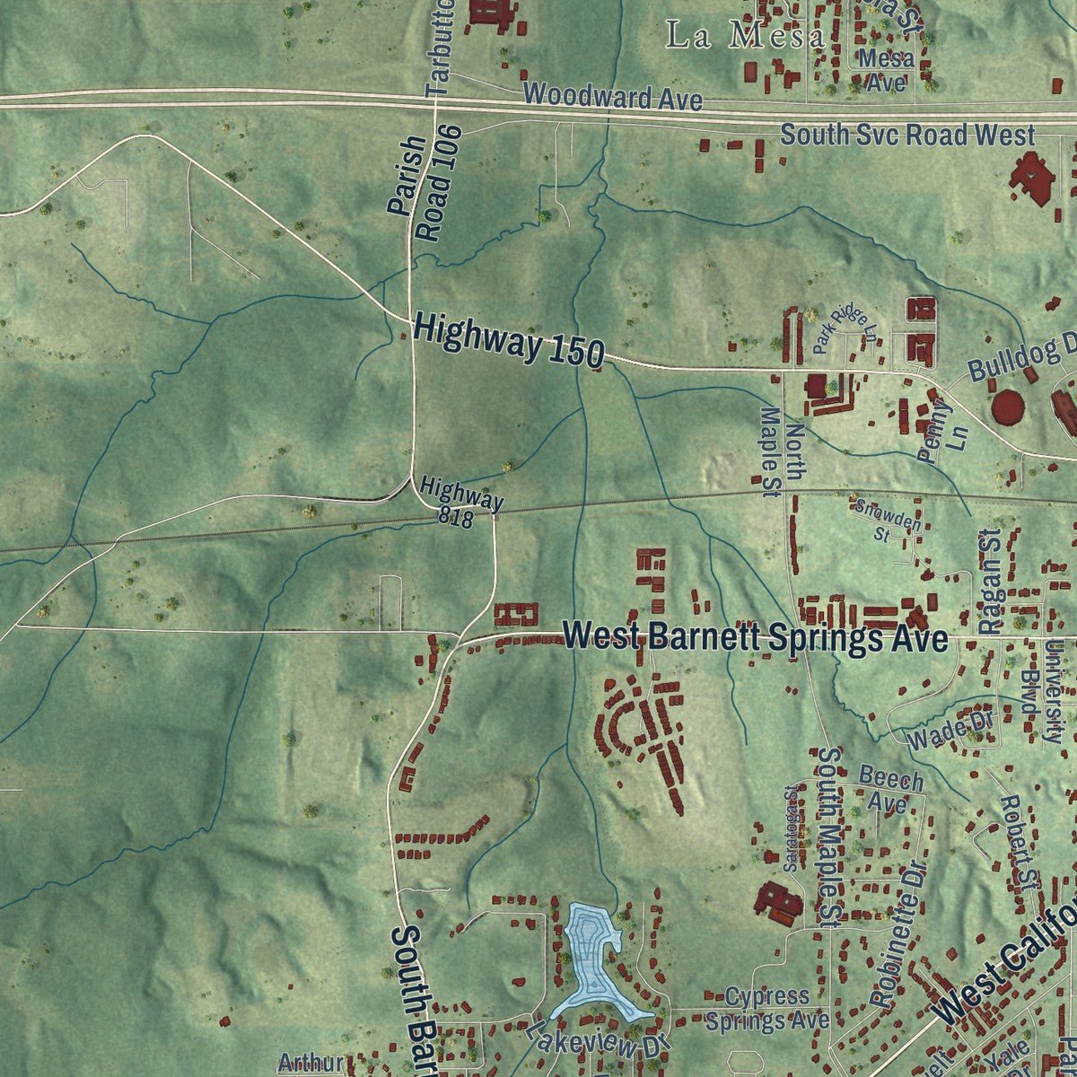
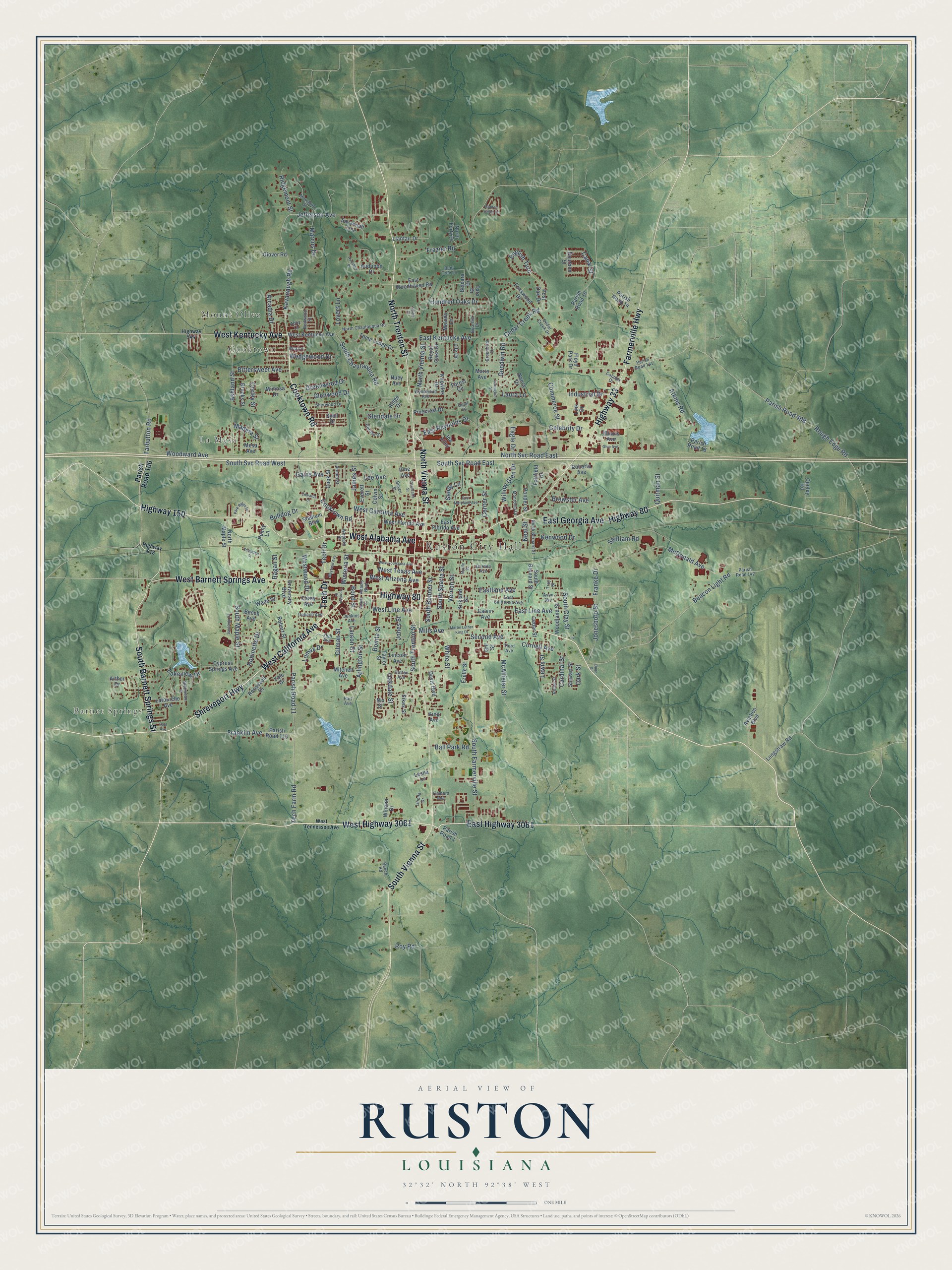
Explore Ruston, Louisiana from a whole new perspective. Created using aerial imagery and detailed geographic data, this map captures Ruston building by building, with labeled streets, familiar landmarks, and shaded topographical relief that highlights the natural contours of the landscape.
Combining modern data with the timeless character of a vintage atlas, this map is just as interesting up close as it is beautiful on the wall. Whether you grew up in Ruston, spent memorable years there, or call it home today, this unique map is a great way to celebrate a place that means something to you. Zoom in on the preview to look for your street, and then order a print to put your memories on the wall.
Three ways to hang it
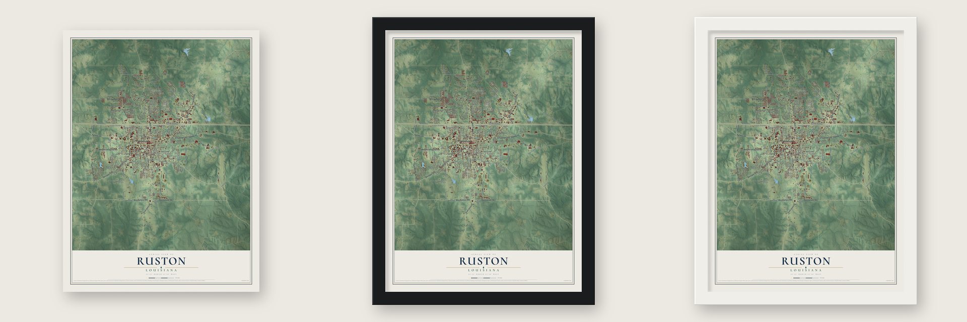
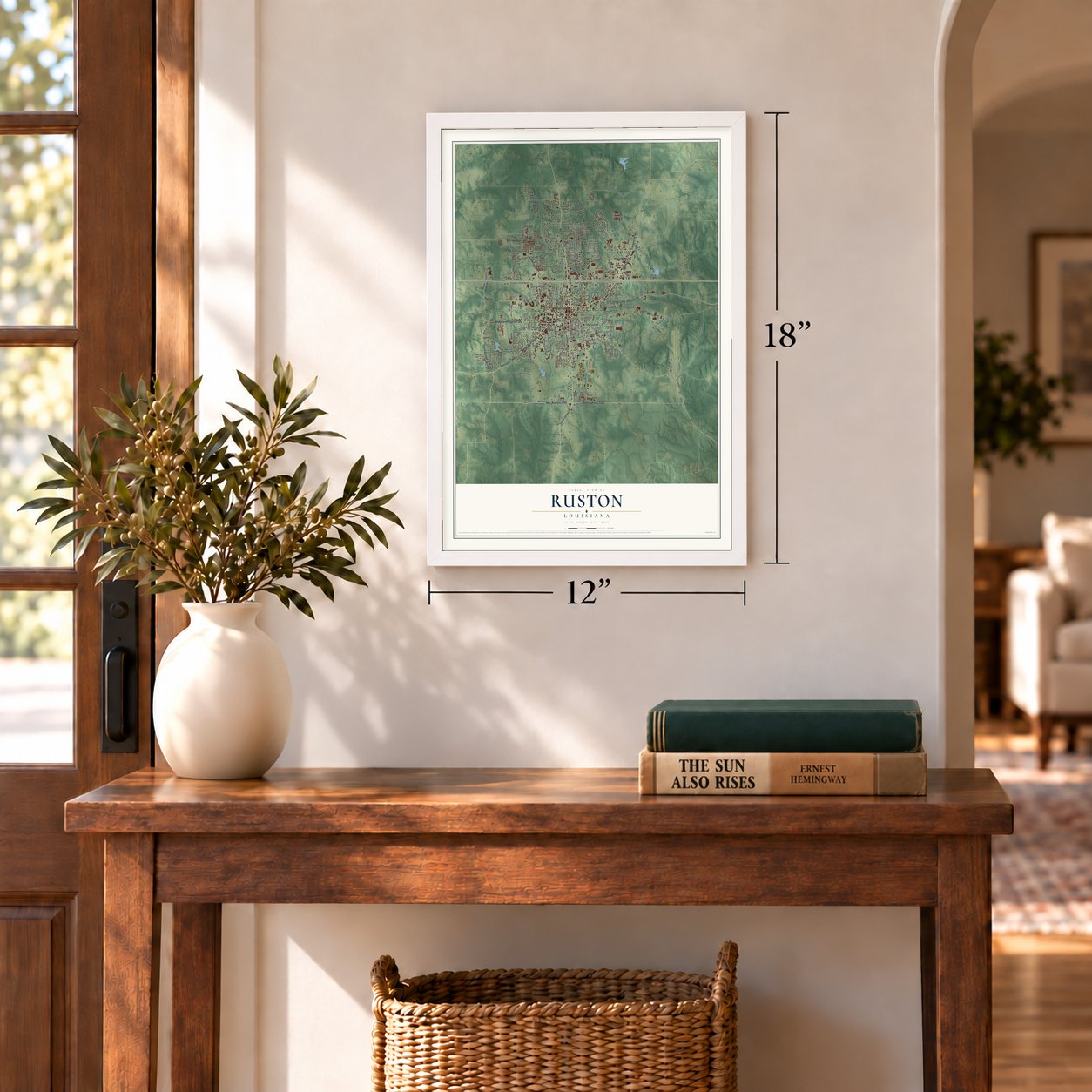
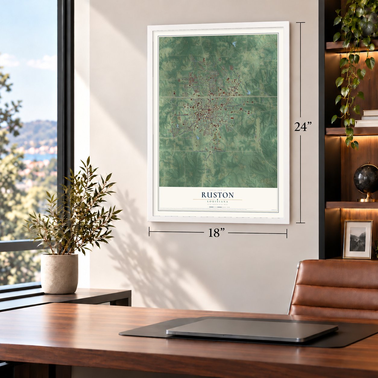
Unframed archival matte, a black wood frame or a white wood frame.
Up close
Geography Worth Displaying
This map was created using accurate cartographic data and authoritative geographic sources, including the U.S. Geological Survey and the Census Bureau. The map brings together terrain, waterways, roads, and building detail. The majority of the streets are labeled, houses are accurately depicted, and the topography is derived from government sources. Combining local data with carefully composed color and shading leads to this beautifully detailed Ruston artwork for your wall.
Rather than simply showing street outlines, we’ve included as many of the street names as we could reasonably fit on the map while keeping their names legible. Zoom in on the high resolution preview to see exactly what’s on the map. We truly set out to create a statement piece for anyone who loves Ruston. So whether it’s for you, or a gift for someone you love, we hope this map of Ruston brings back fond memories.
Read the story behind this map of Ruston, Louisiana from 2026.

About Ruston, Louisiana
Ruston is a city of 22,166 people and the seat of Lincoln Parish, and it is home to Louisiana Tech University. After the Civil War, word spread that the Vicksburg, Shreveport and Pacific Railroad would cross north Louisiana. Robert Edwin Russ, the parish sheriff from 1877 to 1880, gave 640 acres for a town along the line, and the place took its name from him.
Lots for homes and stores went on sale in 1883 at $375 each, and builders were soon sawing lumber all over the new town. Vienna had been the parish seat since the parish was formed in 1873, but in 1884 a vote of the whole parish moved the seat to Ruston. Cotton farming carried the early economy, and a second rail line, this one heading north to south, arrived in 1900.
“Vienna was the first seat of justice for the parish, but as it was not on the railroad the merchants there moved to the new town of Ruston.”
- Peach Festival since 1951Until the 1940s, peaches here mostly came from small family farms. In 1947 the growers formed the Louisiana Fruit Growers Association, and on June 27-28, 1951, they held the first Peach Festival. Cajun humorist Justin Wilson performed at Howard Auditorium, and State Senator Dudley J. LeBlanc, the man behind Hadacol, crowned the first queen, Ann Colvin of Bernice. The festival still returns every June.
- The Dixie Theatre of 1928The Dixie Theatre opened downtown in 1928 and joined the National Register in 1993. Today it is home to the North Central Louisiana Arts Council, the Piney Hills Gallery, the Ruston Community Theatre and the Ruston Civic Symphony Society.
- A museum in an 1886 houseThe Kidd-Davis House was built in 1886 and was listed on the National Register in 1984. It now holds the Lincoln Parish Museum, where exhibits tell the story of early Ruston.
Find your street
Names on the Ruston map
Every name below is printed on this map. Look for your street, your school, the park where you played, or the pond down the road.
Places and landmarks5
- Ruston City Hall
- Barnet Springs
- Mount Olive
- Cooktown
- La Mesa
Streets and roads246
- Cooktown Road
- West Highway 3061
- East Highway 3061
- Highway 80
- North Trenton Street
- Tech Drive
- East Georgia Avenue
- West Barnett Springs Avenue
- West Kentucky Avenue
- Farmerville Highway
- North Vienna Street
- South Vienna Street
- Shreveport Highway
- West California Avenue
- Highway 33
- West Alabama Avenue
- South Barnett Springs Street
- Highway 150
- Kavanaugh Road
- Jefferson Avenue
- South Trenton Street
- South Farmerville Street
- Parish Road 11
- Tech Farm Road
- Mills Avenue
- Bond Street
- McDonald Avenue
- South Svc Road West
- Woodward Avenue
- East Kentucky Avenue
Show all 246 streets
- North Svc Road East
- Celebrity Drive
- Cedar Creek Road
- South Maple Street
- Parish Road 408
- Rough Edge Road
- Goodwin Road
- East Line Avenue
- Santiam Road
- Atkins Road
- Ashland Street
- South Svc Road East
- South Chautauqua Road
- Frazier Road
- McAllister Street
- Center Street
- Arlington Street
- Eastland Avenue
- Cornell Avenue
- Franklin Avenue
- Commerce Street
- Hundred Oaks Drive
- Beacon Light Road
- Lee Avenue
- Robinette Drive
- West Arizona Avenue
- Second Avenue
- East Reynolds Drive
- West Carolina Avenue
- James Street
- South Bonner Street
- Jonesboro Street
- Willow Glen Drive
- Gilman Street
- Lakeview Drive
- West Line Avenue
- English Turn
- Glendale Drive
- Vernon Street
- Lewis Street
- South Clay Street
- Oakdale Street
- White Street
- Industrial Drive
- Arcadia Drive
- Lovers Lane
- Bittersweet Avenue
- Jones Street
- Bulldog Drive
- Greenwood Drive
- Glenwood Drive
- South Sparta Street
- Ridgemont Street
- West Texas Avenue
- Madera Street
- Larson Street
- Ball Park Road
- Marcus Drive
- Roy Road
- Wedgewood Drive
- Westwood Drive
- Kenwood Drive
- Brewster Avenue
- Franke Drive
- Canal Street
- Tarbutton Road
- Eagle Drive
- Cardinal Street
- Gains Avenue
- Quitman Street
- Wisteria Street
- Neal Street
- Laura Lane
- Sandy Lane
- Lomax Drive
- Bonita Street
- Corley Street
- Ragan Street
- Dark Street
- Parish Road 106
- Sybil Drive
- Taylor Street
- East Florida Avenue
- Bourbon Street
- Parish Road 1
- Parish Road 115
- Audubon Drive
- Everett Street
- Llanfair Drive
- Toma Lodge Drive
- Robert Street
- Roosevelt Drive
- Savannah Trce
- Parish Road 10
- Fairfield Drive
- East Woodhaven Road
- Forest Circle
- Foxxwood Drive
- Knowles Drive
- Colvin Street
- Arthur Drive
- Aviation Boulevard
- Carey Avenue
- West Florida Avenue
- Post Oak Drive
- Kirkland Street
- Woodland Street
- Mesa Avenue
- Lafourche Avenue
- Cypress Springs Avenue
- North Forty Drive
- Marie Avenue
- Longstraw Road
- Pine Avenue
- Lincoln Avenue
- Parish Road 18
- Pinecrest Drive
- Mitchell Avenue
- Ida Alley
- Melody Lane
- Winona Drive
- North Maple Street
- Mimosa Drive
- Parish Road 14
- Belcara Drive
- Davis Boulevard
- Ponder Street
- Cedar Street
- University Boulevard
- South Bernard Street
- Royal Oaks Drive
- Glover Road
- Stewart Street
- Roberta Avenue
- Stadium Boulevard
- Brooks Street
- Ezelle Street
- Gill Street
- Ridge Drive
- Nancy Drive
- Cooley Road
- Lily Drive
- Beech Avenue
- Wade Drive
- Sikes Street
- Cook Street
- Huey Avenue
- Link Drive
- Tara Drive
- Nix Street
- Floyd Park Drive
- Calvin Avenue
- Illinois Avenue
- Penny Lane
- Yale Drive
- Lesna Lane
- King Avenue
- Hart Avenue
- Parish Road 142
- North Chautauqua Road
- Briarhill Drive
- East California Avenue
- Gordon Drive
- North Bernard Street
- Hull Avenue
- Cedar Creek Drive
- Sherwood Drive
- Wynnwood Avenue
- Moreland Street
- Redwood Street
- Ranch Road
- Bistineau Street
- Parish Road 141
- Western Street
- Monrovia Drive
- Bent Tree Lane
- Greenbriar Drive
- Third Avenue
- Quail Lane
- Dubach Avenue
- Adams Boulevard
- Lilinda Drive
- Avon Avenue
- Arnold Street
- Cotton Avenue
- Catalpa Drive
- Robin Street
- Durden Avenue
- Timbers Avenue
- Jenkins Avenue
- Abby Lane
- Boyce Street
- Rita Lane
- Troy Street
- West Tennessee Avenue
- Highway 818
- Highway 544
- East Maryland Avenue
- Snowden Street
- West Louisiana Avenue
- Saratoga Street
- Mayfield Avenue
- Coushatta Street
- Audubon Place
- Park Ridge Lane
- Martin Luther King Drive
- Sortor Street
- Lexington Street
- Edwards Drive
- Thornton Street
- Paul Avenue
- Ohio Avenue
- Hidden Valley Drive
- Adams Street
- Myrtle Street
- Dunn Street
Names are listed as they appear on the printed map. Zoom into the product photos to find them.
The art of mapping a place
How This Map Was Made
Real places. Remarkable detail. Discover the layers that turn geographic data into a map of home.

The view from above
Aerial imagery reveals the character of the land: woodland, open fields, and the patterns of a place.

The shape of the land
Elevation data brings hills, valleys, and subtle changes in the landscape into view.

The details of home
Roads, waterways, and building footprints come together to make the map feel unmistakably local.

Geography becomes art
Considered color, shading, and typography bring the layers together in a map made for your wall.


Process illustrated with Mendon, Massachusetts. Aerial imagery: USDA NAIP. Terrain: USGS 3D Elevation Program. Map details and finished artwork: KNOWOL.
The Details
About This Print
Choose an archival matte print, or a black or white Ayous wood frame. The archival matte print is unframed.
Select your size and finish above to see the matching product image and price.
Materials & Craftsmanship
A contemporary map with the character of a classic atlas, printed on archival matte paper. Optional frames are made from Ayous wood.
Your printed map does not include the watermark shown in the full-map preview.
Shipping & Delivery
Free shipping within the United States. Every print is made to order in the USA.
Buying a gift? Add a note in your cart and we'll include it. We never put prices in the package.
Prints ship within 2 to 3 business days. Allow 7 to 10 days total from ordering for delivery. Timing may vary during holidays or periods of high order volume.
Read our shipping policy.
Returns and damaged prints
Each print is made to order. Change-of-mind refunds are not available after production.
If your print arrives damaged, misprinted or incorrect, contact support@knowol.com within 30 days of receiving it. Include your order number, photos and a description of the issue.
Read our full refund and replacement policy. For questions about your order, email support@knowol.com.
Find your town
Looking for another city?
Find a map of home in our Louisiana collection, or any town in the country.
Nearby
Maps of towns near Ruston
Know someone from one of these towns? Their map makes a great gift.
 Grambling
, Louisiana
From $39.99See the map
 Vienna
, Louisiana
From $39.99See the map
 Choudrant
, Louisiana
From $39.99See the map
More maps nearby: Simsboro, Dubach, Quitman, Downsville and Eros.