
Search for another town



Free U.S. delivery 7 to 10 days after you order
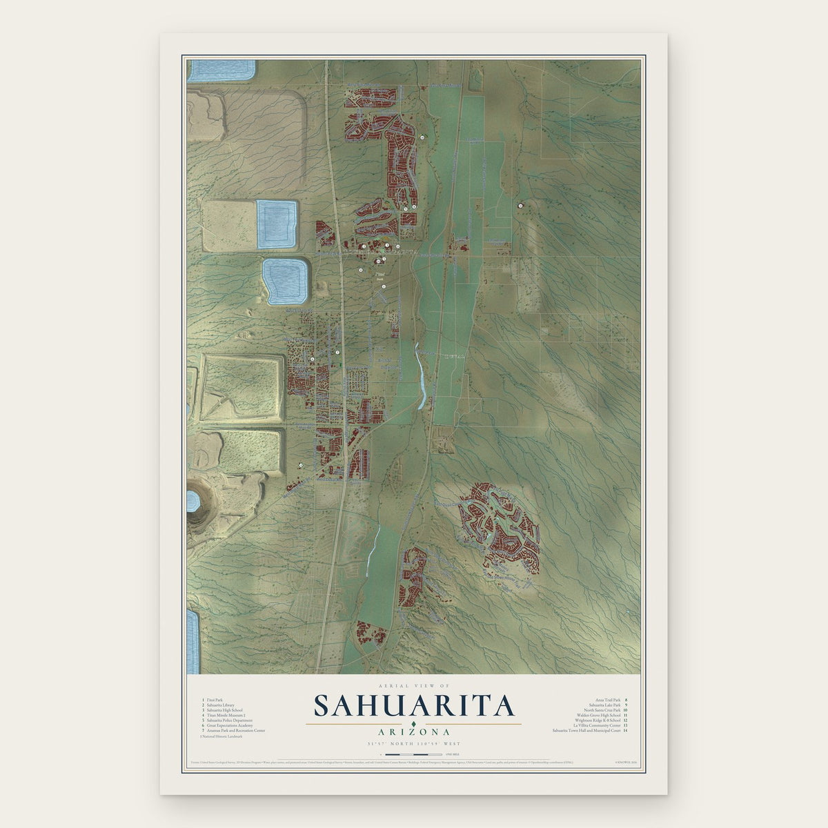
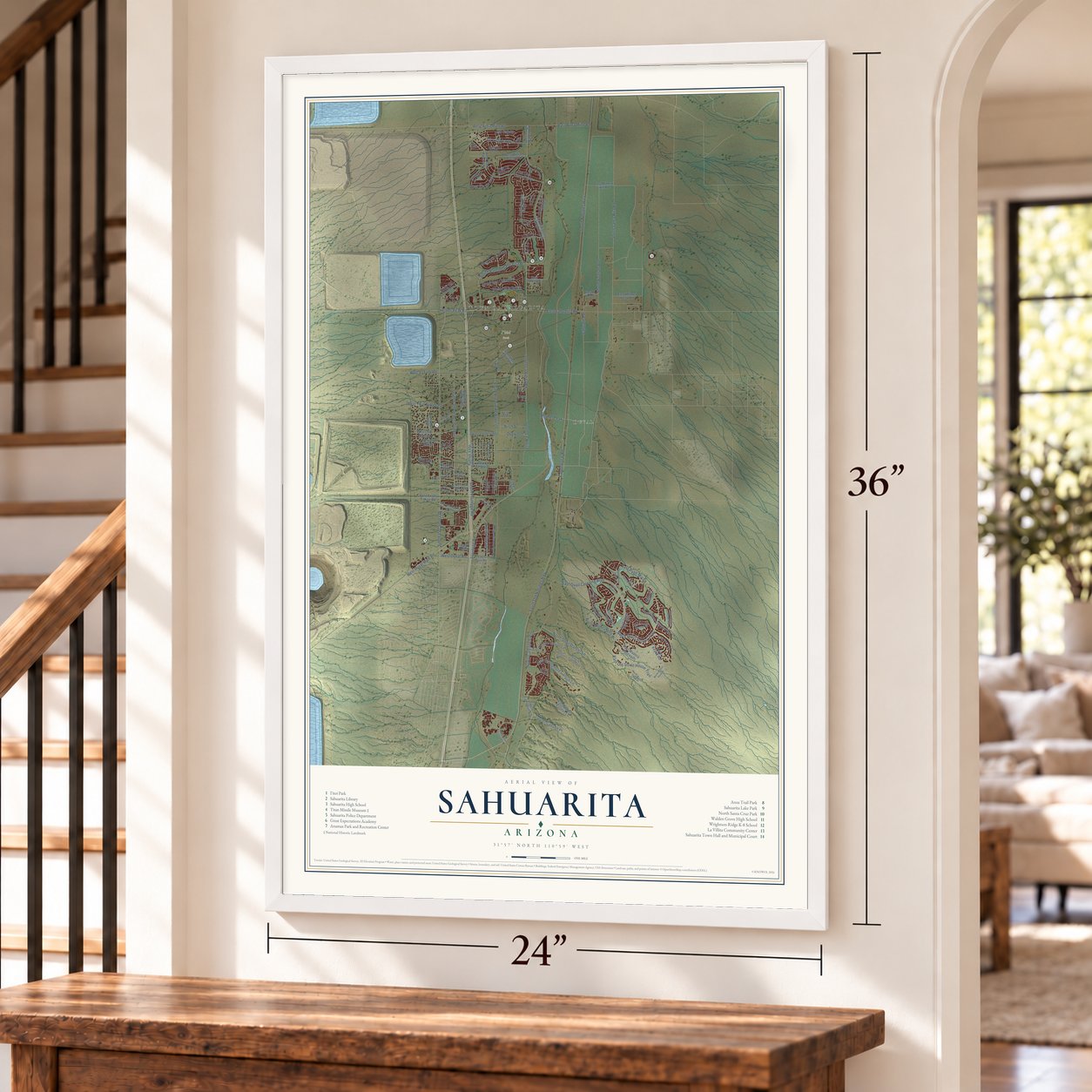
Sahuarita, Arizona Map Art
Building by building, with labeled streets and shaded relief.
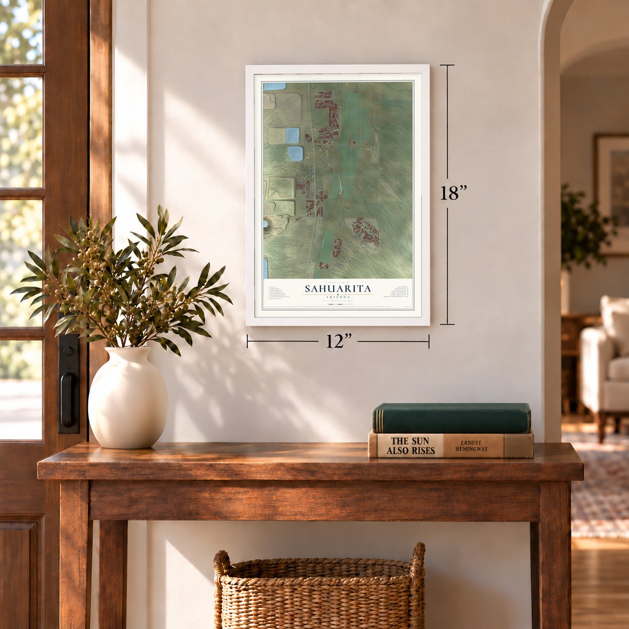
12" x 18" Archival Matte Print
A Map of Home. A Work of Art.
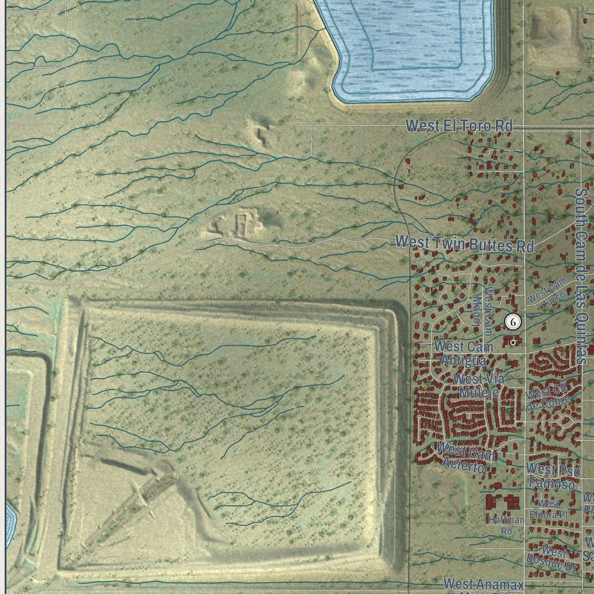
Explore Sahuarita, Arizona from a whole new perspective. Created using aerial imagery and detailed geographic data, this map captures Sahuarita building by building, with labeled streets, familiar landmarks, and shaded topographical relief that highlights the natural contours of the landscape.
Combining modern data with the timeless character of a vintage atlas, this map is just as interesting up close as it is beautiful on the wall. Whether you grew up in Sahuarita, spent memorable years there, or call it home today, this unique map is a great way to celebrate a place that means something to you. Zoom in on the preview to look for your street, and then order a print to put your memories on the wall.

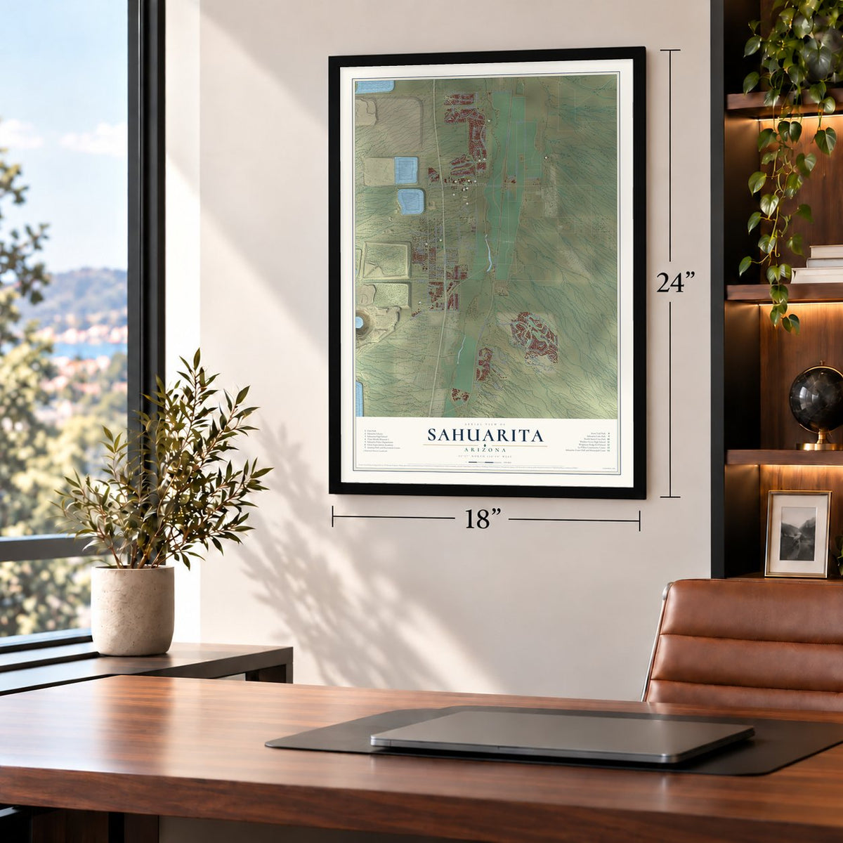
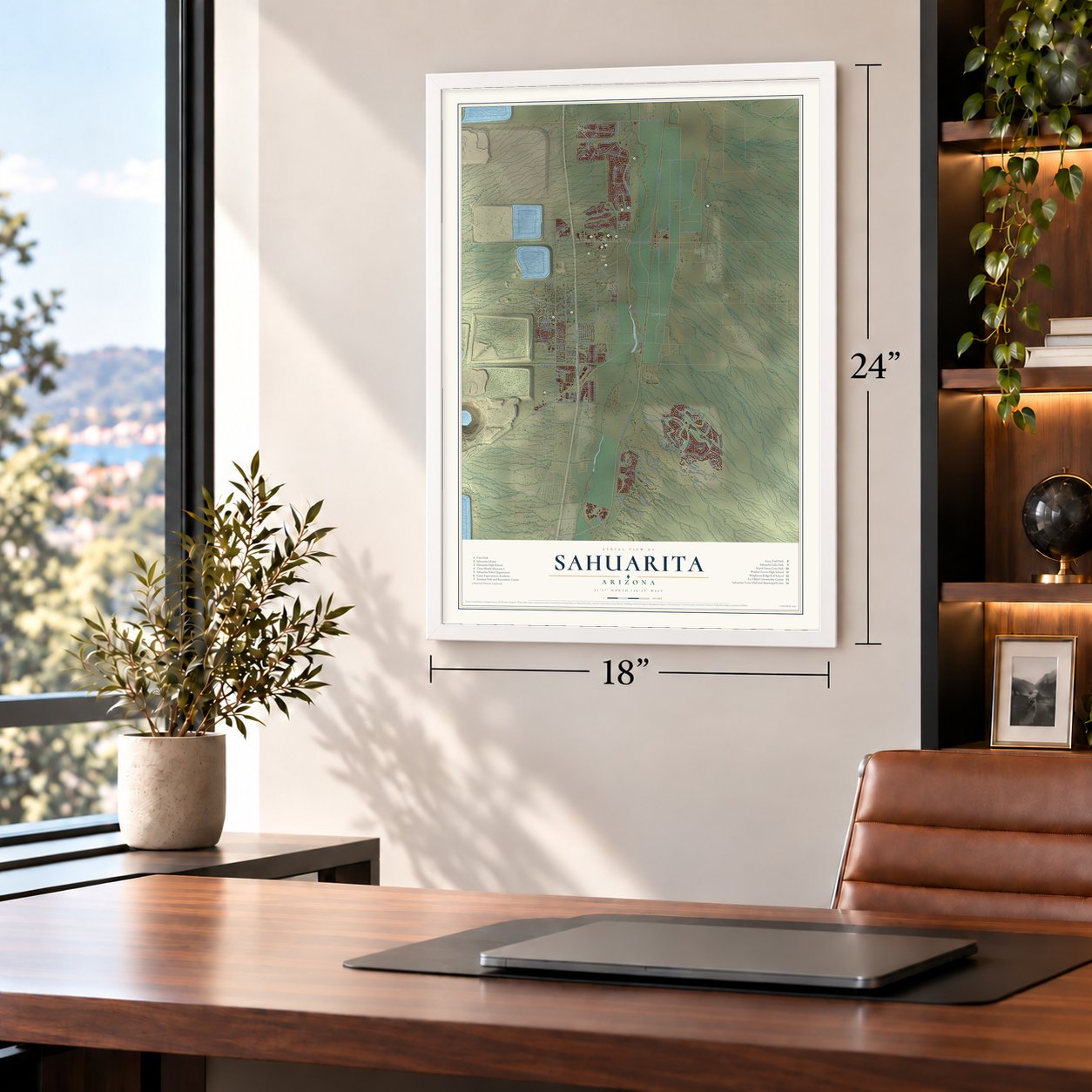
Three ways to hang it
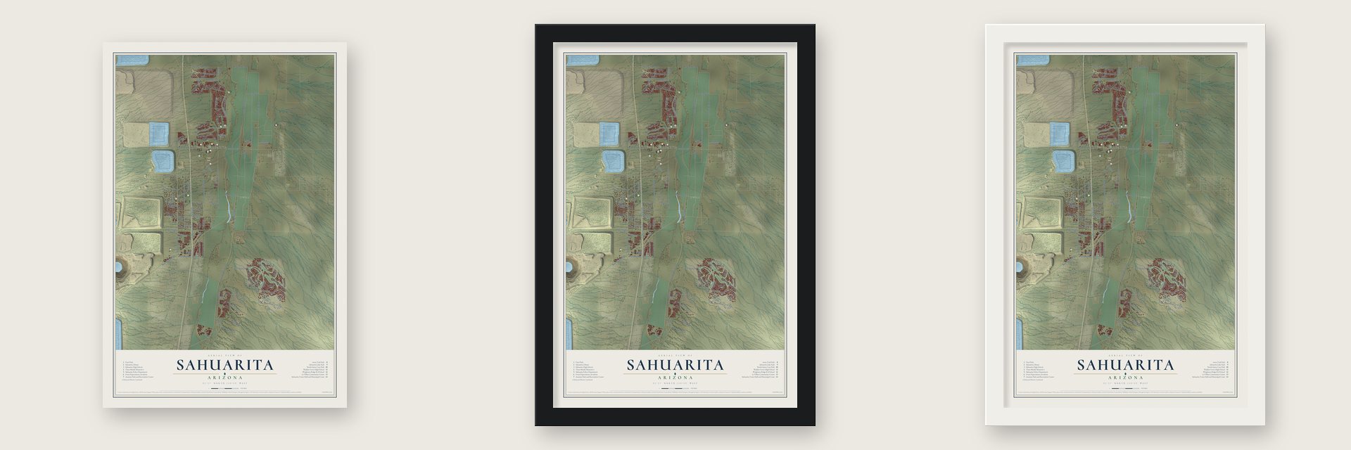
Unframed archival matte, a black wood frame or a white wood frame.
Up close
Geography Worth Displaying
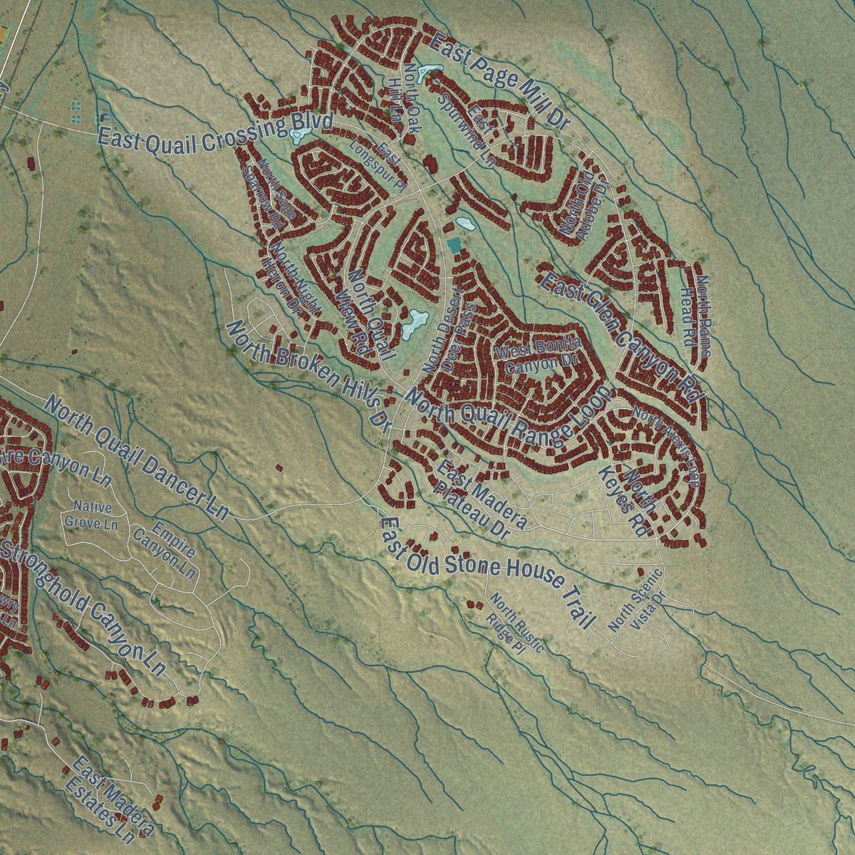
This map was created using accurate cartographic data and authoritative geographic sources, including the U.S. Geological Survey (USGS) and FEMA. The map brings together terrain, waterways, roads, and building detail. The majority of the streets are labeled, houses are accurately depicted, and the topography is derived from government sources. Combining local data with carefully composed color and shading leads to this beautifully detailed Sahuarita artwork for your wall.
Rather than simply showing street outlines, we’ve included as many of the street names as we could reasonably fit on the map while keeping their names legible. Zoom in on the high resolution preview to see exactly what’s on the map. We truly set out to create a statement piece for anyone who loves Sahuarita. So whether it’s for you, or a gift for someone you love, we hope this map of Sahuarita brings back fond memories.
Explore the full map of Sahuarita, Arizona and read about the local places it shows.
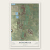
Find your street
Names on the Sahuarita map
Every name below is printed on this map. Look for your street, your school, the park where you played, or the pond down the road.
Places and landmarks3
- Town of Sahuarita
- Duval
- I'itoi Park
Streets and roads119
- South La Canada Drive
- South Rancho Sahuarita Bl
- West Duval Road
- Continental Road
- South Old Nogales Highway
- South Frontage Road
- South Nogales Highway
- South Santa Rita Road
- Sahuarita Street
- South La Villita Road
- South La Villita
- West Twin Buttes Road
- South Azatlan Avenue
- East Quail Crossing Boulevard
- West El Toro Road
- East Sahuarita Road
- South Cam de Las Quintas
- North Campbell Avenue
- North Quail Range Loop
- West Duval Mine Road
- Helmet Peak Road
- South Avenue de Augusto
- North Quail Dancer Lane
- East Pima Mine Road
- West Pima Mine Road
- Frontage Road
- East Stronghold Canyon Lane
- East Old Stone House Trail
- Cll Vista Larga
- West Pso Celestial
Show all 119 streets
- East Page Mill Drive
- North Broken Hills Drive
- West Cll la Bolita
- East Glen Canyon Road
- Tunnel Canyon Place
- North Abrego Drive
- West Via de Gala
- Birch Street
- Dogwood
- Helmet Peak
- Cll Cajeta
- Pla Junio
- Fig
- South Rancho Sahuarita Boulevard
- South Copper Point Drive
- West Beta Street
- West Cam Rancheria
- East Madera Estates Lane
- Greenough Ranch Road
- East Madera Plateau Drive
- South Campbell Avenue
- East Empire Canyon Lane
- West Cam Antigua
- South Camino Larga Vis
- Gonzales Farm Road
- North Keyes Road
- South Avenue Cucana
- Avenue Valle Verde del Norte
- North Avenue Mena
- West Cam Curvitas
- North Quail View Road
- West Anamax Mine Road
- South Cam Cartagena
- West William Ranch Road
- East Helmet Peak Road
- East Mineral Hill Road
- East Cam Limon Verde
- West Cll de Julio
- West Cll Montero
- West Cll de Marzo
- El Toro Road
- West Via Muleje
- East Castillo Drive
- South Via Cayetano
- West Cam Acierto
- West Pso Famoso
- East El Fico Street
- Cll Gota
- West Cll San Jose
- North Night Heron Drive
- Empire Canyon Lane
- North Rams Head Road
- East Spurwind Lane
- East Cam del Abeto
- South Via del Moro
- North Oak Hill Lane
- West Cll Arroyo Sur
- South Dusk View Drive
- North Desert Deer Pass
- West Cam Manoj
- West Cll de Cobre
- West Bonita Canyon Drive
- West Bosque Drive
- East Duval Road
- West Cll Marojo
- North Old Adobe Drive
- Cll Valle Verde
- West Cll Privada
- Cll Iribu
- Fig Street
- North Alexis Loop
- South Cam Lago Azul
- South Park Centre Avenue
- North Scenic Vista Drive
- West Cam Suenos de Sahuarita
- East Longspur Place
- North Rustic Ridge Place
- East Cam Rancho Cielo
- North Sage Sparrow Road
- South Pla Mayo
- South Sumac Drive
- West Cam Cuzco
- Mowry Wash Lane
- East Via Teresita
- Native Grove Lane
- West Cll de Sotelo
- West Eldora Place
- Hoffman Road
- Cedro Street
Names are listed as they appear on the printed map. Zoom into the product photos to find them.
About Sahuarita, Arizona
Sahuarita is a town of 34,134 people in Pima County, 15 miles south of Tucson. The Santa Cruz River runs north through it toward Tucson. Father Eusebio Kino traveled the river in 1691 and met leaders of the Sobaipuri, who lived along it. In 1699 he founded Mission San Xavier del Bac a short way to the north. In 1879 James Kilroy Brown started a ranch here and called it Sahuarita because saguaros covered the land.
Brown's ranch became a stop for travelers heading between Tucson, Arivaca and Quijotoa, and the railroad built a station and a post office beside it. After Brown sold the ranch in 1886, the area went quiet for three decades. The town counts 1911 as its founding year, but it stayed small for most of the century. It had 1,629 people in 1990, four years before it incorporated, and 25,259 by 2010.
- From rubber to pecansIn 1915 Bernard Baruch, Joseph Kennedy and J. P. Morgan, fearing a German blockade of rubber, founded the Continental Farm here to grow guayule, a rubber plant. They quit after World War I, and in 1922 Queen Wilhelmina of the Netherlands bought the farm and leased it to cotton growers. R. Keith Walden moved Farmers Investment Co. from California in 1948 and bought the land. Fearing synthetic fibers, he planted pecans in 1965; the orchard has 106,000 trees.
- A bombing range from 1942Crews from Davis-Monthan Air Force Base began practice bombing on a 27,046-acre range in April 1942, and the Sahuarita Flight Strip, with a 5,540-foot paved runway, was finished in 1943. The runs soon stopped, but Carswell AFB bomber crews resumed them from 1950 to 1962. In 1978 the federal government gave the land to Arizona, which leased it for cattle. The runway became a road, and Walden Grove High School opened there in August 2011.
- Prisoners in the cotton fieldsCamp Continental opened around November 1944 as one of 21 branch camps for German prisoners of war in Arizona. Its 250 prisoners worked mostly on farms, tending cotton and vegetables. The Germans tried to escape more than once, and every attempt failed.
- A Titan II in its siloThe Titan Missile Museum began as a Titan II launch site, built in 1963 and closed in 1984. One of only two remaining Titan II complexes, it became a National Historic Landmark in 1994. The 103-foot missile inside carries no warhead or fuel, and a U.S.-Soviet agreement keeps its silo doors from opening past halfway. Scenes from the 1996 movie Star Trek: First Contact were filmed there.
Keep exploring Arizona
Sahuarita is one of 519 Arizona towns we've mapped. Every dot on the map is a print of its own.
The search covers every state, Arizona first.
Near Sahuarita
Order 2 or more town maps and save 10%. Shown in the size and finish you picked above, so they hang as a set.
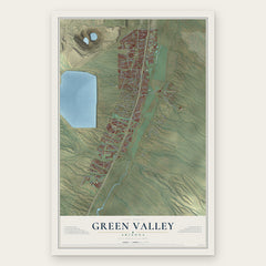
- Green Valley 12" x 18" / Archival Matte Print $39.99
- Summit 12" x 18" / Archival Matte Print $39.99
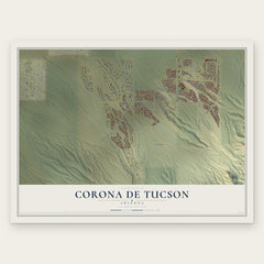
- Corona de Tucson 12" x 18" / Archival Matte Print $39.99

More maps nearby: Elephant Head, Pascua Yaqui Tribe, Arivaca Junction, Drexel Heights and Tucson.
The art of mapping a place
How This Map Was Made
Real places. Remarkable detail. Discover the layers that turn geographic data into a map of home.

The view from above
Aerial imagery reveals the character of the land: woodland, open fields, and the patterns of a place.

The shape of the land
Elevation data brings hills, valleys, and subtle changes in the landscape into view.

The details of home
Roads, waterways, and building footprints come together to make the map feel unmistakably local.

Geography becomes art
Considered color, shading, and typography bring the layers together in a map made for your wall.


Process illustrated with Mendon, Massachusetts. Aerial imagery: USDA NAIP. Terrain: USGS 3D Elevation Program. Map details and finished artwork: KNOWOL.
The Details
About This Print
Choose an archival matte print, or a black or white Ayous wood frame. The archival matte print is unframed.
Select your size and finish above to see the matching product image and price.
Materials & Craftsmanship
A contemporary map with the character of a classic atlas, printed on archival matte paper. Optional frames are made from Ayous wood.
Your printed map does not include the watermark shown in the full-map preview.
Shipping & Delivery
Free shipping within the United States. Every print is made to order in the USA.
Buying a gift? Add a note in your cart and we'll include it. We never put prices in the package.
Prints ship within 2 to 3 business days. Allow 7 to 10 days total from ordering for delivery. Timing may vary during holidays or periods of high order volume.
Read our shipping policy.
Returns and damaged prints
Each print is made to order. Change-of-mind refunds are not available after production.
If your print arrives damaged, misprinted or incorrect, contact support@knowol.com within 30 days of receiving it. Include your order number, photos and a description of the issue.
Read our full refund and replacement policy. For questions about your order, email support@knowol.com.