
Search for another town





Free U.S. delivery 7 to 10 days after you order
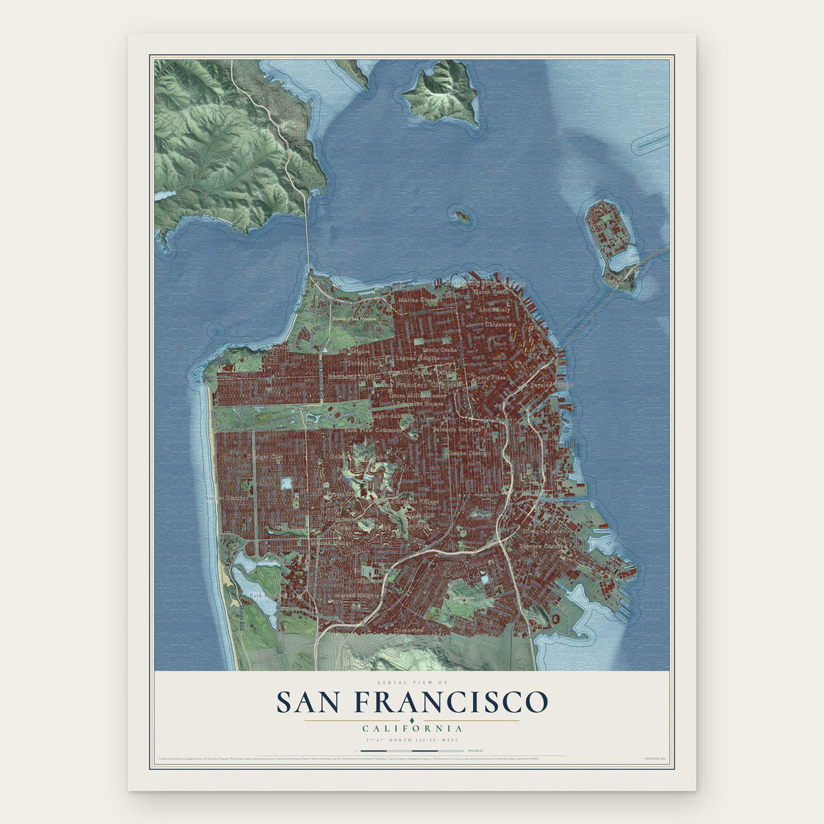
San Francisco, California Map Art
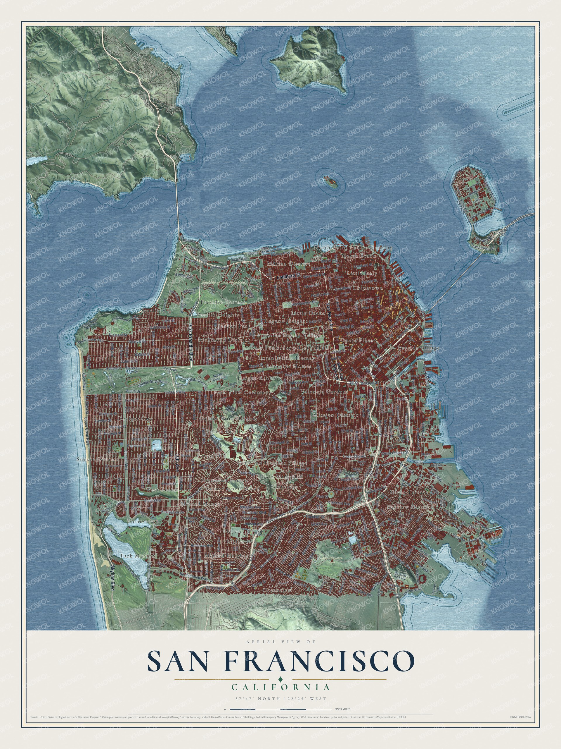
A new map of San Francisco, California, made in 2026 and printed to order on thick archival matte paper.
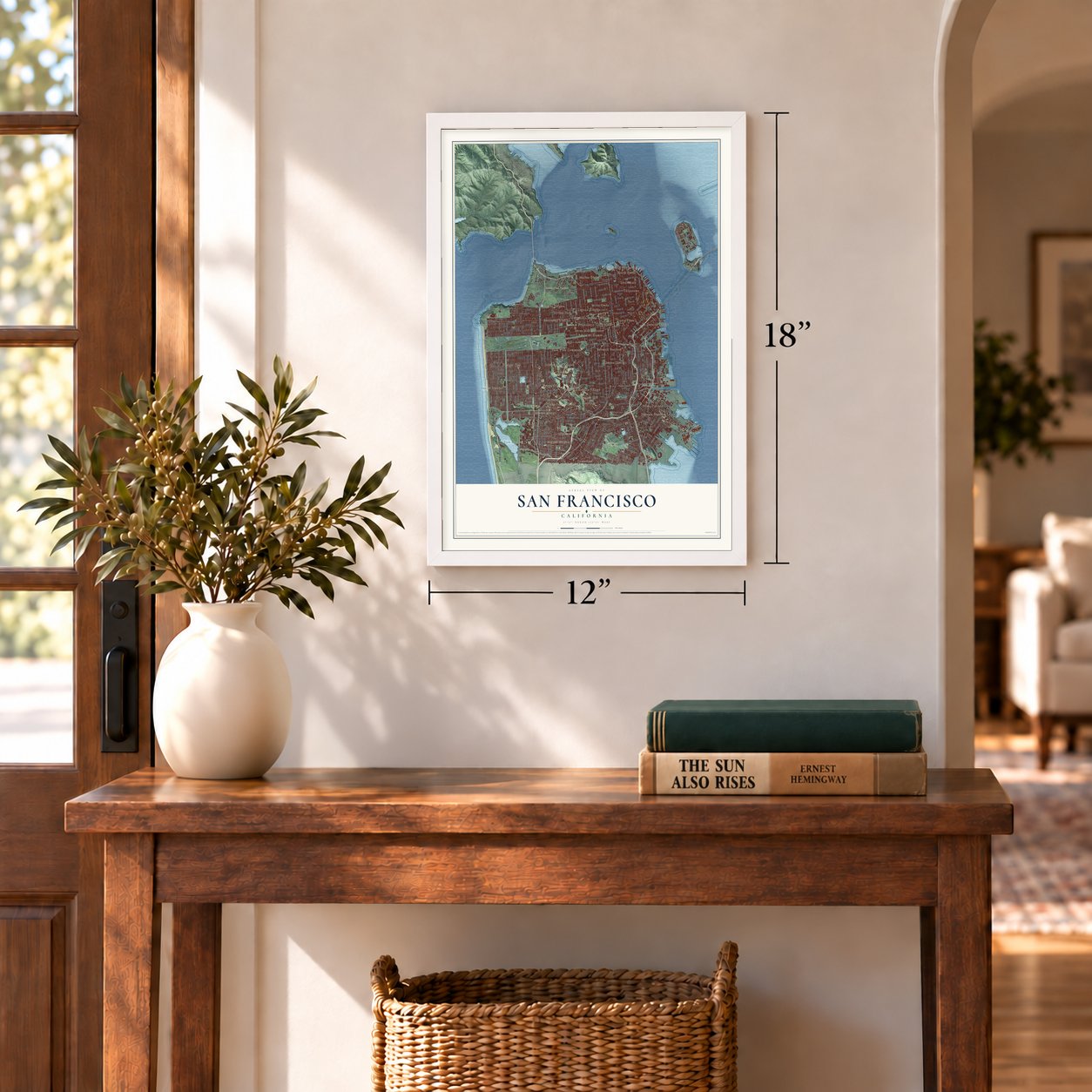
12" x 18" Archival Matte Print
A Map of Home. A Work of Art.
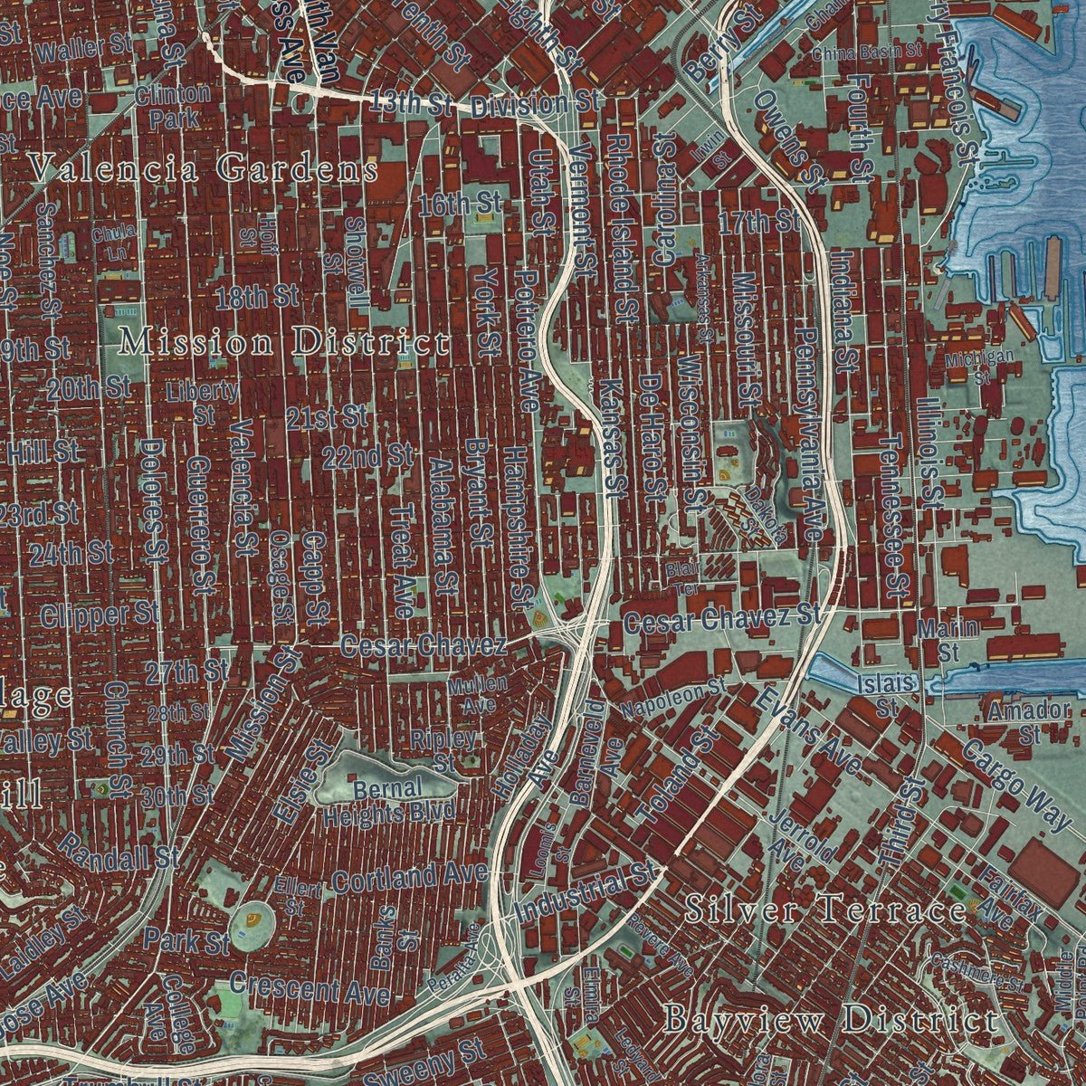
Explore San Francisco, California from a whole new perspective. Created using aerial imagery and detailed geographic data, this map captures San Francisco building by building, with labeled streets, familiar landmarks, and shaded topographical relief that highlights the natural contours of the landscape.
Combining modern data with the timeless character of a vintage atlas, this map is just as interesting up close as it is beautiful on the wall. Whether you grew up in San Francisco, spent memorable years there, or call it home today, this unique map is a great way to celebrate a place that means something to you. Zoom in on the preview to look for your street, and then order a print to put your memories on the wall.
Three ways to hang it
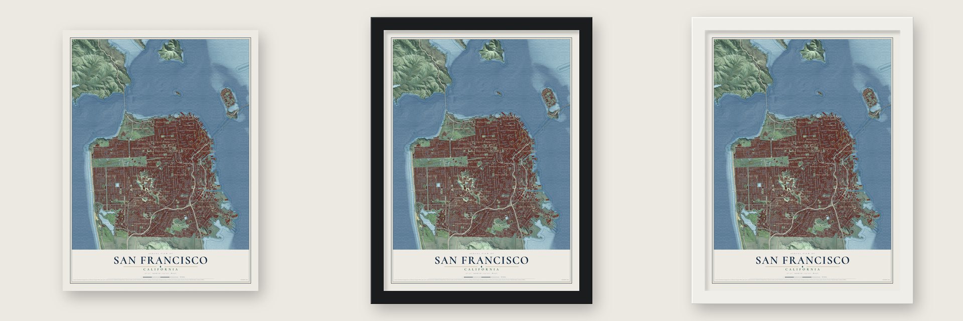
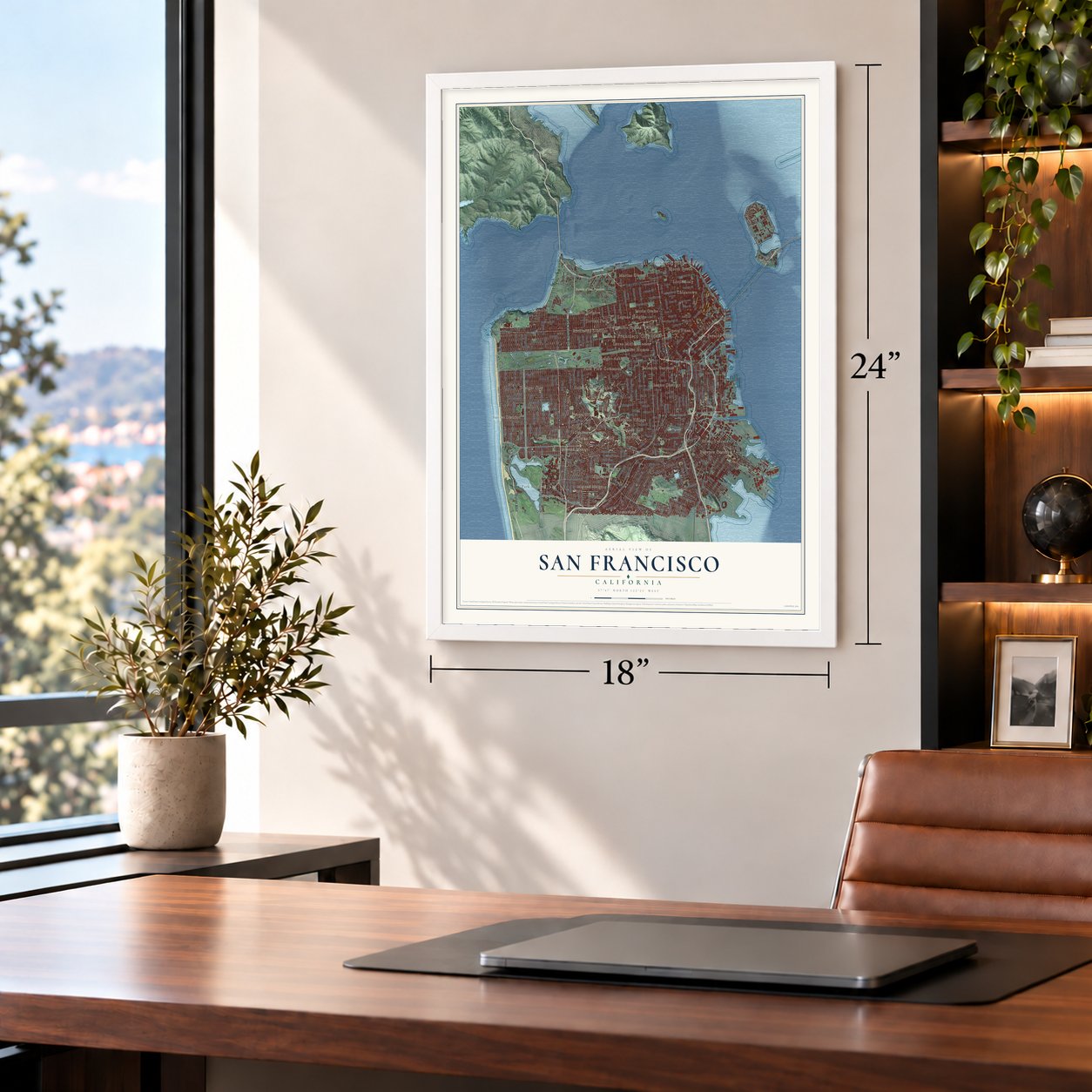
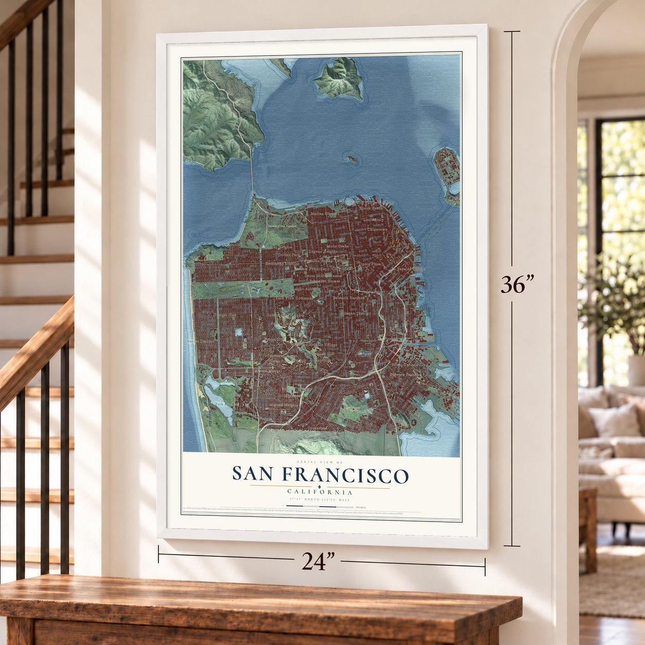
Unframed archival matte, a black wood frame or a white wood frame.
Up close
Geography Worth Displaying
This map was created using accurate cartographic data and authoritative geographic sources, including the U.S. Geological Survey and the Census Bureau. The map brings together terrain, waterways, roads, and building detail. The majority of the streets are labeled, houses are accurately depicted, and the topography is derived from government sources. Combining local data with carefully composed color and shading leads to this beautifully detailed San Francisco artwork for your wall.
Rather than simply showing street outlines, we’ve included as many of the street names as we could reasonably fit on the map while keeping their names legible. Zoom in on the high resolution preview to see exactly what’s on the map. We truly set out to create a statement piece for anyone who loves San Francisco. So whether it’s for you, or a gift for someone you love, we hope this map of San Francisco brings back fond memories.
Read the story behind this map of San Francisco, California from 2026.

About San Francisco, California
San Francisco is a city of 873,965 people, and its city and county share a single government. Long before Europeans came, the Yelamu, a group of the Ramaytush Ohlone, lived here in a few small villages and called the place Ahwaste, meaning "place at the bay." A Spanish overland party led by Gaspar de Portolá reached the bay on November 2, 1769. In 1776 Spain founded a presidio and a mission here, and both were named for Francis of Assisi.
Spain handed California to Mexico in 1821, and after 1833 the Mexican government opened the area to civilian settlers. In 1834 the trading village of Yerba Buena grew up beside its cove, around the plaza now called Portsmouth Square. Sailors from the USS Portsmouth took the village for the United States on July 9, 1846. On January 30, 1847, the alcalde Washington Allon Bartlett renamed it San Francisco, the name already printed on international maps. The gold rush followed: the town held 1,000 people in 1848, and by December 1849 it held 25,000.
“Formally established on September 17, 1776, the San Francisco Presidio has been used as a military headquarters by Spain, Mexico, and the United States.”
- Ships under the streetsMany crews that sailed in during the gold rush abandoned their ships and hurried off to the gold fields. About 500 vessels were left in the harbor. Some became storeships, saloons and hotels, and others were sunk on purpose so their owners could claim the lots underneath. Wharves reached out into the bay by 1851, and by 1870 landfill had covered Yerba Buena Cove and turned it into new ground. Builders still find buried hulls when they dig foundations.
- Mission Dolores, 1776Padre Francisco Palóu founded Mission San Francisco de Asís, also called Mission Dolores, in 1776, and the city takes its name from it. In its busiest years, from 1810 to 1820, the mission settlement averaged about 1,100 people. Mexico ordered the missions to give up their lands in 1833, and in 1836 Mission Dolores sold most of its property. It kept only the church and the buildings around it.
- Fort Point at the Golden GateIn 1794 the Presidio built the Castillo de San Joaquín, a fort guarding the south side of the Golden Gate. After California became a state in 1850, the U.S. Army built Fort Point on that site and put up another fort on Alcatraz Island to protect the bay.
- The first civilian householdJuana Briones de Miranda received a small ranch in 1833 beside El Polín Spring, close to the Presidio. Until then, only the Presidio's soldiers and the mission had settled here, so her home became the city's first civilian household that was not indigenous. Two years later, in Yerba Buena, the alcalde José Joaquín Estudillo signed off on the village's first land grant, which went to William Richardson.
- Rebuilt after 1906The earthquake and fire of 1906 destroyed three-quarters of the city. San Francisco rebuilt quickly, and nine years later it hosted the Panama-Pacific International Exposition.
Find your street
Names on the San Francisco map
Every name below is printed on this map. Look for your street, your school, the park where you played, or the pond down the road.
Places and landmarks45
- San Francisco City Hall
- John McLaren Park
- Presidio of San Francisco
- Amanico Ergina Village
- Banneker Homes
- Bayside Village
- Bayview District
- Chinatown
- Diamond Heights Village
- Doelger City
- Eldton
- Forest Hill
Show all 45 places
- Forest Knolls
- Glenridge
- Gold Mine Hill
- Golden Gate Heights
- Haight-Ashbury
- Ingleside
- Jordan Park
- Laguna Heights
- Little Italy
- Little Osaka
- Loren Miller Homes
- Marina District
- Merced Heights
- Merced Manor
- Mission District
- North Beach
- North Point Public Housing
- Oceanview
- Opera Plaza
- Pacific Heights
- Park Merced
- Park View Commons
- Presidio Terrace
- Richmond District
- Saint Francis Wood
- Seacliff
- Sherwood Forest
- Silver Terrace
- Stonestown
- Sunset District
- Valencia Gardens
- West Portal
- Clinton Park
Streets and roads454
- 19th Avenue
- Skyline Boulevard
- Van Ness Avenue
- Park Presidio Boulevard
- Lombard Street
- Geary Boulevard
- Alemany Boulevard
- Mission Street
- San Jose Avenue
- Cesar Chavez
- King Street
- Brannan Street
- Potrero Avenue
- Geary Street
- Industrial Street
- Crescent Avenue
- Third Street
- Kearny Street
- Pine Street
- Monterey Boulevard
- 14th Avenue
- Noriega Street
- Bay Shore Boulevard
- The Embarcadero
- 13th Street
- Duboce Avenue
- John Muir Drive
- Tenth Street
- Portola Drive
- Division Street
Show all 454 streets
- Lake Merced Boulevard
- Polk Street
- Cayuga Avenue
- Taylor Street
- Trumbull Street
- Kirkham Street
- La Playa Street
- Junipero Serra Boulevard
- Cesar Chavez Street
- 20th Street
- Vermont Street
- Sixth Street
- Spear Avenue
- Presidio Avenue
- Webster Street
- Judah Street
- Upper Great Highway
- South Drive
- Circular Avenue
- Sloat Boulevard
- 39th Avenue
- Ninth Avenue
- Carolina Street
- Pope Street
- Market Street
- Great Highway
- Lincoln Way
- Ocean Avenue
- California Street
- Fulton Street
- Sunset Boulevard
- Folsom Street
- Pacific Avenue
- Divisadero Street
- Geneva Avenue
- Dolores Street
- Harrison Street
- 20th Avenue
- Guerrero Street
- Washington Street
- 25th Avenue
- Clay Street
- Anza Street
- Bryant Street
- Mason Street
- 25th Street
- 34th Avenue
- Lincoln Boulevard
- 17th Street
- 24th Avenue
- 15th Avenue
- 22nd Avenue
- 21st Avenue
- 23rd Street
- 22nd Street
- 26th Avenue
- 18th Street
- Ulloa Street
- 19th Street
- Broadway
- 30th Avenue
- Pacheco Street
- 16th Avenue
- 28th Avenue
- Cabrillo Street
- 18th Avenue
- 17th Avenue
- Balboa Street
- Irving Street
- 32nd Avenue
- 36th Avenue
- San Bruno Avenue
- 29th Avenue
- Turk Boulevard
- 47th Avenue
- 37th Avenue
- 23rd Avenue
- 16th Street
- Ortega Street
- 42nd Avenue
- 27th Avenue
- 24th Street
- 43rd Avenue
- 45th Avenue
- 44th Avenue
- Lawton Street
- Mansell Street
- Funston Avenue
- Green Street
- 41st Avenue
- Vallejo Street
- Clement Street
- 46th Avenue
- Greenwich Street
- Brotherhood Way
- 40th Avenue
- 31st Avenue
- Post Street
- Laguna Street
- Chestnut Street
- Moraga Street
- Taraval Street
- Lyon Street
- 38th Avenue
- Marina Boulevard
- Gough Street
- 26th Street
- Baker Street
- 48th Avenue
- Tenth Avenue
- Fourth Street
- Silver Avenue
- Steiner Street
- Diamond Street
- Castro Street
- Church Street
- Hayes Street
- Howard Street
- Hyde Street
- Evans Avenue
- Fell Street
- Bay Street
- Eighth Avenue
- Larkin Street
- Lake Street
- Noe Street
- Holloway Avenue
- Ofarrell Street
- 15th Street
- Valencia Street
- Grove Street
- Eleventh Avenue
- Font Boulevard
- 21st Street
- Seventh Avenue
- Eddy Street
- Sixth Avenue
- Ellis Street
- Haight Street
- Palou Avenue
- Alabama Street
- Stanyan Street
- Fifth Avenue
- Sunnydale Avenue
- Jamestown Avenue
- Illinois Street
- Innes Avenue
- Ingalls Street
- Minna Street
- Naples Street
- De Haro Street
- Seventh Street
- Cargo Way
- El Camino del Mar
- Jennings Street
- Treat Avenue
- Athens Street
- Capp Street
- Miramar Avenue
- Rhode Island Street
- Ninth Street
- Douglass Street
- Hampshire Street
- Kansas Street
- Fourth Avenue
- York Street
- Goettingen Street
- Eighth Street
- Clipper Street
- Madrid Street
- Park Boulevard
- Indiana Street
- Chenery Street
- Middle Drive West
- Mangels Avenue
- Silliman Street
- Felton Street
- Eucalyptus Drive
- 27th Street
- Lisbon Street
- Tennessee Street
- Pennsylvania Avenue
- Sansome Street
- Terry Francois Street
- Bacon Street
- Missouri Street
- Cole Street
- Prague Street
- Capitol Avenue
- Battery Street
- Cortland Avenue
- Elizabeth Street
- London Street
- Berry Street
- Head Street
- Gilman Avenue
- Rolph Street
- Bowdoin Street
- Avenue North
- Perimeter Road
- Wisconsin Street
- Delano Avenue
- Mlk Junior Drive
- Point Lobos Avenue
- Sweeny Street
- Orizaba Avenue
- Flood Avenue
- Crisp Road
- Valley Street
- Raymond Avenue
- Utah Street
- Huron Avenue
- Morse Street
- Lane Street
- Ralston Street
- Kobbe Avenue
- Campbell Avenue
- Arch Street
- Main Street
- Hussey Street
- Harding Road
- Lockwood Street
- Holyoke Street
- Elsie Street
- Judson Avenue
- De Long Street
- Lobos Street
- Congo Street
- Toland Street
- California Avenue
- Laurel Street
- Macalla Road
- Wilde Avenue
- Hill Street
- Marine Drive
- Harney Way
- Sawyer Street
- Storey Avenue
- Evelyn Way
- Park Street
- Upland Drive
- Randall Street
- Paul Avenue
- Owens Street
- Earl Street
- Jauss
- South Van Ness Avenue
- Davis Street
- Jerrold Avenue
- Vasquez Avenue
- Upper Terrace
- Crossover Drive
- Bayview Park Road
- Laguna Honda Boulevard
- Herbst Road
- Faxon Avenue
- Holladay Avenue
- Williams Avenue
- 35th Avenue
- Bush Street
- Union Street
- Sutter Street
- 33rd Avenue
- Vicente Street
- Sanchez Street
- Rivera Street
- Shotwell Street
- Washington Boulevard
- 14th Street
- Waller Street
- Fifth Street
- Corbett Avenue
- Girard Street
- Thomas Avenue
- Keith Street
- Carroll Avenue
- Egbert Avenue
- Second Avenue
- Bernal Heights Boulevard
- Uncle Wish Mem Road
- Treasure Island Road
- Moscow Street
- Panorama Drive
- Magellan Avenue
- First Street
- Laidley Street
- Liberty Street
- University Street
- Lakeshore Drive
- Donner Avenue
- 29th Street
- Darien Way
- Fairfax Avenue
- Spruce Street
- Beale Street
- Banks Street
- Barneveld Avenue
- 30th Street
- Eureka Street
- College Avenue
- Monticello Street
- Giants Drive
- Marin Street
- Wedemeyer Street
- Avenue of the Palms
- Middle Drive East
- Cresta Vista Drive
- Arco Way
- Morrell Street
- Garces Drive
- Upper Svc Road
- Serrano Drive
- Seneca Avenue
- States Street
- Blanken Avenue
- Denslowe Drive
- Valdez Avenue
- Collins Street
- Graham Street
- Spreckels Lake Drive
- Amador Street
- Corona Street
- Clearfield Drive
- Portola Street
- Santos Street
- Gorgas Avenue
- Steuart Street
- Baden Street
- Tingley Street
- Osage Street
- Ripley Street
- Yacht Road 1
- Hoffman Street
- Sibley Road
- Sickles Avenue
- Paloma Avenue
- Islais Street
- State Drive
- Army Road
- Embarcadero South Street
- Kezar Drive
- Sacramento Street
- Jackson Street
- Scott Street
- Broderick Street
- Quintara Street
- Oak Street
- Visitacion Avenue
- Vienna Street
- Winston Drive
- Eleventh Street
- Second Street
- Phelps Street
- Burnett Avenue
- 28th Street
- Channel Street
- Stow Lake Drive
- Gellert Drive
- Ralston Avenue
- Armstrong Avenue
- Ivy Street
- Pershing Drive
- Broad Street
- Montana Street
- Napoleon Street
- Crissy Field Avenue
- Elmira Street
- Lee Avenue
- Mullen Avenue
- Piper Loop
- Tunnel Avenue
- Willard Street
- Caselli Avenue
- Nimitz Avenue
- Bowley Street
- Kiska Road
- Middle Point Road
- Midcrest Way
- Sylvan Drive
- Nahua Avenue
- Alana Way
- Dakota Street
- Pier
- Ellert Street
- Pino Alley
- Flora Street
- Ina Court
- Hoff Street
- Turk Street
- Santiago Street
- Page Street
- Revere Avenue
- Hudson Avenue
- Peralta Avenue
- Third Avenue
- Vidal Drive
- Cambridge Street
- Arkansas Street
- Gateview Avenue
- Foerster Street
- Cashmere Street
- Randolph Street
- Front Street
- Chain of Lakes Drive East
- Michigan Street
- Cloud Circle
- Loomis Street
- Brookdale Avenue
- Sloat Avenue
- China Basin Street
- Crestline Drive
- Marview Way
- Tapia Drive
- Letterman Drive
- Rome Street
- Caine Avenue
- Olympia Way
- Seville Street
- Ledyard Street
- Alpine Terrace
- Irwin Street
- Chula Lane
- Blair Terrace
- Lydia Avenue
Names are listed as they appear on the printed map. Zoom into the product photos to find them.
The art of mapping a place
How This Map Was Made
Real places. Remarkable detail. Discover the layers that turn geographic data into a map of home.

The view from above
Aerial imagery reveals the character of the land: woodland, open fields, and the patterns of a place.

The shape of the land
Elevation data brings hills, valleys, and subtle changes in the landscape into view.

The details of home
Roads, waterways, and building footprints come together to make the map feel unmistakably local.

Geography becomes art
Considered color, shading, and typography bring the layers together in a map made for your wall.


Process illustrated with Mendon, Massachusetts. Aerial imagery: USDA NAIP. Terrain: USGS 3D Elevation Program. Map details and finished artwork: KNOWOL.
The Details
About This Print
Choose an archival matte print, or a black or white Ayous wood frame. The archival matte print is unframed.
Select your size and finish above to see the matching product image and price.
Materials & Craftsmanship
A contemporary map with the character of a classic atlas, printed on archival matte paper. Optional frames are made from Ayous wood.
Your printed map does not include the watermark shown in the full-map preview.
Shipping & Delivery
Free shipping within the United States. Every print is made to order in the USA.
Buying a gift? Add a note in your cart and we'll include it. We never put prices in the package.
Prints ship within 2 to 3 business days. Allow 7 to 10 days total from ordering for delivery. Timing may vary during holidays or periods of high order volume.
Read our shipping policy.
Returns and damaged prints
Each print is made to order. Change-of-mind refunds are not available after production.
If your print arrives damaged, misprinted or incorrect, contact support@knowol.com within 30 days of receiving it. Include your order number, photos and a description of the issue.
Read our full refund and replacement policy. For questions about your order, email support@knowol.com.
Find your town
Looking for another city?
Find a map of home in our California collection, or any town in the country.
Nearby
Maps of towns near San Francisco
Know someone from one of these towns? Their map makes a great gift.
 Bolinas
, California
From $39.99See the map
 Stinson Beach
, California
From $39.99See the map
 Muir Beach
, California
From $39.99See the map
More maps nearby: Inverness, Lagunitas-Forest Knolls, Point Reyes Station, San Geronimo and Woodacre.