
Search for another town



Free U.S. delivery 7 to 10 days after you order
San Luis, Arizona Map Art
Building by building, with labeled streets and shaded relief.
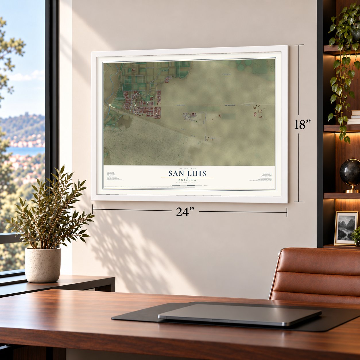
12" x 18" Archival Matte Print
A Map of Home. A Work of Art.
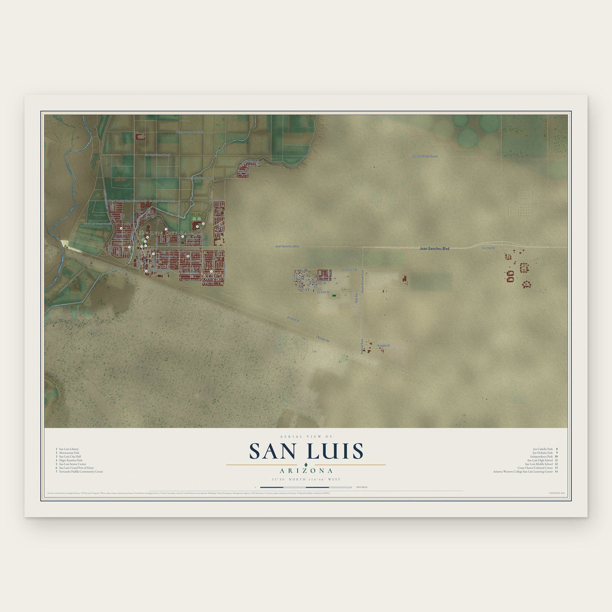
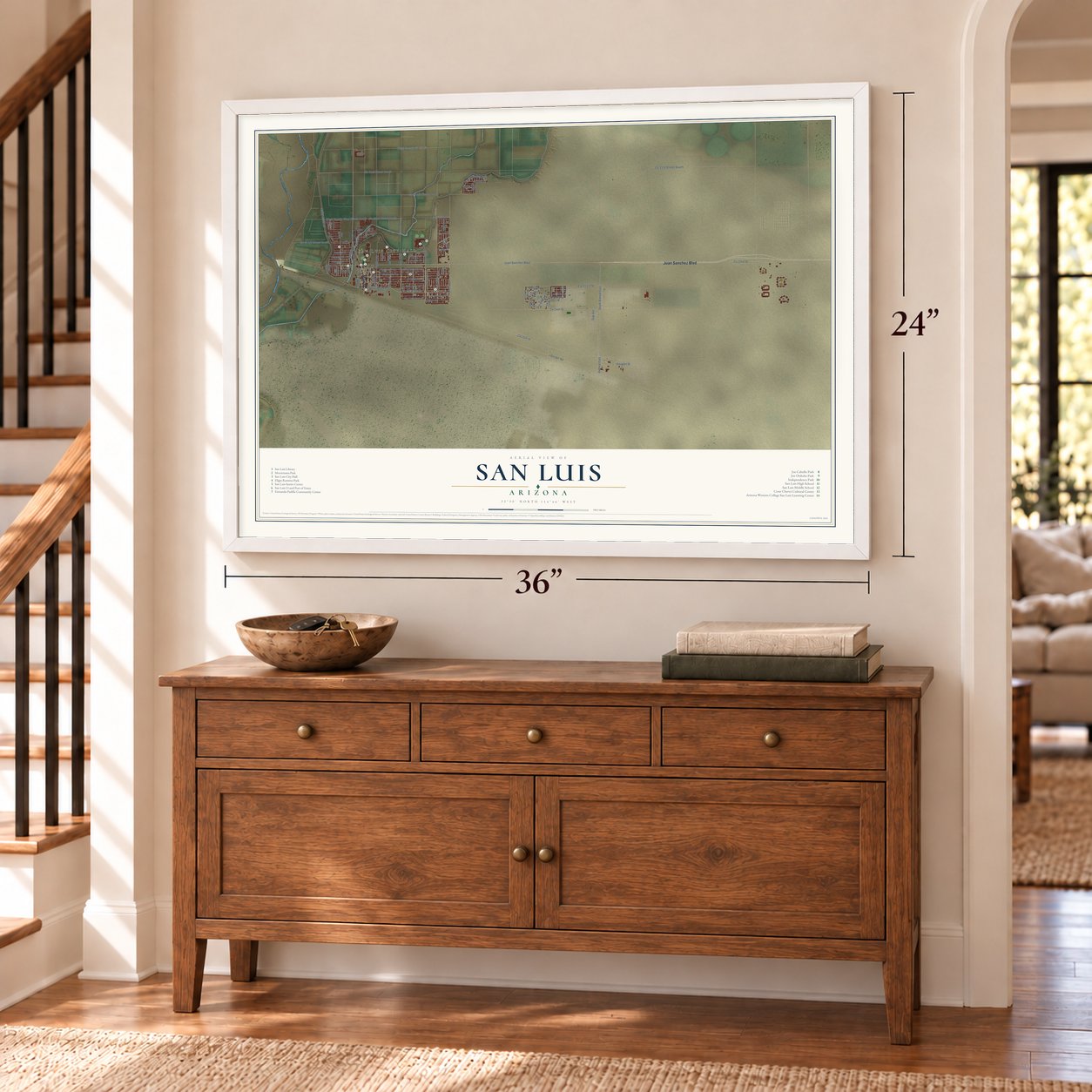
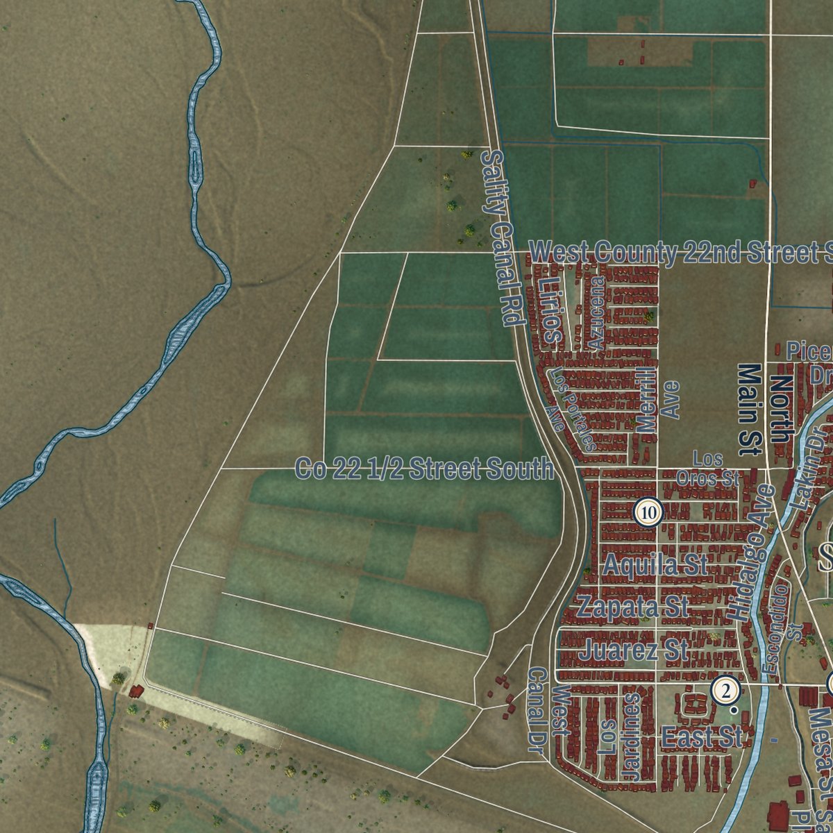
Explore San Luis, Arizona from a whole new perspective. Created using aerial imagery and detailed geographic data, this map captures San Luis building by building, with labeled streets, familiar landmarks, and shaded topographical relief that highlights the natural contours of the landscape.
Combining modern data with the timeless character of a vintage atlas, this map is just as interesting up close as it is beautiful on the wall. Whether you grew up in San Luis, spent memorable years there, or call it home today, this unique map is a great way to celebrate a place that means something to you. Zoom in on the preview to look for your street, and then order a print to put your memories on the wall.

Three ways to hang it
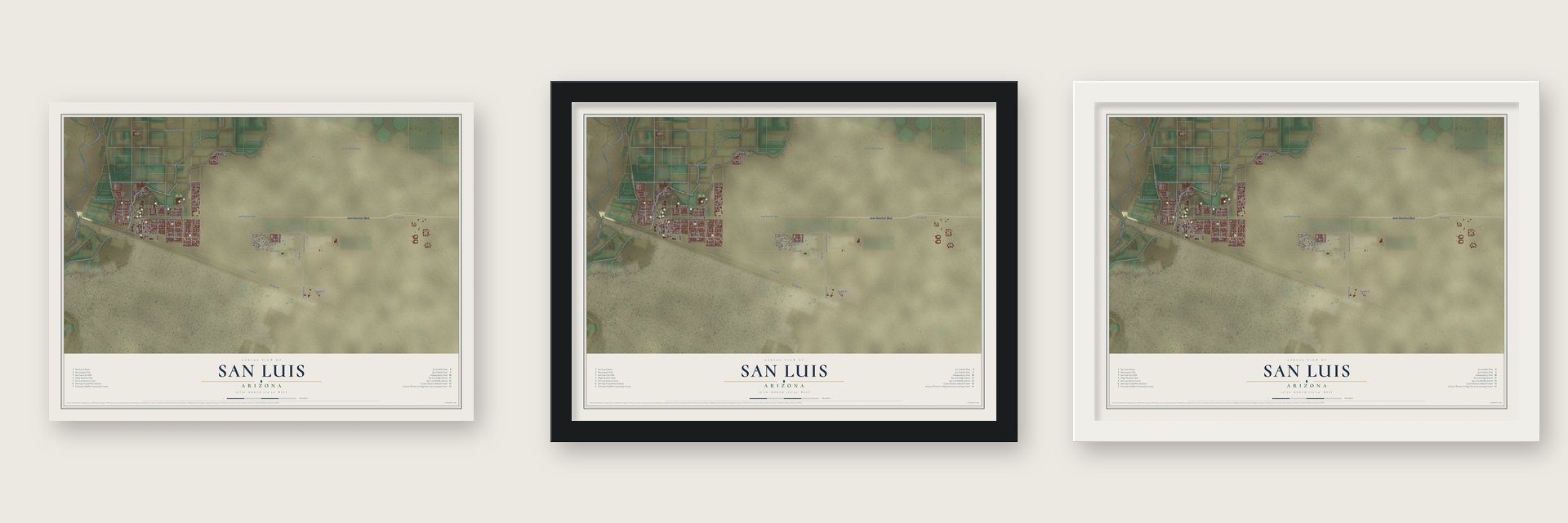
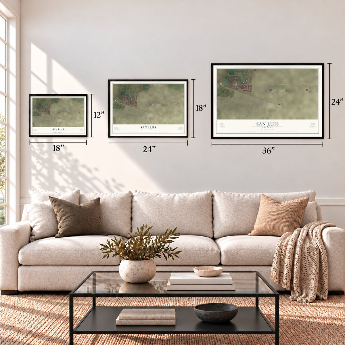
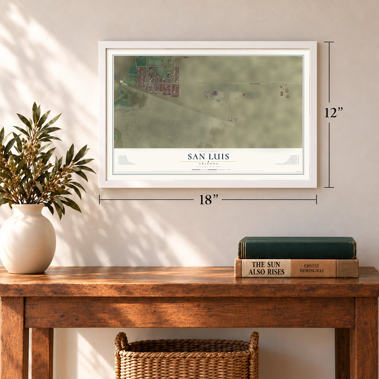
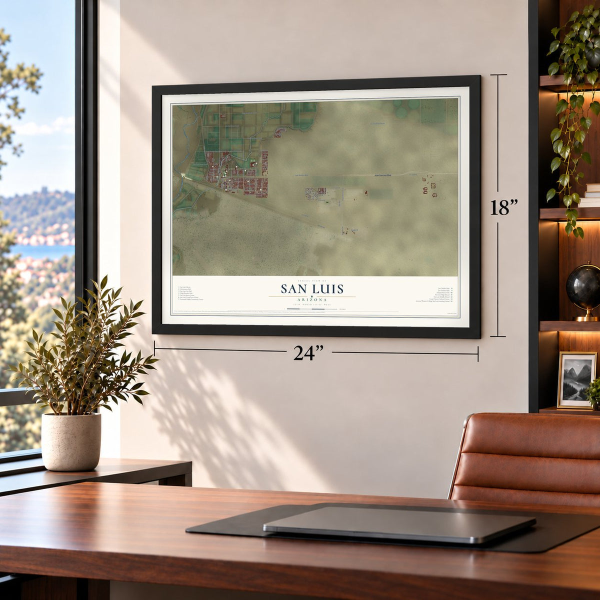
Unframed archival matte, a black wood frame or a white wood frame.
Up close
Geography Worth Displaying
This map was created using accurate cartographic data and authoritative geographic sources, including the U.S. Geological Survey (USGS) and FEMA. The map brings together terrain, waterways, roads, and building detail. The majority of the streets are labeled, houses are accurately depicted, and the topography is derived from government sources. Combining local data with carefully composed color and shading leads to this beautifully detailed San Luis artwork for your wall.
Rather than simply showing street outlines, we’ve included as many of the street names as we could reasonably fit on the map while keeping their names legible. Zoom in on the high resolution preview to see exactly what’s on the map. We truly set out to create a statement piece for anyone who loves San Luis. So whether it’s for you, or a gift for someone you love, we hope this map of San Luis brings back fond memories.
Explore the full map of San Luis, Arizona and read about the local places it shows.
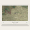
Find your street
Names on the San Luis map
Every name below is printed on this map. Look for your street, your school, the park where you played, or the pond down the road.
Places and landmarks1
- San Luis City Hall
Streets and roads81
- Juan Sanchez Boulevard
- Main Street
- Urtuzuastegu Street
- Udall Lane
- San Luis Lane
- Co 22nd Street South
- Tenth Avenue
- Sixth Avenue
- Kennedy Lane
- South Kennedy Lane
- Ninth Avenue
- Liberty Street
- Bienestar Lane
- Los Olivos Drive
- Monreal Lane
- Co 25th Street
- Garcia Lane
- Border Road
- Sality Canal Road
- Co 24th Street
- Avenue East
- South Avenue East
- Co 21st Street South
- Co 21th Street South
- West County 22nd Street South
- Eighth Avenue
- Babbitt Lane
- Co 23rd Street
- Fourth Avenue
- David Riedel Boulevard
Show all 81 streets
- County Avenue
- Fifth Avenue
- Arizona Street
- Vaughn Street
- Julian Street
- Hidalgo Avenue
- Oak Avenue
- Fifth Street
- Edais Street
- Aracely Street
- East Street
- Zapata Street
- Escamilla Court
- Juarez Street
- Rio Seco Street
- Aquila Street
- Los Olivos
- Iran Avenue
- Mesa Street
- Lirios
- North Main Street
- Merrill Avenue
- Christina Street
- San Francisco Street
- First Street
- San Luis Plaza Drive
- Cesar Chavez Street
- West Canal Drive
- Lakin Drive
- Garcia Boulevard
- Edna Lopez Court
- Cabello Avenue
- 19th Avenue
- Los Jardines
- Lopez Street
- Torres Street
- Harris Avenue
- Piceno Drive
- Uribe Street
- Los Oros Street
- Fourth Drive
- Escondido Street
- Fernando Padilla
- Azucena
- McCain Avenue
- Sixth Place
- Pepp Drive
- Los Portales Avenue
- Rachel Dodge
- Arena Street
- Deena Drive
Names are listed as they appear on the printed map. Zoom into the product photos to find them.
About San Luis, Arizona
San Luis is a city of 35,257 people in Yuma County, in the far southwest corner of Arizona, facing San Luis Río Colorado, Sonora, across the border. The Halywamai people lived in this area long before there was a border, and they joined the Maricopa in the mid-1800s. The American town counts its start from 1930, when a border-crossing station opened here. Two years after that, the United States built a new station for the crossing, a brick building designed in the Spanish Revival style.
In 1980 San Luis had 1,946 people. Growth came quickly after that, and in the 1990s only one city or town in Arizona grew faster. About 20,000 people lived here by 2005. From 2006 to 2012 the city took in more than 16,000 acres through annexation, opening its east side to homes, stores and industry.
- Arizona's lowest groundAt 70 feet above sea level, the lowest spot in Arizona lies on the Colorado River at San Luis, where the river leaves the state and enters Sonora. The river's Spanish name means colored reddish, for the heavy silt it carries.
- Two crossings into SonoraThe San Luis Port of Entry links U.S. Route 95 with Mexican Federal Highway 2. Since 2010, trucks and commercial vehicles have used a second port, San Luis II, 5 miles east of town. Light industry runs on both sides of the line, and the cotton fields of the San Luis growing area belong to both cities.
- Streets named for Cesar ChavezCesar Chavez, who led the farm labor movement, came into the world in nearby Yuma in 1927, and in 1962 he helped found the National Farm Workers Association. San Luis renamed G Street as Cesar Chavez Boulevard and Third Avenue as César Chávez Street, and the city also has the Cesar Chavez Cultural Center, César Chávez Elementary School and the Cesar Chavez Learning Center, a high school.
- The English test of 2012In January 2012 San Luis made national news when city council candidate Alejandrina Cabrera was challenged over her English. Mayor Juan Carlos Escamilla, whom she had twice tried to recall, asked the court to decide whether she qualified, and on January 25 Yuma County Superior Judge John Nelson ordered her name taken off the ballot. Cabrera called the lawsuit political.
- A team for both sidesThe San Luis Atleticos, an independent professional baseball team in the Arizona Winter League, began play in January 2009. The club represents its home city and Mexico as well.
Keep exploring Arizona
San Luis is one of 525 Arizona towns we've mapped. Every dot on the map is a print of its own.
The search covers every state, Arizona first.
Near San Luis
Order 2 or more town maps and save 10%. Shown in the size and finish you picked above, so they hang as a set.
- Gadsden 12" x 18" / Archival Matte Print $39.99
- Somerton 12" x 18" / Archival Matte Print $39.99
- Rancho Mesa Verde 12" x 18" / Archival Matte Print $39.99
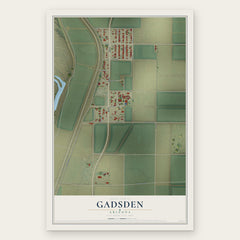

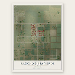
More maps nearby: Orange Grove Mobile Manor, Drysdale, Cocopah Indian Tribe, Yuma and Wall Lane.
The art of mapping a place
How This Map Was Made
Real places. Remarkable detail. Discover the layers that turn geographic data into a map of home.

The view from above
Aerial imagery reveals the character of the land: woodland, open fields, and the patterns of a place.

The shape of the land
Elevation data brings hills, valleys, and subtle changes in the landscape into view.

The details of home
Roads, waterways, and building footprints come together to make the map feel unmistakably local.

Geography becomes art
Considered color, shading, and typography bring the layers together in a map made for your wall.


Process illustrated with Mendon, Massachusetts. Aerial imagery: USDA NAIP. Terrain: USGS 3D Elevation Program. Map details and finished artwork: KNOWOL.
The Details
About This Print
Choose an archival matte print, or a black or white Ayous wood frame. The archival matte print is unframed.
Select your size and finish above to see the matching product image and price.
Materials & Craftsmanship
A contemporary map with the character of a classic atlas, printed on archival matte paper. Optional frames are made from Ayous wood.
Your printed map does not include the watermark shown in the full-map preview.
Shipping & Delivery
Free shipping within the United States. Every print is made to order in the USA.
Buying a gift? Add a note in your cart and we'll include it. We never put prices in the package.
Prints ship within 2 to 3 business days. Allow 7 to 10 days total from ordering for delivery. Timing may vary during holidays or periods of high order volume.
Read our shipping policy.
Returns and damaged prints
Each print is made to order. Change-of-mind refunds are not available after production.
If your print arrives damaged, misprinted or incorrect, contact support@knowol.com within 30 days of receiving it. Include your order number, photos and a description of the issue.
Read our full refund and replacement policy. For questions about your order, email support@knowol.com.