
Search for another town



Free U.S. delivery 7 to 10 days after you order
Sandersville, Georgia Map Art
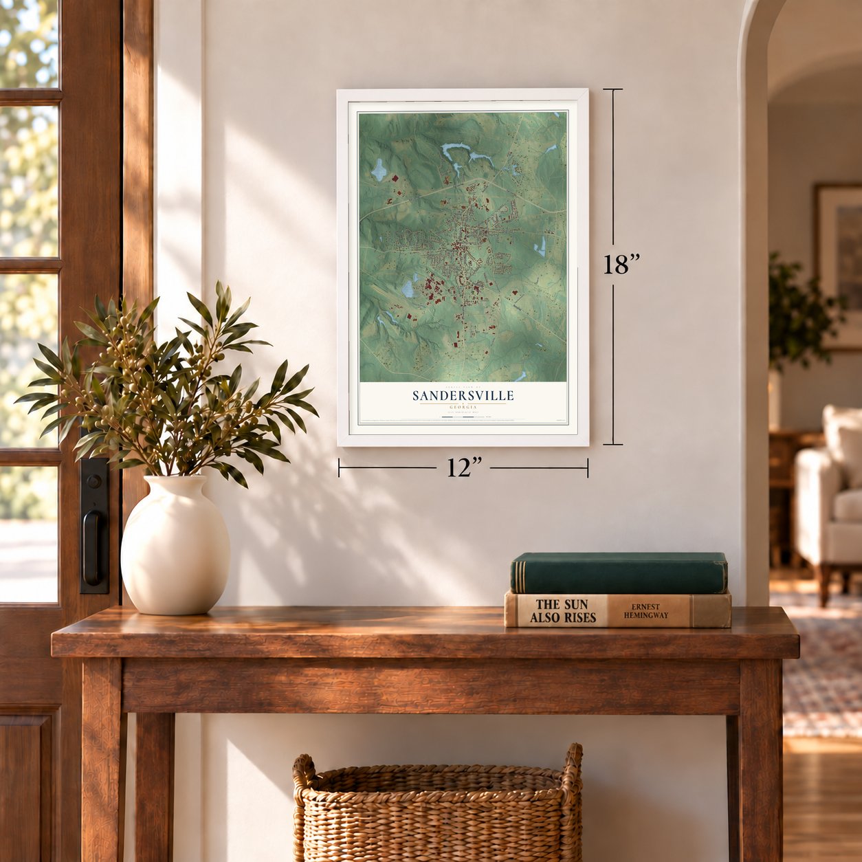
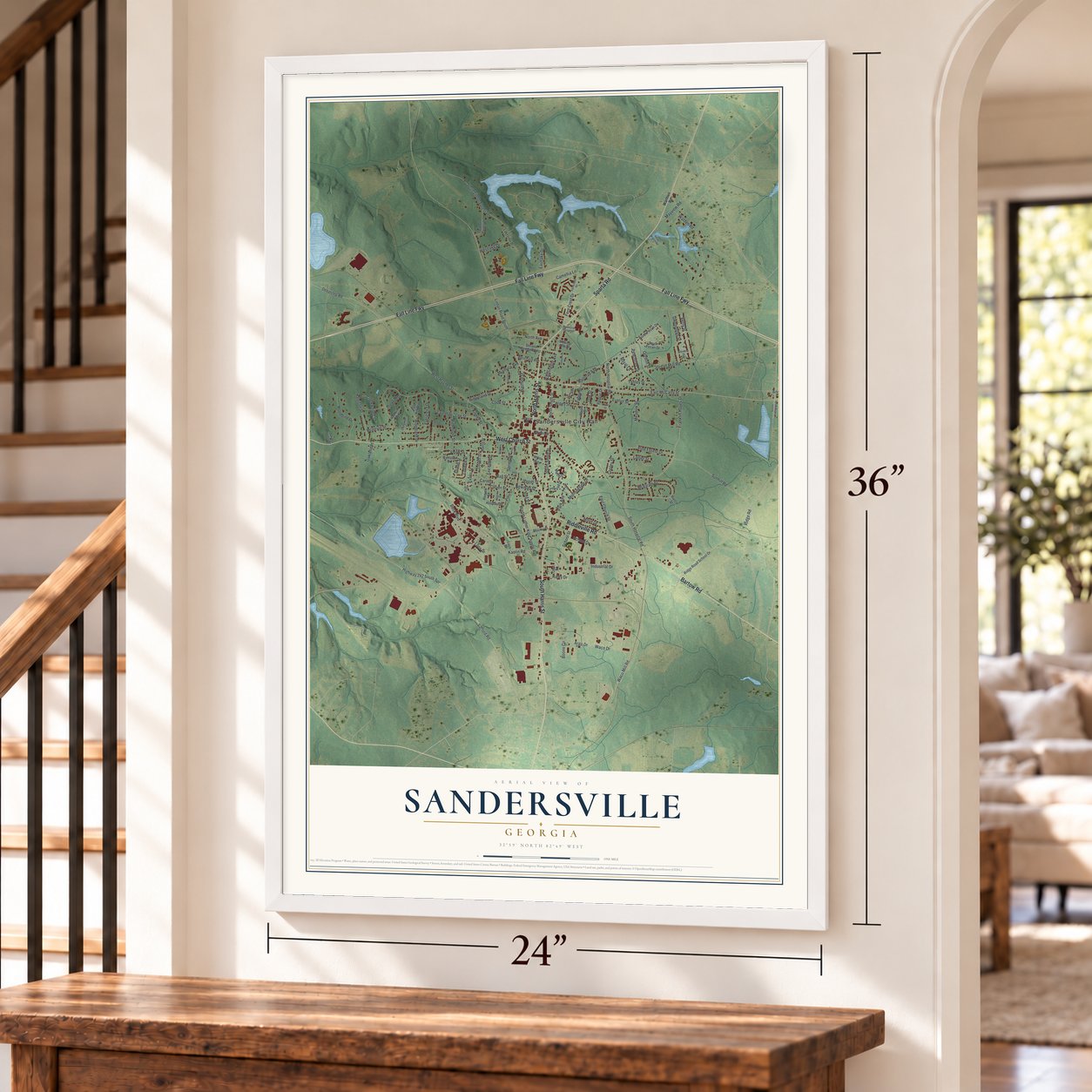
A new map of Sandersville, Georgia, made in 2026 and printed to order on thick archival matte paper.
12" x 18" Archival Matte Print
A Map of Home. A Work of Art.
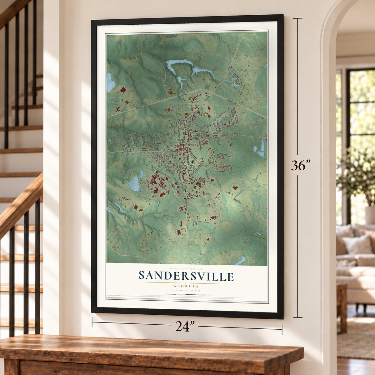
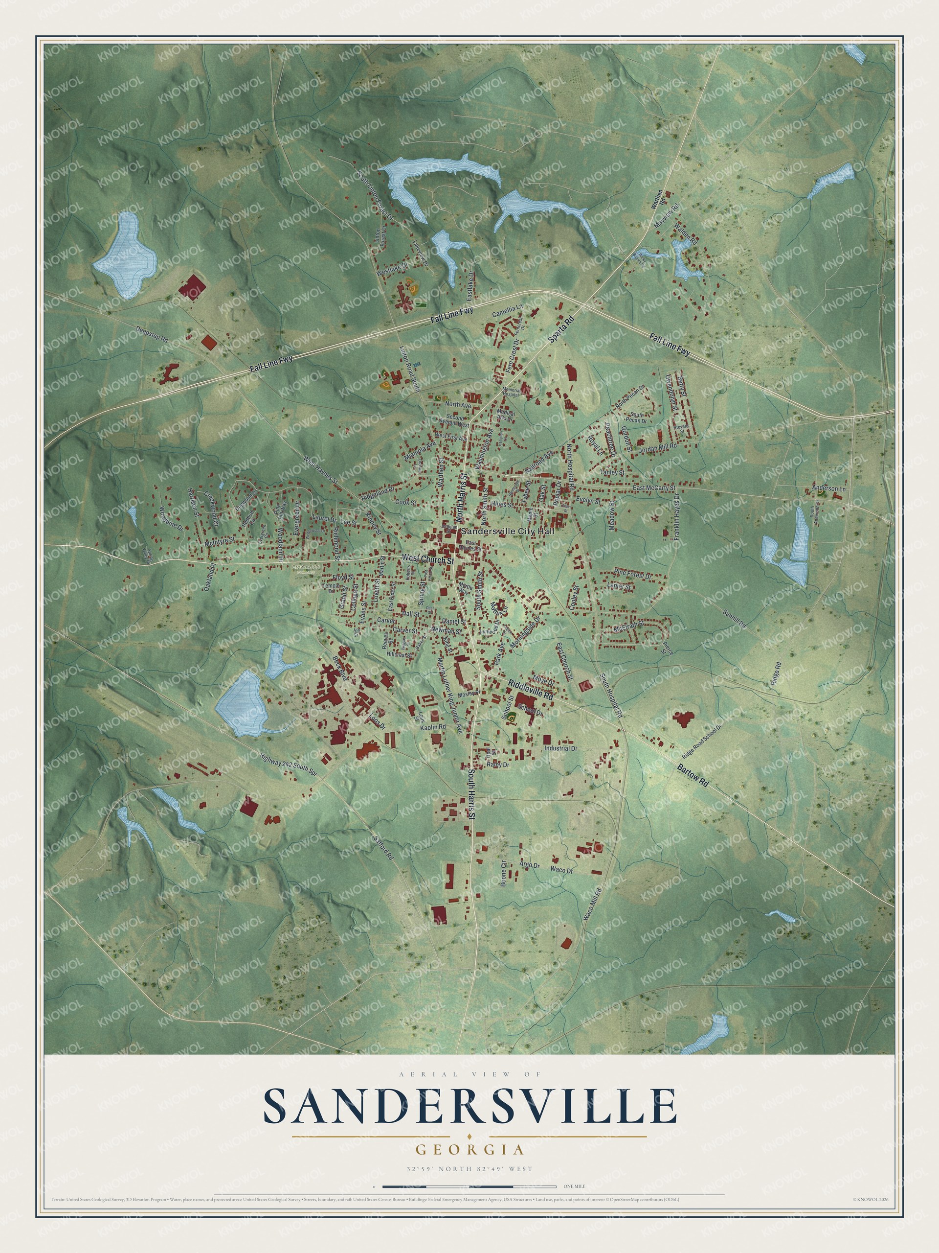
Explore Sandersville, Georgia from a whole new perspective. Created using aerial imagery and detailed geographic data, this map captures Sandersville building by building, with labeled streets, familiar landmarks, and shaded topographical relief that highlights the natural contours of the landscape.
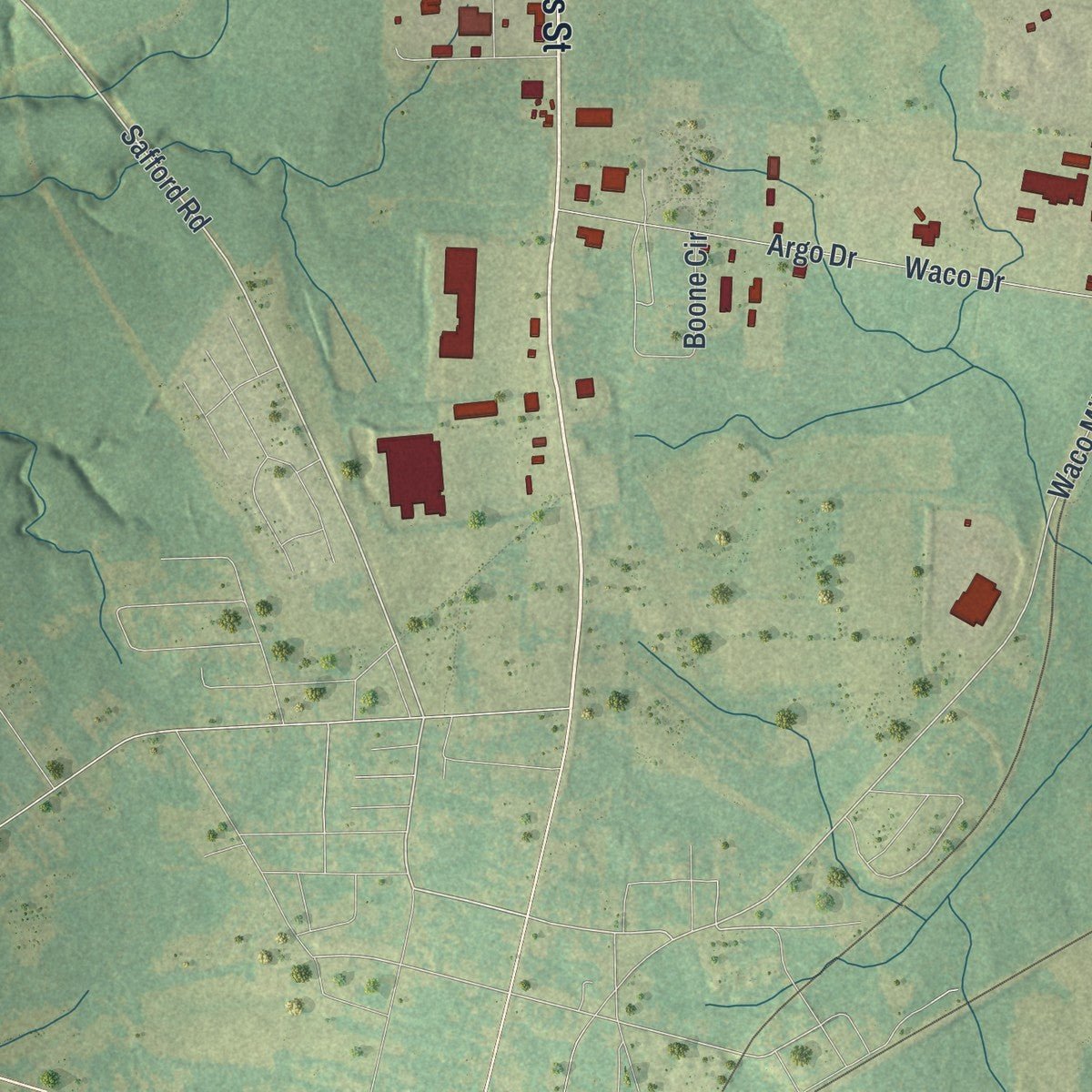
Combining modern data with the timeless character of a vintage atlas, this map is just as interesting up close as it is beautiful on the wall. Whether you grew up in Sandersville, spent memorable years there, or call it home today, this unique map is a great way to celebrate a place that means something to you. Zoom in on the preview to look for your street, and then order a print to put your memories on the wall.
Three ways to hang it
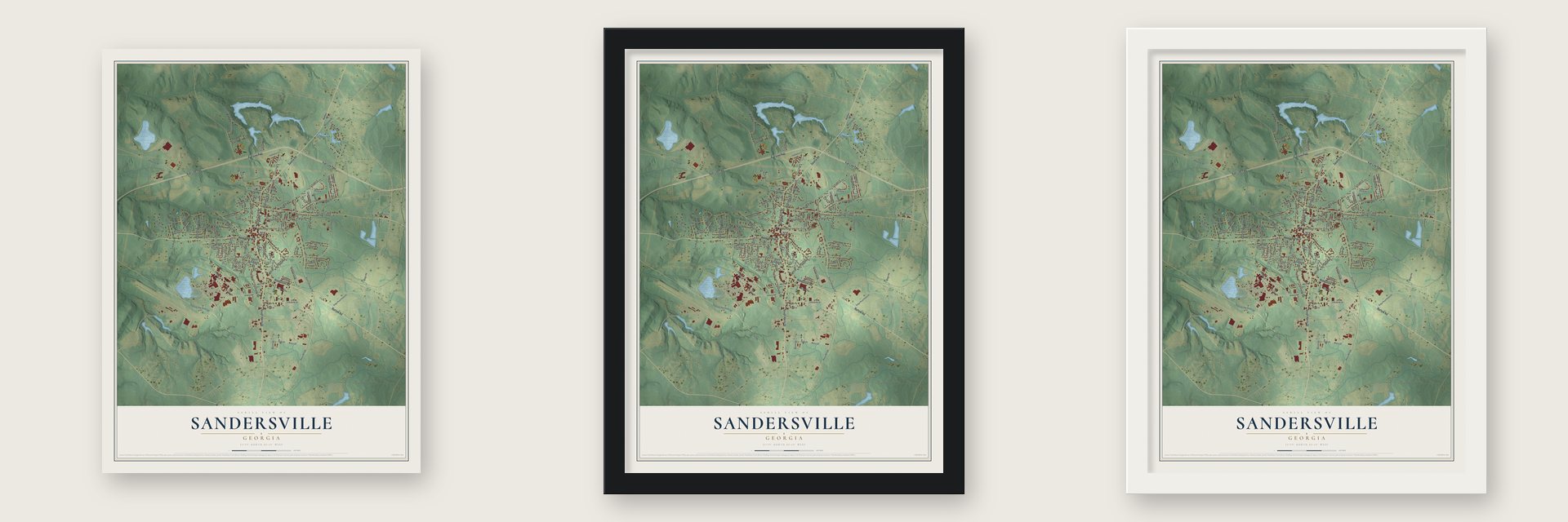
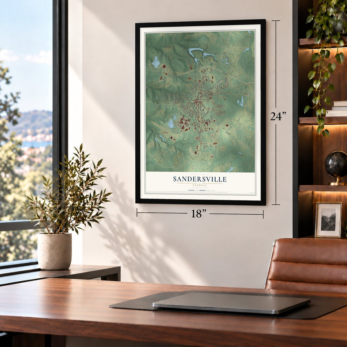
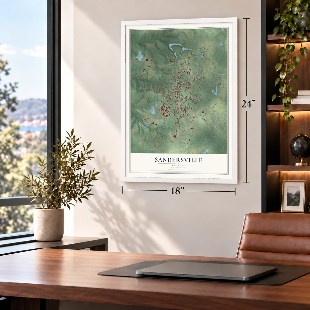
Unframed archival matte, a black wood frame or a white wood frame.
Up close
Geography Worth Displaying
This map was created using accurate cartographic data and authoritative geographic sources, including the U.S. Geological Survey (USGS) and FEMA. The map brings together terrain, waterways, roads, and building detail. The majority of the streets are labeled, houses are accurately depicted, and the topography is derived from government sources. Combining local data with carefully composed color and shading leads to this beautifully detailed Sandersville artwork for your wall.
Rather than simply showing street outlines, we’ve included as many of the street names as we could reasonably fit on the map while keeping their names legible. Zoom in on the high resolution preview to see exactly what’s on the map. We truly set out to create a statement piece for anyone who loves Sandersville. So whether it’s for you, or a gift for someone you love, we hope this map of Sandersville brings back fond memories.
Explore the full map of Sandersville, Georgia and read about the local places it shows.

About Sandersville, Georgia
Sandersville is a city of 5,813 people and the county seat of Washington County. British settlers founded it in Creek territory soon after the American Revolution, before Creek leaders had given up the land. The settlement grew where Native American trails crossed, and M. Saunders later kept a general store on the spot; a book on Georgia place names says the city carries his name. Sandersville became the county seat in 1796, and Anthony Finley's map of Georgia showed the town in 1827. Its weekly paper, The Sandersville Progress, has been printed since 1870.
- Sherman's army in 1864During the March to the Sea in 1864, General William T. Sherman's army fought a brief skirmish at Sandersville and then stopped in the town. The few defenders made their stand at the courthouse. When the Union troops moved on, they set fire to the courthouse and the jail but spared the rest of the town. The county built a new Washington County Courthouse in 1869.
- A railroad since 1893The Sandersville Railroad was built in 1893 as part of the Central of Georgia Railway. It still runs as a privately owned shortline, linking with Norfolk Southern at Tennille, 4 miles to the south.
- Kaolin Capital of the WorldFor many years the town lived on farming, especially cotton. In the 1950s a new industry grew up around mining and processing the kaolin clay found nearby, and Sandersville came to be called the "Kaolin Capital of the World."
- Willie McCovey in 1955Sandersville fielded minor league teams in the Class D Georgia State League from 1953 to 1956, first the Wacos and then the Giants, who played at Sandersville Baseball Park. In 1955 the Giants had Willie McCovey on their roster, years before he was elected to the Baseball Hall of Fame. When the league shut down after the 1956 season, the Sandersville club went with it.
Find your street
Names on the Sandersville map
Every name below is printed on this map. Look for your street, your school, the park where you played, or the pond down the road.
Places and landmarks2
- Sandersville City Hall
- Brownwood Cemetery
Streets and roads137
- North Harris Street
- South Harris Street
- Sparta Road
- Bartow Road
- West Church Street
- Fall Line Fwy
- Riddleville Road
- East McCarty Street
- Safford Road
- Highway 242 South Spr
- Waco Mill Road
- West Haynes Street
- Boone Circle
- South Linton Forest Drive
- Laurel Drive
- Ridge Road
- Sunhill Road
- Kaolin Road
- Linton Road South
- East Church Street
- North Hospital Road
- Beck Boulevard
- South Hospital Road
- Martin Luther King Junior Avenue
- Evergreen Drive
- Deepstep Road
- Jordan Mill Road
- Industrial Drive
- Walden Road
- Warthen Street
Show all 137 streets
- Floyd Street
- Argo Drive
- Waco Drive
- Franklin Hayes Drive
- Ridgeland Drive
- Railroad Avenue
- North Smith Street
- Hines Street
- South Smith Street
- Moye Drive
- Fern Crest Drive
- Carver Street
- Morningside Drive
- Woodbine Drive
- Washington Avenue
- Kinney Street
- Harrison Street
- Spring Street
- Woodland Drive
- Gwendolyn Street
- McElrath Street
- Betty Street
- Pine Forest Drive
- Hall Street
- School Street
- Royal Lane
- Richmond Street
- Cook Street
- Mathis Lane
- Evans Street
- School Drive
- Newman Street
- North Avenue
- College Street
- Lovett Street
- Lanier Street
- Westlake Drive
- Tanley Street
- Park Avenue
- Mayview Road
- Grand Street
- Creekwood Court
- Meadow Street
- Raley Drive
- McIntyre Street
- Camellia Lane
- Anderson Lane
- Peachtree Drive
- Cooley Street
- Evelyn Street
- Eastlake Drive
- Lee Street
- Miamola Avenue
- Daniel Street
- Oakland Place
- Oak Street
- Tybee Street
- Poplar Drive
- Gordon Street
- Loos Drive
- Carver
- Hillcrest Street
- Ridge Road School Drive
- Linton Forest Drive
- North Pecan Drive
- Second Avenue West
- Lakeview Drive
- Lynwood Drive
- West First Avenue
- East Elder Street
- King Street
- Dogwood Drive
- Mosley Place
- South Pecan Drive
- Maple Street
- Pine Hill Way
- East Haynes Street
- Temple Drive
- Myrtle Way
- Reeves Street
- Medical Arts Drive
- Martin Street
- Redbud Circle
- Pierce Street
- Lous Street
- Opal Street
- Warthen Road
- Ferncrest Drive
- Memorial Hospital
- South Anderson Drive
- Baker Street
- Roberts Street
- Evergreen Circle
- Spring Valley Drive
- Jernigan Street
- Stevens Street
- Hill Street
- Wedgewood Drive
- Legion Drive
- Wiggins Street
- Henderson Street
- Orchard Lane
- Post Office Street
- Hampton Court
- Rocky Branch Road
- Plum Street
- Deer Street
Names are listed as they appear on the printed map. Zoom into the product photos to find them.
The art of mapping a place
How This Map Was Made
Real places. Remarkable detail. Discover the layers that turn geographic data into a map of home.

The view from above
Aerial imagery reveals the character of the land: woodland, open fields, and the patterns of a place.

The shape of the land
Elevation data brings hills, valleys, and subtle changes in the landscape into view.

The details of home
Roads, waterways, and building footprints come together to make the map feel unmistakably local.

Geography becomes art
Considered color, shading, and typography bring the layers together in a map made for your wall.


Process illustrated with Mendon, Massachusetts. Aerial imagery: USDA NAIP. Terrain: USGS 3D Elevation Program. Map details and finished artwork: KNOWOL.
The Details
About This Print
Choose an archival matte print, or a black or white Ayous wood frame. The archival matte print is unframed.
Select your size and finish above to see the matching product image and price.
Materials & Craftsmanship
A contemporary map with the character of a classic atlas, printed on archival matte paper. Optional frames are made from Ayous wood.
Your printed map does not include the watermark shown in the full-map preview.
Shipping & Delivery
Free shipping within the United States. Every print is made to order in the USA.
Buying a gift? Add a note in your cart and we'll include it. We never put prices in the package.
Prints ship within 2 to 3 business days. Allow 7 to 10 days total from ordering for delivery. Timing may vary during holidays or periods of high order volume.
Read our shipping policy.
Returns and damaged prints
Each print is made to order. Change-of-mind refunds are not available after production.
If your print arrives damaged, misprinted or incorrect, contact support@knowol.com within 30 days of receiving it. Include your order number, photos and a description of the issue.
Read our full refund and replacement policy. For questions about your order, email support@knowol.com.
Find your town
Looking for another city?
Find a map of home in our Georgia collection, or any town in the country.
Nearby
Maps of towns near Sandersville
Know someone from one of these towns? Their map makes a great gift.
 Tennille
, Georgia
From $39.99See the map
 Warthen
, Georgia
From $39.99See the map
 Riddleville
, Georgia
From $39.99See the map
More maps nearby: Deepstep, Harrison, Davisboro, Oconee and Edge Hill.