


Search for another town





Free U.S. delivery 7 to 10 days after you order
Sandpoint, Idaho Map Art
Building by building, with labeled streets and shaded relief.
12" x 18" Archival Matte Print
A Map of Home. A Work of Art.
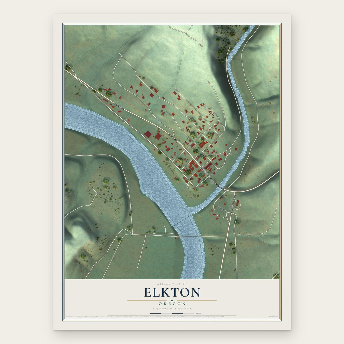
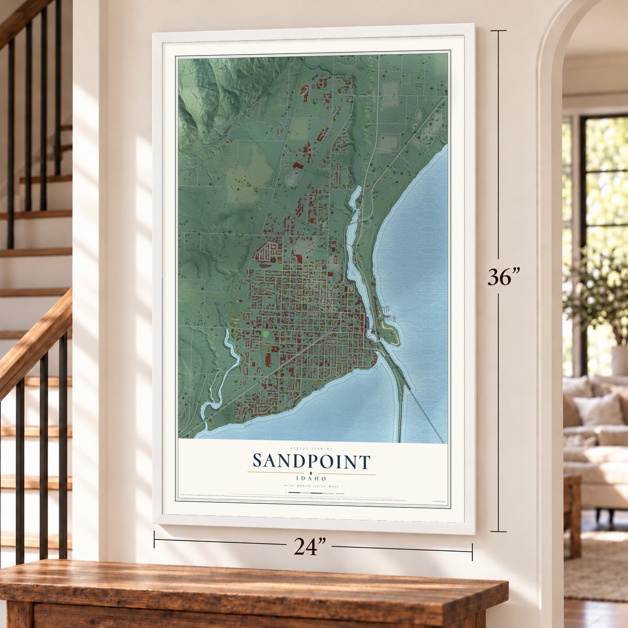
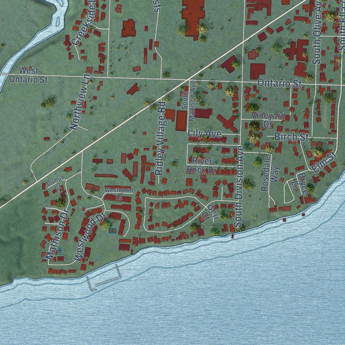
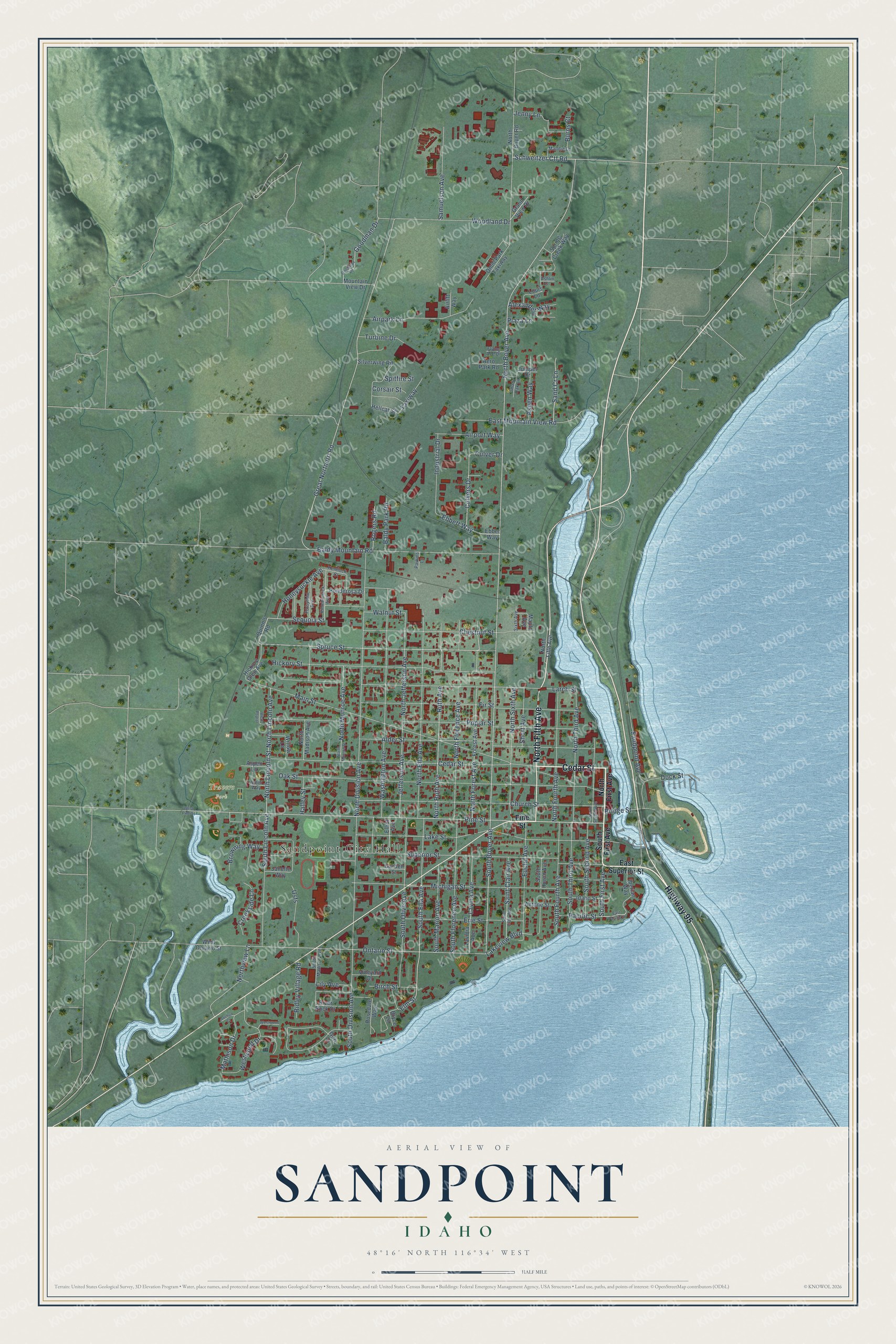
Explore Sandpoint, Idaho from a whole new perspective. Created using aerial imagery and detailed geographic data, this map captures Sandpoint building by building, with labeled streets, familiar landmarks, and shaded topographical relief that highlights the natural contours of the landscape.
Combining modern data with the timeless character of a vintage atlas, this map is just as interesting up close as it is beautiful on the wall. Whether you grew up in Sandpoint, spent memorable years there, or call it home today, this unique map is a great way to celebrate a place that means something to you. Zoom in on the preview to look for your street, and then order a print to put your memories on the wall.
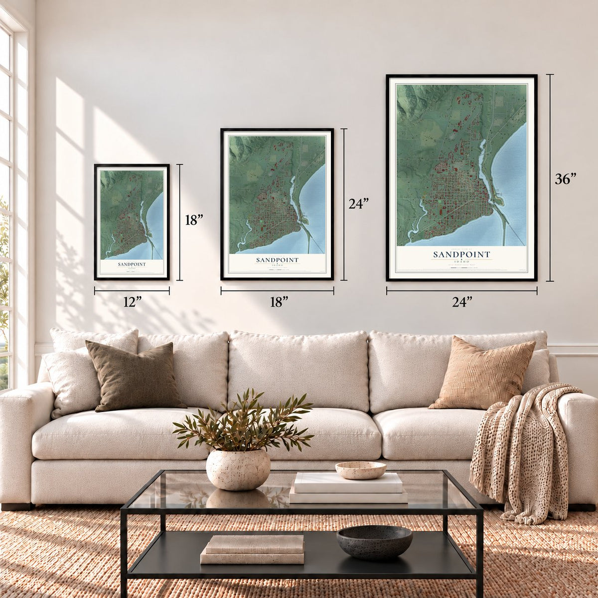
Three ways to hang it
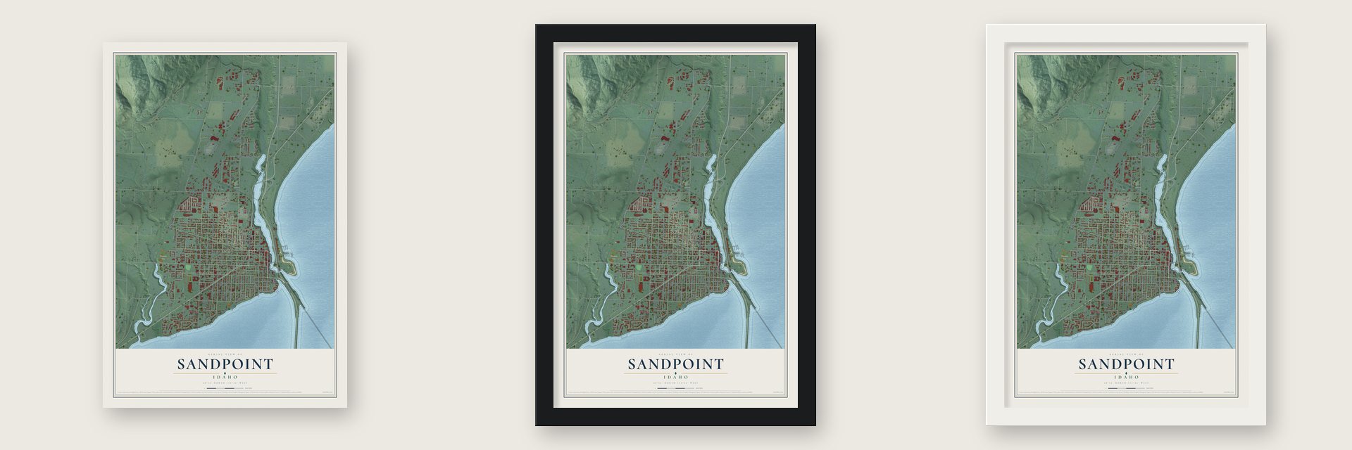
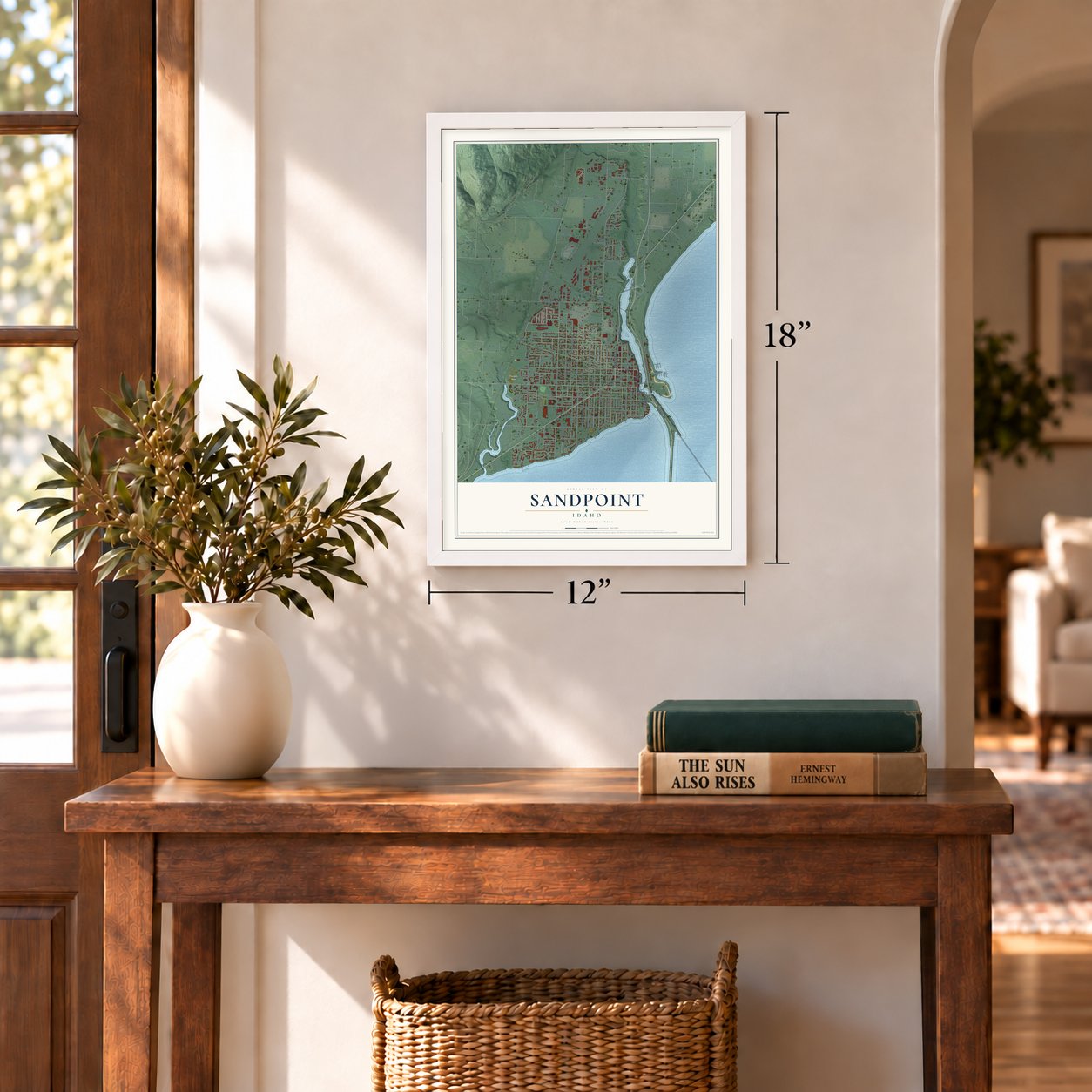
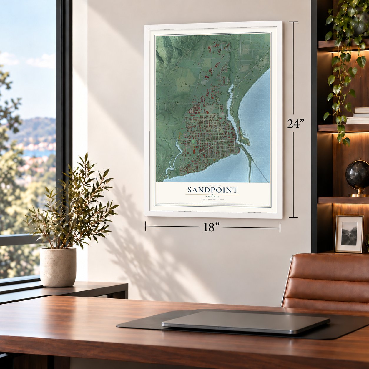
Unframed archival matte, a black wood frame or a white wood frame.
Up close
Geography Worth Displaying
This map was created using accurate cartographic data and authoritative geographic sources, including the U.S. Geological Survey and the Census Bureau. The map brings together terrain, waterways, roads, and building detail. The majority of the streets are labeled, houses are accurately depicted, and the topography is derived from government sources. Combining local data with carefully composed color and shading leads to this beautifully detailed Sandpoint artwork for your wall.
Rather than simply showing street outlines, we’ve included as many of the street names as we could reasonably fit on the map while keeping their names legible. Zoom in on the high resolution preview to see exactly what’s on the map. We truly set out to create a statement piece for anyone who loves Sandpoint. So whether it’s for you, or a gift for someone you love, we hope this map of Sandpoint brings back fond memories.
Read the story behind this map of Sandpoint, Idaho from 2026.

Find your street
Names on the Sandpoint map
Every name below is printed on this map. Look for your street, your school, the park where you played, or the pond down the road.
Places and landmarks2
- Sandpoint City Hall
- Travers Park
Streets and roads149
- Cedar Street
- North Fifth Avenue
- Highway 95
- Pine Street
- South First Avenue
- South Ella Avenue
- Spruce Street
- Elm Street
- Schweitzer Ctf Road
- North Boyer Avenue
- South Boyer Avenue
- Sequoia Street
- Ebbett Way
- Culvers Drive
- Lakeview Boulevard
- Ontario Street
- North Jefferson Avenue
- Main Street
- Great Northern Road
- Oak Street
- Larch Street
- Baldy Mountain Road
- North Division Avenue
- Lake Street
- Superior Street
- Church Street
- Poplar Street
- Alder Street
- South Division Avenue
- Washington Avenue
Show all 149 streets
- Hickory Street
- Fir Street
- Michigan Street
- North Ella Avenue
- North Forest Avenue
- North Ruth Avenue
- North Florence Avenue
- Ruth Avenue
- Chestnut Street
- South Olive Avenue
- Culver Drive
- North Sixth Avenue
- Woodland Drive
- South Florence Avenue
- South Lincoln Avenue
- North Third Avenue
- North Fourth Avenue
- East Mountain View Road
- North Lincoln Avenue
- North Lincoln Street
- Erie Street
- Airpark Lane
- Euclid Avenue
- South Fourth Avenue
- South Third Avenue
- Lavina Avenue
- North Monroe Avenue
- South Second Avenue
- Samuelson Avenue
- Mathison Drive
- Sandpoint Avenue
- Westwood Drive
- South Marion Avenue
- Dock Street
- Saint Clair Avenue
- Walnut Street
- Goodman Drive
- Industrial Drive
- Jefferson Avenue
- Honeysuckle Avenue
- Jenny Lane
- Airport Way
- Northview Lane
- Aspen Way
- Sand Cr Lane
- Usfs
- Turbine Drive
- Creekside Lane
- Short Avenue
- Ridley Village Road
- Browning Way
- Baldy Park Road
- Alexander Way
- Bridge Street
- Birch Street
- Pacific Street
- Rogers Road
- Taxiway
- Lily Avenue
- Corsair Street
- Burns Court
- Halley Street
- Spitfire Street
- Plaza Lane
- North First Avenue
- East Superior Street
- Quinn's Road
- Ebbet Way
- Forest Avenue
- Lavinia Avenue
- Silverwing Road
- Janelle Way
- North Madison Avenue
- Ponderosa Drive
- Rosedale Way
- Spring Creek Way
- North Boyer Road
- South Huron Avenue
- Iberian Way
- Idaho Street
- Omni Park Taxiway
- Hickory Glen Avenue
- Willow Lane
- Juniper Drive
- Elliot Avenue
- River Rock Drive
- Aero Park Road
- Antone Street
- West Ontario Street
- Mountain View Drive
- Vineyard Drive
- Grand View Drive
- Maple Avenue
- Louis Lane
- Hellcat Street
- Aspen Lane
- Airlift Way
- Garden Street
- Bryce Lane
- Geri Court
- Kinnikinnick Avenue
- Forsythia Avenue
- South Madison Avenue
- Maddie Lane
- Hemlock Court
- Sixth Avenue
- Shady Oak Lane
- Flying Ace Drive
- Arbor Way
- Parkins Lane
- Ashlin Court
- East Pacific Street
- North Monroe Street
- North Second Avenue
- Goodman Road
- Westwood Lane
- West Poplar
- Joshua Court
- West Pine Street
Names are listed as they appear on the printed map. Zoom into the product photos to find them.
About Sandpoint, Idaho
Sandpoint is a city of 8,639 people and the county seat of Bonner County, set on the shore of Lake Pend Oreille, the largest lake in Idaho. Long before settlers came, Kalispel and Kootenai families camped along the lakeshore each summer. They fished, wove baskets from cedar and picked huckleberries, then went home to Montana or Washington when fall came.
In 1880 Robert Weeks opened a general store here and traded in furs. The Northern Pacific Railroad arrived during the same decade and brought European and Chinese settlers with it. In August 1888 a 29-year-old Theodore Roosevelt came through on a caribou hunt in the Selkirk Mountains and wrote about how rough a place "Sand Point" was. The town was incorporated in 1898.
- Humbird Lumber, from 1900Loggers moved west from the cut-over forests of the Great Lakes, and lumber companies were working here by 1896. The biggest, the Humbird Lumber Company, bought land from the Northern Pacific and built a large mill at Sandpoint and neighboring Kootenai. It ran its own rail lines up Grouse Creek, Gold Creek and Rapid Lightning Creek. The trees never ran out, but low timber prices in the Great Depression finished the company around 1944.
- The stump ranchesHumbird sold its logged-over land to families as "stump ranches," and they spent years pulling stumps to clear much of the valley. Farming and ranching grew into the area's third-biggest business, after lumber and the railroads. That held until the 1950s, when anglers found Lake Pend Oreille and it became known as a sports fishery.
- Schweitzer opened in 1963The opening of Schweitzer Mountain Resort in 1963 made Sandpoint a place to visit in every season, not only in summer. Schweitzer is now Idaho's largest ski resort, and each February the town holds the Sandpoint Winter Carnival.
- Standing up to Aryan NationsIn the 1980s and 1990s, white supremacist groups led by Aryan Nations set up headquarters at Hayden Lake, 30 miles south. Many Sandpoint residents opposed them, and some founded the Bonner County Human Rights Task Force. In 2001 Aryan Nations lost a lawsuit that bankrupted it, and the group had to give up its Hayden Lake property and break up.
- Idaho's only Amtrak stopSandpoint grew up as a railroad town, and trains still stop here every day. Amtrak's Empire Builder, which runs from Seattle and Portland east to Chicago, calls at Sandpoint station, the only Amtrak station in the state. The Sandpoint Burlington Northern Railway Station joined the National Register in 1973.
Keep exploring Idaho
Sandpoint is one of 279 Idaho towns we've mapped. Every dot on the map is a print of its own.
The search covers every state, Idaho first.
Near Sandpoint
Order 2 or more town maps and save 10%. Shown in the size and finish you picked above, so they hang as a set.
- Ponderay 12" x 18" / Archival Matte Print $39.99
- Dover 12" x 18" / Archival Matte Print $39.99
- Kootenai 12" x 18" / Archival Matte Print $39.99


More maps nearby: Sagle, Laclede, Hope, East Hope and Priest River.
The art of mapping a place
How This Map Was Made
Real places. Remarkable detail. Discover the layers that turn geographic data into a map of home.

The view from above
Aerial imagery reveals the character of the land: woodland, open fields, and the patterns of a place.

The shape of the land
Elevation data brings hills, valleys, and subtle changes in the landscape into view.

The details of home
Roads, waterways, and building footprints come together to make the map feel unmistakably local.

Geography becomes art
Considered color, shading, and typography bring the layers together in a map made for your wall.


Process illustrated with Mendon, Massachusetts. Aerial imagery: USDA NAIP. Terrain: USGS 3D Elevation Program. Map details and finished artwork: KNOWOL.
The Details
About This Print
Choose an archival matte print, or a black or white Ayous wood frame. The archival matte print is unframed.
Select your size and finish above to see the matching product image and price.
Materials & Craftsmanship
A contemporary map with the character of a classic atlas, printed on archival matte paper. Optional frames are made from Ayous wood.
Your printed map does not include the watermark shown in the full-map preview.
Shipping & Delivery
Free shipping within the United States. Every print is made to order in the USA.
Buying a gift? Add a note in your cart and we'll include it. We never put prices in the package.
Prints ship within 2 to 3 business days. Allow 7 to 10 days total from ordering for delivery. Timing may vary during holidays or periods of high order volume.
Read our shipping policy.
Returns and damaged prints
Each print is made to order. Change-of-mind refunds are not available after production.
If your print arrives damaged, misprinted or incorrect, contact support@knowol.com within 30 days of receiving it. Include your order number, photos and a description of the issue.
Read our full refund and replacement policy. For questions about your order, email support@knowol.com.