
Search for another town





Free U.S. delivery 7 to 10 days after you order
Saratoga Springs, Utah Map Art
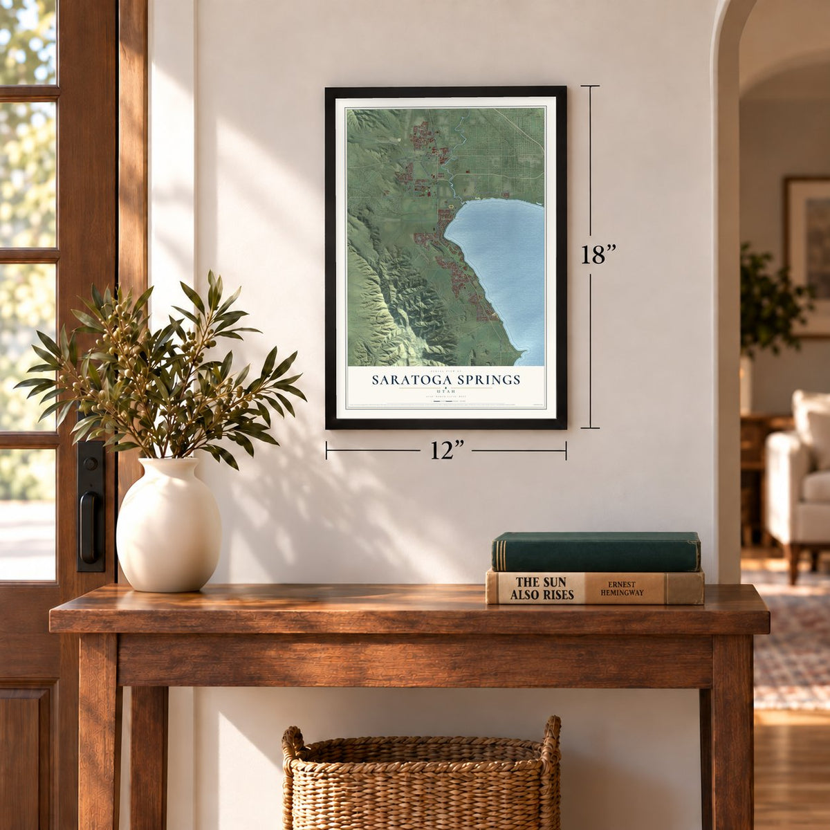
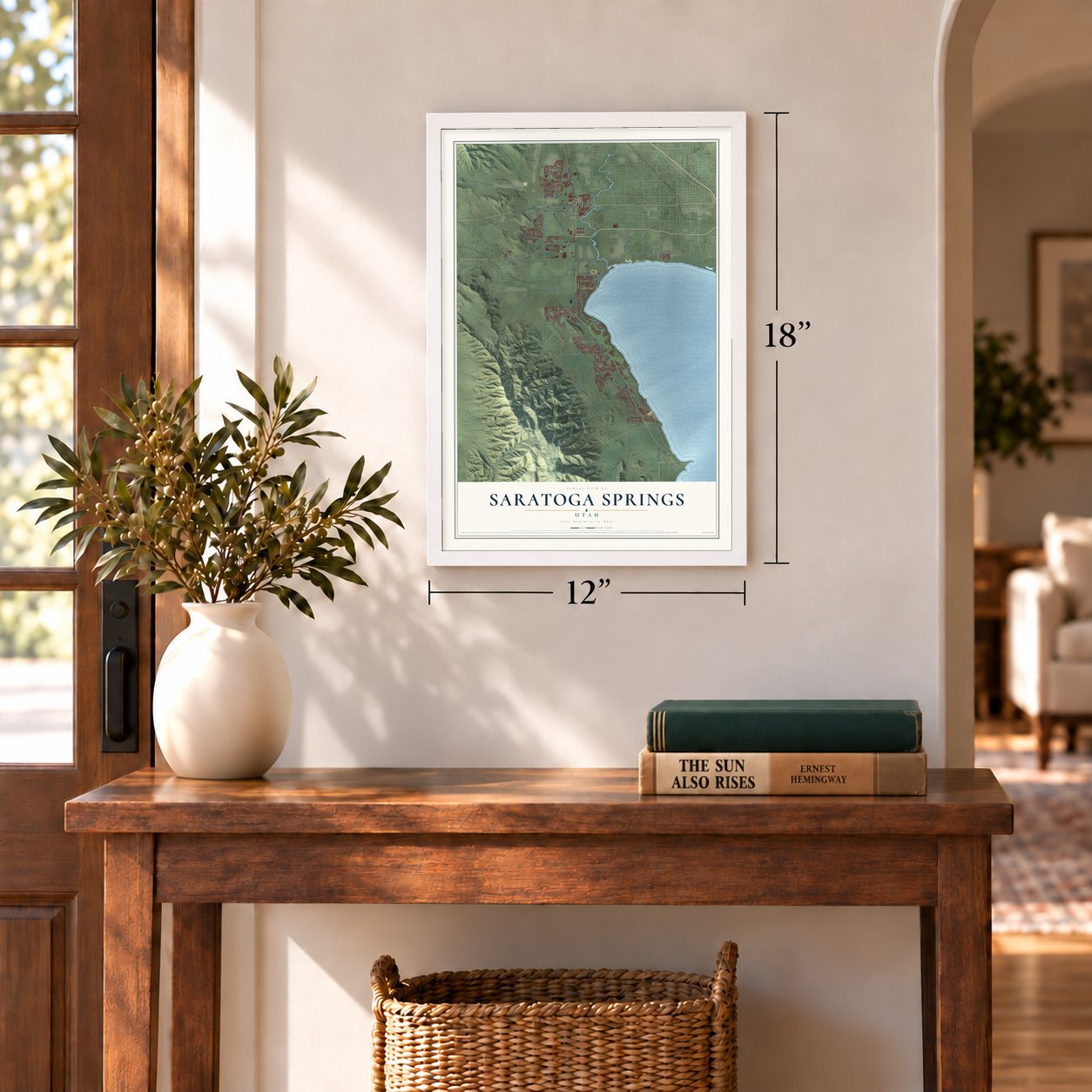
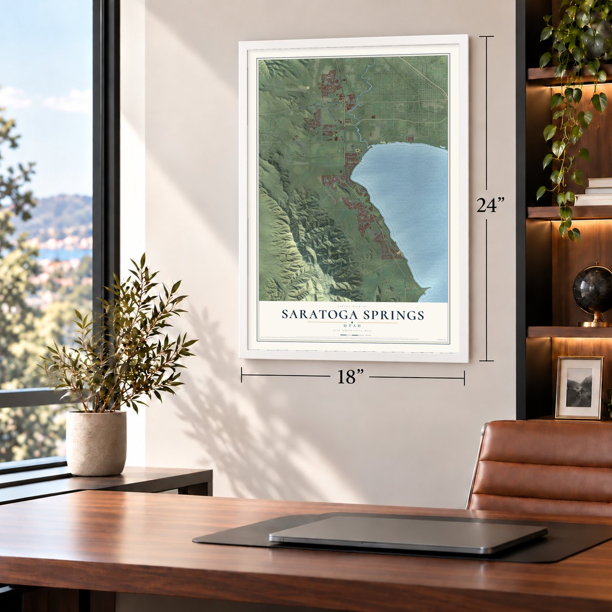
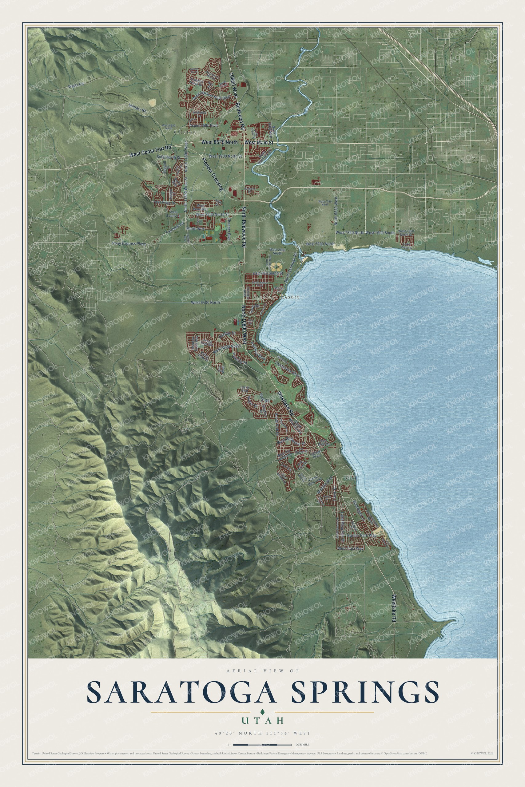
A new map of Saratoga Springs, Utah, made in 2026 and printed to order on thick archival matte paper.
12" x 18" Archival Matte Print
A Map of Home. A Work of Art.
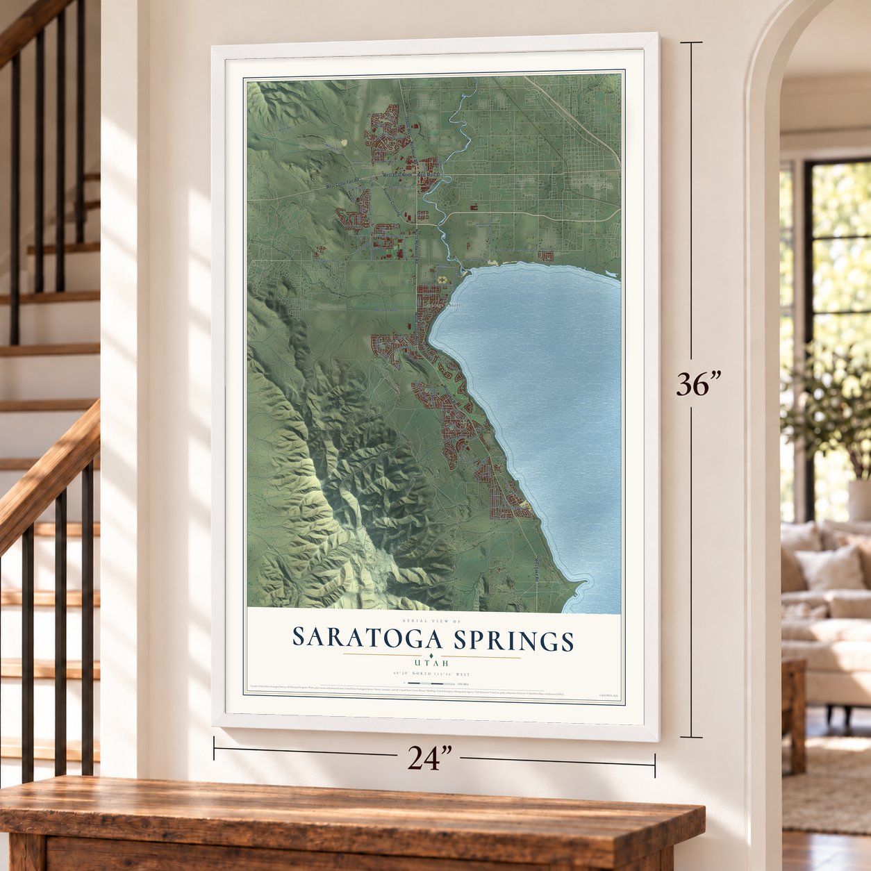
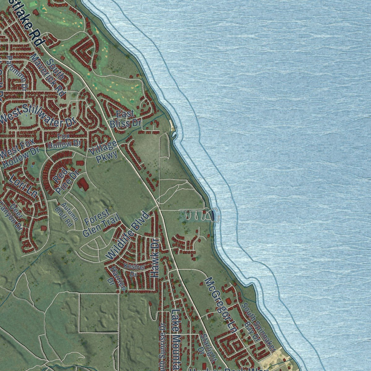
This beautifully detailed map of Saratoga Springs, Utah was created in 2026 using aerial imagery combined with modern topographical, census, street and landmark data. It's a modern aerial view of Saratoga Springs in Utah County, Utah, that combines modern data with a vintage aesthetic. Zoom in on the preview and look for your block.
Three ways to hang it
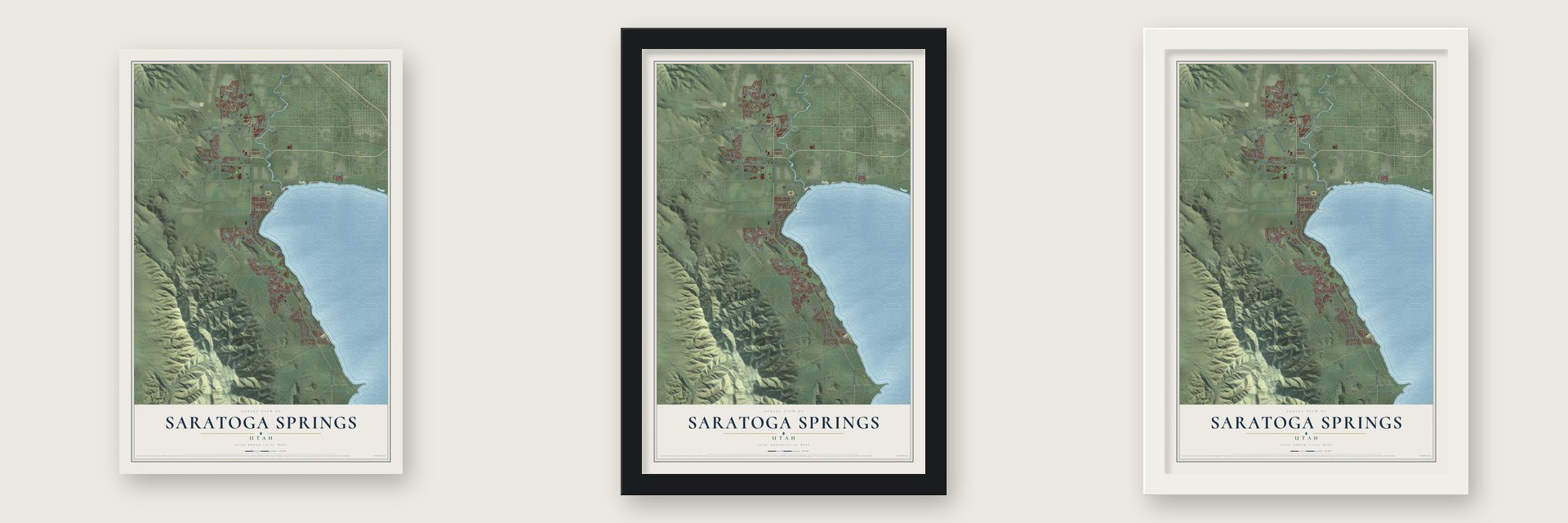
Unframed archival matte, a black wood frame or a white wood frame.
Up close
Real geography. Art worth displaying.
This map was created using accurate cartographic data and authoritative geographic sources, including the U.S. Geological Survey and the Census Bureau. The map brings together terrain, waterways, roads, and building detail. The majority of the streets are labeled, houses are accurately depicted, and the topography is derived from government sources. Combining local data with carefully composed color and shading leads to this beautifully detailed Saratoga Springs artwork for your wall.
Rather than simply showing street outlines, we’ve included as many of the street names as we could reasonably fit on the map while keeping their names legible. Zoom in on the high resolution preview to see exactly what’s on the map. We truly set out to create a statement piece for anyone who loves Saratoga Springs. So whether it’s for you, or a gift for someone you love, we hope this map of Saratoga Springs brings back fond memories.
Read the story behind this map of Saratoga Springs, Utah from 2026.

About Saratoga Springs, Utah
Saratoga Springs is a city of 37,696 people in Utah County, on the northwestern shore of Utah Lake. Natural hot springs near the head of the Jordan River drew early settlers. In 1884 the family of John Beck opened a resort there called Beck's Saratoga Springs, after the well-known resort in New York. The Becks lived at the resort, and its lodges and amusement park drew many tourists.
In the early 1990s landowners wanted to build homes around the springs and in the foothills of the Lake Mountains. Utah County's rules were not made for city growth, so they asked to become a town. Saratoga Springs was incorporated on December 31, 1997, and it became a city in 2001. Later annexations stretched it into a narrow strip more than eleven miles long, from Pelican Point on Utah Lake north to Camp Williams.
- The Beck resort todayThe resort's first buildings were torn down. The grounds were later rebuilt as a private resort with an outdoor pool, a clubhouse, a bowery and a kitchen for groups and parties.
- A library built by volunteersIn 2010 the city council gave $10,000 to start a city library, and volunteers donated most of what it needed. By 2013 it was so popular that the council made it a full-time library, open full-time hours from January 1, 2014. By August 2022 it had more than 8,000 cardholders and over 24,000 items.
- A temple dedicated in 2023On April 2, 2017, Thomas S. Monson, then leading the Latter-day Saint church, said it would build a temple in Saratoga Springs. Public tours of the new Saratoga Springs Utah Temple ran from April to July 2023, and the building was dedicated on August 13, 2023.
- From mayor to CongressMia Love served as mayor of Saratoga Springs before she was elected to the U.S. House. She was the first Black woman elected to Congress as a Republican. She lived from 1975 to 2025.
Find your street
Names on the Saratoga Springs map
Every name below is printed on this map. Look for your street, your school, the park where you played, or the pond down the road.
Places and landmarks2
- Clinton
- Saratoga Resort
Streets and roads101
- North 10800 West
- North Redwood Road
- West Main Street
- West 8570 North
- Westlake Road
- Pioneer Crossing
- 10800 West
- Redwood Road
- West Cedar Fort Road
- West 5800 North
- West 1900 South
- West 7200 North
- Fairfield Road
- North 11600 West Street
- Military Road
- 8400 North Street
- Centennial Boulevard
- West 1200 North Street
- North 9550 West
- North Saratoga Road
- West Stillwater Drive
- Marie Way
- Lori Lane
- McGregor Lane
- North 11600 West
- Pony Express Parkway
- West 6400 North
- West 7350 North
- Parkway Boulevard
- Aspen Hills Boulevard
Show all 101 streets
- Hillside Drive
- West 7400 North Street
- West Harvest Hills Boulevard
- Lake Mountain Drive
- Harbor Park Way
- East 400 South Street
- Parkside Drive
- South Colt Drive
- Wildlife Boulevard
- Thunder Boulevard
- Ruger Drive
- Ring Road
- West Casi Way
- Watts Road
- Cove Road
- Hawk Drive
- North Riverside Drive
- North 3600 West
- Talus Ridge Drive
- East Bliss Drive
- Burro Way
- West 7350 North Street
- Village Parkway
- Meadow Crest Way
- South Maverick Road
- West Fox Hollow Drive
- Sagehill Drive
- West 2400 South
- Lariat Boulevard
- West Evans Lane
- Valley View Drive
- West Bono Boulevard
- Andrews Lane
- Forest Glen Trail
- Lake View Drive
- Western Drive
- Red Pine Drive
- Pumpkin Patch Drive
- Badger Lane
- Hills Drive
- 250 West
- Rye Drive
- 1250 North Street
- South Sunrise Drive
- South Spinnaker Bay Drive
- Rolling Sage Way
- West 8800 North
- Palomino Drive
- Starlight Drive
- Foothill Boulevard
- North 10500 West
- Deer Canyon Drive
- West 7750 North
- Fox Hollow Drive
- East Legacy Parkway
- South Jubilee Drive
- Marina Circle
- Harrier Drive
- Dalmore Drive
- Port Road
- Saratoga Drive
- West Harvest Moon Drive
- Jack Rabbit Run
- Autumn Bluff Road
- Wiltshire Lane
- Kestrel Drive
- Spring Hills Drive
- Sage Lane
- South Pelican Lane
- Taylor Street
- Autumn Sky Drive
Names are listed as they appear on the printed map. Zoom into the product photos to find them.
The art of mapping a place
How This Map Was Made
Real places. Remarkable detail. Discover the layers that turn geographic data into a map of home.

The view from above
Aerial imagery reveals the character of the land: woodland, open fields, and the patterns of a place.

The shape of the land
Elevation data brings hills, valleys, and subtle changes in the landscape into view.

The details of home
Roads, waterways, and building footprints come together to make the map feel unmistakably local.

Geography becomes art
Considered color, shading, and typography bring the layers together in a map made for your wall.


Process illustrated with Mendon, Massachusetts. Aerial imagery: USDA NAIP. Terrain: USGS 3D Elevation Program. Map details and finished artwork: KNOWOL.
The Details
About This Print
Choose an archival matte print, or a black or white Ayous wood frame. The archival matte print is unframed.
Select your size and finish above to see the matching product image and price.
Materials & Craftsmanship
A contemporary map with the character of a classic atlas, printed on archival matte paper. Optional frames are made from Ayous wood.
Your printed map does not include the watermark shown in the full-map preview.
Shipping & Delivery
Free shipping within the United States. Every print is made to order in the USA.
Buying a gift? Add a note in your cart and we'll include it. We never put prices in the package.
Prints ship within 2 to 3 business days. Allow 7 to 10 days total from ordering for delivery. Timing may vary during holidays or periods of high order volume.
Read our shipping policy.
Returns and damaged prints
Each print is made to order. Change-of-mind refunds are not available after production.
If your print arrives damaged, misprinted or incorrect, contact support@knowol.com within 30 days of receiving it. Include your order number, photos and a description of the issue.
Read our full refund and replacement policy. For questions about your order, email support@knowol.com.
Find your town
Looking for another city?
Find a map of home in our Utah collection.
Nearby
Maps of towns near Saratoga Springs
Know someone from one of these towns? Their map makes a great gift.
 Eagle Mountain
, Utah
From $39.99See the map
 Lehi
Lehi, Utah
From $39.99See the map
 American Fork
, Utah
From $39.99See the map
More maps nearby: Highland, Vineyard, Bluffdale, Pleasant Grove and Cedar Hills.