
Search for another town




Free U.S. delivery 7 to 10 days after you order
Scranton, Pennsylvania Map Art
Building by building, with labeled streets and shaded relief.
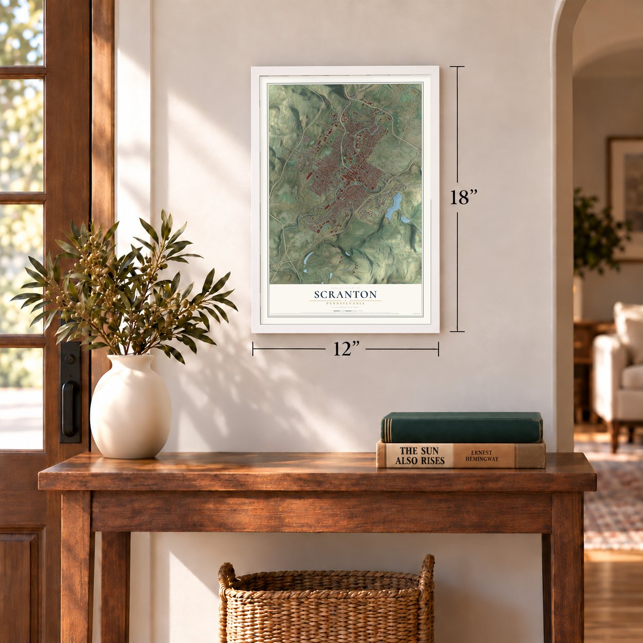
12" x 18" Archival Matte Print
A Map of Home. A Work of Art.
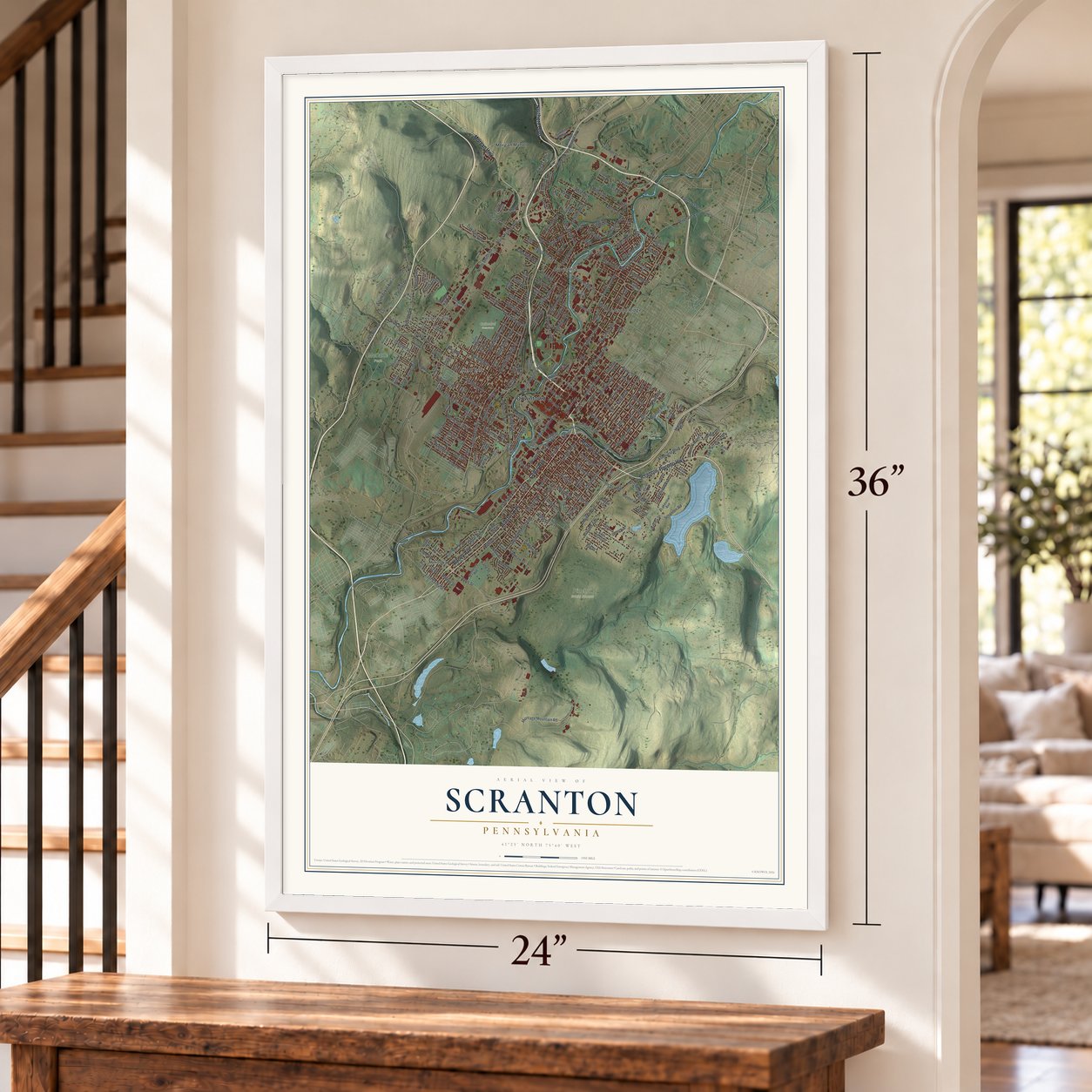
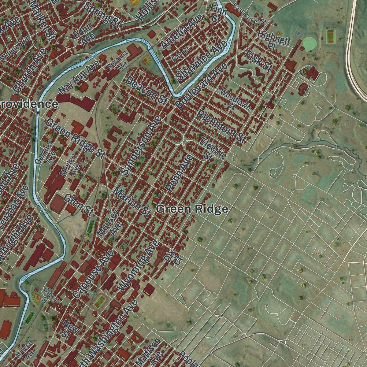
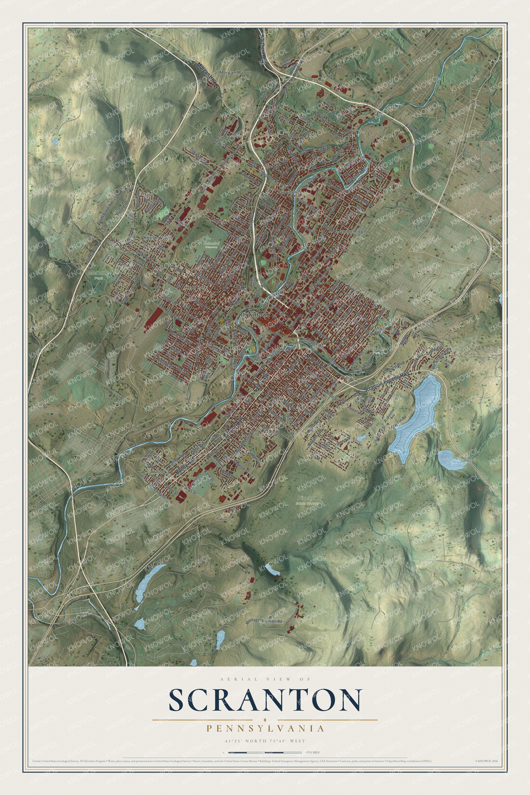
Explore Scranton, Pennsylvania from a whole new perspective. Created using aerial imagery and detailed geographic data, this map captures Scranton building by building, with labeled streets, familiar landmarks, and shaded topographical relief that highlights the natural contours of the landscape.
Combining modern data with the timeless character of a vintage atlas, this map is just as interesting up close as it is beautiful on the wall. Whether you grew up in Scranton, spent memorable years there, or call it home today, this unique map is a great way to celebrate a place that means something to you. Zoom in on the preview to look for your street, and then order a print to put your memories on the wall.
Three ways to hang it
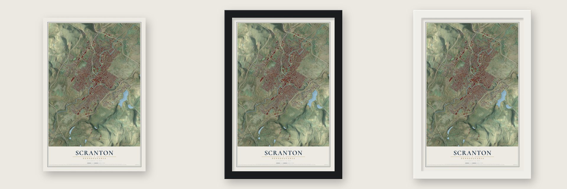
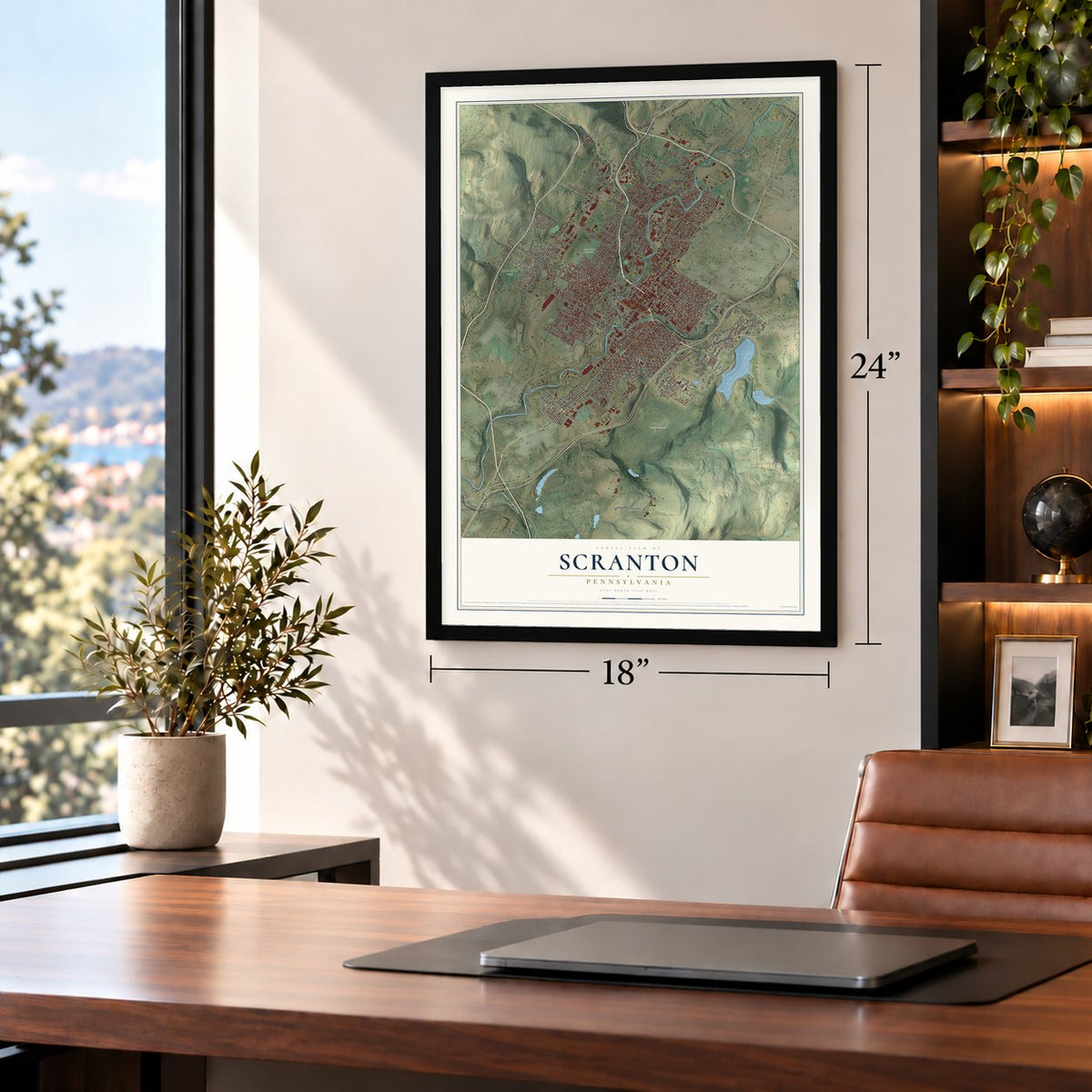
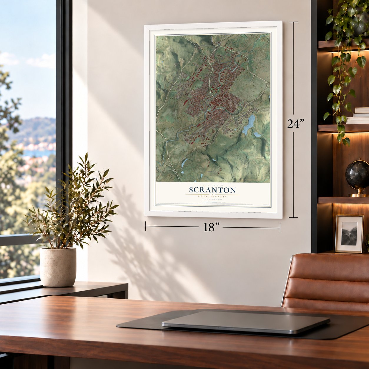
Unframed archival matte, a black wood frame or a white wood frame.
Up close
Geography Worth Displaying
This map was created using accurate cartographic data and authoritative geographic sources, including the U.S. Geological Survey and the Census Bureau. The map brings together terrain, waterways, roads, and building detail. The majority of the streets are labeled, houses are accurately depicted, and the topography is derived from government sources. Combining local data with carefully composed color and shading leads to this beautifully detailed Scranton artwork for your wall.
Rather than simply showing street outlines, we’ve included as many of the street names as we could reasonably fit on the map while keeping their names legible. Zoom in on the high resolution preview to see exactly what’s on the map. We truly set out to create a statement piece for anyone who loves Scranton. So whether it’s for you, or a gift for someone you love, we hope this map of Scranton brings back fond memories.
Read the story behind this map of Scranton, Pennsylvania from 2026.

Find your street
Names on the Scranton map
Every name below is printed on this map. Look for your street, your school, the park where you played, or the pond down the road.
Places and landmarks11
- Downtown
- Cathedral Cemetery
- McDade Park
- Nay Aug Park
- Pinchot State Forest
- Green Ridge
- Hyde Park
- Keyser Valley
- Minooka
- Morgan Manor
- Providence
Streets and roads280
- Pittston Avenue
- Moosic Street
- Morgan Highway
- Cedar Avenue
- Northern Boulevard
- Scranton-Pocono Highway
- Birney Avenue
- Vine Street
- Davis Street
- Mulberry Street
- Jefferson Avenue
- Ash Street
- South Main Avenue
- North Main Avenue
- Olive Street
- Brook Street
- North Keyser Avenue
- Montage Mountain Road
- Newton Road
- Elmhurst Boulevard
- Stafford Avenue
- Capouse Avenue
- Jackson Street
- North Seventh Avenue
- Fellows Street
- Monroe Avenue
- Clay Avenue
- Penn Avenue
- Cherry Street
- Hickory Street
Show all 280 streets
- North Washington Avenue
- Hamm Court
- South Webster Avenue
- Kirst Court
- Luzerne Street
- Prospect Avenue
- Wyoming Avenue
- East Elm Street
- North Sumner Avenue
- Birch Street
- Donnelly Court
- Adams Avenue
- Herz Court
- Price Street
- Ferdinand Street
- South Washington Avenue
- West Market Street
- Lafayette Street
- Boulevard Avenue
- North Rebecca Avenue
- Myrtle Street
- Washburn Street
- Division Street
- Sanderson Avenue
- North South Road
- Linden Street
- Pine Street
- River Street
- Oak Street
- Beech Street
- Scranton Road
- East Mountain Road
- Green Ridge Street
- Palm Street
- Providence Road
- Wheeler Avenue
- West Locust Street
- East Gibson Street
- Olyphant Avenue
- Maple Street
- Prescott Avenue
- Marion Street
- Fig Street
- Kane Street
- Meridian Avenue
- Rockwell Avenue
- North Hyde Park Avenue
- Albright Avenue
- Schimpf Court
- Court Street
- Euclid Avenue
- Clearview Street
- Eynon Street
- Brick Avenue
- Orchard Street
- Preston Place
- West Gibson Street
- Forest Glen Drive
- Kellum Court
- Moir Court
- Parallel Drive
- Parrott Avenue
- Saginaw Street
- Farr Street
- Theodore Street
- Dorothy Street
- Colliery Avenue
- Frink Street
- Moltke Avenue
- South Keyser Avenue
- Gibbons Street
- Smith Place
- Seymour Avenue
- Philo Street
- Wood Street
- Pike Street
- Watson Street
- Albert Place
- Mary Street
- Church Avenue
- Bergen Court
- Oakwood Drive
- Diamond Avenue
- Arthur Avenue
- Pancoast Street
- Ridge Row
- Mechanic Street
- Hollister Avenue
- Amelia Avenue
- Lucky Run Road
- Wilbur Street
- Saint Ann Street
- Reese Street
- Nav Aug Road
- Tenth Avenue
- Log Road
- Wales Street
- Railroad Avenue
- Blucher Avenue
- East Corey Street
- South Sekol Avenue
- Lake Scranton Road
- Third Avenue
- Richmont Street
- Spring Street
- Lilac Lane
- Pen-Y-Bryn Drive
- Wells Street
- Bloom Avenue
- Shawnee Avenue
- Richter Avenue
- Deacon Street
- Bulwer Street
- Glen Street
- Paul Avenue
- Debbie Drive
- Warner Street
- Christ Court
- Fisk Street
- Park Drive
- Front Street
- Mifflin Avenue
- Fairview Avenue
- Lavelle Court
- Crown Avenue
- Willow Street
- East Locust Street
- Madison Avenue
- Boland Court
- Farber Court
- Meadow Avenue
- Electric Street
- Nay Aug Avenue
- Monsey Avenue
- West Elm Street
- Summit Pointe
- Poplar Street
- South Sixth Avenue
- North Everett Avenue
- Spruce Street
- Hand Place
- Twelfth Avenue
- West Parker Street
- West Linden Street
- Crane Street
- Edwards Court
- Matthew Avenue
- Waldorf Lane
- Whitetail Drive
- Dix Court
- Powderly Court
- Herbert Street
- Terrace Lane
- Clover Street
- Cemetery Avenue
- Wolf Court
- Briggs Street
- Snook Street
- Acker Avenue
- James Avenue
- Beddoe Court
- Tripp Place
- New Street
- Viewmont Drive
- Lenahan Avenue
- Dalton Street
- Stewart Court
- Mount Vernon Avenue
- Lakeview Drive
- Hollow Avenue
- Ballau Avenue
- Lakeview Avenue
- Hudson Flume
- Derby Avenue
- Oak Avenue
- Mattes Avenue
- Knox Road
- High Place
- Roanoke Lane
- Simplex Drive
- Jones Street
- Edna Avenue
- Highnett Place
- Brick Court
- Moffit Drive
- Lemon Street
- Frank Street
- Line Street
- Dale Drive
- Kozy Drive
- Finn Street
- Lone Road
- Emily Avenue
- Alder Street
- Harrison Avenue
- Taylor Avenue
- McKenna Court
- Max Court
- Woodlawn Street
- Wayne Avenue
- Putnam Street
- Greenbush Street
- Meylert Avenue
- Amherst Street
- Oram Street
- Duncan Street
- Woods Place
- Florida Avenue
- Conroy Street
- Emmett Street
- Gardner Avenue
- Mount Pleasant Drive
- 15th Avenue
- Fay Court
- 20th Avenue
- Morris Avenue
- Park Edge Lane
- Aspen Drive
- Hiller Avenue
- Luke Avenue
- Scranton Carbondale Highway
- West Mountain Road
- Sadler Avenue
- Rosen Court
- Roberts Court
- Forest Court
- Ridgeview Drive
- East Parker Street
- Green Street
- Bogart Place
- South Sherman Avenue
- Snyder Avenue
- Healy Place
- Rollin Avenue
- Loop Avenue
- Throop Street
- Horatio Avenue
- Phinney Street
- Roselynn Street
- Marvine Avenue
- Mohawk Street
- South Dewey Avenue
- South Fifth Avenue
- Rosanna Avenue
- South Grant Avenue
- Gardier Road
- Pattison Avenue
- Mineral Avenue
- Fring Street
- Engle Court
Names are listed as they appear on the printed map. Zoom into the product photos to find them.
About Scranton, Pennsylvania
Scranton is a city of 76,328 people and the county seat of Lackawanna County, in the Lackawanna River valley. Isaac Tripp, the first white settler on record, built his house here in 1771. After the Revolution more families came from Connecticut, whose colonial charter claimed this land, and they set up mills and small shops in a village called Slocum Hollow.
In the 1840s the brothers Selden T. and George W. Scranton started an ironworks that grew into Lackawanna Iron & Coal. Their first product, nails, failed because the iron was poor. They switched to T-rails for the Erie Railroad, which had been buying its rails from England. In 1851 they built a line north to meet the Erie at Great Bend, with Irish immigrants doing most of the work. Scranton became a borough in 1856 and a city of 35,000 in 1866, when Hyde Park and Providence joined it.
“Scranton Borough was incorporated in 1856, and is situated in what was known as Slocum Hollow, or Capouse. This name was pronounced, by the old inhabitants, Capoios.”
- The Electric City since 1886In 1886 Scranton opened the first electric trolley system in the nation that worked and kept running, and that gave the city its nickname. The separate streetcar companies merged in 1896 into the Scranton Railway Company, which kept the trolleys going until 1954.
- The general strike of 1877After the Panic of 1873, the railroads cut wages, and in August 1877 railroad men in Scranton walked off the job, with miners and steelworkers close behind. A protest of 5,000 strikers turned violent: four men died and 20 to 50 were hurt, the mayor among them. Governor John Hartranft brought in federal troops, and the workers won nothing in pay. The next year voters made Terence V. Powderly of the Knights of Labor their mayor.
- John Mitchell and the 1902 strikeJohn Mitchell led the United Mine Workers in the anthracite coal strike of 1902, and President Theodore Roosevelt helped broker the compromise that ended it. The talks took place at the Lackawanna County Courthouse, where a statue of Mitchell now stands. The courthouse and statue joined the National Register in 1997, and Mitchell is buried in Cathedral Cemetery.
- Isaac Tripp's house, 1771The home Isaac Tripp built still stands in North Scranton, once the separate town of Providence. As the Tripp Family Homestead, it joined the National Register in 1972.
- 143,433 people in 1930The 1900 census counted 102,026 people, which made Scranton the third-largest city in Pennsylvania. Its population peaked at 143,433 in 1930, during the coal and steel era.
Keep exploring Pennsylvania
Scranton is one of 3,725 Pennsylvania towns we've mapped. Every dot on the map is a print of its own.
The search covers every state, Pennsylvania first.
Near Scranton
Order 2 or more town maps and save 10%. Shown in the size and finish you picked above, so they hang as a set.
- Taylor 12" x 18" / Archival Matte Print $39.99
- Dunmore 12" x 18" / Archival Matte Print $39.99
- Moosic 12" x 18" / Archival Matte Print $39.99
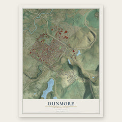
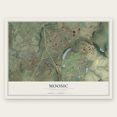
More maps nearby: Throop, Old Forge, Dickson City, Roaring Brook and Ransom.
The art of mapping a place
How This Map Was Made
Real places. Remarkable detail. Discover the layers that turn geographic data into a map of home.

The view from above
Aerial imagery reveals the character of the land: woodland, open fields, and the patterns of a place.

The shape of the land
Elevation data brings hills, valleys, and subtle changes in the landscape into view.

The details of home
Roads, waterways, and building footprints come together to make the map feel unmistakably local.

Geography becomes art
Considered color, shading, and typography bring the layers together in a map made for your wall.


Process illustrated with Mendon, Massachusetts. Aerial imagery: USDA NAIP. Terrain: USGS 3D Elevation Program. Map details and finished artwork: KNOWOL.
The Details
About This Print
Choose an archival matte print, or a black or white Ayous wood frame. The archival matte print is unframed.
Select your size and finish above to see the matching product image and price.
Materials & Craftsmanship
A contemporary map with the character of a classic atlas, printed on archival matte paper. Optional frames are made from Ayous wood.
Your printed map does not include the watermark shown in the full-map preview.
Shipping & Delivery
Free shipping within the United States. Every print is made to order in the USA.
Buying a gift? Add a note in your cart and we'll include it. We never put prices in the package.
Prints ship within 2 to 3 business days. Allow 7 to 10 days total from ordering for delivery. Timing may vary during holidays or periods of high order volume.
Read our shipping policy.
Returns and damaged prints
Each print is made to order. Change-of-mind refunds are not available after production.
If your print arrives damaged, misprinted or incorrect, contact support@knowol.com within 30 days of receiving it. Include your order number, photos and a description of the issue.
Read our full refund and replacement policy. For questions about your order, email support@knowol.com.