
Search for another town





Free U.S. delivery 7 to 10 days after you order
Shaker Heights, Ohio Map Art
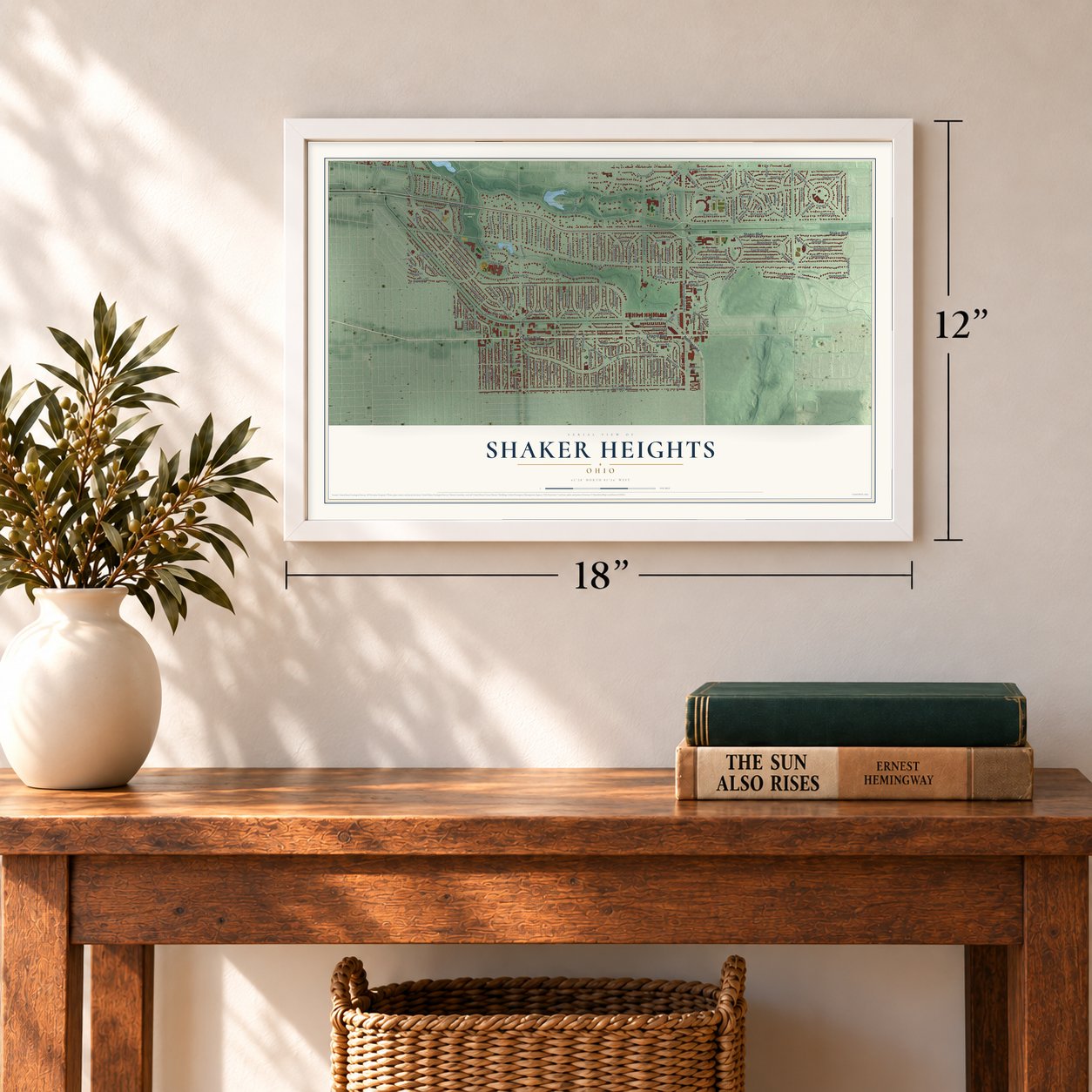
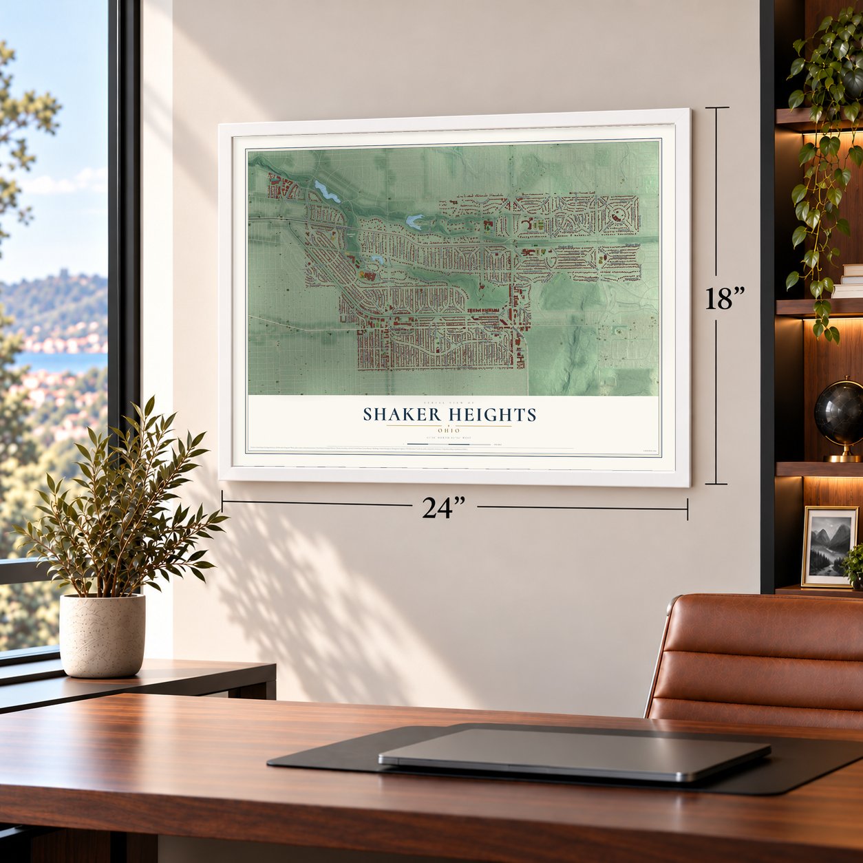
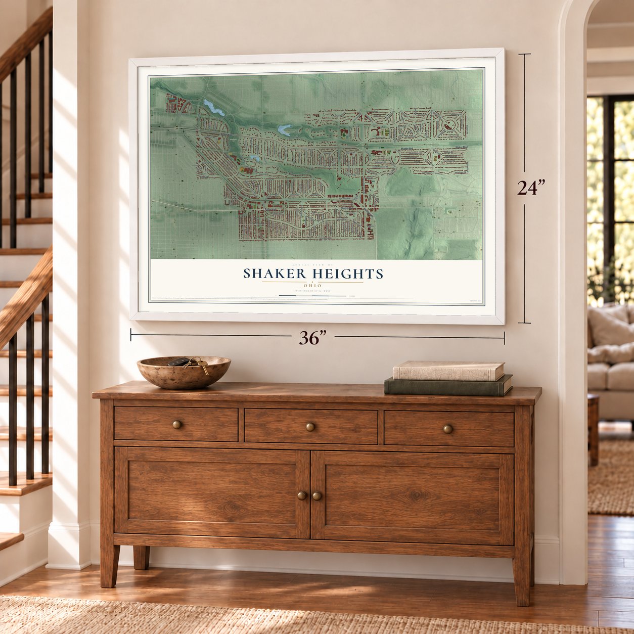
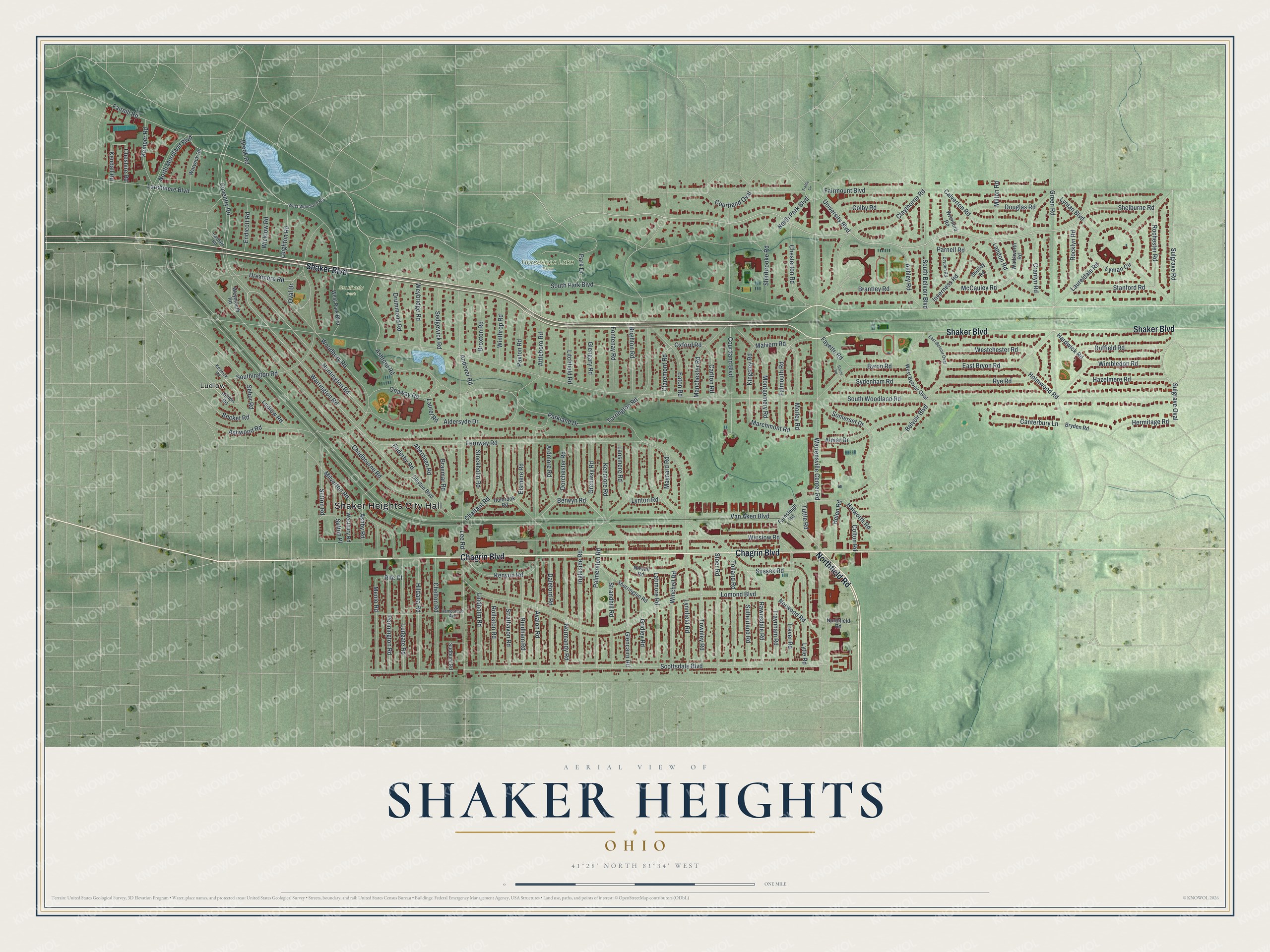
A new map of Shaker Heights, Ohio, made in 2026 and printed to order on thick archival matte paper.
12" x 18" Archival Matte Print
A Map of Home. A Work of Art.
If you grew up in Shaker Heights, raised kids here, or still have family off Shaker Boulevard, this map has a lot for you to find. It's a modern aerial view of Shaker Heights in Cuyahoga County, Ohio, drawn from modern data and given a vintage look. Zoom in on the preview and look for your block.
Three ways to hang it
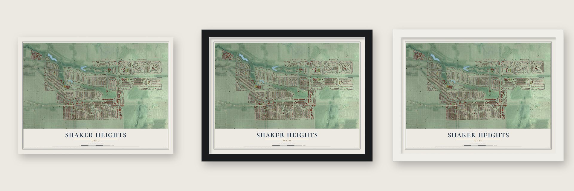
Unframed archival matte, a black wood frame or a white wood frame.
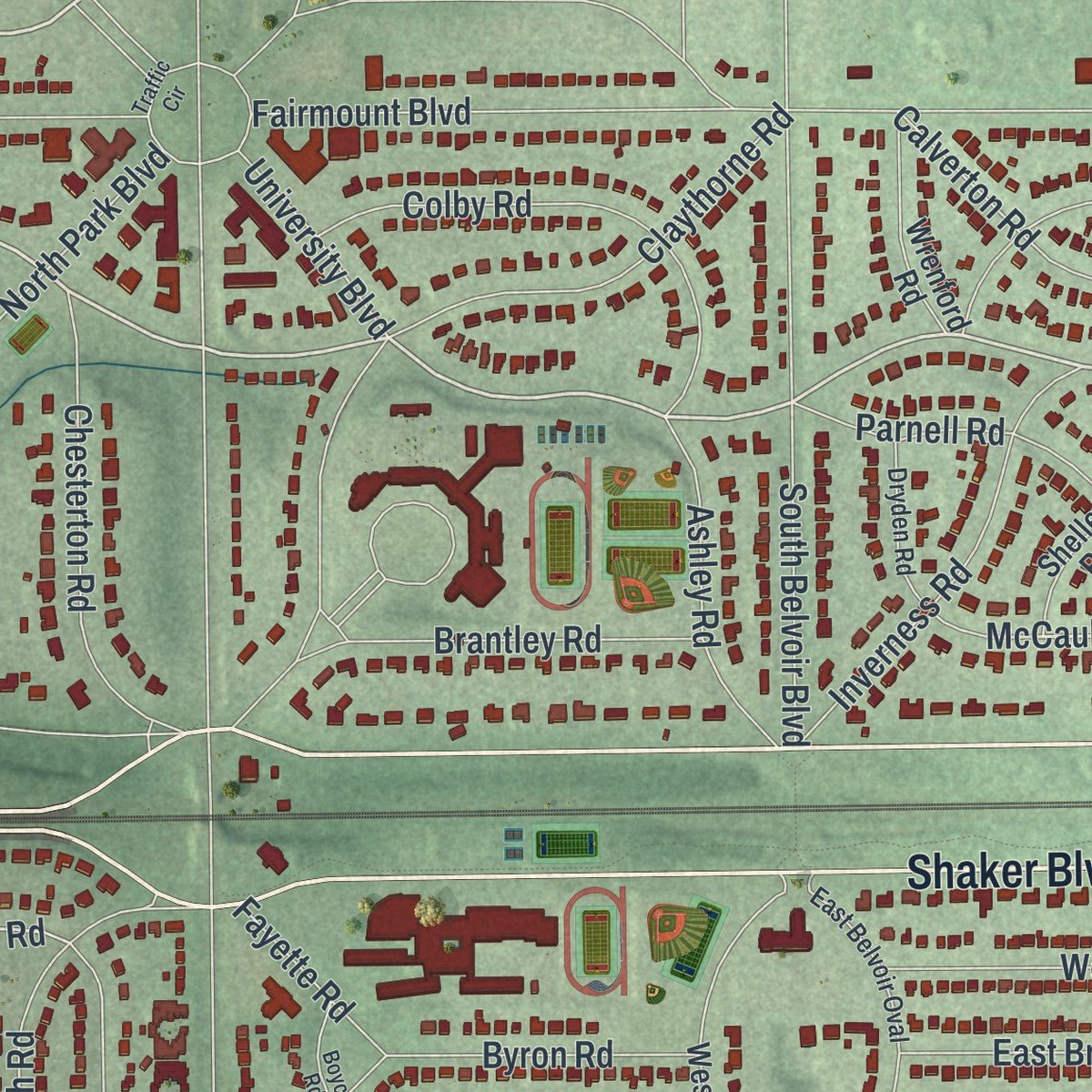
Up close
Real geography. Art worth displaying.
This map was created using accurate cartographic data and authoritative geographic sources, including the U.S. Geological Survey and the Census Bureau. The map brings together terrain, waterways, roads, and building detail. The majority of the streets are labeled, houses are accurately depicted, and the topography is derived from government sources. Combining local data with carefully composed color and shading leads to this beautifully detailed Shaker Heights artwork for your wall.
Rather than simply showing street outlines, we’ve included as many of the street names as we could reasonably fit on the map while keeping their names legible. Zoom in on the high resolution preview to see exactly what’s on the map. We truly set out to create a statement piece for anyone who loves Shaker Heights. So whether it’s for you, or a gift for someone you love, we hope this map of Shaker Heights brings back fond memories.
Read the story behind this map of Shaker Heights, Ohio from 2026.

About Shaker Heights, Ohio
Shaker Heights is a city in Cuyahoga County at Cleveland's eastern edge. Its history joins the North Union Shaker settlement, established in 1822, with the planned suburb developed by the Van Sweringen brothers after their 1905 land purchase. The community had 29,439 residents at the 2020 census, and approximately three quarters of the city is listed as the Shaker Village Historic District.
- Horseshoe LakeIn 1852, the Shakers dammed Doan Brook to form Horseshoe Lake, while the brook supplied power to a nearby woolen mill.
- Freeway Plans DefeatedLocal organizations opposed a proposed highway through the parklands, and Governor James Rhodes abandoned the plans in 1970.
- Nine NeighborhoodsShaker Heights has nine neighborhoods, each named for one of the community's original elementary schools.
- Rail Along BoulevardsThe Blue Line follows Van Aken Boulevard, while the Green Line follows Shaker Boulevard, and both provide direct service to Cleveland.
Find your street
Names on the Shaker Heights map
Every name below is printed on this map. Look for your street, your school, the park where you played, or the pond down the road.
Places and landmarks4
- Shaker Heights City Hall
- Horseshoe Lake Park
- Southerly Park
- Ludlow
Streets and roads188
- Northfield Road
- Shaker Boulevard
- Chagrin Boulevard
- South Park Boulevard
- Shelburne Road
- Rochester Road
- Stanford Road
- Warrington Road
- Oxford Road
- Huntington Road
- Kingsley Road
- McCauley Road
- Sussex Road
- Sulgrave Road
- Becket Road
- Malvern Road
- Van Aken Boulevard
- South Woodland Road
- Warrensville Center Road
- Fairmount Boulevard
- Scottsdale Boulevard
- Lee Road
- Lomond Boulevard
- Parkland Drive
- Coventry Road
- Chadbourne Road
- Winslow Road
- Fernway Road
- Norwood Road
- Southington Road
Show all 188 streets
- Eaton Road
- Courtland Boulevard
- Avalon Road
- Daleford Road
- Glencairn Road
- Green Road
- Ingleside Road
- Onaway Road
- North Park Boulevard
- Aldersyde Drive
- Larchmere Boulevard
- Woodbury Road
- Claythorne Road
- Attleboro Road
- Lyman Circle
- Lynnfield Road
- Fairhill Road
- Milverton Road
- Palmerston Road
- South Belvoir Boulevard
- North Moreland Boulevard
- Menlo Road
- East Bryon Road
- Lyman Boulevard
- Laureldale Road
- Falmouth Road
- Wimbledon Road
- Torrington Road
- Montgomery Road
- Sutton Place
- Chelton Road
- Ludgate Road
- Stoer Road
- Hildana Road
- Normandy Road
- Ludlow Road
- Cranlyn Road
- Townley Road
- Tolland Road
- Almar Drive
- Ashley Road
- Byron Road
- Lytle Road
- Calverton Road
- Winchell Road
- Landon Road
- Drexmore Road
- Gridley Road
- Sutherland Road
- Latimore Road
- Riedham Road
- Brantley Road
- Strathavon Road
- Pennington Road
- Chesterton Road
- Rye Road
- Douglas Road
- Duffield Road
- Inverness Road
- Parnell Road
- Ashby Road
- Strandhill Road
- Westchester Road
- Hazelmere Road
- Rocklyn Road
- Manchester Road
- Chalfant Road
- Morley Road
- Dorchester Road
- Kenyon Road
- Traver Road
- Rawnsdale Road
- Lindholm Road
- Kenmore Road
- Sydenham Road
- Sutton Road
- Canterbury Lane
- Rolliston Road
- Somerset Drive
- Kemper Road
- Traynham Road
- Brighton Road
- Winthrop Road
- Colby Road
- Broxton Road
- Braemar Road
- Fontenay Road
- Sherbrooke Road
- Drummond Road
- Weybridge Road
- Sedgewick Road
- Glengary Road
- Grenway Road
- Elsmere Road
- Ardmore Road
- Marchmont Road
- Stockholm Road
- Sulgrave Oval
- Lansmere Road
- Paxton Road
- Milton Road
- Hermitage Road
- Ashford Road
- Litchfield Road
- Endicott Road
- Wicklow Road
- Carlton Road
- University Boulevard
- Leighton Road
- Courtland Oval
- Helen Road
- Claremont Road
- Aberdeen Road
- Holmwood Road
- Hardwick Road
- Laurel Road
- Ashwood Road
- Maynard Road
- Park Drive
- Oval Drive
- Andover Road
- Halworth Road
- Fayette Road
- Belvoir Boulevard
- Cheshire Road
- Colton Road
- Enderby Road
- Kendall Road
- Lynton Road
- Tuttle Road
- Sebor Road
- Berwyn Road
- Rife Court
- Brook Road
- Albion Road
- Holbrook Road
- West Park Boulevard
- Farnsleigh Road
- Clayton Boulevard
- West Belvoir Oval
- Sherrington Road
- Newell Road
- Warwick Road
- Westbury Road
- Wrenford Road
- Wadsworth Road
- Weymouth Road
- Shelley Road
- Sudbury Road
- Bryden Road
- West Woodland Road
- Keswick Road
- Hampstead Avenue
- East Belvoir Oval
- Dryden Road
- Haddam Road
- Traffic Circle
- Boyce Road
Names are listed as they appear on the printed map. Zoom into the product photos to find them.
The art of mapping a place
How This Map Was Made
Real places. Remarkable detail. Discover the layers that turn geographic data into a map of home.

The view from above
Aerial imagery reveals the character of the land: woodland, open fields, and the patterns of a place.

The shape of the land
Elevation data brings hills, valleys, and subtle changes in the landscape into view.

The details of home
Roads, waterways, and building footprints come together to make the map feel unmistakably local.

Geography becomes art
Considered color, shading, and typography bring the layers together in a map made for your wall.


Process illustrated with Mendon, Massachusetts. Aerial imagery: USDA NAIP. Terrain: USGS 3D Elevation Program. Map details and finished artwork: KNOWOL.
The Details
About This Print
Choose an archival matte print, or a black or white Ayous wood frame. The archival matte print is unframed.
Select your size and finish above to see the matching product image and price.
Materials & Craftsmanship
A contemporary map with the character of a classic atlas, printed on archival matte paper. Optional frames are made from Ayous wood.
Your printed map does not include the watermark shown in the full-map preview.
Shipping & Delivery
Free shipping within the United States. Every print is made to order in the USA.
Buying a gift? Add a note in your cart and we'll include it. We never put prices in the package.
Prints ship within 2 to 3 business days. Allow 7 to 10 days total from ordering for delivery. Timing may vary during holidays or periods of high order volume.
Read our shipping policy.
Returns and damaged prints
Each print is made to order. Change-of-mind refunds are not available after production.
If your print arrives damaged, misprinted or incorrect, contact support@knowol.com within 30 days of receiving it. Include your order number, photos and a description of the issue.
Read our full refund and replacement policy. For questions about your order, email support@knowol.com.
Find your town
Looking for another city?
Find a map of home in our Ohio collection.
Nearby
Maps of towns near Shaker Heights
Know someone from one of these towns? Their map makes a great gift.
 University Heights
, Ohio
From $39.99See the map
 Beachwood
, Ohio
From $39.99See the map
 Highland Hills
, Ohio
From $39.99See the map
More maps nearby: Cleveland Heights, Warrensville Heights, North Randall, South Euclid and Woodmere.