
Search for another town
Free U.S. delivery 7 to 10 days after you order
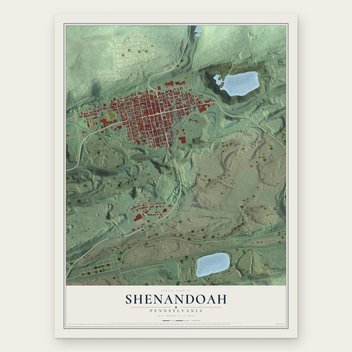
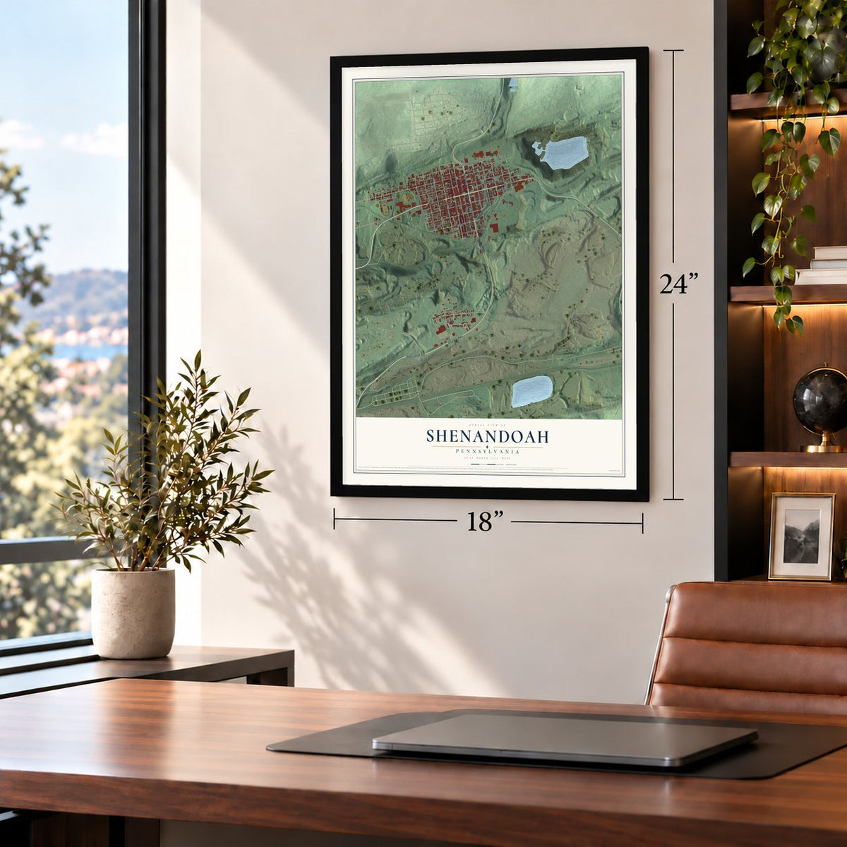
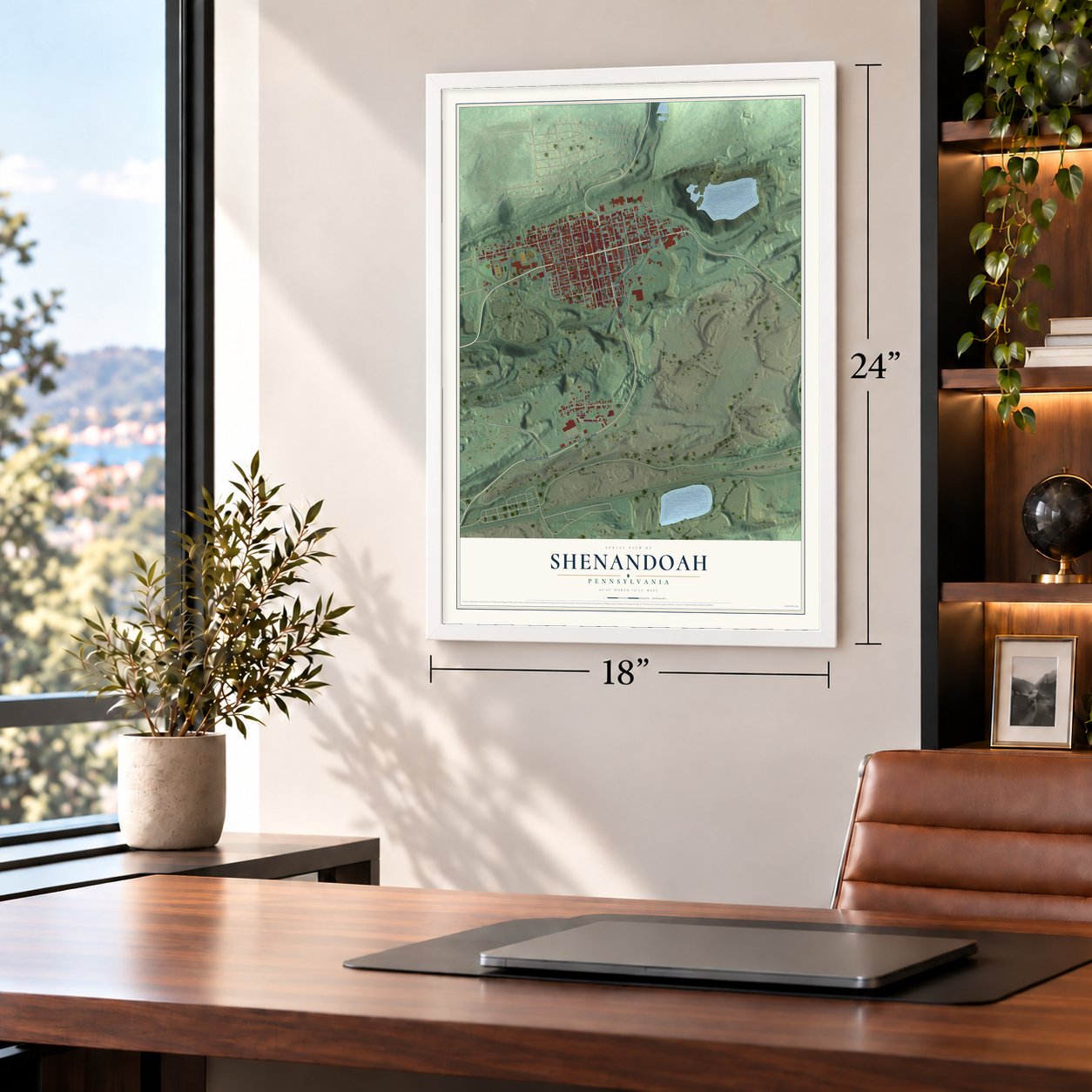
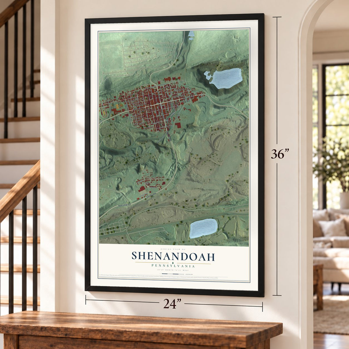
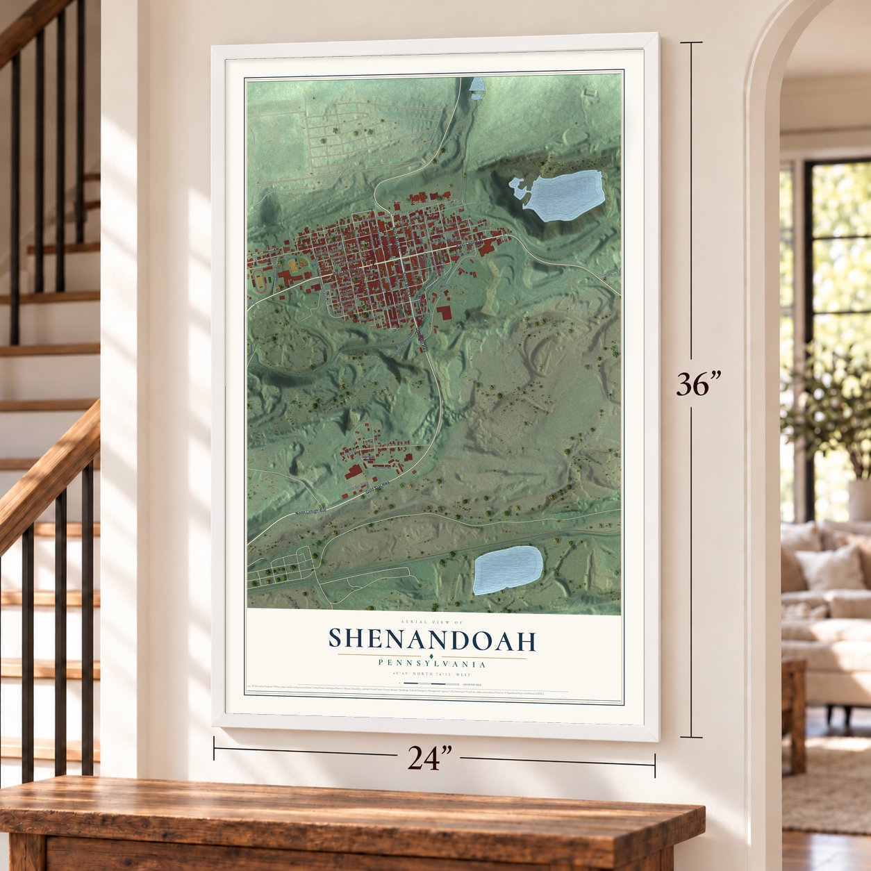
Shenandoah, Pennsylvania Map Art
Building by building, with labeled streets and shaded relief.
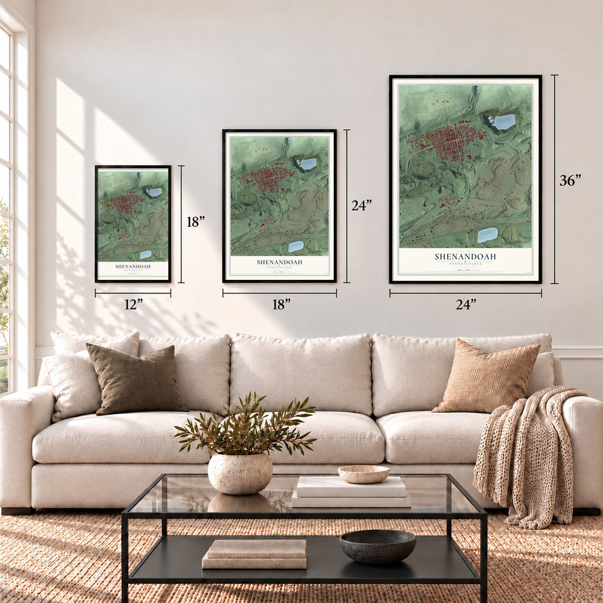
12" x 18" Archival Matte Print
A Map of Home. A Work of Art.
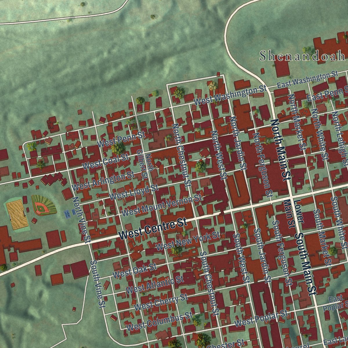
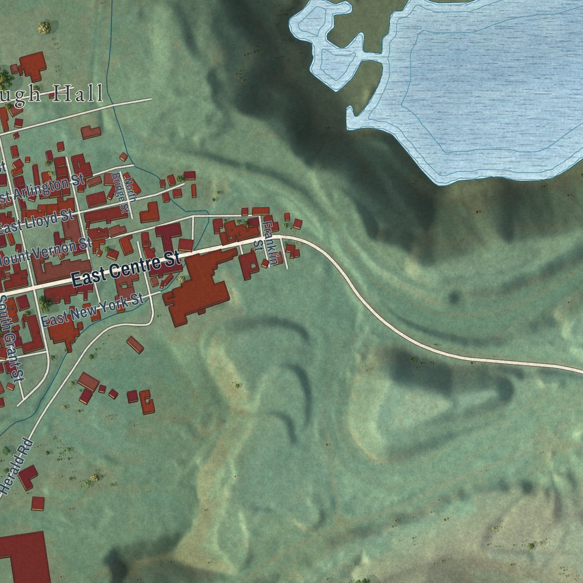
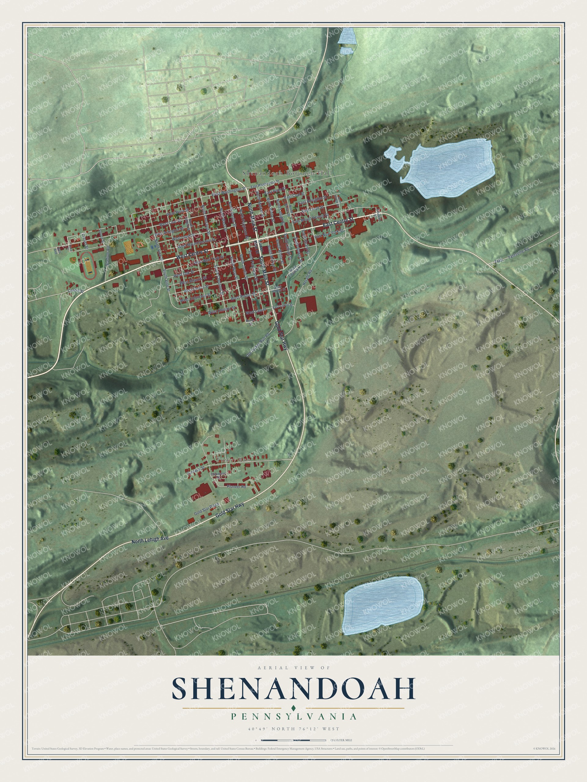
Explore Shenandoah, Pennsylvania from a whole new perspective. Created using aerial imagery and detailed geographic data, this map captures Shenandoah building by building, with labeled streets, familiar landmarks, and shaded topographical relief that highlights the natural contours of the landscape.
Combining modern data with the timeless character of a vintage atlas, this map is just as interesting up close as it is beautiful on the wall. Whether you grew up in Shenandoah, spent memorable years there, or call it home today, this unique map is a great way to celebrate a place that means something to you. Zoom in on the preview to look for your street, and then order a print to put your memories on the wall.
Three ways to hang it
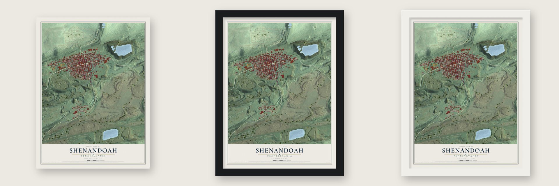
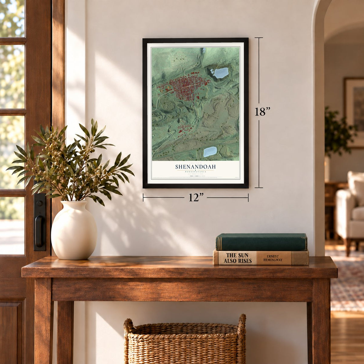
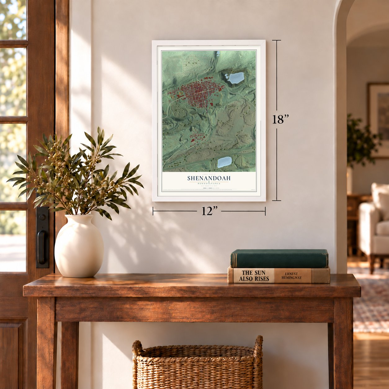
Unframed archival matte, a black wood frame or a white wood frame.
Up close
Geography Worth Displaying
This map was created using accurate cartographic data and authoritative geographic sources, including the U.S. Geological Survey and the Census Bureau. The map brings together terrain, waterways, roads, and building detail. The majority of the streets are labeled, houses are accurately depicted, and the topography is derived from government sources. Combining local data with carefully composed color and shading leads to this beautifully detailed Shenandoah artwork for your wall.
Rather than simply showing street outlines, we’ve included as many of the street names as we could reasonably fit on the map while keeping their names legible. Zoom in on the high resolution preview to see exactly what’s on the map. We truly set out to create a statement piece for anyone who loves Shenandoah. So whether it’s for you, or a gift for someone you love, we hope this map of Shenandoah brings back fond memories.
Read the story behind this map of Shenandoah, Pennsylvania from 2026.
Find your street
Names on the Shenandoah map
Every name below is printed on this map. Look for your street, your school, the park where you played, or the pond down the road.
Places and landmarks2
- Shenandoah Borough Hall
- Turkey Run
Streets and roads67
- West Centre Street
- East Centre Street
- North Main Street
- South Main Street
- Gold Star Highway
- North Lehigh Avenue
- North Jardin Street
- South Jardin Street
- North Chestnut Street
- South Lehigh Street
- West Poplar Street
- South West Street
- South Chestnut Street
- South White Street
- North Lehigh Street
- South Vine Street
- South Bower Street
- West Penn Street
- West Washington Street
- North Market Street
- West Coal Street
- West Cherry Street
- Herald Road
- Pioneer Road
- East Lloyd Street
- West Lloyd Street
- West Oak Street
- East Penn Street
- West Columbus Street
- East Mount Vernon Street
Show all 67 streets
- Furnace Street
- South Ferguson Street
- West Arlington Street
- West Atlantic Street
- West Mount Vernon Street
- West New York Street
- South Market Street
- East Coal Street
- North West Street
- North Ferguson Street
- North Vine Street
- North White Street
- Stadium Road
- Old Turkey Run Road
- Yatesville Road
- East Arlington Street
- West Chester Street
- Gold Star Plaza
- West Laurel
- East New York Street
- South Grant Street
- Centre Street
- Locust Street
- Lower Main Street
- Rock Street
- East Poplar Street
- South Emerick Street
- East Washington Street
- North Gilbert Street
- Cleveland Street
- North Bower Street
- East Laurel Street
- Spruce Street
- Franklin Street
- Bell Avenue
- Race Street
- North Bridge Street
Names are listed as they appear on the printed map. Zoom into the product photos to find them.
About Shenandoah, Pennsylvania
From the History of Schuylkill County: "Shenandoah has eight Protestant churches and seven of the Catholic faith, and only one of the latter denomination has an English-speaking congregation. The Protestants were the first to occupy the local field, the Welsh Congregational church being organized in 1866."
Keep exploring Pennsylvania
Shenandoah is one of 3,725 Pennsylvania towns we've mapped. Every dot on the map is a print of its own.
The search covers every state, Pennsylvania first.
Near Shenandoah
Order 2 or more town maps and save 10%. Shown in the size and finish you picked above, so they hang as a set.
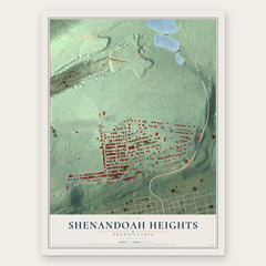
- Shenandoah Heights 12" x 18" / Archival Matte Print $39.99
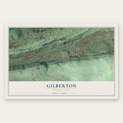
- Gilberton 12" x 18" / Archival Matte Print $39.99
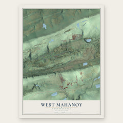
- West Mahanoy 12" x 18" / Archival Matte Print $39.99
More maps nearby: Altamont, Morea, Frackville, New Boston and Mahanoy.
The art of mapping a place
How This Map Was Made
Real places. Remarkable detail. Discover the layers that turn geographic data into a map of home.

The view from above
Aerial imagery reveals the character of the land: woodland, open fields, and the patterns of a place.

The shape of the land
Elevation data brings hills, valleys, and subtle changes in the landscape into view.

The details of home
Roads, waterways, and building footprints come together to make the map feel unmistakably local.

Geography becomes art
Considered color, shading, and typography bring the layers together in a map made for your wall.


Process illustrated with Mendon, Massachusetts. Aerial imagery: USDA NAIP. Terrain: USGS 3D Elevation Program. Map details and finished artwork: KNOWOL.
The Details
About This Print
Choose an archival matte print, or a black or white Ayous wood frame. The archival matte print is unframed.
Select your size and finish above to see the matching product image and price.
Materials & Craftsmanship
A contemporary map with the character of a classic atlas, printed on archival matte paper. Optional frames are made from Ayous wood.
Your printed map does not include the watermark shown in the full-map preview.
Shipping & Delivery
Free shipping within the United States. Every print is made to order in the USA.
Buying a gift? Add a note in your cart and we'll include it. We never put prices in the package.
Prints ship within 2 to 3 business days. Allow 7 to 10 days total from ordering for delivery. Timing may vary during holidays or periods of high order volume.
Read our shipping policy.
Returns and damaged prints
Each print is made to order. Change-of-mind refunds are not available after production.
If your print arrives damaged, misprinted or incorrect, contact support@knowol.com within 30 days of receiving it. Include your order number, photos and a description of the issue.
Read our full refund and replacement policy. For questions about your order, email support@knowol.com.