
Search for another town

Free U.S. delivery 7 to 10 days after you order
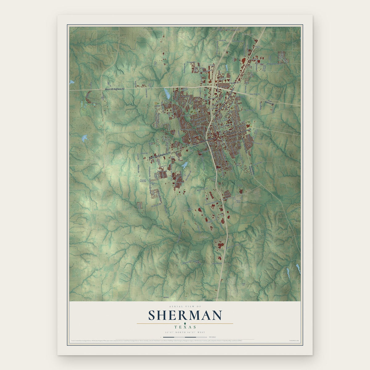
Sherman, Texas Map Art
Building by building, with labeled streets and shaded relief.
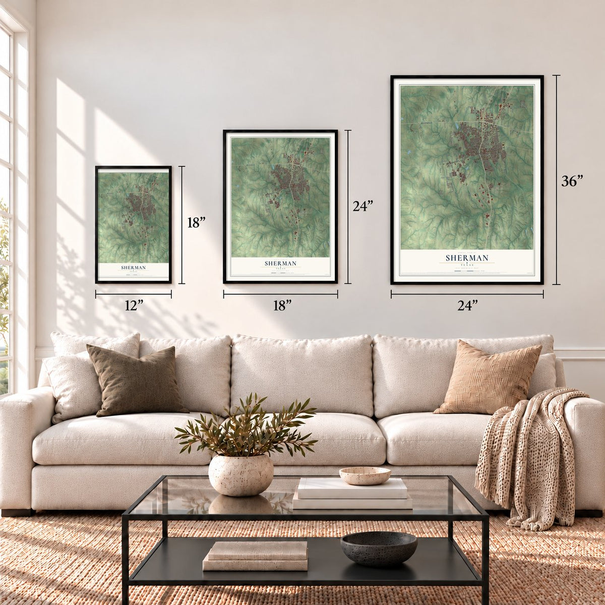
12" x 18" Archival Matte Print
A Map of Home. A Work of Art.
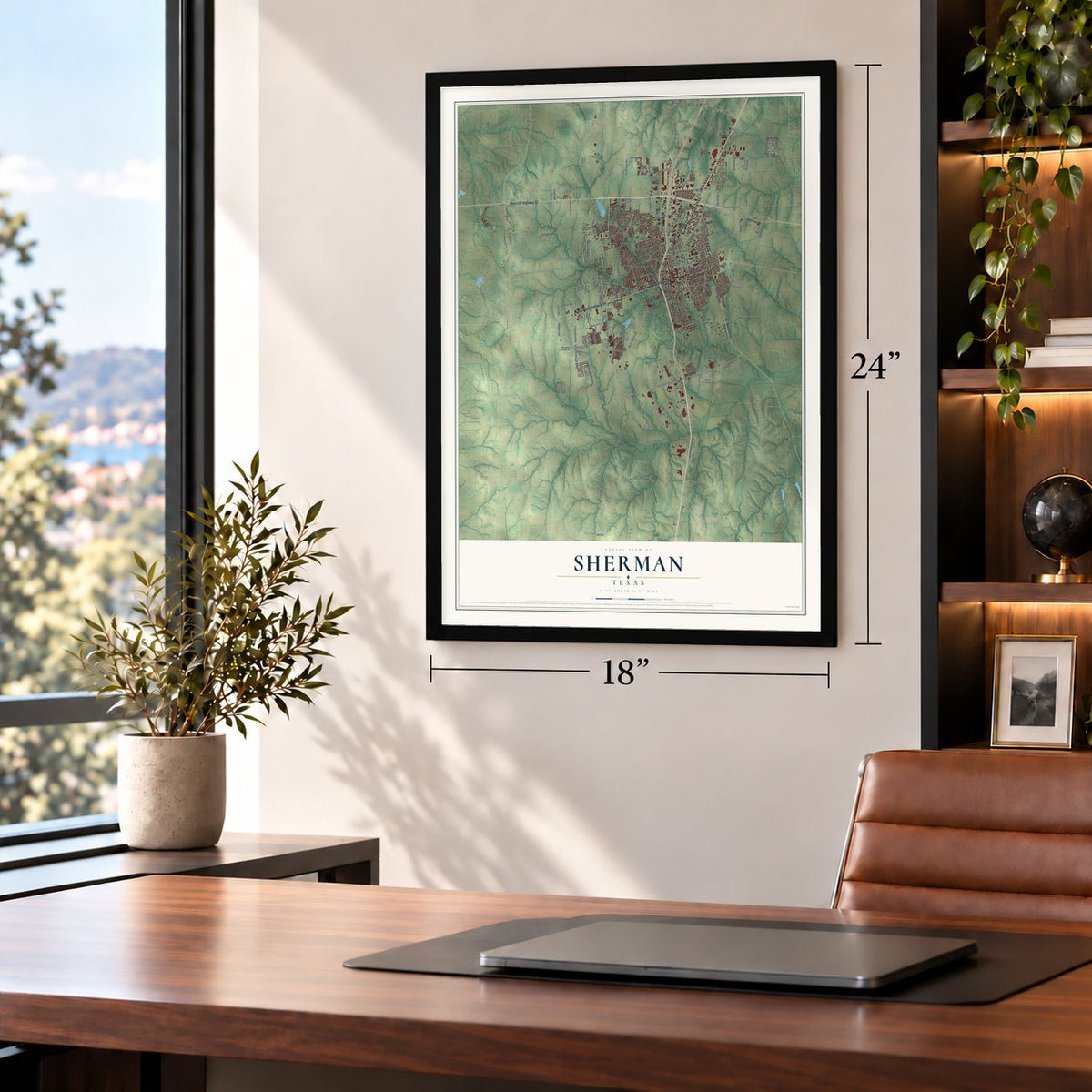
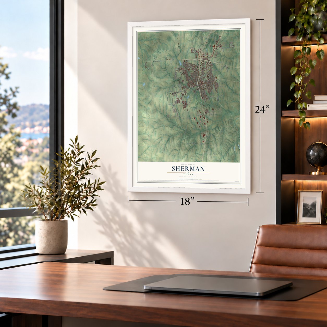
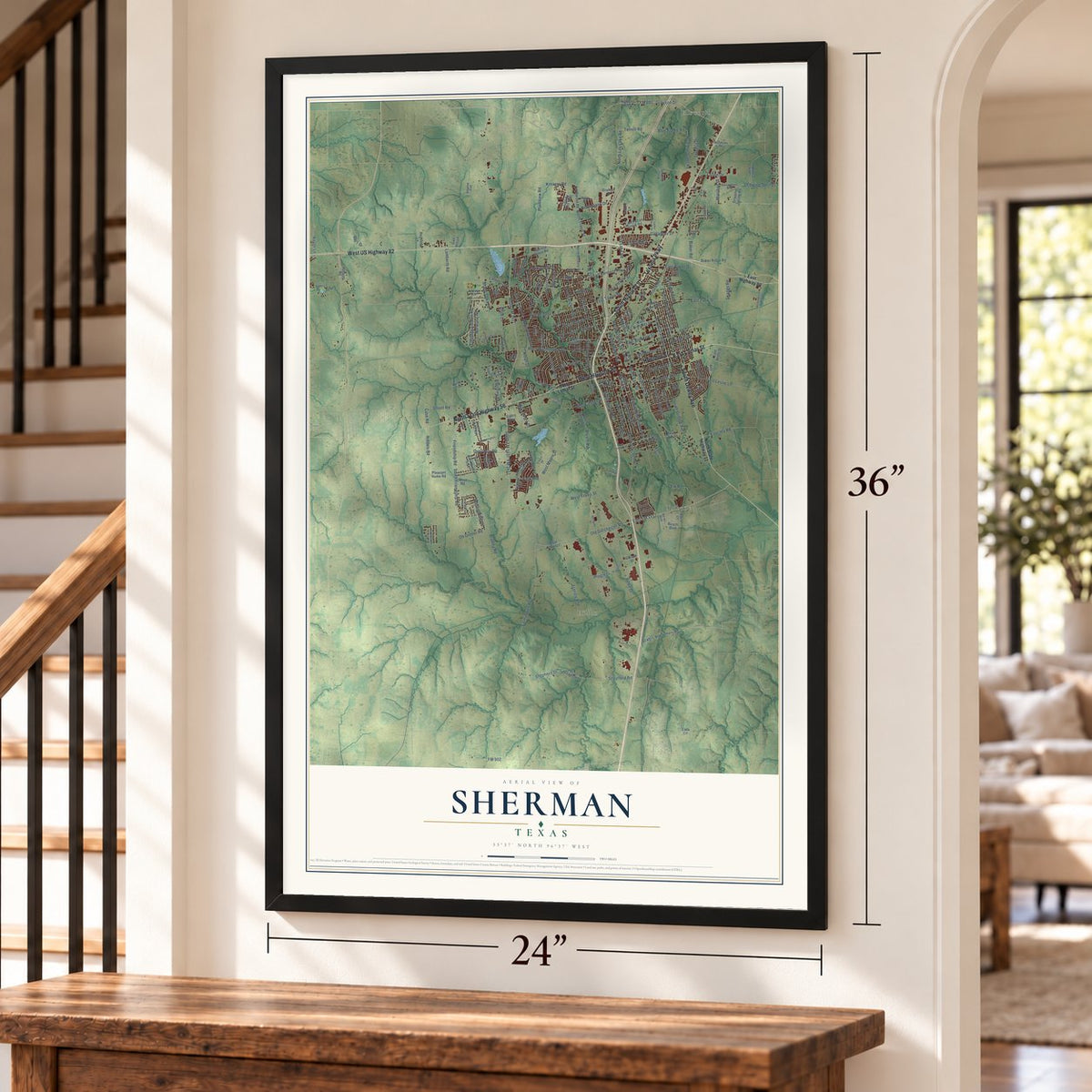
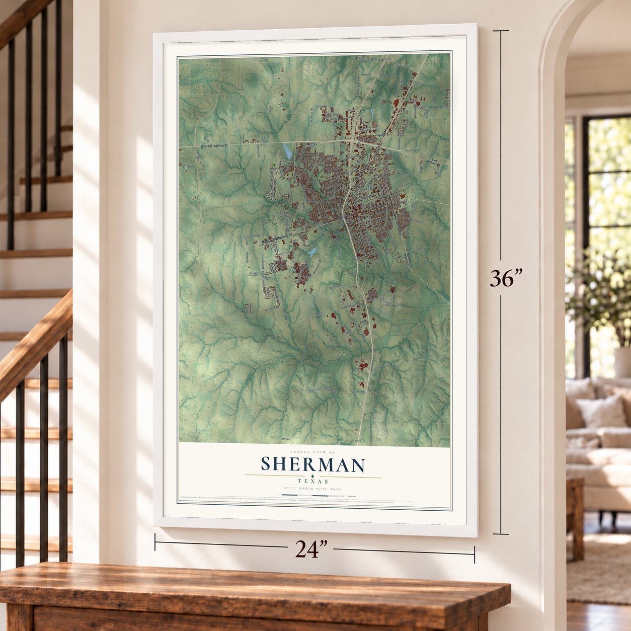
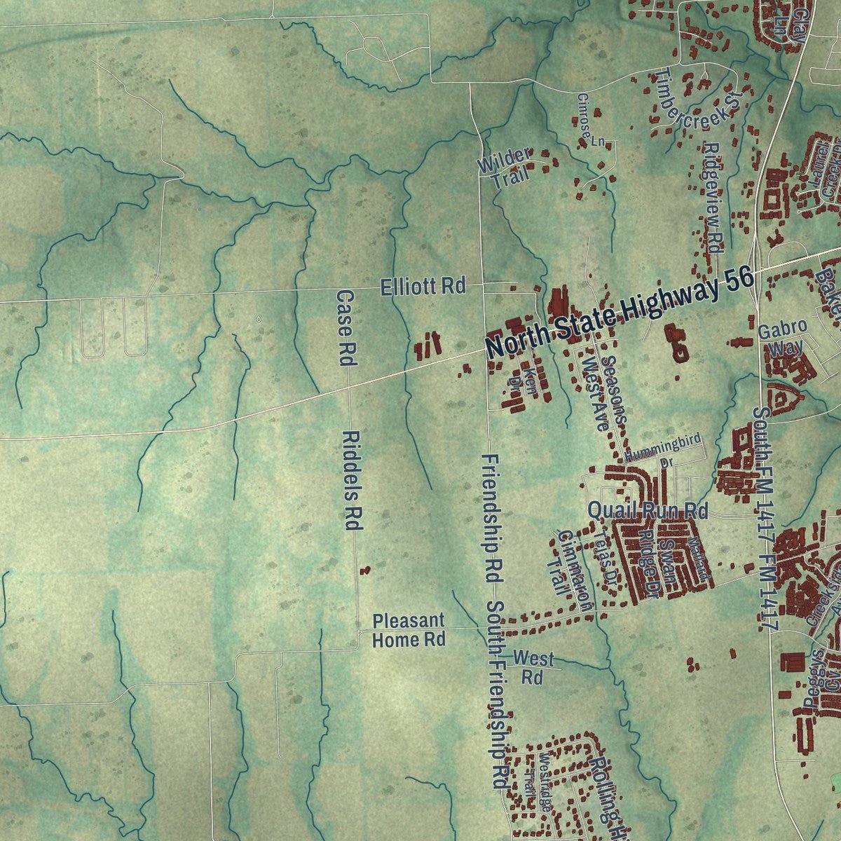
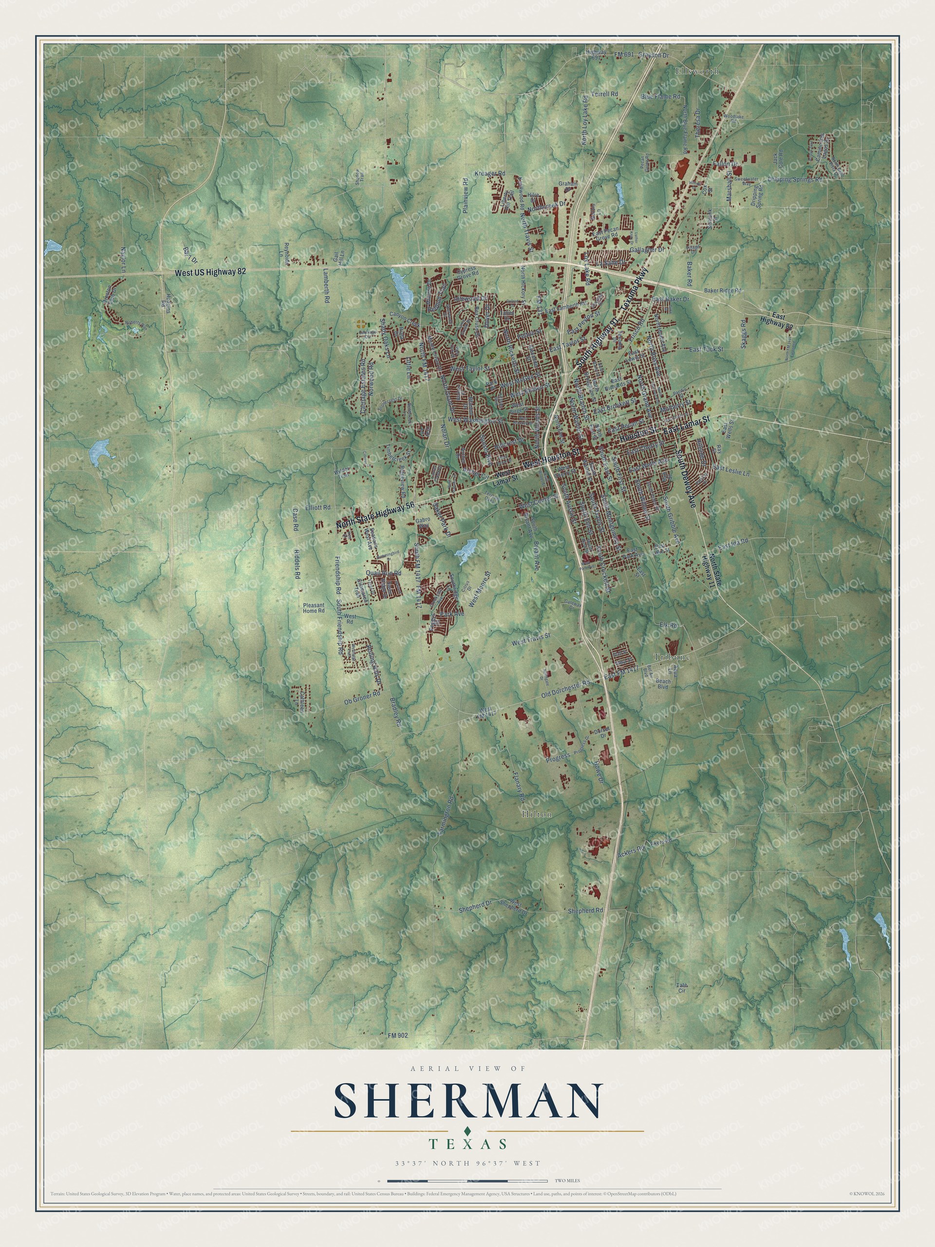
Explore Sherman, Texas from a whole new perspective. Created using aerial imagery and detailed geographic data, this map captures Sherman building by building, with labeled streets, familiar landmarks, and shaded topographical relief that highlights the natural contours of the landscape.
Combining modern data with the timeless character of a vintage atlas, this map is just as interesting up close as it is beautiful on the wall. Whether you grew up in Sherman, spent memorable years there, or call it home today, this unique map is a great way to celebrate a place that means something to you. Zoom in on the preview to look for your street, and then order a print to put your memories on the wall.
Three ways to hang it
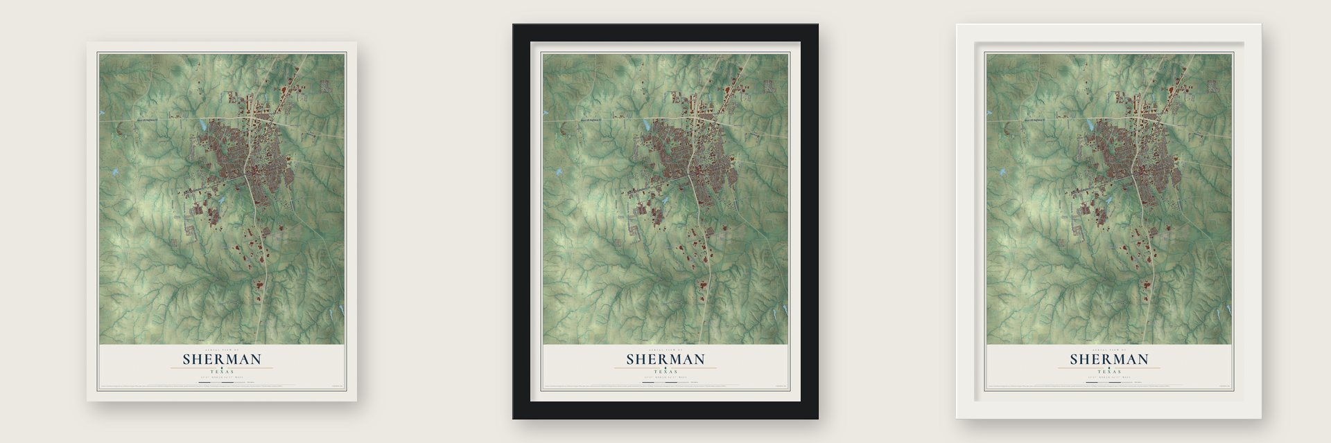
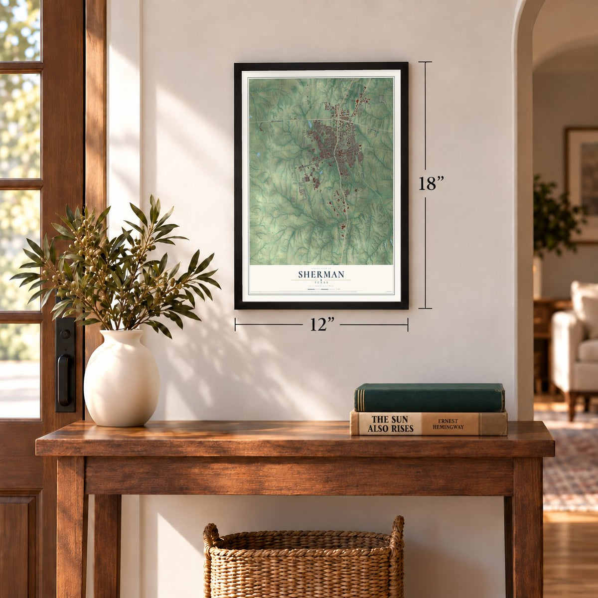
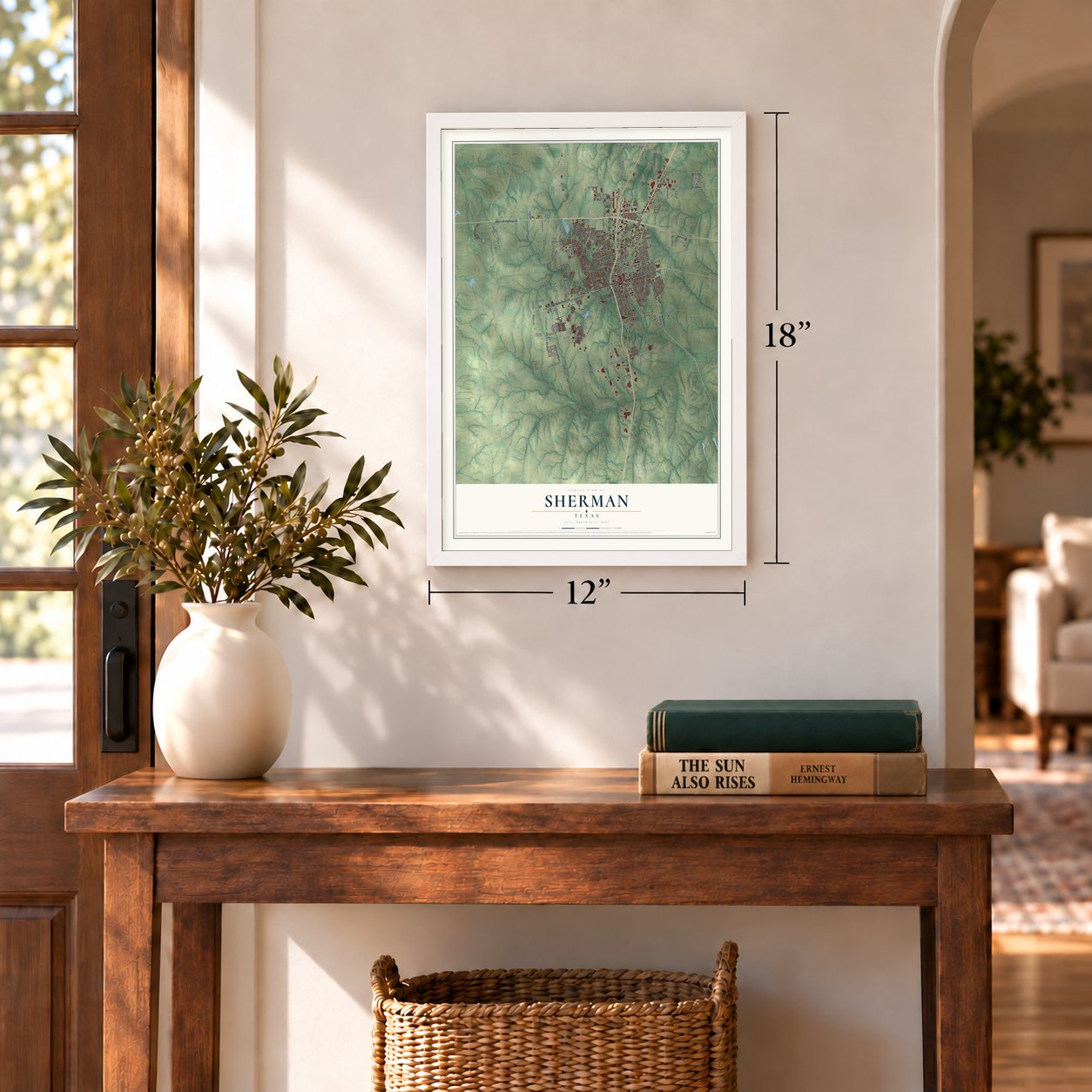
Unframed archival matte, a black wood frame or a white wood frame.
Up close
Geography Worth Displaying
This map was created using accurate cartographic data and authoritative geographic sources, including the U.S. Geological Survey and the Census Bureau. The map brings together terrain, waterways, roads, and building detail. The majority of the streets are labeled, houses are accurately depicted, and the topography is derived from government sources. Combining local data with carefully composed color and shading leads to this beautifully detailed Sherman artwork for your wall.
Rather than simply showing street outlines, we’ve included as many of the street names as we could reasonably fit on the map while keeping their names legible. Zoom in on the high resolution preview to see exactly what’s on the map. We truly set out to create a statement piece for anyone who loves Sherman. So whether it’s for you, or a gift for someone you love, we hope this map of Sherman brings back fond memories.
Find your street
Names on the Sherman map
Every name below is printed on this map. Look for your street, your school, the park where you played, or the pond down the road.
Places and landmarks3
- Ellsworth
- Hilton
- Tribune
Streets and roads225
- South Dewey Avenue
- Texoma Parkway
- North State Highway 56
- West Houston Street
- South Highway 91
- East Lamar Street
- Houston Street
- West US Highway 82
- FM 1417
- North FM 1417
- Old Dorchester Road
- South FM 1417
- FM 902
- Idlewood Drive
- North Grand Avenue
- Baker Road
- South Montgomery Street
- North Branch Street
- East Taylor Street
- Blue Flame Road
- East Baker Drive
- Farmington Road
- West Washington Street
- North Travis Street
- West Moore Street
- Frisco Road
- FM 131
- Friendship Road
- Ob Groner Road
- South Travis Street
Show all 225 streets
- Dripping Springs Road
- North Loy Lake Road
- South Friendship Road
- North Ricketts Street
- Shepherd Road
- South First Street
- North Woods Street
- FM 691
- Grayson Drive
- Loy Lake Road
- West Center Street
- South Crockett Street
- West Taylor Street
- Fallon Drive
- East Tuck Street
- East Pecan Street
- East Wells Avenue
- West McGee Street
- West Travis Street
- South Gribble Avenue
- East Cherry Street
- South Elm Street
- East Brockett Street
- Quail Run Road
- Howe Drive
- Shepherd Drive
- North Ross Avenue
- Flanary Road
- East FM 1417
- East Peyton Street
- South Willow Street
- Park Avenue
- Theresa Drive
- Gallagher Drive
- South Austin Street
- Rolling Hills Drive
- Plainview Road
- Carriage Estates Road
- East Ida Road
- Riddels Road
- East Leslie Lane
- Lamberth Road
- West Belden Street
- Norwood Road
- Ackers Road
- Sunset Boulevard
- Marshall Street
- Little Lane
- Northcreek Drive
- North Walnut Street
- Shady Oaks Lane
- Elliott Road
- North Grant Drive
- Archer Circle
- Mulberry Street
- Skaggs Road
- Bradley Road
- Terrell Road
- Redbud Trail
- Baker Park Drive
- Hillcrest Drive
- La Salle Drive
- Hillside Drive
- Kreager Road
- South East Street
- Elk Road
- Dover Drive
- Bar 7 Drive
- Bryant Avenue
- Nolan Drive
- Case Road
- Naylor Lane
- Pelton Street
- Progress
- West Lamar Street
- East Highway 82
- North State Highway 11
- East Pecan Grove Road
- Preston Club Drive
- Knollwood Road
- Highway 691
- Dripping Spring Road
- South Walnut Street
- East Lake Street
- West Shepherd Drive
- Rex Cruse Drive
- East Richards Street
- North Hickory Street
- North East Street
- Southridge Lane
- Alexander Street
- Akers Road
- West Birge Street
- Timbercreek Street
- North Blue Flame Road
- North Broughton Street
- Swan Ridge Drive
- North Hoard Avenue
- East Park Avenue
- East Lamberth Road
- Archer Drive
- Blanton Drive
- Monte Cristo Drive
- Camino Dos Lagos Drive
- Seasons West Avenue
- East Lewis Street
- North Elm Street
- Baker Ridge Road
- Ridgeview Road
- Cypress Grove Road
- Canyon Creek
- South Bryant Avenue
- Pleasant Home Road
- West Cherry Street
- Mimosa Drive
- Park Place
- Sistrunk Street
- Jack Cole Road
- Texoma Drive
- Hilre Drive
- East Street
- Reynolds Lane
- Liberty Hill Trail
- Cimmaron Trail
- East Wells Street
- Cathleen Lane
- Cox Street
- Graham Drive
- Dorset Drive
- West FM 1417
- Mathis Lane
- Beach Boulevard
- Wilder Trail
- Hudgins Road
- Gail Hill Lane
- Iowa Street
- Aqua Lane
- Peggys Cv
- Hub Street
- Tate Circle
- West Road
- Talley Drive
- Clay Lane
- Riata Drive
- Gabro Way
- Ray Street
- South Rusk Street
- South Vaden Street
- Pecan Grove Road
- Patricia Drive
- Kessler Boulevard
- Roberts Run
- Stonecrest Drive
- North Bello Vista Drive
- Bentbrook Lane
- Turtle Creek Drive
- Laurel Creek Drive
- Creekside Avenue
- Sweetwater Way
- Carriage Circle
- Progress Drive
- Sherwood Drive
- Terrace Oaks
- Tejas Drive
- Starlight Drive
- Gateway Drive
- Woodlake Road
- Shadow Trail
- Village Drive
- Pacific Street
- Bel Air Boulevard
- Ken Drive
- Citrus Drive
- Blanton Place
- Utah Street
- Post Oak Drive
- West Pecan Street
- East Chaffin Street
- North Harrison Avenue
- North Maxey Street
- West Brockett Street
- North FM 1417 Extended
- West Park Avenue
- Arroyo Trail
- Westridge Trail
- South Woods Street
- Oxford Drive
- Northgate Drive
- Hummingbird Drive
- Cinrose Lane
- West Arapaho Street
- Hilltop Drive
- Duke Drive
- Luther Knox Drive
- Mallard
Names are listed as they appear on the printed map. Zoom into the product photos to find them.
About Sherman, Texas
Sherman is a city of 43,645 people and the seat of Grayson County, in North Texas. The act that created the county on March 17, 1846, also made Sherman its seat, and the town took its name from Gen. Sidney Sherman, who fought for Texas in its revolution and later promoted some of the state's first railroads. A log courthouse was one of the first buildings, and a post office opened in 1847.
The first town stood on a hill, but in 1848 it was moved three miles east to where it is today. By 1852, 400 people lived there, with a row of clapboard stores facing the square, two saloons, a doctor's office and a church. Before the 1850s ended, Sherman had incorporated and become a stop on the Butterfield Overland Mail.
“A public school system was established in 1883, and, along with Austin College, the North Texas Female College, and Mary Nash College, provided Sherman with a wealth of educational institutions.”
- Austin College since 1876Austin College, founded in 1849, moved to Sherman from Huntsville in 1876. It is the oldest college in Texas still running under its original charter. The Methodists had already opened the Sherman Male and Female High School in 1866, later called the North Texas Female College, and the Baptists opened the Sherman Female Institute, later Mary Nash College, in 1877.
- Rebuilt after the fires of 1875Sherman kept trading through the hard years of Reconstruction, and during the 1870s it grew to 6,000 people. In 1875 two fires burned many buildings east of the square, so the town put up its civic buildings again in sturdier materials, including a new Grayson County Courthouse in 1876.
- The F5 tornado of 1896On May 15, 1896, a tornado rated F5 cut a path 400 yards wide and 28 miles long through Sherman. It killed 73 people, injured 200 and destroyed about 50 homes, and 20 of those were wiped away entirely.
- Texas's first electric interurbanIn 1901 the Denison and Sherman Railway, the first electric interurban in Texas, linked the two towns, and the Wood Lake Park amusement park became a favorite stop along it. The Texas Traction Company opened a 65-mile line to Dallas in 1908 and bought the Denison line in 1911. Riders could reach Waco, Fort Worth, Denton and Durant, Oklahoma, until interurban service in Texas ended by 1948.
Keep exploring Texas
Sherman is one of 2,049 Texas towns we've mapped. Every dot on the map is a print of its own.
The search covers every state, Texas first.
Near Sherman
Order 2 or more town maps and save 10%. Shown in the size and finish you picked above, so they hang as a set.
- Knollwood 12" x 18" / Archival Matte Print $39.99
- Southmayd 12" x 18" / Archival Matte Print $39.99
- Dorchester 12" x 18" / Archival Matte Print $39.99
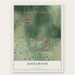
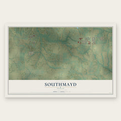
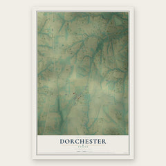
More maps nearby: Howe, Denison, Pottsboro, Tom Bean and Bells.
The art of mapping a place
How This Map Was Made
Real places. Remarkable detail. Discover the layers that turn geographic data into a map of home.

The view from above
Aerial imagery reveals the character of the land: woodland, open fields, and the patterns of a place.

The shape of the land
Elevation data brings hills, valleys, and subtle changes in the landscape into view.

The details of home
Roads, waterways, and building footprints come together to make the map feel unmistakably local.

Geography becomes art
Considered color, shading, and typography bring the layers together in a map made for your wall.


Process illustrated with Mendon, Massachusetts. Aerial imagery: USDA NAIP. Terrain: USGS 3D Elevation Program. Map details and finished artwork: KNOWOL.
The Details
About This Print
Choose an archival matte print, or a black or white Ayous wood frame. The archival matte print is unframed.
Select your size and finish above to see the matching product image and price.
Materials & Craftsmanship
A contemporary map with the character of a classic atlas, printed on archival matte paper. Optional frames are made from Ayous wood.
Your printed map does not include the watermark shown in the full-map preview.
Shipping & Delivery
Free shipping within the United States. Every print is made to order in the USA.
Buying a gift? Add a note in your cart and we'll include it. We never put prices in the package.
Prints ship within 2 to 3 business days. Allow 7 to 10 days total from ordering for delivery. Timing may vary during holidays or periods of high order volume.
Read our shipping policy.
Returns and damaged prints
Each print is made to order. Change-of-mind refunds are not available after production.
If your print arrives damaged, misprinted or incorrect, contact support@knowol.com within 30 days of receiving it. Include your order number, photos and a description of the issue.
Read our full refund and replacement policy. For questions about your order, email support@knowol.com.