
Search for another town




Free U.S. delivery 7 to 10 days after you order
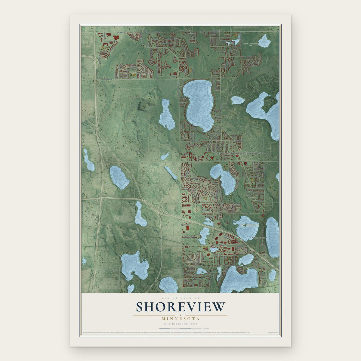
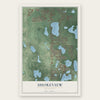
Shoreview, Minnesota Map Art
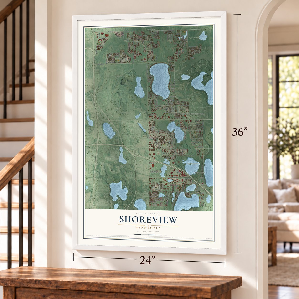
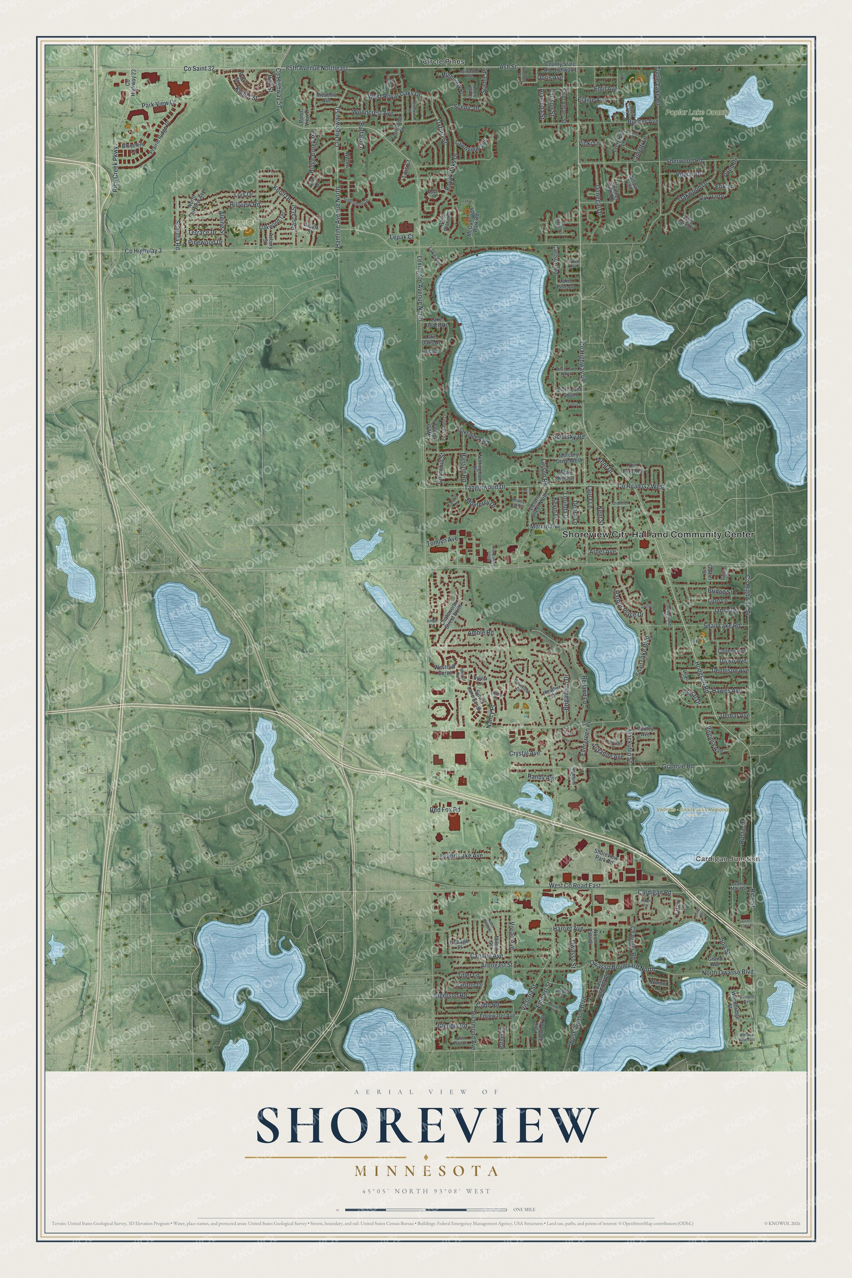
A new map of Shoreview, Minnesota, made in 2026 and printed to order on thick archival matte paper.
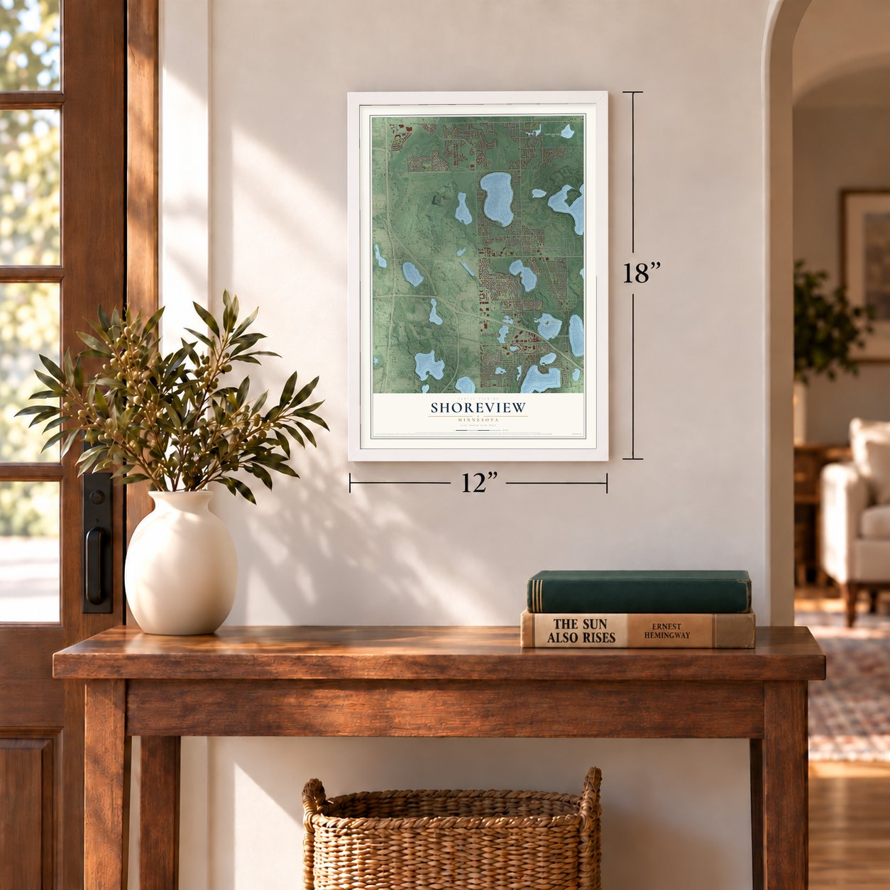
12" x 18" Archival Matte Print
A Map of Home. A Work of Art.
Explore Shoreview, Minnesota from a whole new perspective. Created using aerial imagery and detailed geographic data, this map captures Shoreview building by building, with labeled streets, familiar landmarks, and shaded topographical relief that highlights the natural contours of the landscape.
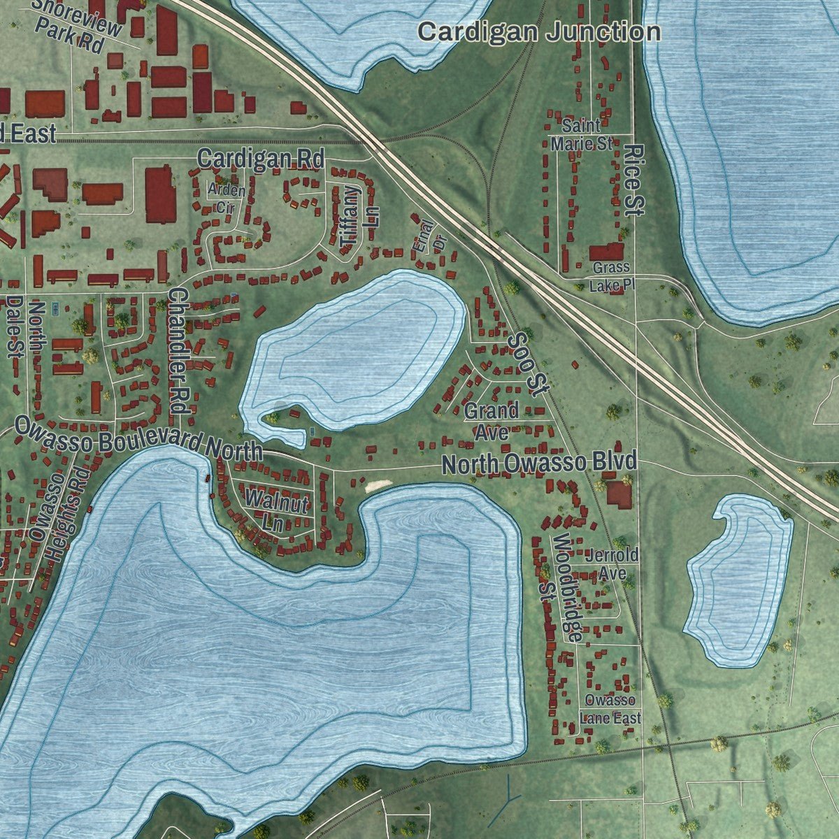
Combining modern data with the timeless character of a vintage atlas, this map is just as interesting up close as it is beautiful on the wall. Whether you grew up in Shoreview, spent memorable years there, or call it home today, this unique map is a great way to celebrate a place that means something to you. Zoom in on the preview to look for your street, and then order a print to put your memories on the wall.
Three ways to hang it
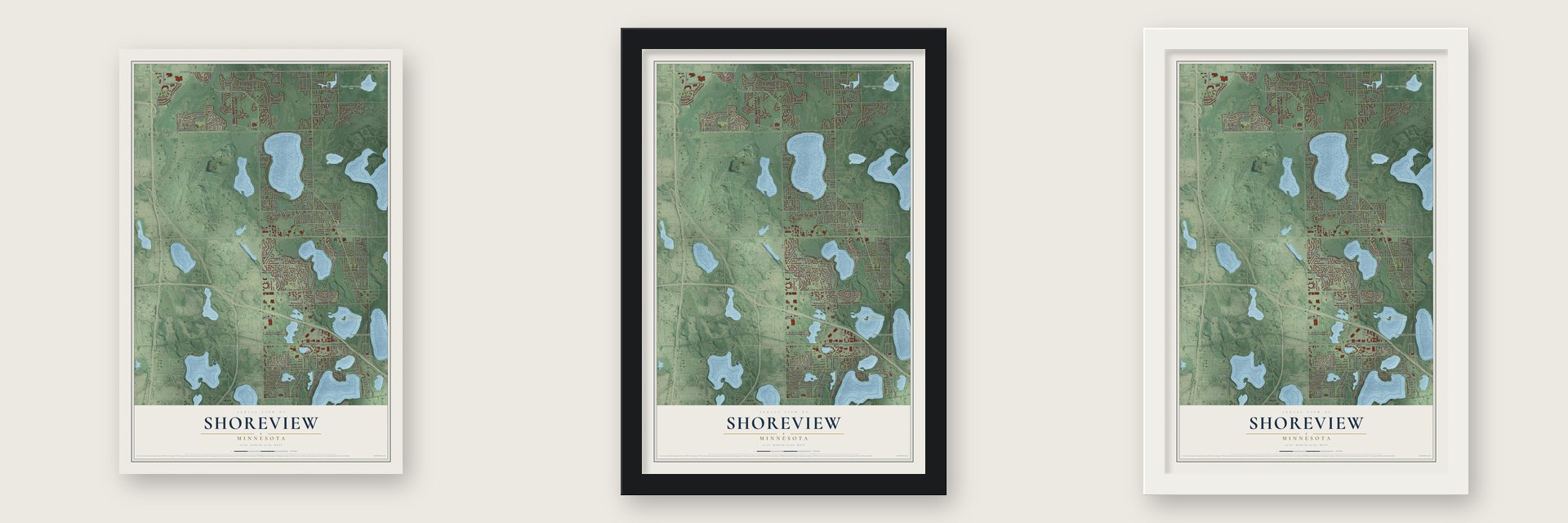
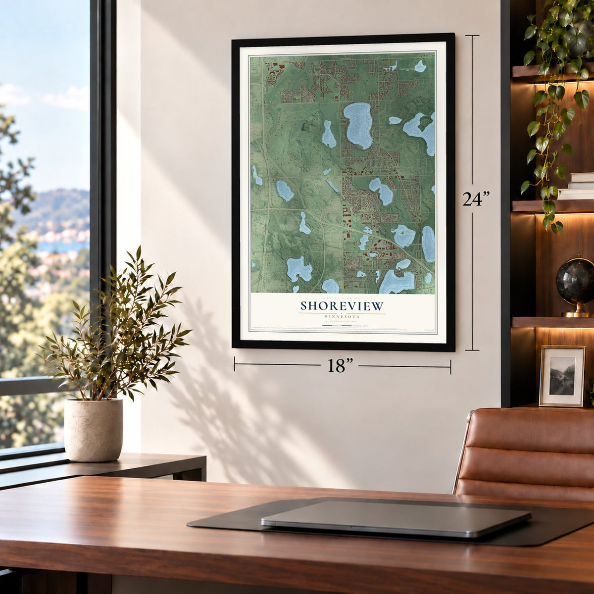
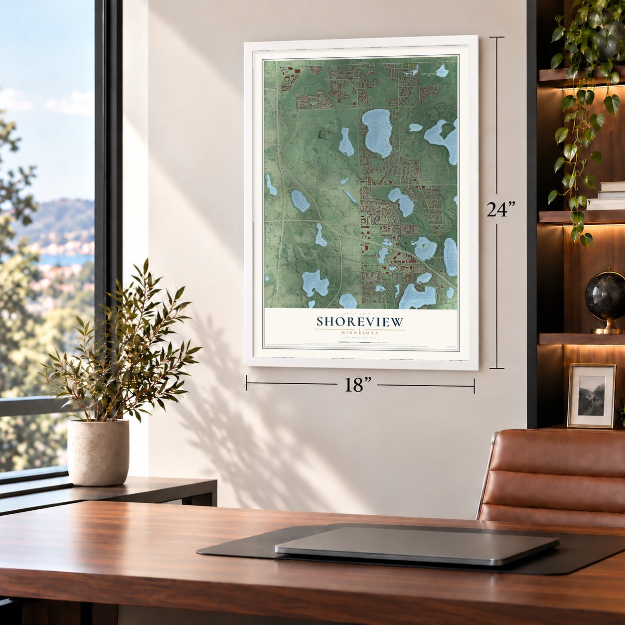
Unframed archival matte, a black wood frame or a white wood frame.
Up close
Geography Worth Displaying
This map was created using accurate cartographic data and authoritative geographic sources, including the U.S. Geological Survey and the Census Bureau. The map brings together terrain, waterways, roads, and building detail. The majority of the streets are labeled, houses are accurately depicted, and the topography is derived from government sources. Combining local data with carefully composed color and shading leads to this beautifully detailed Shoreview artwork for your wall.
Rather than simply showing street outlines, we’ve included as many of the street names as we could reasonably fit on the map while keeping their names legible. Zoom in on the high resolution preview to see exactly what’s on the map. We truly set out to create a statement piece for anyone who loves Shoreview. So whether it’s for you, or a gift for someone you love, we hope this map of Shoreview brings back fond memories.
Read the story behind this map of Shoreview, Minnesota from 2026.
About Shoreview, Minnesota
Shoreview is a city of 26,921 people in Ramsey County, just north of Saint Paul. Socrates A. Thompson came early in 1850 as the first settler who was not Indigenous. Families from Switzerland, England, Ireland and Germany soon followed, along with others from Vermont, Virginia, Illinois and New York, and they turned the land into farms. In 1957 the area was incorporated as the village of Shoreview, and land once known as Mounds View took the new name.
- Seven lakes and Rice CreekSeven lakes lie within Shoreview. Island Lake, Lake Owasso, Snail Lake and Turtle Lake are the largest of them, and Rice Creek curves through the city's northwest corner. Shoreview maintains nine parks of its own, and the county runs three more.
- The Twin Cities' broadcast towersMost of the Twin Cities' FM and TV stations send their signals from Shoreview. The KMSP TV Tower rises 1,466 feet and carries KMSP, WFTC, Twin Cities Public Television and ten FM stations. Nearby, the two Telefarm Towers reach 1,436 and 1,438 feet, and WCCO, KARE and others broadcast from them.
- A tower collapse in 1971In September 1971 a TV tower under construction fell on the land where the Telefarm Towers now stand. Seven workers died, and the accident put Shoreview in national headlines.
- An Olympian and a senatorOlympic rock climber Kyra Condie comes from Shoreview. So do Sam Hentges, a pitcher for the Cleveland Guardians, Jesper Horsted, an NFL tight end, and Madelyn Reiter, a businesswoman who serves in the Minnesota Senate.
Find your street
Names on the Shoreview map
Every name below is printed on this map. Look for your street, your school, the park where you played, or the pond down the road.
Places and landmarks6
- Shoreview City Hall and Community Center
- Cardigan Junction
- Poplar Lake County Park
- Shamrock Park
- Vadnais - Snail Lakes Regional Park
- Circle Pines
Streets and roads208
- Ash Street
- Rice Creek Parkway
- Co Saint 32
- County Highway 49
- Hodgson Road
- Doris Avenue
- County Highway 3
- Lexington Avenue North
- 85th Avenue Northeast
- Hamline Avenue North
- County Highway 50
- Hall Street
- Victoria Street
- Snail Lake Boulevard
- Lois Court
- Churchill Street
- Cardigan Road
- Rice Street
- Sherwood Road
- Gramsie Road
- West County Road East
- County Highway 51
- County Road G2 West
- Tanglewood Drive
- Harriet Avenue
- Bucher Avenue
- Rustic Place
- Mackubin Street
- Turtle Lake Road
- Oxford Street
Show all 208 streets
- Oakwood Drive
- Nancy Place
- Richmond Avenue
- Kent Street
- Vivian Avenue
- Royal Oaks Drive
- Lois Drive
- Arbogast Street
- West Royal Oaks Drive
- Reiland Lane
- Soo Street
- Cannon Avenue
- Owasso Street
- Bridge Street
- Snail Lake Road
- Brigadoon Drive
- Knoll Drive
- North Owasso Boulevard
- Ridge Creek Road
- Park View Drive
- Owasso Boulevard North
- Alameda Street
- Amble Road
- Dawn Avenue
- Hillview Road
- Emil Avenue
- Virginia Avenue
- Emmert Street
- Chandler Road
- Woodcrest Avenue
- Donegal Drive
- Pinewood Drive
- West Owasso Boulevard
- Mound Avenue
- Schutta Road
- Lawnview Avenue
- Suzanne Avenue
- Dennison Avenue
- Poplar Drive
- Monterey Drive
- Larson Road
- Cobb Road
- Tomlyn Avenue
- Floral Drive
- Jansa Drive
- Lion Lane
- Demar Avenue
- Terrace Drive
- Hanson Road
- Knight Street
- Debra Lane
- Aldine Street
- Carlton Drive
- Island Lake Avenue
- Randy Avenue
- County Highway 54
- Highview Place
- Pascal Street
- Ingerson Road
- Crystal Avenue
- Tiller Lane
- Elaine Avenue
- Kent Drive
- Carlson Road
- Harbor Place Drive
- Lametti Lane
- Vicki Lane
- Hawes Avenue
- Pond Drive
- Scenic Place
- Scenic Drive
- Lorinda Drive
- Laura Lane
- Glenhill Road
- Evergreen Place
- Carlson Street
- Schifsky Road
- Red Fox Road
- Arner Avenue
- Lepak Court
- Kevin Lane
- Buffalo Lane
- Erik Lane
- County State Aid Highway 1
- County Highway 23
- Chatsworth Street North
- Willow Trail
- Edgewater Avenue
- Prairie Ridge Drive
- Victoria Street North
- Fernwood Street
- Heather Ridge Drive
- North Fairview Avenue
- Colleen Avenue
- Galtier Street
- Cottage Place
- Milton Street
- Woodbridge Street
- Saint Albans Street
- Mercury Drive West
- McCullough Park Road
- Oak Hill Drive
- Sylvia Lane South
- Lilac Lane
- Owasso Heights Road
- Westcliff Curve
- Park Street
- Meadow Avenue
- Lake Avenue
- West Turtle Lane
- Oakwood Terrace
- Evergreen Lane
- Park Overlook Drive
- Tiffany Lane
- Bluestem Lane
- Park Place Drive
- Oakridge Avenue
- Albert Street
- North Dale Street
- Shoreview Park Road
- Nottingham Place
- Lake Beach Drive
- Willow Lane
- Long Lake Court
- Heather Drive
- Birch Lane South
- Dudley Avenue
- Lake Pine Drive
- Lake Oaks Drive
- Grand Avenue
- Hafner Court
- Asbury Street
- Pond View Drive
- Old Farm Road
- Maple Pond Court
- Walnut Lane
- Villa Drive
- Sylvia Lane
- Highland Drive
- Westview Drive
- Carmel Court
- Galtier Place
- East Turtle Lane
- Hardwood Avenue
- Silverthorn Drive
- Royal Court
- Glen Paul Court
- Birch Lane North
- Cumberland Court
- Amber Drive
- Saint Marie Street
- Jerrold Avenue
- Nelson Drive
- Bristol Run
- David Court
- Grove Avenue
- Robin Oak Court
- Lakeridge Drive
- North Milton Street
- Grass Lake Place
- Owasso Lane East
- Dellwood Avenue
- Birchwood Street
- Milton Street North
- Timber Lane
- Carol Lane
- Amble Drive
- Saint Albans Circle
- Harbor Lane
- Martha Lake Court
- Sunset Court
- Pheasant Drive
- Chandler Court
- Avon Street
- Evans Court
- Arden Circle
- Shirlee Lane
- Ernal Drive
Names are listed as they appear on the printed map. Zoom into the product photos to find them.
The art of mapping a place
How This Map Was Made
Real places. Remarkable detail. Discover the layers that turn geographic data into a map of home.

The view from above
Aerial imagery reveals the character of the land: woodland, open fields, and the patterns of a place.

The shape of the land
Elevation data brings hills, valleys, and subtle changes in the landscape into view.

The details of home
Roads, waterways, and building footprints come together to make the map feel unmistakably local.

Geography becomes art
Considered color, shading, and typography bring the layers together in a map made for your wall.


Process illustrated with Mendon, Massachusetts. Aerial imagery: USDA NAIP. Terrain: USGS 3D Elevation Program. Map details and finished artwork: KNOWOL.
The Details
About This Print
Choose an archival matte print, or a black or white Ayous wood frame. The archival matte print is unframed.
Select your size and finish above to see the matching product image and price.
Materials & Craftsmanship
A contemporary map with the character of a classic atlas, printed on archival matte paper. Optional frames are made from Ayous wood.
Your printed map does not include the watermark shown in the full-map preview.
Shipping & Delivery
Free shipping within the United States. Every print is made to order in the USA.
Buying a gift? Add a note in your cart and we'll include it. We never put prices in the package.
Prints ship within 2 to 3 business days. Allow 7 to 10 days total from ordering for delivery. Timing may vary during holidays or periods of high order volume.
Read our shipping policy.
Returns and damaged prints
Each print is made to order. Change-of-mind refunds are not available after production.
If your print arrives damaged, misprinted or incorrect, contact support@knowol.com within 30 days of receiving it. Include your order number, photos and a description of the issue.
Read our full refund and replacement policy. For questions about your order, email support@knowol.com.
Find your town
Looking for another city?
Find a map of home in our Minnesota collection, or any town in the country.
Nearby
Maps of towns near Shoreview
Know someone from one of these towns? Their map makes a great gift.
 Arden Hills
, Minnesota
From $39.99See the map
 North Oaks
, Minnesota
From $39.99See the map
 New Brighton
, Minnesota
From $39.99See the map
More maps nearby: Mounds View, Vadnais Heights, Lexington, Circle Pines and Roseville.